 Outdoor Pitstop
Cycle route · Zwolle · Updated on 6 November 2026
Fietssnelweg Vechtdal
Fietssnelweg Vechtdal is a cycle route of 39.3 km from Zwolle. Along the way you'll find 54 benches and picnic tables, 1 water point and 1 public toilet.
i
The route step by step
From start to finish, with what you pass along the way and the distance in between.
- 39.3 km
- ± 2:35 h
- ↑ 13 m · ↓ 6 m
- Moderate
- From A to B
- Regional route
- Colour of the signs
Start in Zwolle
0 km508 m

Memorial
29.8 km · 50 benches
Public toilet and water point
30.4 km8.9 km · 4 benches
Finish
39.3 km
Longest stretch without a toilet: 30.4 kmBetween 0 km and 30.4 km there is no public toilet within 100 m of the route.
The route with the pitstops and sights within 100 m of it.
1 sight along the way
In the order you pass them. With the Outdoor Pitstop app you hear their story on the spot.
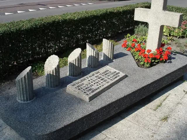
Monument aan de Meppelerstraatweg
Memorial · after 508 m
Elevation and terrain
- Up
- ↑ 13 m
- Down
- ↓ 6 m
- Highest point
- 10 m
- Lowest point
- 1 m
Nowhere steeper than 5%.
Elevation from AHN (Rijkswaterstaat), smoothed.
Way types
39.3 km in total- Road: 18.5 km
- Cycle path: 16.3 km
- Street: 4.4 km
Surfaces
39.3 km in total- Asphalt: 25.5 km
- Paved: 4.7 km
- Unknown: 9 km
About the cycle route Fietssnelweg Vechtdal
Updated on 6 November 2026, with data from OpenStreetMap and the AHN.
Where do you cycle?
Fietssnelweg Vechtdal is a cycle route of 39.3 km that starts in Zwolle. It does not end where it starts. You start in Zwolle and finish in Hardenberg. Along the way you pass Monument aan de Meppelerstraatweg (after 508 m).
How hard is the route?
The route is almost flat. You climb 13 m in total and descend 6 m. Allow ± 2:35 h, without breaks. The level is moderate.
What roads do you cycle on?
The longest part is road (18.5 km), cycle path (16.3 km) and street (4.4 km). Of the surface, 25.5 km asphalt and 4.7 km paved. For 9 km the surface is not known.
Pitstops along the way
Within 100 metres of the route there are 54 benches and picnic tables, 1 water point and 1 public toilet. You can fill your bottle after 30.4 km. The longest stretch without a toilet is 30.4 km. The Outdoor Pitstop app navigates you there.
The Fietssnelweg Vechtdal (F340) is a fast cycle route of just over 39 km from Zwolle to Hardenberg, through the municipalities of Dalfsen and Ommen. You ride via Gerner, Welsum, Oudleusen, Holt, Ommen, Arriën and Hoogengraven. Over two fifths is cycle path, the rest mostly road, and most of it is asphalt. The route is meant for everyday cycling. We know of one toilet and one water tap on the way.
Cycle routes nearby
3Sights nearby
Within 10 km of the route, best known first.
- 1
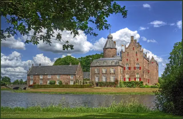 Kasteel RechterenCastle · 2.3 km from the route
- 2
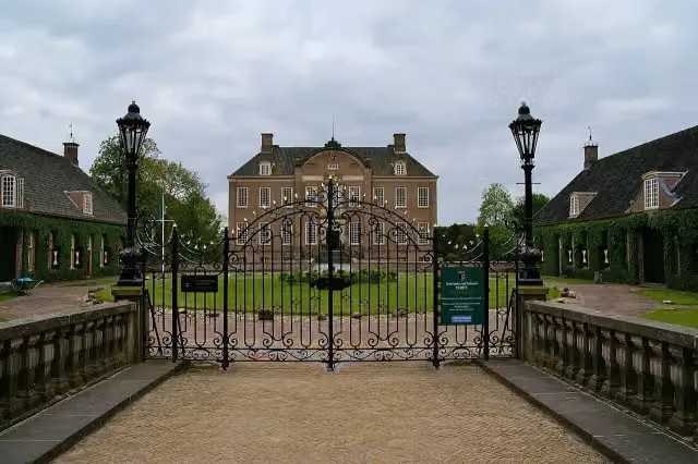 Kasteel EerdeCastle · 4.4 km from the route
- 3
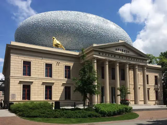 Museum de Fundatie / Paleis aan de BlijmarktMuseum · 1.6 km from the route
- 4
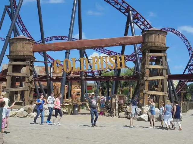 Gold RushAttraction · 6.3 km from the route
- 5
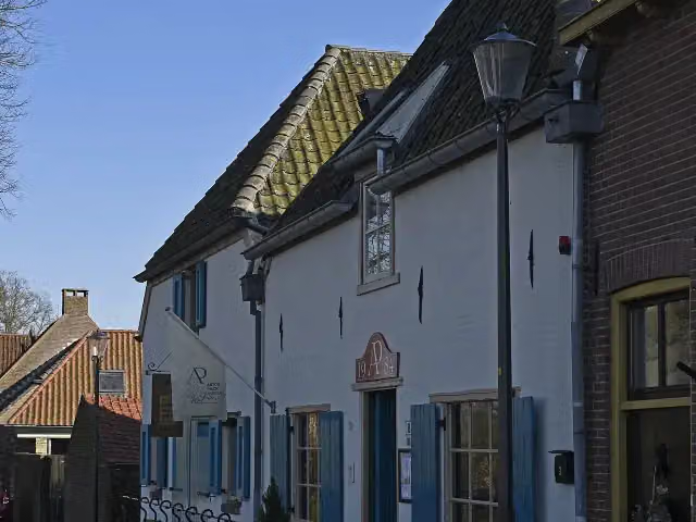 Anton Pieck MuseumMuseum · 5.6 km from the route
- 6
 Red Bandits AdventureAttraction · 6.3 km from the route
- 7
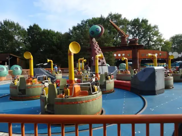 Expedition NautilusAttraction · 5.8 km from the route
- 8
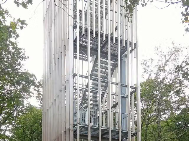 Uitkijktoren de StokteObservation tower · 560 m from the route
- 9
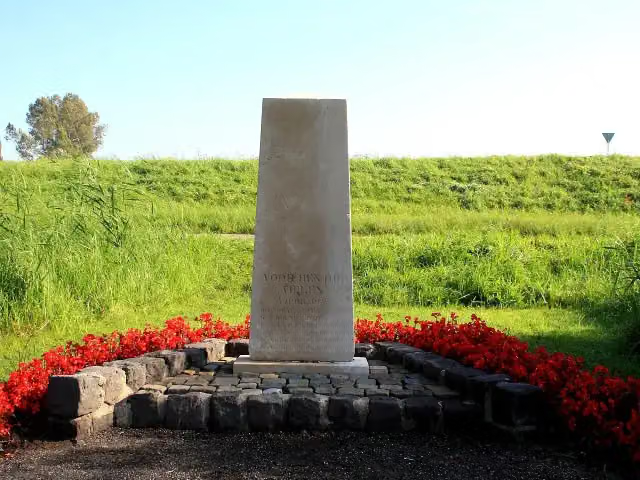 FusillademonumentMemorial · 5.4 km from the route
- 10
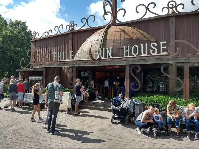 Phileas Fun HouseAttraction · 5.8 km from the route
- 11
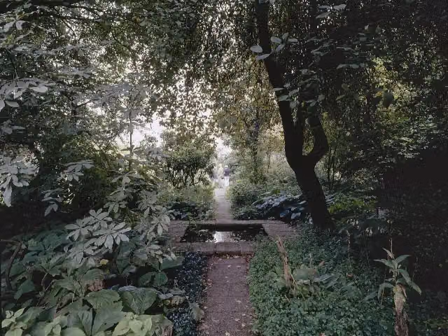 Tuinen Mien RuysAttraction · 6.7 km from the route
- 12
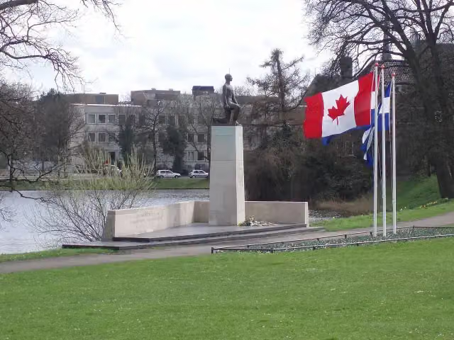 Monument voor de gevallenen 1940-1945Memorial · 1.1 km from the route
- 13
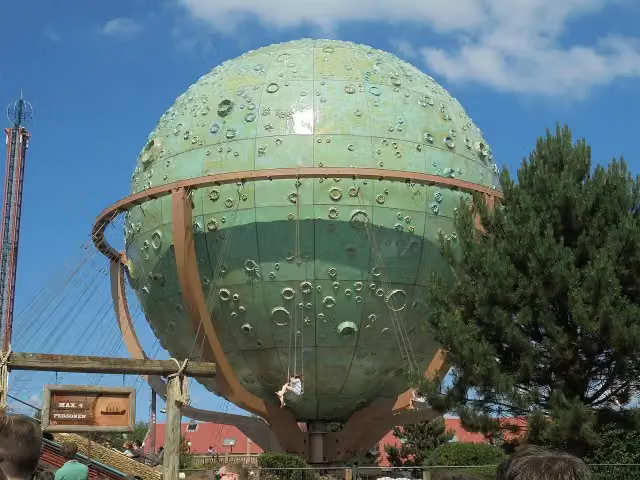 ApolloAttraction · 5.9 km from the route
- 14
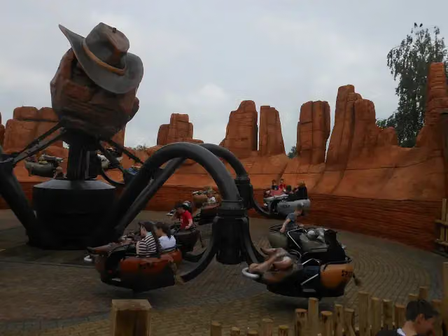 El ToritoAttraction · 5.9 km from the route
- 15
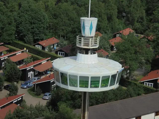 Sky TowerAttraction · 6 km from the route
- 16
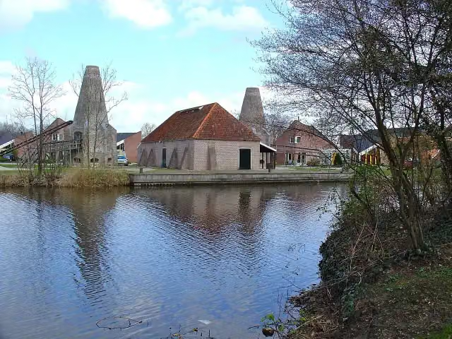 Historisch centrum KalkovensMuseum · 7.6 km from the route
- 17
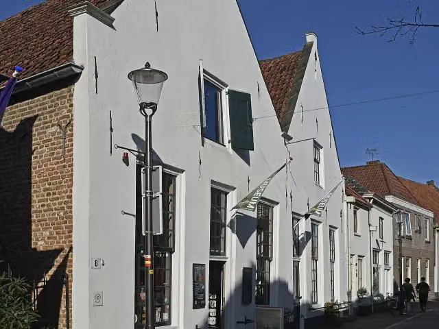 Voerman Museum HattenMuseum · 5.7 km from the route
- 18
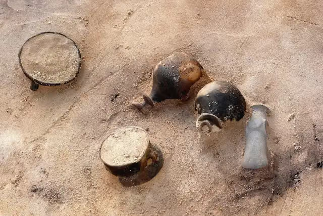 Trechterbeker grafveldArchaeological site · 269 m from the route
- 19
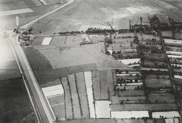 BisschopsschansArchaeological site · 7 km from the route
- 20Herdenkingsmonument Kamp ErikaMemorial · 2.9 km from the route
- 21
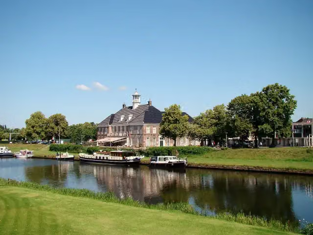 Nationaal Tinnen Figuren MuseumMuseum · 381 m from the route
- 22
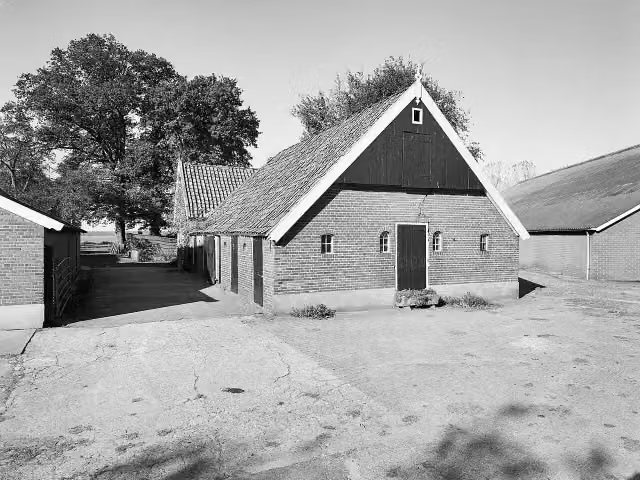 Loozensche LinieArchaeological site · 3.9 km from the route
- 23
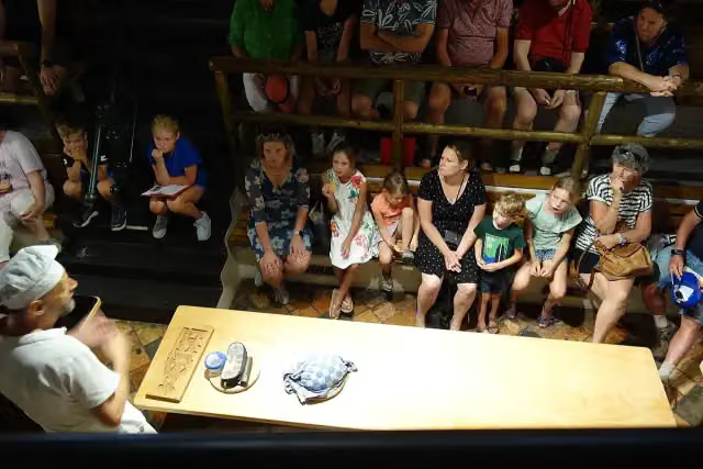 BakkerijmuseumMuseum · 5.6 km from the route
- 24
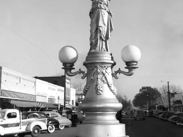 EnterpriseAttraction · 5.8 km from the route
- 25
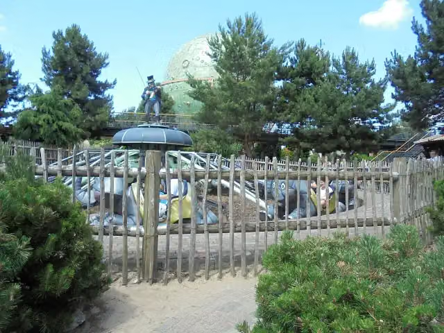 JumboAttraction · 5.8 km from the route
Explore more
Frequently asked questions
How long is Fietssnelweg Vechtdal?
Fietssnelweg Vechtdal is 39.3 km long. Allow ± 2:35 h of riding: 15 km an hour, without breaks.
Is this route a circular ride?
No, the route runs from Zwolle to Hardenberg.
Where does this route start?
The route starts in Zwolle.
How hard is this route?
Moderate, with 13 m of climbing.
Are there toilets along this route?
Yes, there are 1 public toilet within 100 m of the route. The longest stretch without a toilet is 30.4 km.
Can you fill up with water along this route?
Yes, there are 1 water point within 100 m of the route.
What is there to see along this route?
Along the way you pass Monument aan de Meppelerstraatweg.
Starting point
More routes from this place
Route data © OpenStreetMap contributors





