 Outdoor Pitstop
Cycle route · Emlichheim · Updated on 13 November 2026
United Countries Tour cycle route
United Countries Tour is a cycle route of 252.1 km from Emlichheim. Along the way you'll find 152 benches, 1 water point, 5 public toilets and 1 honesty box.
The route step by step
From start to finish, with what you pass along the way and the distance in between.
- 252.1 km
- ± 8:25 h per stage
- ↑ 173 m · ↓ 183 m
- Hard per stage
- From A to B
- Regional route
Pick a stage to see the pitstops per kilometre. Along the way you'll find 152 benches, 1 water point, 5 public toilets and 1 honesty box.
Follow these steps in the appThe route with the water points, toilets and sights within 100 m of it.
3 sights along the way
In the order you pass them. With the Outdoor Pitstop app you hear their story on the spot.

Observation tower
Memorial
Museum
Stages (2)
Elevation and terrain
- Up
- ↑ 173 m
- Down
- ↓ 183 m
- Highest point
- 33 m
- Lowest point
- 0 m
Nowhere steeper than 5%.
Elevation from Copernicus GLO-30 (European Union and ESA), smoothed.
produced using Copernicus WorldDEM-30 © DLR e.V. 2010-2014 and © Airbus Defence and Space GmbH 2014-2018 provided under COPERNICUS by the European Union and ESA; all rights reserved
Way types
252.1 km in total- Road: 129 km
- Street: 38.7 km
- Path: 38.5 km
- Cycle path: 30.3 km
- Track: 10.8 km
- Busy road: 2 km
- Footpath (walk your bike): 525 m
- Unknown: 2 km
Surfaces
252.1 km in total- Asphalt: 144.5 km
- Paved: 43.9 km
- Gravel: 15.1 km
- Natural: 1.2 km
- Unpaved: 700 m
- Unknown: 46.4 km
About the cycle route United Countries Tour
Updated on 13 November 2026, with data from OpenStreetMap, the AHN and Copernicus.
Where do you cycle?
United Countries Tour is a cycle route of 252.1 km that starts in Emlichheim. It does not end where it starts.
How hard is the route?
You climb 173 m in total and descend 183 m. Allow ± 8:25 h per stage, without breaks. Per stage the level is hard.
What roads do you cycle on?
The longest part is road (129 km), street (38.7 km) and path (38.5 km). Of the surface, 144.5 km asphalt and 43.9 km paved. For 46.4 km the surface is not known.
Pitstops along the way
Within 100 metres of the route there are 152 benches, 1 water point, 5 public toilets and 1 honesty box. The Outdoor Pitstop app navigates you there.
The United Countries Tour is a long-distance cycle route of about 194 km through south-east Drenthe, East Groningen and the Emsland region of Germany, crossing the border again and again. You ride past places such as Ter Apel, Zwartemeer, Weiteveen, Schoonebeek and Roswinkel, through the Bargerveen, the Sellingerbossen woods and the Bourtanger Moor - Veenland nature park, and past the Bourtange fortress, hunebed D45 in the Emmerdennen and the Industrieel Smalspoor Museum (narrow-gauge railway museum). It is flat; about a third is cycle path. For such a long route we know of few facilities: three toilets and two water taps. The route is managed by Emsland Tourismus GmbH.
Cycle routes nearby
6- Grafschafter Fietsentour, HauptrouteHard · Circular ride216.9 km
- Vechtetalroute - 03 - Nordhorn - EmlichheimModerate · From A to B51.1 km
- EmmelkampEasy · From A to B28.8 km
- Vechtetalroute / Vechtdalroute - 04 - Emlichheim - OmmenModerate · From A to B54 km
- Saksenroute - 03 - Borger - CoevordenModerate · From A to B53.4 km
- KlenckerouteModerate · Circular ride51.9 km
Sights nearby
Within 10 km of the route, best known first.
- 1
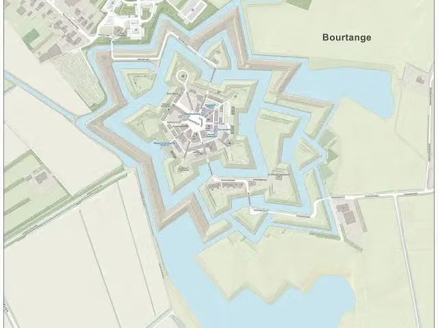 Fort BourtangeCastle · 590 m from the route
- 2
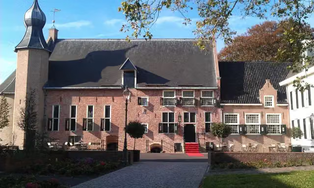 Kasteel van CoevordenCastle · 1.5 km from the route
- 3
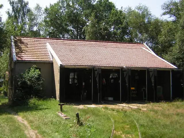 Industrieel Smalspoor MuseumMuseum · 3.3 km from the route
- 4
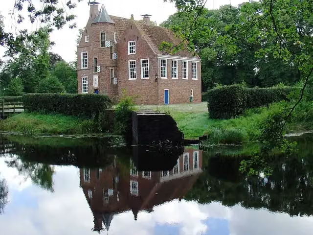 Burcht WeddeCastle · 9.5 km from the route
- 5
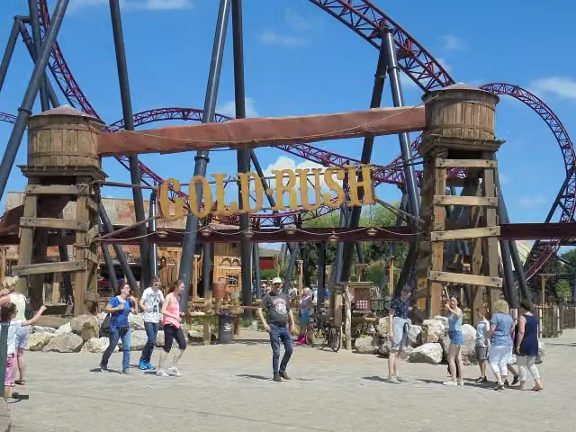 Gold RushAttraction · 9.7 km from the route
- 6
 Red Bandits AdventureAttraction · 9.6 km from the route
- 7
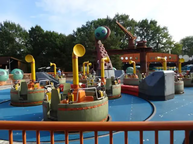 Expedition NautilusAttraction · 9.4 km from the route
- 8
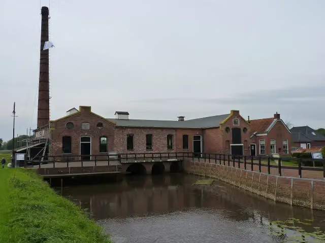 Museum Stoomgemaal WinschotenMuseum · 7.4 km from the route
- 9
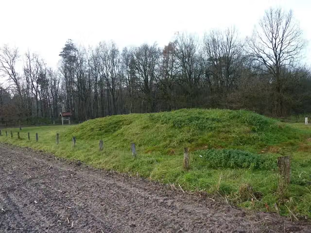 O2 ManderArchaeological site · 9.5 km from the route
- 10
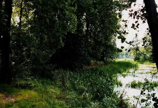 De HunenborgArchaeological site · 9.5 km from the route
- 11
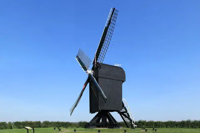 Standerdmolen Ter HaarAttraction · 2.6 km from the route
- 12
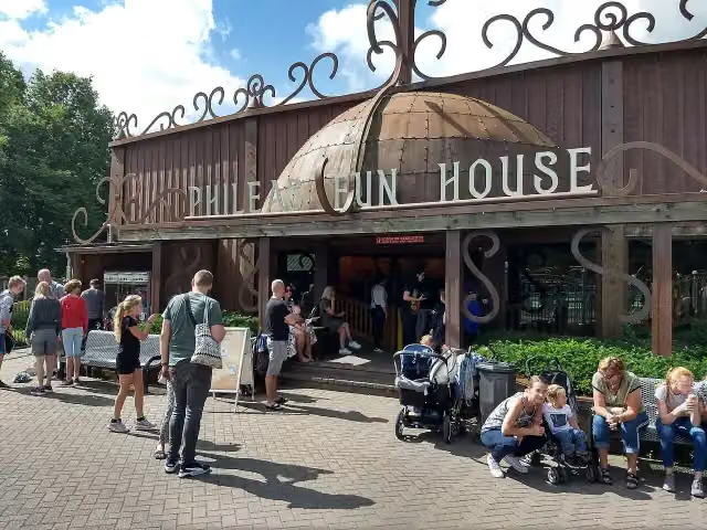 Phileas Fun HouseAttraction · 9.5 km from the route
- 13
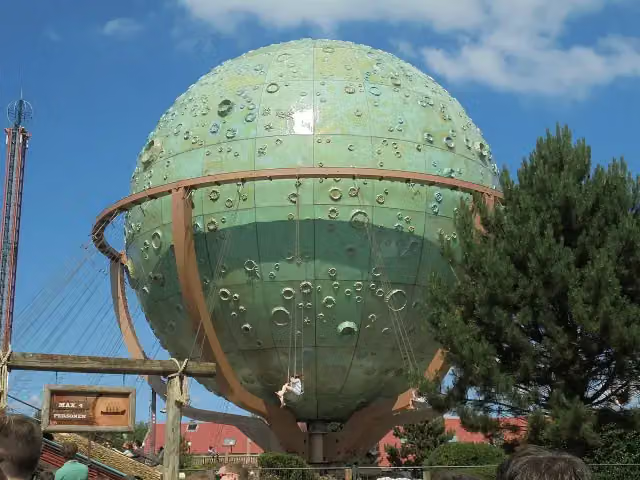 ApolloAttraction · 9.5 km from the route
- 14
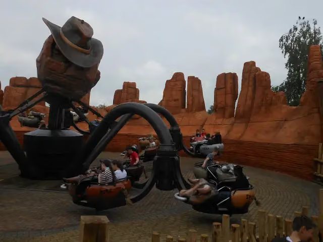 El ToritoAttraction · 9.4 km from the route
- 15
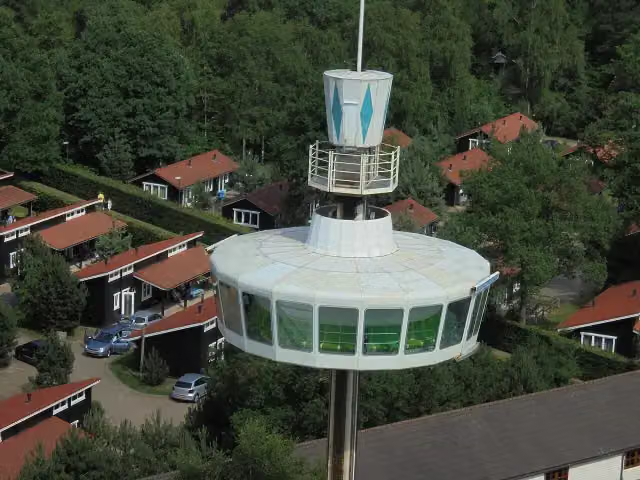 Sky TowerAttraction · 9.5 km from the route
- 16
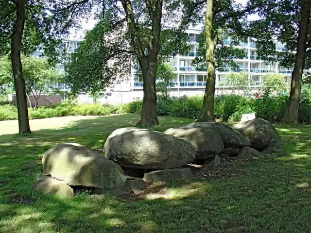 Hunebed D47 Emmen - AngelsloArchaeological site · 9.8 km from the route
- 17
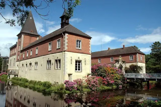 Schloss DankernCastle · 414 m from the route
- 18
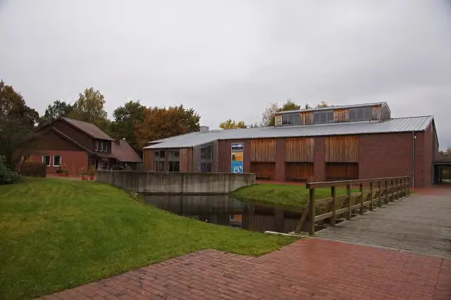 Emsland MoormuseumMuseum · 144 m from the route
- 19
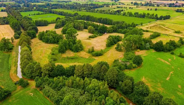 Dieler SchanzeArchaeological site · 654 m from the route
- 20
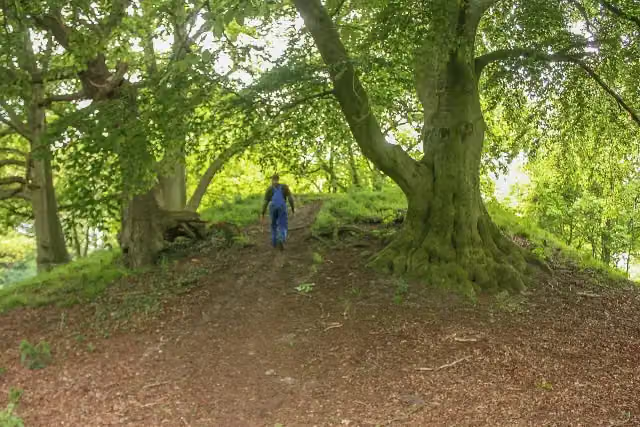 Poaschebarg - Historische StätteAttraction · 1.1 km from the route
- 21
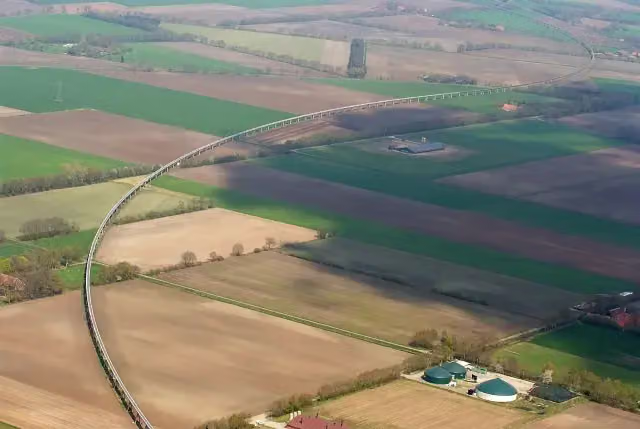 Transrapid Versuchsanlage Emsland (TVE)Attraction · 2.1 km from the route
- 22
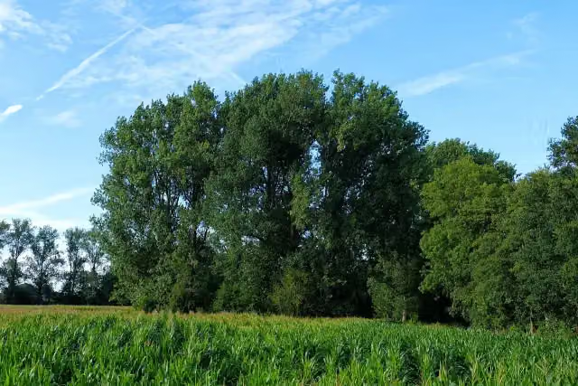 Burg NienhausArchaeological site · 2.2 km from the route
- 23
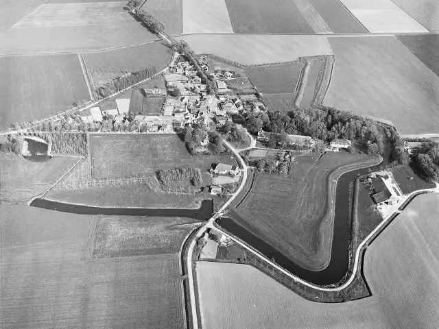 OudeschansArchaeological site · 2.4 km from the route
- 24
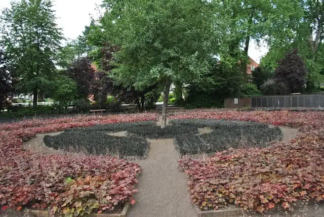 Schwarzer GartenMemorial · 2.7 km from the route
- 25
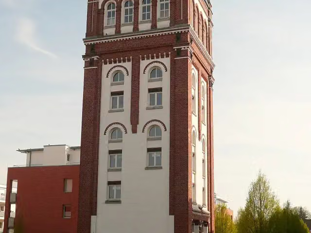 PovelturmObservation tower · 2.9 km from the route
Explore more
More cycle routes around Emlichheim
Frequently asked questions
How long is United Countries Tour?
United Countries Tour is 252.1 km long, in 2 stages of 126.1 km on average. Allow ± 8:25 h per stage of riding: 15 km an hour, without breaks.
How many stages does this route have?
The route is split into 2 stages of 126.1 km on average, 252.1 km in all. The shortest stage is 105.6 km, the longest 146.5 km.
Is this route a circular ride?
No, the route starts and ends at different spots.
Where does this route start?
The route starts in Emlichheim.
How hard is this route?
Hard per stage, with 87 m per stage of climbing.
Are there toilets along this route?
Yes, there are 5 public toilets within 100 m of the route.
Can you fill up with water along this route?
Yes, there are 1 water point within 100 m of the route.
What is there to see along this route?
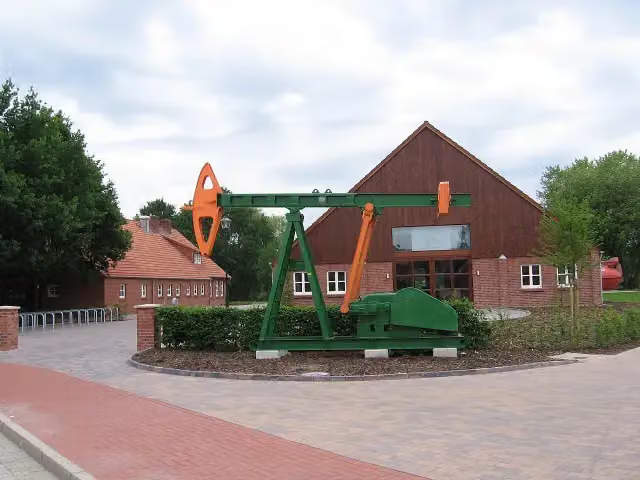
Along the way you pass Observation tower, Franzosenfriedhof and Erdöl-Erdgas-Museum Twist.
Which stage of this route has the most points of interest?
Stage 1 (146.5 km), with 3 points of interest along the route, such as Observation tower, Franzosenfriedhof and Erdöl-Erdgas-Museum Twist.
Can I download this route as a GPX file?
Yes. Sign in with your Outdoor Pitstop account and choose Download GPX at the top of this page: 10 routes a month for free, unlimited with Pro.
Starting point
More routes from this place
Route data © OpenStreetMap contributors





