 Outdoor Pitstop
Cycle route · Zwickau · Updated on 14 November 2026
Radroute an der Silberstraße cycle route
Radroute an der Silberstraße is a cycle route of 223.8 km from Zwickau. Along the way you'll find 602 benches, 3 water fountains and refill points, 9 public toilets and 4 bike pumps.
i
i
The route step by step
From start to finish, with what you pass along the way and the distance in between.
- 223.8 km
- ± 14:55 h
- ↑ 2,789 m · ↓ 2,943 m
- Hard
- From A to B
- Regional route
Start in Zwickau
0 km9.1 km · 36 benches
Bike pump
9.1 km1.7 km

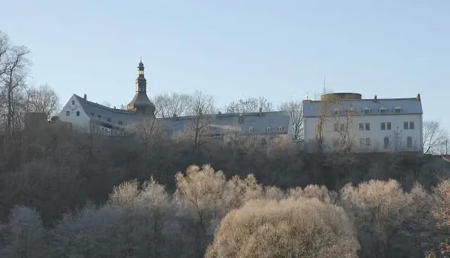
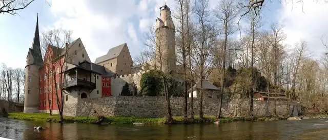
Schloss Wiesenburg
10.8 kmCastle
7.8 km · bench
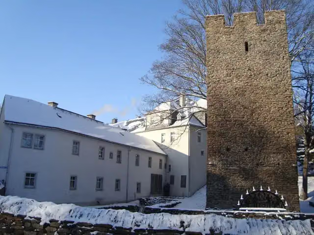
Stein Castle
18.7 kmMuseum
12 km · 5 benches
Public toilet
30.7 km25.1 km · 32 benches
Water point
55.8 km2.2 km · 6 benches
Bike pump
58 km8.4 km · 2 benches
Paßklausenturm
66.4 kmBike pump
16.6 km · 41 benches
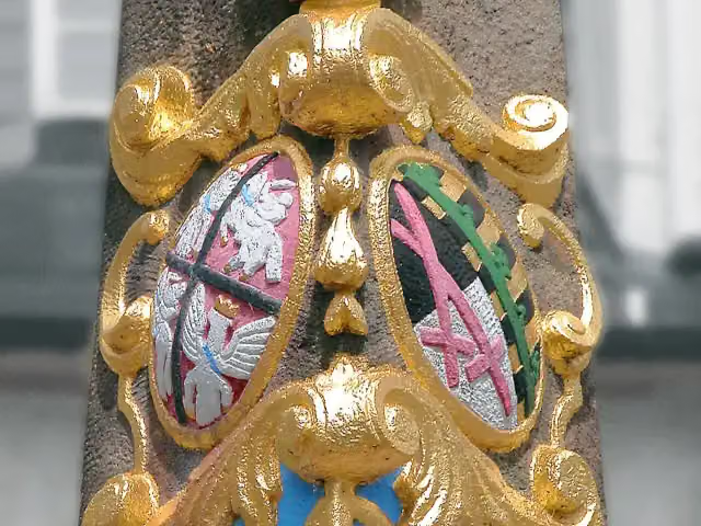
Kursächsische Postmeilensäule
83 kmAttraction
2 km · 14 benches
Public toilet and water point
85 km5.8 km · 4 benches
Aussichtsturm Drei-Brüder-Höhe
90.8 kmPublic toilet
3.1 km · 9 benches
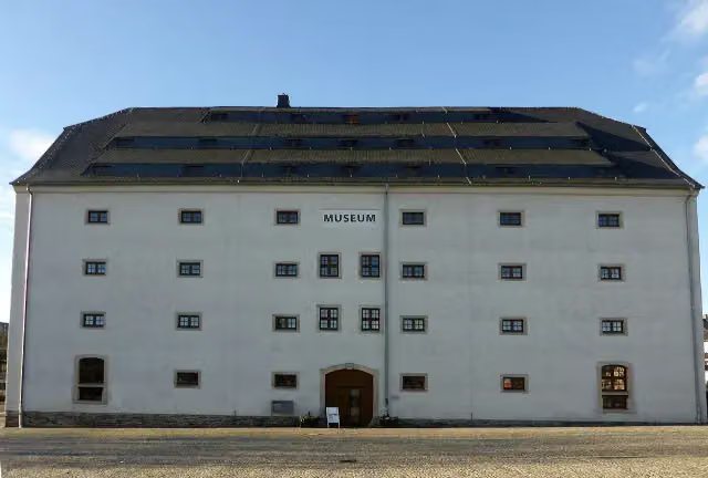
Museum sächsisch-böhmisches Erzgebirge
93.9 kmMuseum
24.7 km · 15 benches
Kupferhammer Museum Saigerhütte
118.6 kmPublic toilet
11.8 km · 15 benches
Public toilet
130.3 km38 km · 43 benches
Dreibrüderschacht
168.3 kmAttraction
24.3 km · 37 benches
Hetzdorfer Heimatpyramide
192.6 kmPublic toilet
8.4 km · 40 benches
Forstvermessungsdenkmal
201 kmMemorial
5.5 km · 15 benches
Kursächsische Postmeilensäule and 1 more
206.4 kmSchloss Tharandt
786 m · 31 benches
Bike pump
207.2 km2.9 km · 27 benches
Water point
210.1 km1.5 km · 2 benches
Public toilet
211.7 km6.2 km · 102 benches
Begerburg
217.9 kmCastle
1.6 km · 7 benches
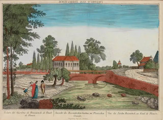
Hohenplauensches Wasserhaus (Fundamentreste) and 1 more
219.5 kmMuseum Hofmühle
1.6 km · 23 benches
2 public toilets
221.1 km2.4 km · 95 benches
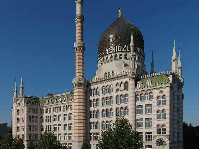
Yenidze
223.5 kmAttraction
263 m
Finish
223.8 km
Longest stretch without a toilet: 62.3 kmBetween 130.3 km and 192.6 km there is no public toilet within 100 m of the route.
The route with the pitstops and sights within 100 m of it.
16 sights along the way
In the order you pass them. With the Outdoor Pitstop app you hear their story on the spot. 8 more along the route are on the map.
i
Photo: Caulobacter subvibrioides · Wikimedia Commons · CC BY-SA 3.0View the photo on Wikimedia CommonsCastle · after 10.8 km
i
Photo: Caulobacter subvibrioides · Wikimedia Commons · CC BY-SA 3.0View the photo on Wikimedia CommonsMuseum · after 18.7 km
i
Photo: Miebner · Wikimedia Commons · CC BY-SA 3.0View the photo on Wikimedia CommonsCastle · after 66.4 km
i
Photo: Jörg Blobelt · Wikimedia Commons · CC BY-SA 4.0View the photo on Wikimedia CommonsAttraction · after 83 km

Observation tower · after 90.8 km
i
Photo: © 1971markus · Wikimedia Commons · CC BY-SA 4.0View the photo on Wikimedia CommonsMuseum · after 93.9 km
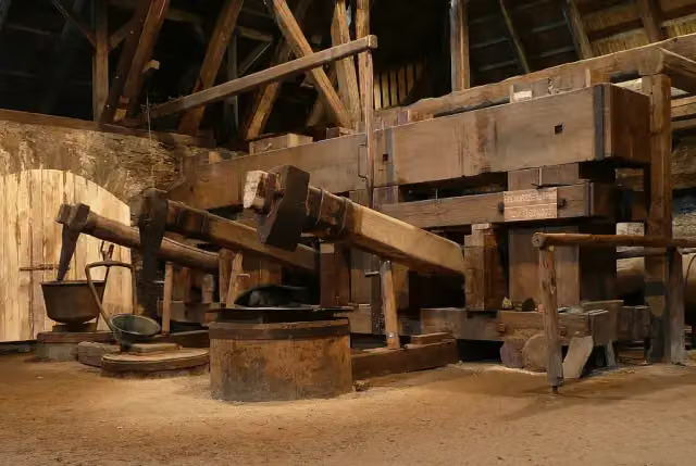
i
Photo: Norbert Kaiser · Wikimedia Commons · CC BY-SA 3.0View the photo on Wikimedia CommonsMuseum · after 118.6 km
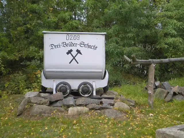
Attraction · after 168.3 km
Elevation and terrain
- Up
- ↑ 2,789 m
- Down
- ↓ 2,943 m
- Highest point
- 797 m
- Lowest point
- 112 m
- 5-10% slope · 23.6 km
- 10-15% slope · 1.1 km
- 1 flight of stairs
Elevation from Copernicus GLO-30 (European Union and ESA), smoothed.
produced using Copernicus WorldDEM-30 © DLR e.V. 2010-2014 and © Airbus Defence and Space GmbH 2014-2018 provided under COPERNICUS by the European Union and ESA; all rights reserved
Way types
223.8 km in total- Street: 62.1 km
- Track: 59.4 km
- Road: 53 km
- Busy road: 23.4 km
- Path: 19.4 km
- Cycle path: 3 km
- Footpath (walk your bike): 2.6 km
- Steps (carry your bike): 1 flight of stairs
- Unknown: 125 m
Surfaces
223.8 km in total- Asphalt: 152.6 km
- Gravel: 35.5 km
- Paved: 15.9 km
- Unpaved: 3.7 km
- Natural: 1.5 km
- Unknown: 14 km
About the cycle route Radroute an der Silberstraße
Updated on 14 November 2026, with data from OpenStreetMap, the AHN and Copernicus.
Where do you cycle?
Radroute an der Silberstraße is a cycle route of 223.8 km that starts in Zwickau. It does not end where it starts. You start in Zwickau and finish in Dresden. Along the way you pass Schloss Wiesenburg (after 10.8 km), Stein Castle (after 18.7 km) and Paßklausenturm (after 66.4 km).
How hard is the route?
You climb 2,789 m in total and descend 2,943 m. There is 1 flight of steps along the way. Allow ± 14:55 h, without breaks. The level is hard.
What roads do you cycle on?
The longest part is street (62.1 km), track (59.4 km) and road (53 km). Of the surface, 152.6 km asphalt and 35.5 km gravel. For 14 km the surface is not known.
Pitstops along the way
Within 100 metres of the route there are 602 benches, 3 water fountains and refill points, 9 public toilets and 4 bike pumps. You can fill your bottle after 55.8 km, after 85 km and after 210.1 km. The longest stretch without a toilet is 62.3 km. The Outdoor Pitstop app navigates you there.
Cycle routes nearby
3Sights nearby
Within 10 km of the route, best known first.
- 1
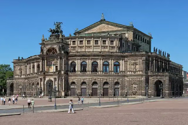 SemperoperAttraction · 800 m from the route
- 2
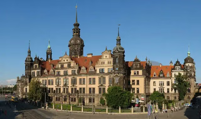 Dresden CastleAttraction · 1 km from the route
- 3
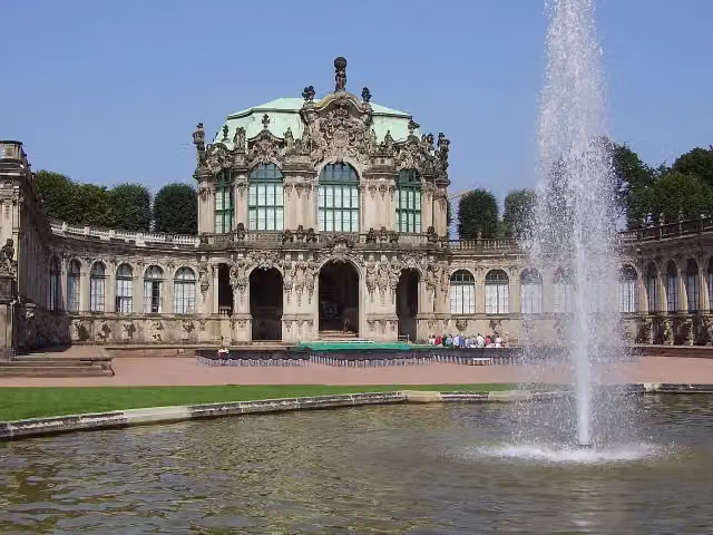 ZwingerAttraction · 820 m from the route
- 4
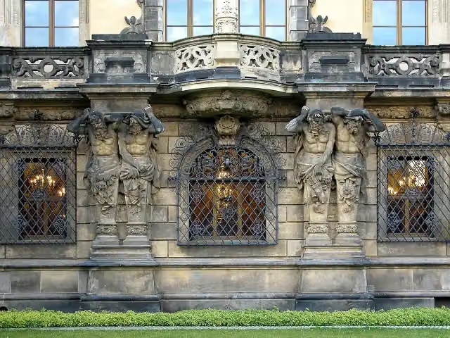 Historisches Grünes GewölbeMuseum · 984 m from the route
- 5
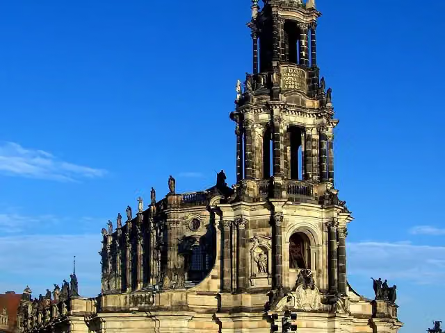 Kathedrale Ss. TrinitatisAttraction · 991 m from the route
- 6
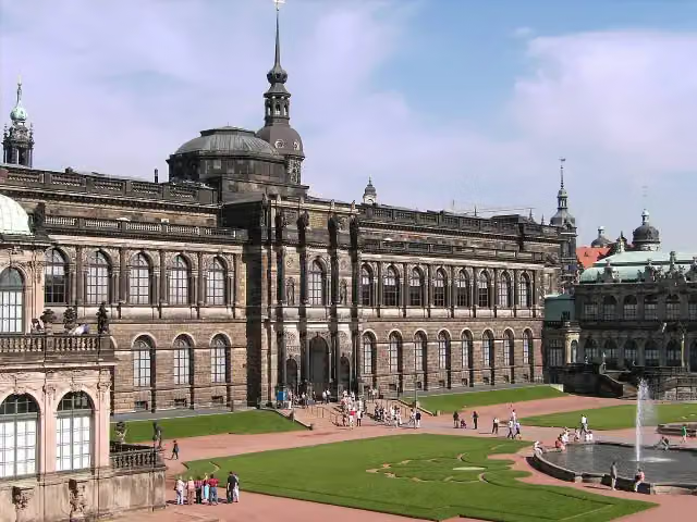 Gemäldegalerie Alte MeisterMuseum · 835 m from the route
- 7
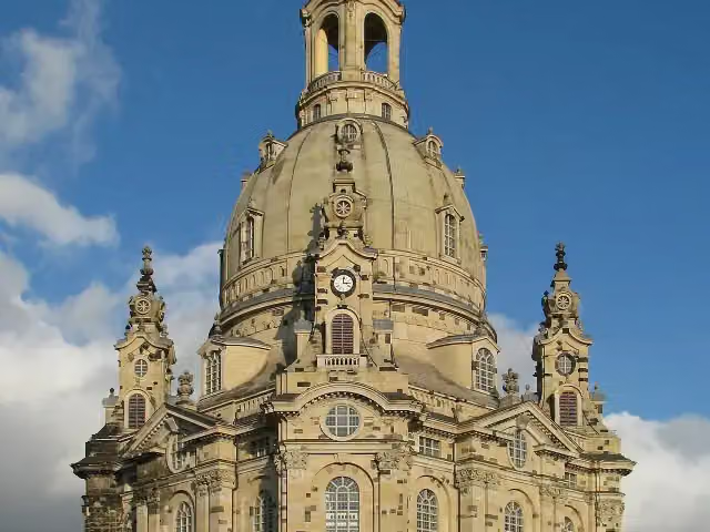 Church of Our LadyAttraction · 1.3 km from the route
- 8
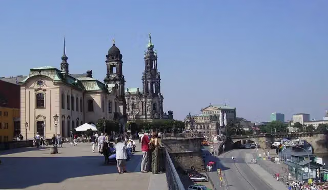 Brühl's TerraceAttraction · 1.2 km from the route
- 9
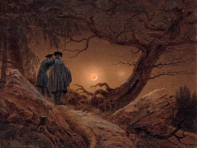 AlbertinumMuseum · 1.5 km from the route
- 10
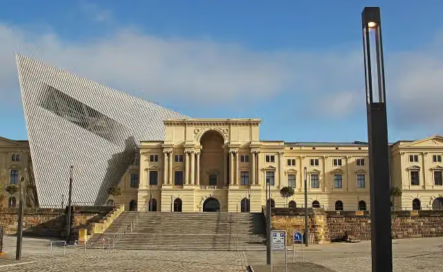 Bundeswehr Military History MuseumMuseum · 3 km from the route
- 11
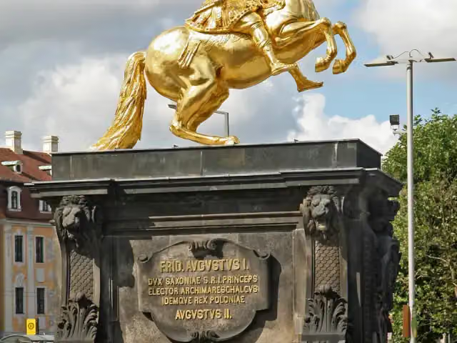 Goldener ReiterAttraction · 966 m from the route
- 12
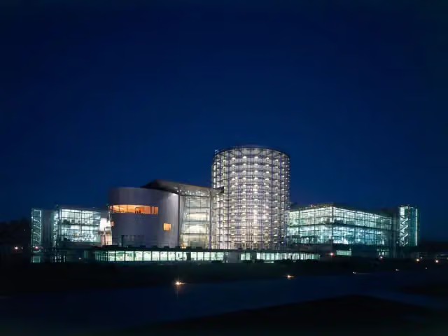 Gläserne ManufakturMuseum · 2.6 km from the route
- 13
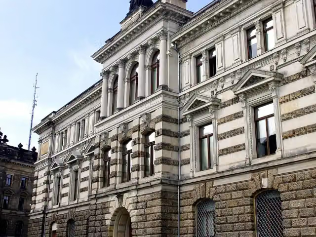 Galerie Neue MeisterMuseum · 1.5 km from the route
- 14
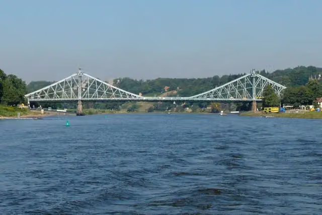 Loschwitzer BrückeAttraction · 5.8 km from the route
- 15
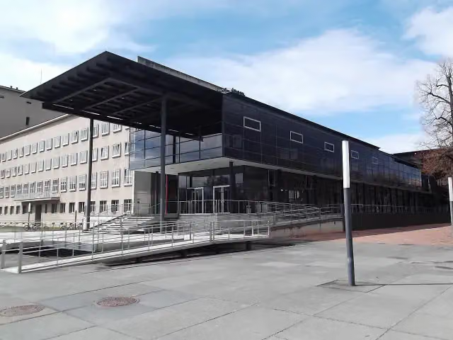 Saxon State ParliamentAttraction · 543 m from the route
- 16
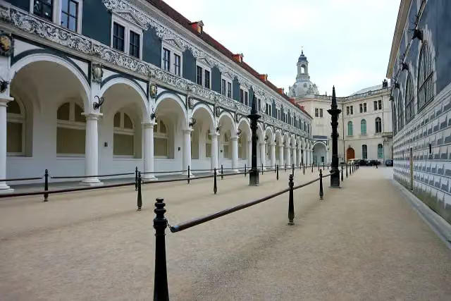 StableyardAttraction · 1.1 km from the route
- 17
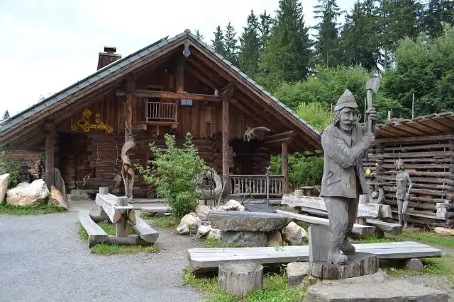 Longest wooden table in the worldAttraction · 4.2 km from the route
- 18
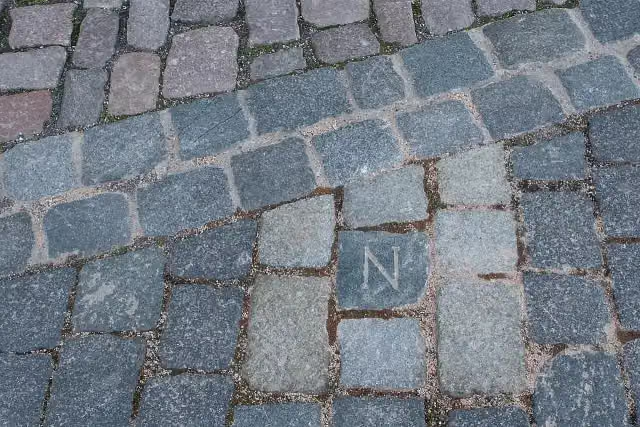 NapoleonsteinMemorial · 1 km from the route
- 19
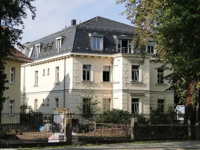 Erich-Kästner-MuseumMuseum · 1.3 km from the route
- 20
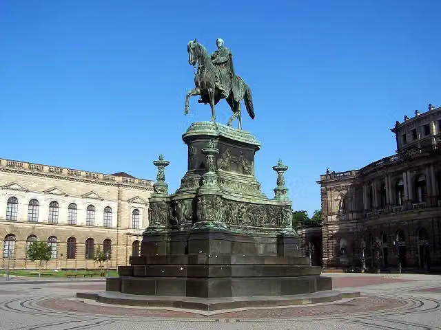 Statue of King JohnMemorial · 883 m from the route
- 21
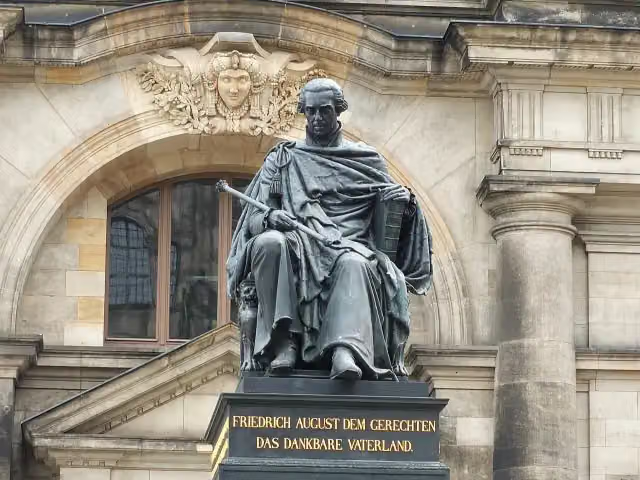 Frederick Augustus I of Saxony MonumentMemorial · 1.1 km from the route
- 22
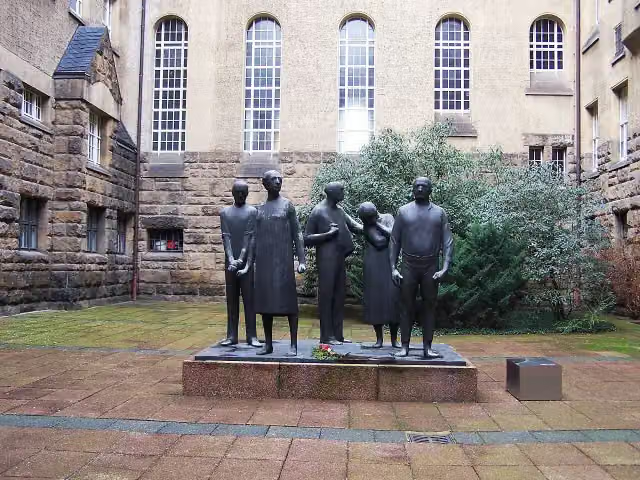 Münchner Platz Memorial DresdenMuseum · 1.4 km from the route
- 23
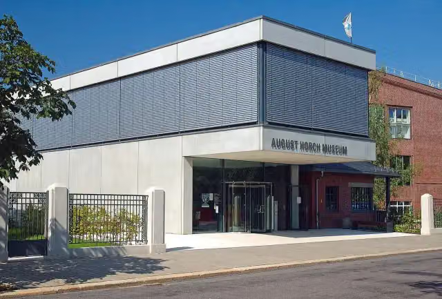 August Horch MuseumMuseum · 3.2 km from the route
- 24
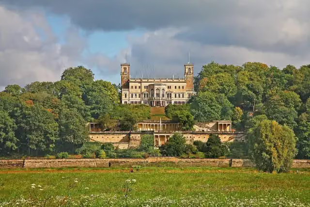 Schloss AlbrechtsbergCastle · 4.6 km from the route
- 25
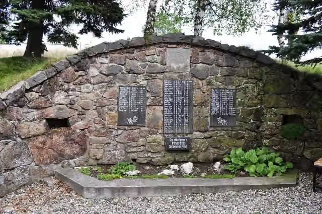 Památník obětem I. světové válkyMemorial · 5 km from the route
Explore more
More cycle routes around Zwickau
More nearby
Frequently asked questions
How long is Radroute an der Silberstraße?
Radroute an der Silberstraße is 223.8 km long. Allow ± 14:55 h of riding: 15 km an hour, without breaks.
Is this route a circular ride?
No, the route runs from Zwickau to Dresden.
Where does this route start?
The route starts in Zwickau.
How hard is this route?
Hard, with 2,789 m of climbing.
Are there toilets along this route?
Yes, there are 9 public toilets within 100 m of the route. The longest stretch without a toilet is 62.3 km.
Can you fill up with water along this route?
Yes, there are 3 water fountains and refill points within 100 m of the route.
What is there to see along this route?
Along the way you pass Schloss Wiesenburg, Stein Castle and Paßklausenturm.
Can I download this route as a GPX file?
Yes. Sign in with your Outdoor Pitstop account and choose Download GPX at the top of this page: 10 routes a month for free, unlimited with Pro.
Starting point
More routes from this place
Route data © OpenStreetMap contributors





