 Outdoor Pitstop
Cycle route · Schöneck/Vogtl. · Updated on 14 November 2026
Mulderadweg [Zwickauer Mulde] cycle route
Mulderadweg [Zwickauer Mulde] is a cycle route of 157.5 km from Schöneck/Vogtl.. Along the way you'll find 329 benches, 6 water fountains and refill points, 9 public toilets and 5 bike pumps.
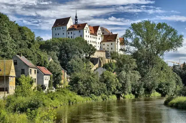
i
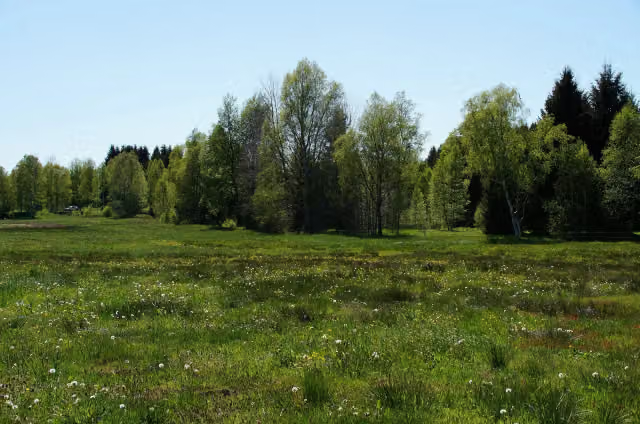
i
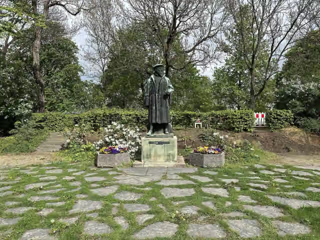
i
The route step by step
From start to finish, with what you pass along the way and the distance in between.
- 157.5 km
- ± 10:30 h
- ↑ 857 m · ↓ 1,486 m
- Hard
- From A to B
- Regional route
Start in Schöneck/Vogtl.
0 km5.3 km · bench
Public toilet and water point
5.3 km26.3 km · 22 benches
Public toilet and water point
31.6 km6.4 km · 3 benches
Bike pump
38 km7.9 km · 5 benches
Water point
46 km791 m · bench
Water point
46.7 km1.3 km · 13 benches
Public toilet
48 km12 km · 5 benches

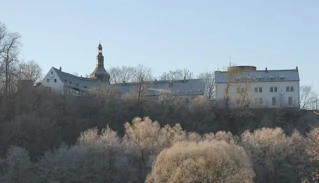
Stein Castle
60.1 kmMuseum
7.8 km · bench
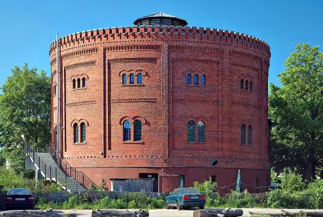
Schloss Wiesenburg
67.9 kmCastle
1.7 km
Bike pump
69.6 km10.5 km · 53 benches
Public toilet
80.1 km432 m · 9 benches
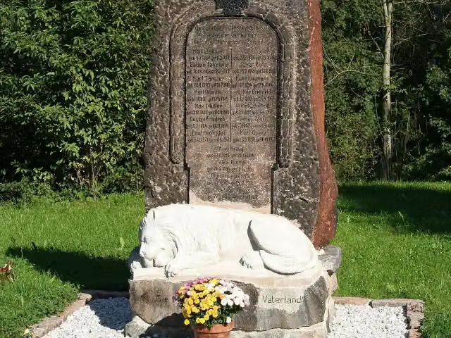
Alter Gasometer
80.6 kmAttraction
11.9 km · 47 benches
Bike pump
92.5 km5 km · 12 benches
Public toilet
97.5 km15.2 km · 31 benches
2 public toilets
112.7 km3.2 km · 9 benches
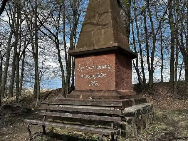
Denkmal für die Gefallenen des 1. Weltkrieges
115.9 kmMemorial
4.1 km · 17 benches
Weiße Spitze
120 kmMemorial
7.2 km · 12 benches
Public toilet
127.3 km436 m · 2 benches
Bike pump
127.7 km5.8 km · 31 benches
Water point
133.5 km608 m · 4 benches
Water point
134.1 km6.4 km · 13 benches
Bike pump
140.5 km12.6 km · 19 benches
Public toilet
153.1 km398 m · 17 benches
Oflag IV-C and 1 more
153.5 kmColditz Castle
4 km · 2 benches
Finish
157.5 km
Longest stretch without a toilet: 32.1 kmBetween 48 km and 80.1 km there is no public toilet within 100 m of the route.
The route with the pitstops and sights within 100 m of it.
7 sights along the way
In the order you pass them. With the Outdoor Pitstop app you hear their story on the spot.
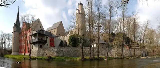
i
Photo: Caulobacter subvibrioides · Wikimedia Commons · CC BY-SA 3.0View the photo on Wikimedia CommonsMuseum · after 60.1 km
i
Photo: Caulobacter subvibrioides · Wikimedia Commons · CC BY-SA 3.0View the photo on Wikimedia CommonsCastle · after 67.9 km
i
Photo: André Karwath aka Aka · Wikimedia Commons · CC BY-SA 2.5View the photo on Wikimedia CommonsAttraction · after 80.6 km
i
Photo: Michael w · Wikimedia Commons · CC BY-SA 3.0View the photo on Wikimedia CommonsMemorial · after 115.9 km
i
Photo: Michael Wolf (Webseite) · Wikimedia Commons · CC BY-SA 3.0View the photo on Wikimedia CommonsMemorial · after 120 km
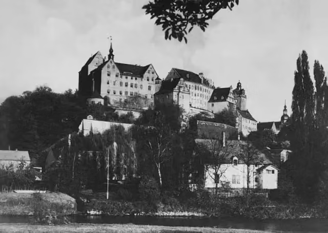
Museum · after 153.5 km
- Audio story · 2 min
i
Photo: SKOMP46866 · Wikimedia Commons · CC BY 3.0View the photo on Wikimedia CommonsColditz Castle
Attraction · after 153.5 km
Elevation and terrain
- Up
- ↑ 857 m
- Down
- ↓ 1,486 m
- Highest point
- 797 m
- Lowest point
- 135 m
- 5-10% slope · 4.8 km
Elevation from Copernicus GLO-30 (European Union and ESA), smoothed.
produced using Copernicus WorldDEM-30 © DLR e.V. 2010-2014 and © Airbus Defence and Space GmbH 2014-2018 provided under COPERNICUS by the European Union and ESA; all rights reserved
Way types
157.5 km in total- Road: 47.9 km
- Track: 30.7 km
- Street: 28.1 km
- Path: 19.3 km
- Busy road: 14.8 km
- Cycle path: 14.2 km
- Footpath (walk your bike): 2.2 km
Surfaces
157.5 km in total- Asphalt: 124.5 km
- Gravel: 18.8 km
- Paved: 7 km
- Unpaved: 725 m
- Natural: 550 m
- Unknown: 5.5 km
About the cycle route Mulderadweg [Zwickauer Mulde]
Updated on 14 November 2026, with data from OpenStreetMap, the AHN and Copernicus.
Where do you cycle?
Mulderadweg [Zwickauer Mulde] is a cycle route of 157.5 km that starts in Schöneck/Vogtl.. It does not end where it starts. Along the way you pass Stein Castle (after 60.1 km), Schloss Wiesenburg (after 67.9 km) and Alter Gasometer (after 80.6 km).
How hard is the route?
You climb 857 m in total and descend 1,486 m. Allow ± 10:30 h, without breaks. The level is hard.
What roads do you cycle on?
The longest part is road (47.9 km), track (30.7 km) and street (28.1 km). Of the surface, 124.5 km asphalt and 18.8 km gravel. For 5.5 km the surface is not known.
Pitstops along the way
Within 100 metres of the route there are 329 benches, 6 water fountains and refill points, 9 public toilets and 5 bike pumps. You can fill your bottle after 5.3 km, after 31.6 km, after 46 km, after 46.7 km, after 133.5 km and after 134.1 km. The longest stretch without a toilet is 32.1 km. The Outdoor Pitstop app navigates you there.
The Mulderadweg on the Zwickauer Mulde is a cycle route of about 158 km in Saxony, running from Schöneck in the Vogtland via Muldenberg, Eibenstock, Aue, Zwickau, Glauchau, Penig and Rochlitz to Colditz. It is one of the three arms of the Mulde Cycle Route, which starts on the Zwickau and Freiberg Mulde rivers and follows the united Mulde to Dessau. Between Wolfsgrün and Aue you ride on a disused railway line. In Colditz there is the Oflag IV-C museum. Four fifths is asphalt. We know of 9 toilets, 6 drinking water points and 5 bike pumps along the route.
Source: Wikipedia (CC BY-SA)
Cycle routes nearby
6- Euregio-Egrensis-Radfernweg [DE-SN (Sachsen)]Hard · From A to B116.5 km
- MusikantenradwegHard · Circular ride104.5 km
- Radfernweg Sächsische Mittelgebirge [Schöneck↔Plauen]Easy · From A to B9.8 km
- Göltzschtalradweg SüdEasy · From A to B22.4 km
- KAMMtourEasy · From A to B9.7 km
- Göltzschtal-HöhenradwegEasy · From A to B12.8 km
Sights nearby
Within 10 km of the route, best known first.
- 1
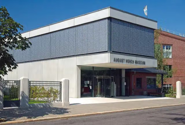 August Horch MuseumMuseum · 873 m from the route
- 2
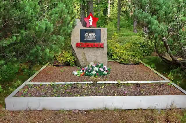 Memorial Prisoncamp SauersackMemorial · 8.3 km from the route
- 3
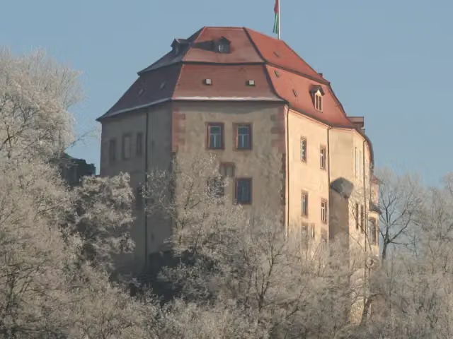 Schloss WolkenburgCastle · 95 m from the route
- 4
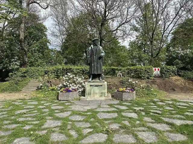 Georgius AgricolaMemorial · 99 m from the route
- 5
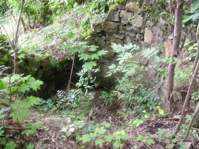 Ruine ZinnbergCastle · 113 m from the route
- 6
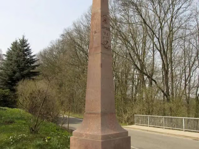 Kursächsische PostmeilensäuleAttraction · 115 m from the route
- 7
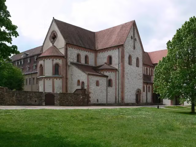 Basilika - Benediktinerkloster WechselburgAttraction · 131 m from the route
- 8
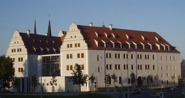 Schloss OstersteinCastle · 133 m from the route
- 9
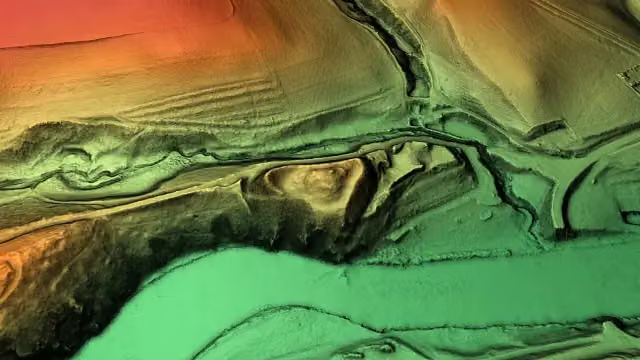 SchlossbergArchaeological site · 156 m from the route
- 10
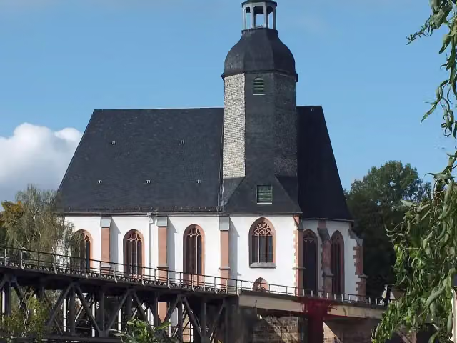 St. Petri KircheAttraction · 210 m from the route
- 11
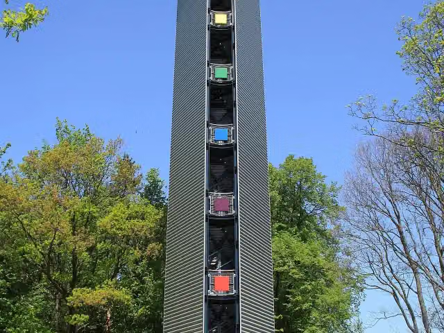 GlückAuf-TurmObservation tower · 248 m from the route
- 12
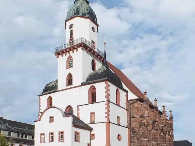 St. KunigundenkircheAttraction · 249 m from the route
- 13
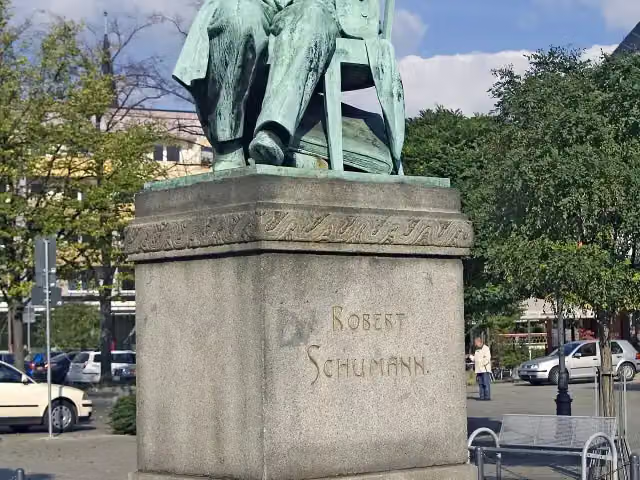 Robert-Schumann-DenkmalMemorial · 254 m from the route
- 14
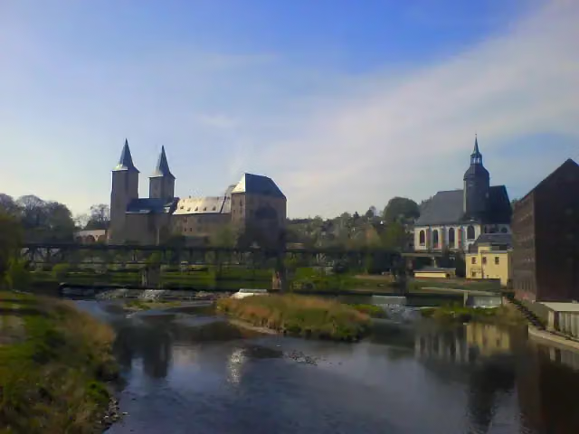 Schloss RochlitzAttraction · 262 m from the route
- 15
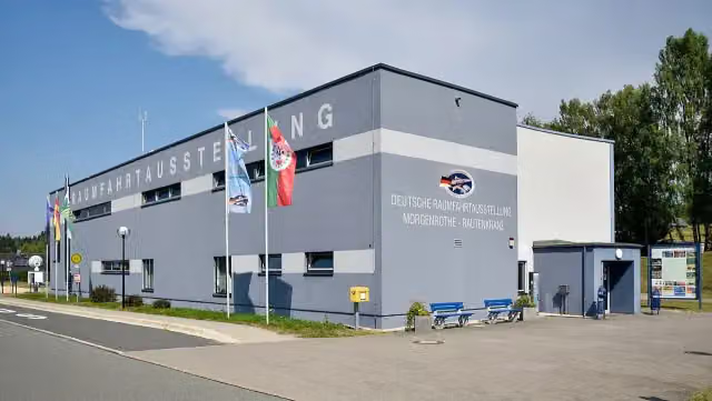 Deutsche RaumfahrtausstellungMuseum · 285 m from the route
- 16
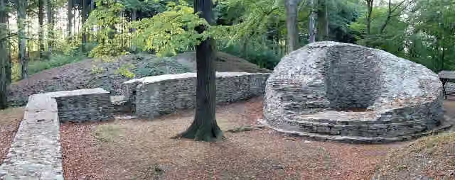 IsenburgCastle · 308 m from the route
- 17
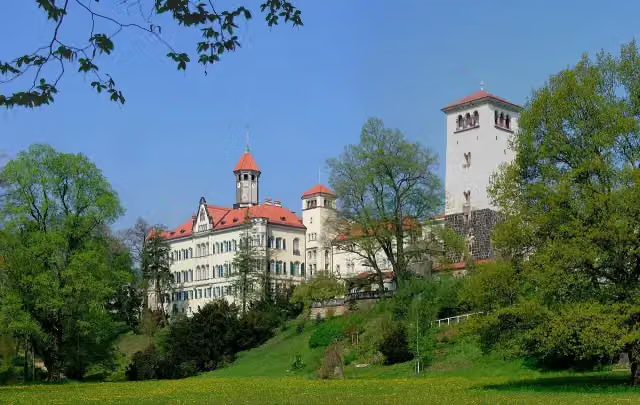 Schloss WaldenburgCastle · 342 m from the route
- 18
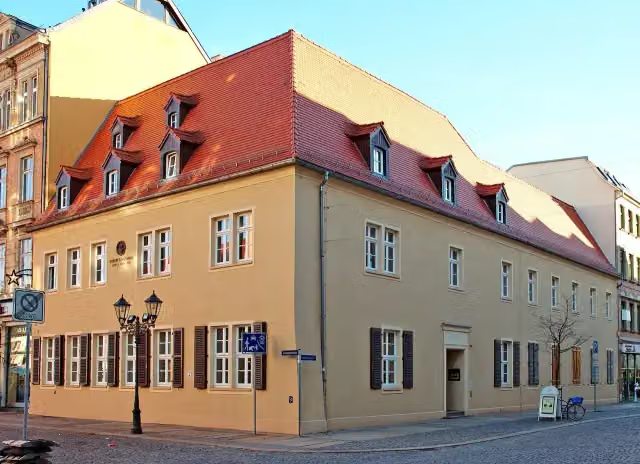 Robert-Schumann-HausMuseum · 359 m from the route
- 19
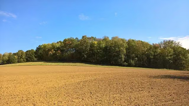 Fischheimer BorstelArchaeological site · 404 m from the route
- 20
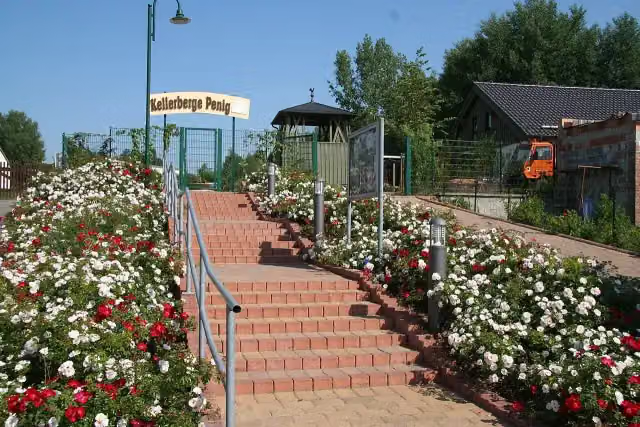 KellerbergeAttraction · 418 m from the route
- 21
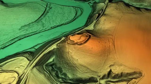 Burgstall WechselburgArchaeological site · 420 m from the route
- 22
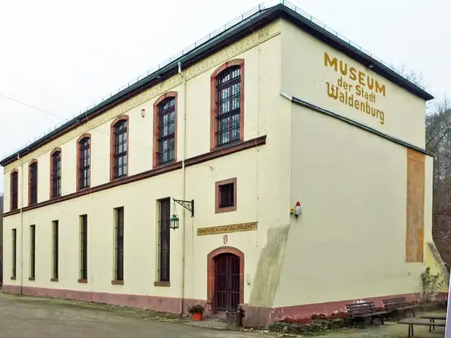 Naturalienkabinett und StadtmuseumMuseum · 430 m from the route
- 23
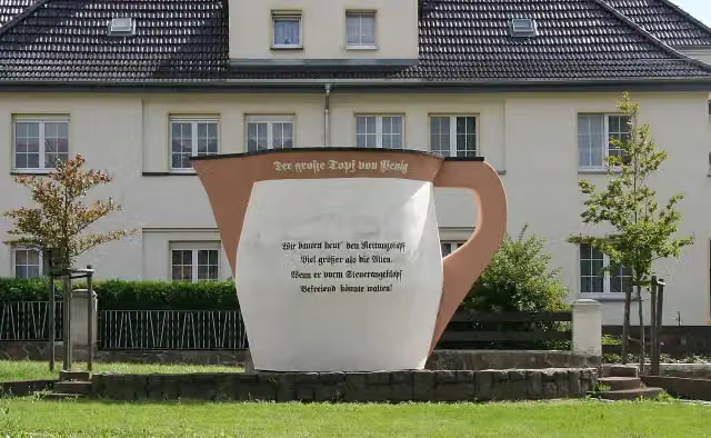 Der große Topf zu PenigAttraction · 542 m from the route
- 24
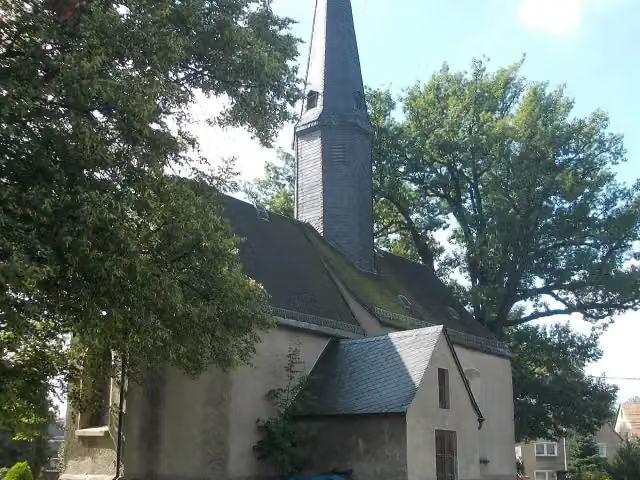 Eiche neben der KircheMonument · 579 m from the route
- 25
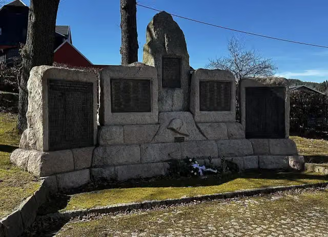 KriegerdenkmalMemorial · 590 m from the route
Explore more
More cycle routes around Schöneck/Vogtl.
More nearby
Frequently asked questions
How long is Mulderadweg [Zwickauer Mulde]?
Mulderadweg [Zwickauer Mulde] is 157.5 km long. Allow ± 10:30 h of riding: 15 km an hour, without breaks.
Is this route a circular ride?
No, the route starts and ends at different spots.
Where does this route start?
The route starts in Schöneck/Vogtl..
How hard is this route?
Hard, with 857 m of climbing.
Are there toilets along this route?
Yes, there are 9 public toilets within 100 m of the route. The longest stretch without a toilet is 32.1 km.
Can you fill up with water along this route?
Yes, there are 6 water fountains and refill points within 100 m of the route.
What is there to see along this route?
Along the way you pass Stein Castle, Schloss Wiesenburg and Alter Gasometer.
Can I download this route as a GPX file?
Yes. Sign in with your Outdoor Pitstop account and choose Download GPX at the top of this page: 10 routes a month for free, unlimited with Pro.
Starting point
More routes from this place
Route data © OpenStreetMap contributors





