 Outdoor Pitstop
Cycle route · Gengenbach · Updated on 14 November 2026
Badischer Weinradweg cycle route
Badischer Weinradweg is a cycle route of 511.4 km from Gengenbach. Along the way you'll find 912 benches, 16 water fountains and refill points, 32 public toilets, 14 bike pumps and 3 honesty boxes and farm vending machines.
i
i
i
The route step by step
From start to finish, with what you pass along the way and the distance in between.
- 511.4 km
- ± 3:25 h per stage
- Moderate per stage
- From A to B
- Regional route
- Colour of the signs
Pick a stage to see the pitstops per kilometre. Along the way you'll find 912 benches, 16 water fountains and refill points, 32 public toilets, 14 bike pumps and 3 honesty boxes and farm vending machines.
Follow these steps in the appThe route with the water points, toilets and sights within 100 m of it.
14 sights along the way
In the order you pass them. With the Outdoor Pitstop app you hear their story on the spot. 6 more along the route are on the map.
i
Photo: Peter Poschadel · Wikimedia Commons · CC BY-SA 4.0View the photo on Wikimedia CommonsViewpoint
i
Photo: SBL1980 · Wikimedia Commons · CC BY-SA 3.0 deView the photo on Wikimedia CommonsCastle
i
Photo: Didivo67 · Wikimedia Commons · CC BY-SA 4.0View the photo on Wikimedia CommonsMuseum
i
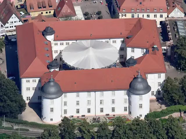
Photo: Carsten Steger · Wikimedia Commons · CC BY-SA 4.0View the photo on Wikimedia CommonsCastle

Museum
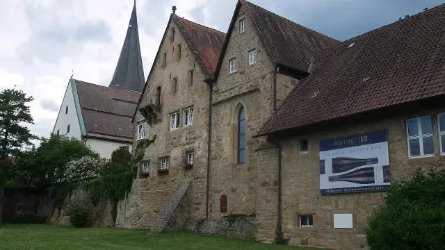
i
Photo: Moleskine · Wikimedia Commons · CC BY-SA 4.0View the photo on Wikimedia CommonsAttraction
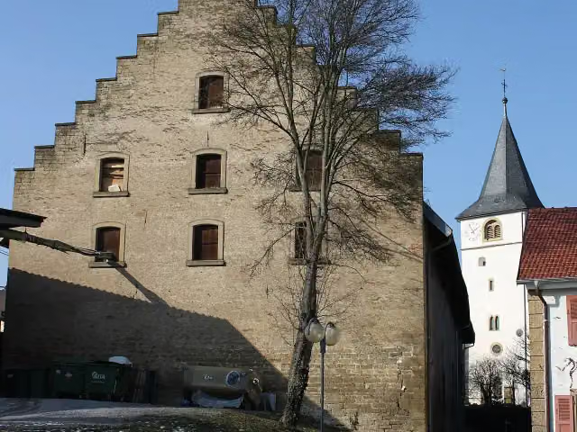
i
Photo: Reinhardhauke · Wikimedia Commons · CC BY-SA 3.0View the photo on Wikimedia CommonsCastle
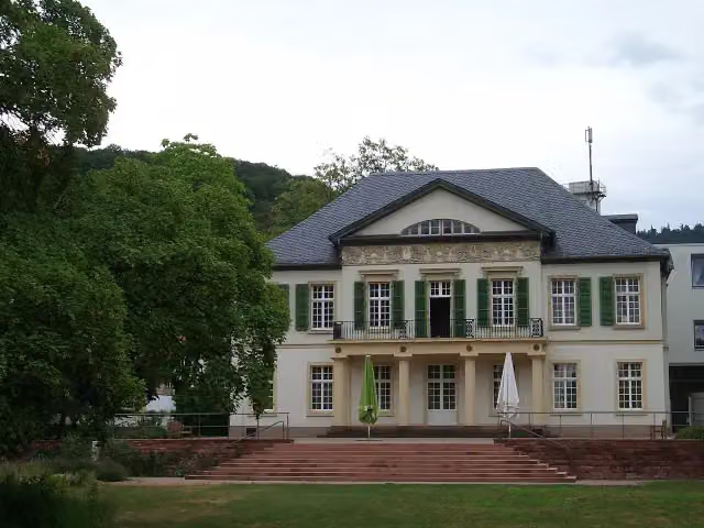
i
Photo: Hartmann Linge at German Wikipedia · Wikimedia Commons · CC BY-SA 4.0View the photo on Wikimedia CommonsCastle
Stages (10)
- 1Etappe 1: Markgräflerland75 km
- 2Etappe 2: Kaiserstuhl/Tuniberg51.3 km
- 3Etappe 2 Variante: Freiburg/Glottertal46.3 km
- 4Etappe 3: Breisgau32.2 km
- 5Etappe 4: Ortenau Süd52.2 km
- 6Etappe 5: Ortenau Nord47.8 km
- 7Etappe 6: Kraichgau Süd67 km
- 8Etappe 7: Kraichgau Nord65.5 km
- 9Etappe 8: Badische Bergstraße49.8 km
- 10Variante: Abkürzung Gengenbach5.1 km
Elevation and terrain
Way types
511.4 km in total- Track: 78.9 km
- Street: 64.5 km
- Road: 29.7 km
- Path: 28.9 km
- Busy road: 13.2 km
- Cycle path: 3.7 km
- Footpath (walk your bike): 919 m
- Steps (carry your bike): 2 stairs
Surfaces
511.4 km in total- Asphalt: 179.1 km
- Paved: 13.4 km
- Gravel: 8.5 km
- Unpaved: 125 m
- Unknown: 18.7 km
About the cycle route Badischer Weinradweg
Updated on 14 November 2026, with data from OpenStreetMap, the AHN and Copernicus.
Where do you cycle?
Badischer Weinradweg is a cycle route of 511.4 km that starts in Gengenbach. It does not end where it starts.
How hard is the route?
There are 2 flights of steps along the way. Allow ± 3:25 h per stage, without breaks. Per stage the level is moderate.
What roads do you cycle on?
The longest part is track (78.9 km), street (64.5 km) and road (29.7 km). Of the surface, 179.1 km asphalt and 13.4 km paved. For 18.7 km the surface is not known.
Pitstops along the way
Within 100 metres of the route there are 912 benches, 16 water fountains and refill points, 32 public toilets, 14 bike pumps and 3 honesty boxes and farm vending machines. The Outdoor Pitstop app navigates you there.
Cycle routes nearby
1Sights nearby
Within 10 km of the route, best known first.
- 1
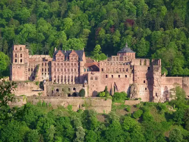 Heidelberg CastleAttraction · 1.6 km from the route
- 2
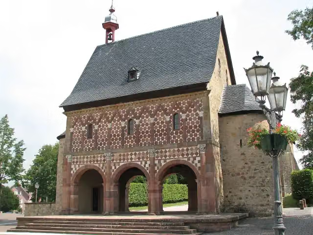 Lorsch AbbeyAttraction · 7.1 km from the route
- 3
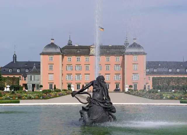 Schloss SchwetzingenCastle · 8.6 km from the route
- 4
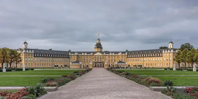 Karlsruhe PalaceCastle · 8.1 km from the route
- 5
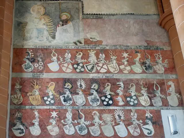 Church of the Holy SpiritAttraction · 1.2 km from the route
- 6
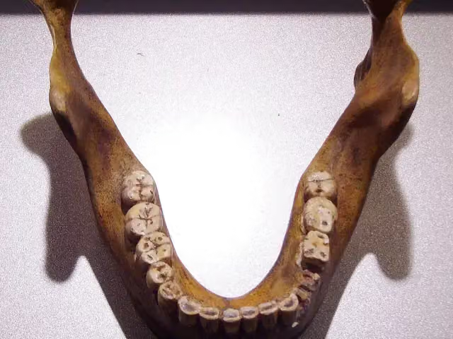 Fundstelle Homo heidelbergensisArchaeological site · 7.4 km from the route
- 7
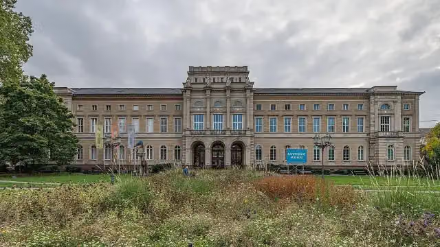 Staatliches Museum für NaturkundeMuseum · 7.4 km from the route
- 8
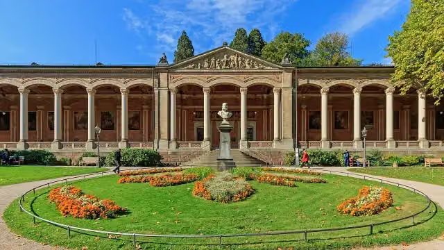 Trinkhalle (Brunnenraum)Attraction · 3.5 km from the route
- 9
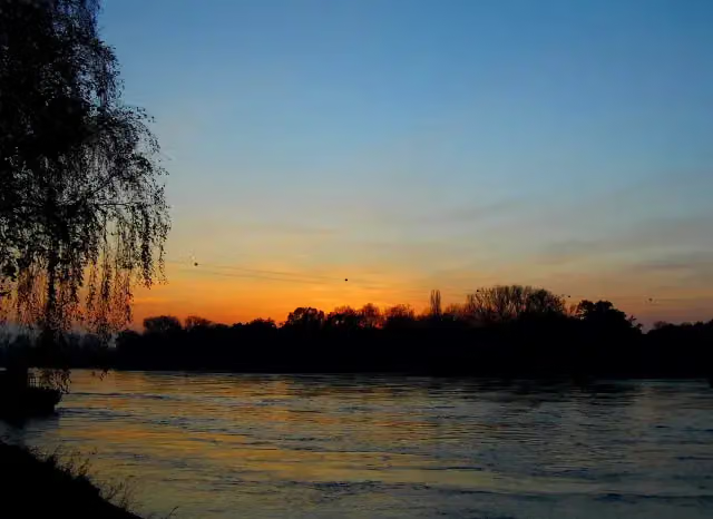 Bac Seltz - Plittersdorf;Rheinfähre Plittersdorf - SeltzAttraction · 8.9 km from the route
- 10
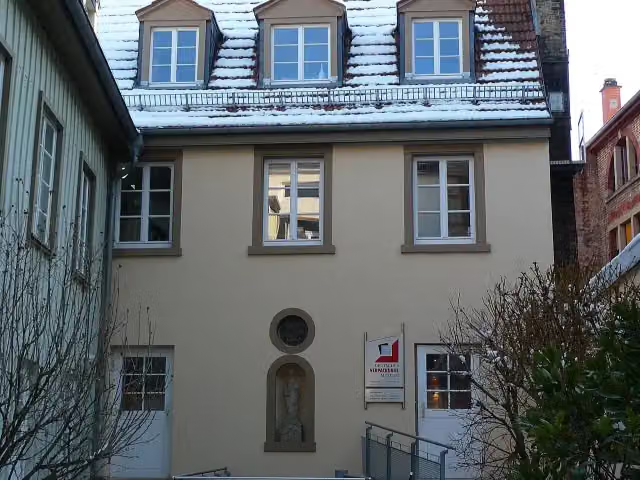 Deutsches VerpackungsmuseumMuseum · 166 m from the route
- 11
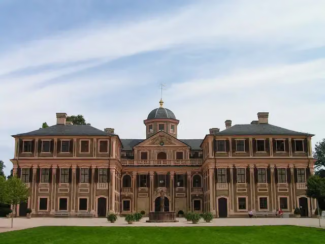 Schloss FavoriteMuseum · 483 m from the route
- 12
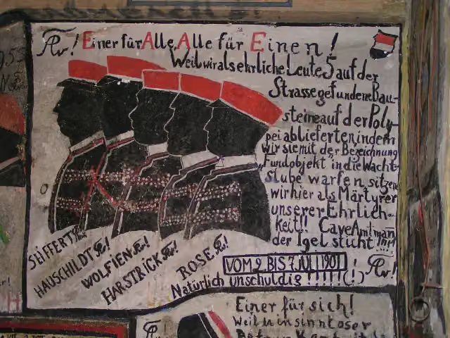 Historischer StudentenkarzerMuseum · 953 m from the route
- 13
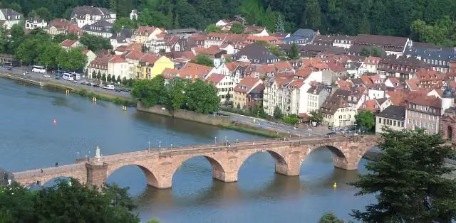 Alte BrückeAttraction · 1.2 km from the route
- 14
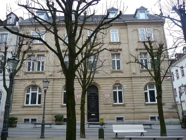 Fabergé-MuseumMuseum · 3.8 km from the route
- 15
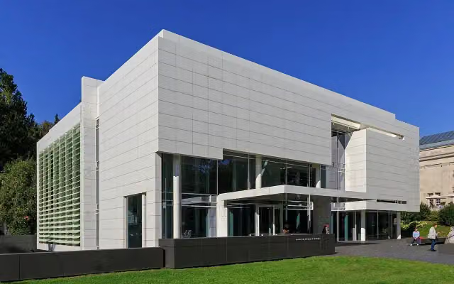 Museum Frieder BurdaMuseum · 3.8 km from the route
- 16
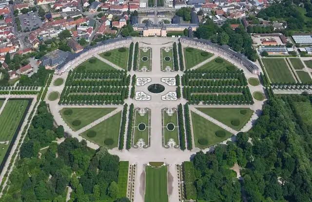 Schwetzingen Palace GardensAttraction · 9.1 km from the route
- 17
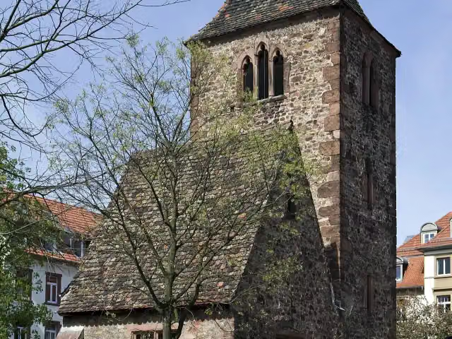 St. Johannes der TäuferRuins · 116 m from the route
- 18
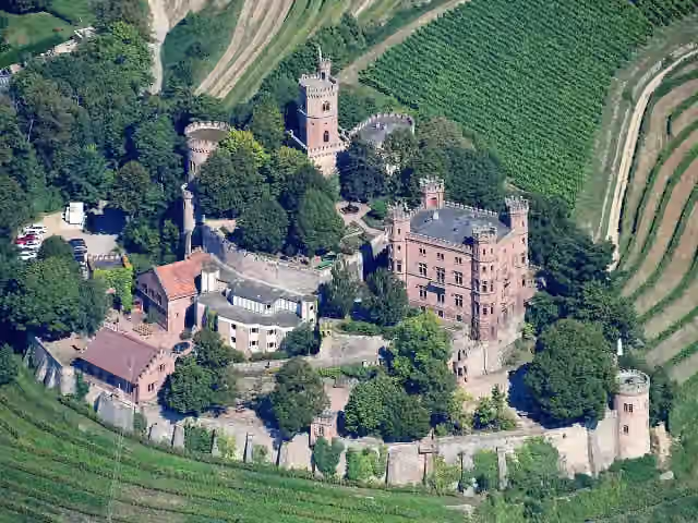 Schloss OrtenbergCastle · 118 m from the route
- 19
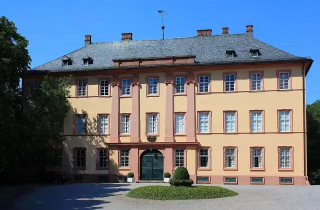 Schloss WiserCastle · 158 m from the route
- 20
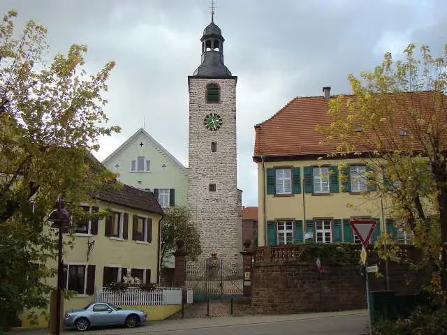 Schloss WieslochCastle · 178 m from the route
- 21
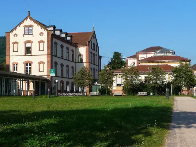 Sammlung PrinzhornMuseum · 262 m from the route
- 22
 KörperweltenMuseum · 270 m from the route
- 23
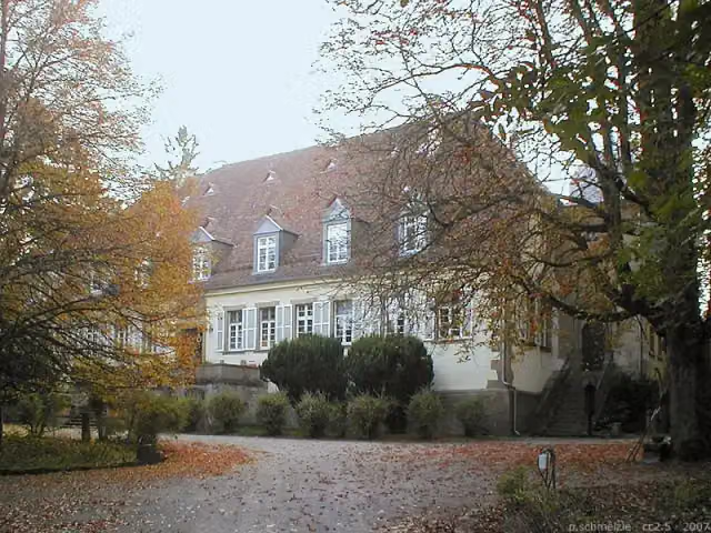 AmalienhofCastle · 294 m from the route
- 24
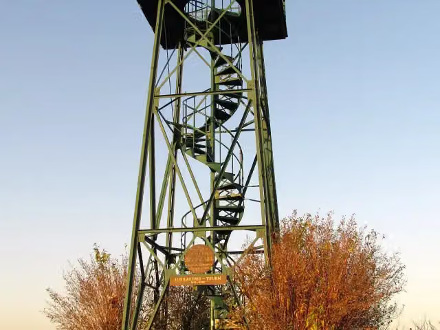 Carl-Netter-TurmObservation tower · 329 m from the route
- 25
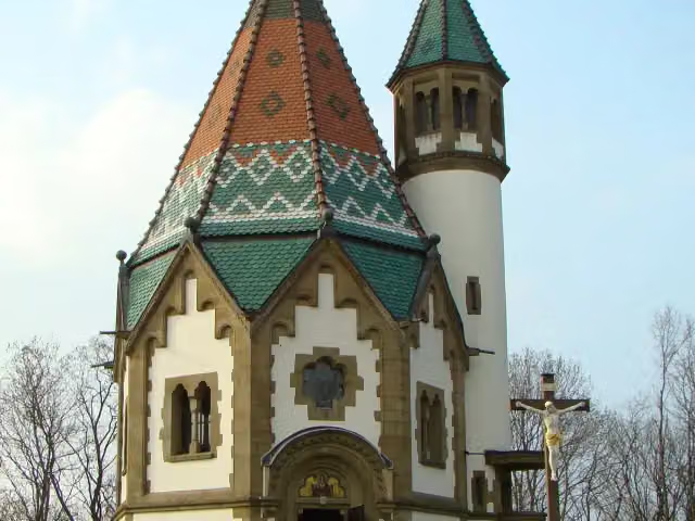 LetzenbergkapelleAttraction · 382 m from the route
Explore more
More cycle routes around Gengenbach
Frequently asked questions
How long is Badischer Weinradweg?
Badischer Weinradweg is 511.4 km long, in 10 parts of 51.1 km on average. Allow ± 3:25 h per part of riding: 15 km an hour, without breaks.
Is this route a circular ride?
No, the route starts and ends at different spots.
Where does this route start?
The route starts in Gengenbach.
How hard is this route?
Moderate per stage.
Are there toilets along this route?
Yes, there are 32 public toilets within 100 m of the route.
Can you fill up with water along this route?
Yes, there are 16 water fountains and refill points within 100 m of the route.
What is there to see along this route?
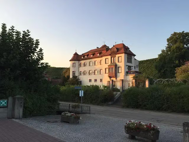
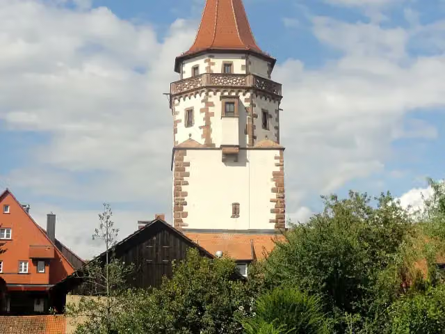
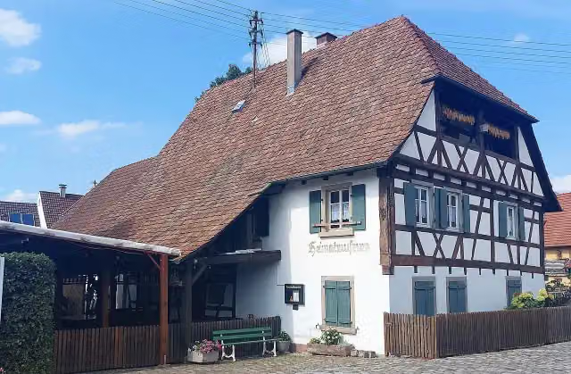
Along the way you pass Niggelturm, Unteres Schloß Neuweier and Heimatmuseum.
Can I download this route as a GPX file?
Yes. Sign in with your Outdoor Pitstop account and choose Download GPX at the top of this page: 10 routes a month for free, unlimited with Pro.
Starting point
More routes from this place
Route data © OpenStreetMap contributors





