 Outdoor Pitstop
Walking route · Woensdrecht · Regional Trail De Brabantse Wal - 6 · Updated on 5 November 2026
Streekpad De Brabantse Wal - 6 walk
Streekpad De Brabantse Wal - 6 is a walk of 15.9 km from Woensdrecht. Along the way you'll find 9 benches and picnic tables and 1 water point.
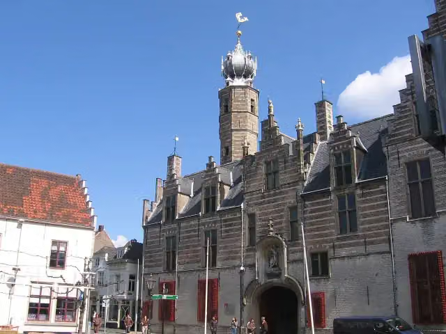
i
The route step by step
From start to finish, with what you pass along the way and the distance in between.
- 15.9 km
- ± 3:40 h
- ↑ 50 m · ↓ 65 m
- Moderate
- From A to B
- Regional route
Start in Woensdrecht
0 km3.4 km · 7 benches
Water point
3.4 km12.6 km · 2 benches

Finish
15.9 kmAt the finish: Markiezenhof.
No public toilet along the wayThere is no public toilet within 100 m of the route. Go before you start, or find one a bit further away in the app.
The route with the pitstops and sights within 100 m of it.
1 sight along the way
In the order you pass them. With the Outdoor Pitstop app you hear their story on the spot.
Markiezenhof
Museum · after 15.9 km
Elevation and terrain
- Up
- ↑ 50 m
- Down
- ↓ 65 m
- Highest point
- 22 m
- Lowest point
- 1 m
- 1 flight of stairs
Elevation from AHN (Rijkswaterstaat), smoothed.
Way types
15.9 km in total- Road: 4.3 km
- Track: 4.1 km
- Cycleway: 2.6 km
- Path: 2.3 km
- Footpath: 1.2 km
- Street: 1.2 km
- Stairs: 1 flight of stairs
- Unknown: 200 m
Surfaces
15.9 km in total- Unpaved: 3.7 km
- Gravel: 3.3 km
- Paved: 3 km
- Asphalt: 425 m
- Natural: 375 m
- Unknown: 5.1 km
About the walking route Streekpad De Brabantse Wal - 6
Updated on 5 November 2026, with data from OpenStreetMap and the AHN.
Where do you walk?
Streekpad De Brabantse Wal - 6 is a walking route of 15.9 km that starts in Woensdrecht. It does not end where it starts. You start in Hoogerheide and finish in Bergen op Zoom. Along the way you pass Markiezenhof (after 15.9 km).
How hard is the route?
You climb 50 m in total and descend 65 m. There is 1 flight of steps along the way. Allow ± 3:40 h, without breaks. The level is moderate.
What paths do you walk on?
The longest part is road (4.3 km), track (4.1 km) and cycleway (2.6 km). Of the surface, 3.7 km unpaved and 3.3 km gravel. For 5.1 km the surface is not known.
Pitstops along the way
Within 100 metres of the route there are 9 benches and picnic tables and 1 water point. You can fill your bottle after 3.4 km. There is no public toilet within 100 metres of the route. The Outdoor Pitstop app navigates you there.
Part of Streekpad De Brabantse Wal (Regional Trail De Brabantse Wal)
Website of the routeWalks nearby
6- Streekpad De Brabantse Wal - 5Hard · From A to B21.2 km
- Via Brabantica, Bergen-op-Zoom - KapellenHard · From A to B22.3 km
- Wandelroute Canadese Bevrijders etappe 1: Woensdrecht-Bergen op ZoomHard · From A to B25.5 km
- Wandelpad PauwEasy · Circular walk5 km
- Oosterscheldepad - 12Moderate · From A to B10.8 km
- Wandelpad UilEasy · Circular walk2.1 km
Sights nearby
Within 10 km of the route, best known first.
- 1
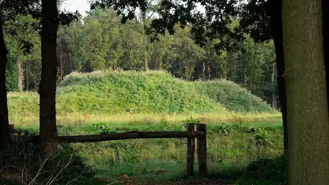 Fort De RoovereFort · 3.8 km from the route
- 2
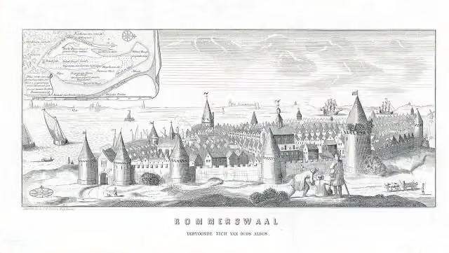 ReimerswaalArchaeological site · 9 km from the route
- 3
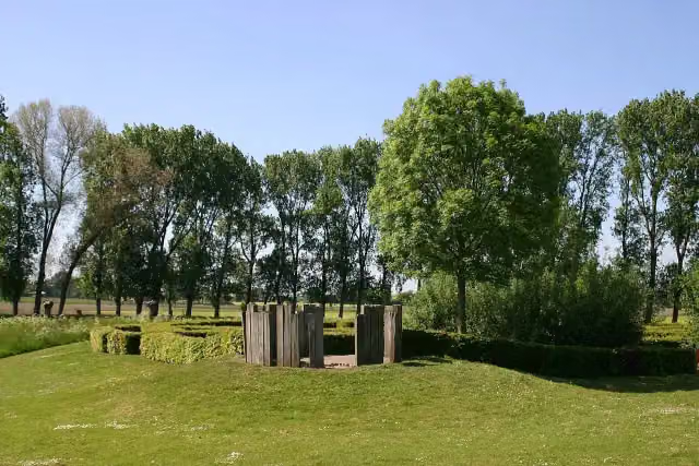 Kasteel van WouwAttraction · 7.3 km from the route
- 4
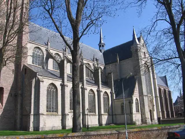 Grote- of Onze Lieve VrouwekerkAttraction · 6 km from the route
- 5
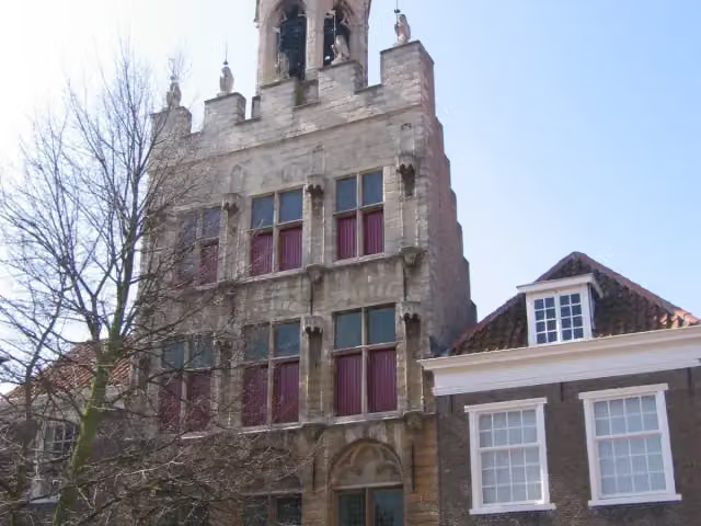 Stadhuis van TholenAttraction · 5.9 km from the route
- 6
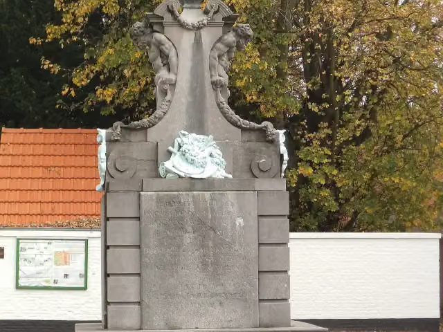 Gedenkteken Jacob JordaensMemorial · 8.7 km from the route
- 7
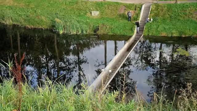 Moses BridgeAttraction · 3.8 km from the route
- 8
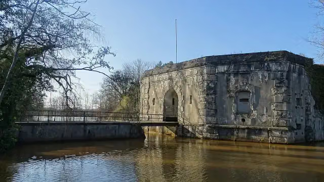 Fort van StabroekFort · 9 km from the route
- 9
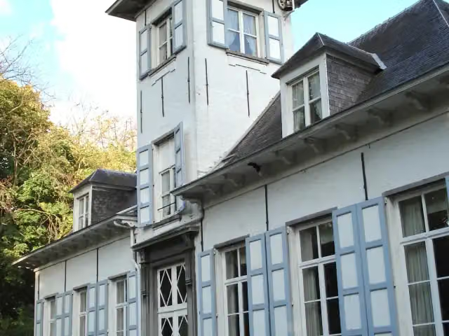 Kasteel ReigershofCastle · 9.2 km from the route
- 10Uitkijktoren KraaijenbergObservation tower · 314 m from the route
- 11KraaijenbergMuseum · 332 m from the route
- 12Uitzichttoren PompejusObservation tower · 3.9 km from the route
- 13WilhelmietenmuseumMuseum · 4.1 km from the route
- 14Vesting TholenCastle · 6 km from the route
- 15De StapperObservation tower · 8.6 km from the route
- 16Kasteel RavenhofAttraction · 8.7 km from the route
- 17Schans van SmoutakkerFort · 9.8 km from the route
Explore more
Frequently asked questions
How long is Streekpad De Brabantse Wal - 6?
Streekpad De Brabantse Wal - 6 is 15.9 km long. Allow ± 3:40 h of walking: 4.5 km an hour and 10 minutes more per 100 metres of climbing, without breaks.
Is this route a circular walk?
No, the route runs from Hoogerheide to Bergen op Zoom.
Where does this route start?
The route starts in Woensdrecht.
How hard is this route?
Moderate, with 50 m of climbing.
Are there toilets along this route?
No, there is no public toilet within 100 m of the route. Go before you start.
Can you fill up with water along this route?
Yes, there are 1 water point within 100 m of the route.
What is there to see along this route?
Along the way you pass Markiezenhof.
Starting point
More routes from this place
Route data © OpenStreetMap contributors





