 Outdoor Pitstop
Walking route · Nettetal · Updated on 14 November 2026
X3 Rhein-Netteseen-Weg walk
X3 Rhein-Netteseen-Weg is a walk of 110.6 km from Nettetal. Along the way you'll find 336 benches, 10 public toilets, 1 bike pump and 1 honesty box.
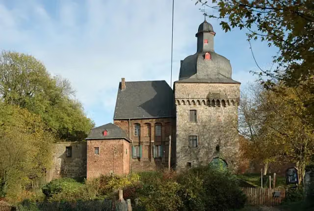
i
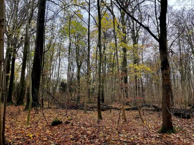
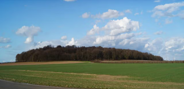
i
The route step by step
From start to finish, with what you pass along the way and the distance in between.
- 110.6 km
- ± 25:10 h
- ↑ 376 m · ↓ 388 m
- Hard
- From A to B
- Regional route
Start in Nettetal
0 km3.1 km · 15 benches

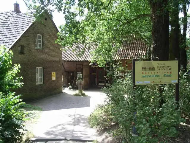
Textilmuseum Die Scheune
3.1 kmPublic toilet and bike pump
1.8 km · 18 benches
4 public toilets
4.8 km2.4 km · 19 benches
Honesty box
7.2 km13.2 km · 10 benches
Bismarckturm Viersen
20.5 kmAttraction
865 m · 6 benches
Kaisermühle
21.3 kmAttraction
9 km · 28 benches
Hochkreuz Ehrenfriedhof Mönchengladbach
30.3 kmMemorial
16.2 km · 23 benches
Public toilet
46.6 km3.1 km · 15 benches
Städtisches Museum Schloss Rheydt
49.6 kmPublic toilet
213 m · 13 benches
Schloss Rheydt
49.8 kmAttraction
7.8 km · 21 benches
Sandbauernhof and 1 more
57.7 kmMühlenturm
401 m · bench
Schloss Liedberg
58.1 kmAttraction
1.4 km · 2 benches
Haus Fürth
59.4 kmAttraction
5.4 km · 10 benches
Dycker Mühle
64.8 kmAttraction
6.7 km · 4 benches
Burg Wevelinghoven and 1 more
71.5 kmGedenktafel Florenz von Wevelinghofen / Münze "Wewelinghöfer"
248 m
St. Martinus and 1 more
71.7 kmKatholisches Pfarrhaus
4.4 km · 20 benches
Hülchrather Knusperhäuschen
76.2 kmAttraction
199 m · 6 benches
Sebastianuskapelle and 2 more
76.4 kmSynagoge Hülchrath and Katholisches Pfarrhaus
6.3 km · 21 benches
St. Odilia
82.7 kmAttraction
9.7 km · 25 benches
Public toilet
92.4 km16.6 km · 27 benches
Schloss Friedestrom
109 kmAttraction
347 m · 20 benches
Wegekreuz Schmitz and 5 more
109.4 kmRestaurant Pizzeria Mediterran, Zum Feldtor, Katholische Kirchengemeinde Sankt Michael Büro Sankt Martinus, St. Martinus and Der Steinklopfer
218 m · 7 benches
Kreismuseum Zons and 2 more
109.6 kmWood Castle, Pfefferbüchse and public toilet
186 m · 19 benches
Zum St. Peter and 4 more
109.8 kmTorschenke, Imkerei Speer, Zollhaus, Maria von den Engeln and public toilet
827 m · 6 benches
Finish
110.6 km
Longest stretch without a toilet: 42.8 kmBetween 49.6 km and 92.4 km there is no public toilet within 100 m of the route.
The route with the pitstops and sights within 100 m of it.
35 sights along the way
In the order you pass them. With the Outdoor Pitstop app you hear their story on the spot. 27 more along the route are on the map.
i
Photo: Bodoklecksel · Wikimedia Commons · CC BY-SA 3.0View the photo on Wikimedia CommonsMuseum · after 3.2 km

Attraction · after 20.5 km
Attraction · after 21.3 km
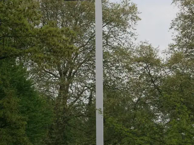
i
Photo: Käthe u. Bernd Limburg, (http://www.limburg-bernd.de) · Wikimedia Commons · CC BY-SA 3.0 deView the photo on Wikimedia CommonsMemorial · after 30.3 km
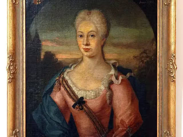
i
Photo: Anne Offermanns · Wikimedia Commons · CC BY-SA 4.0View the photo on Wikimedia CommonsMuseum · after 49.7 km
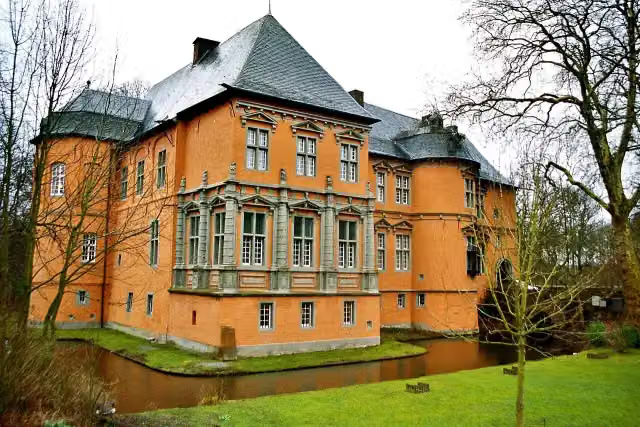
i
Photo: Heribert Pohl --- Thanks for half a million clicks! from Germering bei München, Bayern · Wikimedia Commons · CC BY-SA 2.0View the photo on Wikimedia CommonsAttraction · after 49.8 km
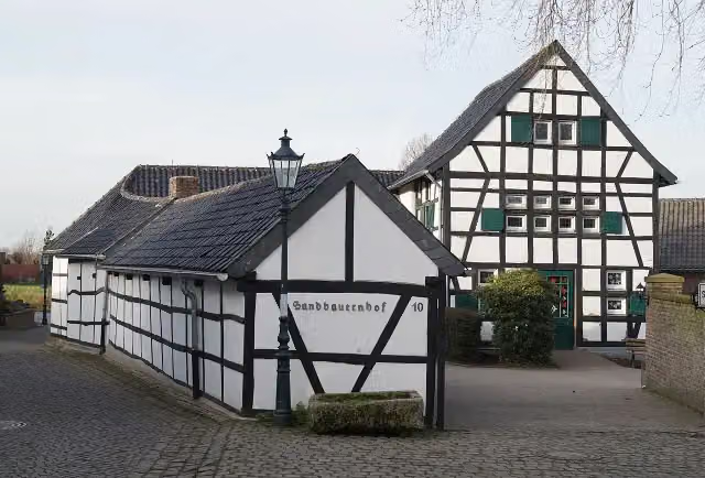
i
Photo: CaS2000 · Wikimedia Commons · CC BY-SA 3.0View the photo on Wikimedia CommonsAttraction · after 57.7 km
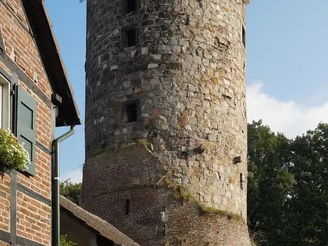
i
Photo: CaS2000 · Wikimedia Commons · CC BY-SA 4.0View the photo on Wikimedia CommonsAttraction · after 57.8 km
Elevation and terrain
- Up
- ↑ 376 m
- Down
- ↓ 388 m
- Highest point
- 104 m
- Lowest point
- 36 m
- 5-10% slope · 1.1 km
- 5 stairs
Elevation from Copernicus GLO-30 (European Union and ESA), smoothed.
produced using Copernicus WorldDEM-30 © DLR e.V. 2010-2014 and © Airbus Defence and Space GmbH 2014-2018 provided under COPERNICUS by the European Union and ESA; all rights reserved
Way types
110.6 km in total- Track: 57.5 km
- Path: 19.5 km
- Street: 19.1 km
- Road: 9.6 km
- Footpath: 3.2 km
- Busy road: 1.1 km
- Stairs: 5 stairs
Surfaces
110.6 km in total- Asphalt: 33.9 km
- Gravel: 31.7 km
- Unpaved: 9.6 km
- Paved: 7.8 km
- Natural: 700 m
- Unknown: 26.6 km
About the walking route X3 Rhein-Netteseen-Weg
Updated on 14 November 2026, with data from OpenStreetMap, the AHN and Copernicus.
Where do you walk?
X3 Rhein-Netteseen-Weg is a walking route of 110.6 km that starts in Nettetal. It does not end where it starts. Along the way you pass Textilmuseum Die Scheune (after 3.2 km), Bismarckturm Viersen (after 20.5 km) and Kaisermühle (after 21.3 km).
How hard is the route?
You climb 376 m in total and descend 388 m. There are 5 flights of steps along the way. Allow ± 25:10 h, without breaks. The level is hard.
What paths do you walk on?
The longest part is track (57.5 km), path (19.5 km) and street (19.1 km). Of the surface, 33.9 km asphalt and 31.7 km gravel. For 26.6 km the surface is not known.
Pitstops along the way
Within 100 metres of the route there are 336 benches, 10 public toilets, 1 bike pump and 1 honesty box. The longest stretch without a toilet is 42.8 km. The Outdoor Pitstop app navigates you there.
Walks nearby
6- X9 Rhein-Maas-WegHard · From A to B34.4 km
- Europäischer Fernwanderweg E8, Nordrhein-WestfalenHard · From A to B469.7 km
- X1 GrenzlandwegHard · From A to B202.5 km
- Maas-Niederrheinpad etappe 11Hard · From A to B20.2 km
- Maas-Niederrheinpad etappe 22Easy · From A to B4.8 km
- NS-wandeling Krickenbecker SeenEasy · From A to B4.7 km
Sights nearby
Within 10 km of the route, best known first.
- 1
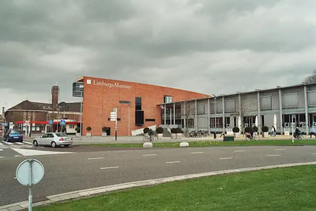 Limburgs MuseumMuseum · 4.3 km from the route
- 2
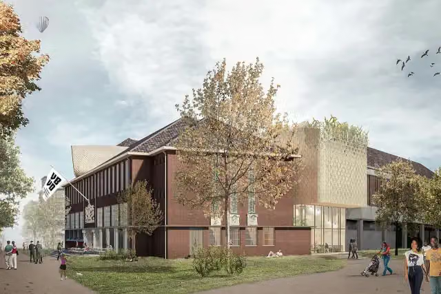 Museum van Bommel van DamMuseum · 4.4 km from the route
- 3
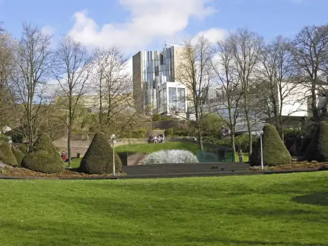 Museum AbteibergMuseum · 1.9 km from the route
- 4
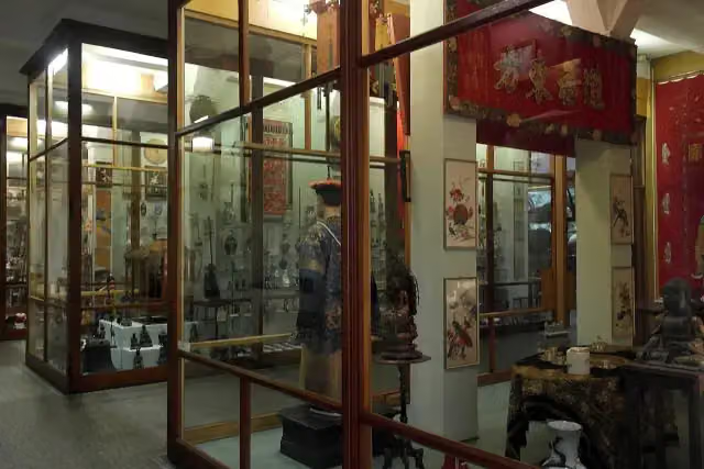 Missiemuseum SteylMuseum · 7.7 km from the route
- 5
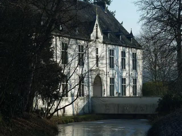 De BercktCastle · 8.1 km from the route
- 6
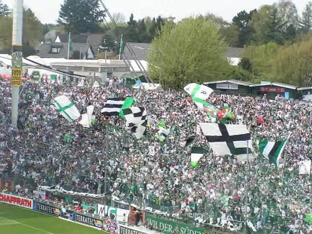 Bökelberg-StadionMemorial · 597 m from the route
- 7
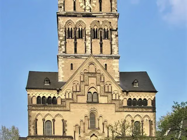 Quirinus-MünsterAttraction · 8.3 km from the route
- 8
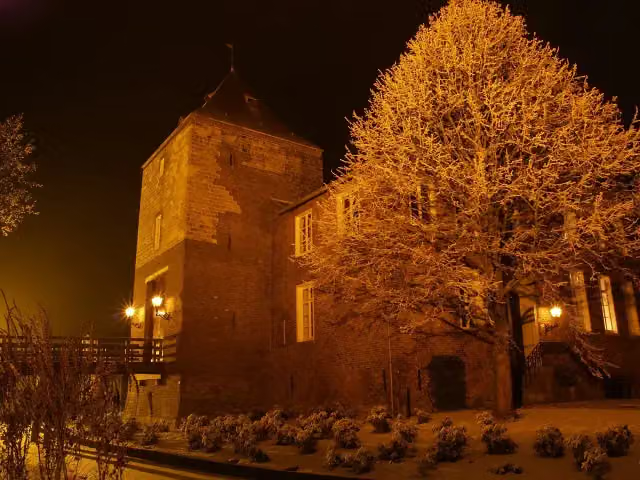 Kasteel D'ErpCastle · 9.2 km from the route
- 9
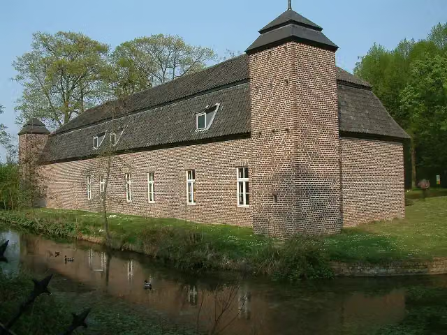 Keramiekcentrum Tiendschuur TegelenMuseum · 6.7 km from the route
- 10
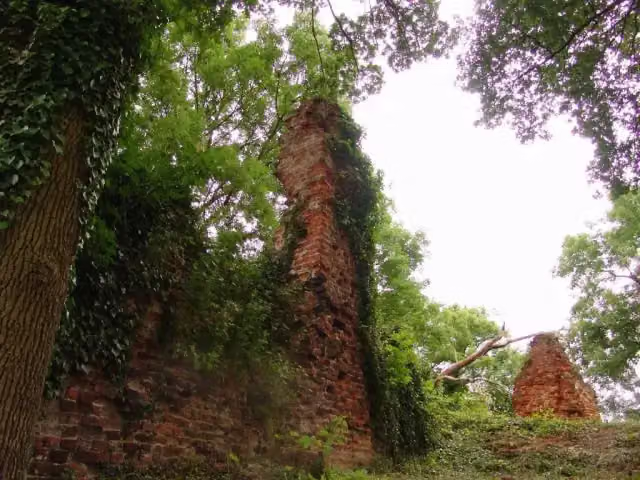 Gebroken SlotCastle · 8.4 km from the route
- 11
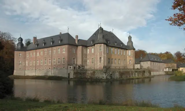 Schloss DyckMuseum · 387 m from the route
- 12
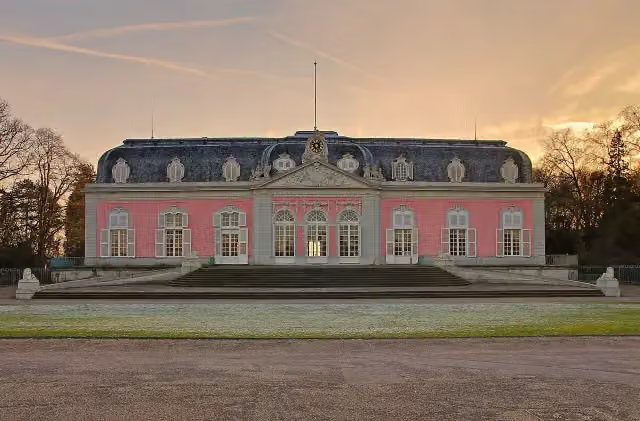 Schloss BenrathCastle · 4.2 km from the route
- 13
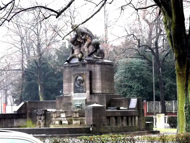 Albert-Mooren-BrunnenAttraction · 9.1 km from the route
- 14
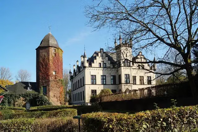 Haus HorstCastle · 98 m from the route
- 15
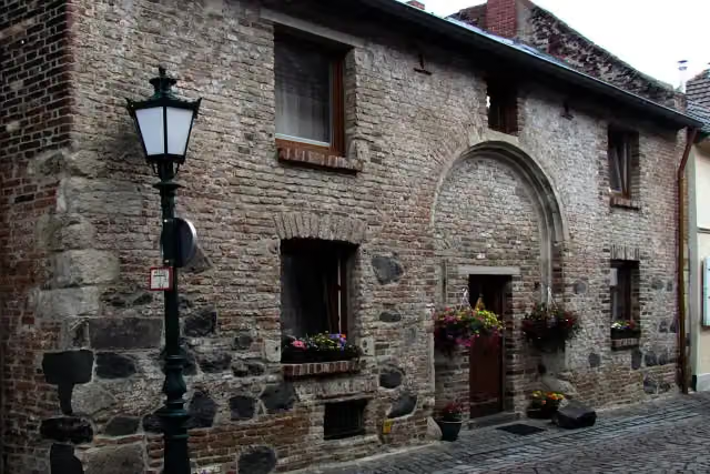 AttractionAttraction · 99 m from the route
- 16
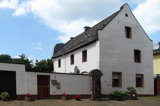 AttractionAttraction · 104 m from the route
- 17
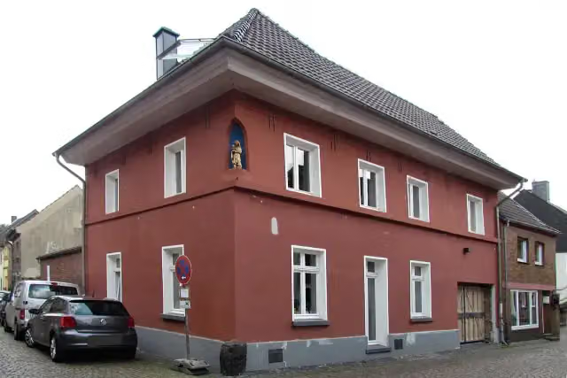 AttractionAttraction · 111 m from the route
- 18
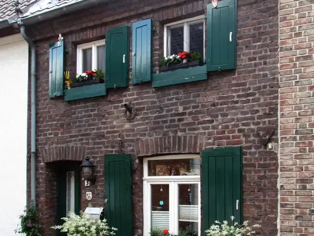 AttractionAttraction · 112 m from the route
- 19
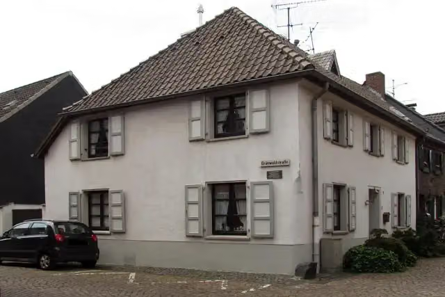 AttractionAttraction · 113 m from the route
- 20
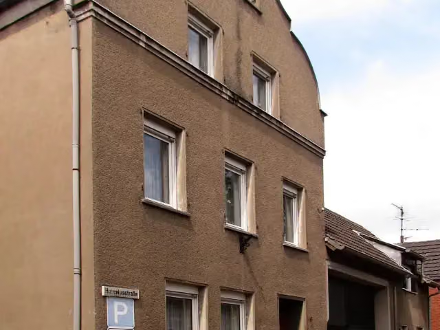 AttractionAttraction · 127 m from the route
- 21
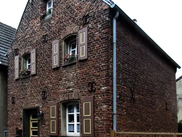 AttractionAttraction · 129 m from the route
- 22
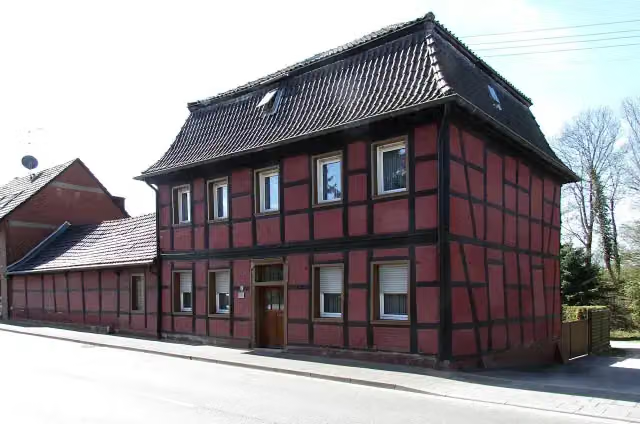 AttractionAttraction · 131 m from the route
- 23
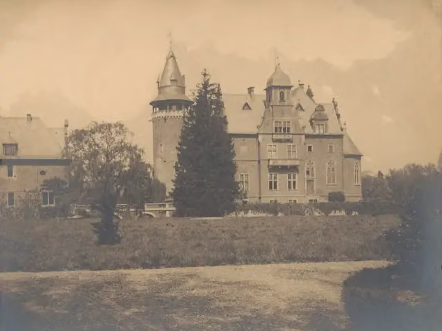 Schloss KrickenbeckCastle · 136 m from the route
- 24
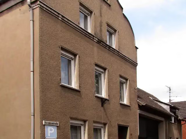 AttractionAttraction · 138 m from the route
- 25
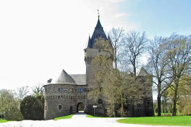 Schloss HülchrathAttraction · 138 m from the route
Explore more
Frequently asked questions
How long is X3 Rhein-Netteseen-Weg?
X3 Rhein-Netteseen-Weg is 110.6 km long. Allow ± 25:10 h of walking: 4.5 km an hour and 10 minutes more per 100 metres of climbing, without breaks.
Is this route a circular walk?
No, the route starts and ends at different spots.
Where does this route start?
The route starts in Nettetal.
How hard is this route?
Hard, with 376 m of climbing.
Are there toilets along this route?
Yes, there are 10 public toilets within 100 m of the route. The longest stretch without a toilet is 42.8 km.
Can you fill up with water along this route?
No, there is no water point within 100 m of the route. Bring enough water.
What is there to see along this route?
Along the way you pass Textilmuseum Die Scheune, Bismarckturm Viersen and Kaisermühle.
Can I download this route as a GPX file?
Yes. Sign in with your Outdoor Pitstop account and choose Download GPX at the top of this page: 10 routes a month for free, unlimited with Pro.
Starting point
More routes from this place
Route data © OpenStreetMap contributors





