 Outdoor Pitstop
Walking route · Neubauer Forst Nord · Updated on 14 November 2026
Mainweg walk
Mainweg is a walk of 573.4 km from Neubauer Forst Nord. Along the way you'll find 1,869 benches, 15 water fountains and refill points, 85 public toilets, 20 bike pumps and 1 honesty box.
i
i
i
The route step by step
From start to finish, with what you pass along the way and the distance in between.
- 573.4 km
- ± 14:00 h per stage
- ↑ 7,706 m · ↓ 8,477 m
- Hard per stage
- From A to B
- National route
Pick a stage to see the pitstops per kilometre. Along the way you'll find 1,869 benches, 15 water fountains and refill points, 85 public toilets, 20 bike pumps and 1 honesty box.
Follow these steps in the appThe route with the water points, toilets and sights within 100 m of it.
58 sights along the way
In the order you pass them. With the Outdoor Pitstop app you hear their story on the spot. 50 more along the route are on the map.
i
Photo: Lucorient · Wikimedia Commons · CC BY-SA 4.0View the photo on Wikimedia CommonsMemorial

Archaeological site
i
Photo: Wikimedia Commons · Wikimedia Commons · CC BY-SA 3.0View the photo on Wikimedia CommonsMuseum
Museum
Museum
 Story
i
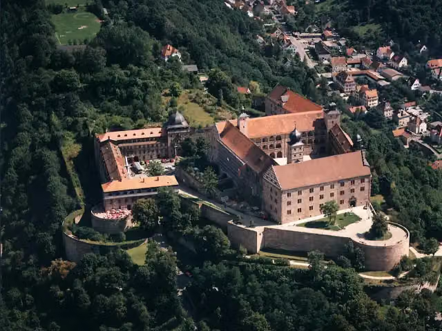
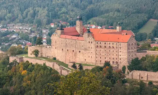
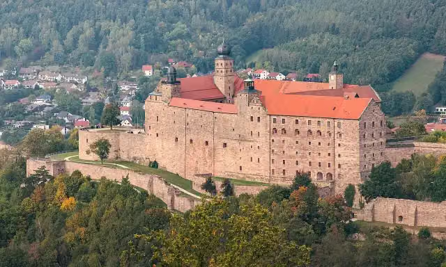
Photo: File:Plassenburg, Kulmbach from Rehturm.jpg: El Grafo derivative work: DYVER · Wikimedia Commons · CC BY-SA 4.0View the photo on Wikimedia CommonsPlassenburg
Attraction
i
Photo: File:Plassenburg, Kulmbach from Rehturm.jpg: El Grafo derivative work: DYVER · Wikimedia Commons · CC BY-SA 4.0View the photo on Wikimedia CommonsMuseum
i
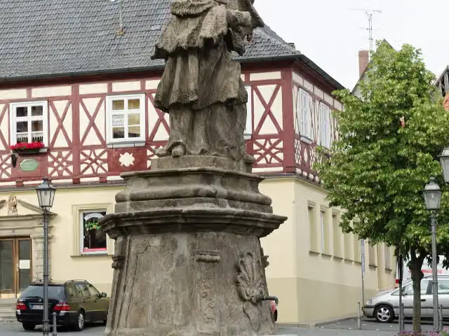
Photo: Tilman2007 · Wikimedia Commons · CC BY-SA 3.0View the photo on Wikimedia CommonsMemorial
Stages (10)
Elevation and terrain
- Up
- ↑ 7,706 m
- Down
- ↓ 8,477 m
- Highest point
- 898 m
- Lowest point
- 87 m
- 5-10% slope · 90.3 km
- 10-15% slope · 20.8 km
- 15-20% slope · 2.9 km
- 20% slope or steeper · 636 m
- 69 stairs
Elevation from Copernicus GLO-30 (European Union and ESA), smoothed.
produced using Copernicus WorldDEM-30 © DLR e.V. 2010-2014 and © Airbus Defence and Space GmbH 2014-2018 provided under COPERNICUS by the European Union and ESA; all rights reserved
Way types
573.4 km in total- Track: 332 km
- Path: 97.3 km
- Street: 78.1 km
- Road: 26.8 km
- Footpath: 22.8 km
- Busy road: 7.3 km
- Stairs: 69 stairs
- Cycleway: 2.7 km
- Unknown: 150 m
Surfaces
573.4 km in total- Gravel: 175 km
- Asphalt: 171.7 km
- Unpaved: 60.2 km
- Paved: 37.6 km
- Natural: 16.3 km
- Unknown: 111 km
About the walking route Mainweg
Updated on 14 November 2026, with data from OpenStreetMap, the AHN and Copernicus.
Where do you walk?
Mainweg is a walking route of 573.4 km that starts in Neubauer Forst Nord. It does not end where it starts.
How hard is the route?
You climb 7,706 m in total and descend 8,477 m. There are 69 flights of steps along the way. Allow ± 14:00 h per stage, without breaks. Per stage the level is hard.
What paths do you walk on?
The longest part is track (332 km), path (97.3 km) and street (78.1 km). Of the surface, 175 km gravel and 171.7 km asphalt. For 111 km the surface is not known.
Pitstops along the way
Within 100 metres of the route there are 1,869 benches, 15 water fountains and refill points, 85 public toilets, 20 bike pumps and 1 honesty box. The Outdoor Pitstop app navigates you there.
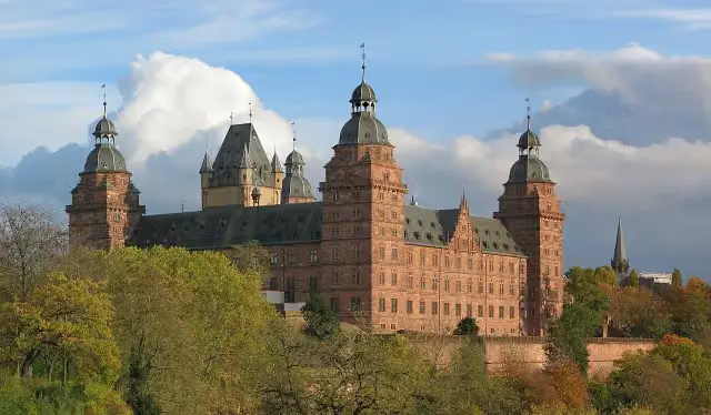
The Mainweg (Main Trail) is a long-distance trail of officially 490 km, 573 km in our data, from the source of the White Main on the Ochsenkopf in the Fichtel Mountains to the mouth of the Main at Mainz. It runs via Bad Berneck, Kulmbach, Bad Staffelstein, Würzburg, Karlstadt, Lohr am Main, Wertheim and Aschaffenburg, through the Franconian Forest, the Hassberge, the Steigerwald and the Spessart. Sights on the way include the Plassenburg, Banz Abbey and Johannisburg Palace. We know of 85 toilets but only 15 drinking water points. Over half is on forest and farm tracks. The trail opened in 1972.
Source: Wikipedia (CC BY-SA)
Walks nearby
6- Jean-Paul-WegHard · From A to B182.7 km
- QuellenwegHard · From A to B52 km
- Wellness-Wander-Weg FichtelgebirgeHard · From A to B39.6 km
- Europäischer Fernwanderweg E6, Deutschland, FichtelgebirgeHard · From A to B79.6 km
- MittelwegHard · From A to B64.8 km
- Fränkischer Gebirgsweg Teil 3Hard · From A to B73.7 km
Sights nearby
Within 10 km of the route, best known first.
- 1
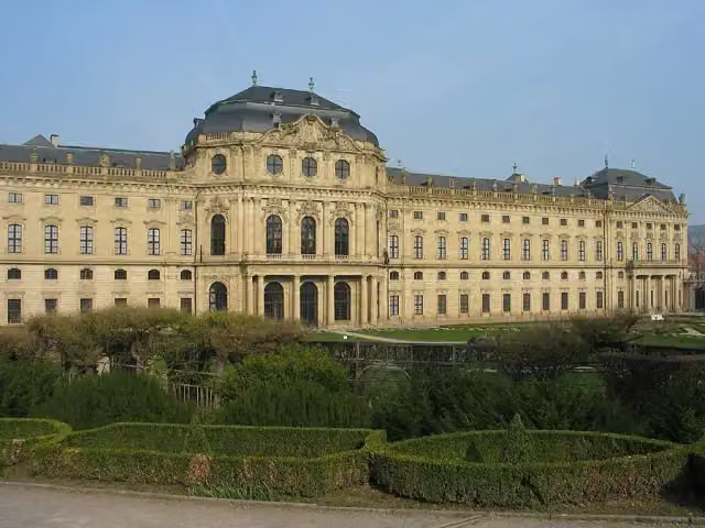 Würzburg ResidenceAttraction · 841 m from the route
- 2
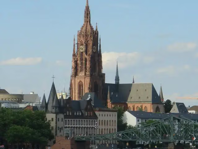 Imperial Cathedral of Saint BartholomewAttraction · 510 m from the route
- 3
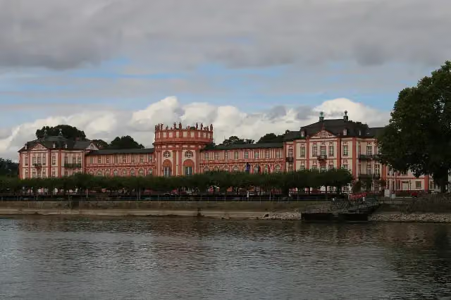 Biebrich PalaceAttraction · 6.5 km from the route
- 4
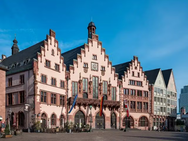 RömerAttraction · 448 m from the route
- 5
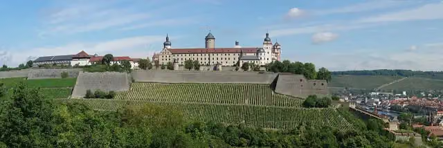 Marienberg FortressAttraction · 512 m from the route
- 6
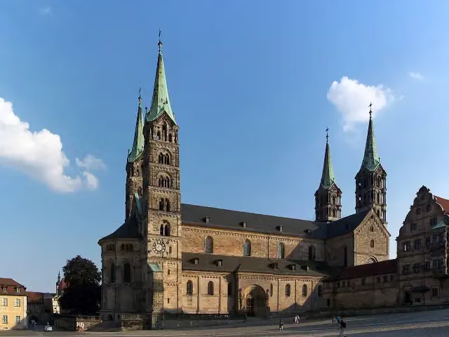 Bamberg CathedralAttraction · 6.4 km from the route
- 7
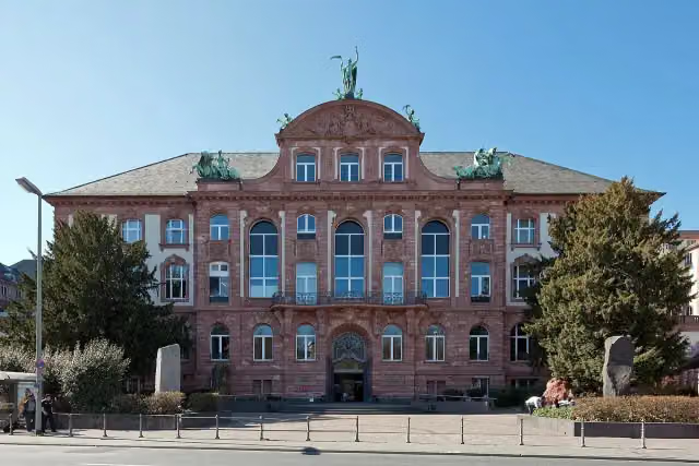 Senckenberg NaturmuseumMuseum · 2.2 km from the route
- 8
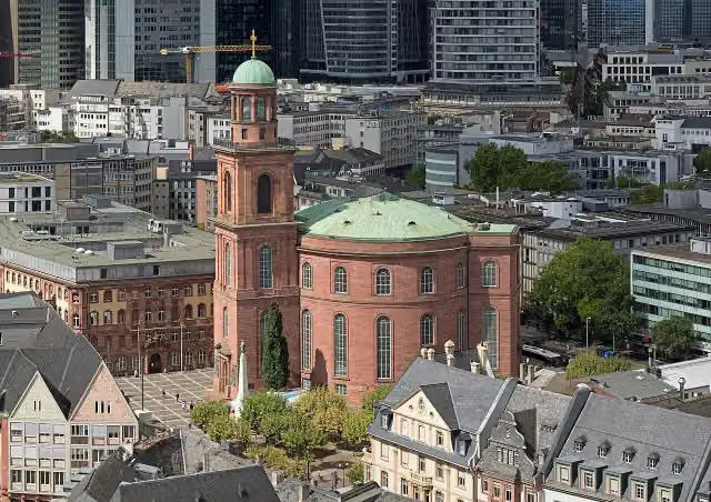 St. Paul's ChurchAttraction · 539 m from the route
- 9
 Alte OperAttraction · 1.2 km from the route
- 10
 HauptwacheAttraction · 825 m from the route
- 11
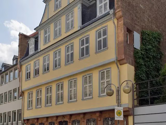 Goethe HouseAttraction · 590 m from the route
- 12
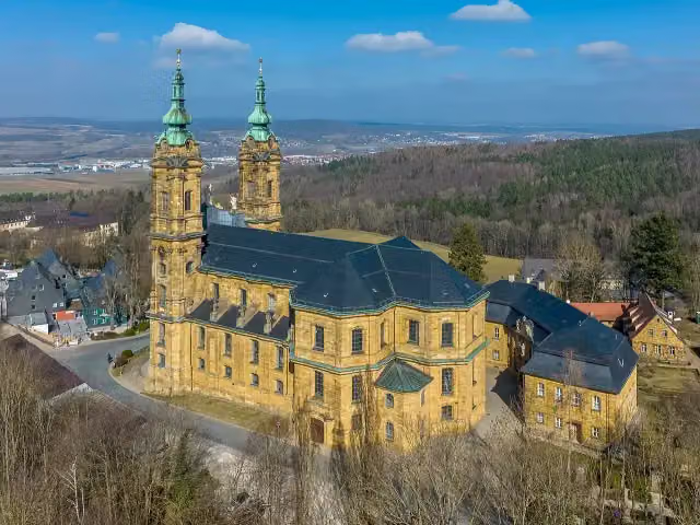 Basilika VierzehnheiligenAttraction · 686 m from the route
- 13
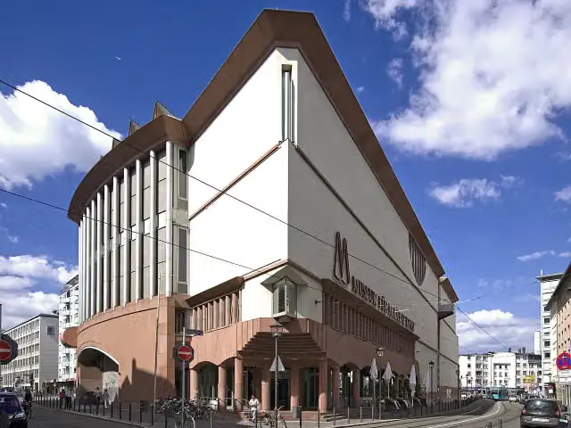 Museum MMKMuseum · 642 m from the route
- 14
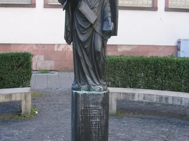 Frankfurter EngelMemorial · 1.2 km from the route
- 15
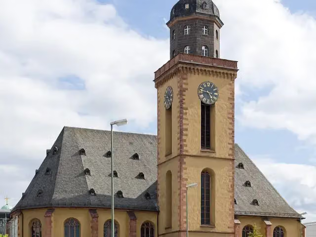 St. Catherine's ChurchAttraction · 780 m from the route
- 16
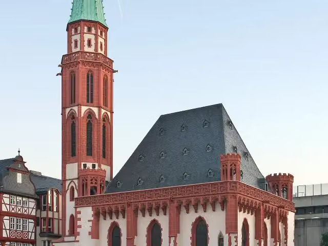 Old St. Nicholas ChurchAttraction · 390 m from the route
- 17
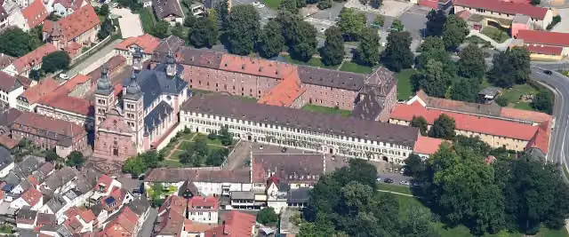 Abbey ChurchAttraction · 7 km from the route
- 18
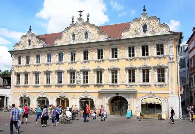 FalkenhausAttraction · 315 m from the route
- 19
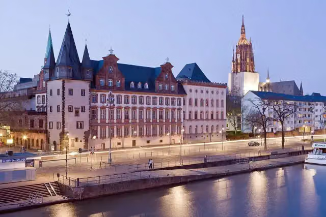 Historical Museum FrankfurtMuseum · 348 m from the route
- 20
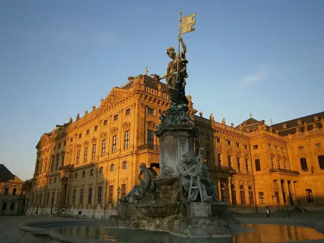 FrankoniabrunnenAttraction · 778 m from the route
- 21
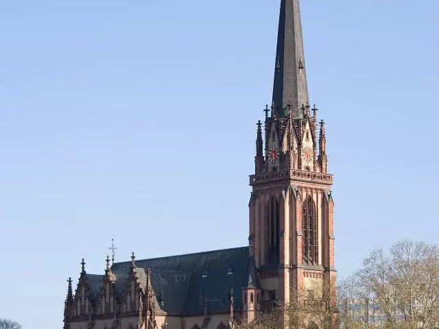 DreikönigskircheAttraction · 194 m from the route
- 22
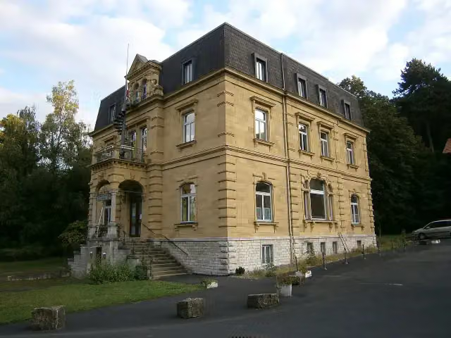 Siebold-MuseumMuseum · 333 m from the route
- 23
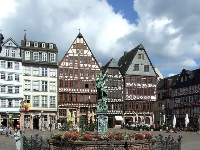 GerechtigkeitsbrunnenAttraction · 440 m from the route
- 24
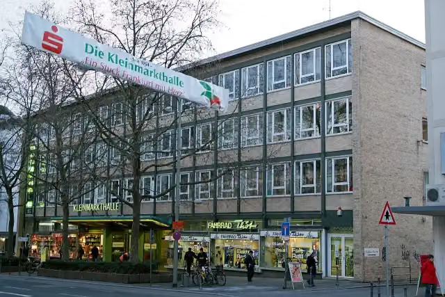 KleinmarkthalleAttraction · 697 m from the route
- 25
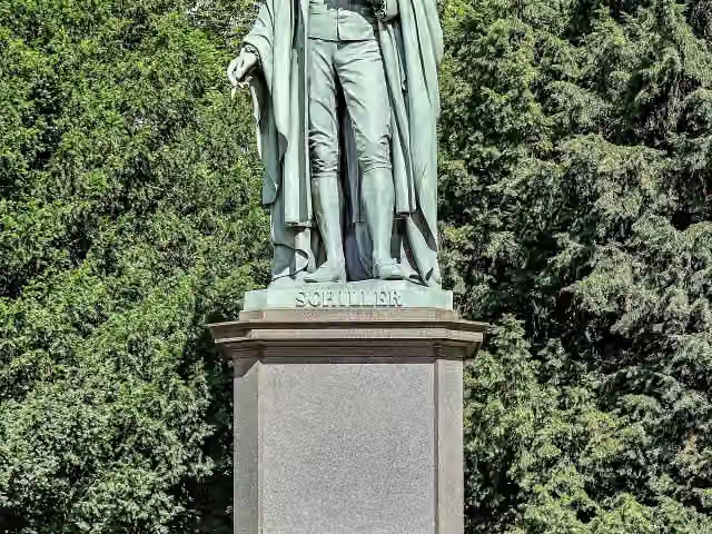 Schiller-DenkmalMemorial · 735 m from the route
Explore more
More walks around Neubauer Forst Nord
Frequently asked questions
How long is Mainweg?
Mainweg is 573.4 km long, in 10 parts of 57.3 km on average. Allow ± 14:00 h per part of walking: 4.5 km an hour and 10 minutes more per 100 metres of climbing, without breaks.
Is this route a circular walk?
No, the route starts and ends at different spots.
Where does this route start?
The route starts in Neubauer Forst Nord.
How hard is this route?
Hard per stage, with 771 m per stage of climbing.
Are there toilets along this route?
Yes, there are 85 public toilets within 100 m of the route.
Can you fill up with water along this route?
Yes, there are 15 water fountains and refill points within 100 m of the route.
What is there to see along this route?
Along the way you pass Gefallenendenkmal, Abschnittsbefestigung Hohe Warte and Deutsches Zinnfigurenmuseum.
Can I download this route as a GPX file?
Yes. Sign in with your Outdoor Pitstop account and choose Download GPX at the top of this page: 10 routes a month for free, unlimited with Pro.
Starting point
More routes from this place
Route data © OpenStreetMap contributors





