 Outdoor Pitstop
Walking route · Muggia · Updated on 14 November 2026
Via Alpina Yellow walk
Via Alpina Yellow is a walk of 573.8 km from Muggia. Along the way you'll find 369 benches, 107 water fountains and refill points, 21 public toilets and 1 bike pump.
i
i
i
The route step by step
From start to finish, with what you pass along the way and the distance in between.
- 573.8 km
- From A to B
- International route
Pick a stage to see the pitstops per kilometre. Along the way you'll find 369 benches, 107 water fountains and refill points, 21 public toilets and 1 bike pump.
Follow these steps in the appThe route with the water points, toilets and sights within 100 m of it.
12 sights along the way
In the order you pass them. With the Outdoor Pitstop app you hear their story on the spot. 4 more along the route are on the map.
i
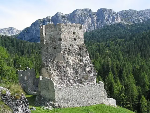
Photo: Kaethe17 · Wikimedia Commons · CC BY-SA 4.0View the photo on Wikimedia CommonsCastle

Museum
i
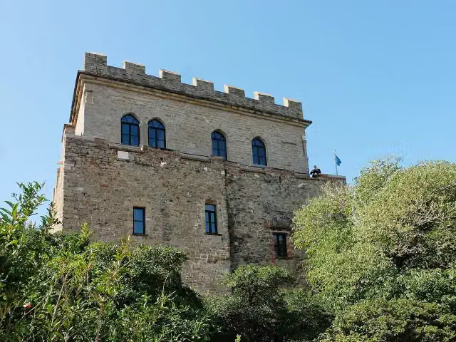
Photo: Twice25 & Rinina25 · Wikimedia Commons · CC BY 2.5View the photo on Wikimedia CommonsMonument
Observation tower
Ruins
Museum
Castle
i
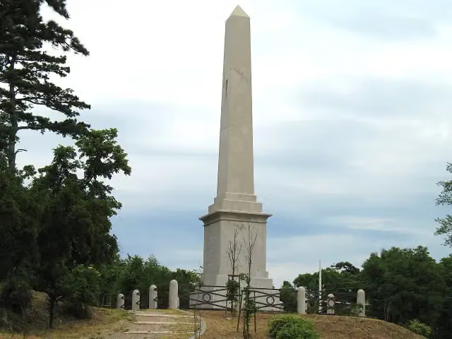
Photo: Unterillertaler · Wikimedia Commons · CC BY-SA 3.0View the photo on Wikimedia CommonsCastle
Stages (1)
About the walking route Via Alpina Yellow
Updated on 14 November 2026, with data from OpenStreetMap, the AHN and Copernicus.
Where do you walk?
Via Alpina Yellow is a walking route of 573.8 km that starts in Muggia. It does not end where it starts.
Pitstops along the way
Within 100 metres of the route there are 369 benches, 107 water fountains and refill points, 21 public toilets and 1 bike pump. The Outdoor Pitstop app navigates you there.
Walks nearby
6- Via Alpina Red R50Hard · From A to B17.7 km
- Via Alpina Red R51Hard · From A to B19.7 km
- Oberallgäuer RundwanderwegHard · Circular walk220.3 km
- Europäischer Fernwanderweg E5, DeutschlandHard · From A to B53.2 km
- Via Alpina Purple A66Hard · From A to B17.6 km
- Himmelsstürmer-Route Etappe 18aModerate · From A to B6.2 km
Sights nearby
Within 10 km of the route, best known first.
- 1
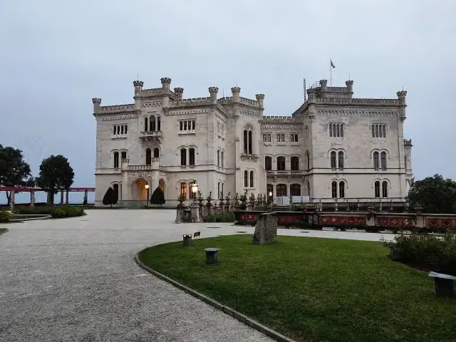 Miramare CastleAttraction · 1.3 km from the route
- 2
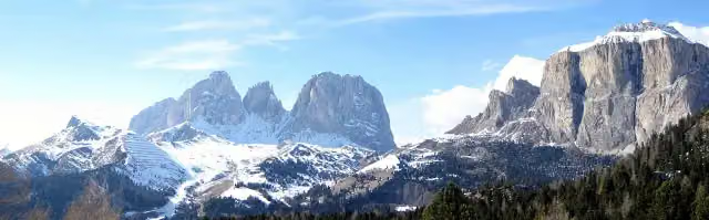 Sella PassAttraction · 4.2 km from the route
- 3
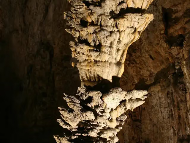 Grotta Gigante / Briškovska jamaAttraction · 2.2 km from the route
- 4
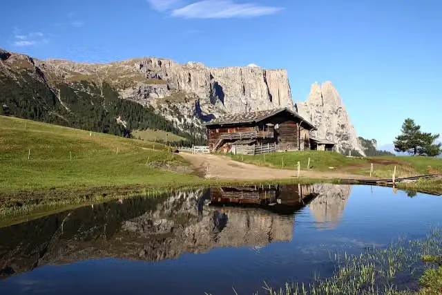 Petz - Monte PezViewpoint · 457 m from the route
- 5
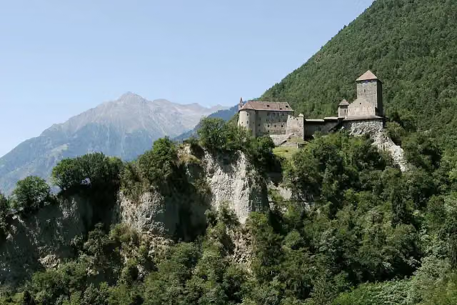 Tirol CastleCastle · 1.4 km from the route
- 6
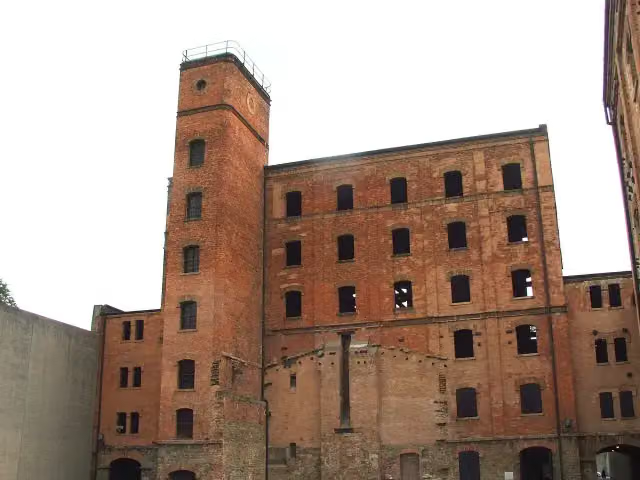 Risiera di San Sabba / Rižarna pri Sveti SobotiAttraction · 2.5 km from the route
- 7
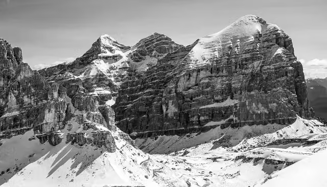 130° Anniversario della prima scalata della TofanaMemorial · 7 km from the route
- 8
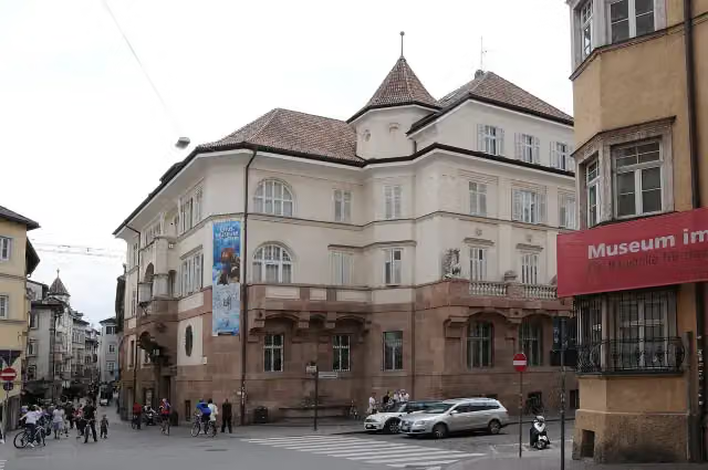 South Tyrol Museum of ArchaeologyMuseum · 3.8 km from the route
- 9
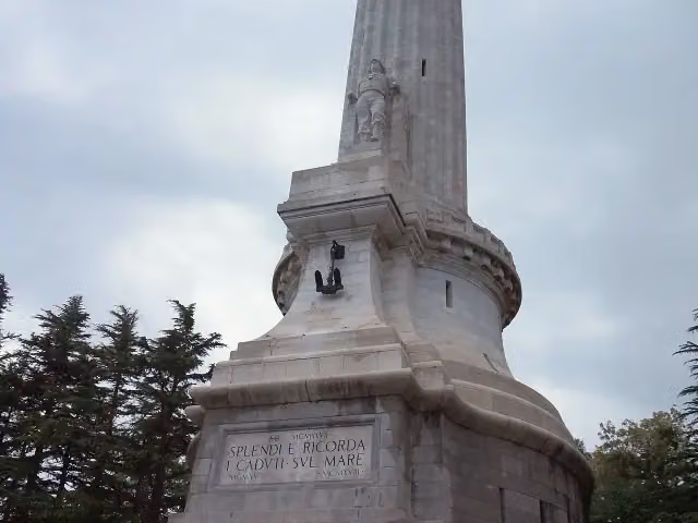 Victory LighthouseAttraction · 1.3 km from the route
- 10
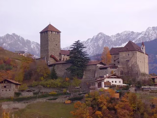 Schloss Tirol - Castel TiroloMuseum · 1.4 km from the route
- 11
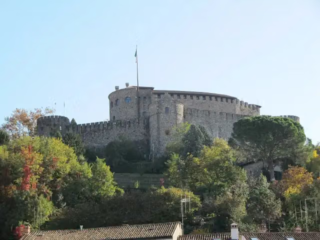 Gorizia CastleCastle · 1.8 km from the route
- 12
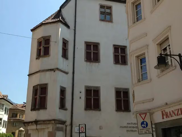 Museo Scienze Naturali - NaturmuseumMuseum · 3.9 km from the route
- 13
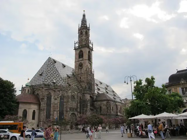 Our Lady of the AssumptionAttraction · 4.1 km from the route
- 14
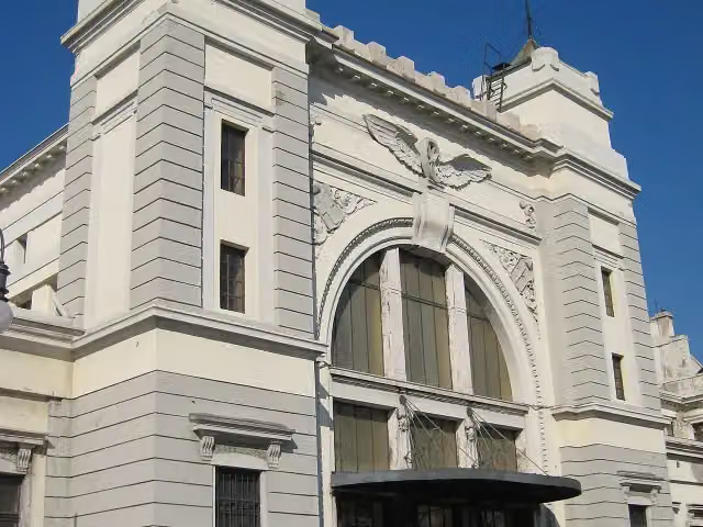 Museo ferroviario (closed)Museum · 4.2 km from the route
- 15
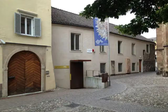 Tesoro del Duomo di Bolzano - Domschatzkammer BozenMuseum · 4.2 km from the route
- 16
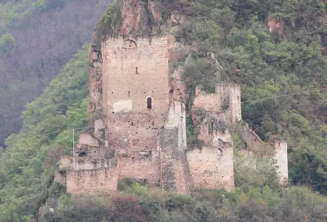 NeuhausCastle · 4.8 km from the route
- 17
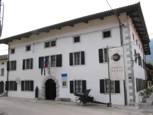 Kobariški MuseumMuseum · 4.9 km from the route
- 18
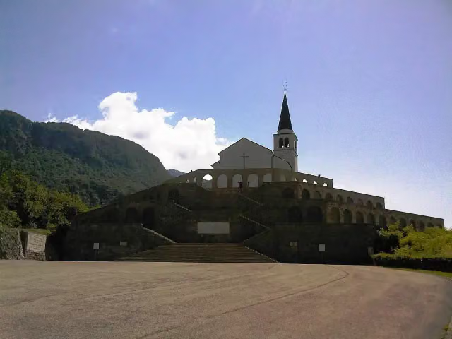 Italian charnel houseMonument · 5.1 km from the route
- 19
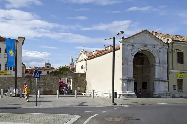 Vrata Muda / Porta della MudaAttraction · 5.8 km from the route
- 20
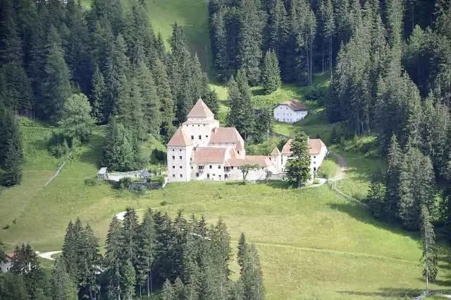 L Ciastel - Fischburg - Castel GardenaCastle · 8.6 km from the route
- 21
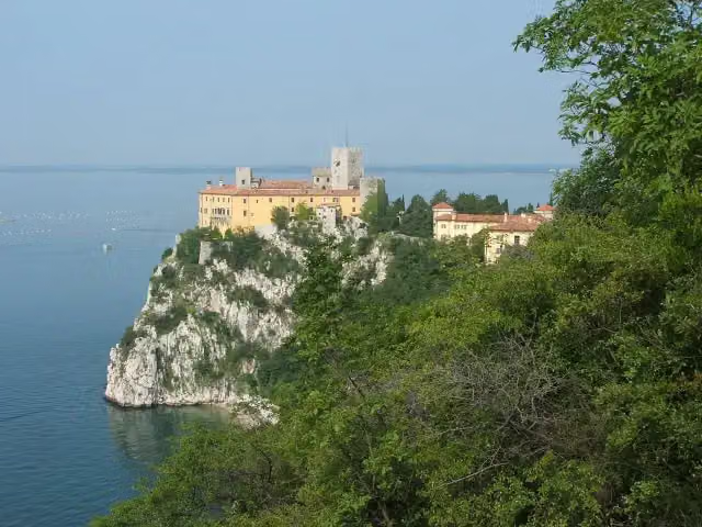 Castello di Duino / Devinski gradCastle · 169 m from the route
- 22
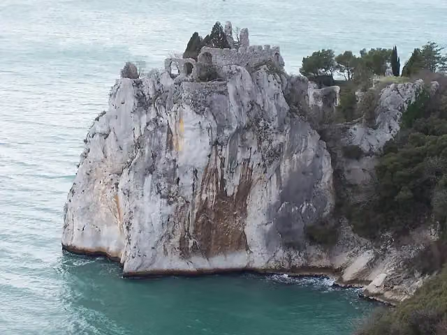 Castello Vecchio di Duino / Stari devinski gradRuins · 250 m from the route
- 23
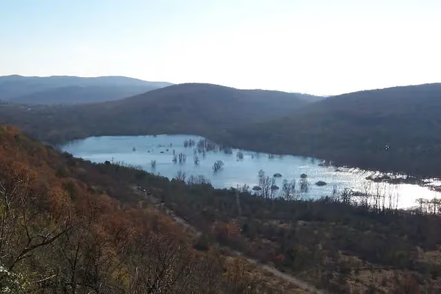 Doberdo lakeViewpoint · 273 m from the route
- 24
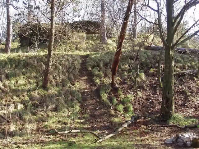 Castello di Moccò / Muhov gradRuins · 281 m from the route
- 25
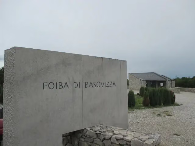 Foiba di Basovizza / ŠohtMemorial · 638 m from the route
Explore more
More walks around Muggia
Frequently asked questions
How long is Via Alpina Yellow?
Via Alpina Yellow is 573.8 km long, split into several parts and stages.
Is this route a circular walk?
No, the route starts and ends at different spots.
Where does this route start?
The route starts in Muggia.
Are there toilets along this route?
Yes, there are 21 public toilets within 100 m of the route.
Can you fill up with water along this route?
Yes, there are 107 water fountains and refill points within 100 m of the route.
What is there to see along this route?
Along the way you pass Castello di Muggia, Museo Ugo Carà and Obelisco di Opicina.
Can I download this route as a GPX file?
Yes. Sign in with your Outdoor Pitstop account and choose Download GPX at the top of this page: 10 routes a month for free, unlimited with Pro.
Starting point
More routes from this place
Route data © OpenStreetMap contributors





