 Outdoor Pitstop
Walking route · Hirschhorn · Updated on 14 November 2026
HW 21: Franken-Hessen-Kurpfalz-Weg Teil 1 (Hirschhorn - Speyer) walk
HW 21: Franken-Hessen-Kurpfalz-Weg Teil 1 (Hirschhorn - Speyer) is a walk of 58 km from Hirschhorn. Along the way you'll find 233 benches, 6 water fountains and refill points, 9 public toilets and 2 honesty boxes and farm vending machines.
i
i
The route step by step
From start to finish, with what you pass along the way and the distance in between.
- 58 km
- ± 14:15 h
- ↑ 836 m · ↓ 866 m
- Hard
- From A to B
- National route
Start in Hirschhorn
0 km350 m · 11 benches
Public toilet
350 m217 m · 11 benches
Public toilet and 2 water fountains and refill points
567 m553 m · 10 benches
Public toilet
1.1 km5.8 km · 13 benches
Water point
6.9 km6.9 km · 52 benches
3 public toilets
13.9 km4.1 km · 35 benches

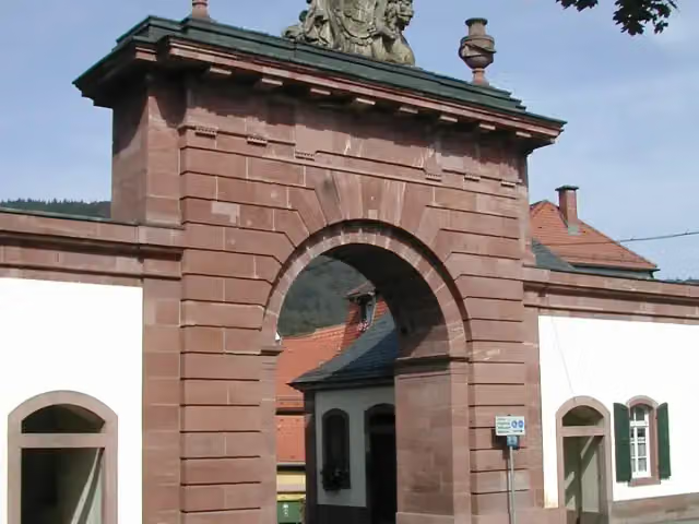
Stadttor
18 kmPublic toilet and 2 water fountains and refill points
6.3 km · 39 benches
Water point
24.4 km23.2 km · 44 benches
Honesty box
47.5 km925 m
Heimatvertriebenendenkmal
48.4 kmPublic toilet
675 m · 12 benches
Public toilet
49.1 km1.1 km · 2 benches
Honesty box
50.2 km7.8 km · 4 benches
Finish
58 km
Longest stretch without a toilet: 30.4 kmBetween 18 km and 48.4 km there is no public toilet within 100 m of the route.
The route with the pitstops and sights within 100 m of it.
2 sights along the way
In the order you pass them. With the Outdoor Pitstop app you hear their story on the spot.
Attraction · after 18 km

Memorial · after 48.5 km
Elevation and terrain
- Up
- ↑ 836 m
- Down
- ↓ 866 m
- Highest point
- 393 m
- Lowest point
- 94 m
- 5-10% slope · 12 km
- 10-15% slope · 2.6 km
- 15-20% slope · 583 m
- 6 stairs
Elevation from Copernicus GLO-30 (European Union and ESA), smoothed.
produced using Copernicus WorldDEM-30 © DLR e.V. 2010-2014 and © Airbus Defence and Space GmbH 2014-2018 provided under COPERNICUS by the European Union and ESA; all rights reserved
Way types
58 km in total- Track: 39.6 km
- Street: 8.4 km
- Path: 4.3 km
- Road: 2.6 km
- Footpath: 1.6 km
- Cycleway: 725 m
- Busy road: 425 m
- Stairs: 6 stairs
Surfaces
58 km in total- Asphalt: 25.6 km
- Gravel: 20.9 km
- Paved: 3.6 km
- Unpaved: 3 km
- Unknown: 4.8 km
About the walking route HW 21: Franken-Hessen-Kurpfalz-Weg Teil 1 (Hirschhorn - Speyer)
Updated on 14 November 2026, with data from OpenStreetMap, the AHN and Copernicus.
Where do you walk?
HW 21: Franken-Hessen-Kurpfalz-Weg Teil 1 (Hirschhorn - Speyer) is a walking route of 58 km that starts in Hirschhorn. It does not end where it starts. You start in Hirschhorn and finish in Speyer. Along the way you pass Stadttor (after 18 km) and Heimatvertriebenendenkmal (after 48.5 km).
How hard is the route?
You climb 836 m in total and descend 866 m. There are 6 flights of steps along the way. Allow ± 14:15 h, without breaks. The level is hard.
What paths do you walk on?
The longest part is track (39.6 km), street (8.4 km) and path (4.3 km). Of the surface, 25.6 km asphalt and 20.9 km gravel. For 4.8 km the surface is not known.
Pitstops along the way
Within 100 metres of the route there are 233 benches, 6 water fountains and refill points, 9 public toilets and 2 honesty boxes and farm vending machines. You can fill your bottle after 567 m, after 657 m, after 6.9 km, after 18 km and after 24.4 km. The longest stretch without a toilet is 30.4 km. The Outdoor Pitstop app navigates you there.
Walks nearby
6- HW 21: Franken-Hessen-Kurpfalz-Weg Teil 1 (Böllstein - Hirschhorn)Hard · From A to B43 km
- Rechter NeckarrandwegHard · From A to B84.6 km
- Odenwaldklub HW 34, Ladenburg - Eberbach - OsterburkenHard · From A to B92.2 km
- Hugenotten- und Waldenserpfad, Etappe Schönau - RothenbergHard · From A to B17.3 km
- Europäischer Fernwanderweg E8, Südvariante Baden-WürttembergHard · From A to B184.4 km
- Odenwaldklub HW 19, Offenbach - Hirschhorn - EppingenHard · From A to B150.7 km
Sights nearby
Within 10 km of the route, best known first.
- 1
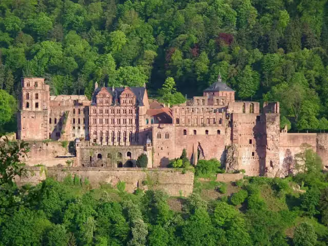 Heidelberg CastleAttraction · 4.6 km from the route
- 2
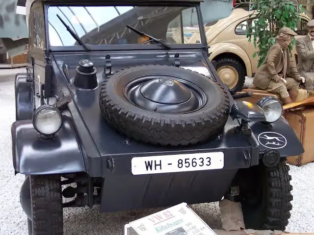 Technik Museum SpeyerMuseum · 656 m from the route
- 3
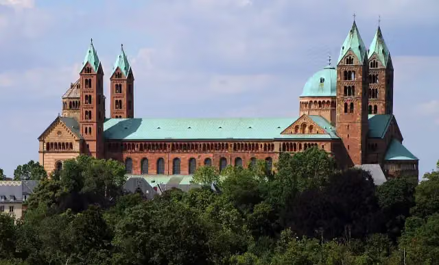 Dom zu SpeyerAttraction · 745 m from the route
- 4
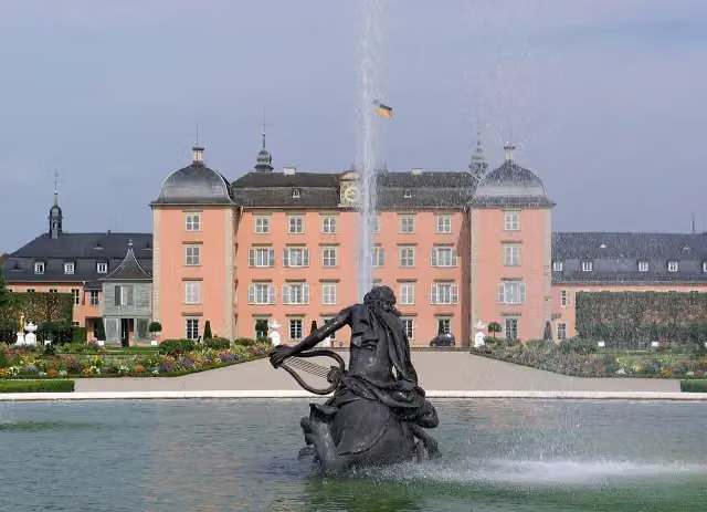 Schloss SchwetzingenCastle · 6.6 km from the route
- 5
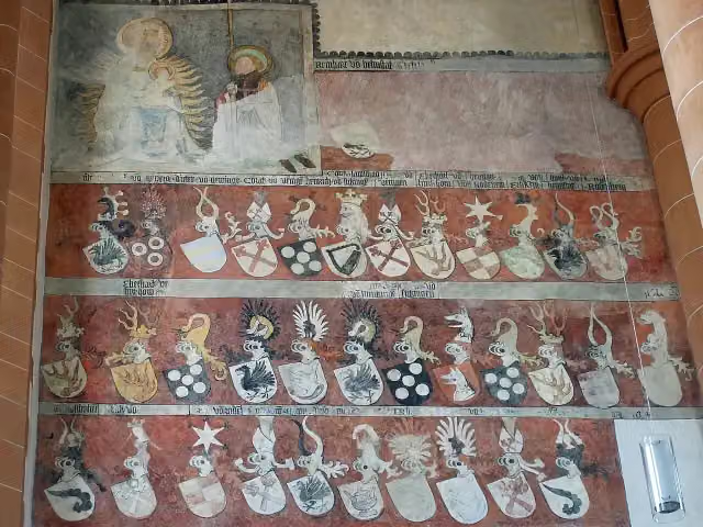 Church of the Holy SpiritAttraction · 5 km from the route
- 6
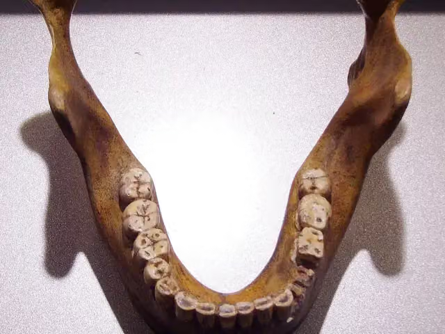 Fundstelle Homo heidelbergensisArchaeological site · 3.2 km from the route
- 7
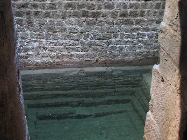 Speyer Jewry-CoutAttraction · 952 m from the route
- 8
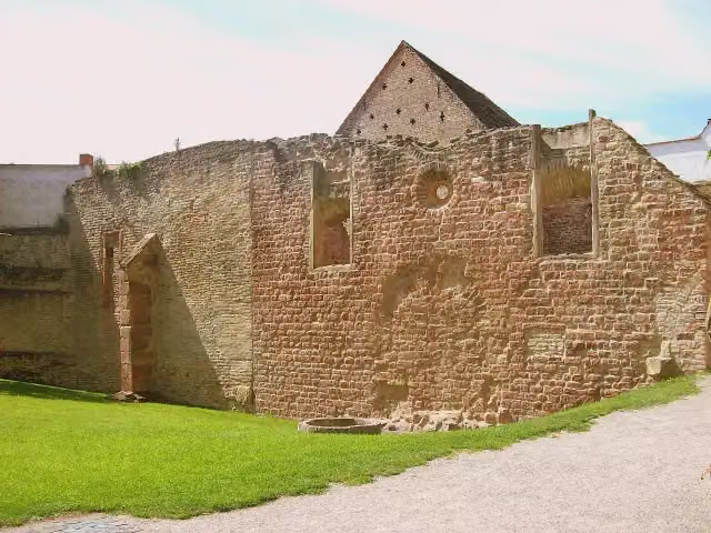 Synagogue SpeyerRuins · 961 m from the route
- 9
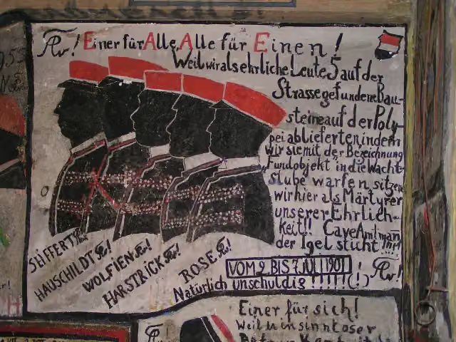 Historischer StudentenkarzerMuseum · 5 km from the route
- 10
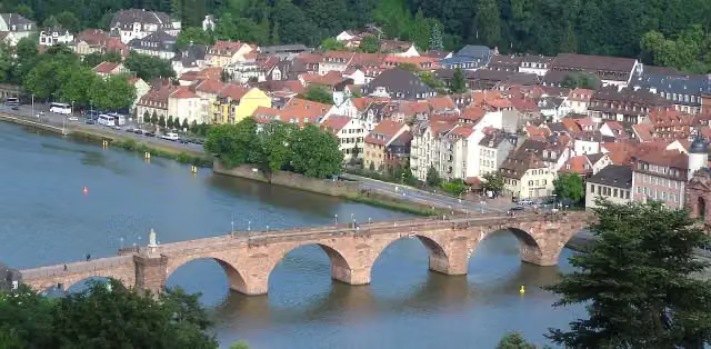 Alte BrückeAttraction · 5.2 km from the route
- 11
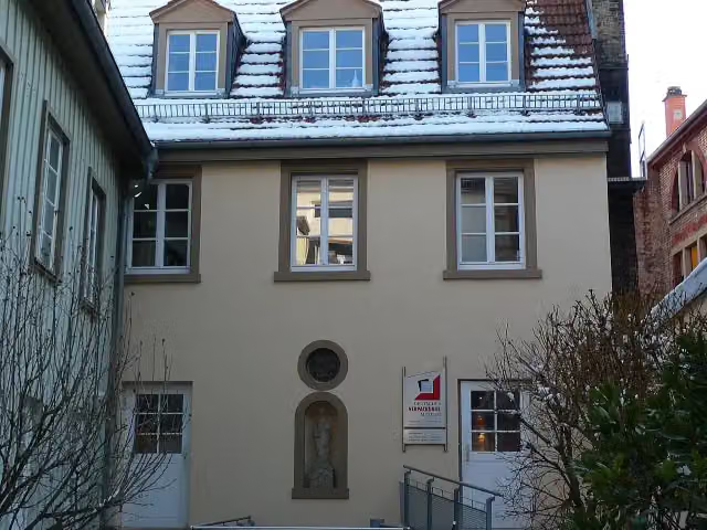 Deutsches VerpackungsmuseumMuseum · 5.3 km from the route
- 12
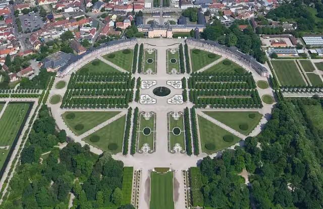 Schwetzingen Palace GardensAttraction · 6.7 km from the route
- 13
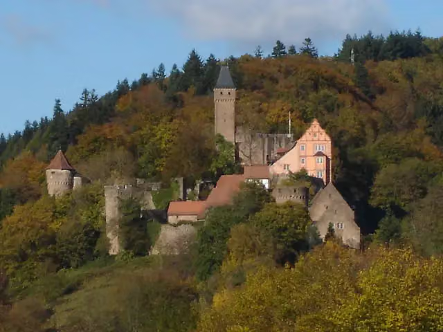 Burg HirschhornAttraction · 102 m from the route
- 14
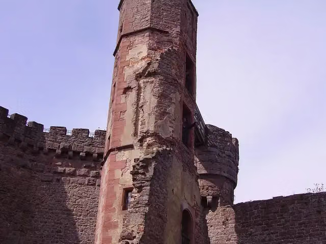 Burg DilsbergCastle · 128 m from the route
- 15
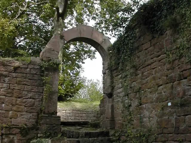 Burg ReichensteinCastle · 202 m from the route
- 16
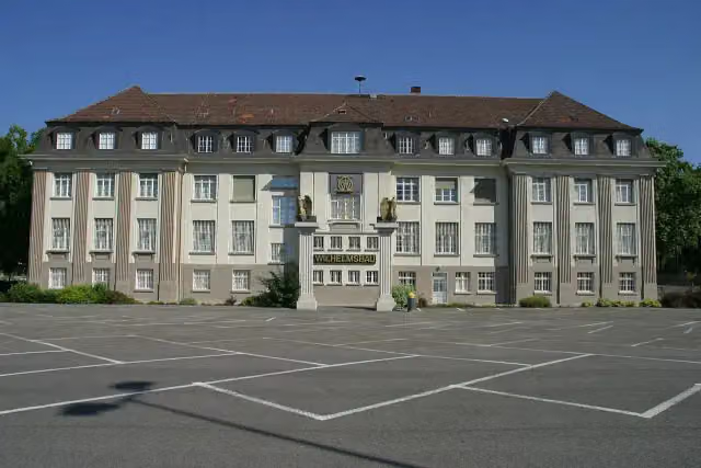 Museum WilhelmsbauMuseum · 507 m from the route
- 17
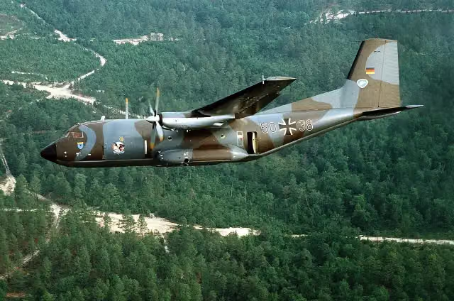 Transall C-160DAttraction · 626 m from the route
- 18
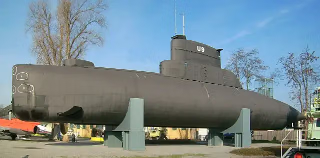 U9Attraction · 645 m from the route
- 19
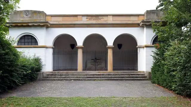 AntikenhalleMemorial · 715 m from the route
- 20
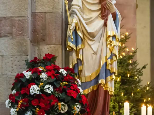 MarienstatueMemorial · 735 m from the route
- 21
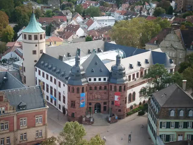 Historisches Museum der PfalzMuseum · 821 m from the route
- 22
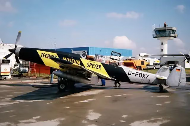 Dornier Emmen C-3605Attraction · 825 m from the route
- 23
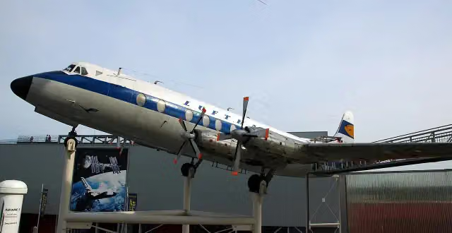 Vickers Viscount 814Attraction · 829 m from the route
- 24
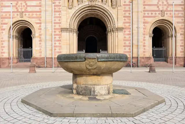 DomnapfAttraction · 834 m from the route
- 25
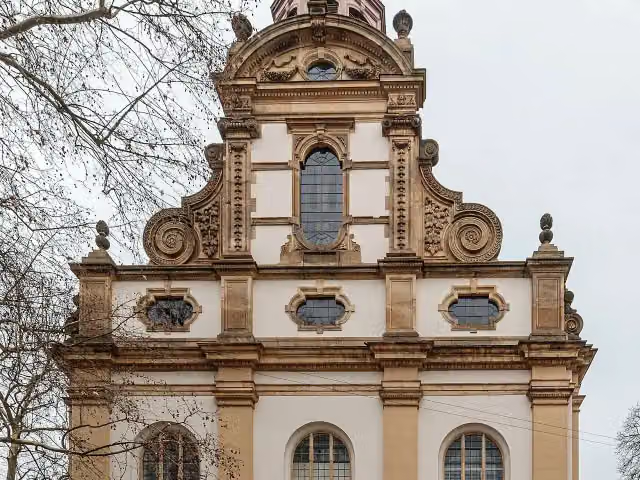 DreifaltigkeitskircheAttraction · 964 m from the route
Explore more
More walks around Hirschhorn
Frequently asked questions
How long is HW 21: Franken-Hessen-Kurpfalz-Weg Teil 1 (Hirschhorn - Speyer)?
HW 21: Franken-Hessen-Kurpfalz-Weg Teil 1 (Hirschhorn - Speyer) is 58 km long. Allow ± 14:15 h of walking: 4.5 km an hour and 10 minutes more per 100 metres of climbing, without breaks.
Is this route a circular walk?
No, the route runs from Hirschhorn to Speyer.
Where does this route start?
The route starts in Hirschhorn.
How hard is this route?
Hard, with 836 m of climbing.
Are there toilets along this route?
Yes, there are 9 public toilets within 100 m of the route. The longest stretch without a toilet is 30.4 km.
Can you fill up with water along this route?
Yes, there are 6 water fountains and refill points within 100 m of the route.
What is there to see along this route?
Along the way you pass Stadttor and Heimatvertriebenendenkmal.
Can I download this route as a GPX file?
Yes. Sign in with your Outdoor Pitstop account and choose Download GPX at the top of this page: 10 routes a month for free, unlimited with Pro.
Starting point
More routes from this place
Route data © OpenStreetMap contributors





