 Outdoor Pitstop
Walking route · West Betuwe · Updated on 13 November 2026
Klompenpad Leidschehoevenpad walk
Klompenpad Leidschehoevenpad is a walk of 9.5 km from West Betuwe that starts and ends at the same spot. Along the way you'll find 1 bench and 1 public toilet.
The route step by step
From start to finish, with what you pass along the way and the distance in between.
- 9.5 km
- ± 2:05 h
- ↑ 0 m · ↓ 0 m
- Easy
- Circular walk
- Local route
This route is in pieces in OpenStreetMap, so there are no kilometres per pitstop. Along the way you'll find 1 bench and 1 public toilet.
Follow these steps in the appThe route with the pitstops and sights within 100 m of it.
Elevation and terrain
- Up
- ↑ 0 m
- Down
- ↓ 0 m
- Highest point
- 3 m
- Lowest point
- 1 m
- 1 flight of stairs
Elevation from AHN (Rijkswaterstaat), smoothed.
Way types
9.5 km in total- Path: 5.7 km
- Track: 2 km
- Road: 1.7 km
- Street: 25 m
- Footpath: 25 m
- Stairs: 1 flight of stairs
Surfaces
9.5 km in total- Natural: 2.5 km
- Asphalt: 800 m
- Unpaved: 725 m
- Gravel: 250 m
- Paved: 125 m
- Unknown: 5.1 km
About the walking route Klompenpad Leidschehoevenpad
Updated on 13 November 2026, with data from OpenStreetMap, the AHN and Copernicus.
Where do you walk?
Klompenpad Leidschehoevenpad is a circular walk of 9.5 km from West Betuwe: it starts and ends in the same place.
How hard is the route?
The route is almost flat. You climb 0 m in total and descend 0 m. There is 1 flight of steps along the way. Allow ± 2:05 h, without breaks. The level is easy.
What paths do you walk on?
The longest part is path (5.7 km), track (2 km) and road (1.7 km). Of the surface, 2.5 km natural and 800 m asphalt. For 5.1 km the surface is not known.
Pitstops along the way
Within 100 metres of the route there are 1 bench and 1 public toilet. The Outdoor Pitstop app navigates you there.
Leidschehoevenpad: local 9.5 km walking route
The Leidschehoevenpad is a local walking route of 9.5 km. It is a circular route, so you start and finish in the same place. If you search for klompenpad Leidschehoevenpad, you will find the walking route that goes with it here. On this page you can see the route on the map and check the elevation profile, so you know what to expect along the way. The pit stops are shown too: the public toilets, the drinking water and the benches along the route. This way you can plan your walk in advance and know where to take a break on the way.
Surface and type of path
The Leidschehoevenpad is mostly natural surface. This applies to 56% of the 9.5 km. In addition, 18% of the route is asphalt, 17% is unpaved and 6% is gravel. The type of path also changes along the way. Most of the route, 60%, runs along a footpath. For 21% of the kilometres you follow a farm track or forest track, and 18% of the route is on an ordinary road. This way you know in advance what kind of sections you will encounter and what to expect underfoot.
Along the way: toilet and bench
Along the Leidschehoevenpad you will pass 1 public toilet and 1 bench. There are not many places to stop on this route, so it is useful to plan your breaks in advance. Check the map to see where the toilet and the bench are. That way you know where you can sit down along the way, and you can use the toilet when it suits you.
Walks nearby
6Sights nearby
Within 10 km of the route, best known first.
- 1
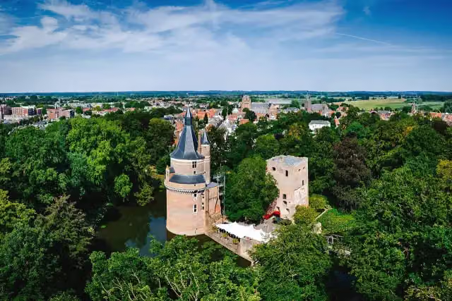 Duurstede CastleCastle · 8.6 km from the route
- 2
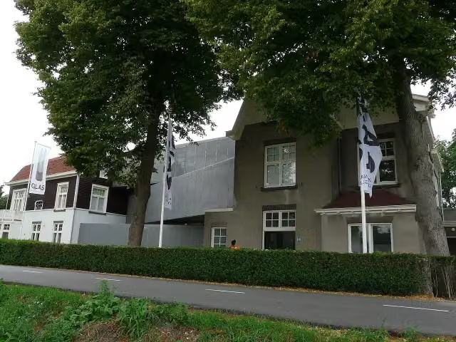 Nationaal GlasmuseumMuseum · 9.4 km from the route
- 3
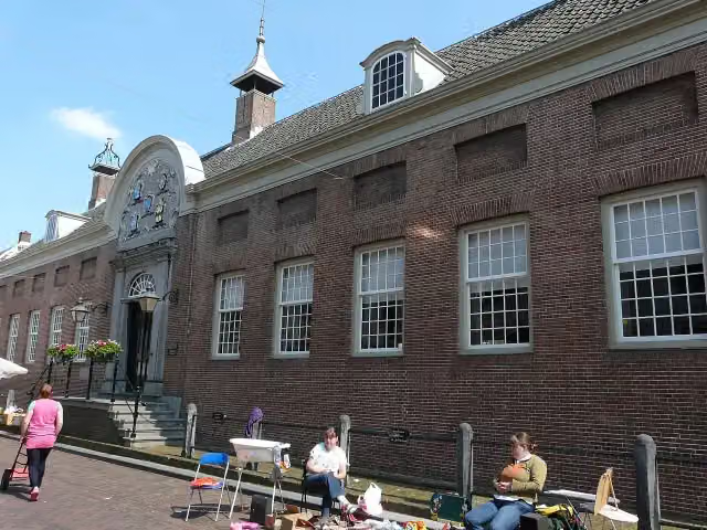 Hofje van AerdenMuseum · 8.8 km from the route
- 4
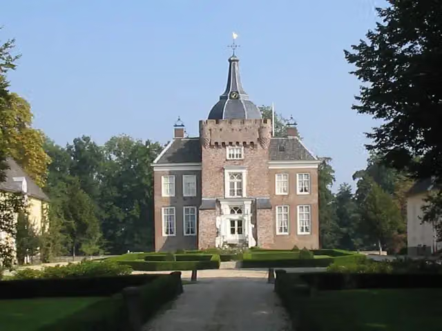 Kasteel HeukelumCastle · 9.3 km from the route
- 5
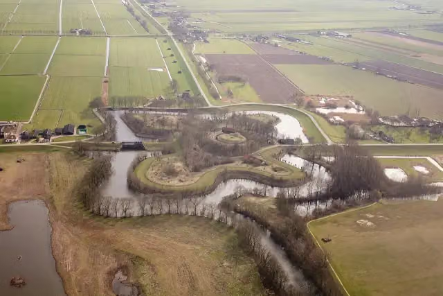 Fort EverdingenAttraction · 5.9 km from the route
- 6
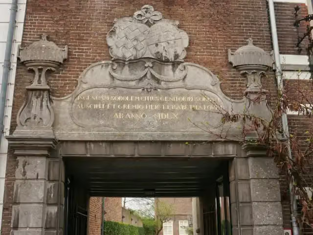 ElisabethweeshuisMuseum · 4.2 km from the route
- 7
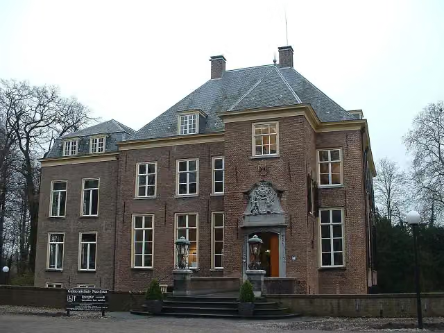 Kasteel NeerijnenCastle · 8.1 km from the route
- 8
 CaetshageArchaeological site · 3.1 km from the route
- 9
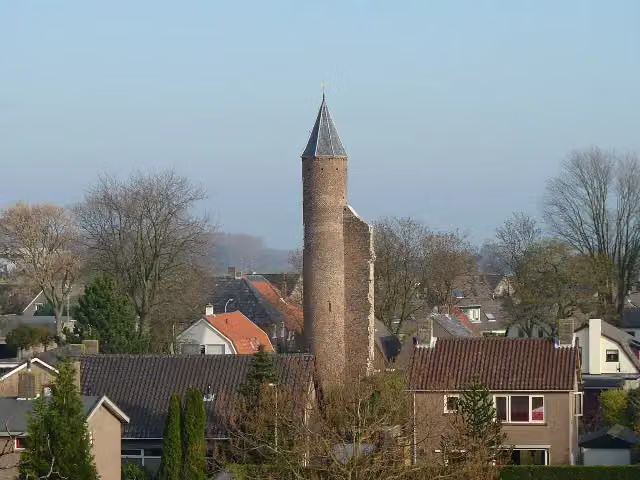 Kasteel GoudensteinRuins · 9.8 km from the route
- 10
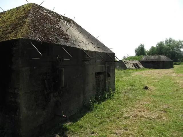 Werk aan de GroenewegFort · 6.6 km from the route
- 11
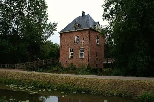 VuylcopCastle · 9.7 km from the route
- 12
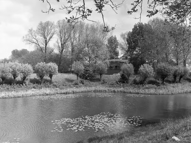 Werk op de Spoorweg bij de DiefdijkFort · 6.8 km from the route
- 13
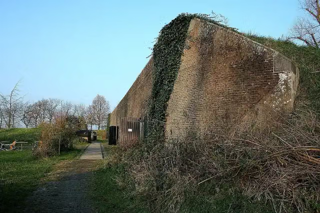 Werk aan de Korte UitwegFort · 8.7 km from the route
- 14
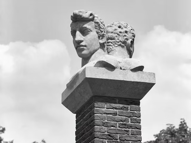 VerzetsmonumentMemorial · 8.6 km from the route
- 15
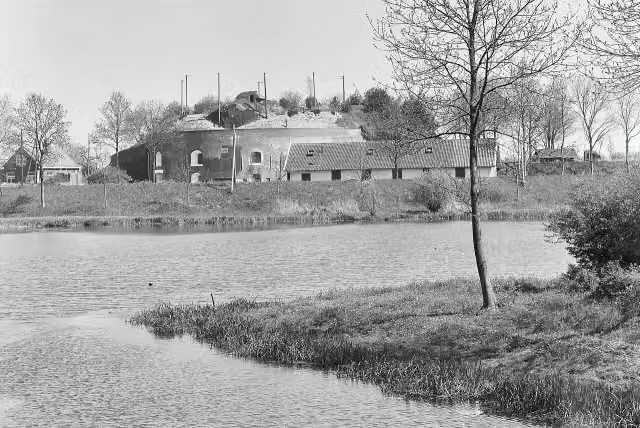 Fort bij AsperenFort · 7.4 km from the route
- 16
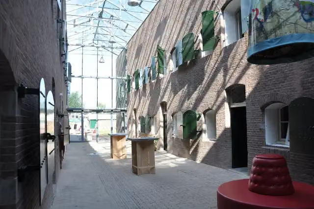 Fort bij de Nieuwe SteegFort · 7.7 km from the route
- 17
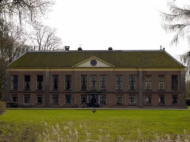 MariënwaerdtCastle · 1.6 km from the route
- 18
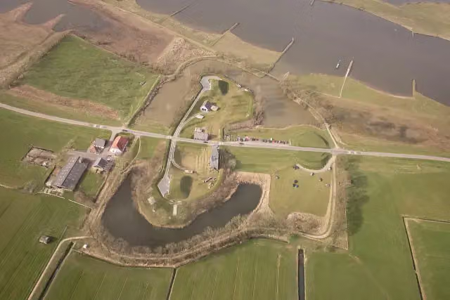 Werk aan het SpoelFort · 5.1 km from the route
- 19
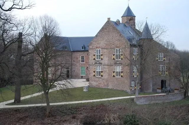 Kasteel WaardenburgCastle · 7.9 km from the route
- 20
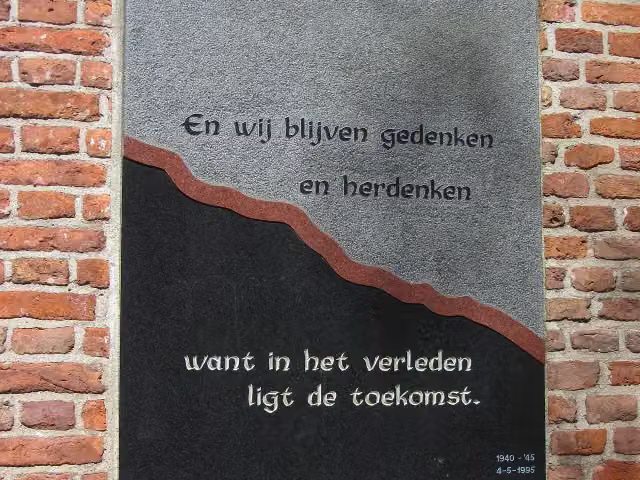 Monument aan de MarktMemorial · 8.9 km from the route
- 21
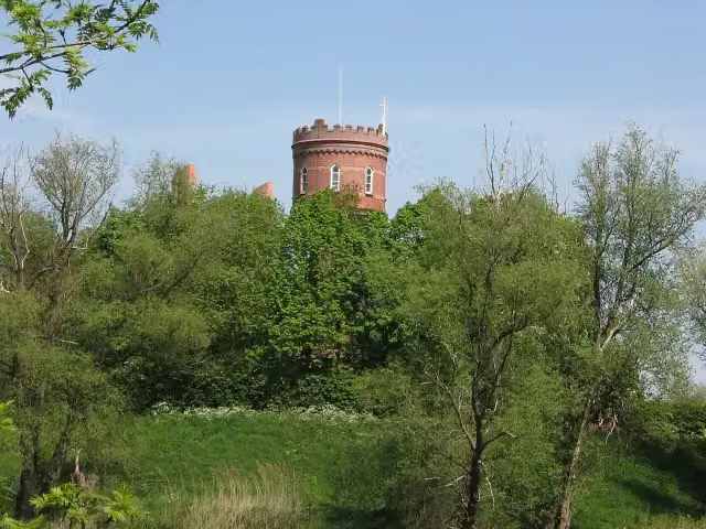 Vesting ZaltbommelCastle · 9.9 km from the route
- 22
 Elvis Presley MuseumMuseum · 4 km from the route
- 23Kasteel Ten GoyeRuins · 9.4 km from the route
- 24Buren en OranjeMuseum · 5.7 km from the route
- 25Fort HonswijkFort · 7.7 km from the route
Explore more
Frequently asked questions
How long is the Klompenpad Leidschehoevenpad walk?
The Leidschehoevenpad is 9.5 km long. It is a local walking route.
Is the Klompenpad Leidschehoevenpad a circular route?
Yes, the Leidschehoevenpad is a circular route. You start and finish in the same place.
What kind of surface does the Klompenpad Leidschehoevenpad walk have?
The surface is 56% natural ground. The rest is 18% asphalt, 17% unpaved and 6% gravel.
How much of the Klompenpad Leidschehoevenpad walk is on a footpath?
60% of the route runs along a footpath. A further 21% is a farm or forest track, and 18% is an ordinary road.
Are there pit stops along the Klompenpad Leidschehoevenpad walk?
Yes, along the way you'll find 1 public toilet and 1 bench. Drinking water is not listed as a pit stop.
Starting point
More routes from this place
Route data © OpenStreetMap contributors





