 Outdoor Pitstop
Walking route · Neuenburg am Rhein · Updated on 14 November 2026
Interegio-Wanderweg walk
Interegio-Wanderweg is a walk of 154.8 km from Neuenburg am Rhein. Along the way you'll find 247 benches, 13 water fountains and refill points, 12 public toilets, 2 bike pumps and 1 honesty box.
i
i
i
The route step by step
From start to finish, with what you pass along the way and the distance in between.
- 154.8 km
- From A to B
- International route
Pick a stage to see the pitstops per kilometre. Along the way you'll find 247 benches, 13 water fountains and refill points, 12 public toilets, 2 bike pumps and 1 honesty box.
Follow these steps in the appThe route with the water points, toilets and sights within 100 m of it.
11 sights along the way
In the order you pass them. With the Outdoor Pitstop app you hear their story on the spot. 3 more along the route are on the map.
i
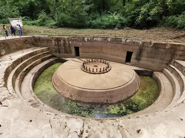
Photo: Wladyslaw Sojka · Wikimedia Commons · FALView the photo on Wikimedia CommonsObservation tower
i
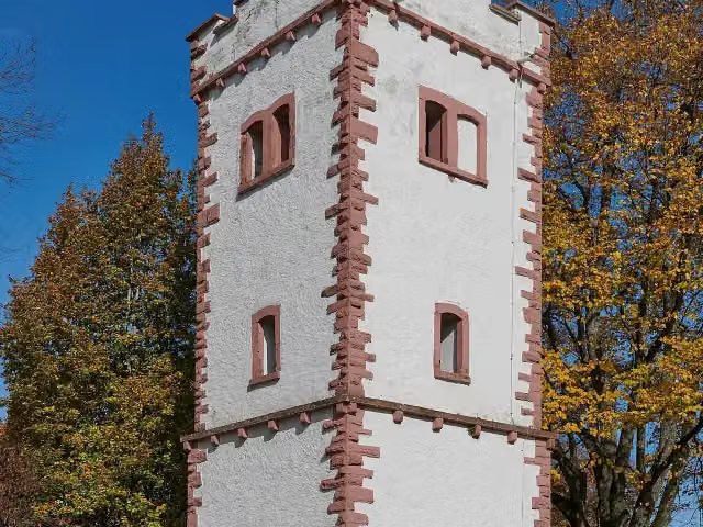
Photo: Wicotw · Wikimedia Commons · CC BY-SA 3.0View the photo on Wikimedia CommonsMuseum

Observation tower
Observation tower
i
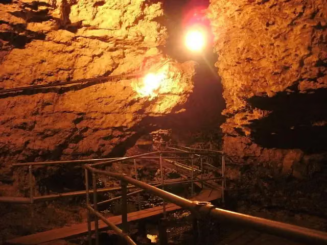
Photo: Latschari · Wikimedia Commons · CC BY-SA 3.0View the photo on Wikimedia CommonsAttraction
Castle
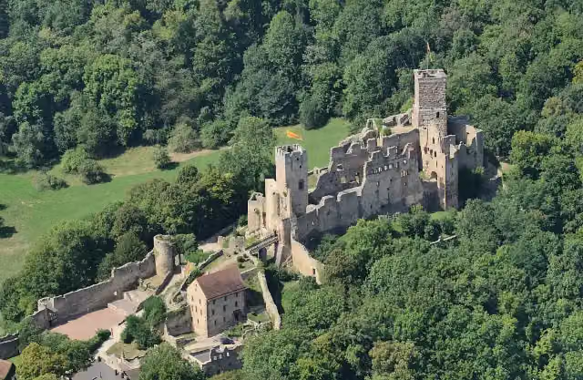
i
Photo: Taxiarchos228 · Wikimedia Commons · CC BY 3.0View the photo on Wikimedia CommonsCastle
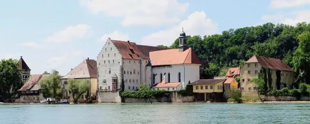
i
Photo: photographer: Wladyslaw (talk), stiched by Dschwen. Original uploader was Wladyslaw (talk) · Wikimedia Commons · CC BY-SA 3.0View the photo on Wikimedia CommonsCastle
Stages (1)
About the walking route Interegio-Wanderweg
Updated on 14 November 2026, with data from OpenStreetMap, the AHN and Copernicus.
Where do you walk?
Interegio-Wanderweg is a walking route of 154.8 km that starts in Neuenburg am Rhein. It does not end where it starts.
Pitstops along the way
Within 100 metres of the route there are 247 benches, 13 water fountains and refill points, 12 public toilets, 2 bike pumps and 1 honesty box. The Outdoor Pitstop app navigates you there.
Sights nearby
Within 10 km of the route, best known first.
- 1
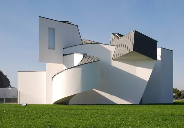 Vitra Design Museum, Frank Gehry (1989)Museum · 5 km from the route
- 2
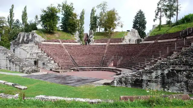 Augusta RauricaAttraction · 5.6 km from the route
- 3
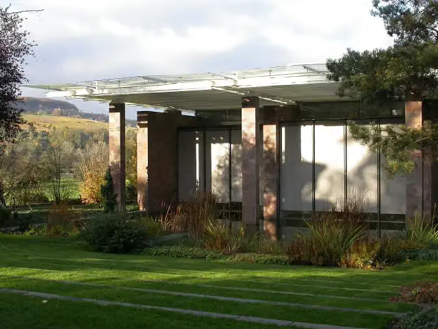 Fondation BeyelerMuseum · 5.2 km from the route
- 4
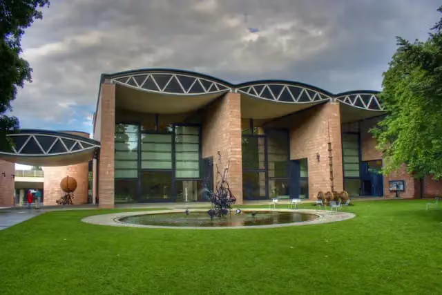 Museum TinguelyMuseum · 9.2 km from the route
- 5
 Cité du trainMuseum · 5.3 km from the route
- 6
 Musée National de l'Automobile - Collection SchlumpfMuseum · 5.1 km from the route
- 7
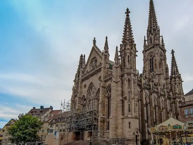 Temple Saint-ÉtienneMonument · 3.3 km from the route
- 8
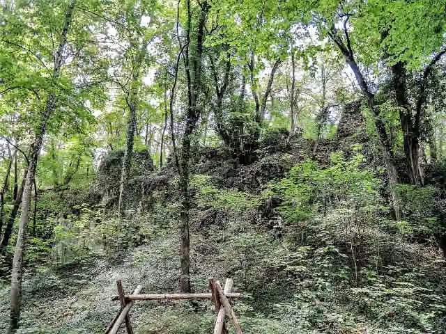 Château du WaldeckCastle · 3.5 km from the route
- 9
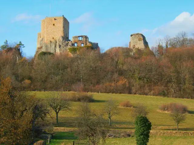 Château du LandskronCastle · 4.6 km from the route
- 10
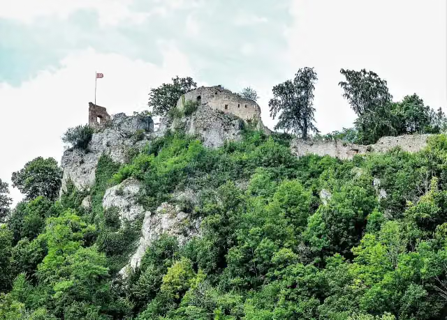 Château de FerretteCastle · 121 m from the route
- 11
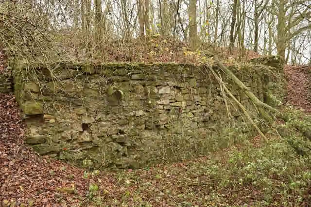 Vestiges du château de ButenheimRuins · 2.7 km from the route
- 12
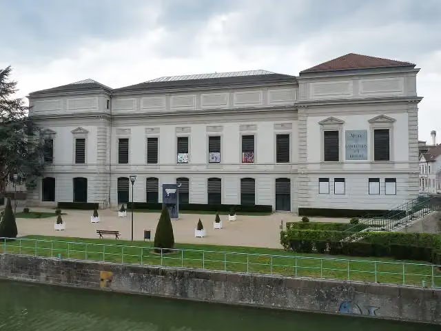 Musée de l'Impression sur ÉtoffesMuseum · 2.9 km from the route
- 13
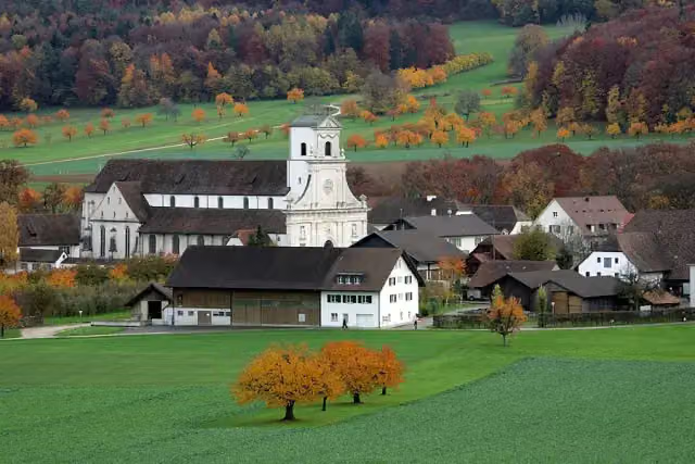 Kloster MariasteinAttraction · 5.1 km from the route
- 14
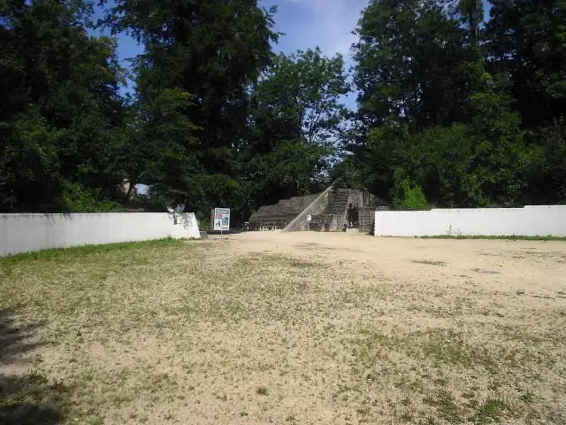 Augst AmphitheatreArchaeological site · 5.9 km from the route
- 15
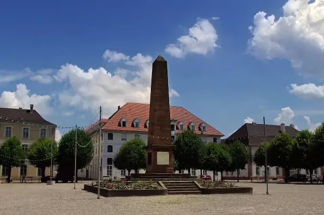 Monument du Général AbbatucciMemorial · 7.6 km from the route
- 16
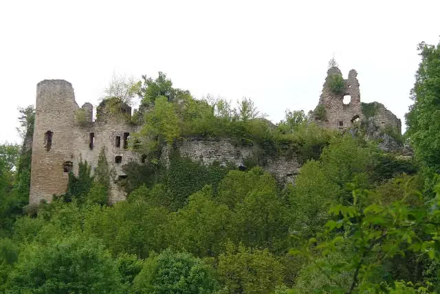 Château du MorimontCastle · 9.2 km from the route
- 17
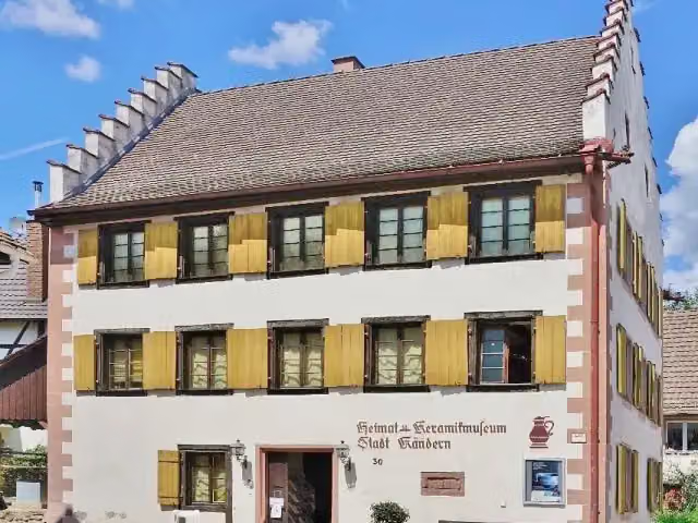 Heimat- und Keramikmuseum KandernMuseum · 142 m from the route
- 18
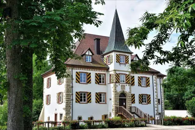 Wasserschloß EntensteinCastle · 161 m from the route
- 19
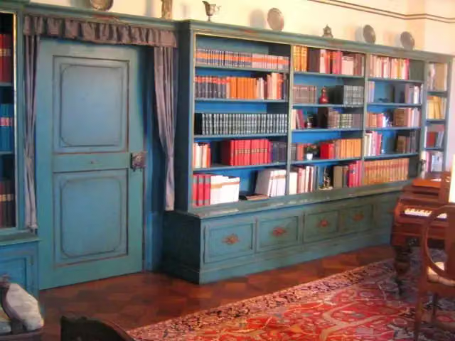 Schloss BürgelnCastle · 171 m from the route
- 20
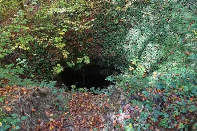 TeufelslochAttraction · 180 m from the route
- 21
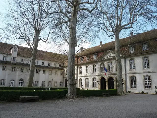 Ancienne commanderie de chevaliers teutoniques et parc ZuberMonument · 193 m from the route
- 22
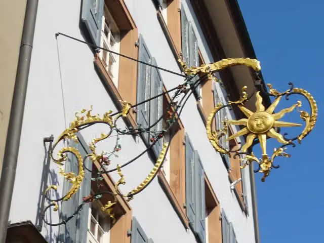 Haus zur Sonne, Fricktaler MuseumMuseum · 230 m from the route
- 23
 Musée du Sapeur-Pompier d'AlsaceMuseum · 449 m from the route
- 24
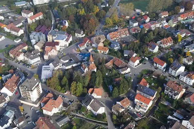 Brombacher SchlössliCastle · 922 m from the route
- 25
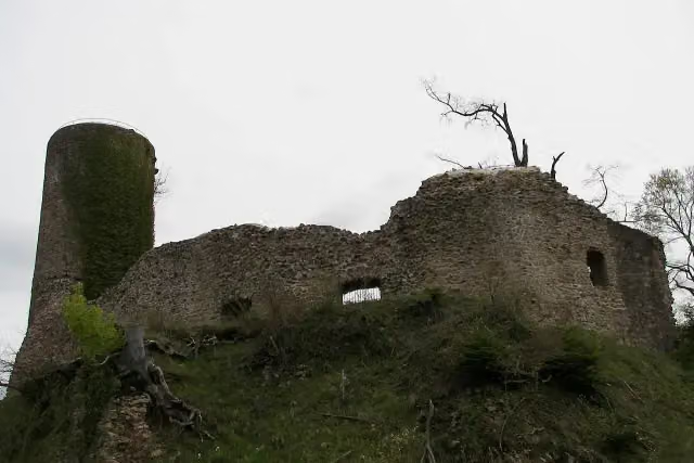 SausenburgCastle · 992 m from the route
Explore more
More walks around Neuenburg am Rhein
Frequently asked questions
How long is Interegio-Wanderweg?
Interegio-Wanderweg is 154.8 km long, split into several parts and stages.
Is this route a circular walk?
No, the route starts and ends at different spots.
Where does this route start?
The route starts in Neuenburg am Rhein.
Are there toilets along this route?
Yes, there are 12 public toilets within 100 m of the route.
Can you fill up with water along this route?
Yes, there are 13 water fountains and refill points within 100 m of the route.
What is there to see along this route?
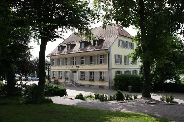
Along the way you pass Aussichtsturm Hohe Flum, Haus Salmegg and Observation tower.
Can I download this route as a GPX file?
Yes. Sign in with your Outdoor Pitstop account and choose Download GPX at the top of this page: 10 routes a month for free, unlimited with Pro.
Starting point
More routes from this place
Route data © OpenStreetMap contributors





