 Outdoor Pitstop
Mountain bike trail · Rheden · Updated on 6 November 2026
MTB Veluwezoom-afkortroutes
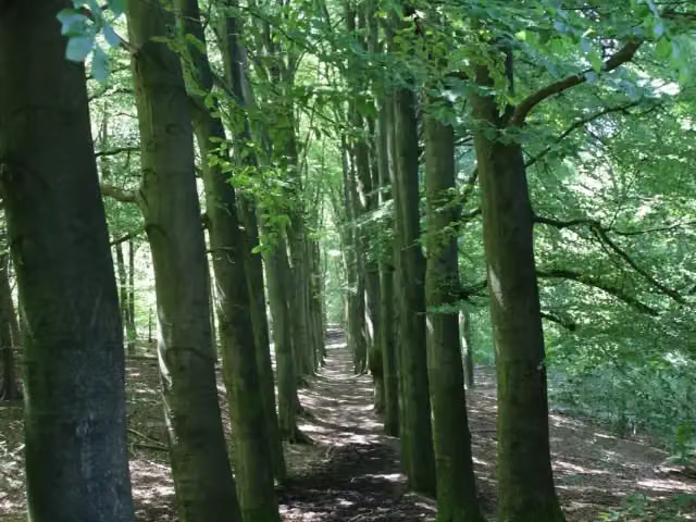
MTB Veluwezoom-afkortroutes is a mountain bike trail of 356 m from Rheden.
i
The route step by step
From start to finish, with what you pass along the way and the distance in between.
- 356 m
- ± 5 min
- ↑ 0 m · ↓ 10 m
- Easy
- From A to B
- Local route
Start in Rheden
0 km356 m
Finish
356 m
No public toilet along the wayThere is no public toilet within 100 m of the route. Go before you start, or find one a bit further away in the app.
The route with the pitstops and sights within 100 m of it.
Elevation and terrain
- Up
- ↑ 0 m
- Down
- ↓ 10 m
- Highest point
- 84 m
- Lowest point
- 72 m
Nowhere steeper than 5%.
Elevation from AHN (Rijkswaterstaat), smoothed.
Way types
356 m in total- Track: 356 m
Surfaces
356 m in total- Unknown: 356 m
About the mountain bike trail MTB Veluwezoom-afkortroutes
Updated on 6 November 2026, with data from OpenStreetMap and the AHN.
Where do you ride?
MTB Veluwezoom-afkortroutes is a mountain bike trail of 356 m that starts in Rheden. It does not end where it starts.
How hard is the route?
The route is almost flat. You climb 0 m in total and descend 10 m. Allow ± 5 min, without breaks. The level is easy.
What trails do you ride on?
The longest part is track (356 m). For 356 m the surface is not known.
Pitstops along the way
There are no pitstops within 100 metres of the route yet. There is no public toilet within 100 metres of the route.
The MTB Veluwezoom shortcuts are short cut-through sections of the mountain bike trails in Veluwezoom National Park; this one is 0.4 km on an unpaved track. On land owned by Natuurmonumenten you need an MTB permit (vignet), which is also valid in the Bergherbos and the Loonse en Drunense Duinen.
Mountain bike trails nearby
6- MTB Veluwezoom-Groen-GravelrouteModerate · Loop36.6 km
- MTB Veluwezoom-Rood-Fortune CookieEasy · Loop1.1 km
- MTB Veluwezoom-aanrijdroute CatharinahoeveEasy · From A to B1 km
- MTB Veluwezoom-Rood-Nature TrailEasy · From A to B2.3 km
- MTB Veluwezoom-Startroute BeekhuizenEasy · From A to B2.6 km
- MTB Veluwezoom-groen-afkortroute noordEasy · From A to B3.3 km
Sights nearby
Within 10 km of the route, best known first.
- 1
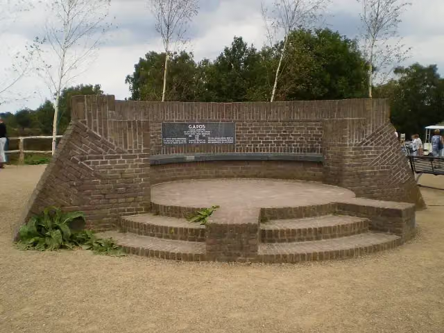 PosbankMemorial · 1.5 km from the route
- 2
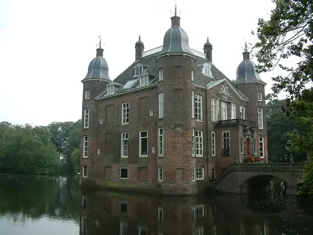 Kasteel BiljoenCastle · 5.5 km from the route
- 3
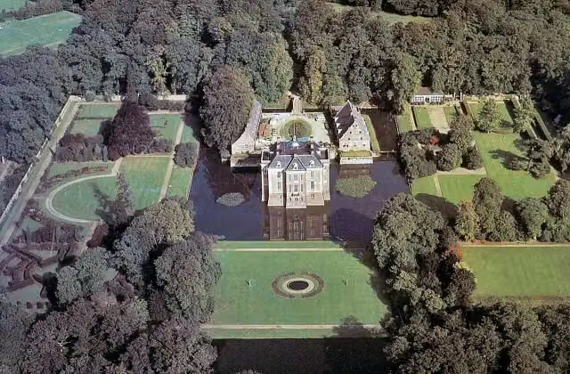 Kasteel MiddachtenCastle · 2.6 km from the route
- 4
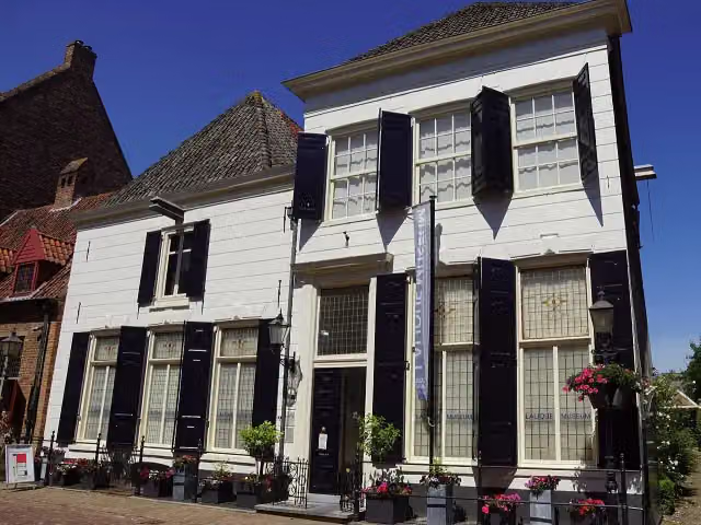 Lalique MuseumMuseum · 6.6 km from the route
- 5
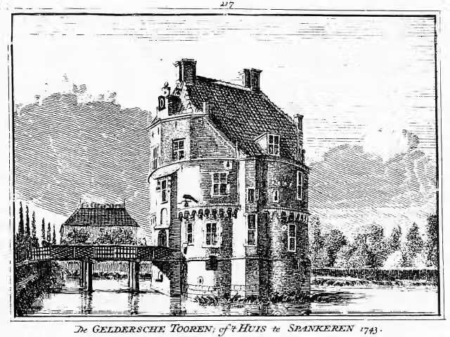 Gelderse TorenCastle · 6.8 km from the route
- 6
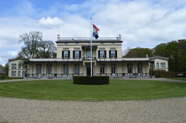 Koninklijk Tehuis voor Oud-Militairen en Museum BronbeekMuseum · 7.6 km from the route
- 7
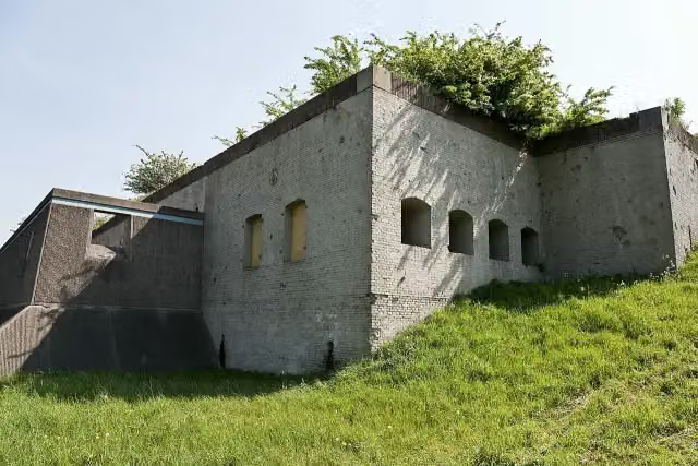 Fort WestervoortFort · 9.2 km from the route
- 8
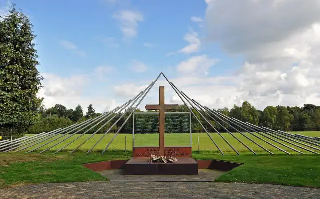 Monument Woeste HoeveMemorial · 9.5 km from the route
- 9
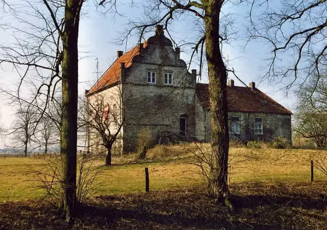 Huis te LathumCastle · 6 km from the route
- 10
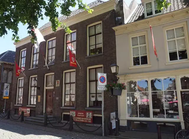 Streekmuseum De Roode ToorenMuseum · 6.6 km from the route
- 11
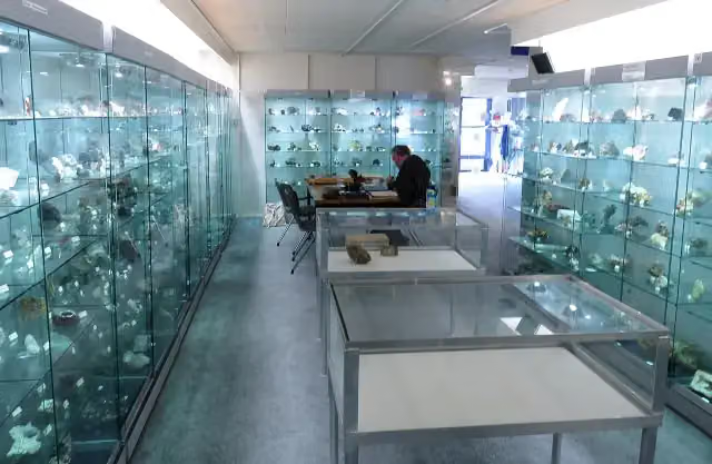 Gelders Geologisch MuseumMuseum · 6.3 km from the route
- 12
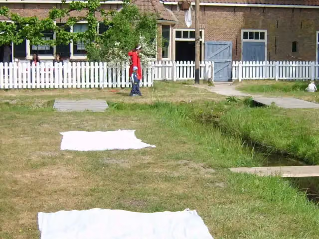 WasserijAttraction · 9.2 km from the route
- 13
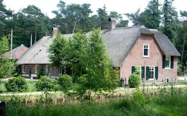 WoonboerderijAttraction · 9.4 km from the route
- 14
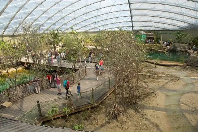 MangroveAttraction · 9.8 km from the route
- 15
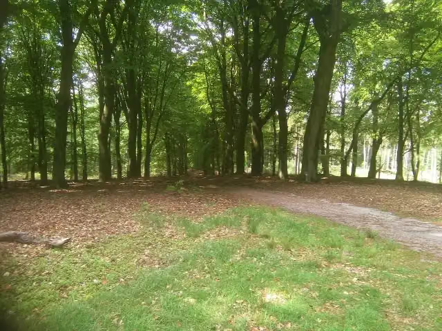 Prins WillembergViewpoint · 1.6 km from the route
- 16
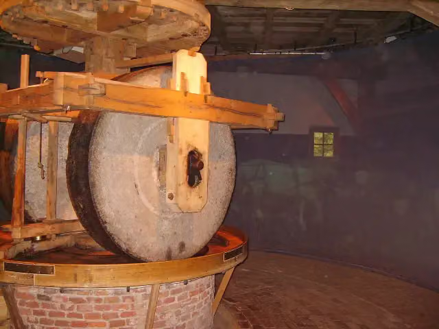 Ros-oliemolenAttraction · 9.6 km from the route
- 17
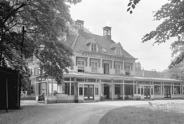 Hotel DullemondRuins · 5.1 km from the route
- 18
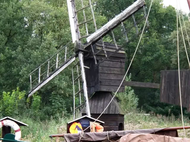 AanbrengertjeAttraction · 9.3 km from the route
- 19
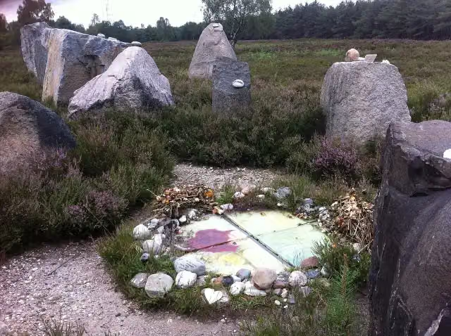 International Memorial for the Unknown ChildMemorial · 7.4 km from the route
- 20
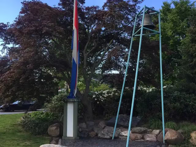 VillavijverMemorial · 6.1 km from the route
- 21
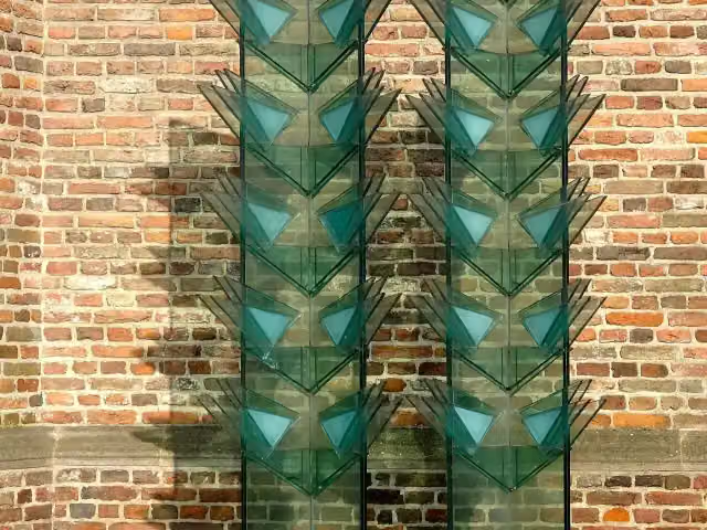 VredesmonumentMemorial · 6.6 km from the route
- 22
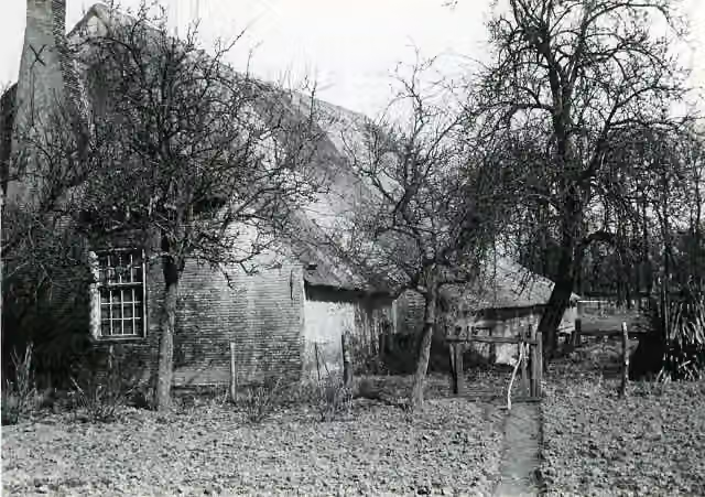 BoerderijAttraction · 9.4 km from the route
- 23
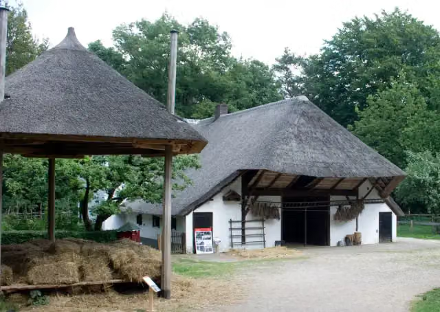 BoerderijAttraction · 9.5 km from the route
- 24
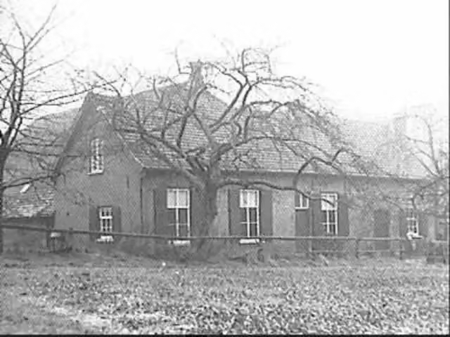 Ruïne HerikhuizenRuins · 3.1 km from the route
- 25
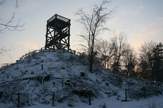 Emma PiramideObservation tower · 4.7 km from the route
Explore more
More mountain bike trails around Rheden
Frequently asked questions
How long is MTB Veluwezoom-afkortroutes?
MTB Veluwezoom-afkortroutes is 356 m long. Allow ± 5 min of riding: 12 km an hour, without breaks.
Is this route a loop?
No, the route starts and ends at different spots.
Where does this route start?
The route starts in Rheden.
How hard is this route?
Easy.
Are there toilets along this route?
No, there is no public toilet within 100 m of the route. Go before you start.
Can you fill up with water along this route?
No, there is no water point within 100 m of the route. Bring enough water.
Starting point
More routes from this place
Route data © OpenStreetMap contributors





