 Outdoor Pitstop
Cycle route · Nuremberg · Updated on 14 November 2026
Nürnberg-Lauf Nordrute Reichswald cycle route
Nürnberg-Lauf Nordrute Reichswald is a cycle route of 14 km from Nuremberg. Along the way you'll find 15 benches, 1 water point and 1 public toilet.
i
i
i
The route step by step
From start to finish, with what you pass along the way and the distance in between.
- 14 km
- ± 55 min
- ↑ 96 m · ↓ 85 m
- Easy
- From A to B
- Regional route
Start in Nuremberg
0 km397 m
Public toilet
397 m390 m · bench
Water point
787 m13.2 km · 14 benches
Finish
14 km
Longest stretch without a toilet: 13.6 kmBetween 397 m and 14 km there is no public toilet within 100 m of the route.
The route with the pitstops and sights within 100 m of it.
Elevation and terrain
- Up
- ↑ 96 m
- Down
- ↓ 85 m
- Highest point
- 377 m
- Lowest point
- 314 m
Nowhere steeper than 5%.
Elevation from Copernicus GLO-30 (European Union and ESA), smoothed.
produced using Copernicus WorldDEM-30 © DLR e.V. 2010-2014 and © Airbus Defence and Space GmbH 2014-2018 provided under COPERNICUS by the European Union and ESA; all rights reserved
Way types
14 km in total- Track: 11.4 km
- Street: 1.8 km
- Path: 550 m
- Road: 175 m
- Busy road: 100 m
Surfaces
14 km in total- Gravel: 10.5 km
- Asphalt: 2.6 km
- Unpaved: 650 m
- Unknown: 250 m
About the cycle route Nürnberg-Lauf Nordrute Reichswald
Updated on 14 November 2026, with data from OpenStreetMap, the AHN and Copernicus.
Where do you cycle?
Nürnberg-Lauf Nordrute Reichswald is a cycle route of 14 km that starts in Nuremberg. It does not end where it starts.
How hard is the route?
You climb 96 m in total and descend 85 m. Allow ± 55 min, without breaks. The level is easy.
What roads do you cycle on?
The longest part is track (11.4 km), street (1.8 km) and path (550 m). Of the surface, 10.5 km gravel and 2.6 km asphalt. For 250 m the surface is not known.
Pitstops along the way
Within 100 metres of the route there are 15 benches, 1 water point and 1 public toilet. You can fill your bottle after 787 m. The longest stretch without a toilet is 13.6 km. The Outdoor Pitstop app navigates you there.
Cycle routes nearby
6- Fünf-Flüsse-Radweg (Hauptweg)Hard · Circular ride293.2 km
- Paneuropa Route - part Germany 2Hard · From A to B292.4 km
- Burgenstraße Abschnitt 4Hard · From A to B159.6 km
- Jakobus Radpilgerweg Coburg - NürnbergModerate · From A to B45.4 km
- RegnitzRadweg KanalrouteHard · From A to B73.7 km
- [D11] Ostsee-Oberbayern 13 [Mittelfranken]Hard · From A to B106.5 km
Sights nearby
Within 10 km of the route, best known first.
- 1
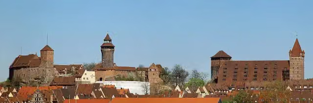 Imperial CastleAttraction · 4.3 km from the route
- 2
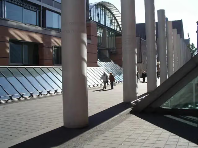 Germanisches NationalmuseumMuseum · 4.8 km from the route
- 3
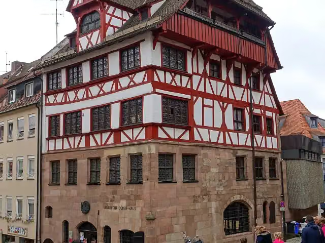 Albrecht Dürer's HouseMuseum · 4.5 km from the route
- 4
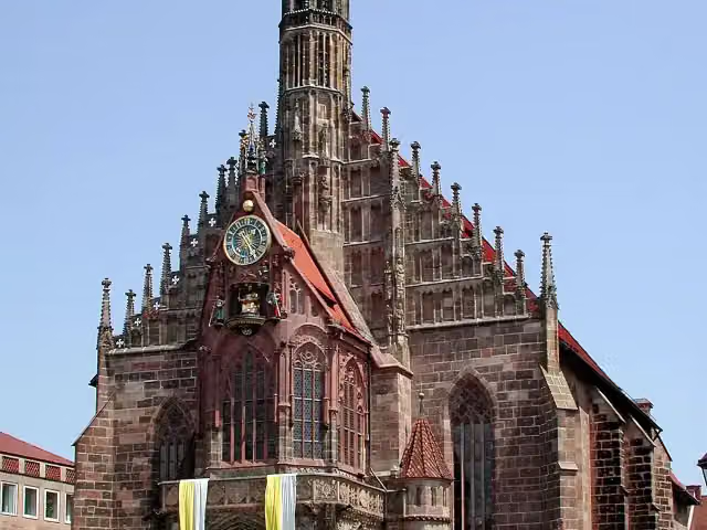 FrauenkircheAttraction · 4.3 km from the route
- 5
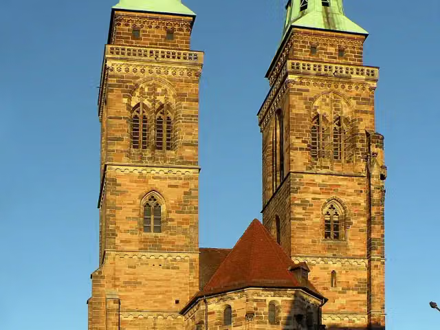 St. Sebald ChurchAttraction · 4.4 km from the route
- 6
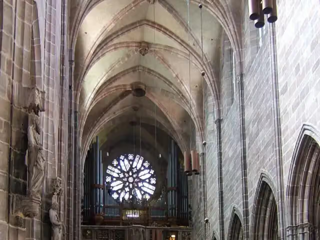 St. Lawrence ChurchAttraction · 4.4 km from the route
- 7
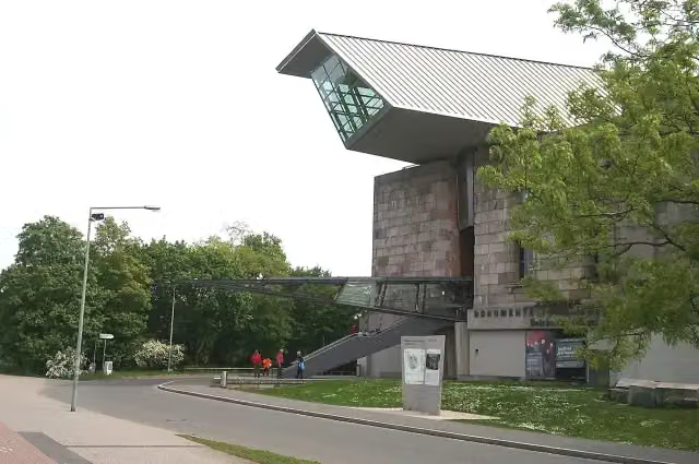 Documentation Center Nazi Party Rally GroundsMuseum · 4.2 km from the route
- 8
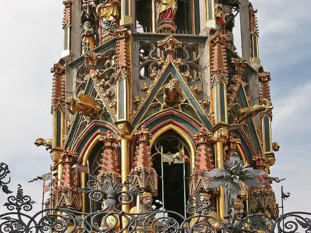 Beautiful FountainAttraction · 4.4 km from the route
- 9
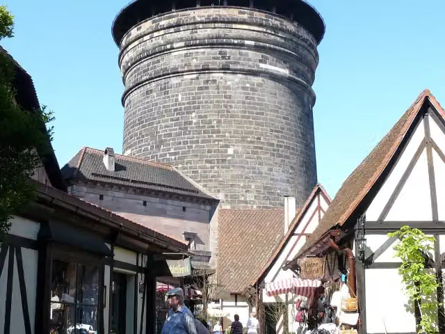 Craftmen's CourtyardAttraction · 4.5 km from the route
- 10
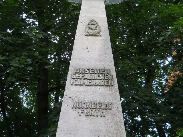 Pilot MonumentMemorial · 4.2 km from the route
- 11
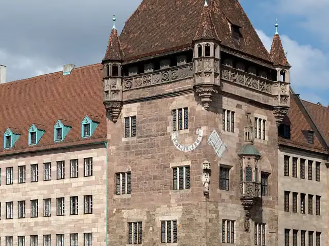 Nassauer HausAttraction · 4.5 km from the route
- 12
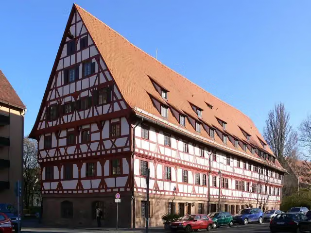 WeinstadelAttraction · 4.7 km from the route
- 13
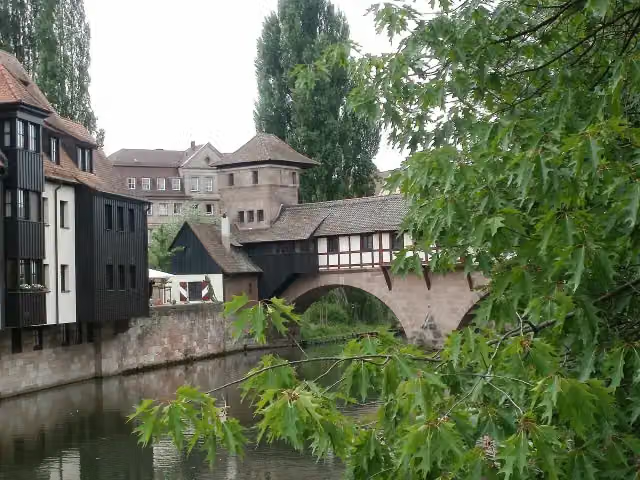 hangman's houseMuseum · 4.7 km from the route
- 14
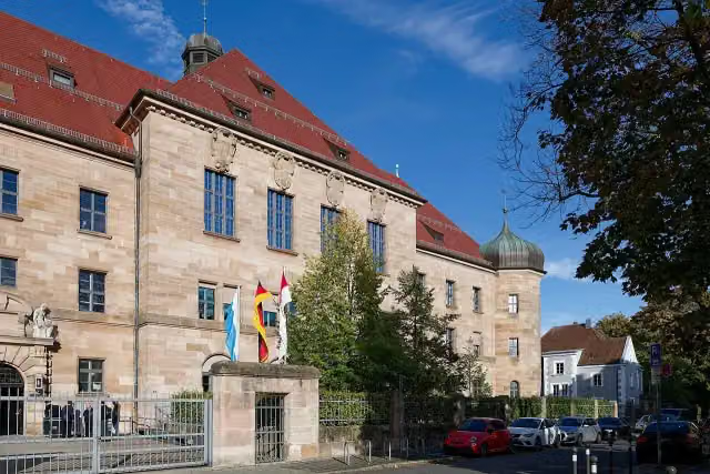 Memorium Nuremberg TrialsMuseum · 6.3 km from the route
- 15
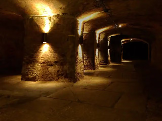 Historic Rock-cut CellarsAttraction · 4.4 km from the route
- 16
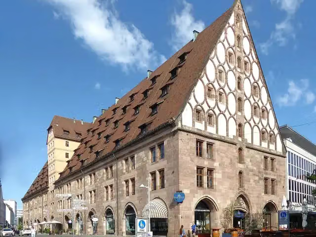 Former Customs HouseAttraction · 4.5 km from the route
- 17
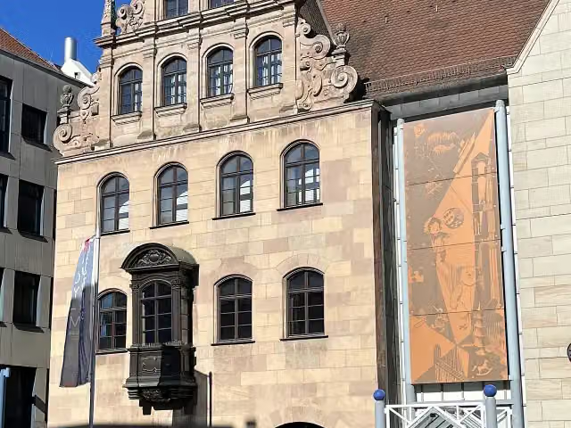 Toy Museum NurembergMuseum · 4.5 km from the route
- 18
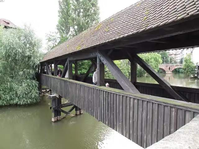 Hangman's BridgeAttraction · 4.7 km from the route
- 19
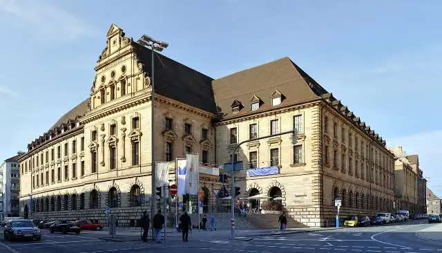 Verkehrsmuseum Nürnberg (DB Museum)Museum · 5 km from the route
- 20
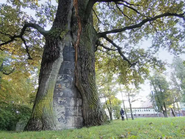 BärenbrunnenAttraction · 247 m from the route
- 21
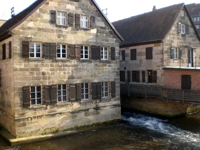 Industriemuseum LaufMuseum · 427 m from the route
- 22
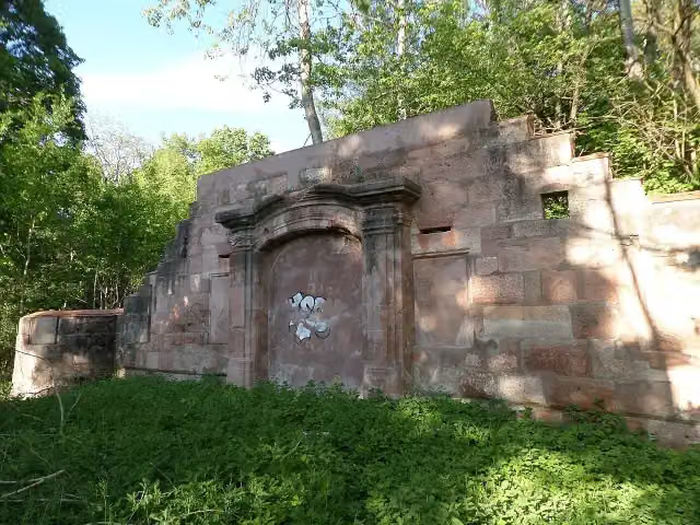 Ruine Schloss OberbürgCastle · 655 m from the route
- 23
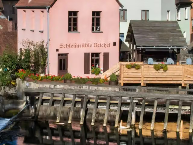 SchleifmühleAttraction · 661 m from the route
- 24
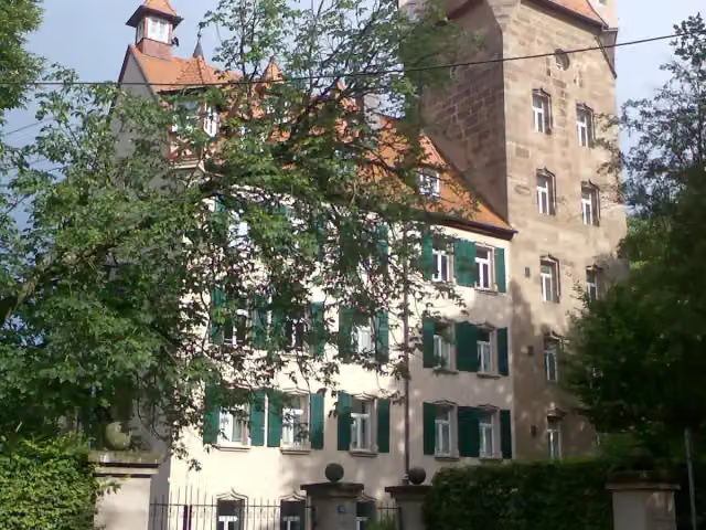 UnterbürgCastle · 743 m from the route
- 25
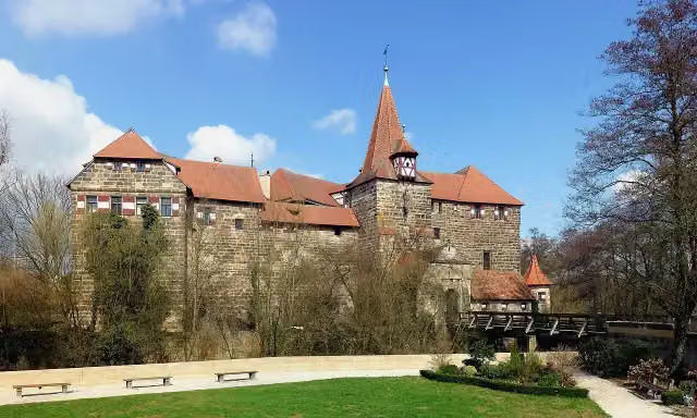 WenzelburgCastle · 772 m from the route
Explore more
More cycle routes around Nuremberg
Frequently asked questions
How long is Nürnberg-Lauf Nordrute Reichswald?
Nürnberg-Lauf Nordrute Reichswald is 14 km long. Allow ± 55 min of riding: 15 km an hour, without breaks.
Is this route a circular ride?
No, the route starts and ends at different spots.
Where does this route start?
The route starts in Nuremberg.
How hard is this route?
Easy, with 96 m of climbing.
Are there toilets along this route?
Yes, there are 1 public toilet within 100 m of the route. The longest stretch without a toilet is 13.6 km.
Can you fill up with water along this route?
Yes, there are 1 water point within 100 m of the route.
Can I download this route as a GPX file?
Yes. Sign in with your Outdoor Pitstop account and choose Download GPX at the top of this page: 10 routes a month for free, unlimited with Pro.
Starting point
More routes from this place
Route data © OpenStreetMap contributors





