 Outdoor Pitstop
Cycle route · Unna · Updated on 14 November 2026
Westfälische Salzroute cycle route
Westfälische Salzroute is a cycle route of 88.1 km from Unna. Along the way you'll find 364 benches, 3 water fountains and refill points, 11 public toilets and 1 bike pump.
i
i
i
The route step by step
From start to finish, with what you pass along the way and the distance in between.
- 88.1 km
- ± 5:50 h
- ↑ 191 m · ↓ 172 m
- Hard
- From A to B
- Regional route
Start in Unna
0 km998 m · 42 benches
2 public toilets
998 m267 m
Public toilet
1.3 km813 m · 20 benches

Hellwegmuseum and 1 more
2.1 kmBurg Unna
16.9 km · 45 benches
Public toilet
19 km361 m · 5 benches
Public toilet
19.3 km3.7 km · 15 benches
Haus Lohe
23.1 kmCastle
6 km · 16 benches
Orgel von St. Andreas
29.1 kmAttraction
8.5 km · 4 benches
Public toilet
37.6 km400 m · 44 benches
Kattenturm
38 kmAttraction
551 m · 14 benches
Burghofmuseum
38.5 kmMuseum
361 m
Sankt Patrokli-Dom and 1 more
38.9 kmKunstmuseum Wilhelm-Morgner-Haus and water point
173 m
Sankt Petri Kirche
39.1 kmAttraction
226 m · 5 benches
Public toilet and water point
39.3 km170 m · 6 benches
Wippe
39.5 km2 public toilets
652 m · 17 benches
Osthofentor
40.1 kmAttraction
21.1 km · 46 benches
Schloss Erwitte
61.2 kmCastle
2.8 km · 31 benches
Public toilet, water point and bike pump
64 km13.3 km · 23 benches
Public toilet
77.3 km10.7 km · 31 benches
Finish
88.1 kmAt the finish: Gradierwerk.
Longest stretch without a toilet: 24.5 kmBetween 39.5 km and 64 km there is no public toilet within 100 m of the route.
The route with the pitstops and sights within 100 m of it.
13 sights along the way
In the order you pass them. With the Outdoor Pitstop app you hear their story on the spot. 5 more along the route are on the map.

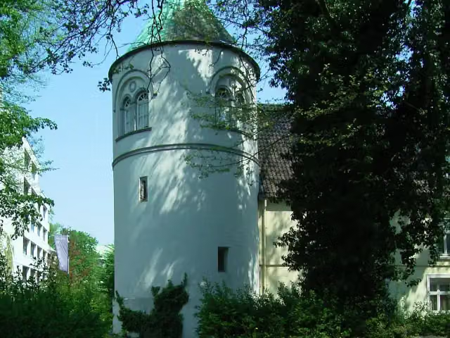
Museum · after 2.1 km
i
Photo: User Smial on de.wikipedia · Wikimedia Commons · CC BY-SA 2.0 deView the photo on Wikimedia CommonsCastle · after 2.1 km
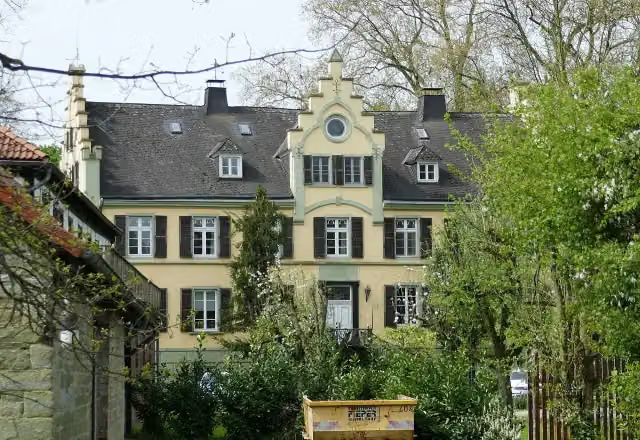
Castle · after 23.1 km
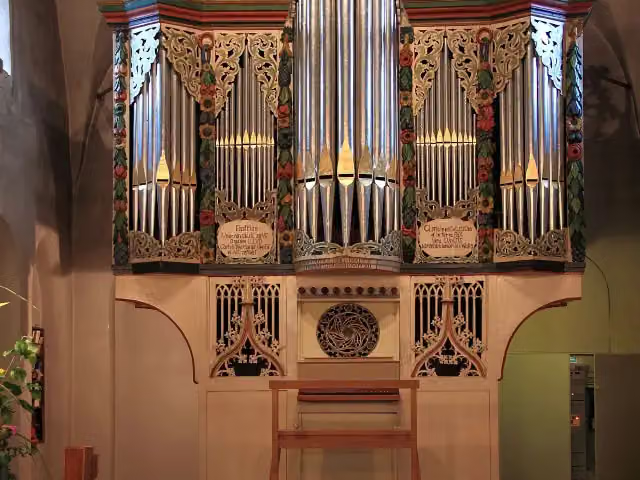
i
Photo: Dennis Wubs · Wikimedia Commons · CC BY-SA 3.0View the photo on Wikimedia CommonsAttraction · after 29.1 km
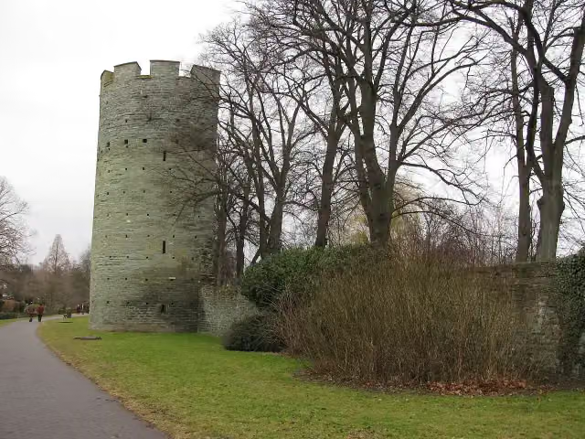
Attraction · after 38 km
i
Photo: Stephan Hense · Wikimedia Commons · CC BY-SA 3.0View the photo on Wikimedia CommonsMuseum · after 38.5 km
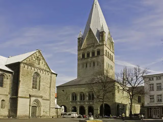
i
Photo: Wikimedia Commons · Wikimedia Commons · CC BY-SA 3.0View the photo on Wikimedia CommonsAttraction · after 38.9 km
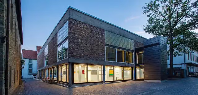
i
Photo: Fotograf Gero Sliwa, © Stiftung Konzeptuelle Kunst · Wikimedia Commons · CC BY-SA 3.0 deView the photo on Wikimedia CommonsMuseum · after 38.9 km
Elevation and terrain
- Up
- ↑ 191 m
- Down
- ↓ 172 m
- Highest point
- 122 m
- Lowest point
- 82 m
Nowhere steeper than 5%.
Elevation from Copernicus GLO-30 (European Union and ESA), smoothed.
produced using Copernicus WorldDEM-30 © DLR e.V. 2010-2014 and © Airbus Defence and Space GmbH 2014-2018 provided under COPERNICUS by the European Union and ESA; all rights reserved
Way types
88.1 km in total- Road: 32.6 km
- Street: 26.6 km
- Track: 13 km
- Path: 7.5 km
- Busy road: 4.5 km
- Footpath (walk your bike): 3.5 km
- Cycle path: 175 m
Surfaces
88.1 km in total- Asphalt: 69 km
- Paved: 8.6 km
- Gravel: 1.9 km
- Unpaved: 925 m
- Unknown: 7.4 km
About the cycle route Westfälische Salzroute
Updated on 14 November 2026, with data from OpenStreetMap, the AHN and Copernicus.
Where do you cycle?
Westfälische Salzroute is a cycle route of 88.1 km that starts in Unna. It does not end where it starts. Along the way you pass Hellwegmuseum (after 2.1 km), Burg Unna (after 2.1 km) and Haus Lohe (after 23.1 km).
How hard is the route?
You climb 191 m in total and descend 172 m. Allow ± 5:50 h, without breaks. The level is hard.
What roads do you cycle on?
The longest part is road (32.6 km), street (26.6 km) and track (13 km). Of the surface, 69 km asphalt and 8.6 km paved. For 7.4 km the surface is not known.
Pitstops along the way
Within 100 metres of the route there are 364 benches, 3 water fountains and refill points, 11 public toilets and 1 bike pump. You can fill your bottle after 39 km, after 39.3 km and after 64 km. The longest stretch without a toilet is 24.5 km. The Outdoor Pitstop app navigates you there.
Cycle routes nearby
6- Rundkurs RuhrgebietHard · Circular ride322.4 km
- Hellweg-RouteHard · From A to B200.7 km
- AlleenradwegEasy · From A to B17.6 km
- Radverkehrsnetz NRW, Stadt DortmundHard · From A to B152.4 km
- Deutsche Fußball Route NRW (Ost)Hard · From A to B269.9 km
- Deutsche Fußball Route NRW (Mitte)Hard · From A to B320.2 km
Sights nearby
Within 10 km of the route, best known first.
- 1
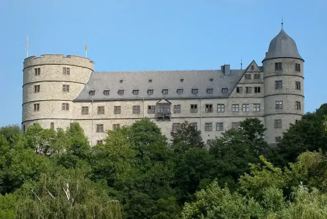 WewelsburgCastle · 6.2 km from the route
- 2
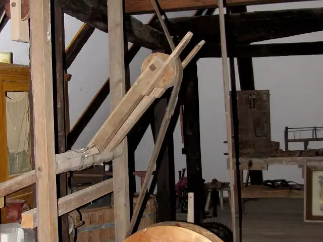 Schäferkämper WatermillMuseum · 717 m from the route
- 3
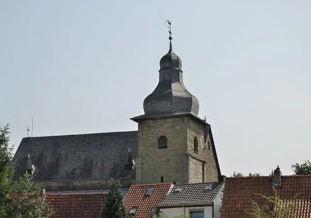 Sankt Maria zur HöheAttraction · 139 m from the route
- 4
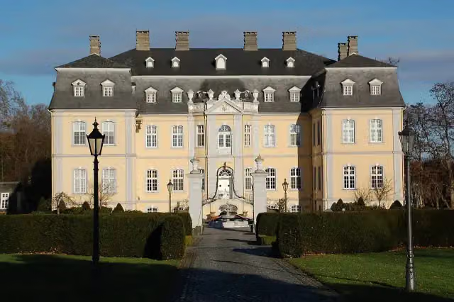 Schloß SchwarzenrabenCastle · 151 m from the route
- 5
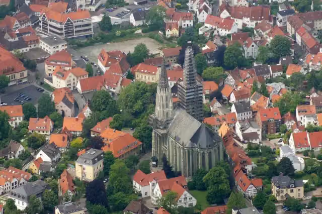 Sankt Maria zur WieseAttraction · 179 m from the route
- 6
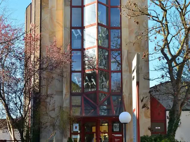 Museum Forum der VölkerMuseum · 219 m from the route
- 7
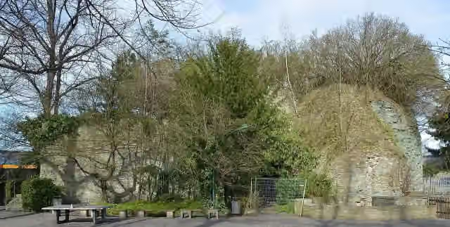 Schlossruine WerlCastle · 374 m from the route
- 8
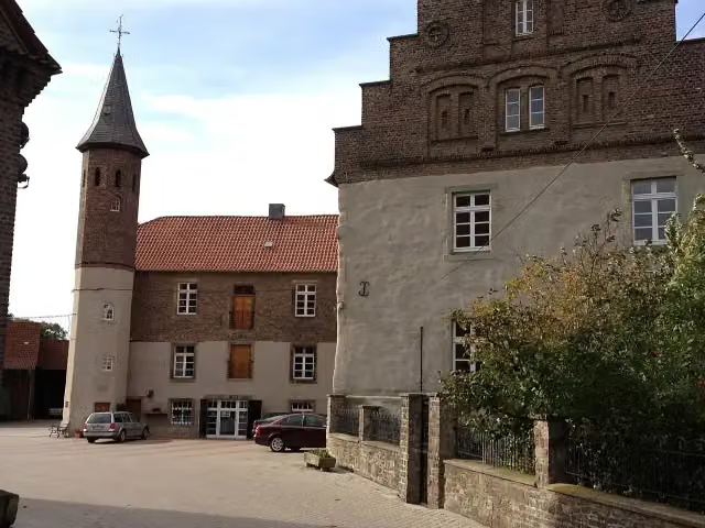 Haus WesthemmerdeCastle · 835 m from the route
- 9
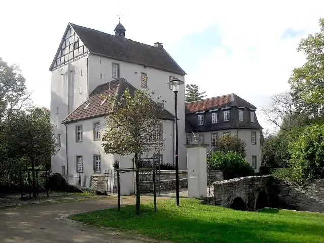 DreckburgCastle · 1.3 km from the route
- 10
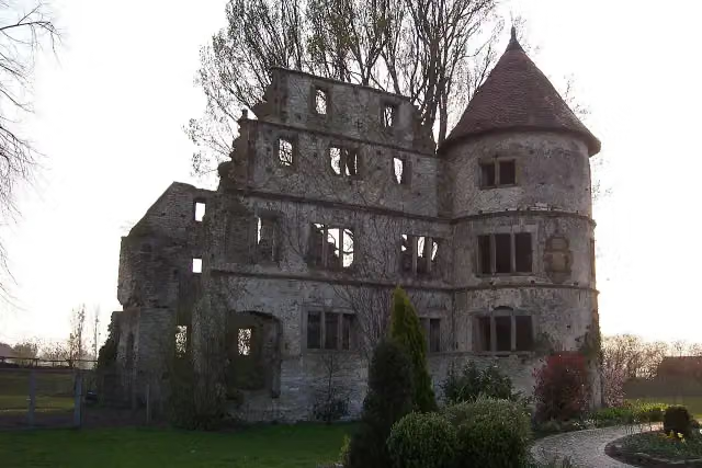 Burgruine VernaburgCastle · 3.1 km from the route
- 11
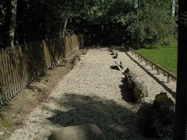 Galeriegrab von HiddingsenArchaeological site · 3.7 km from the route
- 12
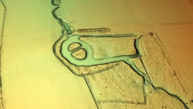 Burg BrockhofCastle · 3.8 km from the route
- 13
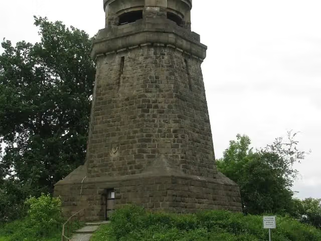 Bismarckturm UnnaObservation tower · 3.9 km from the route
- 14
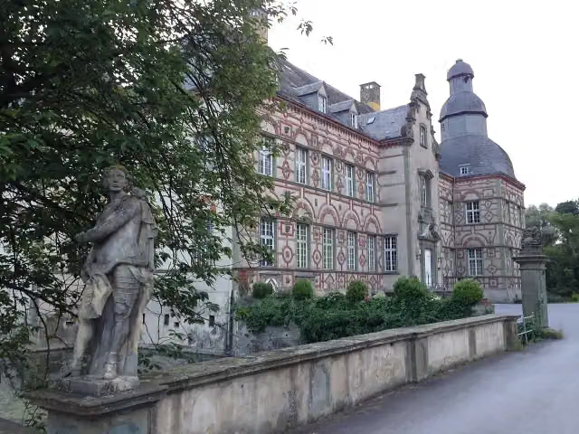 Schloß OverhagenCastle · 4.2 km from the route
- 15
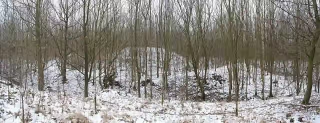 RuinsRuins · 4.3 km from the route
- 16
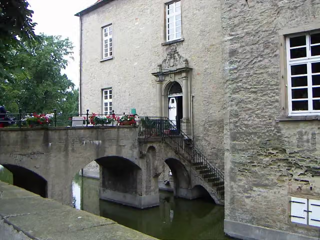 Haus HeerenCastle · 4.3 km from the route
- 17
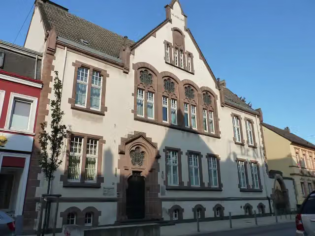 Haus der StadtgeschichteMuseum · 4.5 km from the route
- 18
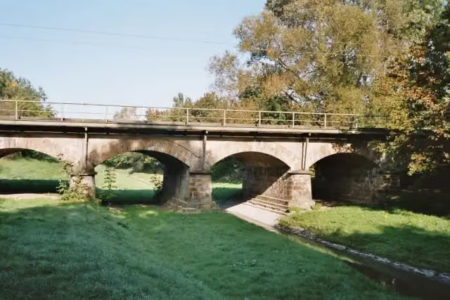 Fünf-Bogen-BrückeAttraction · 4.6 km from the route
- 19
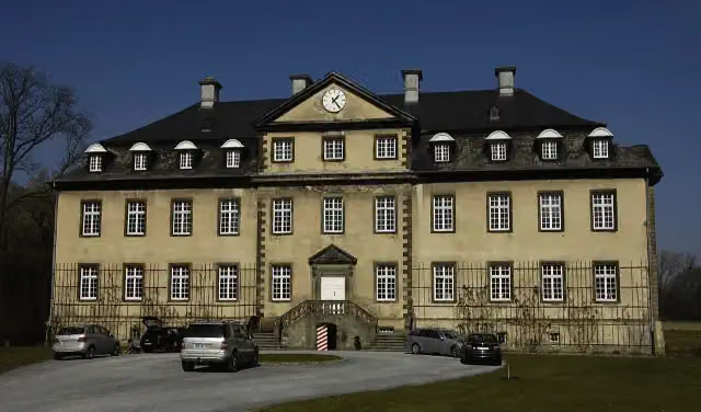 Schloss HerringhausenCastle · 5.5 km from the route
- 20
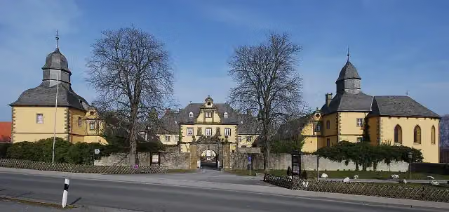 Schloss EringerfeldCastle · 5.5 km from the route
- 21
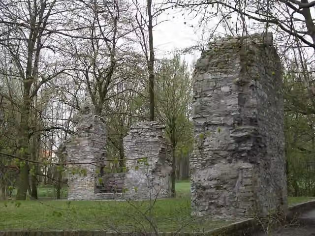 Burgruine LipperodeRuins · 5.6 km from the route
- 22
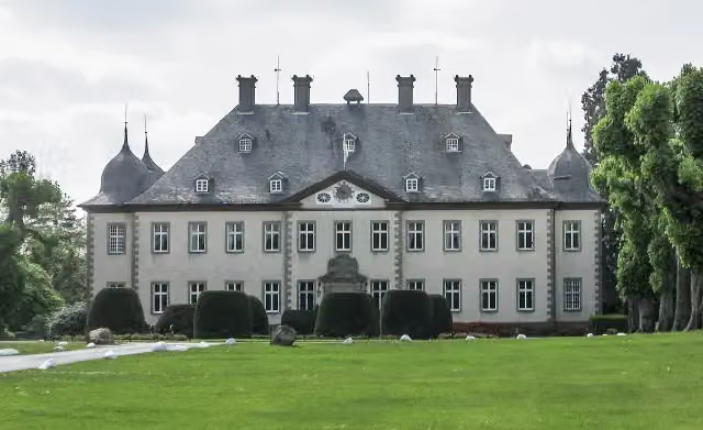 Schloss ErpernburgCastle · 5.7 km from the route
- 23
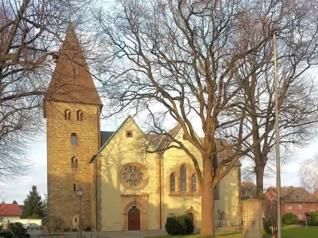 MargaretenkircheAttraction · 6 km from the route
- 24
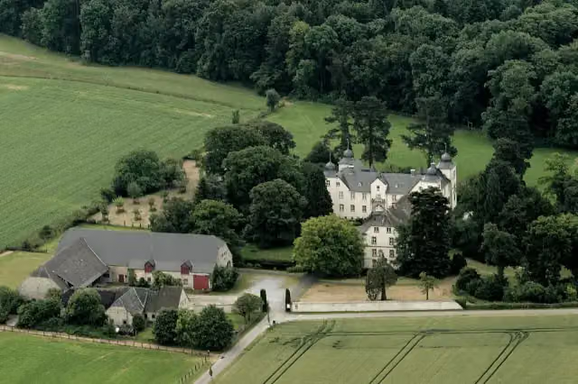 Schloß EggeringhausenCastle · 6 km from the route
- 25
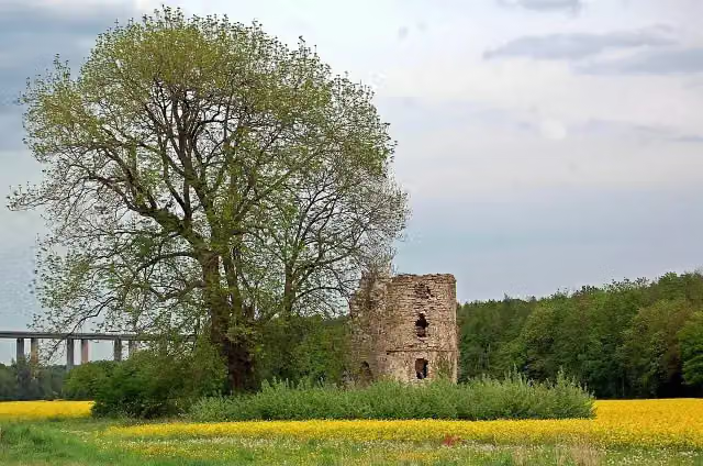 Ruine NiederburgRuins · 6.2 km from the route
Explore more
More cycle routes around Unna
Frequently asked questions
How long is Westfälische Salzroute?
Westfälische Salzroute is 88.1 km long. Allow ± 5:50 h of riding: 15 km an hour, without breaks.
Is this route a circular ride?
No, the route starts and ends at different spots.
Where does this route start?
The route starts in Unna.
How hard is this route?
Hard, with 191 m of climbing.
Are there toilets along this route?
Yes, there are 11 public toilets within 100 m of the route. The longest stretch without a toilet is 24.5 km.
Can you fill up with water along this route?
Yes, there are 3 water fountains and refill points within 100 m of the route.
What is there to see along this route?
Along the way you pass Hellwegmuseum, Burg Unna and Haus Lohe.
Can I download this route as a GPX file?
Yes. Sign in with your Outdoor Pitstop account and choose Download GPX at the top of this page: 10 routes a month for free, unlimited with Pro.
Starting point
More routes from this place
Route data © OpenStreetMap contributors





