 Outdoor Pitstop
Cycle route · Dortmund · Updated on 14 November 2026
Hellweg-Route cycle route
Hellweg-Route is a cycle route of 200.7 km from Dortmund. Along the way you'll find 611 benches, 6 water fountains and refill points, 25 public toilets, 3 bike pumps and 4 honesty boxes and farm vending machines.
i
i
The route step by step
From start to finish, with what you pass along the way and the distance in between.
- 200.7 km
- ± 13:25 h
- ↑ 629 m · ↓ 635 m
- Hard
- From A to B
- Regional route
Start in Dortmund
0 km6.1 km · 31 benches
Bike pump
6.1 km624 m

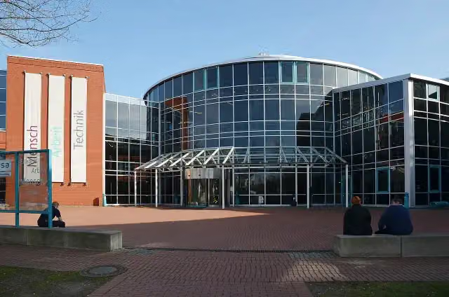
DASA Arbeitswelt Ausstellung
6.7 km2 public toilets
161 m
Public toilet
6.9 km3.2 km · 10 benches
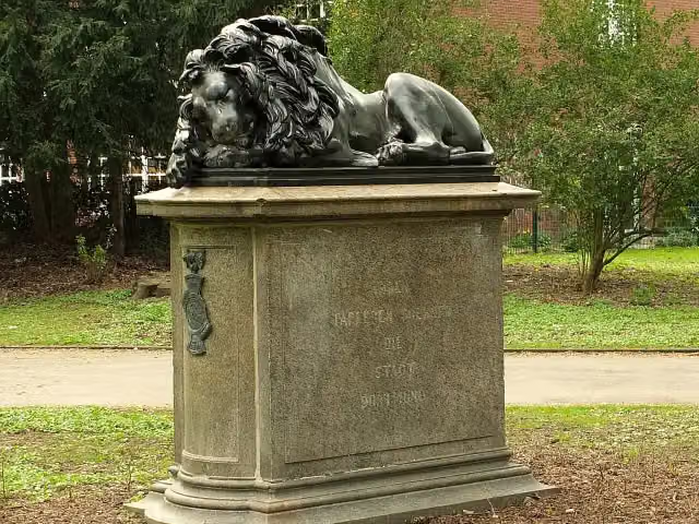
Löwendenkmal and 1 more
10.1 kmGedenkstein für den ehemaligen jüdischen Friedhof
714 m · 10 benches
2 water fountains and refill points
10.8 km416 m
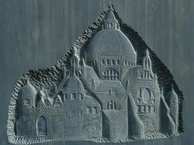
Mahnmal für die Alte Synagoge
11.2 kmMemorial
579 m · 32 benches
Kindermuseum Adlerturm
11.8 kmMuseum
454 m
Baukunstarchiv NRW
12.2 kmPublic toilet
754 m · bench
2 water fountains and refill points
13 km184 m · bench
Public toilet
13.2 km233 m
Water point
13.4 km204 m · bench
Public toilet
13.6 km4.7 km · 36 benches
Mahnmal für Thomas Goretzky
18.2 kmMemorial
11.5 km · 40 benches
Hellwegmuseum
29.7 kmPublic toilet
170 m · 9 benches
Burg Unna
29.9 kmCastle
16.7 km · 24 benches
Schlossruine Werl
46.6 kmCastle
3.8 km · 13 benches
Haus Lohe
50.4 kmCastle
6 km · 16 benches
Orgel von St. Andreas
56.4 kmAttraction
8.3 km · bench
Public toilet
64.7 km908 m · bench
Bike pump
65.6 km1.5 km · 7 benches
Public toilet
67.1 km324 m
Public toilet
67.4 km20.4 km · 40 benches
Schloss Erwitte
87.8 kmCastle
2.8 km · 31 benches
Public toilet, water point and bike pump
90.6 km12.2 km · 21 benches
Public toilet
102.8 km7.9 km · 6 benches
Deutsches Polizeimuseum
110.7 kmMuseum
9.3 km · 25 benches
Public toilet
120 km3.5 km · 9 benches
Honesty box
123.5 km1.6 km · 11 benches
Public toilet
125.1 km
Show the other 13 steps
455 m
Public toilet
125.5 km407 m · 22 benches
Public toilet and honesty box
125.9 km411 m · 22 benches
Public toilet
126.4 km300 m · bench
Public toilet
126.7 km1.2 km · 9 benches
2 public toilets
127.9 km14.6 km · 49 benches
Public toilet
142.4 km8.4 km · 11 benches
Wasserschloss Heerse
150.8 kmPublic toilet
9.7 km · 34 benches
Public toilet
160.5 km8 km · 17 benches
Honesty box
168.5 km18.9 km · 25 benches
Public toilet
187.4 km8 km · 19 benches
Honesty box
195.4 km4.3 km · 17 benches
Public toilet
199.7 km965 m · 9 benches
Finish
200.7 km
Longest stretch without a toilet: 34.9 kmBetween 29.7 km and 64.7 km there is no public toilet within 100 m of the route.
The route with the pitstops and sights within 100 m of it.
15 sights along the way
In the order you pass them. With the Outdoor Pitstop app you hear their story on the spot. 7 more along the route are on the map.
i
Photo: Malchen53 · Wikimedia Commons · CC BY-SA 3.0View the photo on Wikimedia CommonsMuseum · after 6.7 km
i
Photo: Euku · Wikimedia Commons · CC BY-SA 3.0View the photo on Wikimedia CommonsMemorial · after 10.1 km

Memorial · after 10.2 km
i
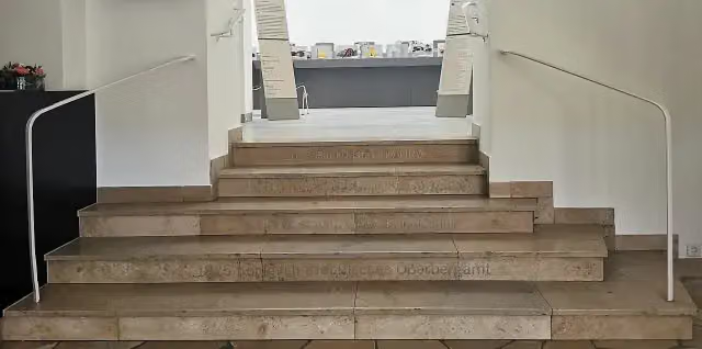
Photo: M Bigge · Wikimedia Commons · CC BY-SA 3.0View the photo on Wikimedia CommonsMemorial · after 11.2 km
Museum · after 11.8 km
i
Photo: StagiaireMGIMO · Wikimedia Commons · CC BY-SA 4.0View the photo on Wikimedia CommonsMuseum · after 12.2 km
Memorial · after 18.2 km
Museum · after 29.9 km
Elevation and terrain
- Up
- ↑ 629 m
- Down
- ↓ 635 m
- Highest point
- 371 m
- Lowest point
- 82 m
- 5-10% slope · 1 km
Elevation from Copernicus GLO-30 (European Union and ESA), smoothed.
produced using Copernicus WorldDEM-30 © DLR e.V. 2010-2014 and © Airbus Defence and Space GmbH 2014-2018 provided under COPERNICUS by the European Union and ESA; all rights reserved
Way types
200.7 km in total- Road: 57.4 km
- Street: 47.9 km
- Track: 45.2 km
- Path: 31.2 km
- Busy road: 14 km
- Cycle path: 3.9 km
- Footpath (walk your bike): 500 m
- Unknown: 75 m
Surfaces
200.7 km in total- Asphalt: 180 km
- Paved: 9.3 km
- Gravel: 3.9 km
- Unpaved: 50 m
- Unknown: 6.8 km
About the cycle route Hellweg-Route
Updated on 14 November 2026, with data from OpenStreetMap, the AHN and Copernicus.
Where do you cycle?
Hellweg-Route is a cycle route of 200.7 km that starts in Dortmund. It does not end where it starts. You start in Dortmund and finish in Höxter. Along the way you pass DASA Arbeitswelt Ausstellung (after 6.7 km), Löwendenkmal (after 10.1 km) and Gedenkstein für den ehemaligen jüdischen Friedhof (after 10.2 km).
How hard is the route?
You climb 629 m in total and descend 635 m. Allow ± 13:25 h, without breaks. The level is hard.
What roads do you cycle on?
The longest part is road (57.4 km), street (47.9 km) and track (45.2 km). Of the surface, 180 km asphalt and 9.3 km paved. For 6.8 km the surface is not known.
Pitstops along the way
Within 100 metres of the route there are 611 benches, 6 water fountains and refill points, 25 public toilets, 3 bike pumps and 4 honesty boxes and farm vending machines. You can fill your bottle after 10.8 km, after 13 km, after 13.4 km and after 90.6 km. The longest stretch without a toilet is 34.9 km. The Outdoor Pitstop app navigates you there.
Cycle routes nearby
6Sights nearby
Within 10 km of the route, best known first.
- 1
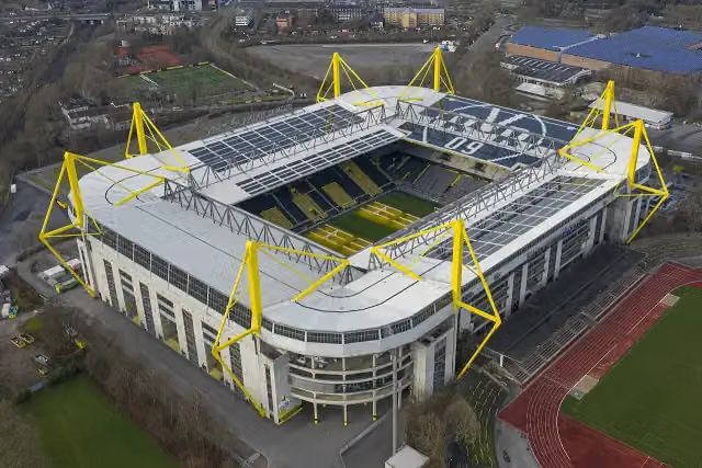 SIGNAL IDUNA PARKAttraction · 1 km from the route
- 2
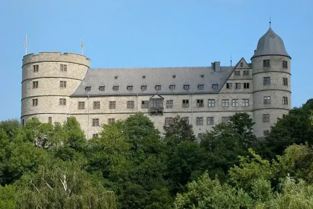 WewelsburgCastle · 7.9 km from the route
- 3
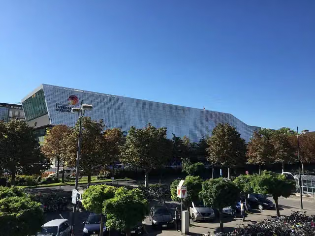 Deutsches FußballmuseumMuseum · 359 m from the route
- 4
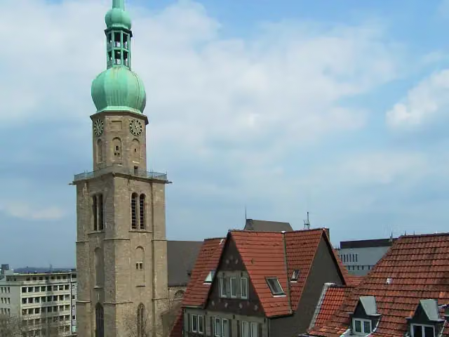 Sankt Reinoldi-KircheAttraction · 393 m from the route
- 5
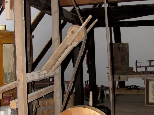 Schäferkämper WatermillMuseum · 718 m from the route
- 6
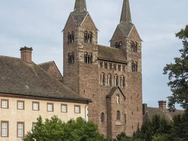 Abteikirche St. Stephanus und VitusAttraction · 2.3 km from the route
- 7
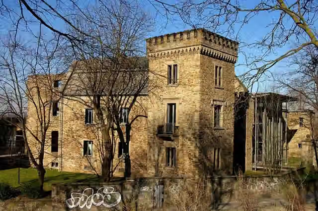 House WittenCastle · 5.9 km from the route
- 8
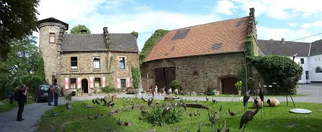 Castle SteinhausenCastle · 6.4 km from the route
- 9
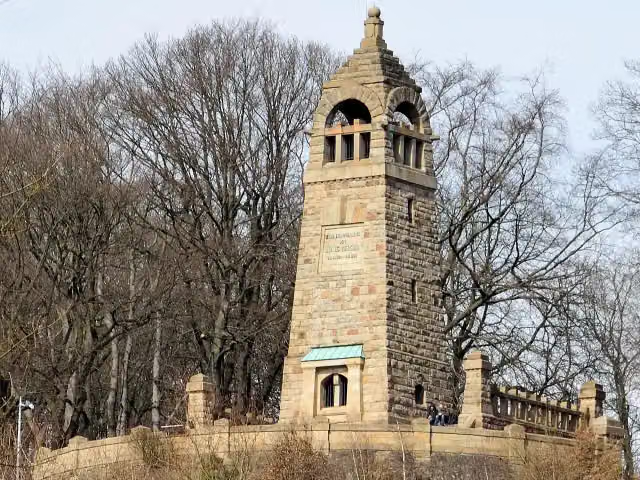 Berger-DenkmalMemorial · 6.4 km from the route
- 10
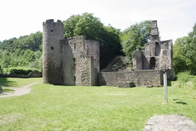 Hardenstein CastleRuins · 7.8 km from the route
- 11
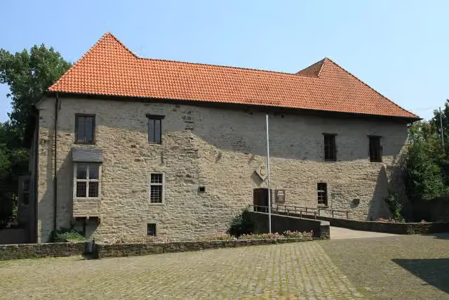 House HerbedeCastle · 7.9 km from the route
- 12
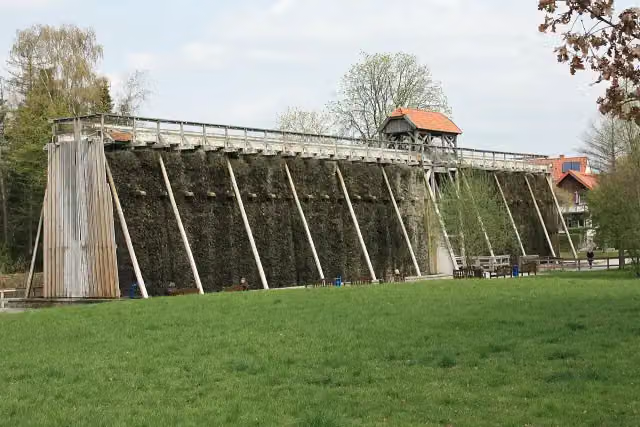 GradierwerkAttraction · 124 m from the route
- 13
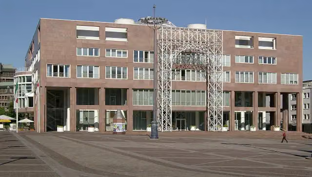 RathausAttraction · 171 m from the route
- 14
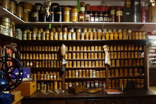 Apotheken-MuseumMuseum · 215 m from the route
- 15
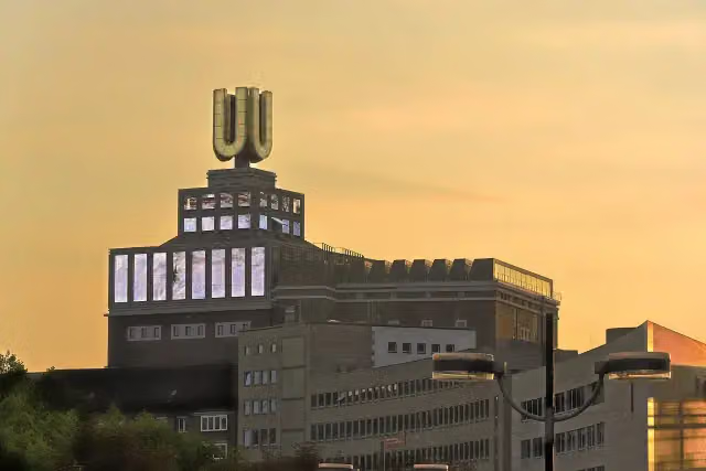 Dortmunder U – Zentrum für Kunst und KreativitätMuseum · 220 m from the route
- 16
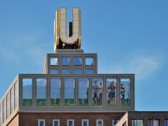 Museum OstwallMuseum · 233 m from the route
- 17
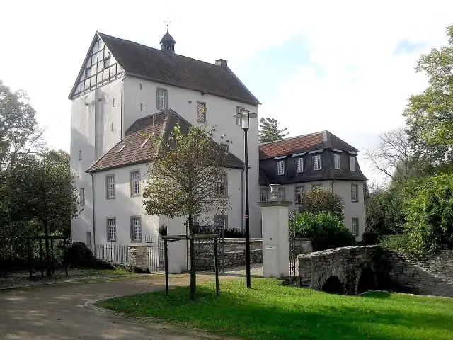 DreckburgCastle · 256 m from the route
- 18
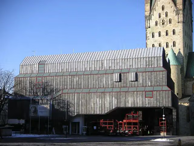 DiözesanmuseumMuseum · 329 m from the route
- 19
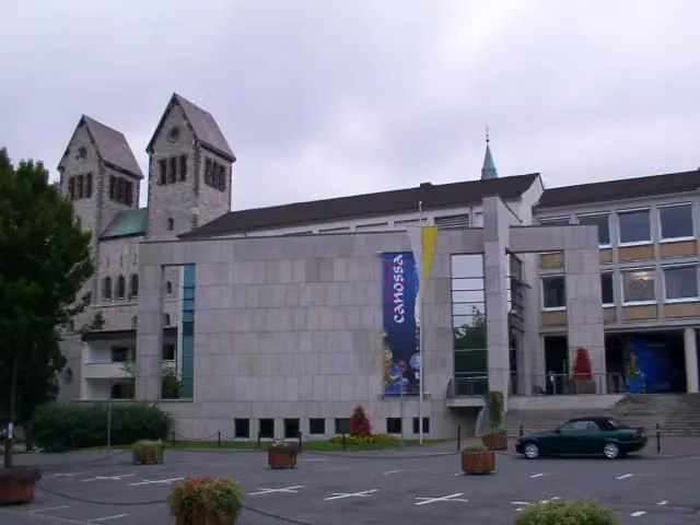 StadtmuseumMuseum · 342 m from the route
- 20
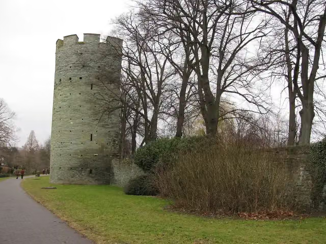 KattenturmAttraction · 382 m from the route
- 21
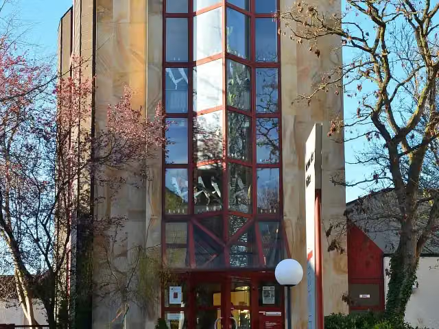 Museum Forum der VölkerMuseum · 401 m from the route
- 22
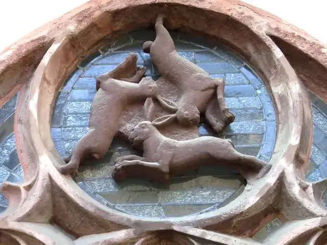 DreihasenfensterAttraction · 430 m from the route
- 23
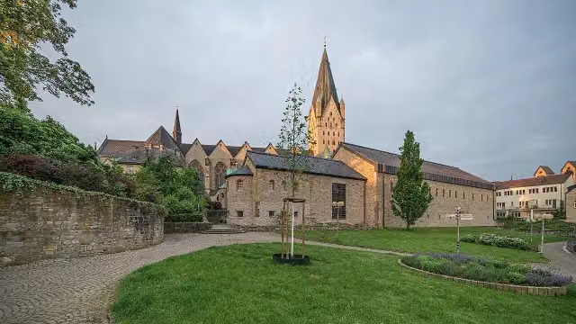 Museum in der KaiserpfalzMuseum · 433 m from the route
- 24
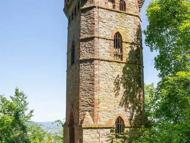 RodeneckturmObservation tower · 494 m from the route
- 25
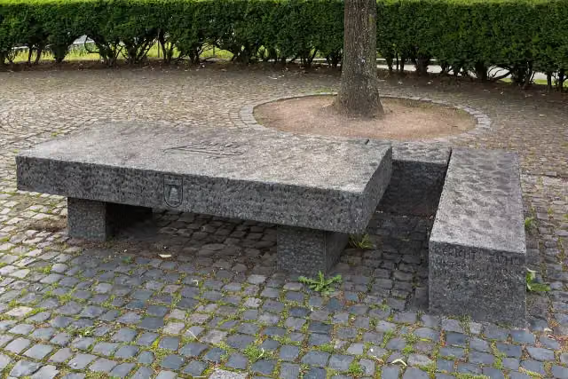 Femlinde mit FreistuhlMemorial · 543 m from the route
Explore more
More cycle routes around Dortmund
Frequently asked questions
How long is Hellweg-Route?
Hellweg-Route is 200.7 km long. Allow ± 13:25 h of riding: 15 km an hour, without breaks.
Is this route a circular ride?
No, the route runs from Dortmund to Höxter.
Where does this route start?
The route starts in Dortmund.
How hard is this route?
Hard, with 629 m of climbing.
Are there toilets along this route?
Yes, there are 25 public toilets within 100 m of the route. The longest stretch without a toilet is 34.9 km.
Can you fill up with water along this route?
Yes, there are 6 water fountains and refill points within 100 m of the route.
What is there to see along this route?
Along the way you pass DASA Arbeitswelt Ausstellung, Löwendenkmal and Gedenkstein für den ehemaligen jüdischen Friedhof.
Can I download this route as a GPX file?
Yes. Sign in with your Outdoor Pitstop account and choose Download GPX at the top of this page: 10 routes a month for free, unlimited with Pro.
Starting point
More routes from this place
Route data © OpenStreetMap contributors





