 Outdoor Pitstop
Cycle route · Eindhoven · Updated on 5 November 2026
Rondje Eindhoven - Hoofdroute cycle route
Rondje Eindhoven - Hoofdroute is a cycle route of 54.2 km from Eindhoven that starts and ends at the same spot. Along the way: 485 benches and picnic tables, 1 water point, 1 public toilet and 2 honesty boxes and farm vending machines.
i
i
i
The route step by step
From start to finish, with what you pass along the way and the distance in between.
- 54.2 km
- ± 3:35 h
- ↑ 16 m · ↓ 16 m
- Moderate
- Circular ride
- Local route
Start in Eindhoven
0 km4.4 km · 18 benches
Food stand
4.4 km1 km
Food stand
5.4 km24 km · 272 benches

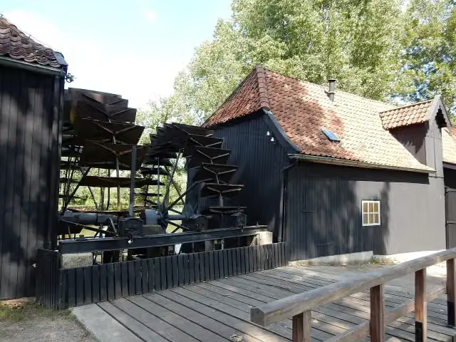
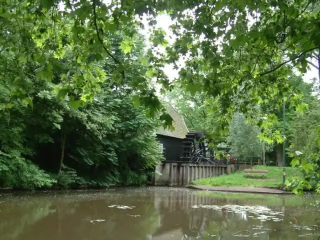
Collse Watermolen
29.4 kmAttraction
10.3 km · 36 benches
Public toilet
39.8 km12.3 km · 136 benches
Water point
52.1 km2.1 km · 23 benches
Back at the start
54.2 km
Longest stretch without a toilet: 39.8 kmBetween 0 km and 39.8 km there is no public toilet within 100 m of the route.
The route with the pitstops and sights within 100 m of it.
1 sight along the way
In the order you pass them. With the Outdoor Pitstop app you hear their story on the spot.
Collse Watermolen
Attraction · after 29.4 km
Elevation and terrain
- Up
- ↑ 16 m
- Down
- ↓ 16 m
- Highest point
- 22 m
- Lowest point
- 14 m
Nowhere steeper than 5%.
Elevation from AHN (Rijkswaterstaat), smoothed.
Way types
54.2 km in total- Cycle path: 36.1 km
- Road: 11.6 km
- Street: 6.4 km
- Path: 50 m
Surfaces
54.2 km in total- Asphalt: 40.9 km
- Paved: 5.7 km
- Unknown: 7.5 km
About the cycle route Rondje Eindhoven - Hoofdroute
Updated on 5 November 2026, with data from OpenStreetMap and the AHN.
Where do you cycle?
Rondje Eindhoven - Hoofdroute is a circular ride of 54.2 km from Eindhoven: it starts and ends in the same place. Along the way you pass Collse Watermolen (after 29.4 km).
How hard is the route?
The route is almost flat. You climb 16 m in total and descend 16 m. Allow ± 3:35 h, without breaks. The level is moderate.
What roads do you cycle on?
The longest part is cycle path (36.1 km), road (11.6 km) and street (6.4 km). Of the surface, 40.9 km asphalt and 5.7 km paved. For 7.5 km the surface is not known.
Pitstops along the way
Within 100 metres of the route there are 485 benches and picnic tables, 1 water point, 1 public toilet and 2 honesty boxes and farm vending machines. You can fill your bottle after 52.1 km. The longest stretch without a toilet is 39.8 km. The Outdoor Pitstop app navigates you there.
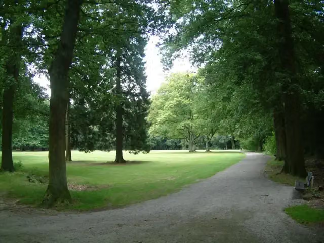
Rondje Eindhoven - Hoofdroute is a circular ride of just over 54 km around Eindhoven, through the municipalities of Eindhoven and Veldhoven, ridden clockwise. You pass parks such as the Philips de Jongh Wandelpark, Park Meerland and the Severijnpark, ride through part of Van Gogh National Park and pass the Collse Watermolen and the hamlets of Coll, Urkhoven and Riel. Two thirds is cycle path, nearly all paved, and it is flat. There are 485 benches along the way, but we know of only one toilet and one water tap.
Cycle routes nearby
6- Slowlane - HoofdrouteModerate · From A to B33.9 km
- F615Easy · From A to B7.3 km
- Schelde-Rheinroute - 05 - Hilvarenbeek - Stad van GerwenModerate · From A to B31.7 km
- EuroVelo 4 - Centraal-Europaroute - deel NederlandHard · From A to B327.6 km
- F270Easy · From A to B13.3 km
- Oude SpoorbaantracéEasy · From A to B4.4 km
Sights nearby
Within 10 km of the route, best known first.
- 1
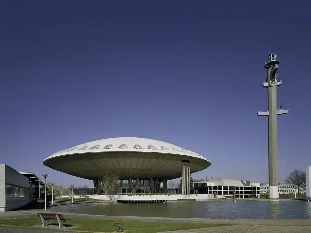 EvoluonAttraction · 1.4 km from the route
- 2
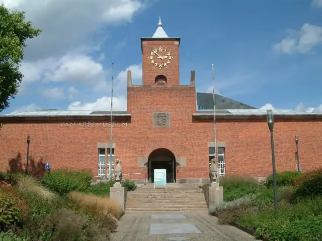 Van AbbemuseumMuseum · 1.5 km from the route
- 3
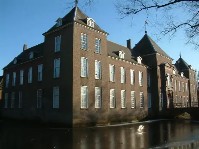 Kasteel HeezeCastle · 5.6 km from the route
- 4
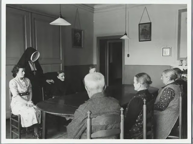 Kasteel CroyCastle · 8.4 km from the route
- 5
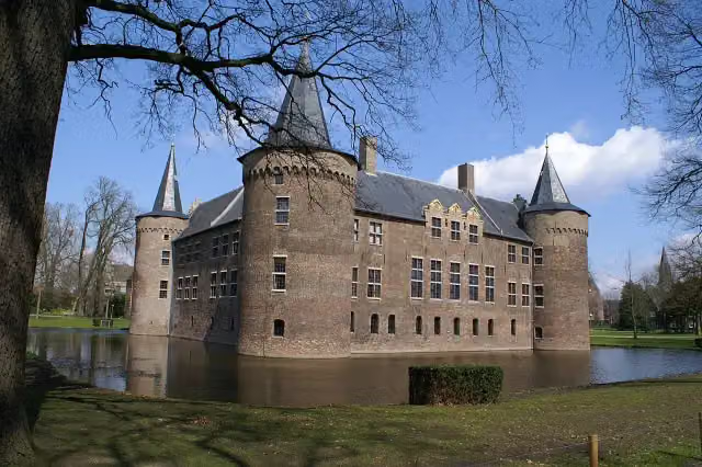 Kasteel van HelmondCastle · 8.8 km from the route
- 6
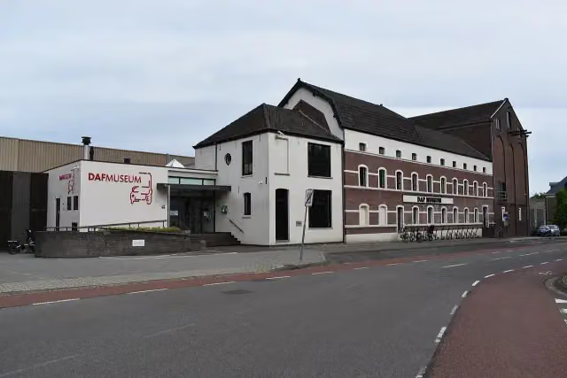 DAF MuseumMuseum · 1.9 km from the route
- 7
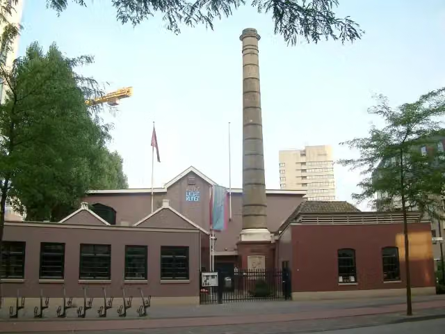 Philips MuseumMuseum · 1.8 km from the route
- 8
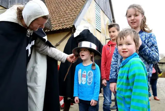 PreHistorisch DorpMuseum · 332 m from the route
- 9
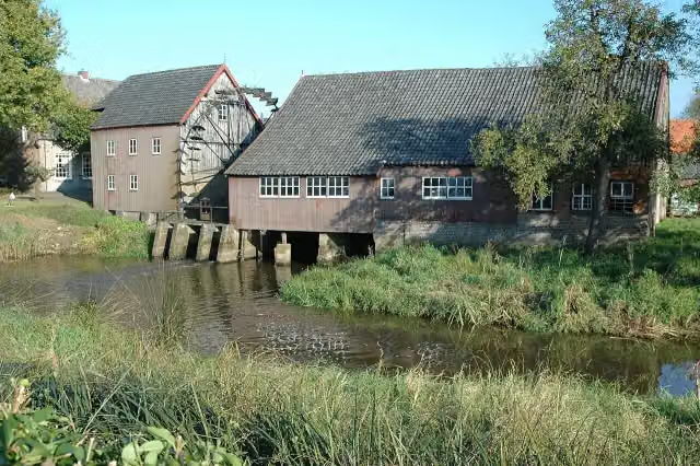 Opwettense watermolenAttraction · 1 km from the route
- 10
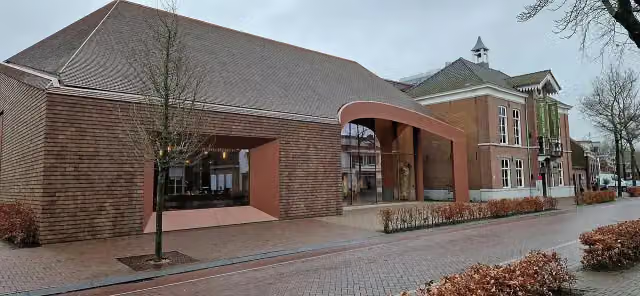 Van Gogh Village MuseumMuseum · 3.1 km from the route
- 11
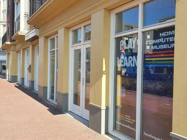 HomeComputerMuseumMuseum · 9.2 km from the route
- 12
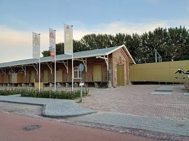 DraaiorgelmuseumMuseum · 9 km from the route
- 13
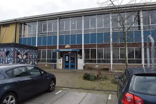 ErfgoedhuisMuseum · 2.1 km from the route
- 14
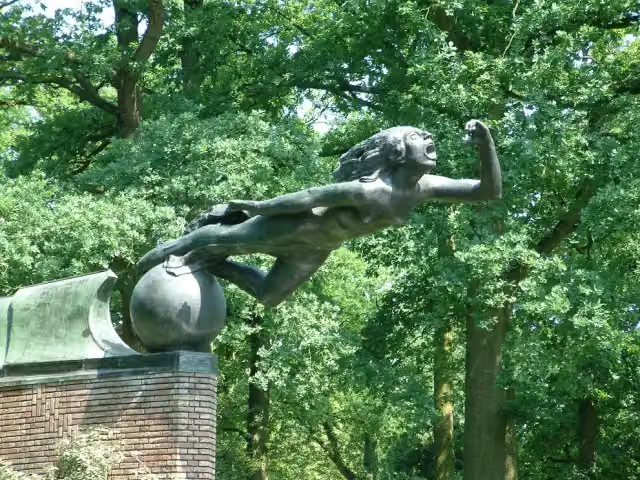 RadiomonumentMemorial · 859 m from the route
- 15
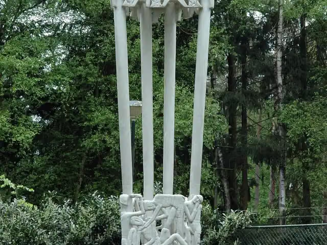 Joe Mann MonumentMemorial · 2.3 km from the route
- 16
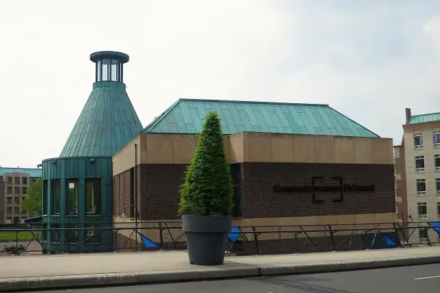 Kunsthal HelmondMuseum · 8.6 km from the route
- 17
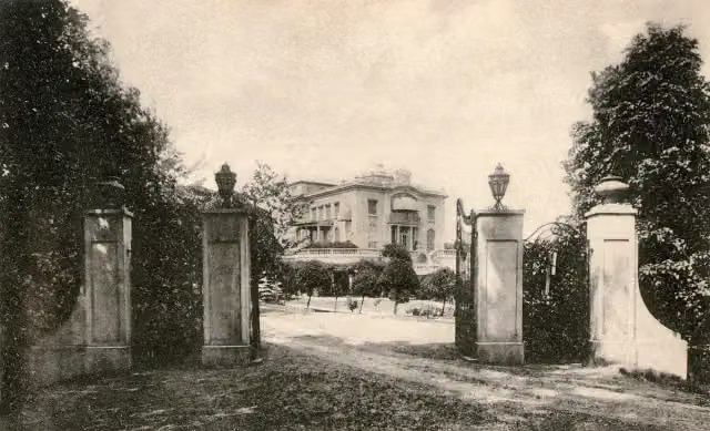 PeaparkRuins · 8.6 km from the route
- 18
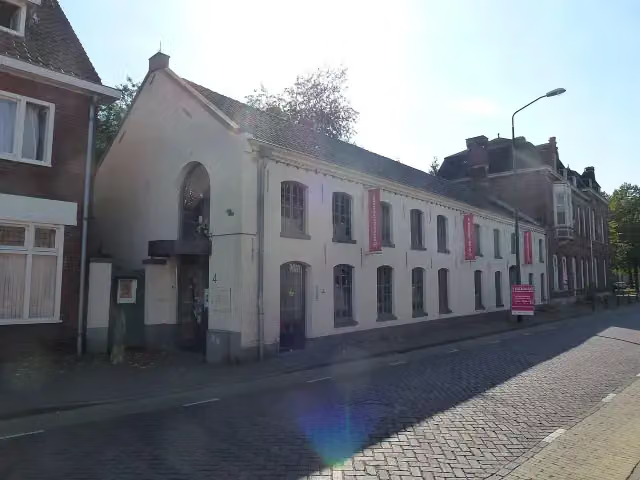 Het Waalres MuseumMuseum · 2.8 km from the route
- 19
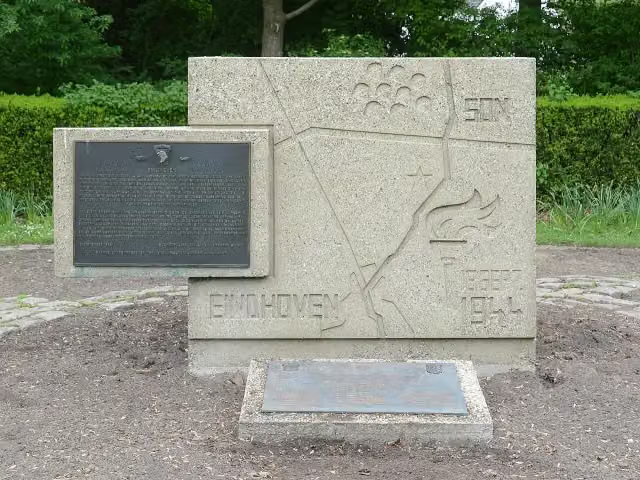 Airborne 101 Monument EindhovenMemorial · 897 m from the route
- 20
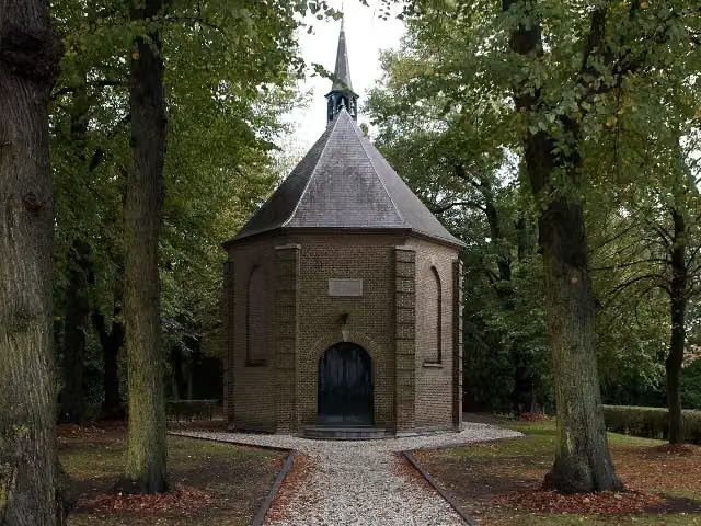 Van GoghkerkjeAttraction · 3.3 km from the route
- 21
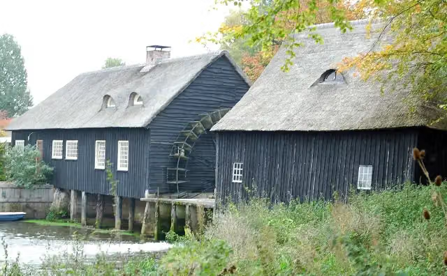 Hooidonkse watermolenAttraction · 1.1 km from the route
- 22
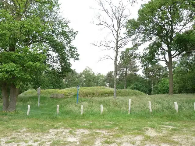 De zwarte bergArchaeological site · 9.6 km from the route
- 23
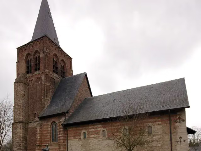 Herdenkingskapel voor Brabants GevallenenMemorial · 2.6 km from the route
- 24
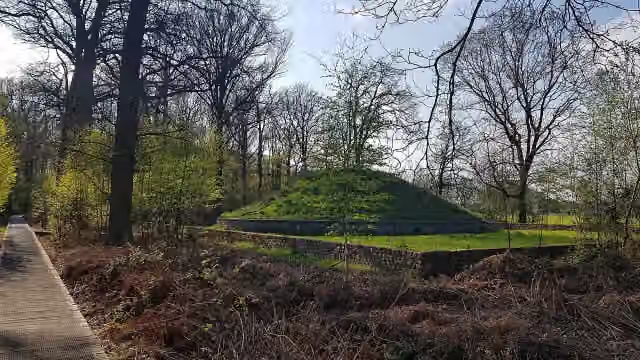 KaboutersbergArchaeological site · 8.7 km from the route
- 25
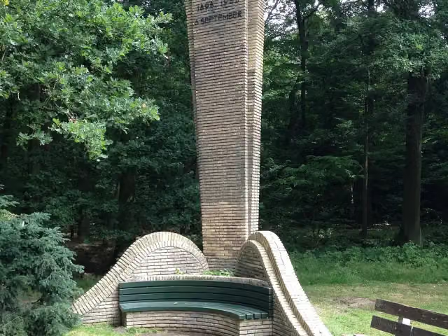 WilhelminamonumentMemorial · 173 m from the route
Explore more
Frequently asked questions
How long is Rondje Eindhoven - Hoofdroute?
Rondje Eindhoven - Hoofdroute is 54.2 km long. Allow ± 3:35 h of riding: 15 km an hour, without breaks.
Is this route a circular ride?
Yes, the route starts and ends at the same spot.
Where does this route start?
The route starts in Eindhoven.
How hard is this route?
Moderate, with 16 m of climbing.
Are there toilets along this route?
Yes, there are 1 public toilet within 100 m of the route. The longest stretch without a toilet is 39.8 km.
Can you fill up with water along this route?
Yes, there are 1 water point within 100 m of the route.
What is there to see along this route?
Along the way you pass Collse Watermolen.
Start place
More routes from this place
Route data © OpenStreetMap contributors





