 Outdoor Pitstop
Cycle route · Elstra - Halštrow · Updated on 13 November 2026
Schwarze Elster Radweg cycle route
Schwarze Elster Radweg is a cycle route of 207.3 km from Elstra - Halštrow. Along the way you'll find 299 benches, 3 water fountains and refill points, 20 public toilets and 3 bike pumps.
i
The route step by step
From start to finish, with what you pass along the way and the distance in between.
- 207.3 km
- ± 13:50 h
- ↑ 140 m · ↓ 381 m
- Hard
- From A to B
- Regional route
Start in Elstra - Halštrow
0 km7.6 km · 16 benches

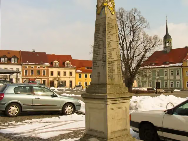
Kursächsische Postmeilensäule
7.6 kmAttraction
23.8 km · 36 benches
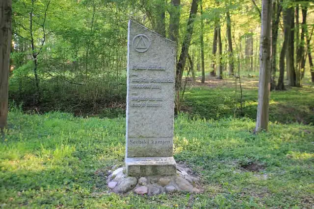
Serbski kamjeń
31.3 kmMemorial
6.5 km · 15 benches
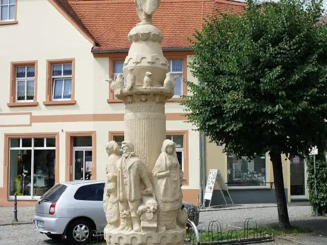
Krabatsäule
37.9 kmPublic toilet
9.6 km · 6 benches
Gedenkstein an das Gefecht bei Hoyerswerda 1759
47.4 kmMemorial
400 m · bench
Johanneskirche
47.8 kmAttraction
183 m · 3 benches
Public toilet and bike pump
48 km154 m · 11 benches
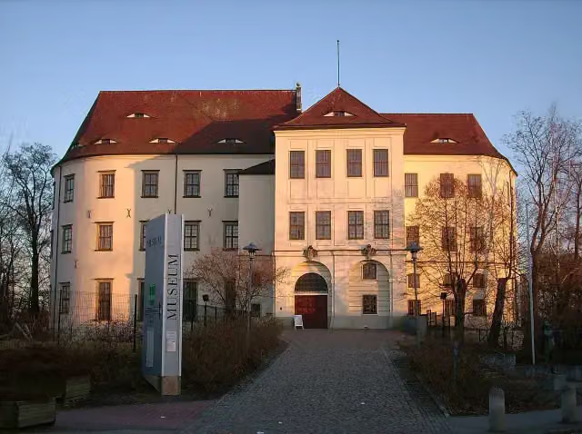
Schloss Hoyerswerda and 1 more
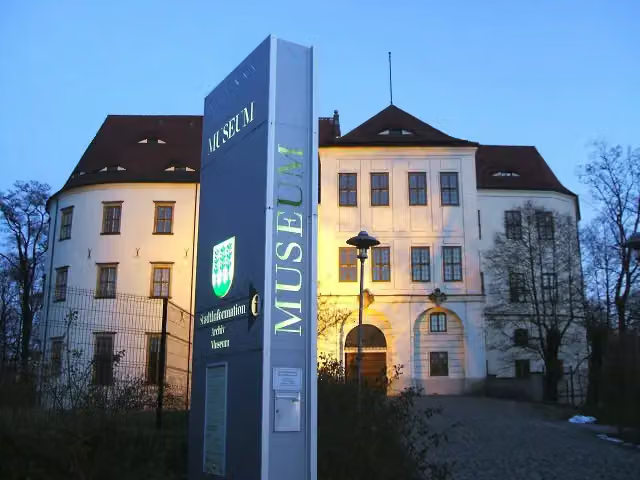
48.2 kmStadtmuseum Hoyerswerda and public toilet
174 m · 15 benches
2 public toilets
48.3 km8 km · bench
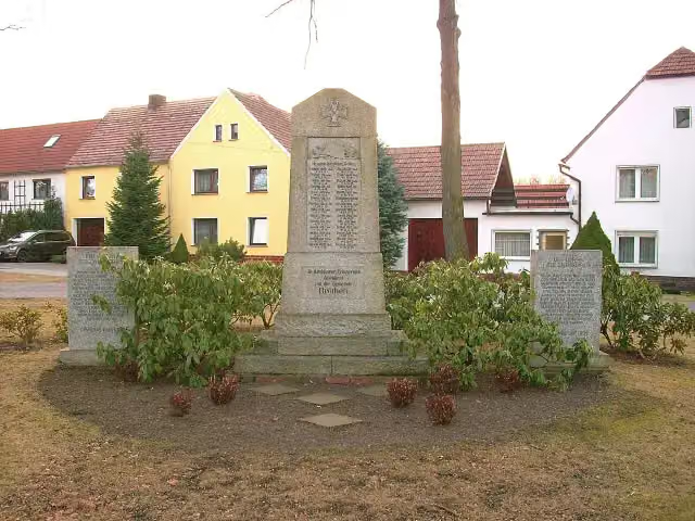
Gefallenendenkmal
56.3 kmMemorial
2.5 km
Erlebnishof Krabatmühle/Krabatowy młyn
58.8 kmMuseum
4.8 km · 14 benches
Bike pump
63.6 km5.2 km · 7 benches
Bike pump
68.8 km493 m
Public toilet
69.3 km307 m · 4 benches
2 public toilets
69.6 km7.7 km · 8 benches
Public toilet
77.4 km276 m · 2 benches
Public toilet and water point
77.6 km1.2 km · 6 benches
Public toilet and water point
78.8 km1.1 km · 6 benches
Public toilet
79.9 km247 m · 8 benches
Observation tower
80.2 kmObservation tower
1.3 km · 4 benches
2 public toilets
81.5 km225 m
2 public toilets
81.7 km9.4 km · 9 benches
Public toilet
91.1 km2.2 km · 8 benches
Public toilet
93.3 km1.4 km · bench
Germania-Denkmal
94.7 kmWater point
21.3 km · 17 benches
Elstermühle Plessa
116 kmMuseum
8.4 km · 4 benches
Kursächsische Postmeilensäule
124.4 kmAttraction
16.9 km · 45 benches
Friedrich-Wilhelm-Denkmal
141.4 kmMemorial
5.5 km · 11 benches
Kursächsische Postmeilensäule
146.9 kmAttraction
235 m
Heimatmuseum Wahrenbrück
147.1 kmMuseum
Show the other 4 steps
2.8 km · 2 benches
Public toilet
149.9 km17 km · 12 benches
Public toilet
166.9 km32.1 km · 12 benches
Kriegerdenkmal Jessen
199 kmMemorial
8.2 km · 14 benches
Finish
207.3 km
Longest stretch without a toilet: 56.6 kmBetween 93.3 km and 149.9 km there is no public toilet within 100 m of the route.
The route with the pitstops and sights within 100 m of it.
17 sights along the way
In the order you pass them. With the Outdoor Pitstop app you hear their story on the spot. 9 more along the route are on the map.
i
Photo: Radler59 · Wikimedia Commons · CC BY-SA 3.0View the photo on Wikimedia CommonsAttraction · after 7.6 km
i
Photo: Julian Nyča · Wikimedia Commons · CC BY-SA 3.0View the photo on Wikimedia CommonsMemorial · after 31.3 km
i
Photo: Paulis · Wikimedia Commons · CC BY-SA 3.0View the photo on Wikimedia CommonsMemorial · after 37.9 km

Memorial · after 47.4 km
Attraction · after 47.8 km
i
Photo: SeptemberWoman · Wikimedia Commons · CC BY-SA 3.0View the photo on Wikimedia CommonsCastle · after 48.2 km
i
Photo: SeptemberWoman · Wikimedia Commons · CC BY-SA 3.0View the photo on Wikimedia CommonsMuseum · after 48.2 km
i
Photo: SeptemberWoman · Wikimedia Commons · CC BY-SA 3.0View the photo on Wikimedia CommonsMemorial · after 56.3 km
Elevation and terrain
- Up
- ↑ 140 m
- Down
- ↓ 381 m
- Highest point
- 317 m
- Lowest point
- 74 m
- 5-10% slope · 1 km
Elevation from Copernicus GLO-30 (European Union and ESA), smoothed.
produced using Copernicus WorldDEM-30 © DLR e.V. 2010-2014 and © Airbus Defence and Space GmbH 2014-2018 provided under COPERNICUS by the European Union and ESA; all rights reserved
Way types
207.3 km in total- Track: 54 km
- Street: 43.9 km
- Path: 39.8 km
- Road: 30.2 km
- Cycle path: 28.8 km
- Busy road: 8.8 km
- Footpath (walk your bike): 1.5 km
Surfaces
207.3 km in total- Asphalt: 162.1 km
- Gravel: 23.5 km
- Paved: 12 km
- Unpaved: 1.7 km
- Natural: 1.4 km
- Unknown: 6.2 km
About the cycle route Schwarze Elster Radweg
Updated on 13 November 2026, with data from OpenStreetMap, the AHN and Copernicus.
Where do you cycle?
Schwarze Elster Radweg is a cycle route of 207.3 km that starts in Elstra - Halštrow. It does not end where it starts. Along the way you pass Kursächsische Postmeilensäule (after 7.6 km), Serbski kamjeń (after 31.3 km) and Krabatsäule (after 37.9 km).
How hard is the route?
You climb 140 m in total and descend 381 m. Allow ± 13:50 h, without breaks. The level is hard.
What roads do you cycle on?
The longest part is track (54 km), street (43.9 km) and path (39.8 km). Of the surface, 162.1 km asphalt and 23.5 km gravel. For 6.2 km the surface is not known.
Pitstops along the way
Within 100 metres of the route there are 299 benches, 3 water fountains and refill points, 20 public toilets and 3 bike pumps. You can fill your bottle after 77.6 km, after 78.9 km and after 94.7 km. The longest stretch without a toilet is 56.6 km. The Outdoor Pitstop app navigates you there.
Cycle routes nearby
6- RöderradrouteHard · From A to B105 km
- Sächsische Städteroute [Kamenz↔Görlitz]Hard · From A to B109.7 km
- Archäologischer Radwanderweg Lausitz NordrouteHard · From A to B86.4 km
- Archäologischer Radwanderweg Lausitz - Ostroer SchanzeEasy · From A to B2.6 km
- Heidebogen-RundwegHard · From A to B127.8 km
- ProduktrouteEasy · From A to B25.2 km
Sights nearby
Within 10 km of the route, best known first.
- 1
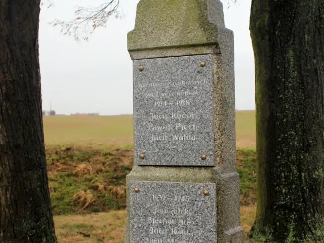 Wojerski pomnikMemorial · 4.4 km from the route
- 2
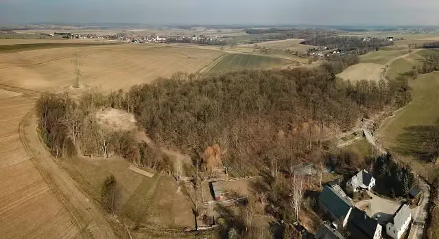 Kopšinjanske hrodźišćoArchaeological site · 7 km from the route
- 3
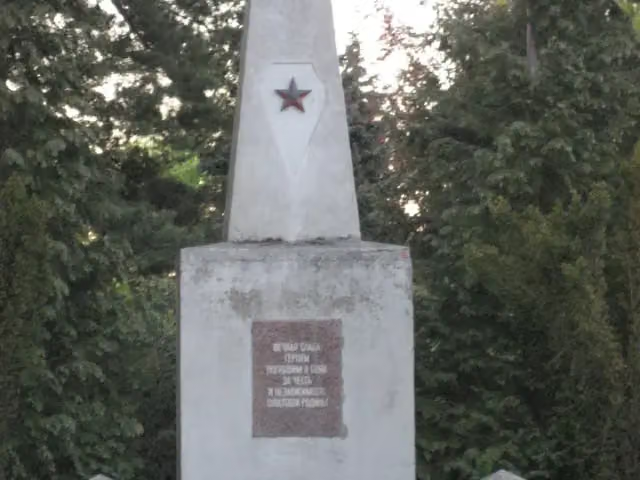 Sowjetisches EhrenmalMemorial · 110 m from the route
- 4
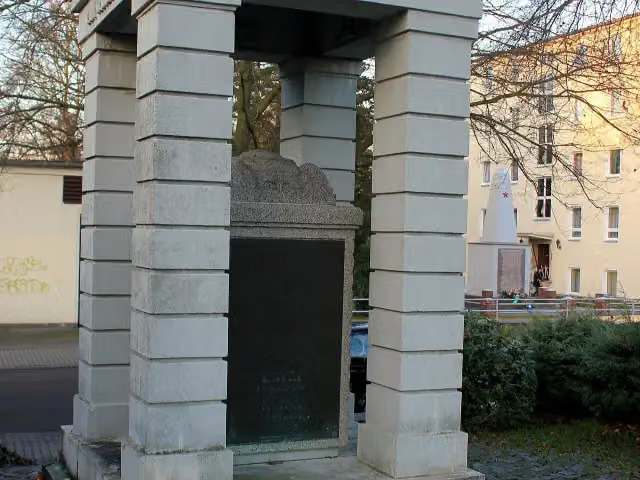 Gefallenendenkmal 1914–18Memorial · 124 m from the route
- 5
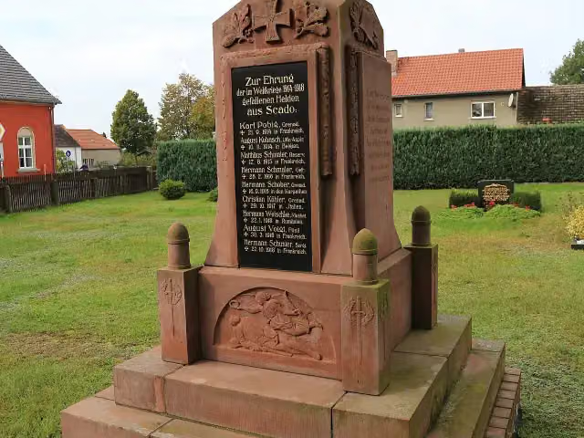 Gefallenendenkmal ScadoMemorial · 129 m from the route
- 6
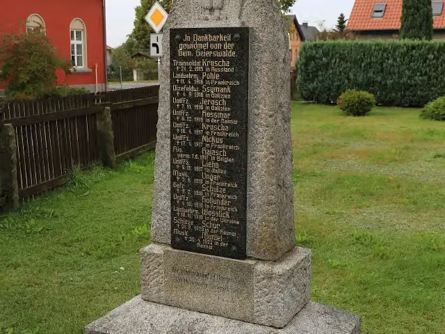 Gefallenendenkmal GeierswaldeMemorial · 138 m from the route
- 7
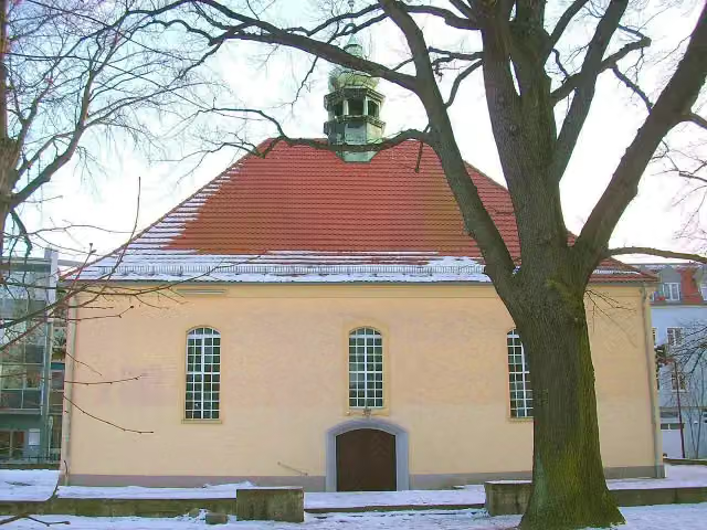 Kreuzkirche (Kirche des Apostelamtes Jesu Christi)Attraction · 261 m from the route
- 8
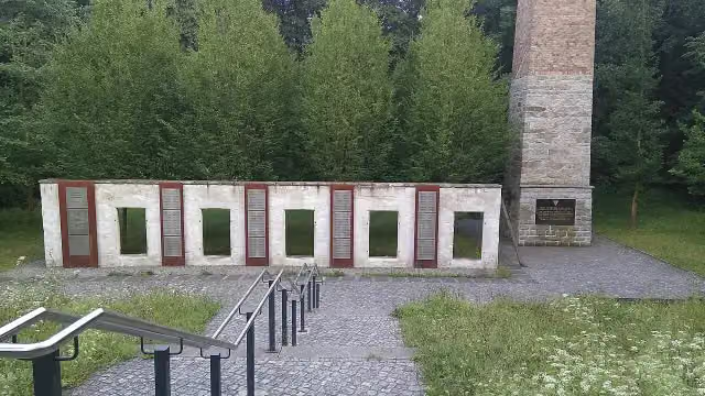 Mahnmal für die Opfer des KZ-Außenlagers Kamenz-HerrentalMemorial · 380 m from the route
- 9
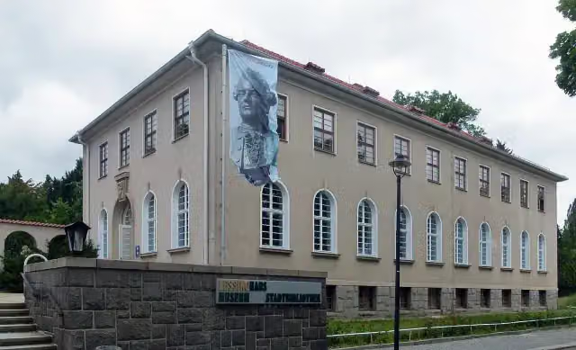 Lessing-MuseumMuseum · 501 m from the route
- 10
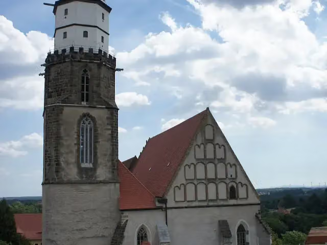 Sankt MarienAttraction · 504 m from the route
- 11
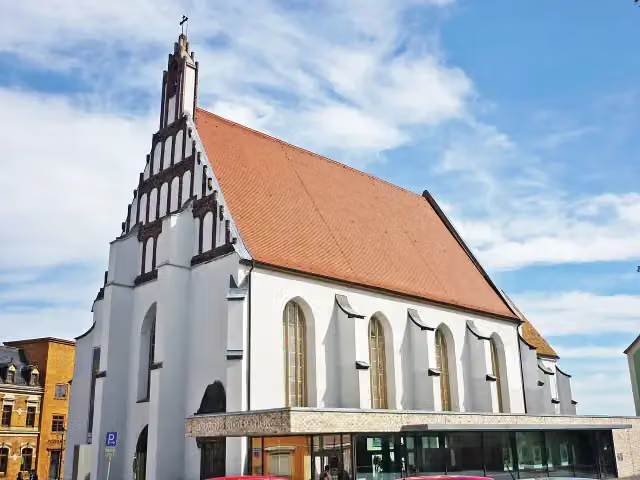 Klosterkirche und Sakralmuseum St. AnnenMuseum · 523 m from the route
- 12
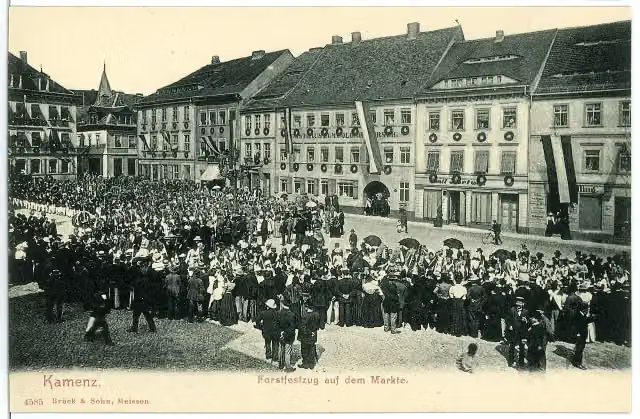 ForstfestplatzAttraction · 777 m from the route
- 13
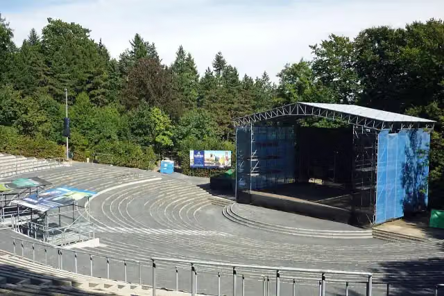 HutbergbühneAttraction · 1.6 km from the route
- 14
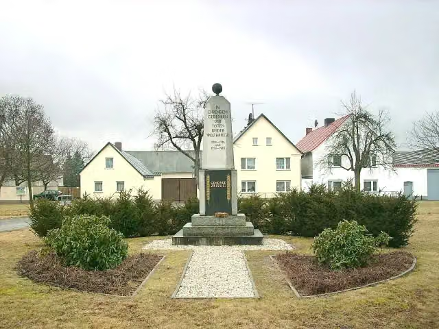 GefallenendenkmalMemorial · 2.2 km from the route
- 15
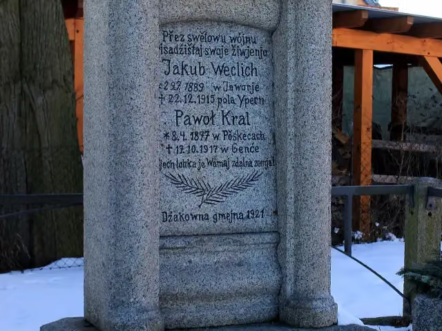 Wojerski pomnikMemorial · 2.8 km from the route
- 16
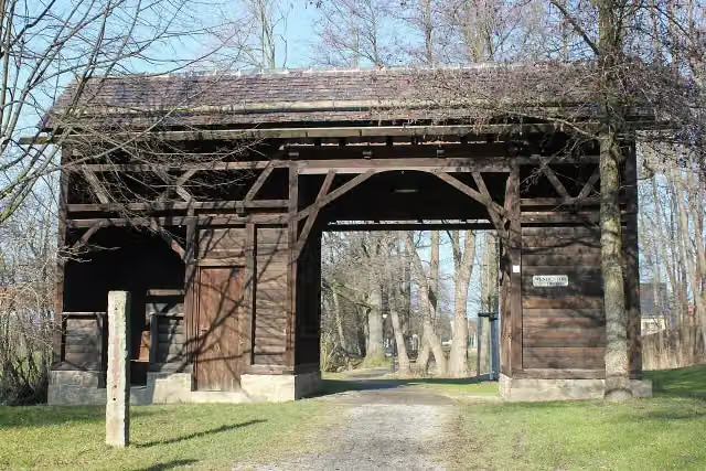 Serbske torožoAttraction · 3 km from the route
- 17
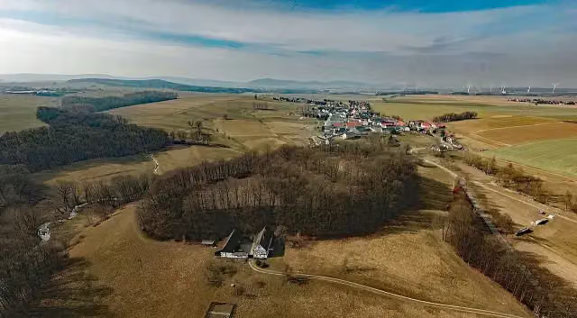 Ostroer SchanzeAttraction · 3.1 km from the route
- 18
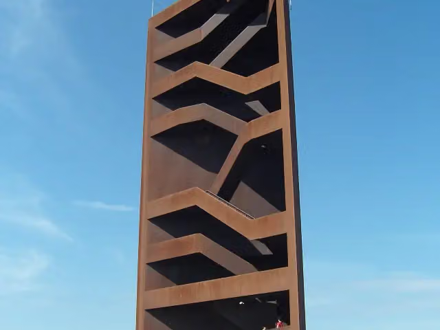 Landmarke Lausitzer Seenland "Rostiger Nagel"Observation tower · 3.4 km from the route
- 19
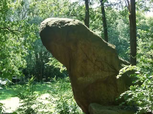 Miltitzer FroschAttraction · 3.4 km from the route
- 20
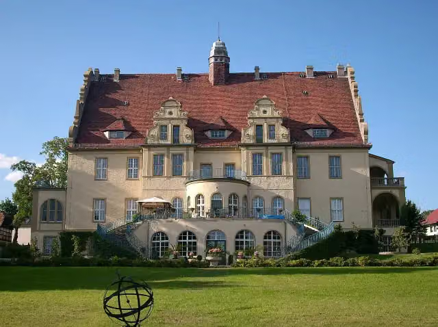 Schloss WeißigCastle · 3.7 km from the route
- 21
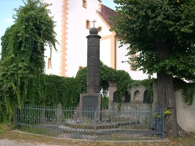 MemorialMemorial · 3.9 km from the route
- 22
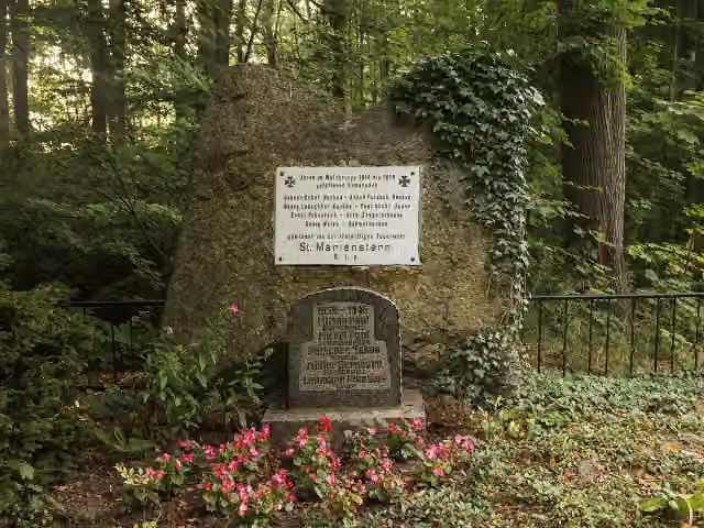 GefallenendenkmalMemorial · 3.9 km from the route
- 23
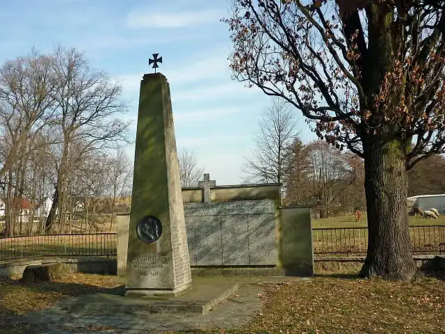 Wojerski pomnikMemorial · 4.4 km from the route
- 24
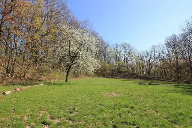 Kukowske hrodźišćoArchaeological site · 4.9 km from the route
- 25
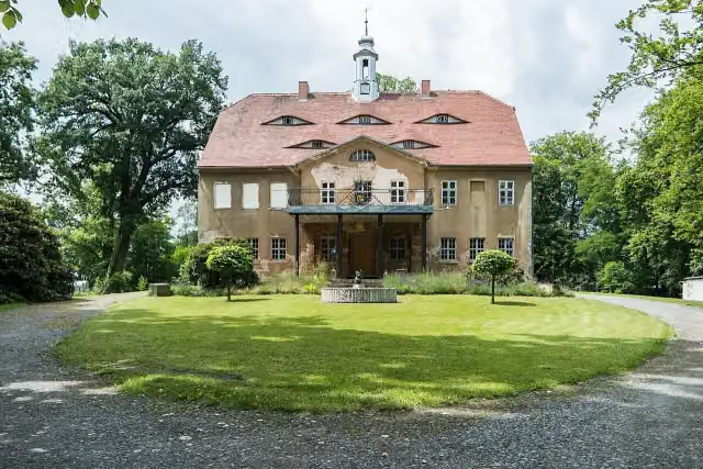 Schloss WarthaCastle · 5.2 km from the route
Explore more
More cycle routes around Elstra - Halštrow
Frequently asked questions
How long is Schwarze Elster Radweg?
Schwarze Elster Radweg is 207.3 km long. Allow ± 13:50 h of riding: 15 km an hour, without breaks.
Is this route a circular ride?
No, the route starts and ends at different spots.
Where does this route start?
The route starts in Elstra - Halštrow.
How hard is this route?
Hard, with 140 m of climbing.
Are there toilets along this route?
Yes, there are 20 public toilets within 100 m of the route. The longest stretch without a toilet is 56.6 km.
Can you fill up with water along this route?
Yes, there are 3 water fountains and refill points within 100 m of the route.
What is there to see along this route?
Along the way you pass Kursächsische Postmeilensäule, Serbski kamjeń and Krabatsäule.
Can I download this route as a GPX file?
Yes. Sign in with your Outdoor Pitstop account and choose Download GPX at the top of this page: 10 routes a month for free, unlimited with Pro.
Starting point
More routes from this place
Route data © OpenStreetMap contributors





