 Outdoor Pitstop
Cycle route · Bad Liebenwerda · Updated on 14 November 2026
Röderradroute cycle route
Röderradroute is a cycle route of 105 km from Bad Liebenwerda. Along the way you'll find 193 benches, 7 public toilets, 1 bike pump and 3 honesty boxes and farm vending machines.
i
The route step by step
From start to finish, with what you pass along the way and the distance in between.
- 105 km
- ± 7:00 h
- ↑ 470 m · ↓ 221 m
- Hard
- From A to B
- Regional route
Start in Bad Liebenwerda
0 km22.3 km · 12 benches

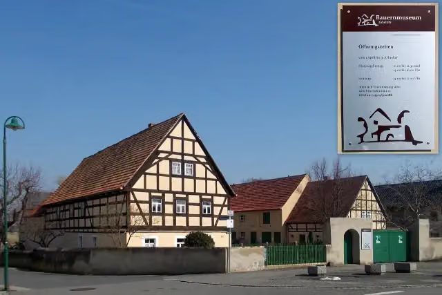
Bauernmuseum Zabeltitz
22.3 kmMuseum
506 m
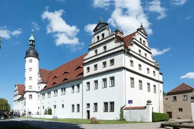
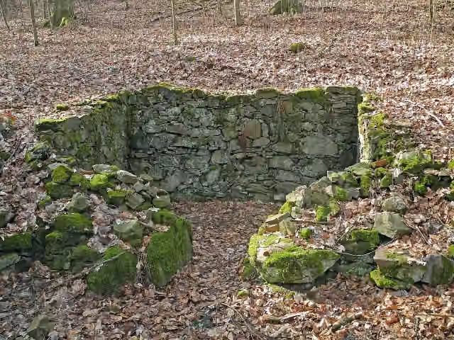
Altes Schloss Zabeltitz
22.8 kmCastle
14.8 km · 11 benches
2 public toilets
37.6 km22.5 km · 95 benches
Public toilet
60.1 km5 km · 10 benches
Honesty box
65.1 km6.6 km · 7 benches
Public toilet
71.8 km1.8 km · 8 benches
Public toilet and honesty box
73.5 km3.8 km · 8 benches
Petrarcas Hütte and 3 more
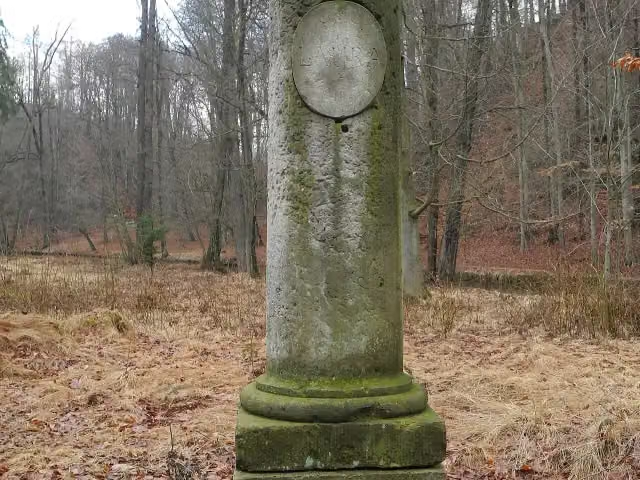
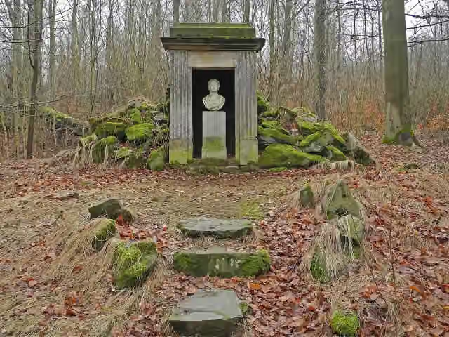
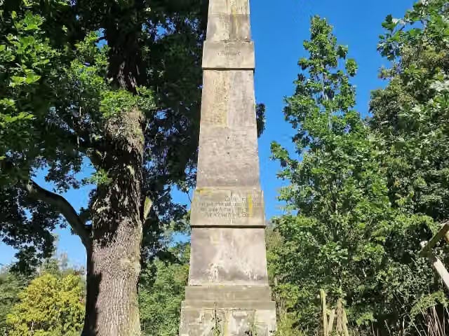
77.3 kmLauras Denkmal, Denkmal für Herzogin Anna-Amalia and Obelisk
232 m · 3 benches
Denkmal der Gotischen Freundschaft (Vase) and 2 more
77.5 kmDenkmal des Vaters der Gräfin, Hermannsdenkmal and public toilet
174 m · 2 benches
Denkmal für Leopold von Braunschweig
77.7 kmMemorial
315 m
Gedenkstein Ludwig Richter
78 kmMemorial
751 m · 3 benches
Seifersdorfer Schloss
78.8 kmAttraction
249 m · 7 benches
Honesty box
79 km8.1 km · 17 benches
Klippenstein castle and 1 more
87.1 kmOwl Tower, public toilet and bike pump
17.9 km · 10 benches
Finish
105 km
Longest stretch without a toilet: 37.6 kmBetween 0 km and 37.6 km there is no public toilet within 100 m of the route.
The route with the pitstops and sights within 100 m of it.
14 sights along the way
In the order you pass them. With the Outdoor Pitstop app you hear their story on the spot. 6 more along the route are on the map.
Museum · after 22.3 km
i
Photo: Radler59 · Wikimedia Commons · CC BY-SA 3.0View the photo on Wikimedia CommonsCastle · after 22.8 km
i
Photo: SchiDD · Wikimedia Commons · CC BY-SA 4.0View the photo on Wikimedia CommonsMemorial · after 77.3 km
i
Photo: SchiDD · Wikimedia Commons · CC BY-SA 4.0View the photo on Wikimedia CommonsMemorial · after 77.3 km
i
Photo: SchiDD · Wikimedia Commons · CC BY-SA 4.0View the photo on Wikimedia CommonsMemorial · after 77.4 km
i
Photo: Rigorius · Wikimedia Commons · CC BY-SA 4.0View the photo on Wikimedia CommonsMemorial · after 77.4 km
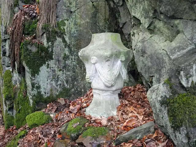
i
Photo: SchiDD · Wikimedia Commons · CC BY-SA 4.0View the photo on Wikimedia CommonsMemorial · after 77.5 km
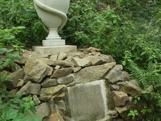
i
Photo: Alice d25 · Wikimedia Commons · CC BY-SA 3.0View the photo on Wikimedia CommonsMemorial · after 77.5 km
Elevation and terrain
- Up
- ↑ 470 m
- Down
- ↓ 221 m
- Highest point
- 356 m
- Lowest point
- 89 m
- 5-10% slope · 528 m
Elevation from Copernicus GLO-30 (European Union and ESA), smoothed.
produced using Copernicus WorldDEM-30 © DLR e.V. 2010-2014 and © Airbus Defence and Space GmbH 2014-2018 provided under COPERNICUS by the European Union and ESA; all rights reserved
Way types
105 km in total- Track: 34.2 km
- Street: 26.3 km
- Road: 23.9 km
- Path: 15.3 km
- Busy road: 4 km
- Footpath (walk your bike): 950 m
Surfaces
105 km in total- Asphalt: 58.2 km
- Gravel: 18.5 km
- Paved: 14.6 km
- Unpaved: 4.2 km
- Unknown: 9.3 km
About the cycle route Röderradroute
Updated on 14 November 2026, with data from OpenStreetMap, the AHN and Copernicus.
Where do you cycle?
Röderradroute is a cycle route of 105 km that starts in Bad Liebenwerda. It does not end where it starts. Along the way you pass Bauernmuseum Zabeltitz (after 22.3 km), Altes Schloss Zabeltitz (after 22.8 km) and Petrarcas Hütte (after 77.3 km).
How hard is the route?
You climb 470 m in total and descend 221 m. Allow ± 7:00 h, without breaks. The level is hard.
What roads do you cycle on?
The longest part is track (34.2 km), street (26.3 km) and road (23.9 km). Of the surface, 58.2 km asphalt and 18.5 km gravel. For 9.3 km the surface is not known.
Pitstops along the way
Within 100 metres of the route there are 193 benches, 7 public toilets, 1 bike pump and 3 honesty boxes and farm vending machines. The longest stretch without a toilet is 37.6 km. The Outdoor Pitstop app navigates you there.
Cycle routes nearby
6Sights nearby
Within 10 km of the route, best known first.
- 1
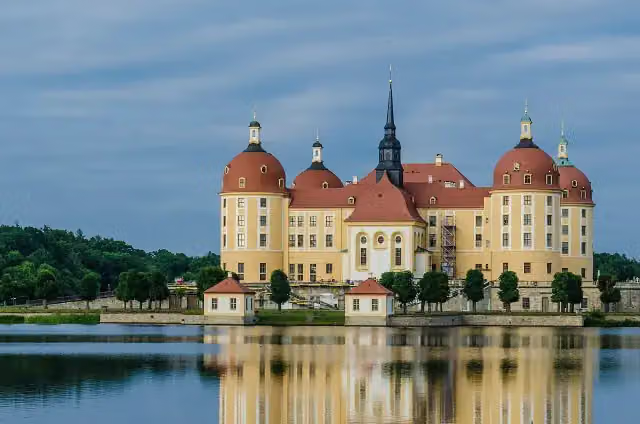 Moritzburg CastleAttraction · 6.2 km from the route
- 2
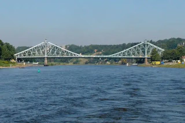 Loschwitzer BrückeAttraction · 9.6 km from the route
- 3
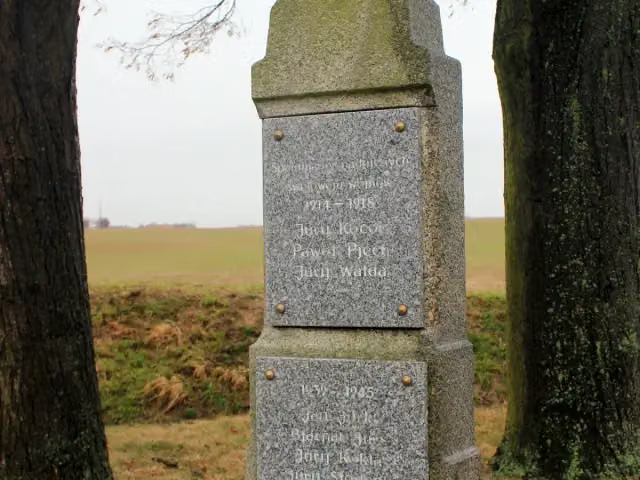 Wojerski pomnikMemorial · 9.6 km from the route
- 4
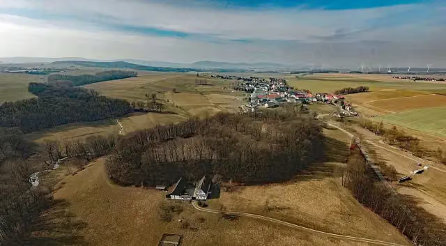 Ostroer SchanzeAttraction · 8 km from the route
- 5
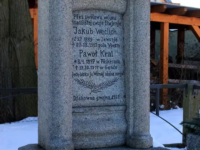 Wojerski pomnikMemorial · 8.6 km from the route
- 6
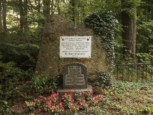 GefallenendenkmalMemorial · 9.4 km from the route
- 7
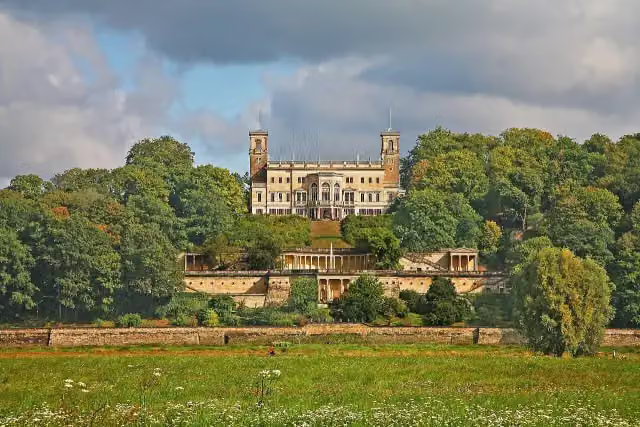 Schloss AlbrechtsbergCastle · 9.5 km from the route
- 8
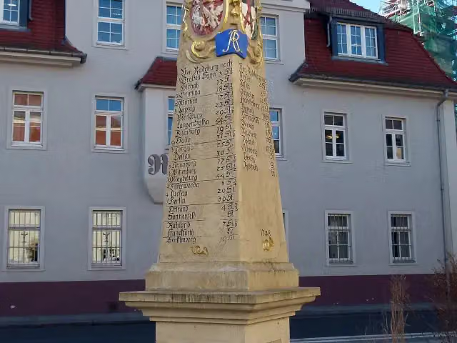 Kursächsische PostmeilensäuleAttraction · 111 m from the route
- 9
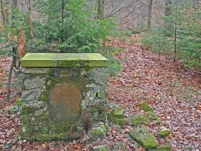 Altar der WahrheitMemorial · 116 m from the route
- 10
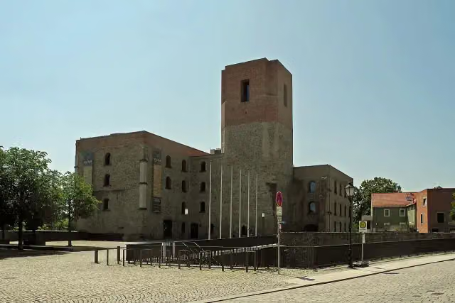 Kulturschloß GroßenhainCastle · 127 m from the route
- 11
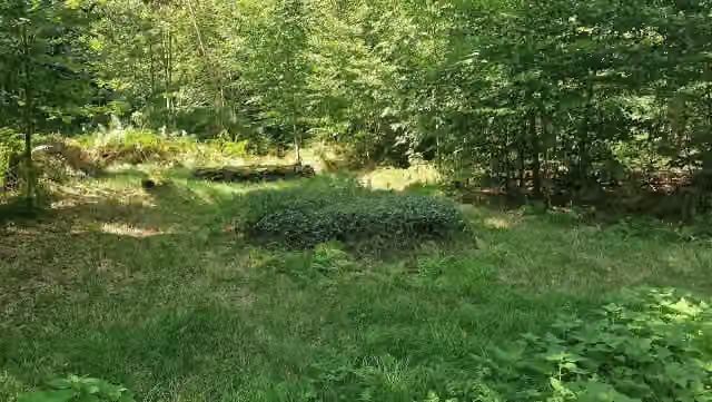 ehem. "Stätte der Versöhnlichkeit"Memorial · 134 m from the route
- 12
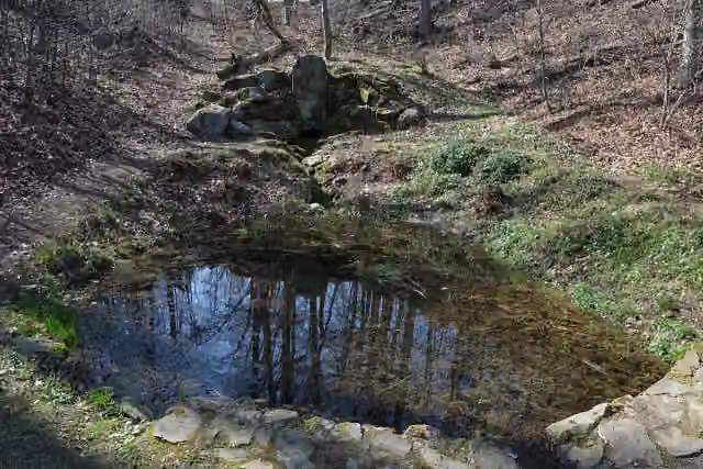 Bergquelle "Schöpfe schweigend"Memorial · 144 m from the route
- 13
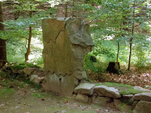 Lorenzos GrabMemorial · 151 m from the route
- 14
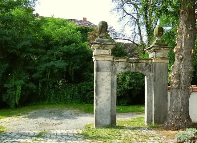 Schloss TiefenauCastle · 158 m from the route
- 15
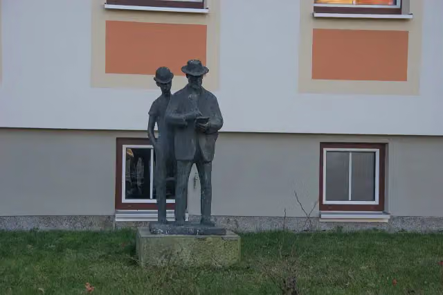 Heinrich-Zille-StatueMemorial · 171 m from the route
- 16
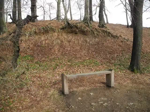 ehem. "Lorenzo's Hütte"Memorial · 171 m from the route
- 17
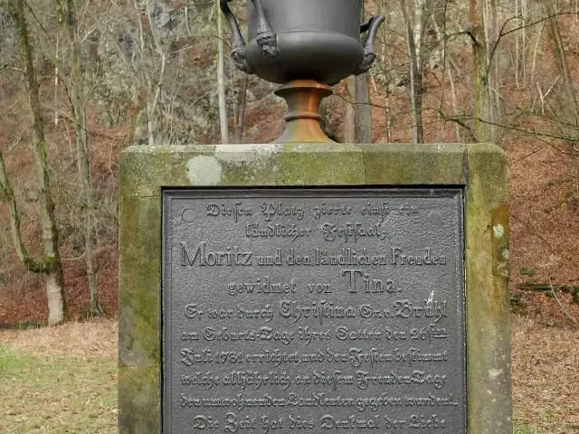 "Moritz und den ländlichen Freuden gewidmet"Memorial · 176 m from the route
- 18
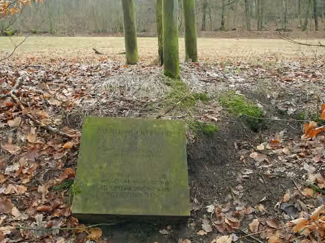 JahrhunderteicheMemorial · 188 m from the route
- 19
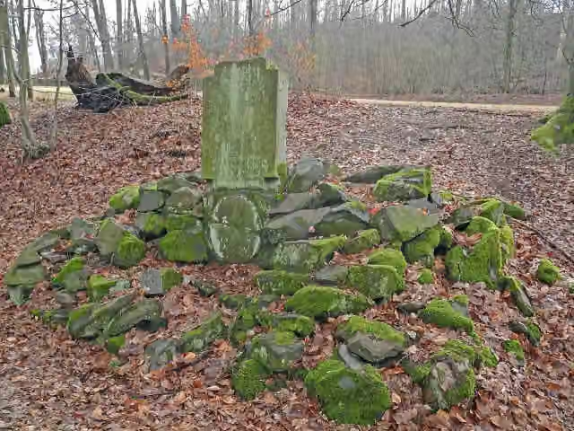 Denkmal des jungen GrafenMemorial · 193 m from the route
- 20
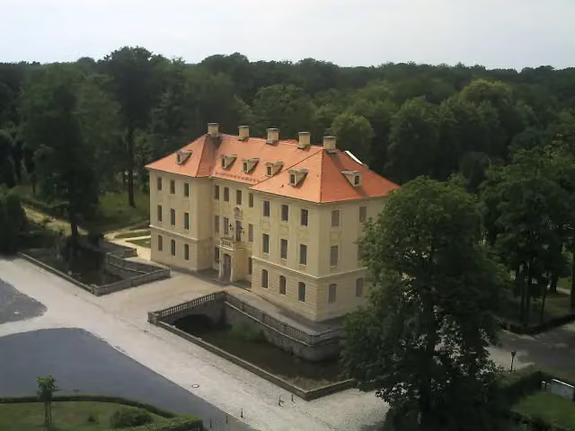 Palais ZabeltitzAttraction · 203 m from the route
- 21
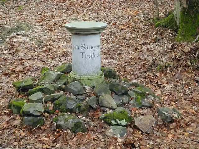 "Dem Sänger des Thales - Naumann"Memorial · 215 m from the route
- 22
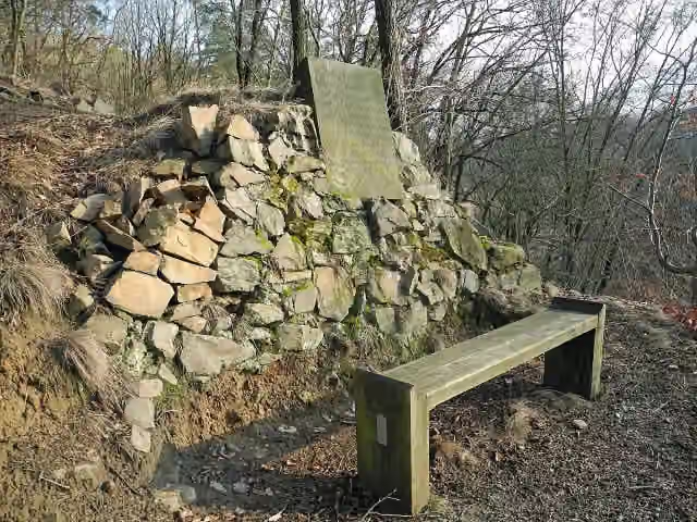 SonnenuntergangsbankMemorial · 224 m from the route
- 23
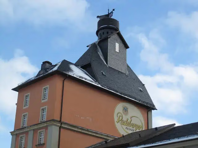 Radeberger ExportbierbrauereiAttraction · 244 m from the route
- 24
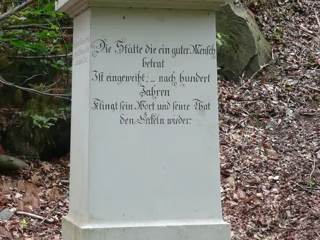 Den freundlichen Pflegern des TalesMemorial · 250 m from the route
- 25
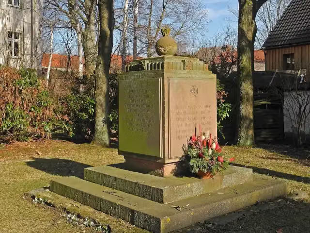 MemorialMemorial · 262 m from the route
Explore more
More cycle routes around Bad Liebenwerda
Frequently asked questions
How long is Röderradroute?
Röderradroute is 105 km long. Allow ± 7:00 h of riding: 15 km an hour, without breaks.
Is this route a circular ride?
No, the route starts and ends at different spots.
Where does this route start?
The route starts in Bad Liebenwerda.
How hard is this route?
Hard, with 470 m of climbing.
Are there toilets along this route?
Yes, there are 7 public toilets within 100 m of the route. The longest stretch without a toilet is 37.6 km.
Can you fill up with water along this route?
No, there is no water point within 100 m of the route. Bring enough water.
What is there to see along this route?
Along the way you pass Bauernmuseum Zabeltitz, Altes Schloss Zabeltitz and Petrarcas Hütte.
Can I download this route as a GPX file?
Yes. Sign in with your Outdoor Pitstop account and choose Download GPX at the top of this page: 10 routes a month for free, unlimited with Pro.
Starting point
More routes from this place
Route data © OpenStreetMap contributors





