 Outdoor Pitstop
Cycle route · Kamenz - Kamjenc · Updated on 14 November 2026
Sächsische Städteroute [Kamenz↔Görlitz] cycle route
Sächsische Städteroute [Kamenz↔Görlitz] is a cycle route of 109.7 km from Kamenz - Kamjenc. Along the way you'll find 307 benches, 5 public toilets, 1 bike pump and 1 honesty box.
i
i
i
The route step by step
From start to finish, with what you pass along the way and the distance in between.
- 109.7 km
- ± 7:20 h
- ↑ 824 m · ↓ 859 m
- Hard
- From A to B
- Regional route
Start in Kamenz - Kamjenc
0 km2.9 km · 11 benches

Elementarium
2.9 kmMuseum
394 m · 25 benches
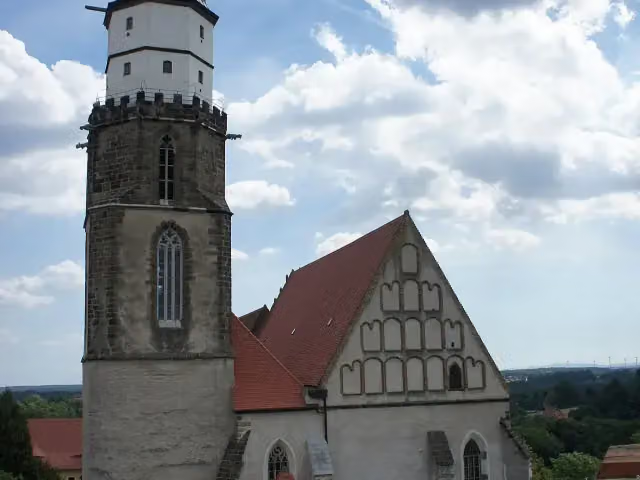
Sankt Marien and 1 more
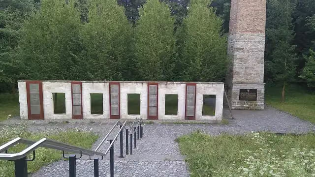
3.3 kmMahnmal für die Opfer des KZ-Außenlagers Kamenz-Herrental
10.3 km · 27 benches
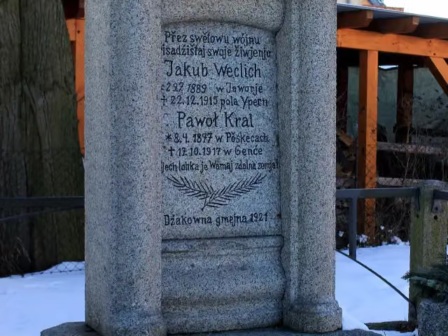
Wojerski pomnik
13.6 kmMemorial
1.3 km · 8 benches
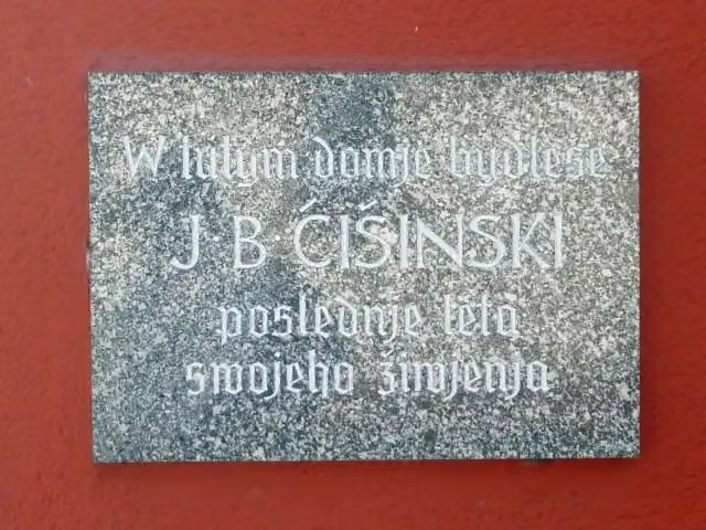
Jakub Bart-Ćišinski
14.9 kmPublic toilet
759 m · 2 benches
Wojerski pomnik and 1 more
15.6 kmJakub Bart-Ćišinski
2.7 km · bench
Znowazałoženje Domowiny 1945
18.3 kmMemorial
2.8 km · 7 benches
Gedenkstein Friedrich August III.
21.1 kmMemorial
5.7 km · 14 benches
Milleniumsdenkmal
26.8 kmAttraction
8.4 km · 9 benches
Nicolaikirche
35.2 kmRuins
1 km · 17 benches
Sowjetisches Ehrenmal
36.2 kmMemorial
1.5 km · 22 benches
Public toilet
37.7 km2 km · 3 benches
Honesty box
39.8 km2.4 km
Gefallenendenkmal
42.2 kmMemorial
6.8 km · 2 benches
Schloss Drehsa
49 kmCastle
5 km · bench
Heimatmuseum
54 kmMuseum
19.9 km · 3 benches
Public toilet
74 km185 m · 3 benches
Public toilet
74.1 km777 m
Public toilet
74.9 km31.6 km · 45 benches
Bike pump
106.5 km1.7 km · 22 benches
Jakob-Böhme-Denkmal
108.2 kmMemorial
1.5 km · 85 benches
Finish
109.7 kmAt the finish: Vierradenmühle.
Longest stretch without a toilet: 36.2 kmBetween 37.7 km and 74 km there is no public toilet within 100 m of the route.
The route with the pitstops and sights within 100 m of it.
17 sights along the way
In the order you pass them. With the Outdoor Pitstop app you hear their story on the spot. 9 more along the route are on the map.
i
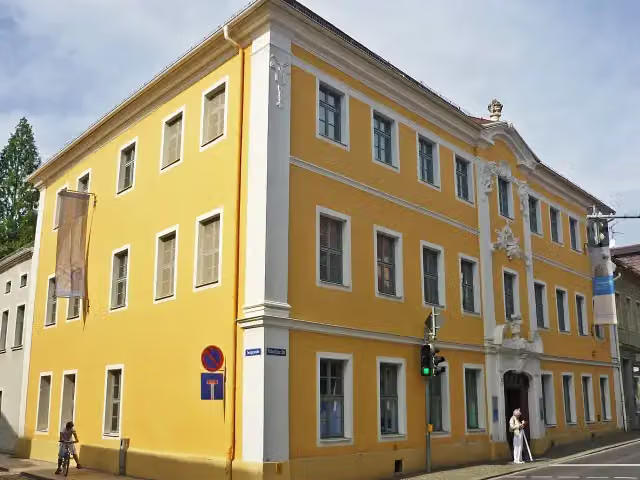
Photo: SchiDD · Wikimedia Commons · CC BY 3.0View the photo on Wikimedia CommonsMuseum · after 2.9 km
i
Photo: Paulis · Wikimedia Commons · CC BY-SA 3.0View the photo on Wikimedia CommonsAttraction · after 3.3 km
i
Photo: JulMai85 · Wikimedia Commons · CC BY-SA 4.0View the photo on Wikimedia CommonsMemorial · after 3.4 km
i
Photo: Julian Nyča · Wikimedia Commons · CC BY-SA 3.0View the photo on Wikimedia CommonsMemorial · after 13.6 km
i
Photo: SchiDD · Wikimedia Commons · CC BY-SA 3.0View the photo on Wikimedia CommonsMemorial · after 15 km
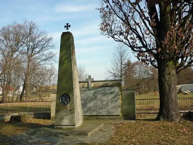
i
Photo: SchiDD · Wikimedia Commons · CC BY-SA 3.0View the photo on Wikimedia CommonsMemorial · after 15.6 km
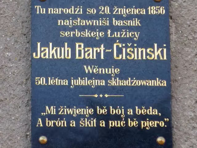
i
Photo: SchiDD · Wikimedia Commons · CC BY-SA 3.0View the photo on Wikimedia CommonsMemorial · after 15.7 km
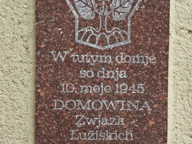
i
Photo: Julian Nyča · Wikimedia Commons · CC BY-SA 3.0View the photo on Wikimedia CommonsMemorial · after 18.3 km
Elevation and terrain
- Up
- ↑ 824 m
- Down
- ↓ 859 m
- Highest point
- 333 m
- Lowest point
- 167 m
- 5-10% slope · 3.9 km
Elevation from Copernicus GLO-30 (European Union and ESA), smoothed.
produced using Copernicus WorldDEM-30 © DLR e.V. 2010-2014 and © Airbus Defence and Space GmbH 2014-2018 provided under COPERNICUS by the European Union and ESA; all rights reserved
Way types
109.7 km in total- Road: 55.9 km
- Street: 25.1 km
- Busy road: 12.5 km
- Track: 9.1 km
- Path: 4.8 km
- Footpath (walk your bike): 2.1 km
Surfaces
109.7 km in total- Asphalt: 76.1 km
- Paved: 13.7 km
- Gravel: 5.8 km
- Unpaved: 200 m
- Unknown: 13.7 km
About the cycle route Sächsische Städteroute [Kamenz↔Görlitz]
Updated on 14 November 2026, with data from OpenStreetMap, the AHN and Copernicus.
Where do you cycle?
Sächsische Städteroute [Kamenz↔Görlitz] is a cycle route of 109.7 km that starts in Kamenz - Kamjenc. It does not end where it starts. You start in Kamenz and finish in Görlitz. Along the way you pass Elementarium (after 2.9 km), Sankt Marien (after 3.3 km) and Mahnmal für die Opfer des KZ-Außenlagers Kamenz-Herrental (after 3.4 km).
How hard is the route?
You climb 824 m in total and descend 859 m. Allow ± 7:20 h, without breaks. The level is hard.
What roads do you cycle on?
The longest part is road (55.9 km), street (25.1 km) and busy road (12.5 km). Of the surface, 76.1 km asphalt and 13.7 km paved. For 13.7 km the surface is not known.
Pitstops along the way
Within 100 metres of the route there are 307 benches, 5 public toilets, 1 bike pump and 1 honesty box. The longest stretch without a toilet is 36.2 km. The Outdoor Pitstop app navigates you there.
Part of Sächsische Städteroute
Website of the routeCycle routes nearby
5Sights nearby
Within 10 km of the route, best known first.
- 1
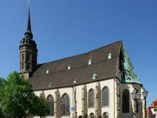 Cathedral of St PeterAttraction · 154 m from the route
- 2
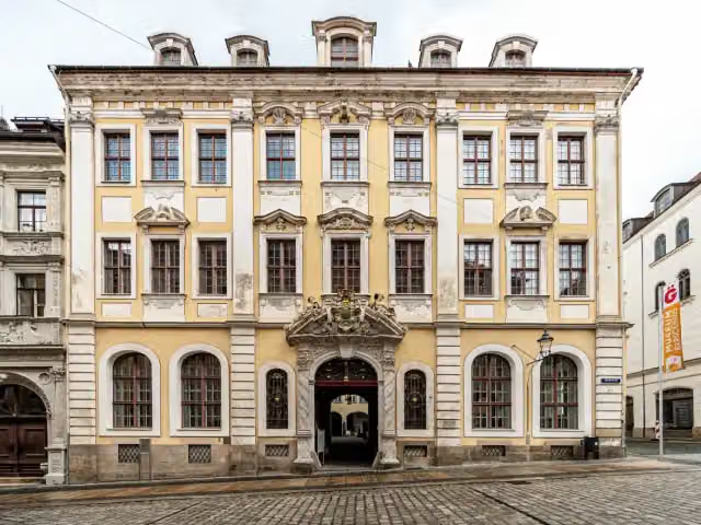 Museum of Cultural History and the Upper Lusatian Scientific LibraryMuseum · 163 m from the route
- 3
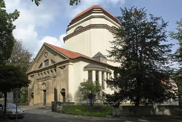 Cultural Centre Synagogue of GoerlitzAttraction · 385 m from the route
- 4
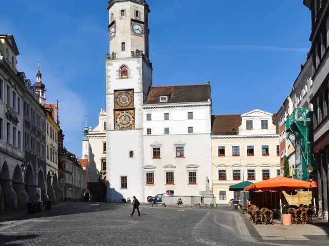 RathausAttraction · 246 m from the route
- 5
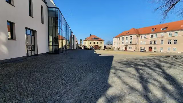 Serbski muzej - Sorbisches MuseumMuseum · 261 m from the route
- 6
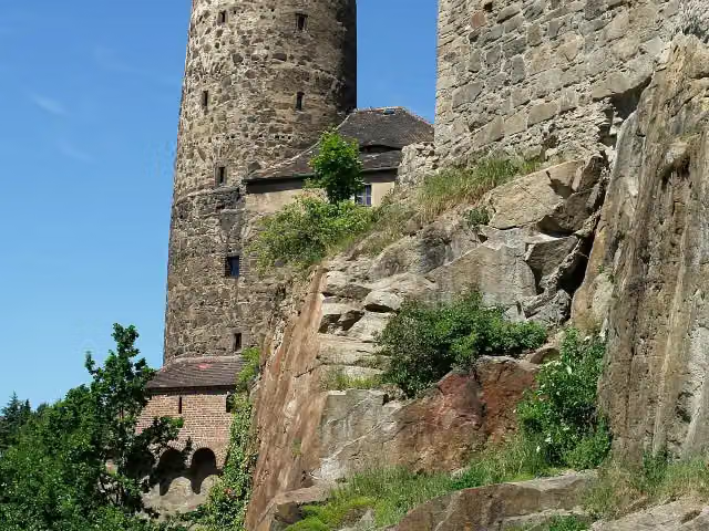 Alte WasserkunstMuseum · 445 m from the route
- 7
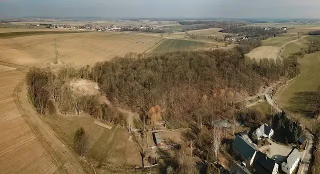 Kopšinjanske hrodźišćoArchaeological site · 1.1 km from the route
- 8
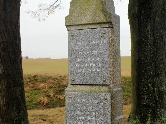 Wojerski pomnikMemorial · 1.3 km from the route
- 9
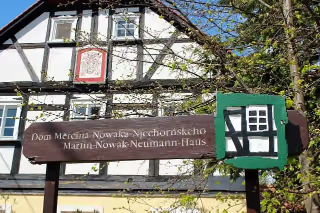 Dom Měrćina Nowaka-NjechorńskehoMuseum · 2.9 km from the route
- 10
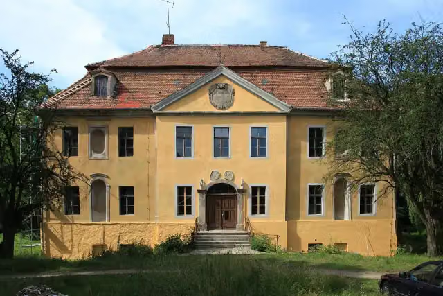 Schloss RadiborCastle · 4.2 km from the route
- 11
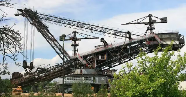 Bagger 1452 - SRS 1200Museum · 4.8 km from the route
- 12
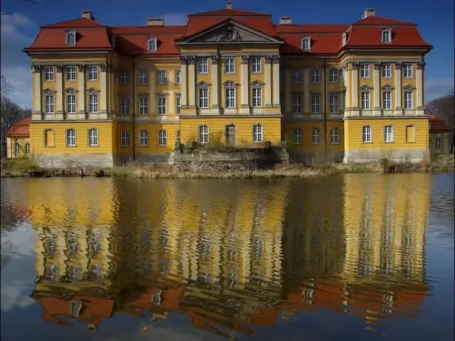 Pałac RadomierzyceAttraction · 6.2 km from the route
- 13
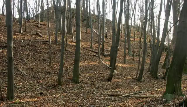 Bielplatz - frühmittelalterliche WallburgArchaeological site · 176 m from the route
- 14
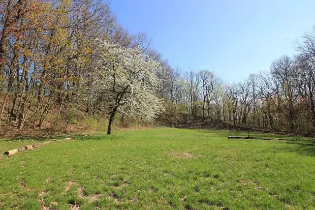 Kukowske hrodźišćoArchaeological site · 208 m from the route
- 15
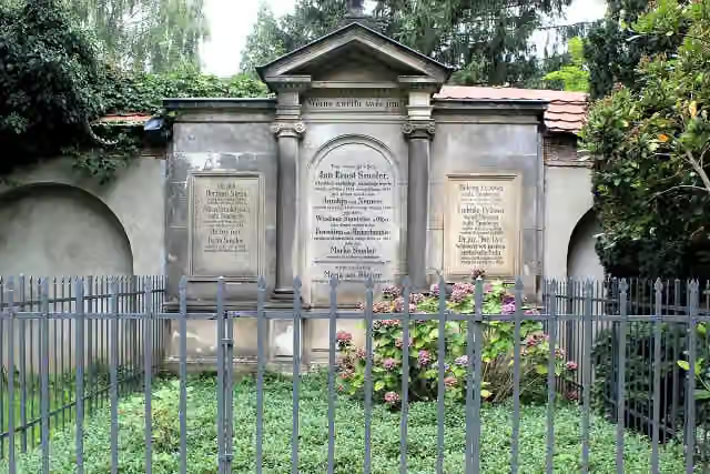 Denkmal für Jan Arnošt SmolerMemorial · 238 m from the route
- 16
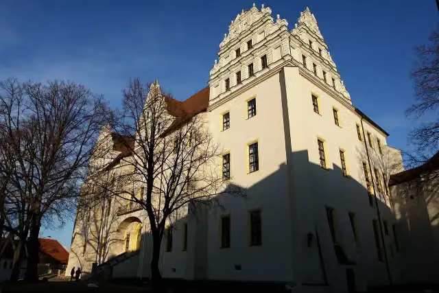 OrtenburgCastle · 239 m from the route
- 17
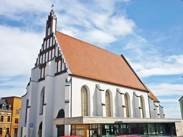 Klosterkirche und Sakralmuseum St. AnnenMuseum · 251 m from the route
- 18
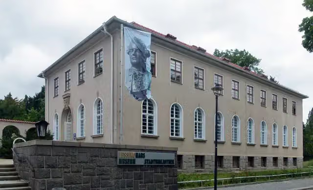 Lessing-MuseumMuseum · 343 m from the route
- 19
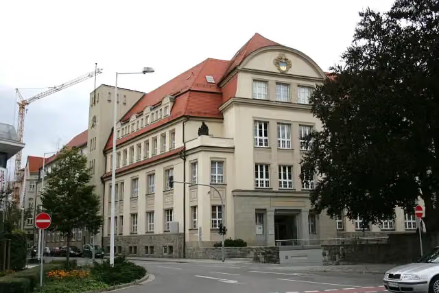 Museum BautzenMuseum · 346 m from the route
- 20
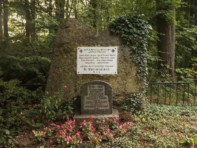 GefallenendenkmalMemorial · 374 m from the route
- 21
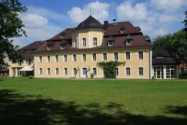 Schloss KittlitzCastle · 395 m from the route
- 22
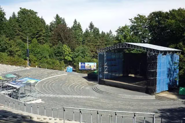 HutbergbühneAttraction · 442 m from the route
- 23
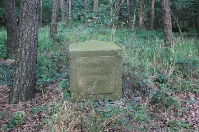 Gedenkstein 1813Memorial · 447 m from the route
- 24
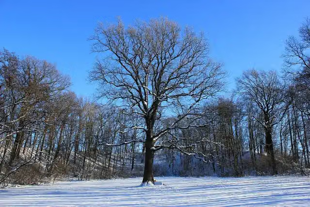 Niethener SchanzeArchaeological site · 550 m from the route
- 25
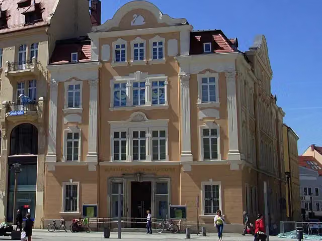 Senckenberg Museum of Natural History GoerlitzMuseum · 624 m from the route
Explore more
More cycle routes around Kamenz - Kamjenc
Frequently asked questions
How long is Sächsische Städteroute [Kamenz↔Görlitz]?
Sächsische Städteroute [Kamenz↔Görlitz] is 109.7 km long. Allow ± 7:20 h of riding: 15 km an hour, without breaks.
Is this route a circular ride?
No, the route runs from Kamenz to Görlitz.
Where does this route start?
The route starts in Kamenz - Kamjenc.
How hard is this route?
Hard, with 824 m of climbing.
Are there toilets along this route?
Yes, there are 5 public toilets within 100 m of the route. The longest stretch without a toilet is 36.2 km.
Can you fill up with water along this route?
No, there is no water point within 100 m of the route. Bring enough water.
What is there to see along this route?
Along the way you pass Elementarium, Sankt Marien and Mahnmal für die Opfer des KZ-Außenlagers Kamenz-Herrental.
Can I download this route as a GPX file?
Yes. Sign in with your Outdoor Pitstop account and choose Download GPX at the top of this page: 10 routes a month for free, unlimited with Pro.
Starting point
More routes from this place
Route data © OpenStreetMap contributors





