 Outdoor Pitstop
Cycle route · Hanover · Updated on 14 November 2026
Regionsroute 7 cycle route
Regionsroute 7 is a cycle route of 63.5 km from Hanover. Along the way you'll find 245 benches, 3 water fountains and refill points, 5 public toilets, 3 bike pumps and 1 honesty box.
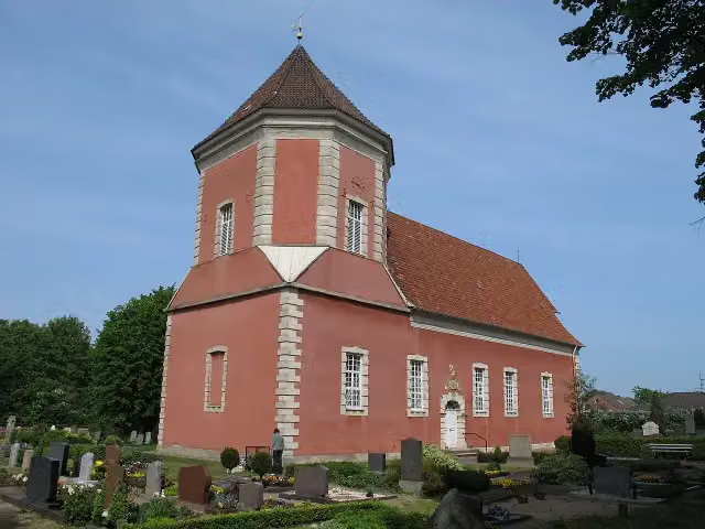
i
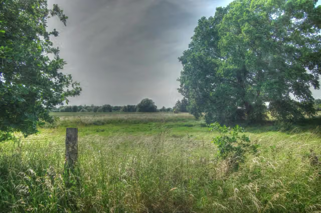
i
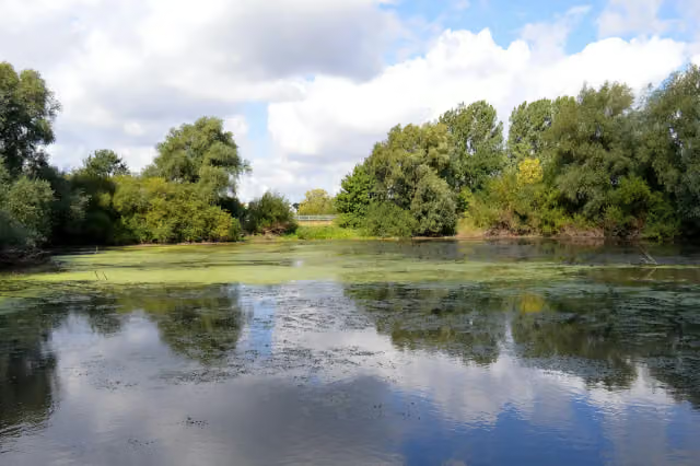
i
The route step by step
From start to finish, with what you pass along the way and the distance in between.
- 63.5 km
- ± 4:15 h
- ↑ 69 m · ↓ 96 m
- Hard
- From A to B
- Regional route
Start in Hanover
0 kmAt the start: Kunst im Dritten Reich and Ehrenfriedhof am Maschsee-Nordufer.
222 m · 105 benches

Maschsee
222 mMemorial
931 m · 21 benches
Water point
1.2 km2.4 km · 43 benches
Georg Egestorff
3.5 kmMemorial
1.1 km · 21 benches
Public toilet
4.6 km2.1 km · 14 benches
Sackmann-Denkmal and 1 more
6.7 kmSt. Nicolaikirche
189 m
Gedenktafel für das ehemalige Konzentrationslager Limmer
6.9 kmMemorial
3.7 km · 2 benches
Honesty box
10.5 km9.1 km · 18 benches
Public toilet
19.6 km569 m
Public toilet and water point
20.2 km307 m · bench
Public toilet
20.5 km214 m
Public toilet
20.7 km3.3 km
Gefallenendenkmal and 1 more
24 kmKirche Schloß Ricklingen
5.1 km · 5 benches
Water point
29.1 km155 m
3 bike pumps
29.3 km34.2 km · 15 benches
Finish
63.5 km
Longest stretch without a toilet: 42.8 kmBetween 20.7 km and 63.5 km there is no public toilet within 100 m of the route.
The route with the pitstops and sights within 100 m of it.
9 sights along the way
In the order you pass them. With the Outdoor Pitstop app you hear their story on the spot. 1 more along the route are on the map.
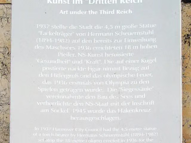
i
Photo: Bernd Schwabe in Hannover · Wikimedia Commons · CC BY-SA 3.0View the photo on Wikimedia CommonsMemorial · after 28 m
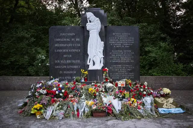
i
Photo: Christian A. Schröder (ChristianSchd) · Wikimedia Commons · CC BY-SA 4.0View the photo on Wikimedia CommonsMemorial · after 79 m
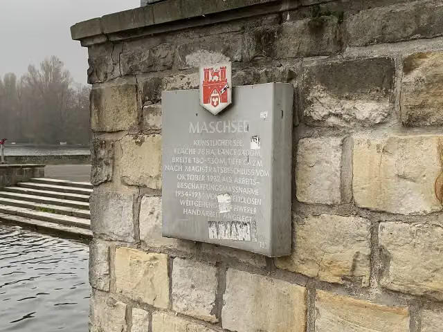
i
Photo: Nortix08 · Wikimedia Commons · CC BY-SA 4.0View the photo on Wikimedia CommonsMemorial · after 222 m
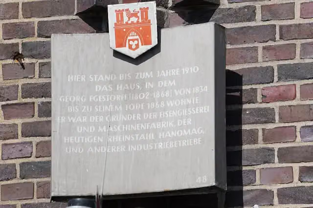
i
Photo: Tim Rademacher · Wikimedia Commons · CC BY-SA 4.0View the photo on Wikimedia CommonsMemorial · after 3.5 km
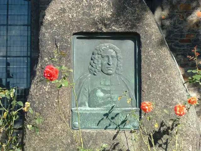
i
Photo: User:Alkibiades · Wikimedia Commons · CC BY-SA 3.0View the photo on Wikimedia CommonsMemorial · after 6.7 km
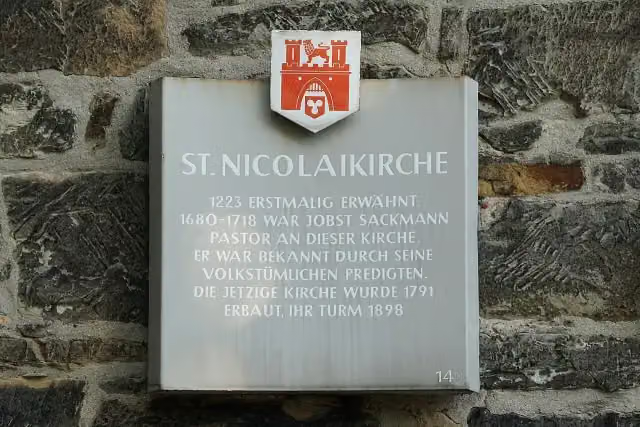
i
Photo: Tim Rademacher · Wikimedia Commons · CC BY-SA 4.0View the photo on Wikimedia CommonsMemorial · after 6.7 km
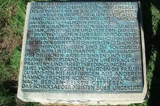
i
Photo: Tim Rademacher · Wikimedia Commons · CC BY-SA 2.0 deView the photo on Wikimedia CommonsMemorial · after 6.9 km
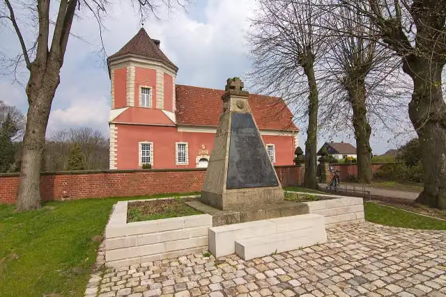
i
Photo: losch · Wikimedia Commons · CC BY-SA 3.0View the photo on Wikimedia CommonsMemorial · after 24 km
Elevation and terrain
- Up
- ↑ 69 m
- Down
- ↓ 96 m
- Highest point
- 70 m
- Lowest point
- 27 m
- 5-10% slope · 319 m
Elevation from Copernicus GLO-30 (European Union and ESA), smoothed.
produced using Copernicus WorldDEM-30 © DLR e.V. 2010-2014 and © Airbus Defence and Space GmbH 2014-2018 provided under COPERNICUS by the European Union and ESA; all rights reserved
Way types
63.5 km in total- Track: 30.9 km
- Street: 10.8 km
- Path: 10.7 km
- Road: 7 km
- Cycle path: 1.8 km
- Busy road: 1.4 km
- Footpath (walk your bike): 800 m
Surfaces
63.5 km in total- Asphalt: 37.7 km
- Gravel: 11.2 km
- Paved: 9.6 km
- Unpaved: 2.4 km
- Natural: 1 km
- Unknown: 1.5 km
About the cycle route Regionsroute 7
Updated on 14 November 2026, with data from OpenStreetMap, the AHN and Copernicus.
Where do you cycle?
Regionsroute 7 is a cycle route of 63.5 km that starts in Hanover. It does not end where it starts. You start in Maschsee and finish in Schwarmstedt. Along the way you pass Kunst im Dritten Reich (after 28 m), Ehrenfriedhof am Maschsee-Nordufer (after 79 m) and Maschsee (after 222 m).
How hard is the route?
You climb 69 m in total and descend 96 m. Allow ± 4:15 h, without breaks. The level is hard.
What roads do you cycle on?
The longest part is track (30.9 km), street (10.8 km) and path (10.7 km). Of the surface, 37.7 km asphalt and 11.2 km gravel. For 1.5 km the surface is not known.
Pitstops along the way
Within 100 metres of the route there are 245 benches, 3 water fountains and refill points, 5 public toilets, 3 bike pumps and 1 honesty box. You can fill your bottle after 1.2 km, after 20.2 km and after 29.1 km. The longest stretch without a toilet is 42.8 km. The Outdoor Pitstop app navigates you there.
Cycle routes nearby
6Sights nearby
Within 10 km of the route, best known first.
- 1
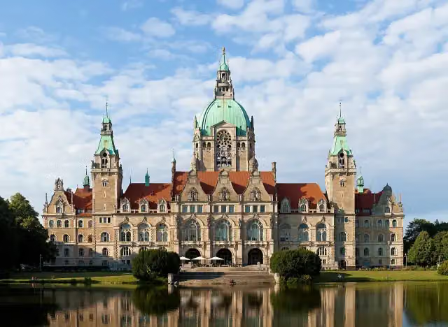 New Town HallAttraction · 453 m from the route
- 2
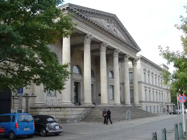 Niedersächsischer LandtagCastle · 824 m from the route
- 3
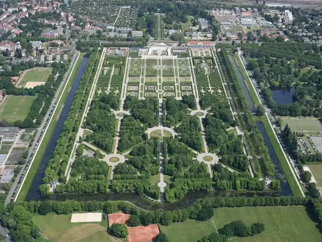 Herrenhäuser GärtenAttraction · 1.2 km from the route
- 4
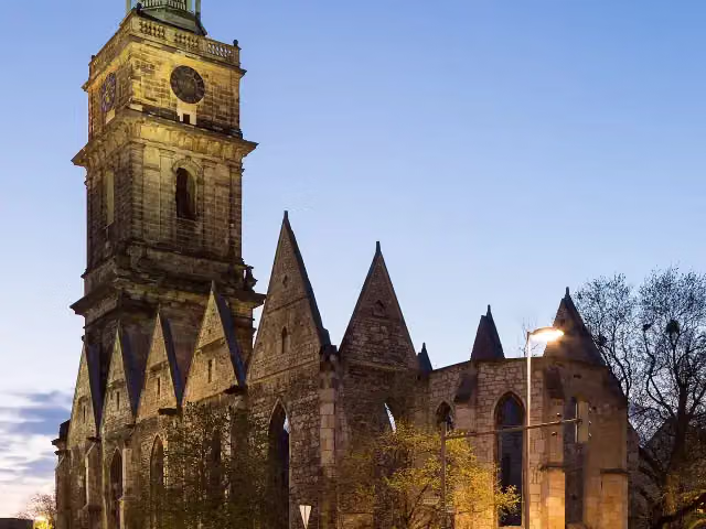 Aegidien ChurchRuins · 688 m from the route
- 5
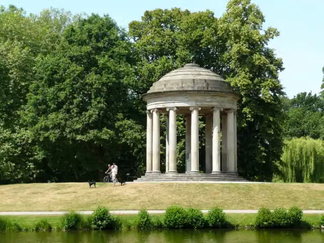 LeibniztempelMonument · 917 m from the route
- 6
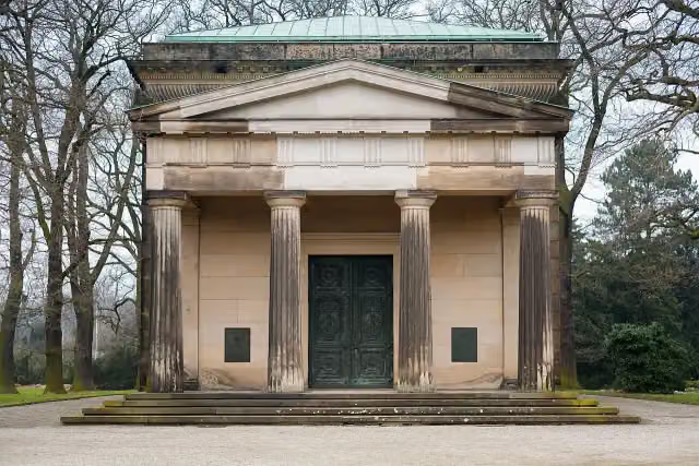 Welf family mausoleumAttraction · 1.6 km from the route
- 7
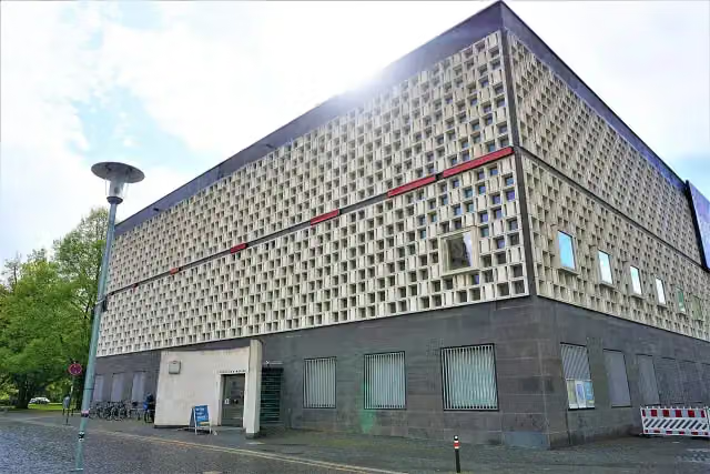 Museum August KestnerMuseum · 566 m from the route
- 8
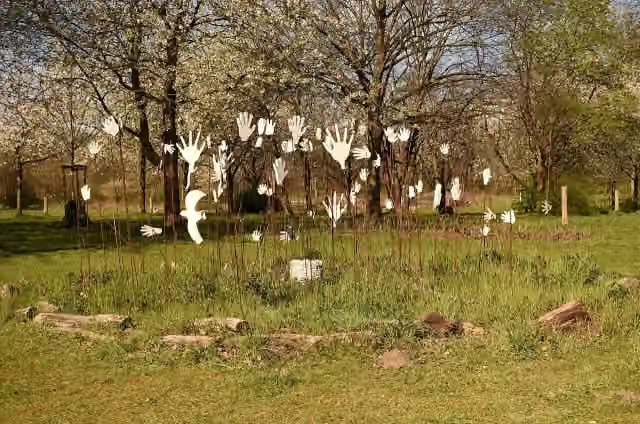 Hiroshima-GedenkhainMemorial · 2.5 km from the route
- 9
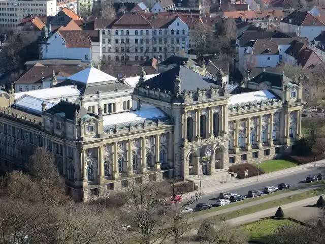 Niedersächsisches LandesmuseumMuseum · 276 m from the route
- 10
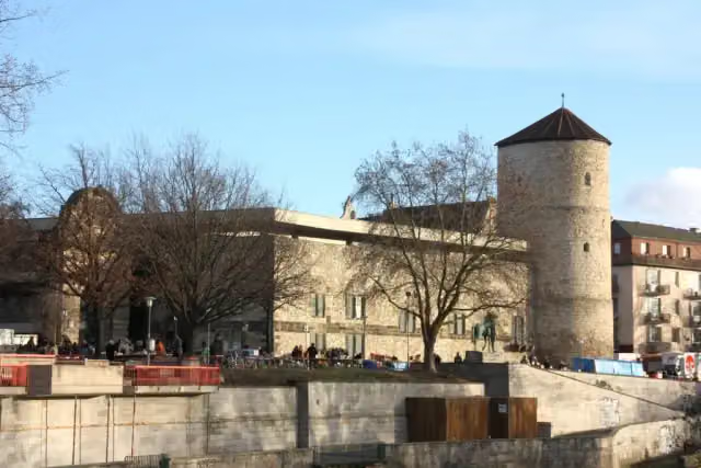 Hanover Historical MuseumMuseum · 780 m from the route
- 11
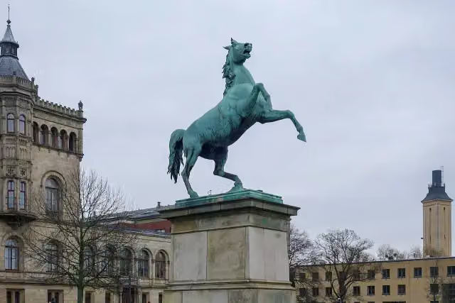 Saxon SteedMonument · 625 m from the route
- 12
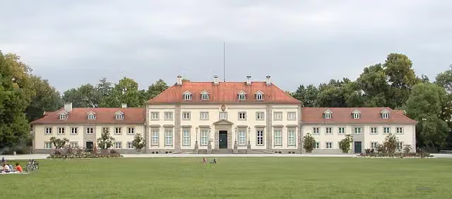 Wilhelm-Busch Deutsches Museum für Karikatur und ZeichenkunstMuseum · 629 m from the route
- 13
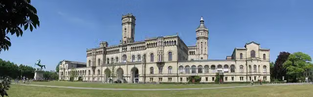 WelfenschlossAttraction · 709 m from the route
- 14
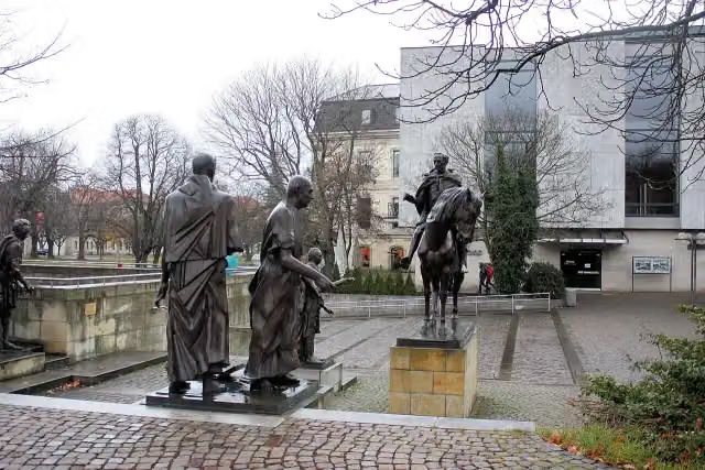 Göttinger SevenMemorial · 785 m from the route
- 15
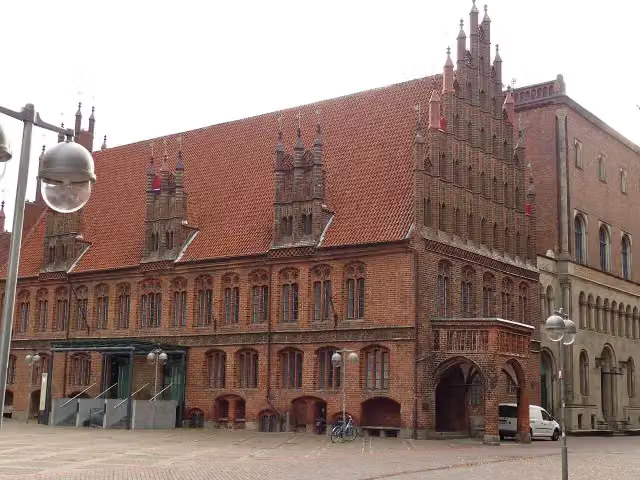 Altes RathausAttraction · 919 m from the route
- 16
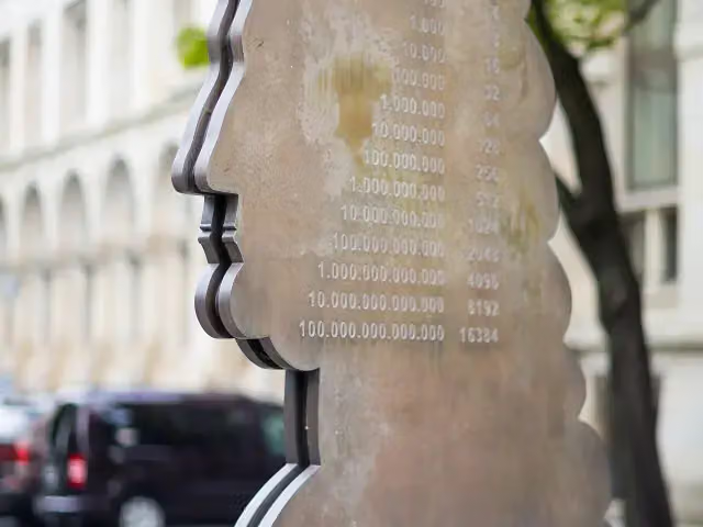 Leibniz MemorialMemorial · 925 m from the route
- 17
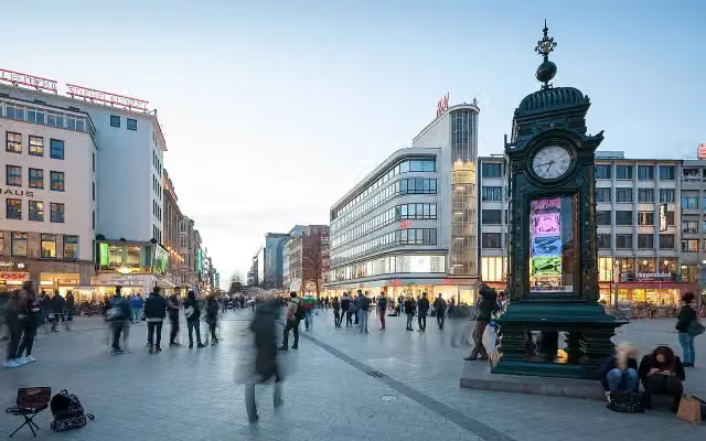 Kröpcke ClockAttraction · 1.2 km from the route
- 18
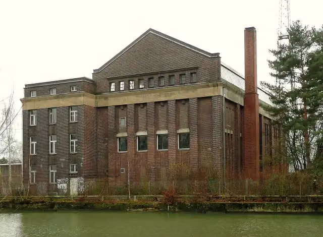 RosebuschVerlassenschaftenMuseum · 137 m from the route
- 19
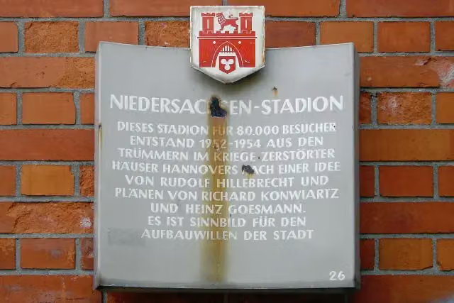 NiedersachsenstadionMemorial · 155 m from the route
- 20
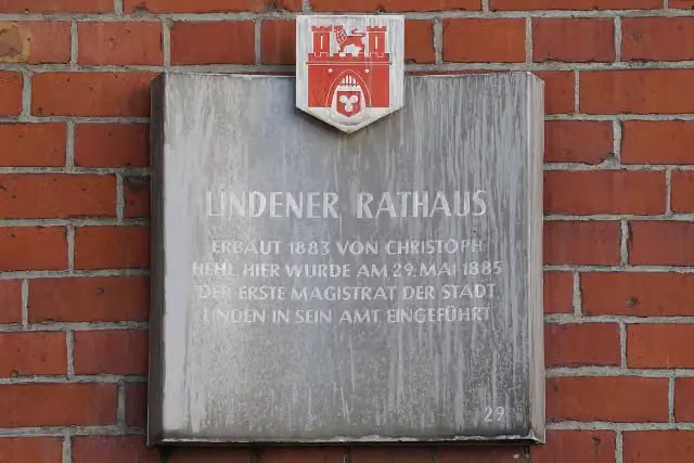 Lindener RathausMemorial · 159 m from the route
- 21
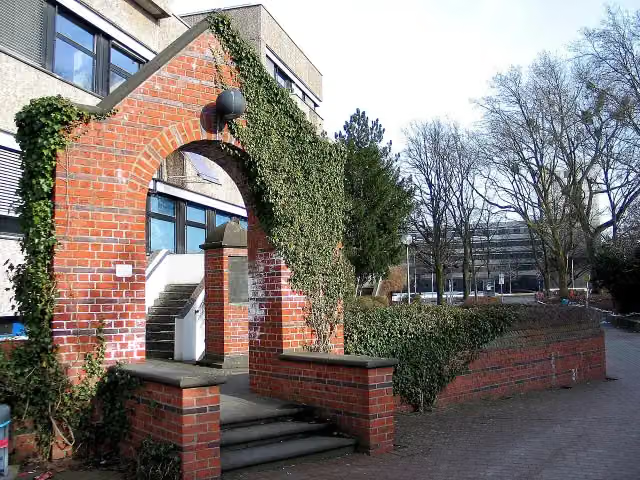 Mahnmal zur Erinnerung an jüdisches Leben in der OhestraßeMemorial · 166 m from the route
- 22
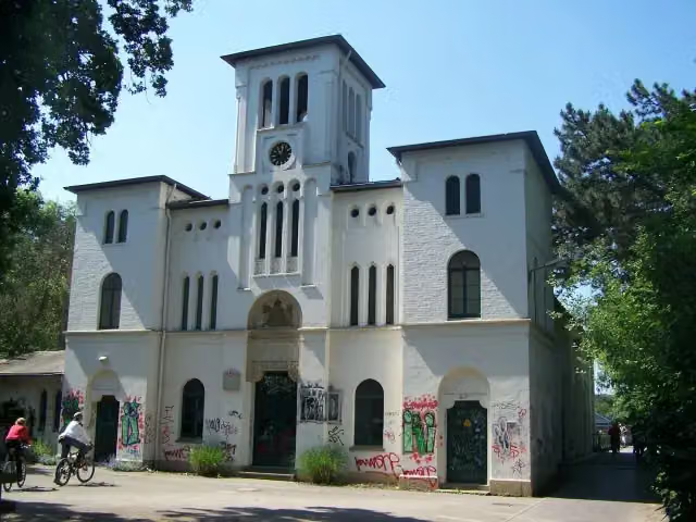 WasserkunstAttraction · 216 m from the route
- 23
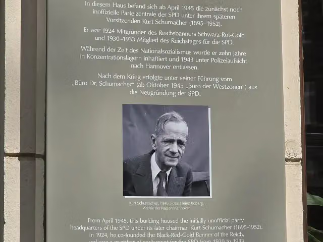 Büro Dr. Schuhmacher 1945/1946Memorial · 231 m from the route
- 24
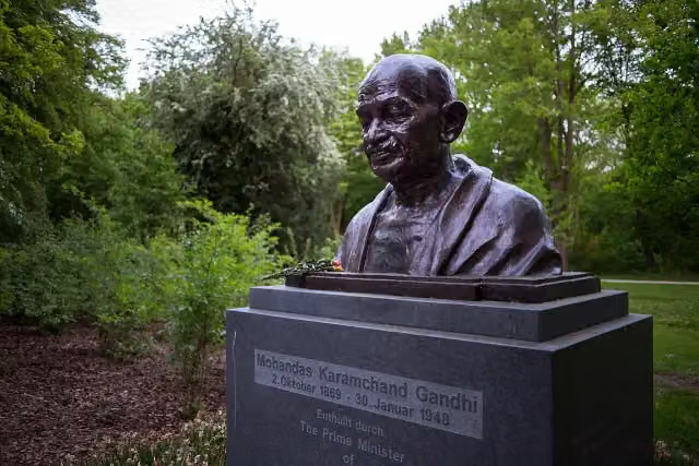 Mohandas Karamchand GandhiMemorial · 246 m from the route
- 25
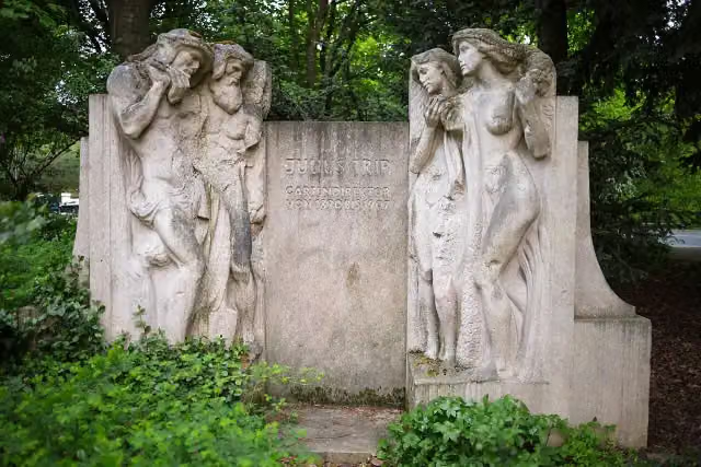 Julius TripMemorial · 253 m from the route
Explore more
More cycle routes around Hanover
Frequently asked questions
How long is Regionsroute 7?
Regionsroute 7 is 63.5 km long. Allow ± 4:15 h of riding: 15 km an hour, without breaks.
Is this route a circular ride?
No, the route runs from Maschsee to Schwarmstedt.
Where does this route start?
The route starts in Hanover.
How hard is this route?
Hard, with 69 m of climbing.
Are there toilets along this route?
Yes, there are 5 public toilets within 100 m of the route. The longest stretch without a toilet is 42.8 km.
Can you fill up with water along this route?
Yes, there are 3 water fountains and refill points within 100 m of the route.
What is there to see along this route?
Along the way you pass Kunst im Dritten Reich, Ehrenfriedhof am Maschsee-Nordufer and Maschsee.
Can I download this route as a GPX file?
Yes. Sign in with your Outdoor Pitstop account and choose Download GPX at the top of this page: 10 routes a month for free, unlimited with Pro.
Starting point
More routes from this place
Route data © OpenStreetMap contributors





