 Outdoor Pitstop
Cycle route · Pfronten · Updated on 14 November 2026
Radrunde Allgäu cycle route
Radrunde Allgäu is a cycle route of 221.6 km from Pfronten. Along the way you'll find 506 benches, 14 water fountains and refill points, 30 public toilets, 8 bike pumps and 3 honesty boxes and farm vending machines.
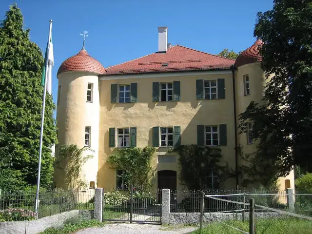
i
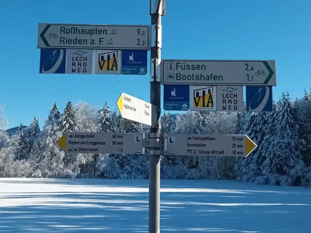
i
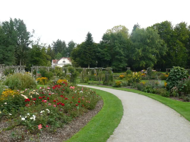
i
The route step by step
From start to finish, with what you pass along the way and the distance in between.
- 221.6 km
- ± 14:45 h
- ↑ 1,106 m · ↓ 1,496 m
- Hard
- From A to B
- Regional route
Start in Pfronten
0 km1.2 km
Public toilet
1.2 km7.1 km · 18 benches
Bike pump
8.3 km1.3 km · 10 benches
Public toilet
9.6 km1.2 km · 6 benches
Public toilet
10.8 km2.4 km · 11 benches
Water point and honesty box
13.2 km5.3 km · 21 benches

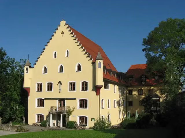
Burgenmuseum Eisenberg
18.4 kmPublic toilet and water point
2.8 km · 18 benches
Public toilet
21.2 km860 m · bench
Honesty box
22 km748 m · 5 benches
Schloss Hopferau
22.8 kmCastle
538 m · 4 benches
Public toilet
23.3 km3.4 km · 21 benches
Public toilet and bike pump
26.7 km681 m · 39 benches
2 public toilets and water point
27.4 km3 km · 10 benches
Public toilet
30.4 km333 m · 5 benches
Public toilet
30.7 km1.2 km · 17 benches
2 public toilets, 2 water fountains and refill points and bike pump
32 km470 m · 25 benches
Public toilet and water point
32.4 km1.4 km · 10 benches
Public toilet
33.8 km3.6 km · 14 benches
Public toilet
37.4 km784 m · 15 benches
Water point
38.2 km3.6 km · 6 benches
Public toilet
41.8 km450 m · 2 benches
Water point
42.3 km6.4 km · 7 benches
Bike pump
48.7 km10.4 km · 2 benches
Bike pump
59.1 km17.8 km · 18 benches
Public toilet
76.9 km558 m · 11 benches
Water point
77.4 km169 m · bench
Stadtmuseum
77.6 kmPublic toilet and water point
12.1 km · 27 benches
Water point
89.7 km5.2 km · 8 benches
Public toilet
94.9 km199 m
Public toilet
95.1 km
Show the other 21 steps
486 m · 3 benches
Public toilet
95.6 km32.3 km · 24 benches
Museum für zeitgenössische Kunst
127.9 kmMuseum
22.1 km · 19 benches
Aussichtsturm
150 kmObservation tower
884 m · 3 benches
Luginsland and 2 more
150.9 kmUlmer Tor and Bettelturm
255 m · 15 benches
Stadtmuseum
151.1 kmBike pump
218 m · 4 benches
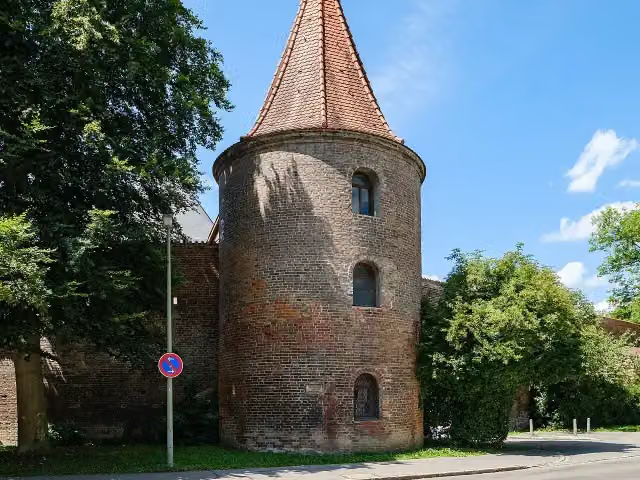
Hexenturm
151.3 km2 public toilets
367 m
MEWO Kunsthalle
151.7 kmMuseum
314 m · 3 benches
Public toilet
152 km18.2 km · 24 benches
Schlössle
170.2 kmCastle
197 m
Public toilet
170.4 km9.6 km · 16 benches
Schwäbisches Bauernhofmuseum Illerbeuren
180.1 kmPublic toilet
341 m
Alter Bahnhof Illerbeuren 1904-1972
180.4 kmMemorial
1.7 km · 4 benches
Bike pump
182.1 km11.3 km · 11 benches
Water point
193.4 km964 m · 3 benches
Public toilet
194.4 km286 m · 6 benches
Public toilet and water point
194.6 km18 km · 27 benches
Public toilet and bike pump
212.6 km188 m · 7 benches
Wurzacher Schloss
212.8 kmCastle
1.5 km · 4 benches
Honesty box
214.3 km1.8 km · bench
Water point
216.1 km5.5 km
Finish
221.6 km
Longest stretch without a toilet: 55.8 kmBetween 95.6 km and 151.3 km there is no public toilet within 100 m of the route.
The route with the pitstops and sights within 100 m of it.
15 sights along the way
In the order you pass them. With the Outdoor Pitstop app you hear their story on the spot. 7 more along the route are on the map.
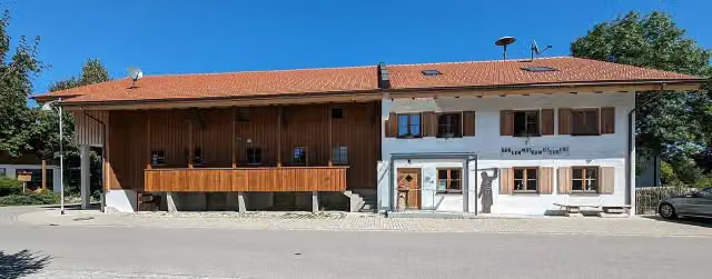
i
Photo: Molgreen · Wikimedia Commons · CC BY-SA 4.0View the photo on Wikimedia CommonsMuseum · after 18.5 km
i
Photo: LoKiLeCh · Wikimedia Commons · CC BY-SA 3.0View the photo on Wikimedia CommonsCastle · after 22.8 km
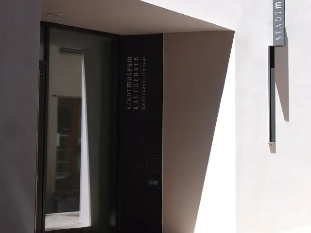
Museum · after 77.6 km
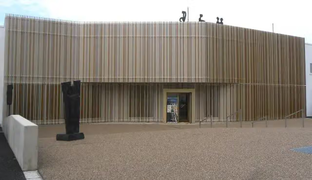
i
Photo: Jan Gumpinger · Wikimedia Commons · CC BY 3.0View the photo on Wikimedia CommonsMuseum · after 127.9 km

Observation tower · after 150 km
Attraction · after 150.9 km
Attraction · after 150.9 km
i
Photo: 2015 Michael 2015 · Wikimedia Commons · CC BY-SA 4.0View the photo on Wikimedia CommonsAttraction · after 151 km
Elevation and terrain
- Up
- ↑ 1,106 m
- Down
- ↓ 1,496 m
- Highest point
- 1,061 m
- Lowest point
- 588 m
- 5-10% slope · 1.1 km
Elevation from Copernicus GLO-30 (European Union and ESA), smoothed.
produced using Copernicus WorldDEM-30 © DLR e.V. 2010-2014 and © Airbus Defence and Space GmbH 2014-2018 provided under COPERNICUS by the European Union and ESA; all rights reserved
Way types
221.6 km in total- Road: 92.2 km
- Path: 55 km
- Street: 33.7 km
- Track: 26.9 km
- Cycle path: 5.5 km
- Busy road: 5 km
- Footpath (walk your bike): 2.7 km
Surfaces
221.6 km in total- Asphalt: 192.1 km
- Gravel: 9.3 km
- Paved: 6.2 km
- Unpaved: 1.7 km
- Unknown: 11.8 km
About the cycle route Radrunde Allgäu
Updated on 14 November 2026, with data from OpenStreetMap, the AHN and Copernicus.
Where do you cycle?
Radrunde Allgäu is a cycle route of 221.6 km that starts in Pfronten. It does not end where it starts. Along the way you pass Burgenmuseum Eisenberg (after 18.5 km), Schloss Hopferau (after 22.8 km) and Stadtmuseum (after 77.6 km).
How hard is the route?
You climb 1,106 m in total and descend 1,496 m. Allow ± 14:45 h, without breaks. The level is hard.
What roads do you cycle on?
The longest part is road (92.2 km), path (55 km) and street (33.7 km). Of the surface, 192.1 km asphalt and 9.3 km gravel. For 11.8 km the surface is not known.
Pitstops along the way
Within 100 metres of the route there are 506 benches, 14 water fountains and refill points, 30 public toilets, 8 bike pumps and 3 honesty boxes and farm vending machines. The longest stretch without a toilet is 55.8 km. The Outdoor Pitstop app navigates you there.
Cycle routes nearby
2Sights nearby
Within 10 km of the route, best known first.
- 1
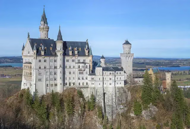 Neuschwanstein CastleAttraction · 3.5 km from the route
- 2
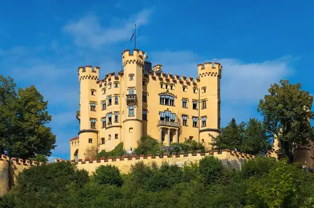 Schloss HohenschwangauAttraction · 2.7 km from the route
- 3
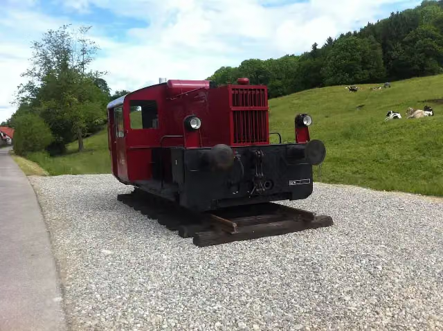 Köf II zur Erinnerung an das das Sachsenrieder BähnleMemorial · 9.7 km from the route
- 4
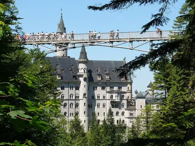 Queen Mary's BridgeAttraction · 3.6 km from the route
- 5
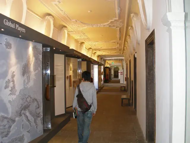 Museum der Stadt FüssenMuseum · 357 m from the route
- 6
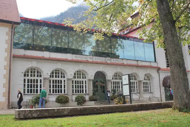 Museum of the Bavarian KingsMuseum · 2.8 km from the route
- 7
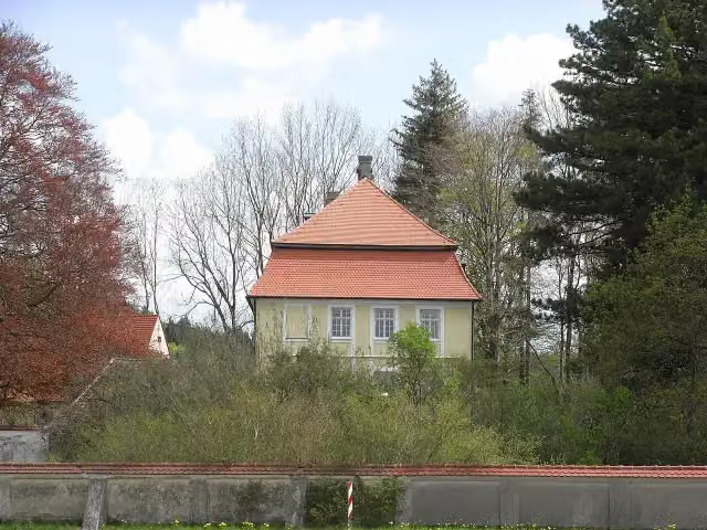 Schloss GrünenfurtCastle · 87 m from the route
- 8
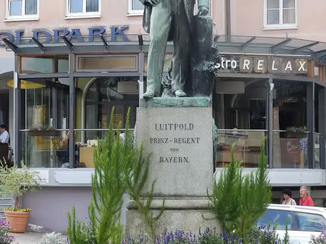 LuitpolddenkmalMemorial · 112 m from the route
- 9
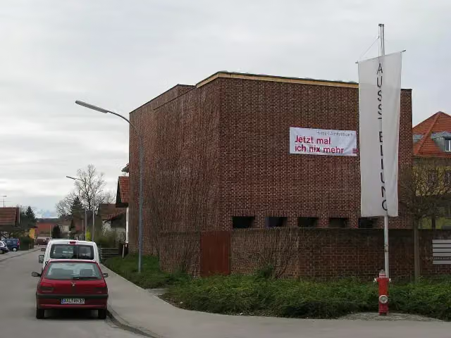 KünstlerhausMuseum · 148 m from the route
- 10
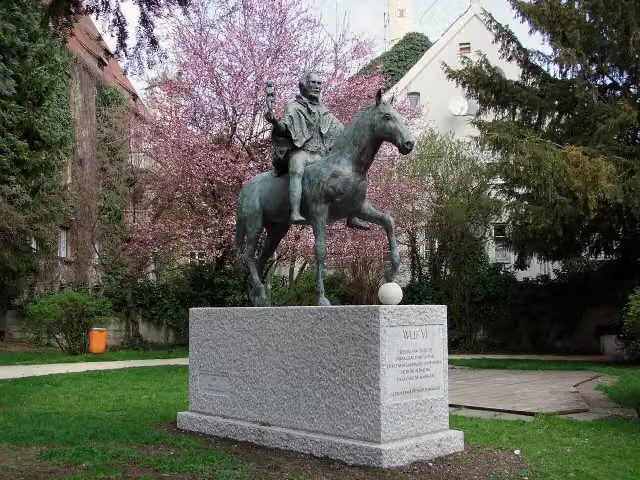 MemorialMemorial · 177 m from the route
- 11
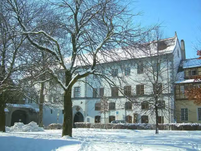 Strigel-MuseumMuseum · 191 m from the route
- 12
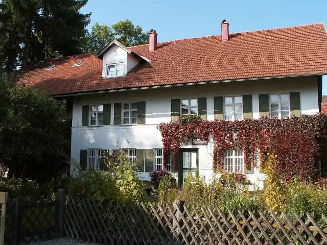 HartmannhausMuseum · 196 m from the route
- 13
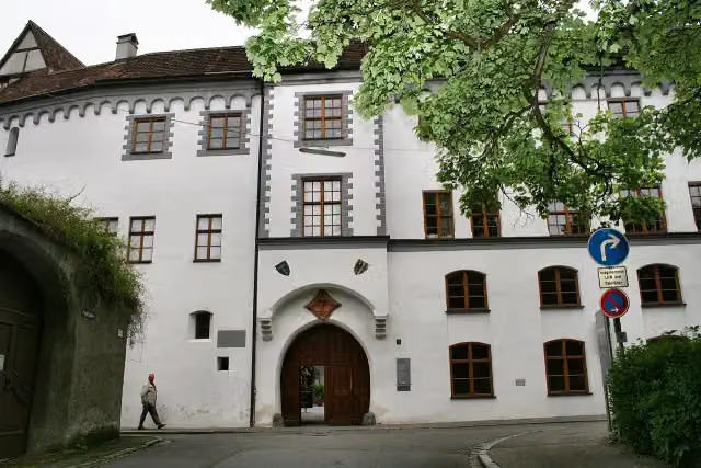 Antoniter-MuseumMuseum · 201 m from the route
- 14
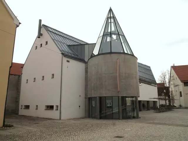 KunsthausMuseum · 208 m from the route
- 15
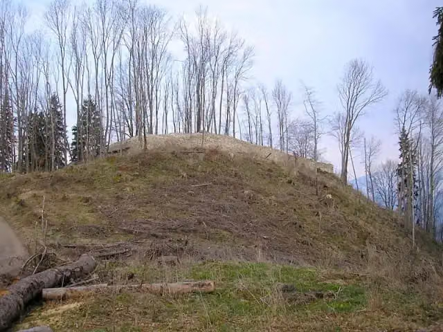 Burgruine Hopfen am SeeAttraction · 208 m from the route
- 16
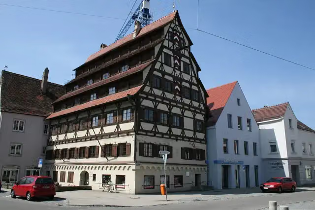 SiebendächerhausAttraction · 284 m from the route
- 17
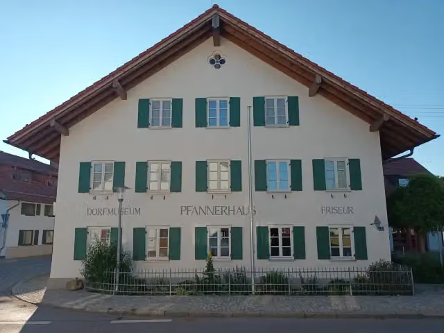 DorfmuseumMuseum · 286 m from the route
- 18
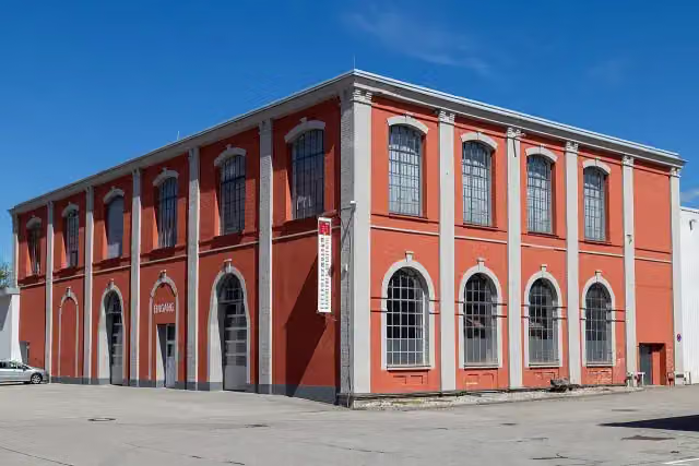 Feuerwehrmuseum Kaufbeuren-OstallgäuMuseum · 322 m from the route
- 19
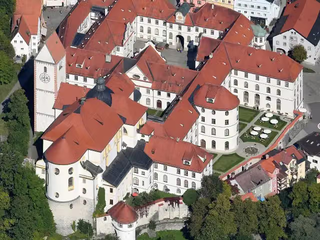 Former St Mang’s AbbeyAttraction · 338 m from the route
- 20
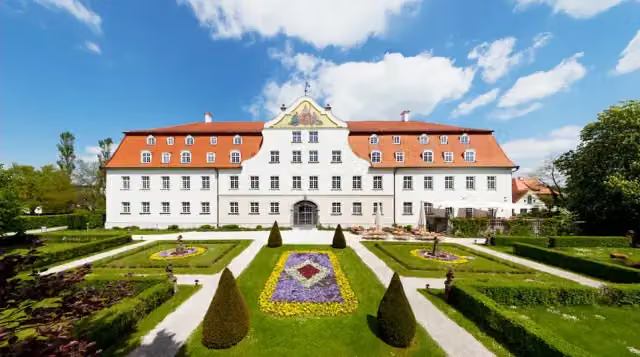 Schloss LautrachCastle · 342 m from the route
- 21
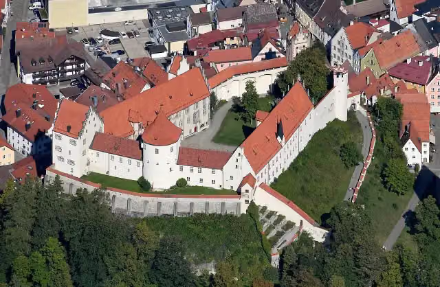 Hohes SchlossAttraction · 358 m from the route
- 22
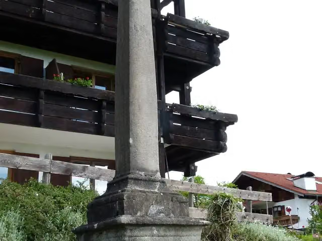 MagnussäuleMemorial · 361 m from the route
- 23
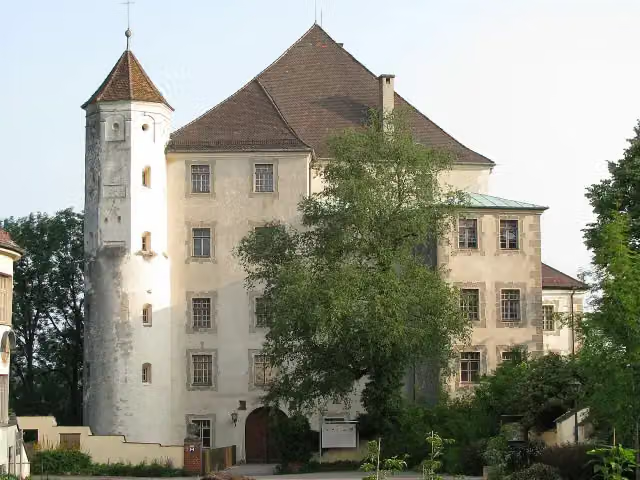 Hohes SchlossCastle · 373 m from the route
- 24
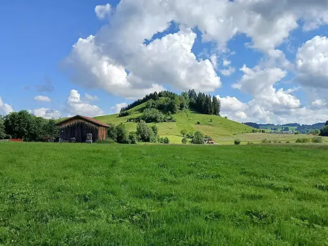 Großer JosbergViewpoint · 385 m from the route
- 25
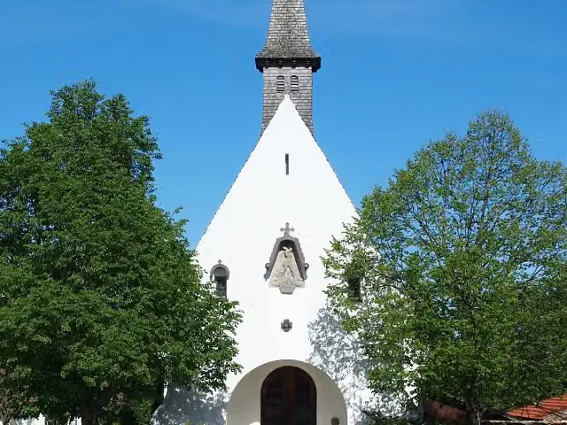 GedächtniskapelleMemorial · 386 m from the route
Explore more
More cycle routes around Pfronten
Frequently asked questions
How long is Radrunde Allgäu?
Radrunde Allgäu is 221.6 km long. Allow ± 14:45 h of riding: 15 km an hour, without breaks.
Is this route a circular ride?
No, the route starts and ends at different spots.
Where does this route start?
The route starts in Pfronten.
How hard is this route?
Hard, with 1,106 m of climbing.
Are there toilets along this route?
Yes, there are 30 public toilets within 100 m of the route. The longest stretch without a toilet is 55.8 km.
Can you fill up with water along this route?
Yes, there are 14 water fountains and refill points within 100 m of the route.
What is there to see along this route?
Along the way you pass Burgenmuseum Eisenberg, Schloss Hopferau and Stadtmuseum.
Can I download this route as a GPX file?
Yes. Sign in with your Outdoor Pitstop account and choose Download GPX at the top of this page: 10 routes a month for free, unlimited with Pro.
Starting point
More routes from this place
Route data © OpenStreetMap contributors





