 Outdoor Pitstop
Cycle route · Brandenburg an der Havel · Updated on 14 November 2026
Tour Brandenburg cycle route
Tour Brandenburg is a cycle route of 1,168.4 km from Brandenburg an der Havel that starts and ends at the same spot. Along the way you'll find 1,472 benches, 23 water fountains and refill points, 77 public toilets, 18 bike pumps and 2 honesty boxes and farm vending machines.
i
i
i
The route step by step
From start to finish, with what you pass along the way and the distance in between.
- 1,168.4 km
- ± 4:20 h per stage
- ↑ 2,580 m · ↓ 2,582 m
- Hard per stage
- Circular ride
- Regional route
Start in Brandenburg an der Havel
0 kmAt the start: water point and bike pump.
1.3 km · 59 benches
Public toilet and bike pump
1.3 km353 m · 39 benches
Public toilet
1.7 km248 m · 16 benches

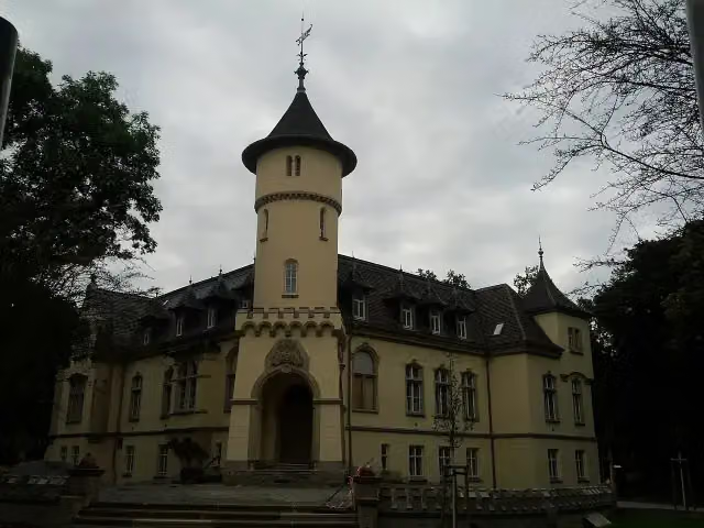
Straßenbahnmuseum
1.9 kmMuseum
268 m
Public toilet
2.2 km615 m · 3 benches
Bike pump
2.8 km4.3 km · 6 benches
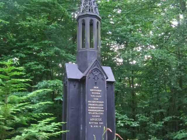
Brösedenkmal
7.1 kmPublic toilet
166 m
Bike pump
7.3 km4.4 km · 3 benches
Public toilet and water point
11.7 km4 km · 3 benches
Bike pump
15.7 km6.1 km · 18 benches
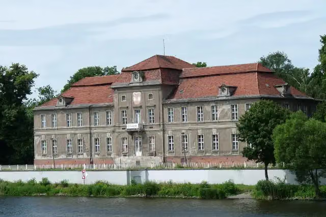
Schloss Plaue
21.8 kmPublic toilet
12.6 km · 12 benches
Public toilet
34.4 km21.3 km · 15 benches
Public toilet
55.8 km13.6 km · 24 benches
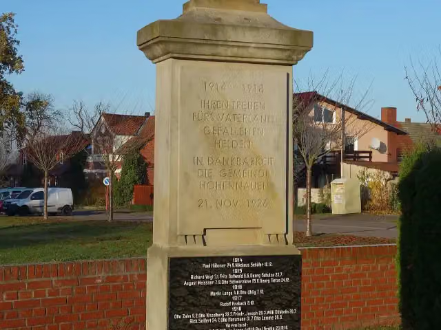
Gefallenendenkmal
69.4 kmBike pump
37.6 km · 7 benches
Observation tower
107 kmObservation tower
10.8 km · bench
Beguinenhaus
117.8 kmPublic toilet
216 m
Public toilet and water point
118 km17.7 km · 4 benches
Public toilet and water point
135.8 km167 m
Public toilet
136 km36.5 km · 18 benches
Bike pump
172.5 km883 m
Public toilet
173.4 km156 m
Water point
173.5 km16.8 km · 7 benches
Ehemaliger Grenzwachturm
190.3 kmObservation tower
16.3 km · 6 benches
Burg Lenzen
206.6 kmPublic toilet
5.7 km · bench
Rudower Seeblick
212.3 kmObservation tower
4.9 km
Observation tower
217.3 kmObservation tower
12.2 km · 2 benches
Freiherr-vom-Stein-Denkmal
229.4 kmMemorial
18 km · 2 benches
2 public toilets and 2 bike pumps
247.5 km18.6 km · 4 benches
Gutshaus Schloss Wolfshagen
266 kmMuseum
14.2 km
Bike pump
280.3 km
Show the other 94 steps
17.5 km · 3 benches
2 public toilets
297.7 km9.7 km · 2 benches
Public toilet
307.4 km303 m · bench
Public toilet
307.7 km23.6 km · 2 benches
Honesty box
331.3 km20.5 km · 11 benches
Public toilet
351.7 km11.9 km · 12 benches
NaturParkHaus Stechlin
363.6 kmMuseum
14.4 km · 13 benches
Kriegerdenkmal 1914-1918
378 kmMemorial
8 km · 39 benches
Kloster Himmelpfort
386 kmPublic toilet, water point and bike pump
758 m · 6 benches
Public toilet
386.8 km2.2 km · 10 benches
Public toilet
389 km7.7 km · 22 benches
Public toilet
396.7 km406 m · 6 benches
Flößereimuseum
397.1 kmMuseum
317 m · 11 benches
Public toilet and bike pump
397.4 km374 m · 17 benches
Public toilet
397.8 km19.7 km · 23 benches
Public toilet
417.5 km1 km · 10 benches
Museum für Stadtgeschichte Templin and 1 more
418.5 kmPrenzlauer Tor
3.6 km · 14 benches
Public toilet
422 km27.5 km · 16 benches
Bike pump
449.5 km678 m · 3 benches
2 water fountains and refill points
450.1 km463 m · 2 benches
Burgruine Grimnitz
450.6 kmPublic toilet
4 km · 7 benches
Public toilet
454.6 km25.1 km · 11 benches
Boat Lift Niederfinow
479.7 kmPublic toilet
210 m · 10 benches
Public toilet and water point
479.9 km11.3 km · 5 benches
Oderberg Inland Navigation Museum and 1 more
491.2 kmMuseum Ship 'Riesa' and public toilet
10.5 km · 12 benches
2 water fountains and refill points
501.7 km52.6 km · 19 benches
Public toilet
554.3 km4.4 km · 36 benches
Public toilet
558.6 km33.2 km · 77 benches
Public toilet
591.9 km4.7 km · 8 benches
Antifaschistischer Widerstand
596.6 km2 public toilets
370 m · 3 benches
Public toilet
596.9 km607 m · 8 benches
Museum Fürstenwalde and 1 more
597.5 kmJagdschloss Fürstenwalde
34.7 km · 18 benches
Ältestes Haus in Beeskow
632.3 kmPublic toilet and water point
470 m · 32 benches
Burg Beeskow
632.7 kmCastle
4.7 km · 2 benches
Water point
637.4 km6.2 km · bench
StreleBurg Friedland
643.6 kmPublic toilet
51.5 km · 10 benches
Public toilet
695.2 km1.7 km · 6 benches
Eisenhütten- und Fischereimuseum
696.8 kmMuseum
12 km · 9 benches
Spreewehrmühle
708.8 kmMuseum
4.1 km · 92 benches
2 public toilets
712.9 km2.7 km · 4 benches
Spreebrücke
715.6 kmAttraction
14.8 km · 8 benches
Public toilet
730.4 km209 m · bench
2 public toilets
730.6 km29.5 km · 8 benches
Bike pump
760.1 km13.3 km · 4 benches
Bike pump
773.4 km494 m
Public toilet
773.9 km307 m · 4 benches
2 public toilets
774.2 km7.7 km · 8 benches
Public toilet
782 km276 m · 2 benches
Public toilet and water point
782.2 km1.2 km · 6 benches
Public toilet and water point
783.4 km866 m · 9 benches
Public toilet
784.3 km546 m · 5 benches
Water point
784.8 km1.4 km · 44 benches
Water point
786.2 km545 m · 5 benches
Public toilet
786.8 km771 m · 9 benches
Public toilet and water point
787.5 km1.3 km · 6 benches
Public toilet and water point
788.8 km280 m · 2 benches
Public toilet
789.1 km13.3 km · 21 benches
Schloss Hohenbocka
802.4 kmCastle
23.4 km · 21 benches
Gefallenendenkmal 1870/71
825.8 kmMemorial
513 m · 6 benches
2 public toilets and water point
826.4 km36.4 km · 16 benches
Kursächsische Postmeilensäule
862.7 kmAttraction
16.9 km · 45 benches
Friedrich-Wilhelm-Denkmal
879.6 kmMemorial
5.5 km · 11 benches
Kursächsische Postmeilensäule
885.2 kmAttraction
236 m
Heimatmuseum Wahrenbrück
885.4 kmMuseum
2.8 km · 2 benches
Public toilet
888.2 km6.4 km · 10 benches
Kursächsische Postmeilensäule
894.5 kmAttraction
17.4 km · 20 benches
Public toilet
912 km18.1 km · 7 benches
Gefallenendenkmal Schönewalde (1914-18)
930.1 kmMemorial
52.4 km · 52 benches
Heimatmuseum and 2 more
982.5 kmGefallenendenkmal (1848 und 1864), Gefallenendenkmal (1866 und 1870/71) and public toilet
1 km · 9 benches
2 public toilets
983.5 km1 km · 7 benches
Public toilet
984.6 km4.3 km · 41 benches
Public toilet
988.8 km11.2 km · 3 benches
Webermuseum
1,000 kmMuseum
19 km · 32 benches
Grenadierdenkmal
1,019.1 kmMemorial
1.3 km
Ehrenhain für die Gefallenen der Schlacht bei Dennewitz (1813) mit Zugangsallee und Wächterhaus and 1 more
1,020.4 kmSchinkel-Tabernakel von Dennewitz
28.4 km · 4 benches
Gedenkstein für drei sowjetische Zwangsarbeiter
1,048.8 kmMemorial
7.2 km · bench
Water point
1,056 km4.4 km · bench
Gefallenendenkmal (1914-18) and 1 more
1,060.4 kmGefallenendenkmal (1870/71)
382 m
Lenin-Gedenkstein
1,060.8 kmMemorial
25.3 km · 4 benches
Weltkriegsdenkmal Grubo
1,086.2 kmMemorial
8.4 km · 7 benches
Burg Eisenhardt
1,094.6 kmPublic toilet
176 m · 5 benches
Kursächsische Postmeilensäule
1,094.8 kmAttraction
236 m · 2 benches
Roger-Loewig-Museum
1,095 kmMuseum
328 m · 14 benches
2 public toilets
1,095.3 km910 m · 10 benches
Public toilet and water point
1,096.2 km603 m · 16 benches
Public toilet
1,096.8 km259 m · 2 benches
Public toilet
1,097.1 km15.9 km · 34 benches
Kursächsische Postmeilensäule
1,113 kmAttraction
29.8 km · 26 benches
Honesty box
1,142.8 km16.3 km · 13 benches
Bike pump
1,159.1 km1 km
Gutshaus Gollwitz
1,160.1 kmCastle
3.3 km
Public toilet
1,163.4 km3.7 km · 13 benches
Public toilet and bike pump
1,167.1 km774 m · 15 benches
Archäologisches Landesmuseum Brandenburg
1,167.9 kmPublic toilet
510 m · 26 benches
Back at the start
1,168.4 kmAt the finish: water point and bike pump.
Longest stretch without a toilet: 105.8 kmBetween 988.8 km and 1,094.6 km there is no public toilet within 100 m of the route.
The route with the water points, toilets and sights within 100 m of it.
57 sights along the way
In the order you pass them. With the Outdoor Pitstop app you hear their story on the spot. 49 more along the route are on the map.

Museum · after 1.9 km
i
Photo: No machine-readable author provided. Martinum~commonswiki assumed (based on copyright claims). · Wikimedia Commons · CC BY-SA 3.0View the photo on Wikimedia CommonsMemorial · after 7.1 km
i
Photo: Biberbaer · Wikimedia Commons · CC BY-SA 3.0View the photo on Wikimedia CommonsCastle · after 21.8 km
i
Photo: Hans G. Oberlack · Wikimedia Commons · CC BY-SA 4.0View the photo on Wikimedia CommonsMemorial · after 69.4 km
Observation tower · after 107 km
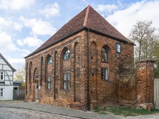
i
Photo: Radler59 (talk) · Wikimedia Commons · CC BY-SA 4.0View the photo on Wikimedia CommonsAttraction · after 117.8 km
Observation tower · after 190.3 km
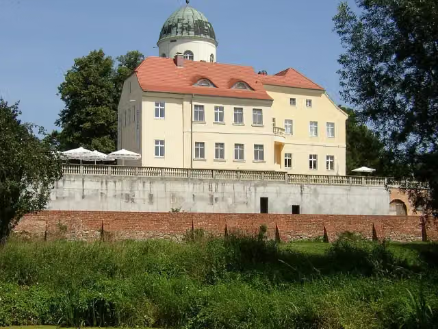
i
Photo: Doris Antony, Berlin · Wikimedia Commons · CC BY-SA 3.0View the photo on Wikimedia CommonsCastle · after 206.7 km
Stages (18)
- 1Tour Brandenburg 156.9 km
- 2Tour Brandenburg 270 km
- 3Tour Brandenburg 346 km
- 4Tour Brandenburg 474.5 km
- 5Tour Brandenburg 559.5 km
- 6Tour Brandenburg 672 km
- 7Tour Brandenburg 740.9 km
- 8Tour Brandenburg 845 km
- 9Tour Brandenburg 961.5 km
- 10Tour Brandenburg 1069.6 km
- 11Tour Brandenburg 1135.8 km
- 12Tour Brandenburg 1282.6 km
- 13Tour Brandenburg 1371.2 km
- 14Tour Brandenburg 14110.9 km
- 15Tour Brandenburg 1587.1 km
- 16Tour Brandenburg 1660.7 km
- 17Tour Brandenburg 1751.1 km
- 18Tour Brandenburg 1873.1 km
Elevation and terrain
- Up
- ↑ 2,580 m
- Down
- ↓ 2,582 m
- Highest point
- 178 m
- Lowest point
- 2 m
- 3 stairs
Elevation from Copernicus GLO-30 (European Union and ESA), smoothed.
produced using Copernicus WorldDEM-30 © DLR e.V. 2010-2014 and © Airbus Defence and Space GmbH 2014-2018 provided under COPERNICUS by the European Union and ESA; all rights reserved
Way types
1,168.4 km in total- Path: 389.5 km
- Road: 237.3 km
- Track: 213.5 km
- Street: 166.8 km
- Busy road: 79.9 km
- Cycle path: 67.7 km
- Footpath (walk your bike): 11.7 km
- Steps (carry your bike): 3 stairs
- Unknown: 175 m
Surfaces
1,168.4 km in total- Asphalt: 913.6 km
- Paved: 148 km
- Gravel: 56.1 km
- Unpaved: 6.9 km
- Natural: 2.3 km
- Unknown: 39.7 km
About the cycle route Tour Brandenburg
Updated on 14 November 2026, with data from OpenStreetMap, the AHN and Copernicus.
Where do you cycle?
Tour Brandenburg is a circular ride of 1,168.4 km from Brandenburg an der Havel: it starts and ends in the same place. You start in Brandenburg an der Havel and finish in Brandenburg an der Havel. Along the way you pass Straßenbahnmuseum (after 1.9 km), Brösedenkmal (after 7.1 km) and Schloss Plaue (after 21.8 km).
How hard is the route?
You climb 2,580 m in total and descend 2,582 m. There are 3 flights of steps along the way. Allow ± 4:20 h per stage, without breaks. Per stage the level is hard.
What roads do you cycle on?
The longest part is path (389.5 km), road (237.3 km) and track (213.5 km). Of the surface, 913.6 km asphalt and 148 km paved. For 39.7 km the surface is not known.
Pitstops along the way
Within 100 metres of the route there are 1,472 benches, 23 water fountains and refill points, 77 public toilets, 18 bike pumps and 2 honesty boxes and farm vending machines. The longest stretch without a toilet is 105.8 km. The Outdoor Pitstop app navigates you there.
Cycle routes nearby
5Sights nearby
Within 10 km of the route, best known first.
- 1
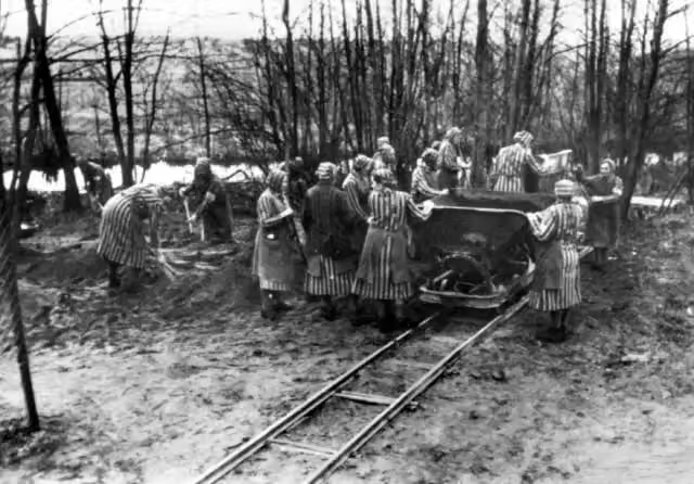 Mahn- und Gedenkstätte RavensbrückAttraction · 344 m from the route
- 2
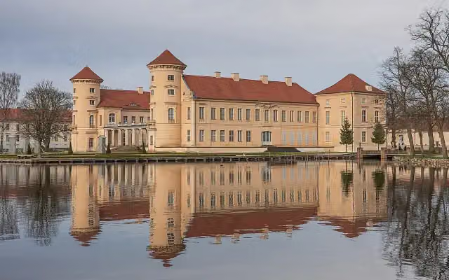 Schloss RheinsbergCastle · 126 m from the route
- 3
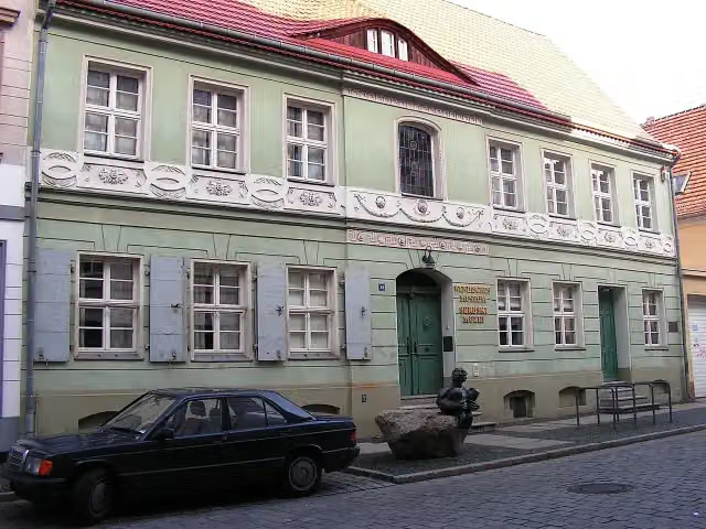 Wendish MuseumMuseum · 534 m from the route
- 4
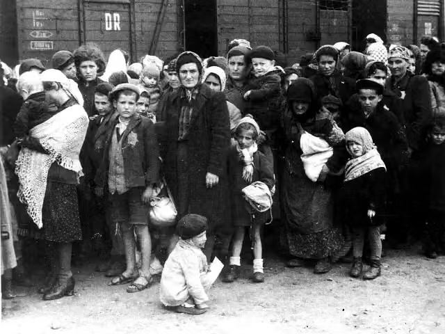 Jugendkonzentrationslager UckermarkArchaeological site · 300 m from the route
- 5
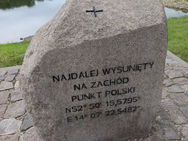 The westernmost point of PolandMemorial · 341 m from the route
- 6
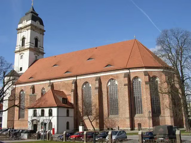 Saint Mary's CathedralAttraction · 164 m from the route
- 7
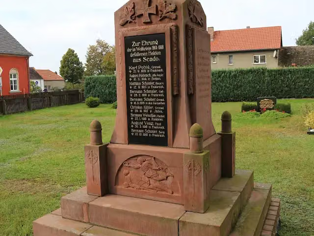 Gefallenendenkmal ScadoMemorial · 135 m from the route
- 8
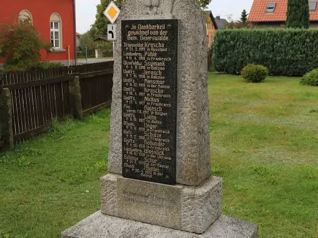 Gefallenendenkmal GeierswaldeMemorial · 144 m from the route
- 9
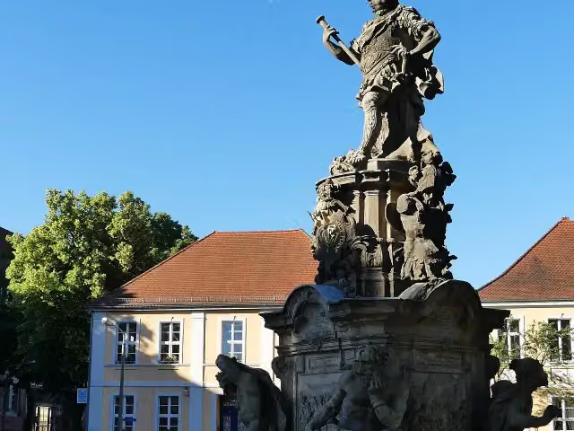 Kurfürstendenkmal "Friedrich Wilhelm"Memorial · 154 m from the route
- 10
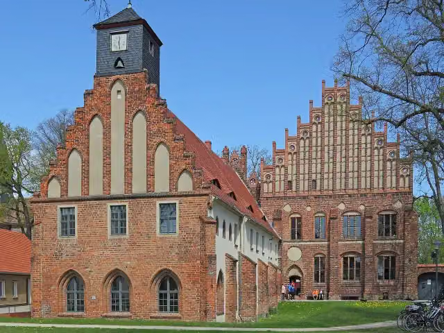 Zinna AbbeyAttraction · 186 m from the route
- 11
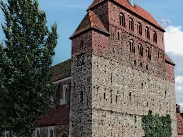 Havelberg CathedralAttraction · 413 m from the route
- 12
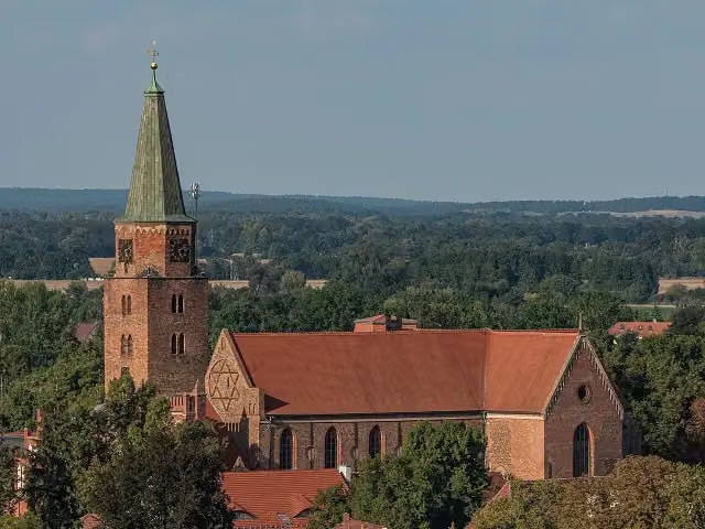 St. Peter and Paul CathedralAttraction · 429 m from the route
- 13
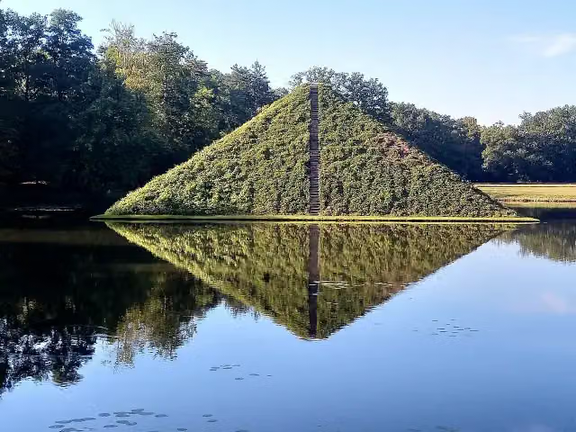 WasserpyramideAttraction · 752 m from the route
- 14
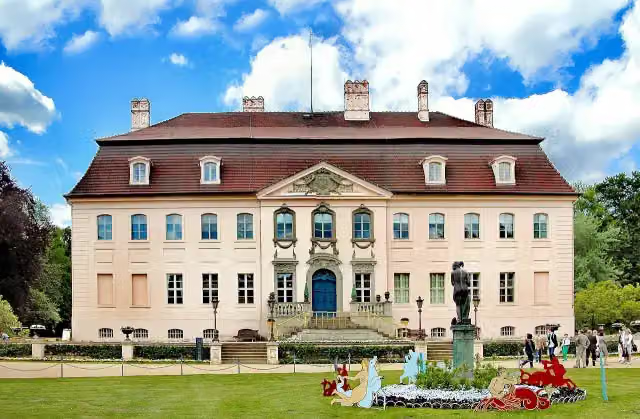 Schloss BranitzMuseum · 1.3 km from the route
- 15
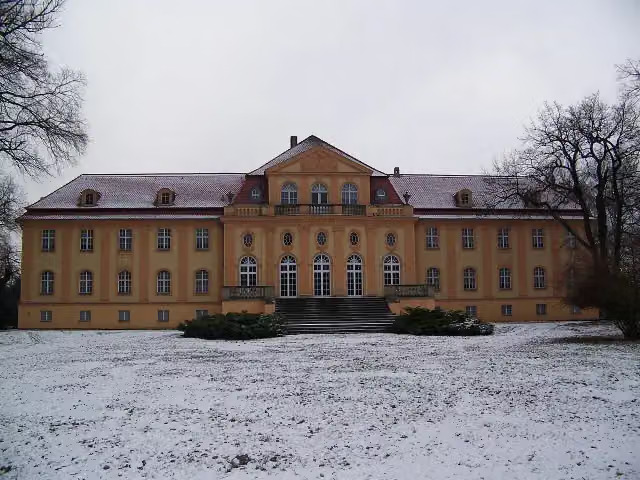 Schloss LipsaCastle · 3.4 km from the route
- 16
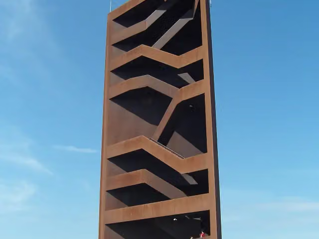 Landmarke Lausitzer Seenland "Rostiger Nagel"Observation tower · 3.4 km from the route
- 17
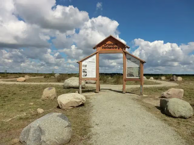 WolkenbergMemorial · 5.9 km from the route
- 18
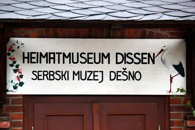 Heimatmuseum DissenMuseum · 6 km from the route
- 19
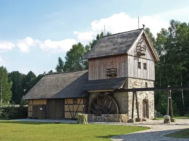 Erlebnishof Krabatmühle/Krabatowy młynMuseum · 7.4 km from the route
- 20
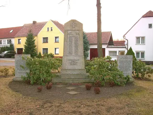 GefallenendenkmalMemorial · 7.9 km from the route
- 21
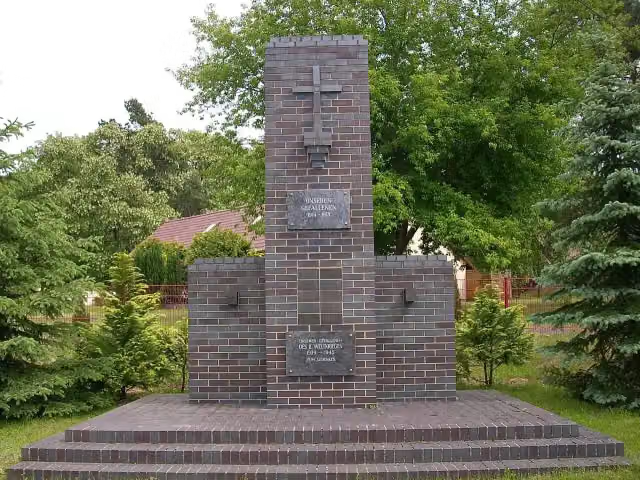 GefallenendenkmalMemorial · 8.2 km from the route
- 22
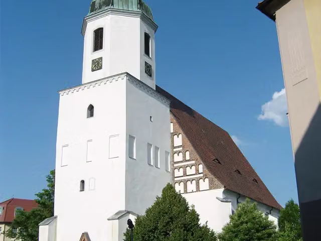 JohanneskircheAttraction · 8.9 km from the route
- 23
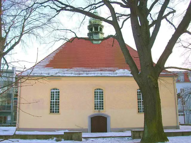 Kreuzkirche (Kirche des Apostelamtes Jesu Christi)Attraction · 9 km from the route
- 24
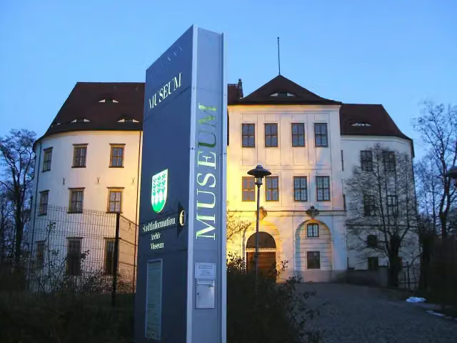 Stadtmuseum HoyerswerdaMuseum · 9.1 km from the route
- 25
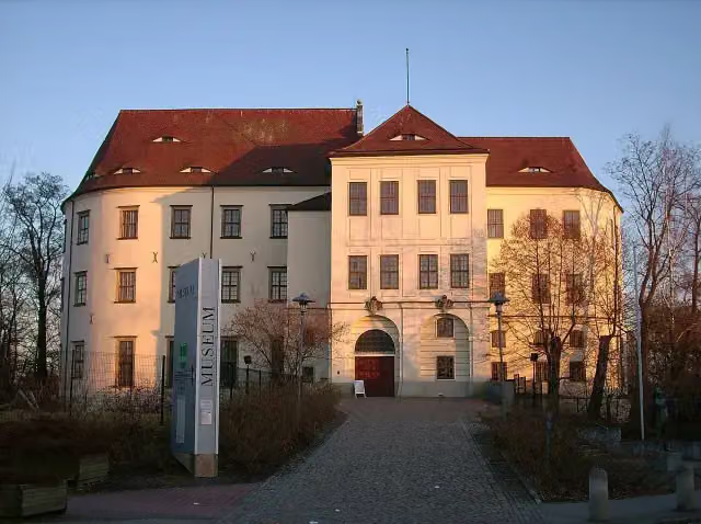 Schloss HoyerswerdaCastle · 9.1 km from the route
Explore more
More cycle routes around Brandenburg an der Havel
Frequently asked questions
How long is Tour Brandenburg?
Tour Brandenburg is 1,168.4 km long, in 18 stages of 64.9 km on average. Allow ± 4:20 h per stage of riding: 15 km an hour, without breaks.
How many stages does this route have?
The route is split into 18 stages of 64.9 km on average, 1,168.4 km in all. The shortest stage is 35.8 km, the longest 110.9 km.
Is this route a circular ride?
Yes, the route starts and ends at the same spot.
Where does this route start?
The route starts in Brandenburg an der Havel.
How hard is this route?
Hard per stage, with 143 m per stage of climbing.
Are there toilets along this route?
Yes, there are 77 public toilets within 100 m of the route. The longest stretch without a toilet is 105.8 km.
Can you fill up with water along this route?
Yes, there are 23 water fountains and refill points within 100 m of the route.
What is there to see along this route?
Along the way you pass Straßenbahnmuseum, Brösedenkmal and Schloss Plaue.
Which stage of this route has the most points of interest?
Stage 17 (51.1 km), with 8 points of interest along the route, such as Gedenkstein für drei sowjetische Zwangsarbeiter, Gefallenendenkmal (1914-18) and Gefallenendenkmal (1870/71).
Can I download this route as a GPX file?
Yes. Sign in with your Outdoor Pitstop account and choose Download GPX at the top of this page: 10 routes a month for free, unlimited with Pro.
Starting point
More routes from this place
Route data © OpenStreetMap contributors





