 Outdoor Pitstop
Cycle route · Meissen · Updated on 14 November 2026
August der Starke cycle route
August der Starke is a cycle route of 183.9 km from Meissen. Along the way you'll find 311 benches, 2 water fountains and refill points, 17 public toilets, 2 bike pumps and 1 honesty box.
i
i
i
The route step by step
From start to finish, with what you pass along the way and the distance in between.
- 183.9 km
- ± 12:15 h
- ↑ 743 m · ↓ 736 m
- Hard
- From A to B
- Regional route
Start in Meissen
0 kmAt the start: public toilet.
331 m
2 public toilets
331 m7.7 km · 17 benches
Public toilet
8 km802 m · 4 benches
Water point
8.8 km1.7 km · 4 benches
Public toilet and bike pump
10.5 km4.2 km · 12 benches

Schloss Wackerbarth
14.7 kmCastle
466 m · 11 benches
Public toilet
15.2 km3.6 km · 11 benches
Todhübel
18.8 kmArchaeological site
3.5 km · 21 benches
Public toilet
22.3 km4.1 km · 15 benches
Public toilet and bike pump
26.4 km3.6 km · 16 benches
Wolfspavillon
30 kmObservation tower
2.7 km · 7 benches
Public toilet
32.7 km23.9 km · 61 benches
2 public toilets
56.5 km14.9 km · 11 benches
Altes Schloss Zabeltitz and 1 more
71.4 kmPalais Zabeltitz
10.8 km · 18 benches
Schloss Tiefenau
82.2 kmCastle
17.4 km · 12 benches
Public toilet
99.6 km489 m · 25 benches
Public toilet
100.1 km5.3 km · 2 benches
Schloss Jahnishausen
105.4 kmCastle
11.2 km · 3 benches
Schloss Hirschstein
116.6 kmCastle
1.5 km · 5 benches
Water point
118.1 km5 km · 7 benches
Burgberg Zehren
123.1 kmArchaeological site
5.7 km · 3 benches
Honesty box
128.8 km4 km · 4 benches
Kursächsische Postmeilensäule and 1 more
132.8 kmDenkmal für die Gefallenen des Ersten Weltkrieges and public toilet
6.3 km · 12 benches
Public toilet
139.1 km22.9 km · 4 benches
Public toilet
162 km2.3 km · 3 benches
Public toilet
164.3 km9.9 km
Altes Kalkbergwerk Miltitz
174.2 kmAttraction
9.8 km · 21 benches
Finish
183.9 km
Longest stretch without a toilet: 43 kmBetween 56.5 km and 99.6 km there is no public toilet within 100 m of the route.
The route with the pitstops and sights within 100 m of it.
12 sights along the way
In the order you pass them. With the Outdoor Pitstop app you hear their story on the spot. 4 more along the route are on the map.
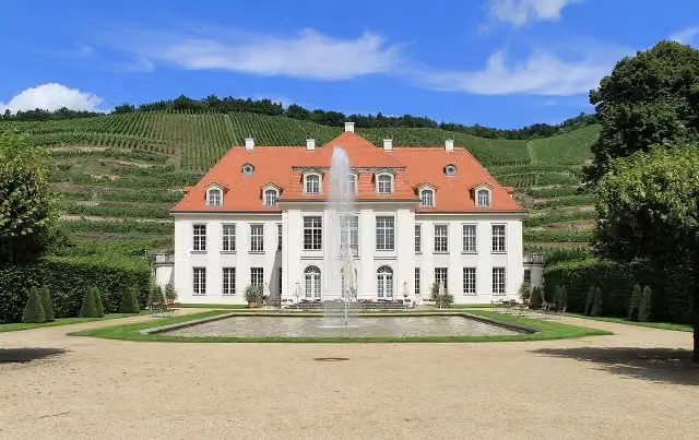
Castle · after 14.7 km
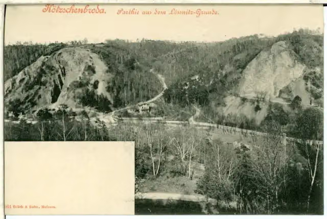
Archaeological site · after 18.8 km

Observation tower · after 30 km
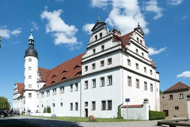
i
Photo: Radler59 · Wikimedia Commons · CC BY-SA 3.0View the photo on Wikimedia CommonsCastle · after 71.4 km
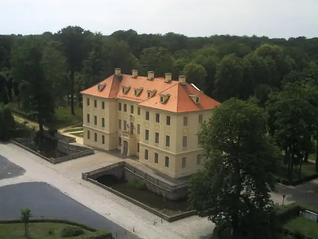
i
Photo: Engel99, Holm Engelmann · Wikimedia Commons · CC BY-SA 3.0View the photo on Wikimedia CommonsAttraction · after 71.5 km
i
Photo: S. John, Elsterwerda · Wikimedia Commons · CC BY-SA 3.0 deView the photo on Wikimedia CommonsCastle · after 82.2 km
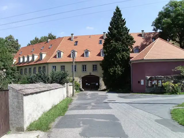
i
Photo: Jwaller · Wikimedia Commons · CC BY-SA 3.0View the photo on Wikimedia CommonsCastle · after 105.4 km
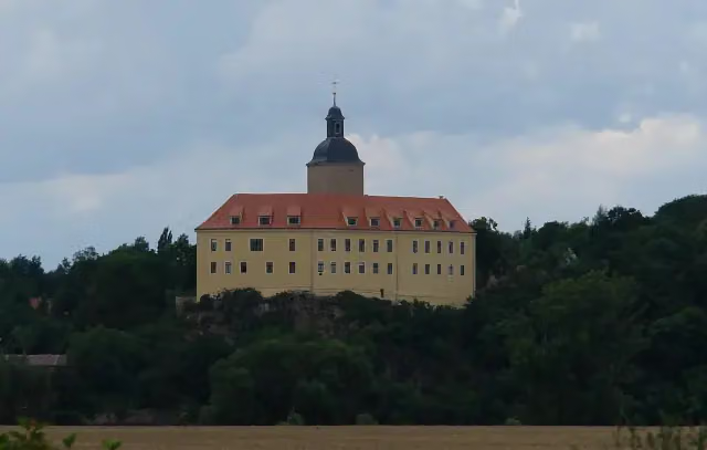
i
Photo: User:Kolossos · Wikimedia Commons · CC BY-SA 3.0View the photo on Wikimedia CommonsCastle · after 116.6 km
Elevation and terrain
- Up
- ↑ 743 m
- Down
- ↓ 736 m
- Highest point
- 265 m
- Lowest point
- 95 m
Nowhere steeper than 5%.
Elevation from Copernicus GLO-30 (European Union and ESA), smoothed.
produced using Copernicus WorldDEM-30 © DLR e.V. 2010-2014 and © Airbus Defence and Space GmbH 2014-2018 provided under COPERNICUS by the European Union and ESA; all rights reserved
Way types
183.9 km in total- Road: 64.3 km
- Track: 33.4 km
- Street: 30.7 km
- Busy road: 22.9 km
- Path: 22.1 km
- Cycle path: 7.4 km
- Footpath (walk your bike): 2.6 km
- Unknown: 75 m
Surfaces
183.9 km in total- Asphalt: 130.5 km
- Gravel: 21.2 km
- Paved: 12.7 km
- Unpaved: 4.3 km
- Unknown: 14.8 km
About the cycle route August der Starke
Updated on 14 November 2026, with data from OpenStreetMap, the AHN and Copernicus.
Where do you cycle?
August der Starke is a cycle route of 183.9 km that starts in Meissen. It does not end where it starts. You start in Meißen and finish in Meißen. Along the way you pass Schloss Wackerbarth (after 14.7 km), Todhübel (after 18.8 km) and Wolfspavillon (after 30 km).
How hard is the route?
You climb 743 m in total and descend 736 m. Allow ± 12:15 h, without breaks. The level is hard.
What roads do you cycle on?
The longest part is road (64.3 km), track (33.4 km) and street (30.7 km). Of the surface, 130.5 km asphalt and 21.2 km gravel. For 14.8 km the surface is not known.
Pitstops along the way
Within 100 metres of the route there are 311 benches, 2 water fountains and refill points, 17 public toilets, 2 bike pumps and 1 honesty box. You can fill your bottle after 8.8 km and after 118.1 km. The longest stretch without a toilet is 43 km. The Outdoor Pitstop app navigates you there.
Cycle routes nearby
6- [D10] Elberadweg rechtselbisch [Abschnitt N]Moderate · From A to B44.6 km
- Sächsische Städteroute [Freiberg-Kamenz]Hard · From A to B109 km
- [D10] Elberadweg linkselbisch [Abschnitt N]Moderate · From A to B42.7 km
- Eurovelo 7 - Sun Route - part GermanyHard · From A to B737.9 km
- Meißner 8 NordrouteModerate · Circular ride36.4 km
- Meißner 8 SüdrouteModerate · Circular ride46.7 km
Sights nearby
Within 10 km of the route, best known first.
- 1
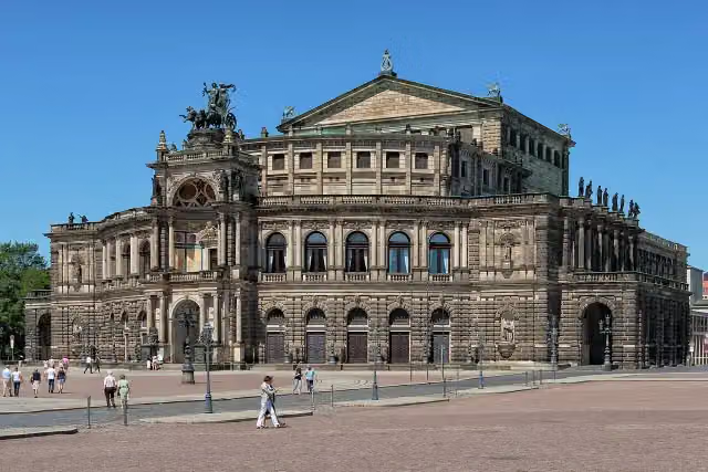 SemperoperAttraction · 8.5 km from the route
- 2
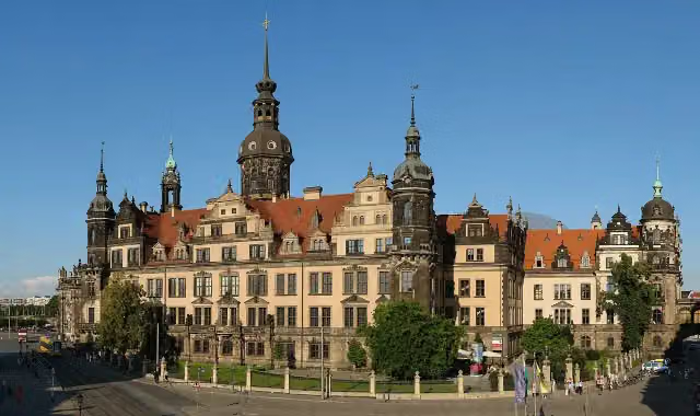 Dresden CastleAttraction · 8.7 km from the route
- 3
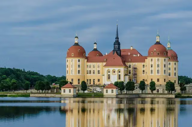 Moritzburg CastleAttraction · 389 m from the route
- 4
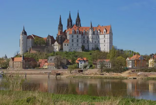 AlbrechtsburgCastle · 694 m from the route
- 5
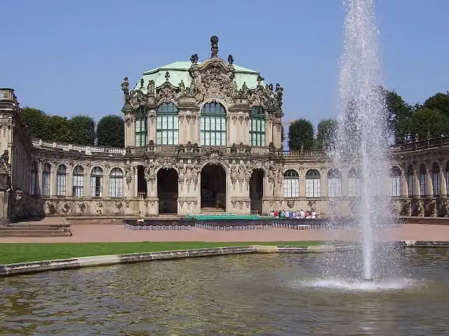 ZwingerAttraction · 8.6 km from the route
- 6
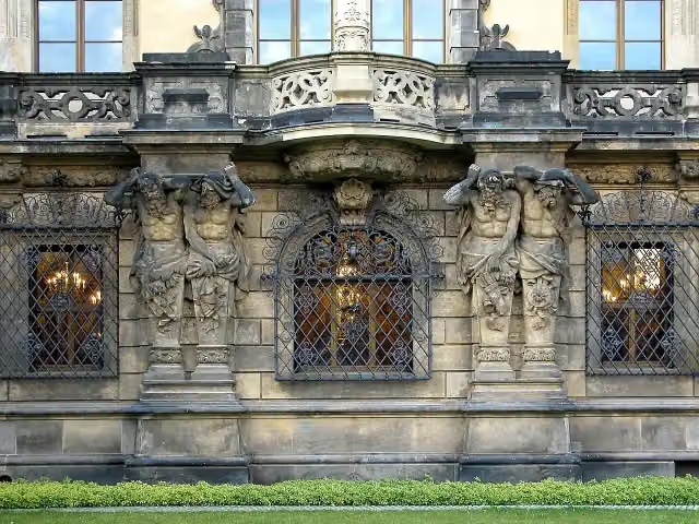 Historisches Grünes GewölbeMuseum · 8.7 km from the route
- 7
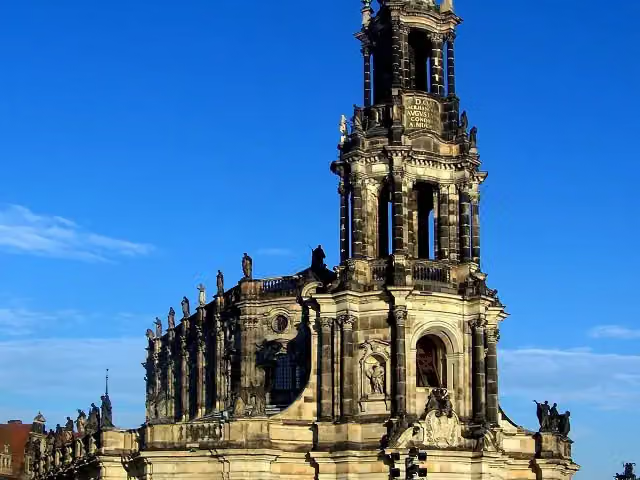 Kathedrale Ss. TrinitatisAttraction · 8.7 km from the route
- 8
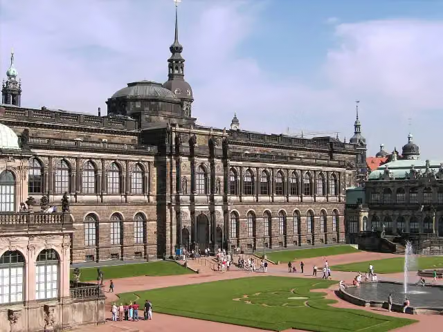 Gemäldegalerie Alte MeisterMuseum · 8.6 km from the route
- 9
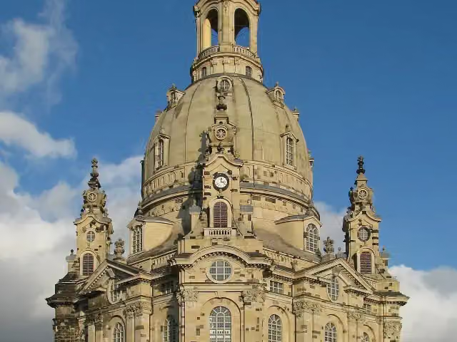 Church of Our LadyAttraction · 9 km from the route
- 10
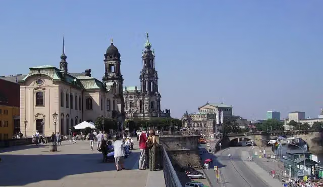 Brühl's TerraceAttraction · 8.9 km from the route
- 11
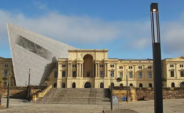 Bundeswehr Military History MuseumMuseum · 8.2 km from the route
- 12
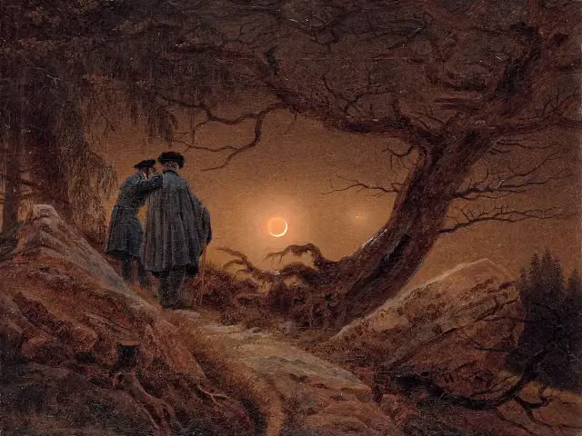 AlbertinumMuseum · 9.1 km from the route
- 13
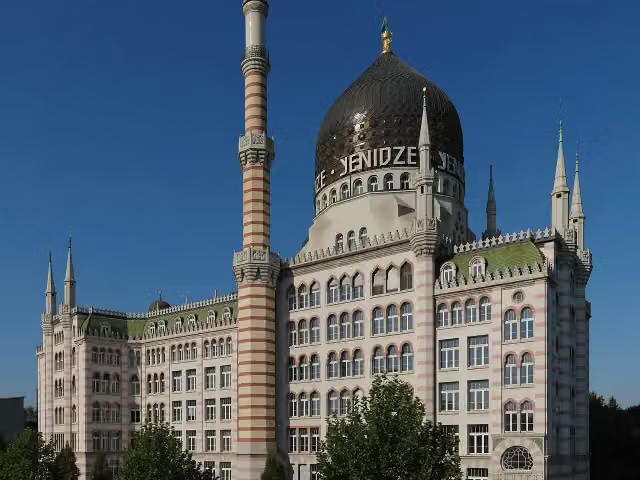 YenidzeAttraction · 7.7 km from the route
- 14
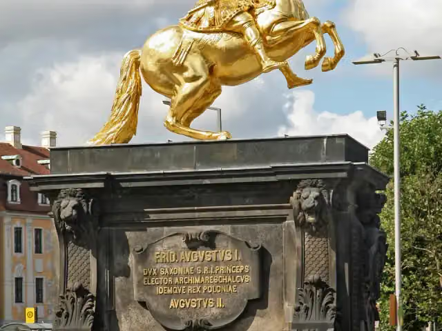 Goldener ReiterAttraction · 8.5 km from the route
- 15
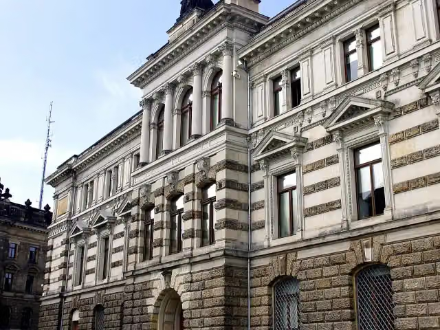 Galerie Neue MeisterMuseum · 9.1 km from the route
- 16
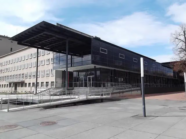 Saxon State ParliamentAttraction · 8.2 km from the route
- 17
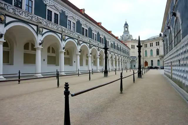 StableyardAttraction · 8.8 km from the route
- 18
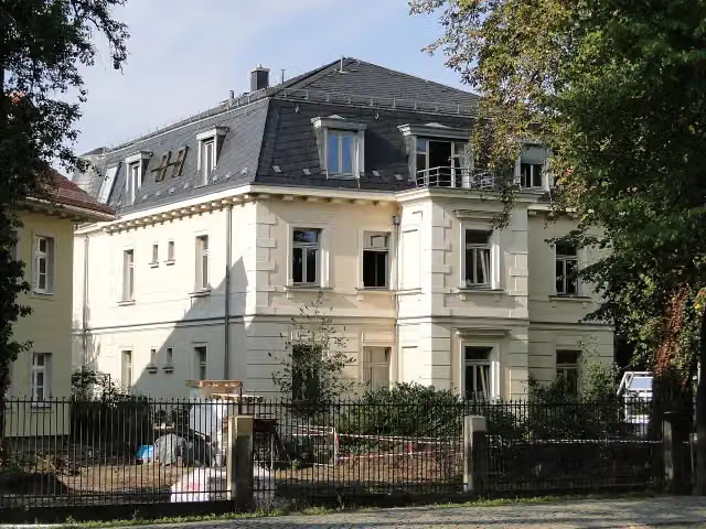 Erich-Kästner-MuseumMuseum · 8.3 km from the route
- 19
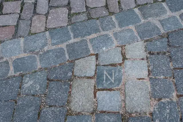 NapoleonsteinMemorial · 8.7 km from the route
- 20
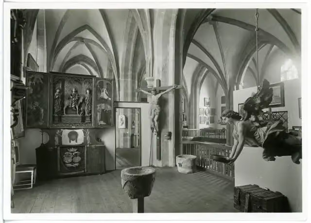 city museum meissenMuseum · 470 m from the route
- 21
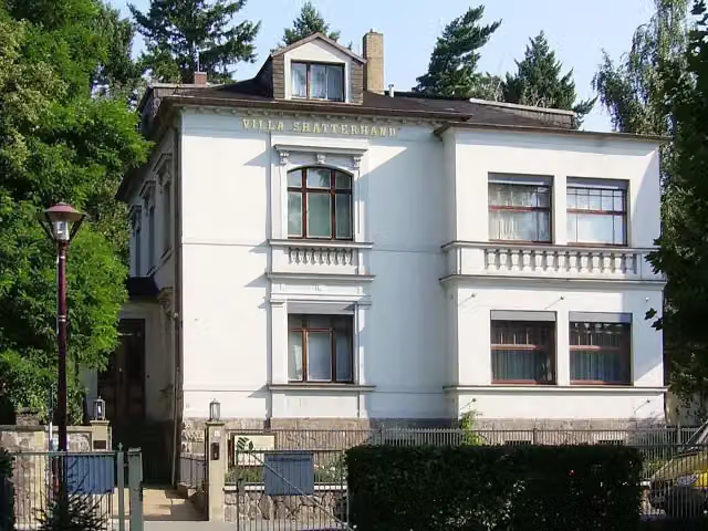 Karl-May-MuseumMuseum · 1.6 km from the route
- 22
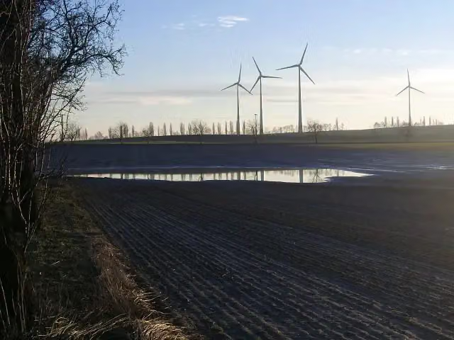 GlomuciArchaeological site · 3 km from the route
- 23
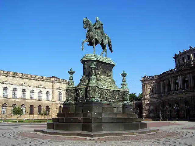 Statue of King JohnMemorial · 8.6 km from the route
- 24
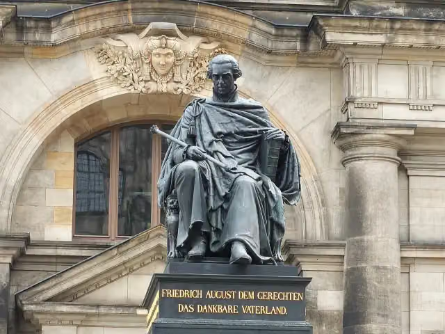 Frederick Augustus I of Saxony MonumentMemorial · 8.7 km from the route
- 25
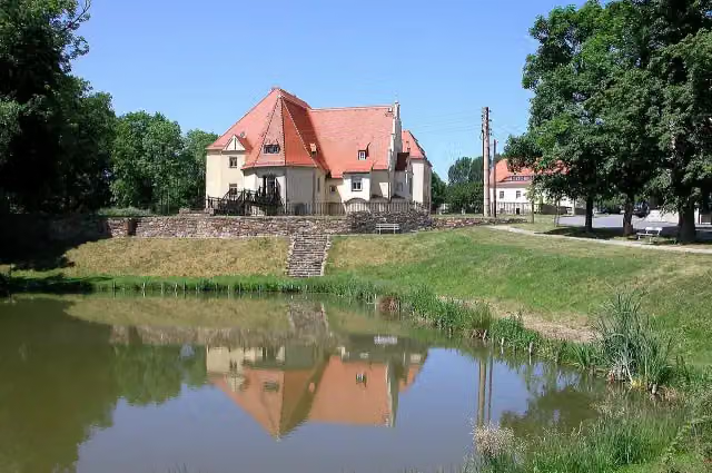 Schloß SchleinitzCastle · 115 m from the route
Explore more
More cycle routes around Meissen
Frequently asked questions
How long is August der Starke?
August der Starke is 183.9 km long. Allow ± 12:15 h of riding: 15 km an hour, without breaks.
Is this route a circular ride?
No, the route runs from Meißen to Meißen.
Where does this route start?
The route starts in Meissen.
How hard is this route?
Hard, with 743 m of climbing.
Are there toilets along this route?
Yes, there are 17 public toilets within 100 m of the route. The longest stretch without a toilet is 43 km.
Can you fill up with water along this route?
Yes, there are 2 water fountains and refill points within 100 m of the route.
What is there to see along this route?
Along the way you pass Schloss Wackerbarth, Todhübel and Wolfspavillon.
Can I download this route as a GPX file?
Yes. Sign in with your Outdoor Pitstop account and choose Download GPX at the top of this page: 10 routes a month for free, unlimited with Pro.
Starting point
More routes from this place
Route data © OpenStreetMap contributors





