 Outdoor Pitstop
Cycle route · Bischofsgrün · Updated on 14 November 2026
Euregio-Egrensis-Radfernweg Bayern-Böhmen (DE+CZ) superroute cycle route
Euregio-Egrensis-Radfernweg Bayern-Böhmen (DE+CZ) superroute is a cycle route of 312.9 km from Bischofsgrün that starts and ends at the same spot. Along the way you'll find 483 benches, 10 water fountains and refill points, 29 public toilets, 7 bike pumps and 1 honesty box.
i
i
i
The route step by step
From start to finish, with what you pass along the way and the distance in between.
- 312.9 km
- ± 20:50 h
- ↑ 1,647 m · ↓ 1,802 m
- Hard
- Circular ride
- Regional route
Start in Bischofsgrün
0 kmAt the start: Gefallenendenkmal.
188 m · 6 benches
Public toilet
188 m6.8 km · 19 benches
Public toilet and bike pump
7 km2.6 km · 2 benches

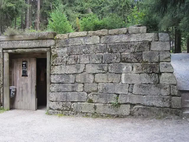
Besucherbergwerk Gleißinger Fels
9.6 kmAttraction
41.6 km · 71 benches
Public toilet and 3 water fountains and refill points
51.1 km270 m · 3 benches
2 public toilets
51.4 km2.5 km · 10 benches
Public toilet
53.9 km333 m · 2 benches
Public toilet
54.2 km589 m
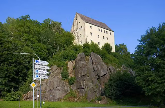
Waldnaabtal-Museum
54.8 kmMuseum
12.2 km · 20 benches
Public toilet
67.1 km39.2 km · 88 benches
Water point
106.2 km11.4 km · 8 benches
Public toilet
117.7 km272 m
Dagestein
117.9 kmCastle
273 m · 2 benches
1. deutsches Türmermuseum
118.2 kmMuseum
21.5 km · 22 benches
Ehemalige Synagoge in Sulzbach-Rosenberg
139.7 km2 public toilets and water point
190 m
Schloss Sulzbach
139.9 kmBike pump
254 m
Public toilet
140.2 km1.1 km · 6 benches
Bike pump
141.3 km1.9 km · 4 benches
Water point and bike pump
143.2 km9.8 km · 13 benches
Bike pump
153 km572 m · 8 benches
Public toilet and bike pump
153.6 km368 m · 16 benches
Public toilet
154 km179 m · 9 benches
Luftmuseum Amberg
154.1 kmWater point
192 m · 11 benches
Stadtbrille and 1 more
154.3 kmKurfürstliches Schloss, public toilet and bike pump
1.3 km · 10 benches
Vesuna-Turm
155.6 kmObservation tower
21 km · 28 benches
Public toilet and water point
176.7 km293 m · bench
Public toilet
176.9 km793 m · 2 benches
Heimatmuseum Kastl
177.7 kmMuseum
10.4 km · 11 benches
Public toilet
188.2 km12.3 km · 7 benches
Zieglerschloß
200.5 km3 public toilets
Show the other 10 steps
454 m · bench
Public toilet
201 km12 km · 24 benches
Schloss Traidendorf
213 kmCastle
2.1 km · 8 benches
2 public toilets and honesty box
215.1 km8.6 km · 13 benches
Public toilet
223.6 km32.8 km · 18 benches
Public toilet
256.5 km10.4 km · 2 benches
Water point
266.9 km13.9 km · bench
Public toilet
280.8 km11.9 km · 4 benches
Public toilet and water point
292.7 km6.3 km · 20 benches
Public toilet
298.9 km14 km · 13 benches
Back at the start
312.9 km
Longest stretch without a toilet: 50.6 kmBetween 67.1 km and 117.7 km there is no public toilet within 100 m of the route.
The route with the water points, toilets and sights within 100 m of it.
14 sights along the way
In the order you pass them. With the Outdoor Pitstop app you hear their story on the spot. 6 more along the route are on the map.
i
Photo: Lucorient · Wikimedia Commons · CC BY-SA 4.0View the photo on Wikimedia CommonsMemorial · after 18 m
i
Photo: PeterBraun74 · Wikimedia Commons · CC BY-SA 3.0View the photo on Wikimedia CommonsAttraction · after 9.6 km
i
Photo: Grenzlandstern · Wikimedia Commons · CC BY-SA 4.0View the photo on Wikimedia CommonsMuseum · after 54.8 km
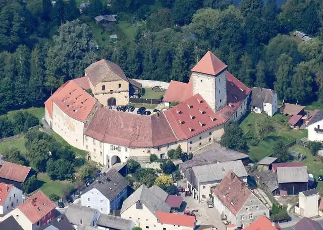
i
Photo: Carsten Steger · Wikimedia Commons · CC BY-SA 4.0View the photo on Wikimedia CommonsCastle · after 117.9 km

Museum · after 118.2 km
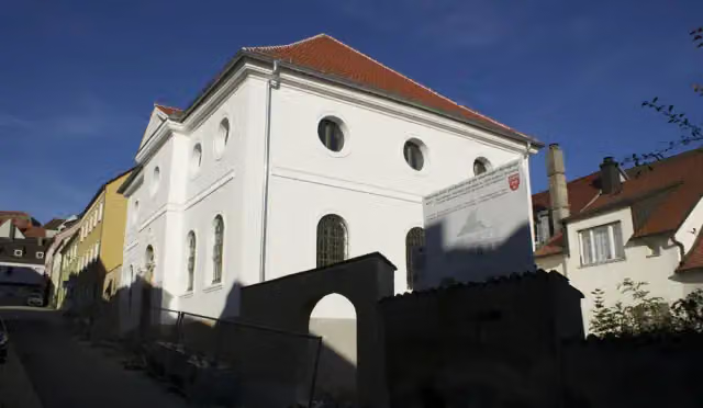
i
Photo: Matthias Süß · Wikimedia Commons · CC BY-SA 3.0View the photo on Wikimedia CommonsMuseum · after 139.7 km
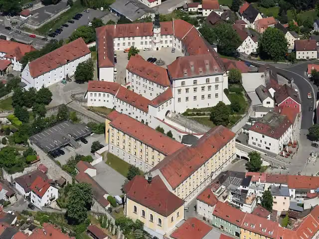
i
Photo: Carsten Steger · Wikimedia Commons · CC BY-SA 4.0View the photo on Wikimedia CommonsCastle · after 139.9 km
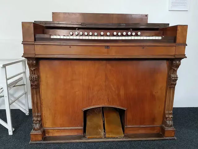
i
Photo: Orgelputzer · Wikimedia Commons · CC BY-SA 4.0View the photo on Wikimedia CommonsMuseum · after 154.2 km
Stages (1)
Elevation and terrain
- Up
- ↑ 1,647 m
- Down
- ↓ 1,802 m
- Highest point
- 774 m
- Lowest point
- 340 m
- 5-10% slope · 1.6 km
Elevation from Copernicus GLO-30 (European Union and ESA), smoothed.
produced using Copernicus WorldDEM-30 © DLR e.V. 2010-2014 and © Airbus Defence and Space GmbH 2014-2018 provided under COPERNICUS by the European Union and ESA; all rights reserved
Way types
312.9 km in total- Path: 76.6 km
- Road: 73.7 km
- Track: 71.4 km
- Street: 45.2 km
- Cycle path: 27.8 km
- Footpath (walk your bike): 7.3 km
- Busy road: 6.7 km
Surfaces
312.9 km in total- Asphalt: 195.2 km
- Gravel: 64.1 km
- Unpaved: 20.1 km
- Paved: 11.5 km
- Unknown: 17.8 km
About the cycle route Euregio-Egrensis-Radfernweg Bayern-Böhmen (DE+CZ) superroute
Updated on 14 November 2026, with data from OpenStreetMap, the AHN and Copernicus.
Where do you cycle?
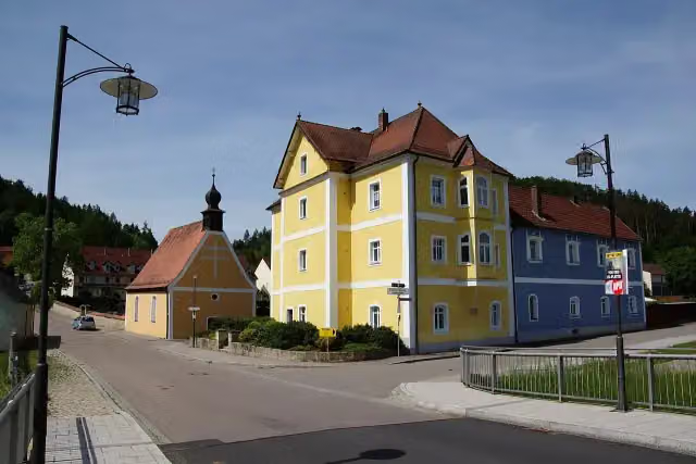
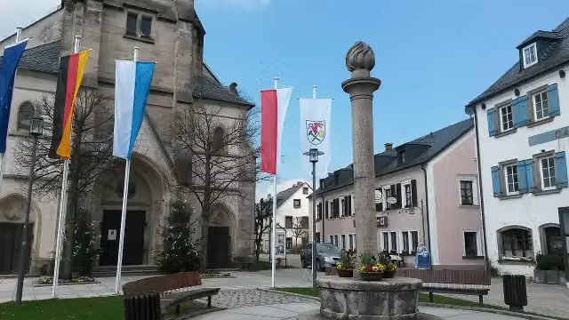
Euregio-Egrensis-Radfernweg Bayern-Böhmen (DE+CZ) superroute is a circular ride of 312.9 km from Bischofsgrün: it starts and ends in the same place. Along the way you pass Gefallenendenkmal (after 18 m), Besucherbergwerk Gleißinger Fels (after 9.6 km) and Waldnaabtal-Museum (after 54.8 km).
How hard is the route?
You climb 1,647 m in total and descend 1,802 m. Allow ± 20:50 h, without breaks. The level is hard.
What roads do you cycle on?
The longest part is path (76.6 km), road (73.7 km) and track (71.4 km). Of the surface, 195.2 km asphalt and 64.1 km gravel. For 17.8 km the surface is not known.
Pitstops along the way
Within 100 metres of the route there are 483 benches, 10 water fountains and refill points, 29 public toilets, 7 bike pumps and 1 honesty box. The longest stretch without a toilet is 50.6 km. The Outdoor Pitstop app navigates you there.
Cycle routes nearby
6- Saar-Mosel-Main [Kulmbach - Schirnding]Hard · From A to B113.4 km
- Euregio-Egrensis-Radfernweg [DE-BY (Bayern)]Hard · From A to B209.5 km
- Radrunde OberfrankenHard · From A to B295.1 km
- Bischofsgrün - Zell (Saaleradweg)Easy · From A to B17.7 km
- Main-Radweg, Abschnitt 1 "Bischofsgrün bis Kulmbach" (Weißer Main)Moderate · From A to B43.6 km
- Durch Bayerns steinreiche EckeModerate · From A to B33.5 km
Sights nearby
Within 10 km of the route, best known first.
- 1
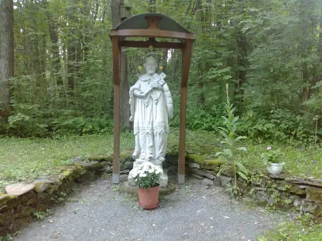 svatý Jan NepomuckýMemorial · 2.4 km from the route
- 2
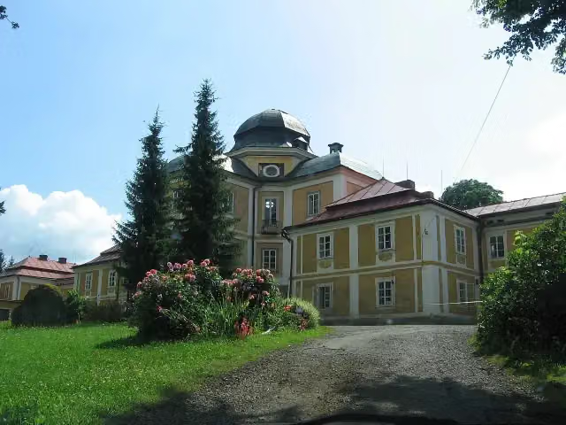 zámek DianaCastle · 5.2 km from the route
- 3
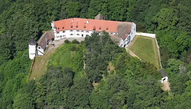 Schloss NeidsteinCastle · 9.9 km from the route
- 4
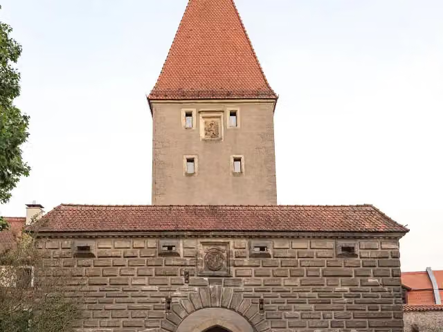 VilstorAttraction · 107 m from the route
- 5
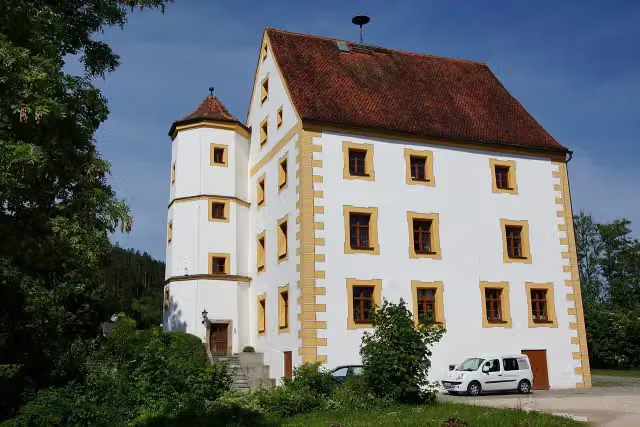 Oberes Schloß-RathausCastle · 133 m from the route
- 6
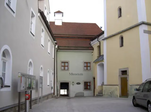 StadtmuseumMuseum · 133 m from the route
- 7
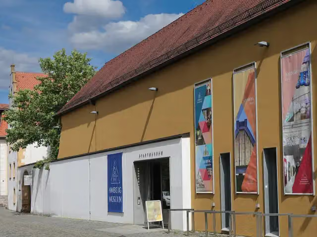 Stadtmuseum AmbergMuseum · 136 m from the route
- 8
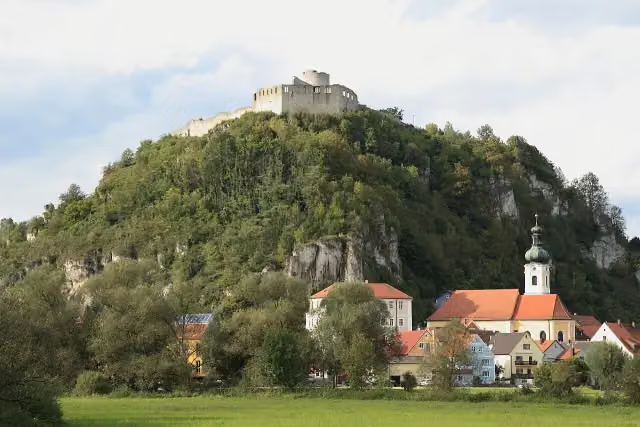 Burgruine KallmünzAttraction · 139 m from the route
- 9
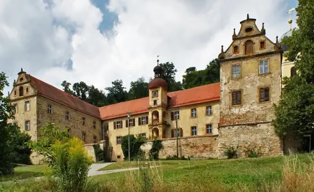 Muenchshofener BergViewpoint · 141 m from the route
- 10
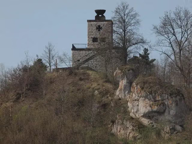 Kriegerdenkmal für die Gefallenen des Ersten WeltkriegsMemorial · 157 m from the route
- 11
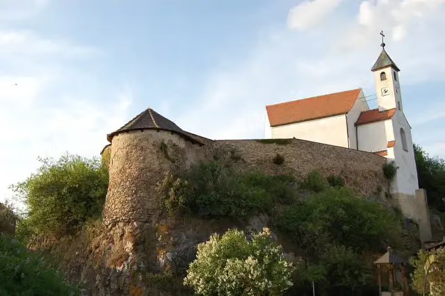 Burgruine ZangensteinRuins · 195 m from the route
- 12
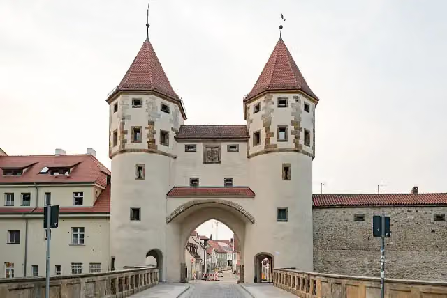 Nabburger TorAttraction · 231 m from the route
- 13
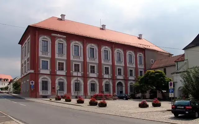 Neues SchloßCastle · 294 m from the route
- 14
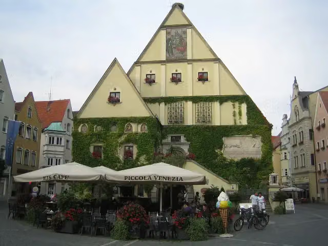 Altes RathausAttraction · 309 m from the route
- 15
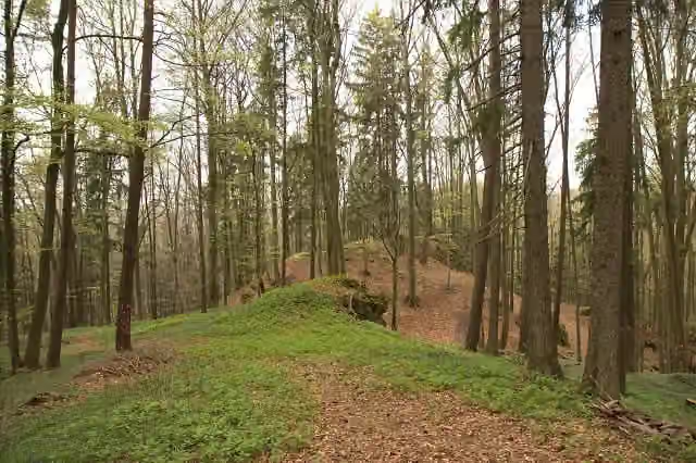 Burgstall ScharfenbergArchaeological site · 309 m from the route
- 16
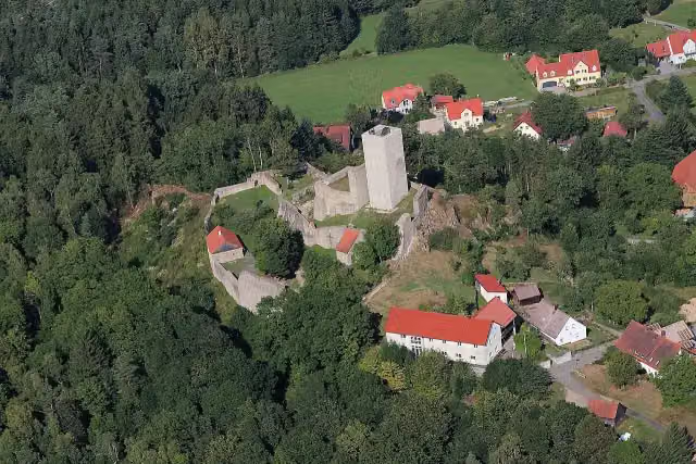 Burg MurachCastle · 352 m from the route
- 17
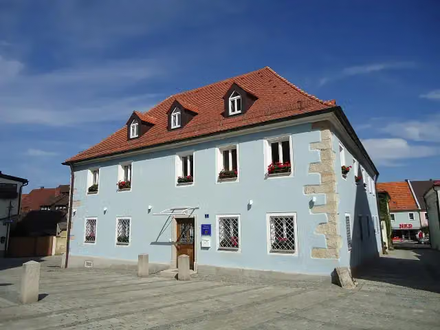 Heimat- und BergbaumuseumMuseum · 375 m from the route
- 18
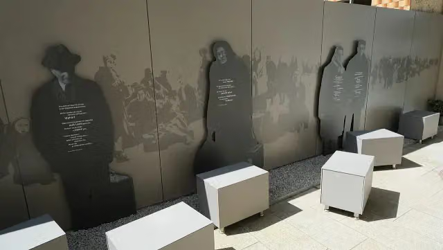 Museum Flucht – Vertreibung – AnkommenMuseum · 449 m from the route
- 19
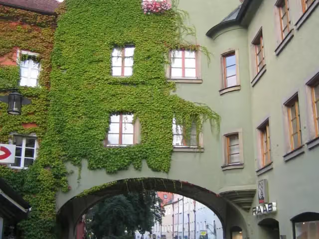 Oberes TorAttraction · 456 m from the route
- 20
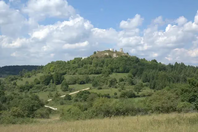 Burgruine HohenburgCastle · 574 m from the route
- 21
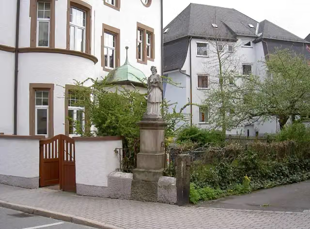 NepomukMemorial · 716 m from the route
- 22
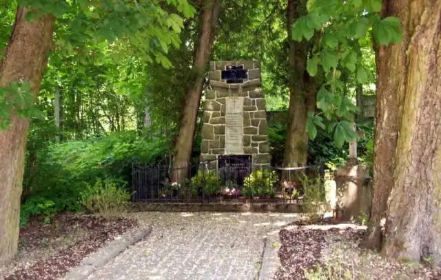 MemorialMemorial · 781 m from the route
- 23
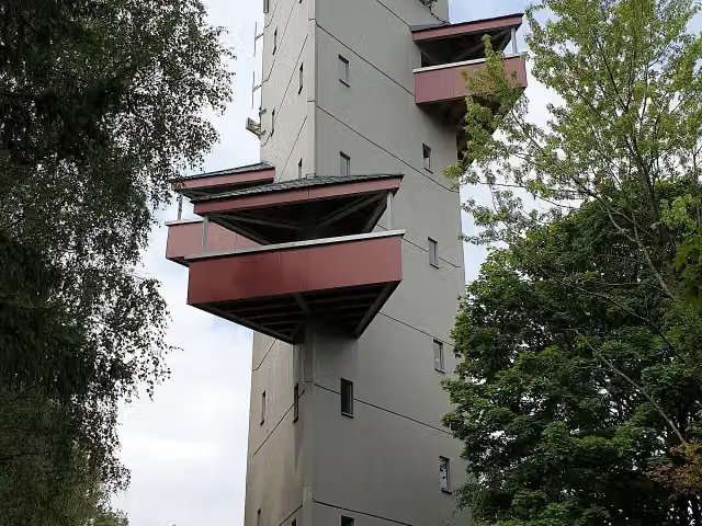 Aussichtsturm RödlasObservation tower · 794 m from the route
- 24
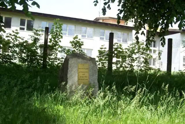 MemorialMemorial · 812 m from the route
- 25
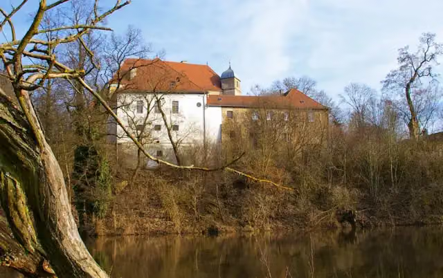 Schloss FronbergCastle · 1.1 km from the route
Explore more
More cycle routes around Bischofsgrün
Frequently asked questions
How long is Euregio-Egrensis-Radfernweg Bayern-Böhmen (DE+CZ) superroute?
Euregio-Egrensis-Radfernweg Bayern-Böhmen (DE+CZ) superroute is 312.9 km long. Allow ± 20:50 h of riding: 15 km an hour, without breaks.
Is this route a circular ride?
Yes, the route starts and ends at the same spot.
Where does this route start?
The route starts in Bischofsgrün.
How hard is this route?
Hard, with 1,647 m of climbing.
Are there toilets along this route?
Yes, there are 29 public toilets within 100 m of the route. The longest stretch without a toilet is 50.6 km.
Can you fill up with water along this route?
Yes, there are 10 water fountains and refill points within 100 m of the route.
What is there to see along this route?
Along the way you pass Gefallenendenkmal, Besucherbergwerk Gleißinger Fels and Waldnaabtal-Museum.
Can I download this route as a GPX file?
Yes. Sign in with your Outdoor Pitstop account and choose Download GPX at the top of this page: 10 routes a month for free, unlimited with Pro.
Starting point
More routes from this place
Route data © OpenStreetMap contributors





