 Outdoor Pitstop
Cycle route · Unterstadion · Updated on 14 November 2026
Ulrikaweg (Rad) cycle route
Ulrikaweg (Rad) is a cycle route of 129.7 km from Unterstadion. Along the way you'll find 320 benches, 9 water fountains and refill points, 18 public toilets, 8 bike pumps and 1 honesty box.
i
i
i
The route step by step
From start to finish, with what you pass along the way and the distance in between.
- 129.7 km
- ± 4:20 h per stage
- ↑ 967 m · ↓ 1,058 m
- Hard per stage
- From A to B
- Regional route
Start in Unterstadion
0 km2.5 km · bench

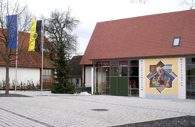
Krippenmuseum
2.5 kmMuseum
27 km · 10 benches
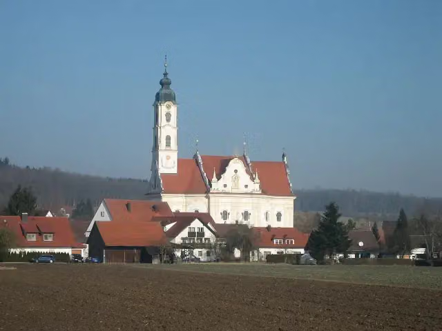
Wallfahrtskirche Unserer Lieben Frau, Pfarrkirche St. Peter und Paul
29.5 kmPublic toilet
36.9 km · 32 benches
Bike pump
66.4 km3.5 km · 3 benches
Schloss Königsegg
69.9 kmCastle
4.3 km · bench
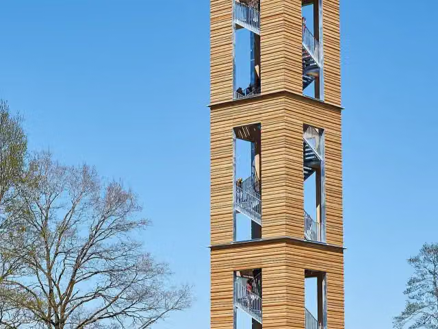
Bannwaldturm
74.2 kmObservation tower
1.7 km · bench
Aussichtsplattform Hundsche Weiher
75.9 kmObservation tower
4.5 km · 3 benches
Water point
80.4 km2.3 km · bench
Public toilet
82.7 km398 m · 4 benches
Public toilet
83.1 km12.5 km · 19 benches
Public toilet and 2 bike pumps
95.6 km4.7 km · 28 benches
Water point and bike pump
100.2 km5 km
Oberer Langbau
105.2 kmPublic toilet
413 m · 11 benches
Feuerwehrmuseum
105.6 kmPublic toilet
3.5 km · 3 benches
2 public toilets
109.1 km5.2 km · 22 benches
Bike pump
114.3 km337 m
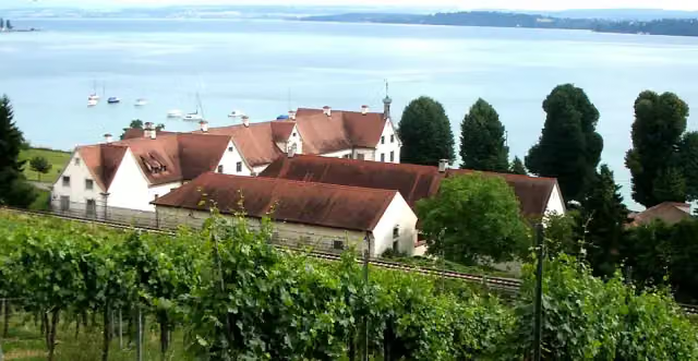
Schloss Maurach
114.6 kmWater point
653 m · 4 benches
Public toilet
115.3 km1.4 km · 4 benches
Public toilet
116.7 km1.3 km · 15 benches
2 public toilets
118 km589 m · 15 benches
Public toilet
118.5 km1.3 km · 58 benches
Public toilet and bike pump
119.9 km221 m · 9 benches
3 water fountains and refill points
120.1 km201 m · 4 benches
Public toilet
120.3 km3 km · 24 benches
Public toilet
123.2 km185 m · 3 benches
Water point
123.4 km1.8 km · 17 benches
Water point and bike pump
125.3 km460 m · 4 benches
Water point and honesty box
125.7 km4 km · 24 benches
Finish
129.7 kmAt the finish: Schloss Hegne, 2 public toilets and bike pump.
Longest stretch without a toilet: 53.2 kmBetween 29.5 km and 82.7 km there is no public toilet within 100 m of the route.
The route with the water points, toilets and sights within 100 m of it.
9 sights along the way
In the order you pass them. With the Outdoor Pitstop app you hear their story on the spot. 1 more along the route are on the map.
i
Photo: Dr. Eugen Lehle · Wikimedia Commons · CC BY-SA 3.0View the photo on Wikimedia CommonsMuseum · after 2.5 km
i
Photo: Adrian Michael · Wikimedia Commons · CC BY-SA 3.0View the photo on Wikimedia CommonsAttraction · after 29.5 km

Castle · after 69.9 km
i
Photo: DKrieger · Wikimedia Commons · CC BY-SA 3.0View the photo on Wikimedia CommonsObservation tower · after 74.2 km
Observation tower · after 75.9 km
Castle · after 105.2 km
Museum · after 105.6 km
i
Photo: Photo: Andreas Praefcke · Wikimedia Commons · CC BY 3.0View the photo on Wikimedia CommonsCastle · after 114.6 km
Stages (2)
Elevation and terrain
- Up
- ↑ 967 m
- Down
- ↓ 1,058 m
- Highest point
- 790 m
- Lowest point
- 394 m
- 5-10% slope · 9.4 km
- 10-15% slope · 275 m
Elevation from Copernicus GLO-30 (European Union and ESA), smoothed.
produced using Copernicus WorldDEM-30 © DLR e.V. 2010-2014 and © Airbus Defence and Space GmbH 2014-2018 provided under COPERNICUS by the European Union and ESA; all rights reserved
Way types
129.7 km in total- Road: 69.1 km
- Path: 17.1 km
- Street: 15.2 km
- Busy road: 12.9 km
- Track: 9.5 km
- Footpath (walk your bike): 3 km
- Unknown: 2.7 km
Surfaces
129.7 km in total- Asphalt: 115.8 km
- Gravel: 4.5 km
- Paved: 2.8 km
- Unpaved: 25 m
- Unknown: 6.2 km
About the cycle route Ulrikaweg (Rad)
Updated on 14 November 2026, with data from OpenStreetMap, the AHN and Copernicus.
Where do you cycle?
Ulrikaweg (Rad) is a cycle route of 129.7 km that starts in Unterstadion. It does not end where it starts. Along the way you pass Krippenmuseum (after 2.5 km), Wallfahrtskirche Unserer Lieben Frau, Pfarrkirche St. Peter und Paul (after 29.5 km) and Schloss Königsegg (after 69.9 km).
How hard is the route?
You climb 967 m in total and descend 1,058 m. Allow ± 4:20 h per stage, without breaks. Per stage the level is hard.
What roads do you cycle on?
The longest part is road (69.1 km), path (17.1 km) and street (15.2 km). Of the surface, 115.8 km asphalt and 4.5 km gravel. For 6.2 km the surface is not known.
Pitstops along the way
Within 100 metres of the route there are 320 benches, 9 water fountains and refill points, 18 public toilets, 8 bike pumps and 1 honesty box. The longest stretch without a toilet is 53.2 km. The Outdoor Pitstop app navigates you there.
Cycle routes nearby
6- Oberschwaben-Allgäu-RadwegHard · Circular ride360.3 km
- D-Route 6 - Donauroute [Tuttlingen - Ulm]Hard · From A to B161.1 km
- Deutsche Fachwerkstraße Abschnitt BodenseeHard · From A to B88.1 km
- Easy · From A to B12.5 km
- Donauradweg - Abschnitt Baden-WürttembergHard · From A to B201.7 km
- EuroVelo 6 - Atlantic-Black Sea - part Germany - Baden-WürttembergHard · From A to B243.7 km
Sights nearby
Within 10 km of the route, best known first.
- 1
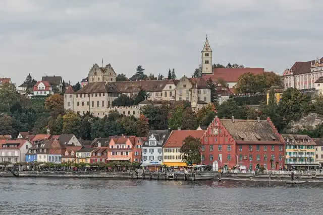 Burg MeersburgAttraction · 5.1 km from the route
- 2
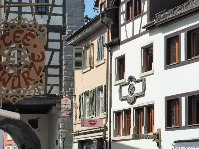 Hus-HausMuseum · 7.5 km from the route
- 3
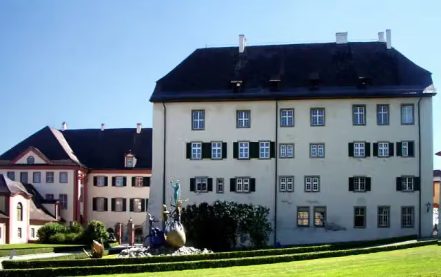 Schloss AltshausenCastle · 5.1 km from the route
- 4
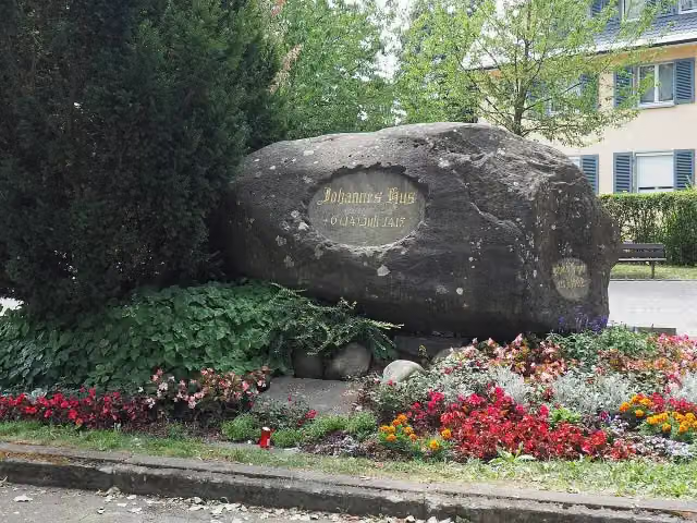 HussensteinMemorial · 7 km from the route
- 5
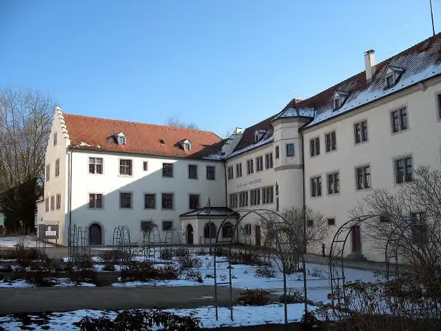 Petershausen AbbeyMuseum · 7.2 km from the route
- 6
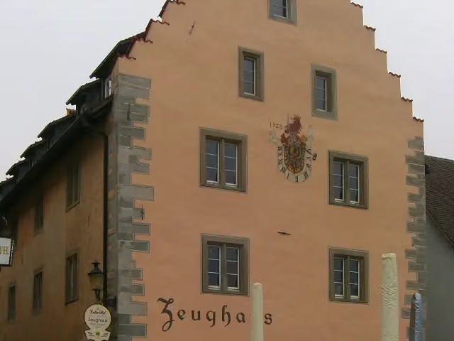 Zeughaus ÜberlingenMonument · 173 m from the route
- 7
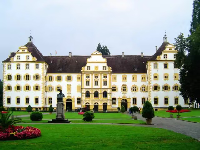 Schloss SalemCastle · 181 m from the route
- 8
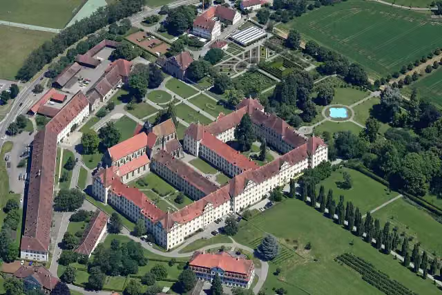 Schloß SalemMuseum · 186 m from the route
- 9
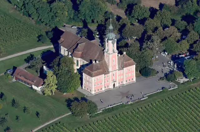 Basilika BirnauAttraction · 198 m from the route
- 10
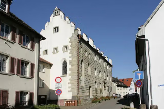 Städtisches MuseumMuseum · 205 m from the route
- 11
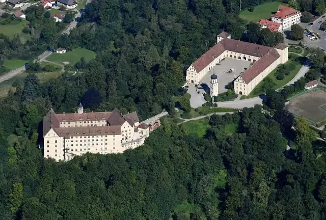 Schloß HeiligenbergAttraction · 266 m from the route
- 12
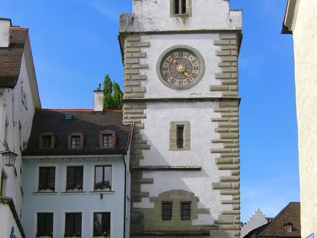 Franziskaner TorAttraction · 269 m from the route
- 13
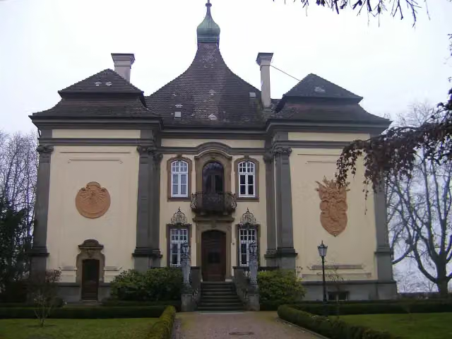 Akademie Schloss RauensteinCastle · 384 m from the route
- 14
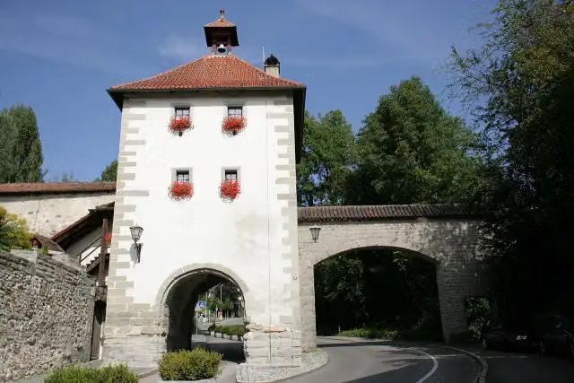 Aufkircher TorAttraction · 557 m from the route
- 15
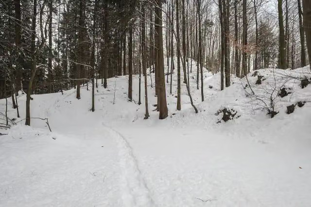 Alt-HeiligenbergMemorial · 593 m from the route
- 16
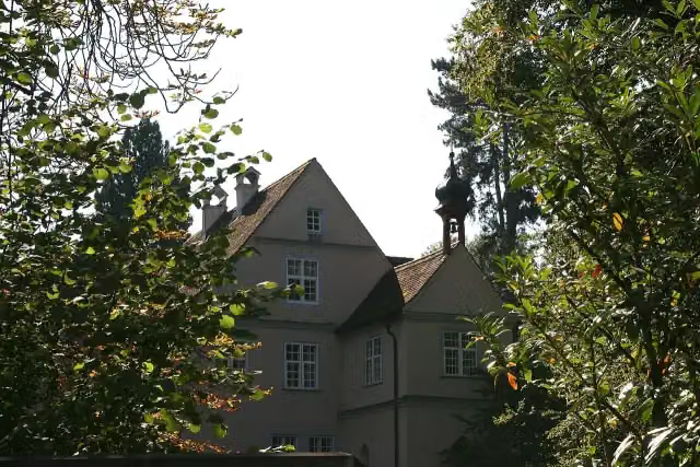 Wasserschloss BurgbergCastle · 1.1 km from the route
- 17
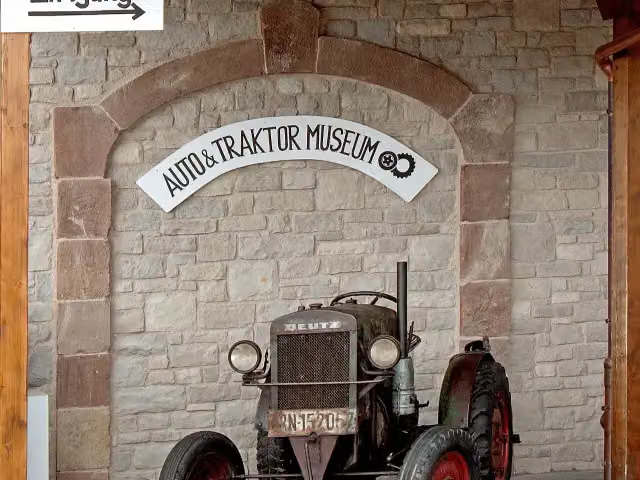 Auto- & TraktorenmuseumMuseum · 1.3 km from the route
- 18
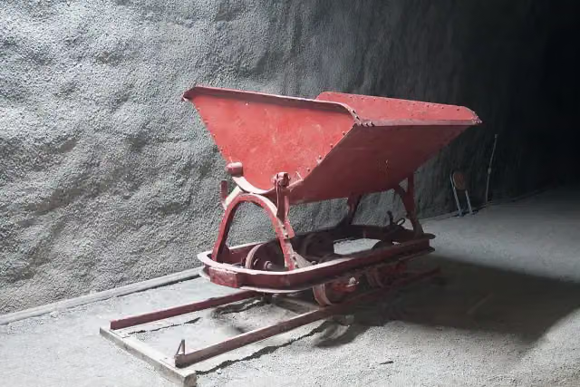 Standort ehemaliges KZ ÜberlingenMemorial · 1.3 km from the route
- 19
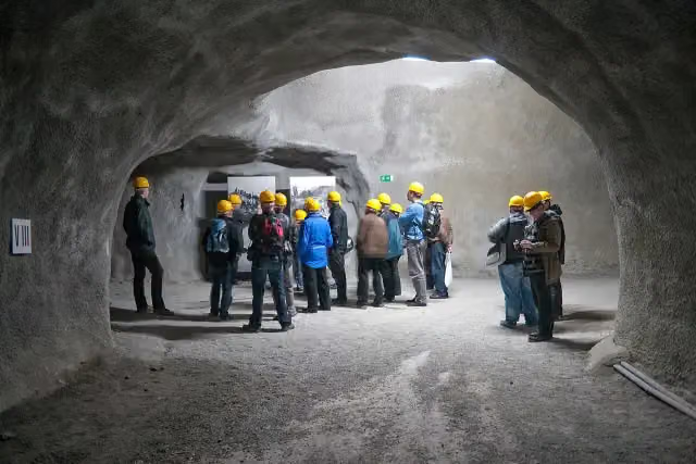 Goldbacher Stollen des ehemaligen KZ ÜberlingenMemorial · 1.4 km from the route
- 20
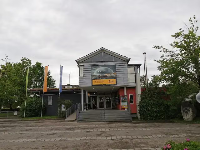 Pfahlbaumuseum UnteruhldingenMuseum · 1.4 km from the route
- 21
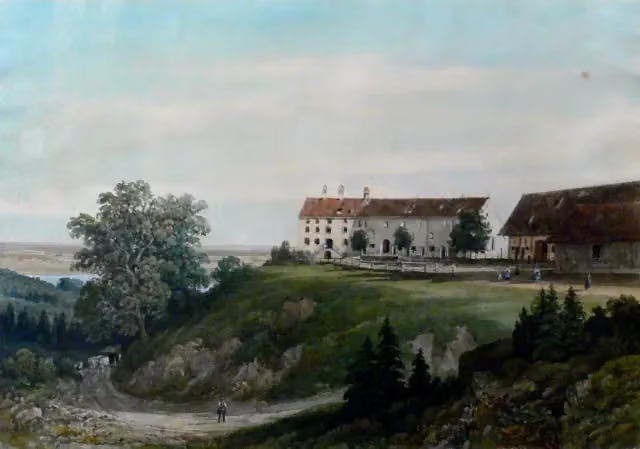 Schloß KönigseggCastle · 1.5 km from the route
- 22
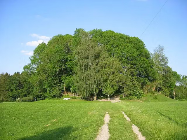 BurgweilerArchaeological site · 2.2 km from the route
- 23
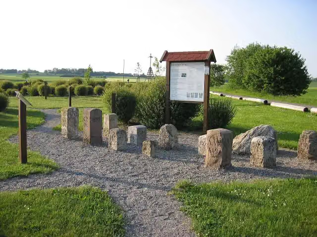 Grenzsteinmuseum Ostrach FreilichtanlageMuseum · 2.2 km from the route
- 24
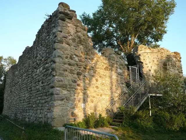 SchopflenCastle · 2.5 km from the route
- 25
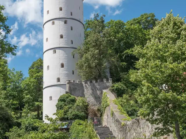 Weißer TurmMonument · 3 km from the route
Explore more
More cycle routes around Unterstadion
Frequently asked questions
How long is Ulrikaweg (Rad)?
Ulrikaweg (Rad) is 129.7 km long, in 2 stages of 64.8 km on average. Allow ± 4:20 h per stage of riding: 15 km an hour, without breaks.
How many stages does this route have?
The route is split into 2 stages of 64.8 km on average, 129.7 km in all. The shortest stage is 54.7 km, the longest 75 km.
Is this route a circular ride?
No, the route starts and ends at different spots.
Where does this route start?
The route starts in Unterstadion.
How hard is this route?
Hard per stage, with 484 m per stage of climbing.
Are there toilets along this route?
Yes, there are 18 public toilets within 100 m of the route. The longest stretch without a toilet is 53.2 km.
Can you fill up with water along this route?
Yes, there are 9 water fountains and refill points within 100 m of the route.
What is there to see along this route?
Along the way you pass Krippenmuseum, Wallfahrtskirche Unserer Lieben Frau, Pfarrkirche St. Peter und Paul and Schloss Königsegg.
Which stage of this route has the most points of interest?
Stage 2 (75 km), with 7 points of interest along the route, such as Schloss Königsegg, Bannwaldturm and Aussichtsplattform Hundsche Weiher.
Can I download this route as a GPX file?
Yes. Sign in with your Outdoor Pitstop account and choose Download GPX at the top of this page: 10 routes a month for free, unlimited with Pro.
Starting point
More routes from this place
Route data © OpenStreetMap contributors





