 Outdoor Pitstop
Cycle route · Bremen · Updated on 14 November 2026
Premiumroute D15 cycle route
Premiumroute D15 is a cycle route of 3.3 km from Bremen. Along the way you'll find 66 benches, 1 water point and 1 public toilet.
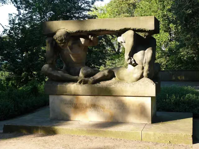
i
Photo: User:Florean Fortescue · Wikimedia Commons · CC BY 2.5View the photo on Wikimedia Commons
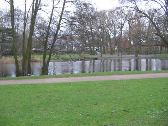
i
Photo: Rami Tarawneh · Wikimedia Commons · CC BY-SA 2.5View the photo on Wikimedia Commons
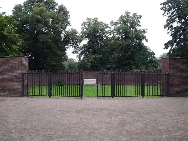
i
Photo: User:Florean Fortescue · Wikimedia Commons · CC BY 2.5View the photo on Wikimedia Commons
3 sights along the way
In the order you pass them. With the Outdoor Pitstop app you hear their story on the spot.

Museum
i
Photo: User:Florean Fortescue · Wikimedia Commons · CC BY 2.5View the photo on Wikimedia CommonsMemorial
i
Photo: User:Florean Fortescue · Wikimedia Commons · CC BY 2.5View the photo on Wikimedia CommonsMonument
Sights nearby
Within 10 km of the route, best known first.
- 1
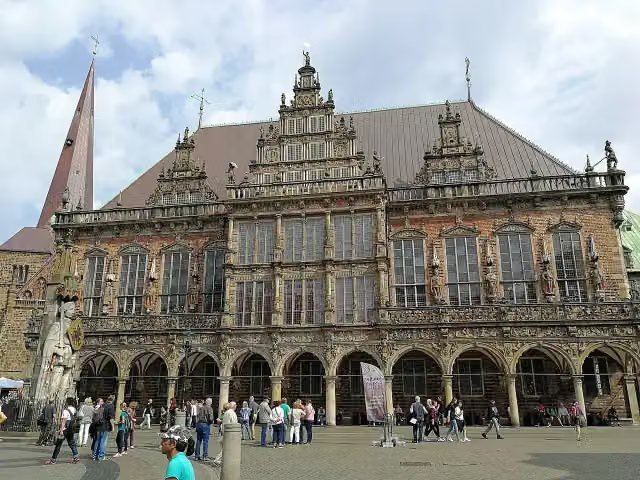 Town HallAttraction · 650 m from the route
- 2
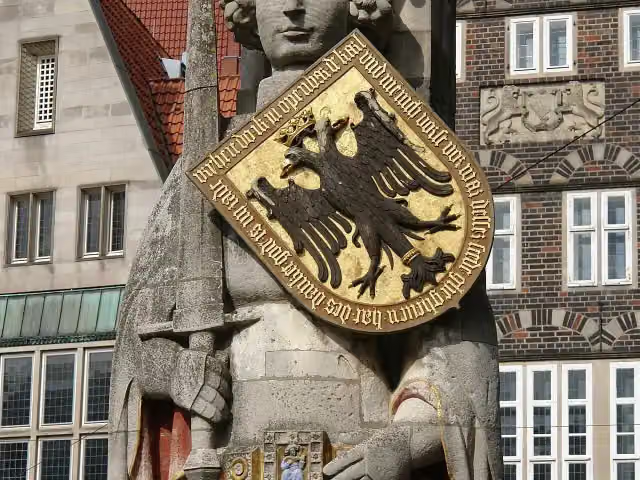 RolandAttraction · 660 m from the route
- 3
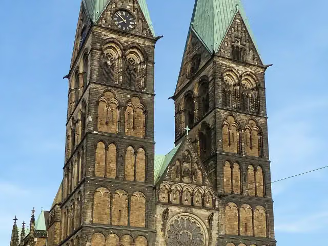 Saint Peter's CathedralAttraction · 558 m from the route
- 4
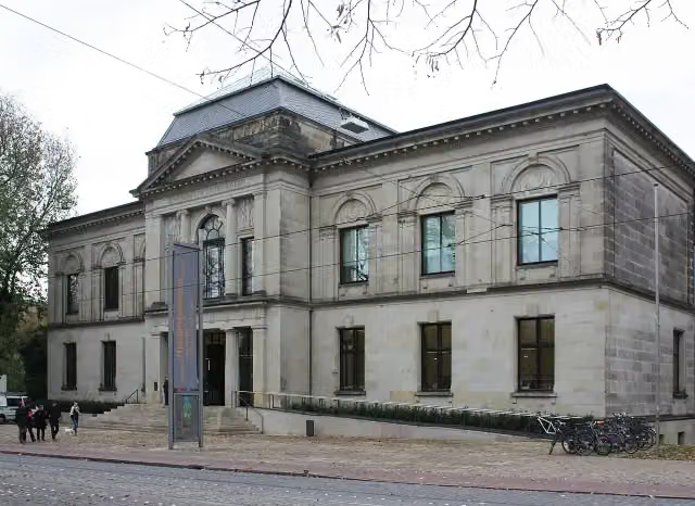 Kunsthalle BremenMuseum · 194 m from the route
- 5
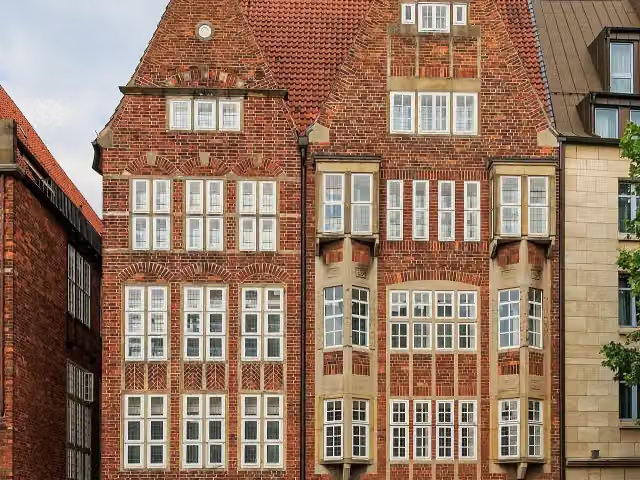 The Atlantis HouseAttraction · 653 m from the route
- 6
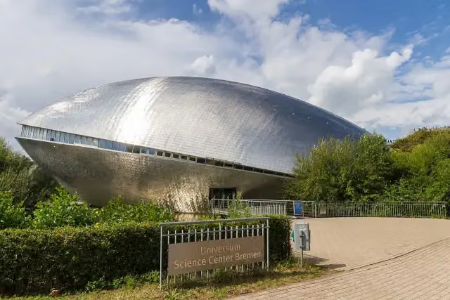 Science CenterMuseum · 4.3 km from the route
- 7
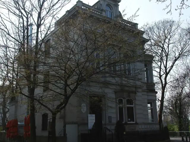 Villa IchonMuseum · 162 m from the route
- 8
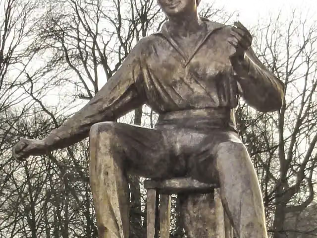 Heinrich Heine (1797-1856)Memorial · 195 m from the route
- 9
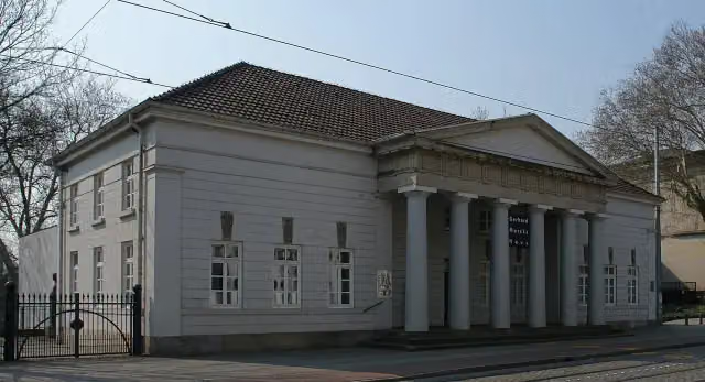 Gerhard-Marcks-HausMuseum · 209 m from the route
- 10
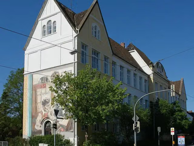 Schulmuseum BremenMuseum · 282 m from the route
- 11
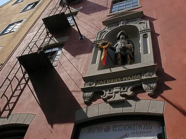 Bremer GeschichtenhausMuseum · 286 m from the route
- 12
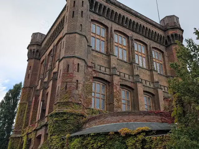 WasserkunstAttraction · 354 m from the route
- 13
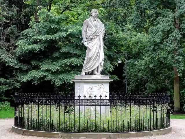 H. W. M. OlbersMemorial · 366 m from the route
- 14
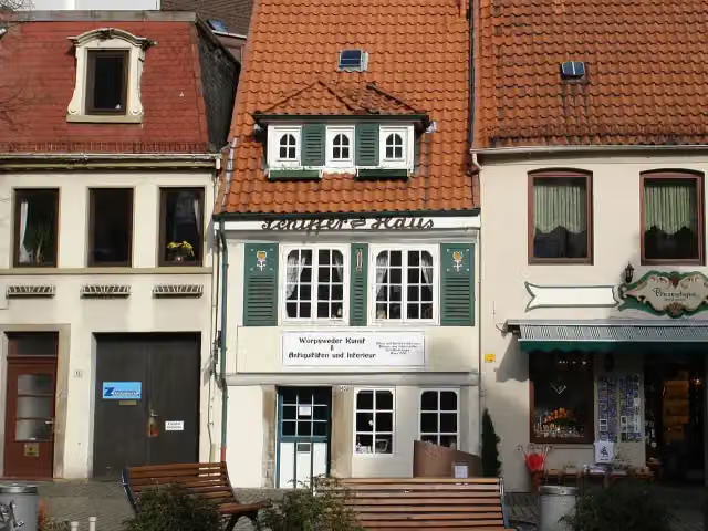 SchifferhausMuseum · 377 m from the route
- 15
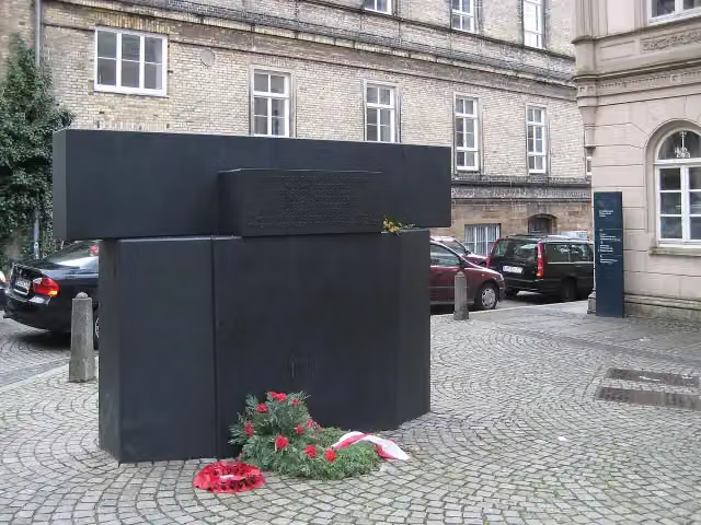 Mahnmal für die Opfer der Novemberpogrome 1938Memorial · 411 m from the route
- 16
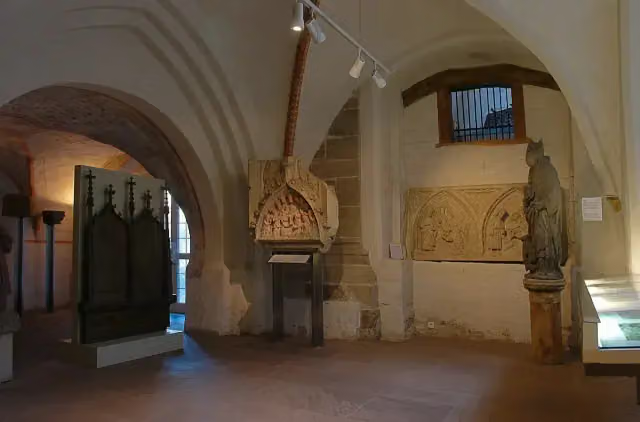 Dom-MuseumMuseum · 527 m from the route
- 17
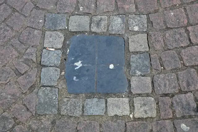 Spuckstein – Gesche GottfriedMemorial · 600 m from the route
- 18
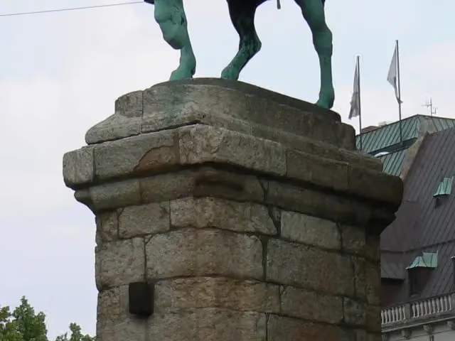 Reiterstandbild Otto von BismarckMemorial · 602 m from the route
- 19
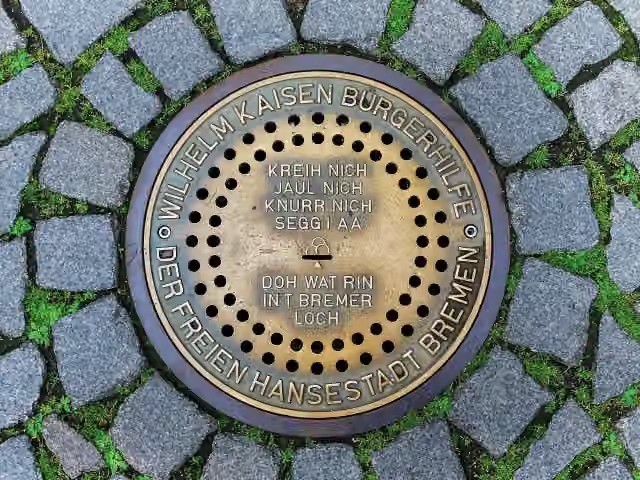 Bremer LochAttraction · 630 m from the route
- 20
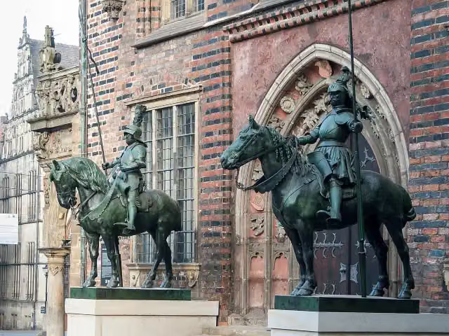 HeroldMemorial · 636 m from the route
- 21
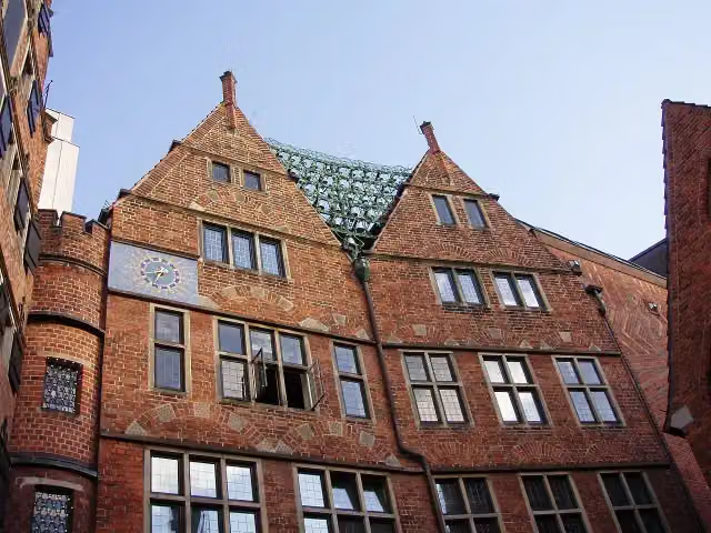 Haus des GlockenspielsAttraction · 638 m from the route
- 22
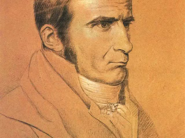 Johann Gottfried SeumeMemorial · 642 m from the route
- 23
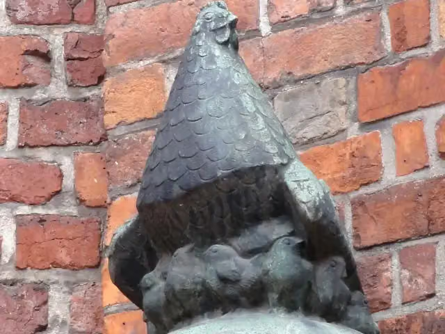 Die GluckhenneMemorial · 650 m from the route
- 24
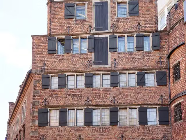 Ludwig Roselius MuseumMuseum · 652 m from the route
- 25
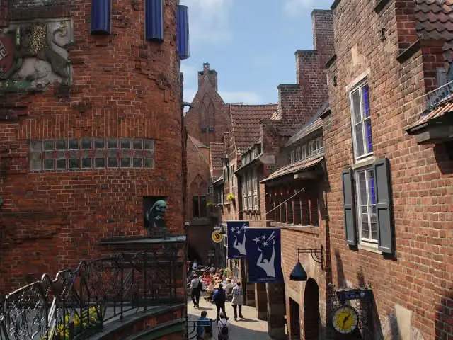 BöttcherstraßeAttraction · 657 m from the route
Starting point
More routes from this place
Route data © OpenStreetMap contributors





