Skip to content
Outdoor Pitstop logoOutdoor Pitstop

Cycle route · Bremen · Updated on 14 November 2026

Premiumroute Wallring cycle route

Premiumroute Wallring is a cycle route of 4.2 km from Bremen. Along the way you'll find 137 benches, 2 water fountains and refill points and 4 public toilets.
Navigate in the app
Premiumroute Wallring
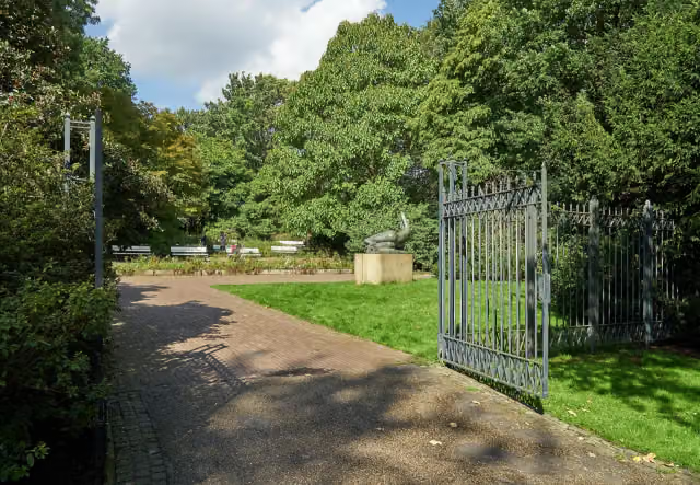
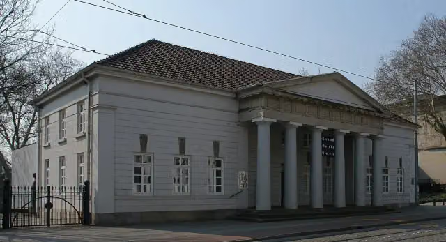
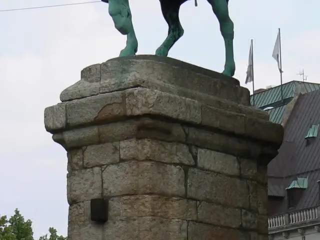
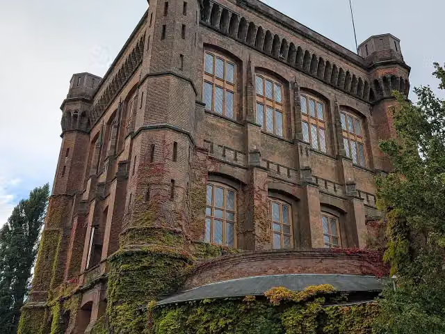
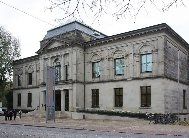
Kunsthalle Bremen · after 4 km
i
Photo: Dguendel · Wikimedia Commons · CC BY 4.0View the photo on Wikimedia Commons
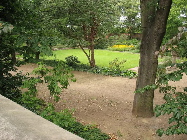
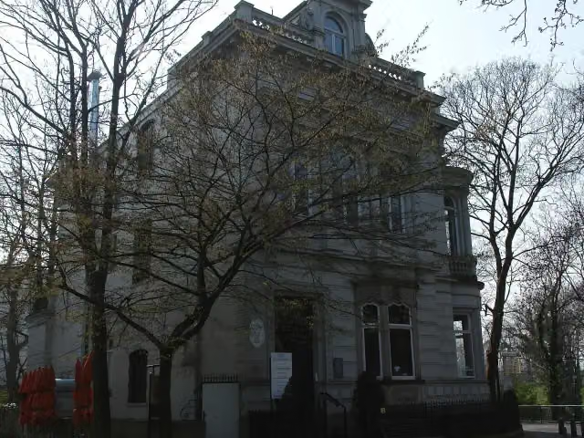
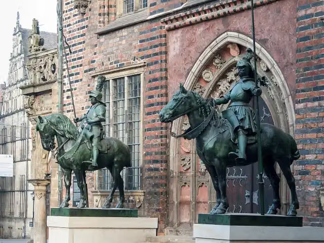
Premiumroute Wallring, photo 2
i
Photo: Godewind (talk) · Wikimedia Commons · CC BY-SA 4.0View the photo on Wikimedia Commons
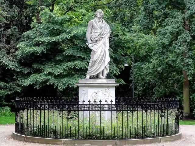
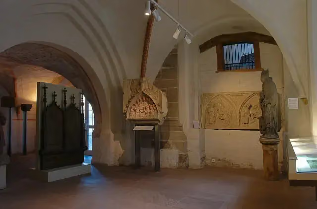
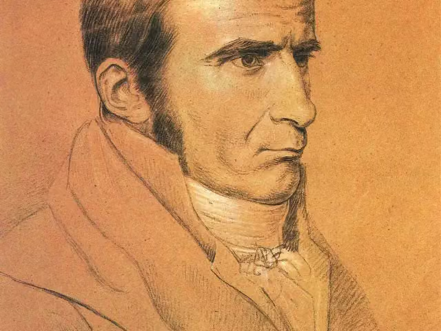
Premiumroute Wallring, photo 3
i
Photo: w:de:User:Romwriter · Wikimedia Commons · CC BY-SA 3.0View the photo on Wikimedia Commons

The route step by step

From start to finish, with what you pass along the way and the distance in between.

  • 4.2 km
  • ± 15 min
  • ↑ 5 m · ↓ 0 m
  • Easy
  • From A to B
  • Regional route
  1. Start in Bremen

    0 km
  2. 559 m · 16 benches

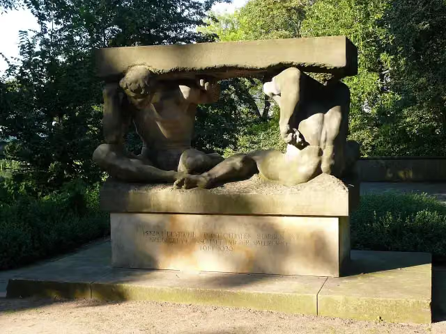
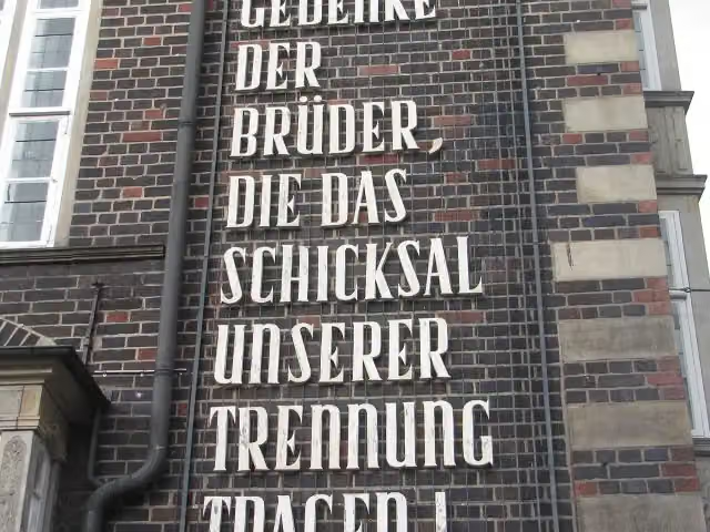
    Gefallenendenkmal der Technischen Lehranstalten

    559 m

    Memorial

  3. 245 m · 3 benches

    Water point

    804 m
  4. 1.4 km · 29 benches

    Public toilet

    2.2 km
  5. 818 m · 22 benches

    Public toilet

    3 km
  6. 466 m · 33 benches

    Public toilet

    3.5 km
  7. 336 m · 26 benches

    H. W. M. Olbers and 1 more

    3.8 km

    Kunsthalle Bremen, public toilet and water point

  8. 185 m · 5 benches

    Heinrich Heine (1797-1856)

    4 km

    Memorial

  9. 153 m · 3 benches

    Finish

    4.2 km
Follow these steps in the app

Longest stretch without a toilet: 2.2 kmBetween 0 km and 2.2 km there is no public toilet within 100 m of the route.

The route with the pitstops and sights within 100 m of it.

4 sights along the way

In the order you pass them. With the Outdoor Pitstop app you hear their story on the spot.

Elevation and terrain

Up
↑ 5 m
Down
↓ 0 m
Highest point
18 m
Lowest point
7 m

Nowhere steeper than 5%.

Elevation from Copernicus GLO-30 (European Union and ESA), smoothed.

produced using Copernicus WorldDEM-30 © DLR e.V. 2010-2014 and © Airbus Defence and Space GmbH 2014-2018 provided under COPERNICUS by the European Union and ESA; all rights reserved

Way types

4.2 km in total
  • Cycle path: 1.9 km
  • Street: 1.2 km
  • Path: 1 km
  • Busy road: 75 m

Surfaces

4.2 km in total
  • Asphalt: 3.3 km
  • Paved: 890 m

About the cycle route Premiumroute Wallring

Updated on 14 November 2026, with data from OpenStreetMap, the AHN and Copernicus.

Where do you cycle?

Premiumroute Wallring is a cycle route of 4.2 km that starts in Bremen. It does not end where it starts. Along the way you pass Gefallenendenkmal der Technischen Lehranstalten (after 559 m), H. W. M. Olbers (after 3.8 km) and Kunsthalle Bremen (after 4 km).

How hard is the route?

The route is almost flat. You climb 5 m in total and descend 0 m. Allow ± 15 min, without breaks. The level is easy.

What roads do you cycle on?

The longest part is cycle path (1.9 km), street (1.2 km) and path (1 km). Of the surface, 3.3 km asphalt and 890 m paved.

Pitstops along the way

Within 100 metres of the route there are 137 benches, 2 water fountains and refill points and 4 public toilets. You can fill your bottle after 804 m and after 4 km. The longest stretch without a toilet is 2.2 km. The Outdoor Pitstop app navigates you there.

Website of the route

Sights nearby

Within 10 km of the route, best known first.

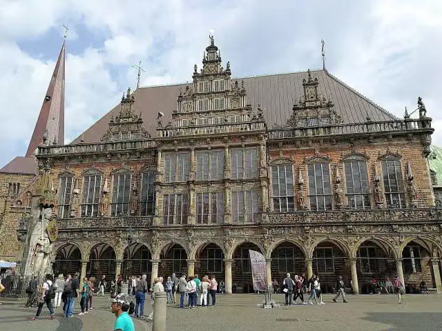
  1. 1Town HallTown HallAttraction · 258 m from the route
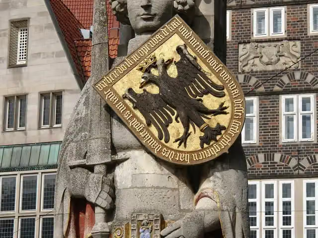
  2. 2RolandRolandAttraction · 303 m from the route
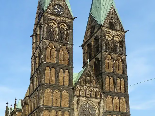
  3. 3Saint Peter's CathedralSaint Peter's CathedralAttraction · 229 m from the route
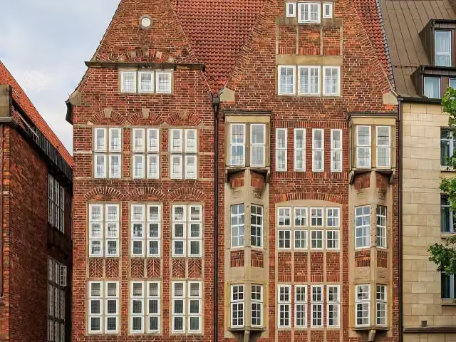
  4. 4The Atlantis HouseThe Atlantis HouseAttraction · 485 m from the route
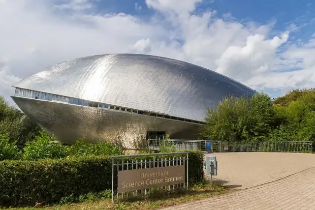
  5. 5Science CenterScience CenterMuseum · 3.9 km from the route
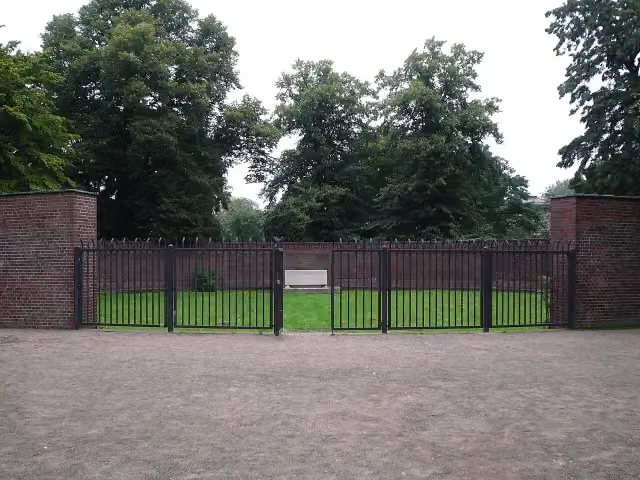
  6. 6Kriegerehrenmal AltmannshöheKriegerehrenmal AltmannshöheMonument · 98 m from the route
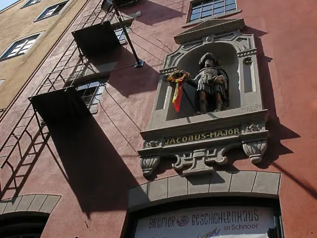
  7. 7Bremer GeschichtenhausBremer GeschichtenhausMuseum · 118 m from the route
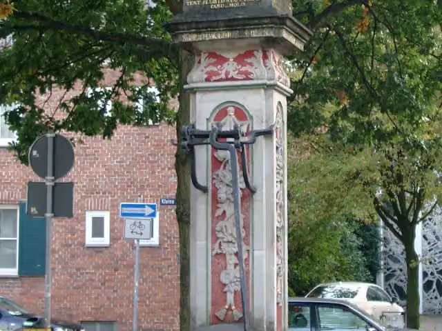
  8. 8Kleiner RolandKleiner RolandMemorial · 129 m from the route
  9. 9Gerhard-Marcks-HausGerhard-Marcks-HausMuseum · 137 m from the route
  10. 10Villa IchonVilla IchonMuseum · 187 m from the route
  11. 11Dom-MuseumDom-MuseumMuseum · 196 m from the route
  12. 12KriegsgefangenendenkmalKriegsgefangenendenkmalMemorial · 208 m from the route
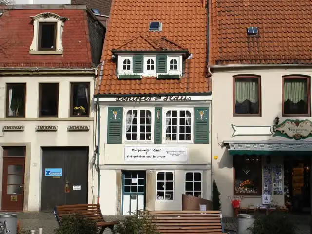
  13. 13SchifferhausSchifferhausMuseum · 209 m from the route
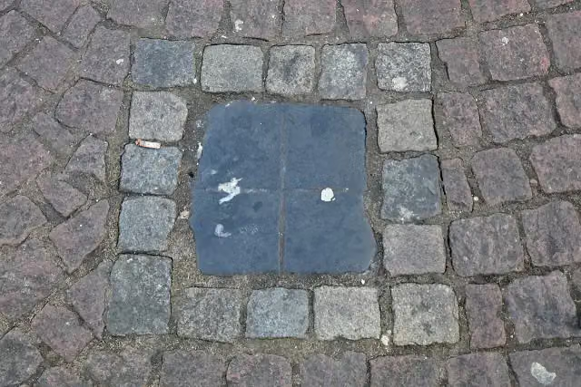
  14. 14Spuckstein – Gesche GottfriedSpuckstein – Gesche GottfriedMemorial · 216 m from the route
  15. 15Mall of FameMall of FameAttraction · 221 m from the route
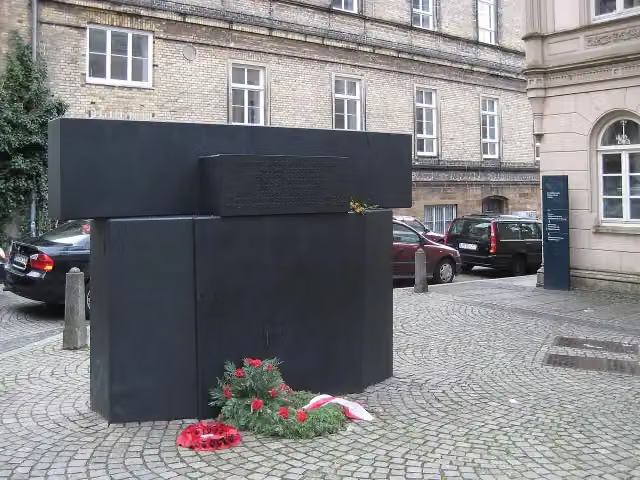
  16. 16Mahnmal für die Opfer der Novemberpogrome 1938Mahnmal für die Opfer der Novemberpogrome 1938Memorial · 234 m from the route
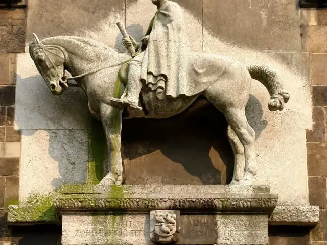
  17. 17Helmuth von MoltkeHelmuth von MoltkeMemorial · 249 m from the route
  18. 18Reiterstandbild Otto von BismarckReiterstandbild Otto von BismarckMemorial · 255 m from the route
  19. 19HeroldHeroldMemorial · 275 m from the route
  20. 20Johann Gottfried SeumeJohann Gottfried SeumeMemorial · 289 m from the route
  21. 21MemorialMemorialMemorial · 305 m from the route
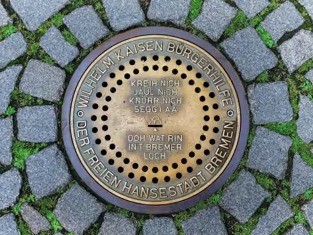
  22. 22Bremer LochBremer LochAttraction · 307 m from the route
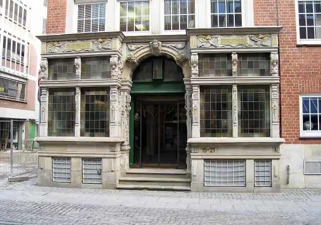
  23. 23EssighausEssighausAttraction · 359 m from the route
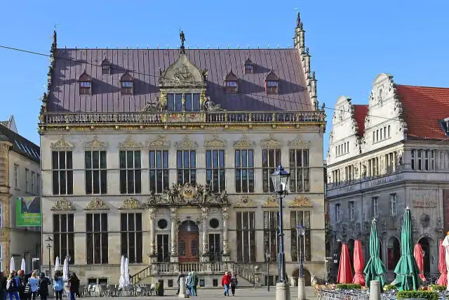
  24. 24SchüttingSchüttingAttraction · 369 m from the route
  25. 25WasserkunstWasserkunstAttraction · 388 m from the route

Explore more

Frequently asked questions

How long is Premiumroute Wallring?

Premiumroute Wallring is 4.2 km long. Allow ± 15 min of riding: 15 km an hour, without breaks.

Is this route a circular ride?

No, the route starts and ends at different spots.

Where does this route start?

The route starts in Bremen.

How hard is this route?

Easy, with 5 m of climbing.

Are there toilets along this route?

Yes, there are 4 public toilets within 100 m of the route. The longest stretch without a toilet is 2.2 km.

Can you fill up with water along this route?

Yes, there are 2 water fountains and refill points within 100 m of the route.

What is there to see along this route?

Along the way you pass Gefallenendenkmal der Technischen Lehranstalten, H. W. M. Olbers and Kunsthalle Bremen.

Can I download this route as a GPX file?

Yes. Sign in with your Outdoor Pitstop account and choose Download GPX at the top of this page: 10 routes a month for free, unlimited with Pro.

Starting point

More routes from this place

Bremen

Route data © OpenStreetMap contributors

The free app

All of Outdoor Pitstop, in your pocket

Find the nearest pitstop, navigate there, listen to audio tours, earn XP and make routes and lists together.

Download on the App StoreGet it on Google Play
How Outdoor Pitstop works →
The map of the app with pitstops nearby
A pitstop in the app, with a photo, a review and Navigate
Your profile in the app, with level and XP