 Outdoor Pitstop
Cycle route · Lüneburg · Updated on 14 November 2026
Elbe-Oderhaff Radweg cycle route
Elbe-Oderhaff Radweg is a cycle route of 517.3 km from Lüneburg. Along the way you'll find 622 benches, 9 water fountains and refill points, 57 public toilets, 8 bike pumps and 4 honesty boxes and farm vending machines.
i
i
The route step by step
From start to finish, with what you pass along the way and the distance in between.
- 517.3 km
- ± 34:30 h
- ↑ 1,492 m · ↓ 1,508 m
- Hard
- From A to B
- Regional route
- Colour of the signs
Start in Lüneburg
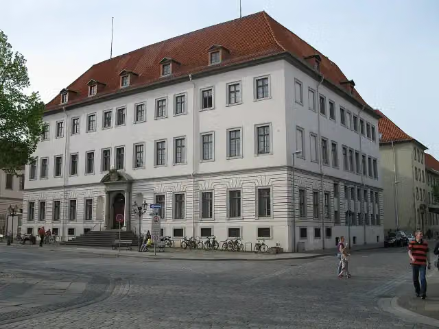
0 kmAt the start: Stadtschloss Lüneburg, 2 public toilets and water point.
439 m · bench

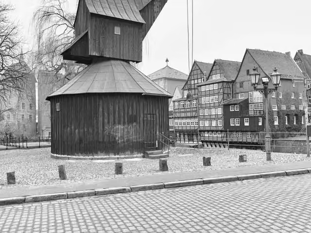
Old Crane
439 mPublic toilet and water point
1.3 km · 9 benches
Textilmuseum
1.7 kmPublic toilet
2.1 km · bench
Bike pump
3.8 km5.3 km · 28 benches
2 public toilets
9.1 km169 m · bench
Public toilet and bike pump
9.3 km8.6 km
Buckelgräberfeld Boltersen
17.9 kmArchaeological site
1.6 km
Bike pump
19.5 km11 km · 5 benches
Aussichtsturm am Biosphaerium Elbtalaue and 1 more
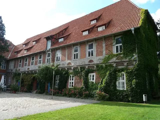
30.6 kmElbschloss Bleckede and public toilet
1.4 km · 5 benches
Public toilet
32 km1.2 km · 6 benches
Bike pump
33.1 km12.4 km · 2 benches
Public toilet
45.6 km16 km · 4 benches
Denkpyramide Zwangsumsiedlungen Vockfey and 1 more
61.6 kmDokumentationsstätte Zwangsumsiedlungen Vockfey
25.7 km
Observation tower
87.2 kmObservation tower
4.1 km · 3 benches
Public toilet
91.3 km3.1 km · 6 benches
ehem. Grenzturm
94.5 kmObservation tower
182 m · 2 benches
Public toilet
94.6 km41.2 km · 16 benches
Museum Schloss Ludwigslust and 1 more
135.9 kmSchloss Ludwigslust
30.2 km · 18 benches
Public toilet
166.1 km28.8 km · 43 benches
Public toilet
194.9 km22.2 km · 9 benches
Public toilet
217.1 km194 m
Public toilet and water point
217.3 km197 m
Public toilet
217.5 km1.2 km · 27 benches
Public toilet
218.7 km8.3 km · 14 benches
Public toilet and bike pump
227 km21.7 km · 5 benches
2 honesty boxes and farm vending machines
248.7 km4 km · 2 benches
Public toilet
252.7 km933 m · 6 benches
Public toilet
253.7 km672 m · 5 benches
2 public toilets
254.3 km18.9 km · 32 benches
Seehotel Schloss Klink
273.2 kmCastle
Show the other 37 steps
258 m · 6 benches
Public toilet
273.5 km807 m
Public toilet
274.3 km7.4 km · 8 benches
4 public toilets
281.7 km1.3 km · 35 benches
Müritzeum
282.9 km2 public toilets
616 m · 78 benches
Public toilet and water point
283.6 km11.2 km · 31 benches
Public toilet and water point
294.8 km3 km
Specker See
297.7 kmObservation tower
523 m · bench
ehemaliges Jagdhaus Willy Stoph
298.3 kmAttraction
870 m · 2 benches
Binnenmüritz
299.1 kmObservation tower
4 km · 3 benches
2 public toilets
303.1 km7.1 km · 3 benches
Public toilet
310.3 km433 m
Public toilet
310.7 km3.4 km · bench
Public toilet
314 km1.6 km · 3 benches
Honesty box
315.7 km10 km · 7 benches
2 public toilets
325.7 km7.8 km · 7 benches
2 public toilets
333.5 km1.7 km · 2 benches
Public toilet and bike pump
335.2 km3.5 km · 2 benches
Bike pump
338.7 km5.4 km
Bike pump
344.2 km8.9 km
Public toilet
353.1 km4.1 km · 7 benches
Public toilet and 4 water fountains and refill points
357.2 km13 km · 34 benches
Stasi-Haftanstalt Neustrelitz
370.3 kmMuseum
2.3 km · 12 benches
Public toilet
372.5 km62 km · 19 benches
Public toilet
434.5 km1.3 km · 30 benches
Museum Stadtgeschichte and 1 more
435.8 kmTreptower Tor
605 m · 5 benches
Fangelturm
436.5 kmPublic toilet
519 m · 14 benches
Friedländer Tor
437 kmAttraction
172 m · 2 benches
Public toilet
437.1 km2.8 km · 9 benches
Public toilet
440 km248 m
Public toilet
440.2 km1.2 km · 3 benches
Kirchenruine Küssow
441.4 kmRuins
6.8 km · 8 benches
Honesty box
448.2 km64.8 km
Public toilet
512.9 km183 m · bench
Public toilet
513.1 km1.4 km · bench
Public toilet
514.5 km372 m · 8 benches
Schloss Ueckermünde
514.8 km2 public toilets
2.4 km · 19 benches
Finish
517.3 kmAt the finish: public toilet.
Longest stretch without a toilet: 72.7 kmBetween 440.2 km and 512.9 km there is no public toilet within 100 m of the route.
The route with the pitstops and sights within 100 m of it.
24 sights along the way
In the order you pass them. With the Outdoor Pitstop app you hear their story on the spot. 16 more along the route are on the map.
i
Photo: Motiko98 · Wikimedia Commons · CC BY 3.0View the photo on Wikimedia CommonsCastle · after 0 m
i
Photo: StefanK0815 · Wikimedia Commons · CC BY-SA 3.0View the photo on Wikimedia CommonsAttraction · after 439 m
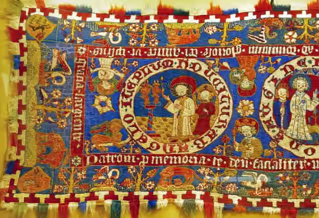
Museum · after 1.7 km
i
Photo: Stefan Ahlswede · Wikimedia Commons · CC BY 4.0View the photo on Wikimedia CommonsArchaeological site · after 17.9 km

Observation tower · after 30.6 km
i
Photo: Ronald Preuß · Wikimedia Commons · CC BY-SA 2.0View the photo on Wikimedia CommonsCastle · after 30.6 km
Memorial · after 61.6 km
Memorial · after 61.6 km
Elevation and terrain
- Up
- ↑ 1,492 m
- Down
- ↓ 1,508 m
- Highest point
- 127 m
- Lowest point
- 3 m
- 2 stairs
Elevation from Copernicus GLO-30 (European Union and ESA), smoothed.
produced using Copernicus WorldDEM-30 © DLR e.V. 2010-2014 and © Airbus Defence and Space GmbH 2014-2018 provided under COPERNICUS by the European Union and ESA; all rights reserved
Way types
517.3 km in total- Road: 194.7 km
- Path: 91.9 km
- Track: 86.6 km
- Street: 51.7 km
- Busy road: 48.3 km
- Cycle path: 36.9 km
- Footpath (walk your bike): 5.9 km
- Steps (carry your bike): 2 stairs
- Unknown: 400 m
Surfaces
517.3 km in total- Asphalt: 302.4 km
- Paved: 75.1 km
- Gravel: 52.6 km
- Unpaved: 16.6 km
- Natural: 7.7 km
- Unknown: 62.3 km
About the cycle route Elbe-Oderhaff Radweg
Updated on 14 November 2026, with data from OpenStreetMap, the AHN and Copernicus.
Where do you cycle?
Elbe-Oderhaff Radweg is a cycle route of 517.3 km that starts in Lüneburg. It does not end where it starts. You start in Lüneburg and finish in Ueckermünde. Along the way you pass Stadtschloss Lüneburg (after 0 m), Old Crane (after 439 m) and Textilmuseum (after 1.7 km).
How hard is the route?
You climb 1,492 m in total and descend 1,508 m. There are 2 flights of steps along the way. Allow ± 34:30 h, without breaks. The level is hard.
What roads do you cycle on?
The longest part is road (194.7 km), path (91.9 km) and track (86.6 km). Of the surface, 302.4 km asphalt and 75.1 km paved. For 62.3 km the surface is not known.
Pitstops along the way
Within 100 metres of the route there are 622 benches, 9 water fountains and refill points, 57 public toilets, 8 bike pumps and 4 honesty boxes and farm vending machines. The longest stretch without a toilet is 72.7 km. The Outdoor Pitstop app navigates you there.
Cycle routes nearby
5Sights nearby
Within 10 km of the route, best known first.
- 1
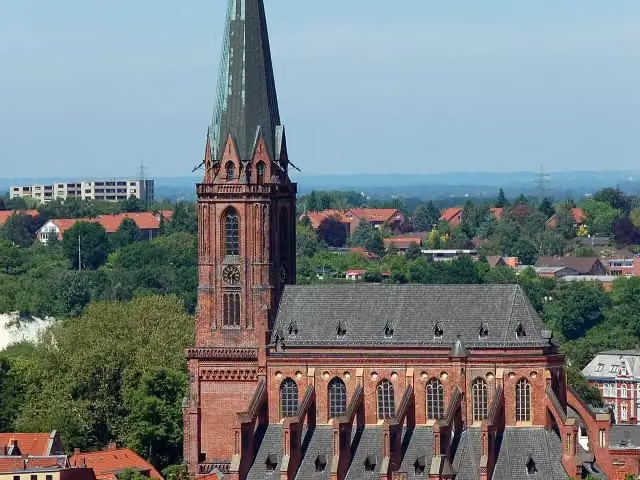 Saint Nicholas ChurchAttraction · 133 m from the route
- 2
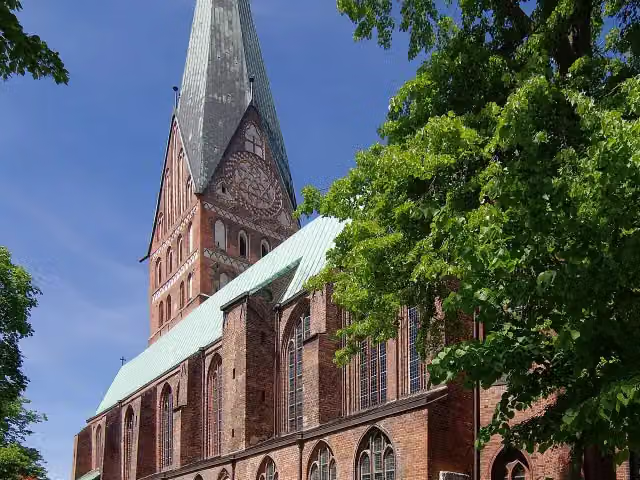 St. John's ChurchAttraction · 293 m from the route
- 3
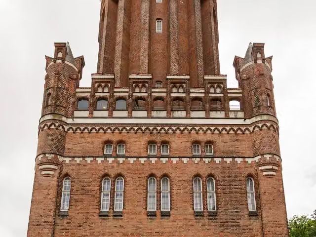 Lüneburg Water TowerAttraction · 412 m from the route
- 4
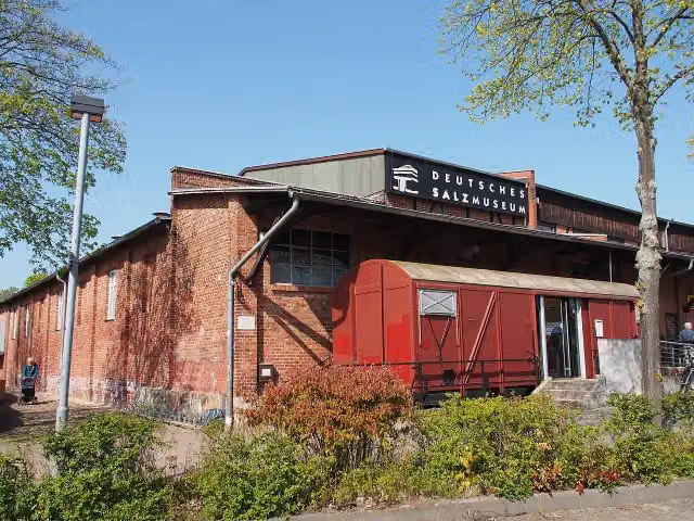 German Salt MuseumMuseum · 861 m from the route
- 5
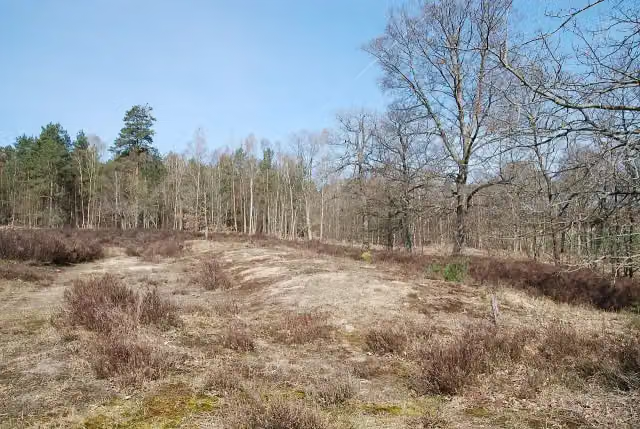 Hünenbett ohne Kammer von BoltersenArchaeological site · 115 m from the route
- 6
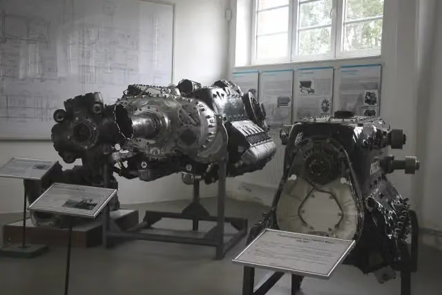 Luftfahrttechnisches MuseumMuseum · 120 m from the route
- 7
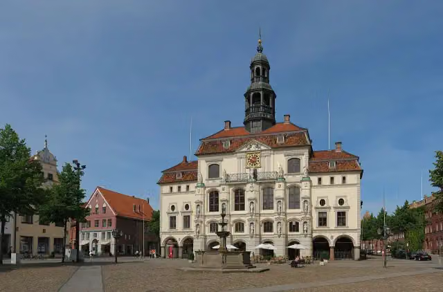 Rathaus LüneburgAttraction · 124 m from the route
- 8
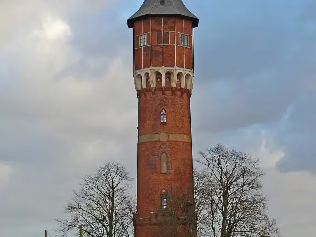 WasserturmMuseum · 143 m from the route
- 9
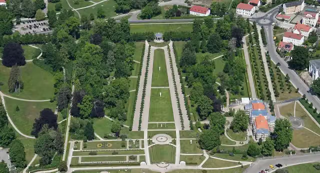 SchloßgartenAttraction · 145 m from the route
- 10
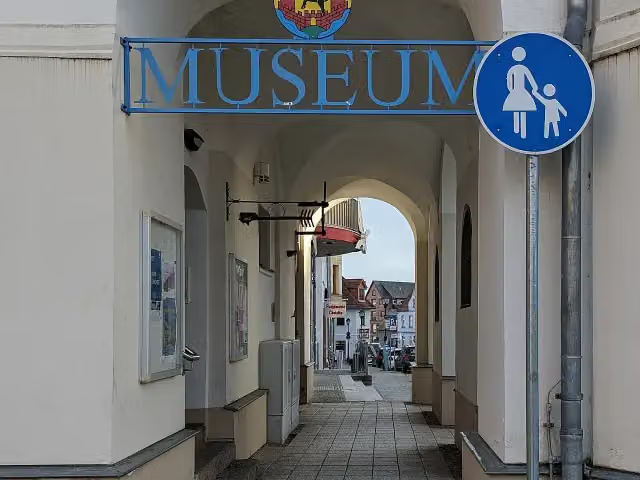 Stadtgeschichtliches MuseumMuseum · 172 m from the route
- 11
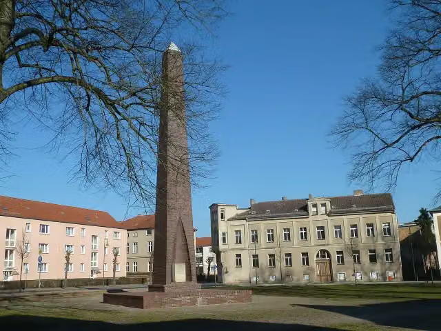 Den Opfern des FaschismusMemorial · 182 m from the route
- 12
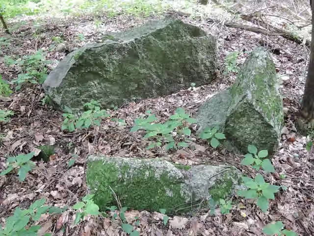 Großsteingrab Stuer 7Archaeological site · 194 m from the route
- 13
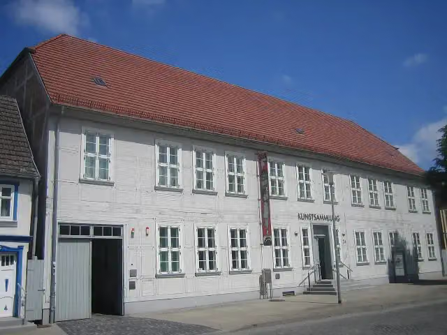 Kunstsammlung NeubrandenburgMuseum · 210 m from the route
- 14
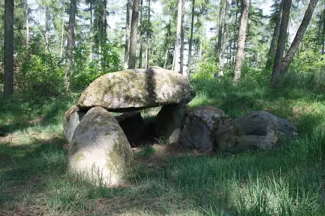 Großsteingrab BollewickArchaeological site · 217 m from the route
- 15
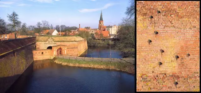 Festung DömitzAttraction · 231 m from the route
- 16
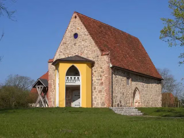 Hörspielkirche FederowAttraction · 278 m from the route
- 17
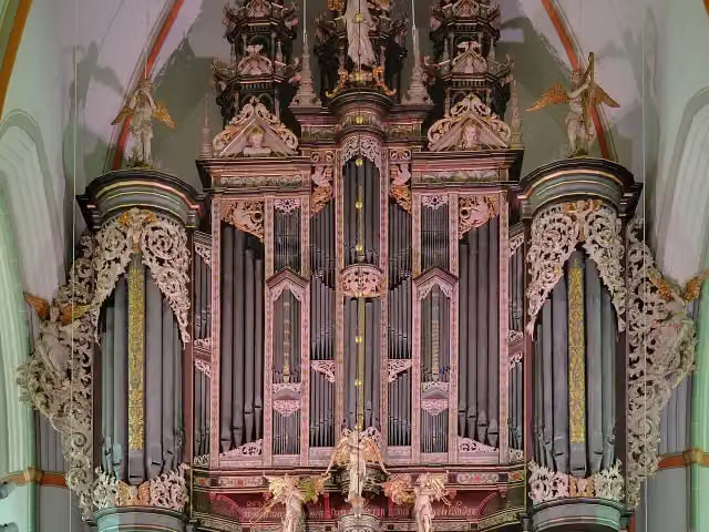 Orgeln von St. JohannisAttraction · 299 m from the route
- 18
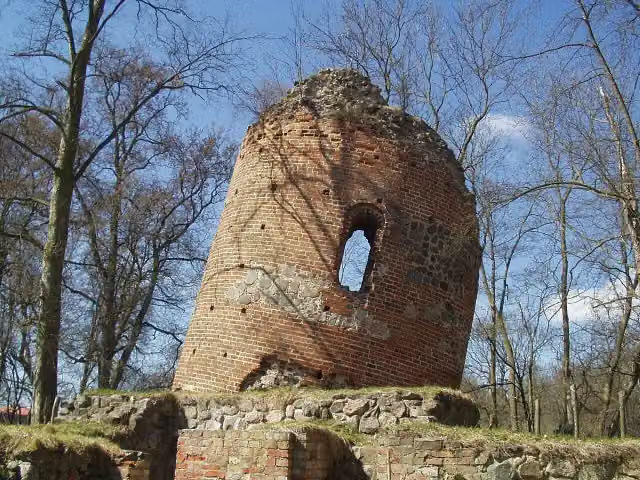 Burg GalenbeckRuins · 311 m from the route
- 19
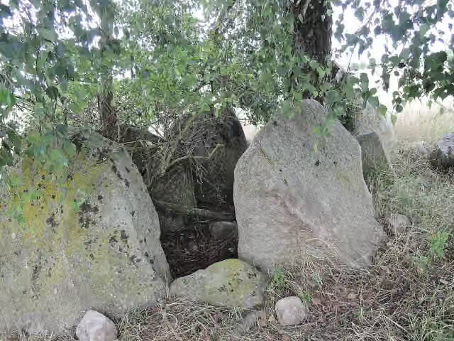 Großsteingrab Stuer 6Archaeological site · 349 m from the route
- 20
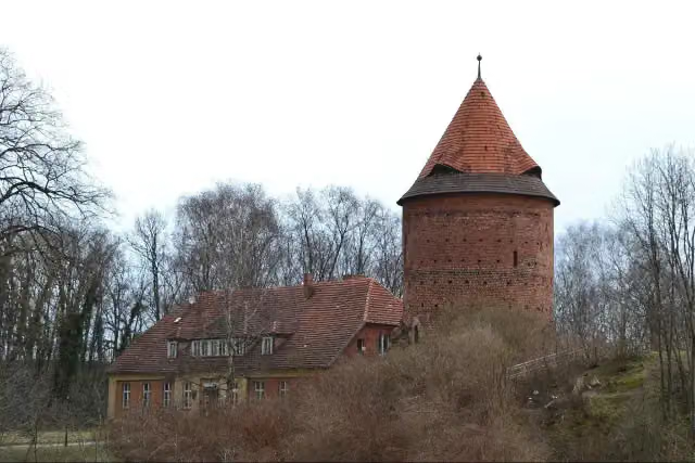 Plauer BurgCastle · 372 m from the route
- 21
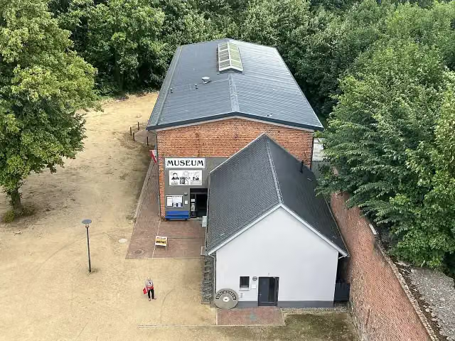 BurgmuseumMuseum · 379 m from the route
- 22
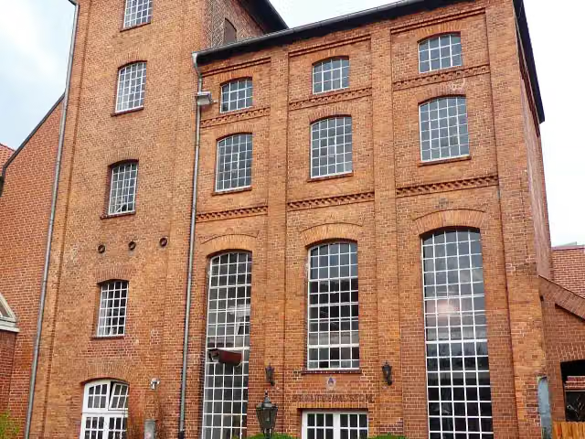 BrauereimuseumMuseum · 447 m from the route
- 23
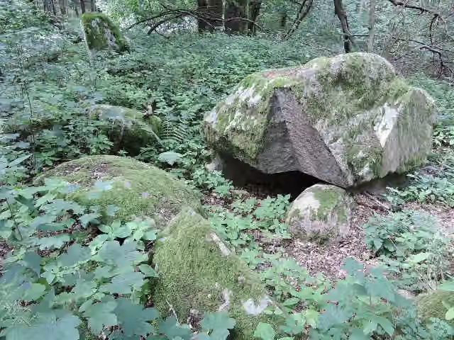 Großsteingrab Stuer 2Archaeological site · 453 m from the route
- 24
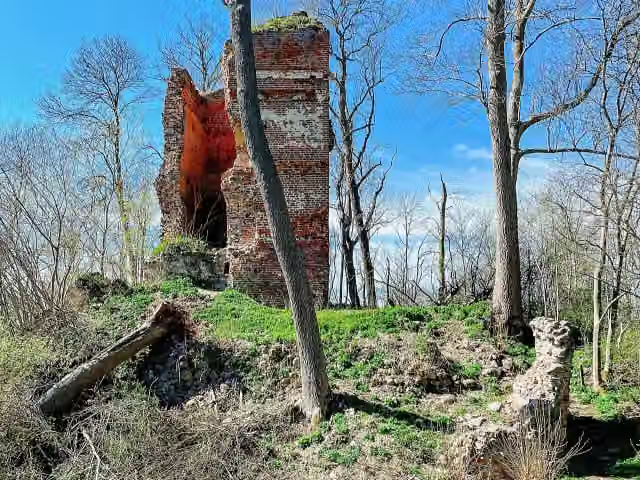 Burg StuerCastle · 459 m from the route
- 25
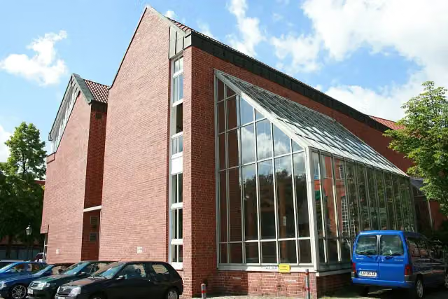 Ostpreußisches Landesmuseum LüneburgMuseum · 460 m from the route
Explore more
More cycle routes around Lüneburg
Frequently asked questions
How long is Elbe-Oderhaff Radweg?
Elbe-Oderhaff Radweg is 517.3 km long. Allow ± 34:30 h of riding: 15 km an hour, without breaks.
Is this route a circular ride?
No, the route runs from Lüneburg to Ueckermünde.
Where does this route start?
The route starts in Lüneburg.
How hard is this route?
Hard, with 1,492 m of climbing.
Are there toilets along this route?
Yes, there are 57 public toilets within 100 m of the route. The longest stretch without a toilet is 72.7 km.
Can you fill up with water along this route?
Yes, there are 9 water fountains and refill points within 100 m of the route.
What is there to see along this route?
Along the way you pass Stadtschloss Lüneburg, Old Crane and Textilmuseum.
Can I download this route as a GPX file?
Yes. Sign in with your Outdoor Pitstop account and choose Download GPX at the top of this page: 10 routes a month for free, unlimited with Pro.
Starting point
More routes from this place
Route data © OpenStreetMap contributors





