 Outdoor Pitstop
Cycle route · Jevenstedt · Updated on 14 November 2026
Ochsenweg cycle route
Ochsenweg is a cycle route of 103.9 km from Jevenstedt. Along the way you'll find 276 benches, 11 public toilets, 4 bike pumps and 1 honesty box.
i
i
i
The route step by step
From start to finish, with what you pass along the way and the distance in between.
- 103.9 km
- ± 6:55 h
- ↑ 305 m · ↓ 284 m
- Hard
- From A to B
- Regional route
- Colour of the signs
Start in Jevenstedt
0 km8.8 km · 8 benches
Bike pump
8.8 km1.4 km · 7 benches

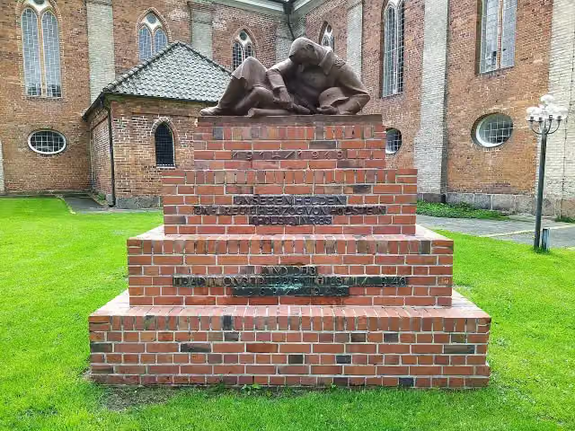
Regimentsdenkmal
10.2 kmMemorial
755 m · 33 benches
Public toilet
11 km32.6 km · 50 benches
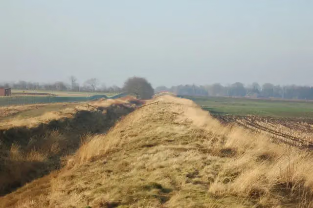
Kograben
43.6 kmArchaeological site
2.7 km · bench
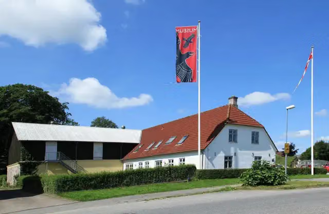
Danevirke Museum
46.3 kmPublic toilet
759 m · 6 benches
Honesty box
47.1 km3.4 km · 13 benches
Public toilet
50.5 km1.8 km · 5 benches
Public toilet
52.3 km1.6 km · 20 benches
Bike pump
53.9 km710 m · 5 benches
Public toilet
54.6 km11.6 km · 14 benches
Bike pump
66.3 km19 km · 15 benches
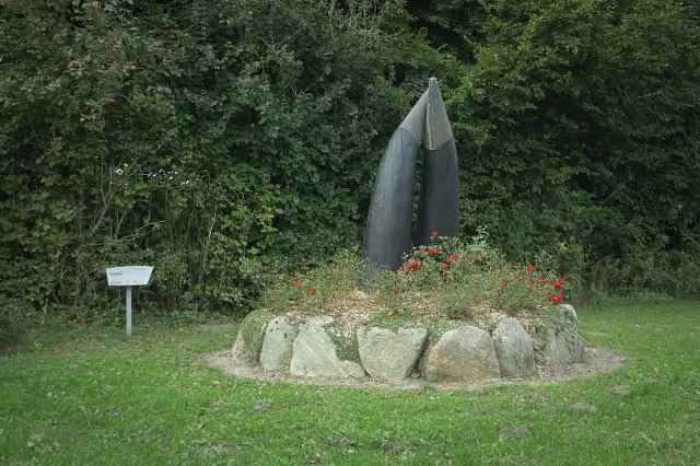
Dänen-Denkmal
85.3 kmMemorial
590 m
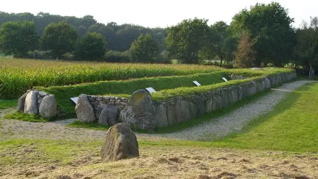
Großsteingrab Munkwolstrup 1
85.8 kmPublic toilet
9 km · 4 benches
Public toilet
94.8 km1.6 km · 29 benches
Opfer der NS-Gewaltherrschaft
96.4 km3 public toilets
457 m · 21 benches
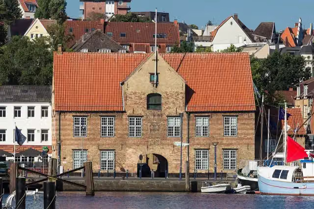
Kompagnietor and 1 more
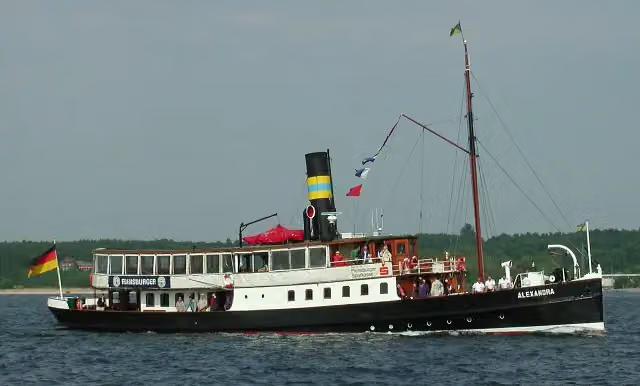
96.9 kmAlexandra
342 m · 2 benches
Flensburger Schifffahrtsmuseum and 1 more
97.2 kmMuseumswerft
436 m · 16 benches
Nordertor and 1 more
97.7 kmPhänomenta and public toilet
1.1 km · 17 benches
Bergmühle
98.8 kmAttraction
4.3 km · 8 benches
Bike pump
103.1 km190 m
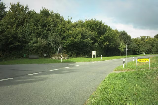
Burg Niehuus
103.3 kmArchaeological site
610 m · 2 benches
Finish
103.9 km
Longest stretch without a toilet: 35.3 kmBetween 11 km and 46.3 km there is no public toilet within 100 m of the route.
The route with the pitstops and sights within 100 m of it.
14 sights along the way
In the order you pass them. With the Outdoor Pitstop app you hear their story on the spot. 6 more along the route are on the map.
i
Photo: Gerd Fahrenhorst · Wikimedia Commons · CC BY 4.0View the photo on Wikimedia CommonsMemorial · after 10.2 km
i
Photo: Volknei · Wikimedia Commons · CC BY-SA 3.0 deView the photo on Wikimedia CommonsArchaeological site · after 43.6 km
i
Photo: Frank Vincentz · Wikimedia Commons · CC BY-SA 3.0View the photo on Wikimedia CommonsMuseum · after 46.3 km

Memorial · after 85.3 km
i
Photo: Holger rix · Wikimedia Commons · CC BY-SA 3.0View the photo on Wikimedia CommonsArchaeological site · after 85.9 km

i
Photo: Hjart · Wikimedia Commons · CC BY-SA 4.0View the photo on Wikimedia CommonsMemorial · after 96.5 km
i
Photo: N. Simonsen · Wikimedia Commons · CC BY-SA 3.0View the photo on Wikimedia CommonsAttraction · after 96.9 km
i
Photo: VollwertBIT · Wikimedia Commons · CC BY-SA 2.5View the photo on Wikimedia CommonsAttraction · after 96.9 km
Elevation and terrain
- Up
- ↑ 305 m
- Down
- ↓ 284 m
- Highest point
- 58 m
- Lowest point
- 1 m
- 1 flight of stairs
Elevation from Copernicus GLO-30 (European Union and ESA), smoothed.
produced using Copernicus WorldDEM-30 © DLR e.V. 2010-2014 and © Airbus Defence and Space GmbH 2014-2018 provided under COPERNICUS by the European Union and ESA; all rights reserved
Way types
103.9 km in total- Road: 51.1 km
- Path: 24 km
- Street: 20.1 km
- Track: 6.4 km
- Busy road: 1 km
- Cycle path: 625 m
- Footpath (walk your bike): 275 m
- Steps (carry your bike): 1 flight of stairs
- Unknown: 250 m
Surfaces
103.9 km in total- Asphalt: 83.8 km
- Paved: 7.5 km
- Gravel: 7.4 km
- Unpaved: 450 m
- Natural: 375 m
- Unknown: 4.2 km
About the cycle route Ochsenweg
Updated on 14 November 2026, with data from OpenStreetMap, the AHN and Copernicus.
Where do you cycle?
Ochsenweg is a cycle route of 103.9 km that starts in Jevenstedt. It does not end where it starts. You start in Jevenstedt and finish in Niehuus. Along the way you pass Regimentsdenkmal (after 10.2 km), Kograben (after 43.6 km) and Danevirke Museum (after 46.3 km).
How hard is the route?
You climb 305 m in total and descend 284 m. There is 1 flight of steps along the way. Allow ± 6:55 h, without breaks. The level is hard.
What roads do you cycle on?
The longest part is road (51.1 km), path (24 km) and street (20.1 km). Of the surface, 83.8 km asphalt and 7.5 km paved. For 4.2 km the surface is not known.
Pitstops along the way
Within 100 metres of the route there are 276 benches, 11 public toilets, 4 bike pumps and 1 honesty box. The longest stretch without a toilet is 35.3 km. The Outdoor Pitstop app navigates you there.
Part of EuroVelo 3 - Pilgrim's Route - part Germany Ochsenweg
Website of the routeCycle routes nearby
3Sights nearby
Within 10 km of the route, best known first.
- 1
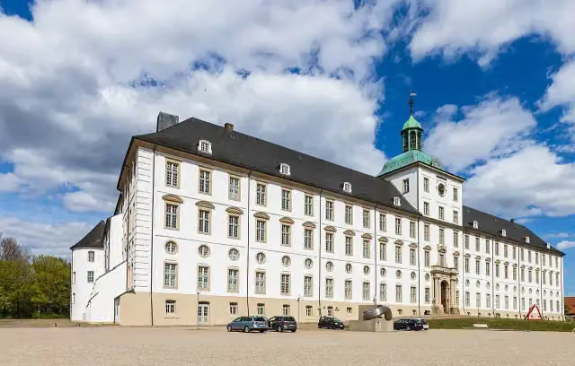 Gottorf CastleCastle · 227 m from the route
- 2
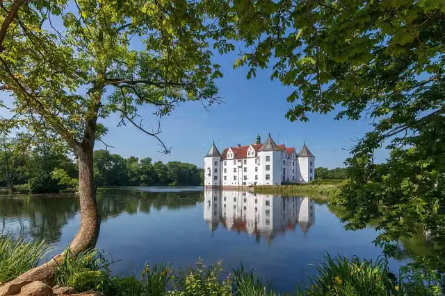 Schloss GlücksburgMuseum · 8.2 km from the route
- 3
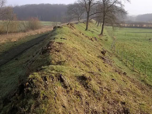 DanewerkArchaeological site · 1.4 km from the route
- 4
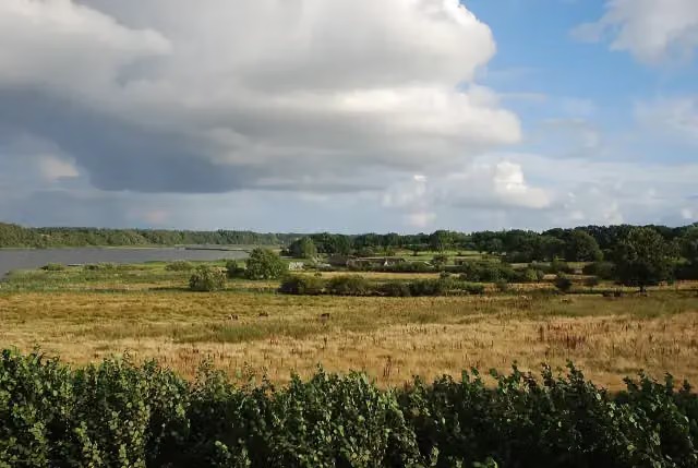 HedebyArchaeological site · 1.7 km from the route
- 5
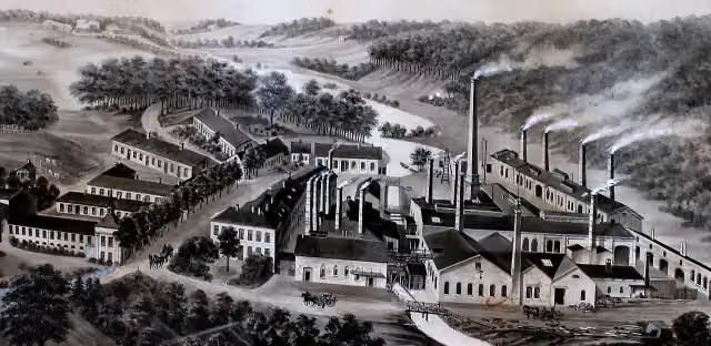 Industrial museum copper millMuseum · 2.1 km from the route
- 6
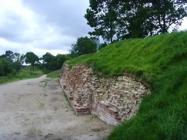 DanewerkArchaeological site · 201 m from the route
- 7
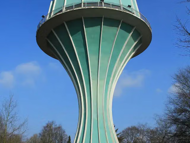 Wasserturm Flensburg-MürwikViewpoint · 877 m from the route
- 8
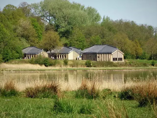 Wikinger-Museum HaithabuMuseum · 1.7 km from the route
- 9
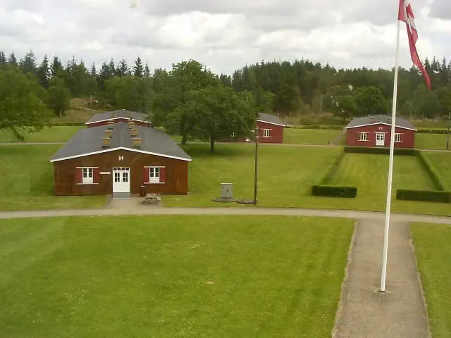 Frøslev CampMuseum · 3.2 km from the route
- 10
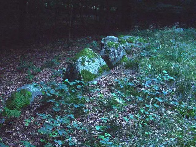 PinnesgrabArchaeological site · 8.2 km from the route
- 11
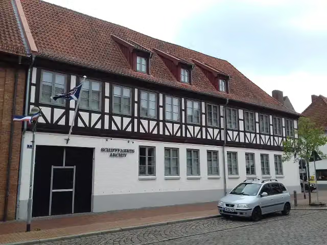 Rendsburger SchifffahrtsarchivMuseum · 104 m from the route
- 12
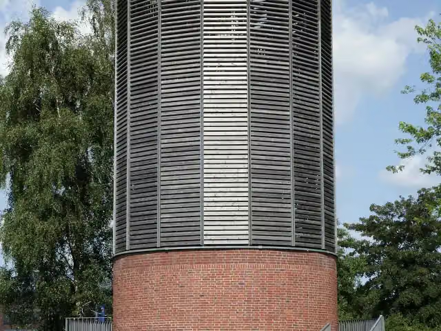 Aussichtsturm SchleswigObservation tower · 147 m from the route
- 13
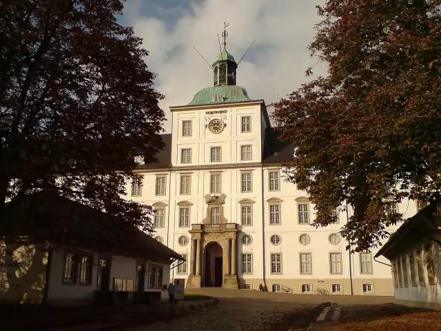 Landesmuseum Schleswig-HolsteinMuseum · 206 m from the route
- 14
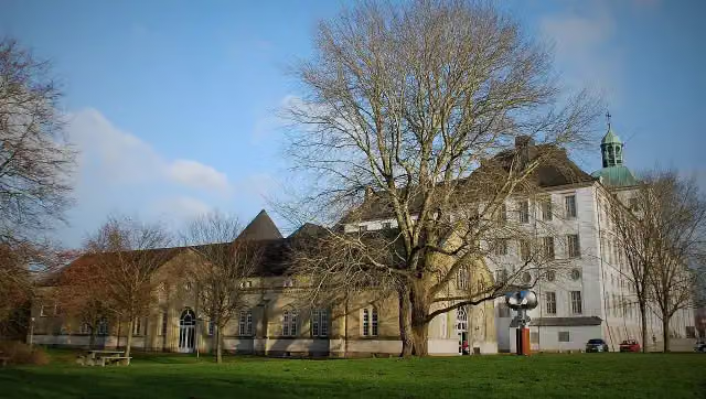 NydamhalleMuseum · 266 m from the route
- 15
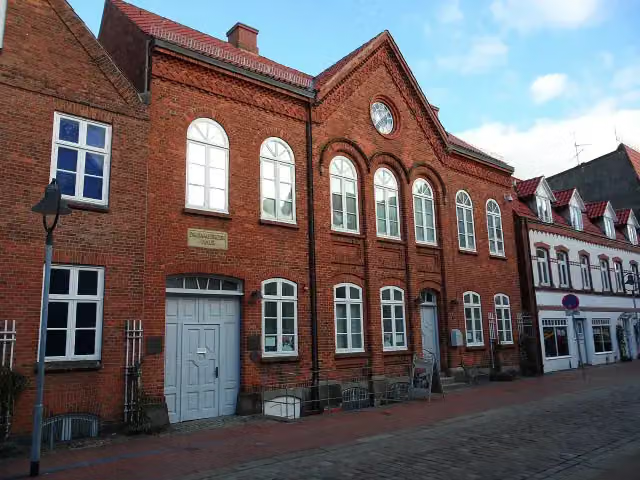 Jüdisches MuseumMuseum · 289 m from the route
- 16
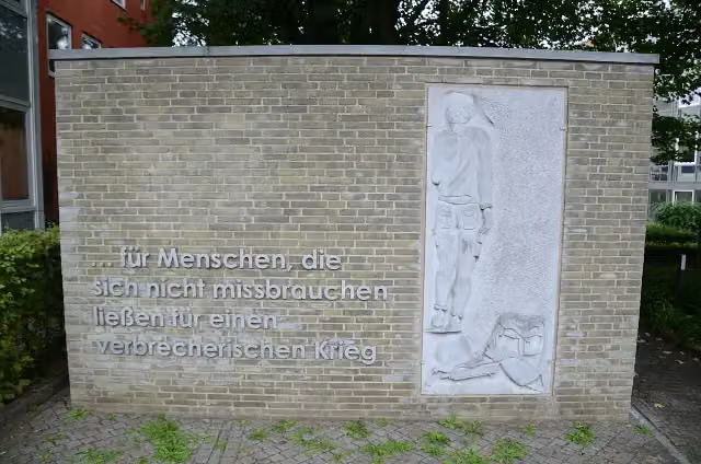 DeserteurdenkmalMemorial · 299 m from the route
- 17
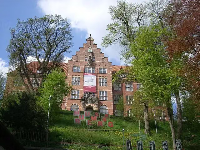 Museumsberg FlensburgMuseum · 383 m from the route
- 18
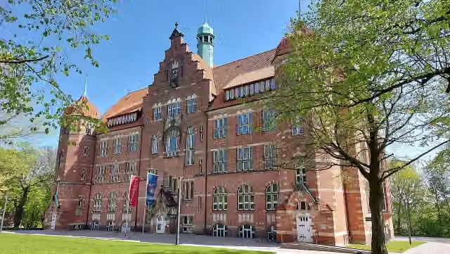 Naturwissenschaftliches Museum FlensburgMuseum · 387 m from the route
- 19
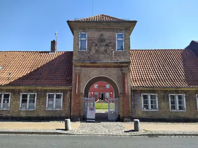 Stadtmuseum SchleswigMuseum · 405 m from the route
- 20
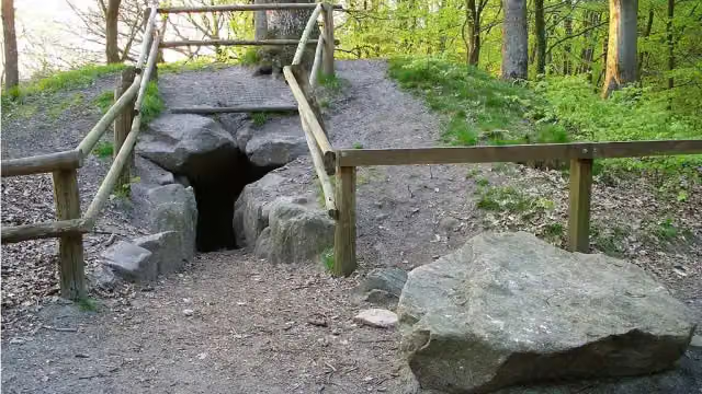 Idstedter RäuberhöhleArchaeological site · 460 m from the route
- 21
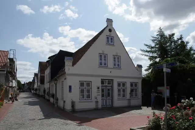 Holm-MuseumMuseum · 485 m from the route
- 22
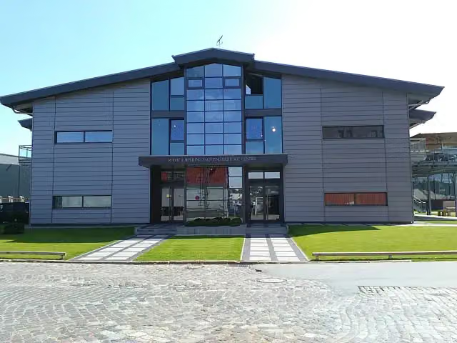 Yachting Heritage Centre - Robbe & Berking MuseumMuseum · 600 m from the route
- 23
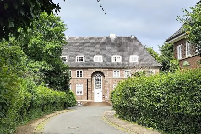 ElektromuseumMuseum · 645 m from the route
- 24
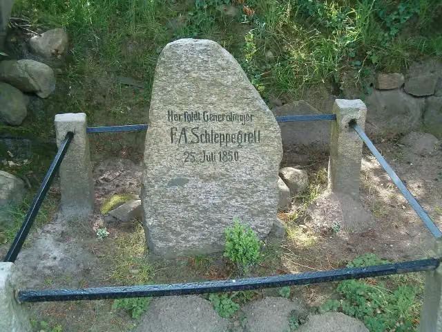 F.A. SchleppegrellMemorial · 665 m from the route
- 25
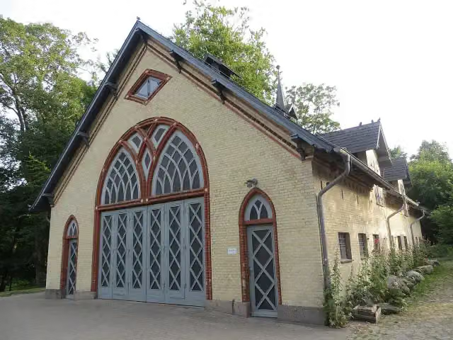 EiszeithausMuseum · 668 m from the route
Explore more
More cycle routes around Jevenstedt
Frequently asked questions
How long is Ochsenweg?
Ochsenweg is 103.9 km long. Allow ± 6:55 h of riding: 15 km an hour, without breaks.
Is this route a circular ride?
No, the route runs from Jevenstedt to Niehuus.
Where does this route start?
The route starts in Jevenstedt.
How hard is this route?
Hard, with 305 m of climbing.
Are there toilets along this route?
Yes, there are 11 public toilets within 100 m of the route. The longest stretch without a toilet is 35.3 km.
Can you fill up with water along this route?
No, there is no water point within 100 m of the route. Bring enough water.
What is there to see along this route?
Along the way you pass Regimentsdenkmal, Kograben and Danevirke Museum.
Can I download this route as a GPX file?
Yes. Sign in with your Outdoor Pitstop account and choose Download GPX at the top of this page: 10 routes a month for free, unlimited with Pro.
Starting point
More routes from this place
Route data © OpenStreetMap contributors





