 Outdoor Pitstop
Cycle route · Rheda-Wiedenbrück · Updated on 14 November 2026
EuroVelo 2 - Germany part 2 cycle route
EuroVelo 2 - Germany part 2 is a cycle route of 204.4 km from Rheda-Wiedenbrück. Along the way you'll find 578 benches, 2 water fountains and refill points, 21 public toilets, 6 bike pumps and 3 honesty boxes and farm vending machines.
i
i
i
The route step by step
From start to finish, with what you pass along the way and the distance in between.
- 204.4 km
- ± 13:40 h
- ↑ 920 m · ↓ 886 m
- Hard
- From A to B
- International route
- Colour of the signs
Start in Rheda-Wiedenbrück
0 km355 m · 3 benches
Bike pump
355 m1.4 km · 10 benches
Public toilet
1.7 km1.3 km · 18 benches
Public toilet
3 km9.7 km · 18 benches
Public toilet
12.7 km1.3 km · 13 benches
Public toilet
14 km528 m · bench
2 public toilets
14.5 km880 m · 3 benches
Public toilet
15.4 km1.5 km · 4 benches
Public toilet
16.8 km10.5 km · 14 benches
Public toilet
27.3 km535 m · 5 benches

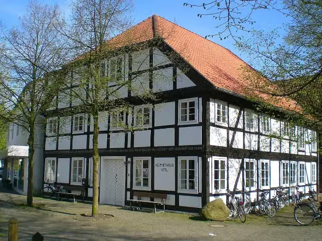
Heimathaus
27.8 kmMuseum
7.1 km · 11 benches
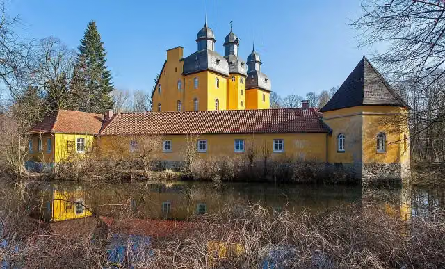
Schloss Holte
35 kmCastle
7.2 km · 3 benches
Public toilet
42.1 km4.6 km · 24 benches
Public toilet
46.8 km688 m · 29 benches
Public toilet
47.5 km3.8 km · 5 benches
Honesty box
51.3 km3.2 km · 5 benches
Bike pump
54.4 km1.6 km · 5 benches
Public toilet
56 km6.3 km · 12 benches
2 public toilets
62.3 km682 m
Public toilet
63 km13 km · 56 benches
Bike pump
76 km4.5 km · 45 benches
Public toilet
80.5 km13.1 km · 43 benches
Honesty box
93.6 km34 km · 62 benches
Bike pump
127.7 km2.9 km · 13 benches
Public toilet and 2 water fountains and refill points
130.5 km4.7 km · 41 benches
Bike pump
135.2 km533 m
Public toilet
135.7 km7.9 km · 24 benches
Bike pump
143.6 km3.2 km · 16 benches
Public toilet
146.8 km8.4 km · 22 benches
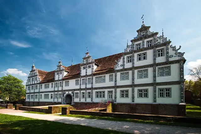
Schloß Bevern
155.1 kmAttraction
Show the other 5 steps
10.6 km · 16 benches
Honesty box
165.7 km681 m · bench
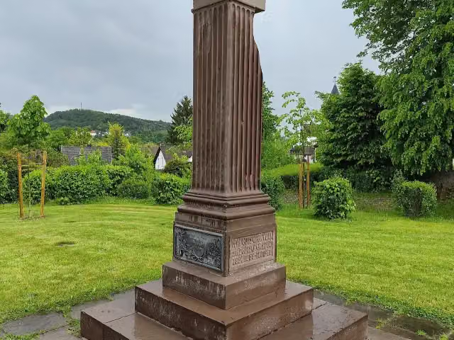
Gefallenendenkmal Einigungskriege
166.4 kmMemorial
4.9 km · 6 benches
Public toilet
171.4 km21.5 km · 35 benches
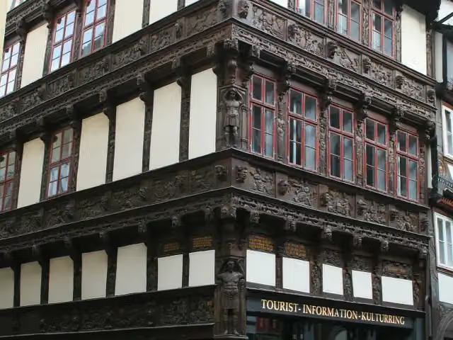
Eickesches Haus
192.9 kmAttraction
11.5 km · 14 benches
Finish
204.4 km
Longest stretch without a toilet: 50 kmBetween 80.5 km and 130.5 km there is no public toilet within 100 m of the route.
The route with the pitstops and sights within 100 m of it.
5 sights along the way
In the order you pass them. With the Outdoor Pitstop app you hear their story on the spot.
i
Photo: C-we · Wikimedia Commons · CC BY-SA 3.0View the photo on Wikimedia CommonsMuseum · after 27.8 km
i
Photo: Grugerio · Wikimedia Commons · CC BY-SA 3.0View the photo on Wikimedia CommonsCastle · after 35 km
i
Photo: Frank H. aus B. · Wikimedia Commons · CC BY-SA 4.0View the photo on Wikimedia CommonsAttraction · after 155.1 km
i
Photo: Gerd Fahrenhorst · Wikimedia Commons · CC BY 4.0View the photo on Wikimedia CommonsMemorial · after 166.4 km
i
Photo: Dirk Godlinski · Wikimedia Commons · CC BY-SA 3.0View the photo on Wikimedia CommonsAttraction · after 192.9 km
Elevation and terrain
- Up
- ↑ 920 m
- Down
- ↓ 886 m
- Highest point
- 313 m
- Lowest point
- 73 m
Nowhere steeper than 5%.
Elevation from Copernicus GLO-30 (European Union and ESA), smoothed.
produced using Copernicus WorldDEM-30 © DLR e.V. 2010-2014 and © Airbus Defence and Space GmbH 2014-2018 provided under COPERNICUS by the European Union and ESA; all rights reserved
Way types
204.4 km in total- Path: 57.7 km
- Track: 51 km
- Street: 45.4 km
- Road: 34.5 km
- Busy road: 12.9 km
- Footpath (walk your bike): 2.5 km
- Cycle path: 75 m
Surfaces
204.4 km in total- Asphalt: 159.8 km
- Gravel: 23.1 km
- Paved: 19.3 km
- Natural: 375 m
- Unknown: 1.3 km
About the cycle route EuroVelo 2 - Germany part 2
Updated on 14 November 2026, with data from OpenStreetMap, the AHN and Copernicus.
Where do you cycle?
EuroVelo 2 - Germany part 2 is a cycle route of 204.4 km that starts in Rheda-Wiedenbrück. It does not end where it starts. Along the way you pass Heimathaus (after 27.8 km), Schloss Holte (after 35 km) and Schloß Bevern (after 155.1 km).
How hard is the route?
You climb 920 m in total and descend 886 m. Allow ± 13:40 h, without breaks. The level is hard.
What roads do you cycle on?
The longest part is path (57.7 km), track (51 km) and street (45.4 km). Of the surface, 159.8 km asphalt and 23.1 km gravel. For 1.3 km the surface is not known.
Pitstops along the way
Within 100 metres of the route there are 578 benches, 2 water fountains and refill points, 21 public toilets, 6 bike pumps and 3 honesty boxes and farm vending machines. You can fill your bottle after 130.5 km and after 130.6 km. The longest stretch without a toilet is 50 km. The Outdoor Pitstop app navigates you there.
Part of EuroVelo 2 - Hauptstadt-Route - Teil Deutschland
Website of the routeCycle routes nearby
6Sights nearby
Within 10 km of the route, best known first.
- 1
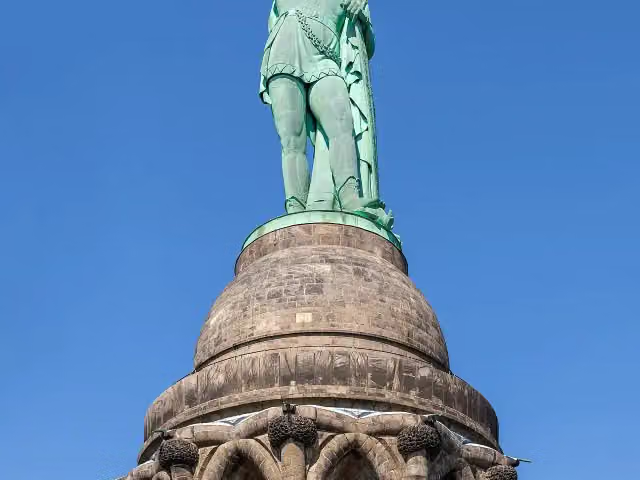 Hermann MemorialAttraction · 1.7 km from the route
- 2
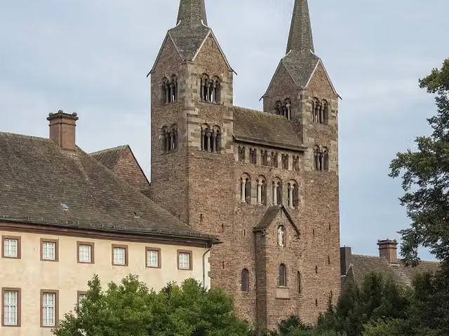 Abteikirche St. Stephanus und VitusAttraction · 139 m from the route
- 3
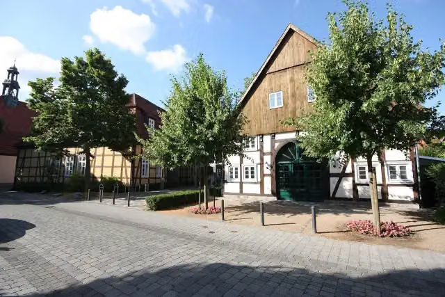 Kunsthaus Rietberg - Museum Wilfried KochMuseum · 113 m from the route
- 4
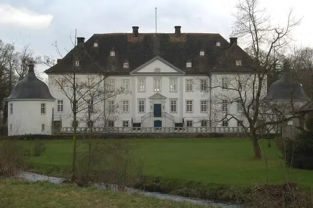 Wasserschloß VinsebeckCastle · 119 m from the route
- 5
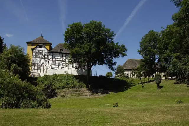 TonenburgCastle · 137 m from the route
- 6
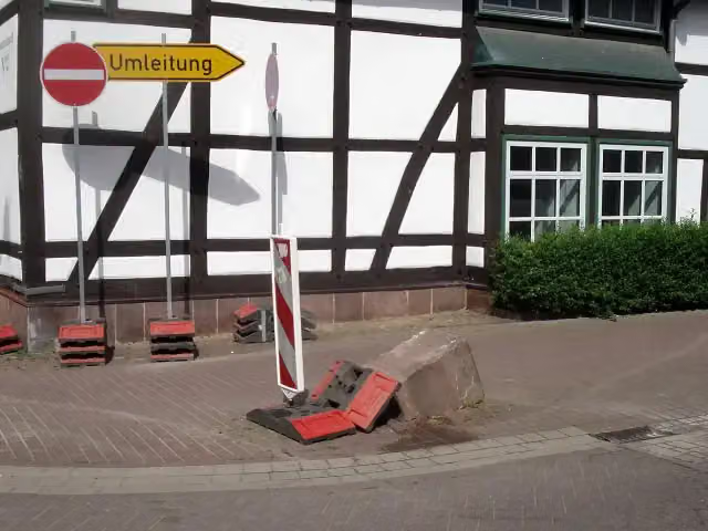 Der UmfahrsteinMemorial · 146 m from the route
- 7
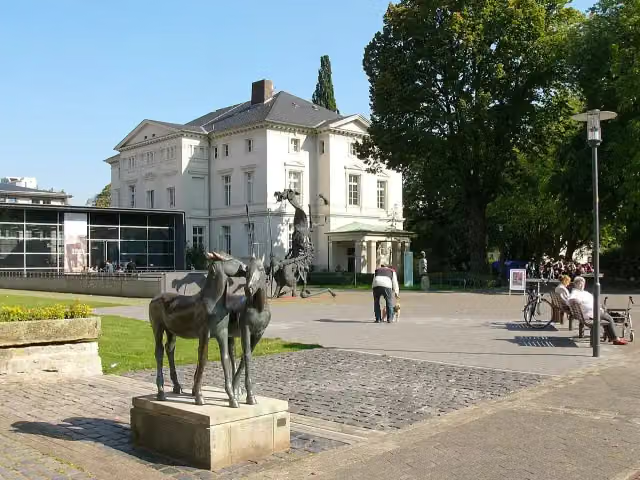 Lippisches LandesmuseumMuseum · 161 m from the route
- 8
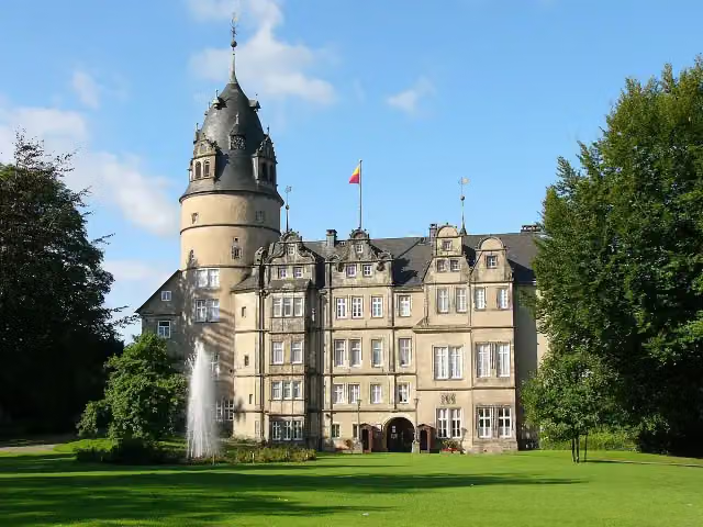 Fürstliches Residenzschloss DetmoldAttraction · 162 m from the route
- 9
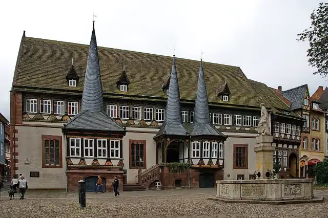 Altes RathausAttraction · 169 m from the route
- 10
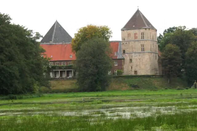 Schloss RhedaCastle · 220 m from the route
- 11
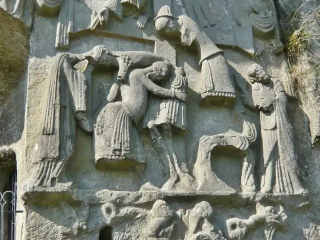 KreuzabnahmereliefMemorial · 227 m from the route
- 12
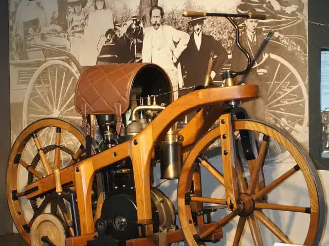 PS.SPEICHERMuseum · 270 m from the route
- 13
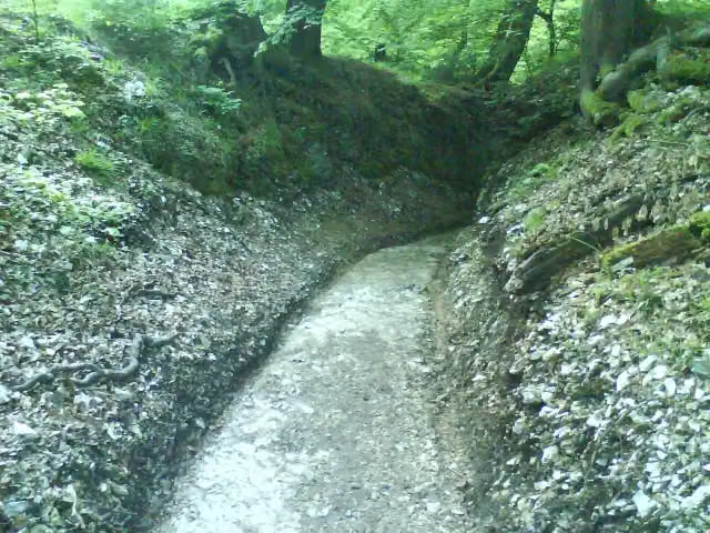 RömerwegArchaeological site · 273 m from the route
- 14
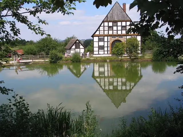 LWL-Freilichtmuseum Detmold - Westfälisches Landesmuseum für VolkskundeMuseum · 353 m from the route
- 15
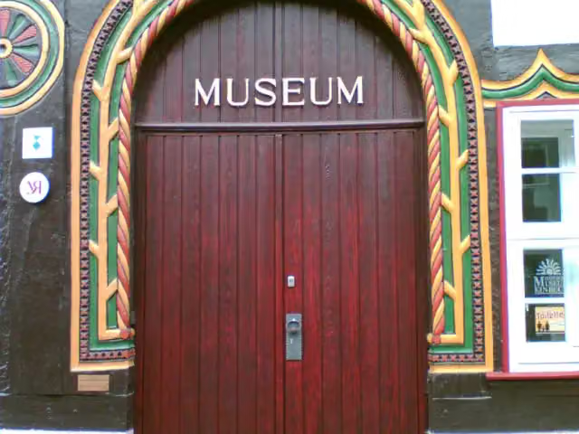 Stadtmuseum Einbeck – FahrradmuseumMuseum · 390 m from the route
- 16
 Flying TigerAttraction · 593 m from the route
- 17
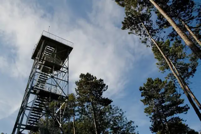 KellbergturmObservation tower · 680 m from the route
- 18
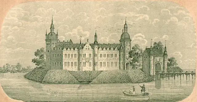 Schloss RietbergArchaeological site · 869 m from the route
- 19
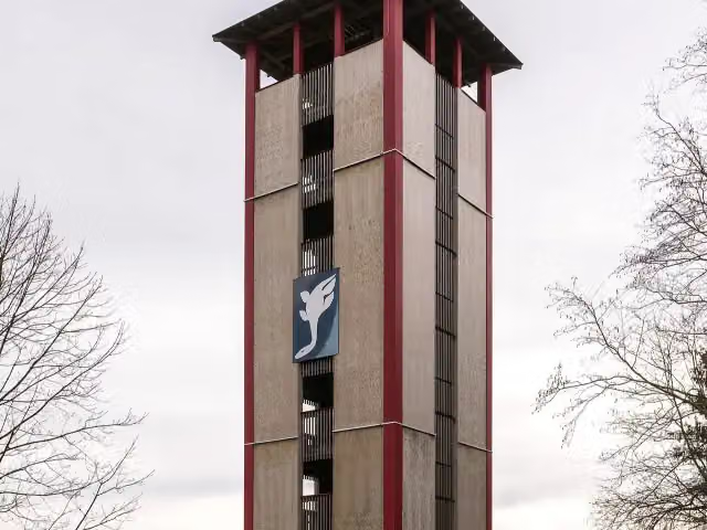 LattbergturmObservation tower · 931 m from the route
- 20
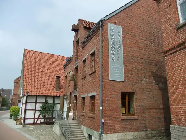 SackmuseumMuseum · 985 m from the route
- 21
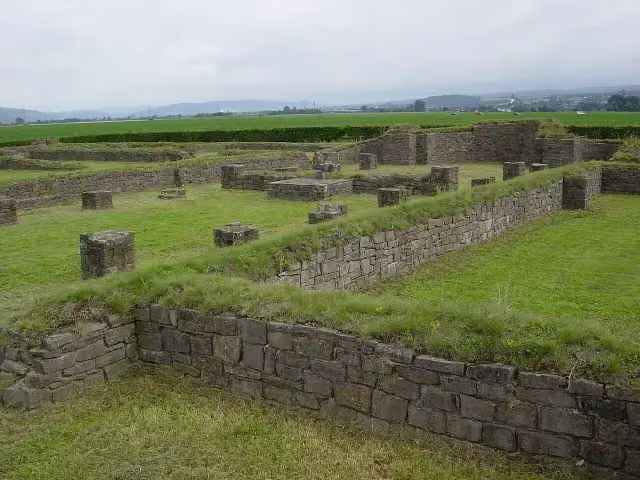 Klosterruine tom RodenArchaeological site · 1 km from the route
- 22
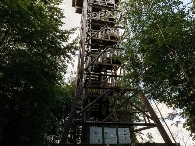 Aussichtsturm HungerbergObservation tower · 1 km from the route
- 23
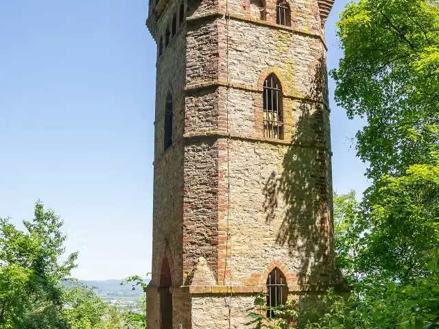 RodeneckturmObservation tower · 1 km from the route
- 24
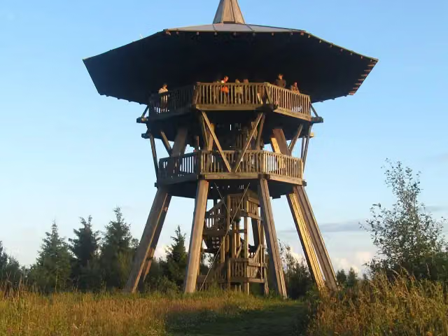 EggeturmObservation tower · 1.2 km from the route
- 25
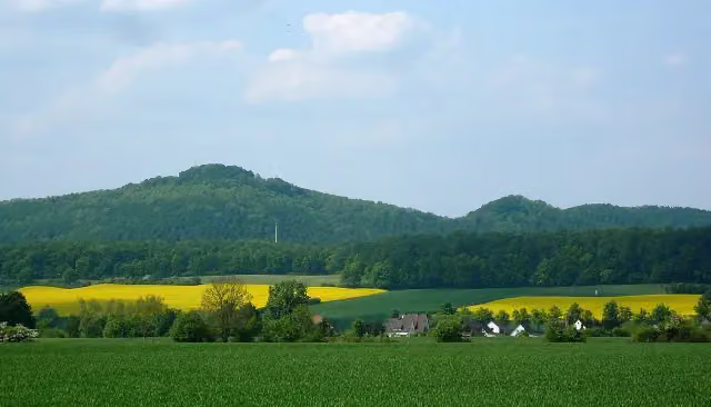 Burg EversteinArchaeological site · 1.4 km from the route
Explore more
More cycle routes around Rheda-Wiedenbrück
Frequently asked questions
How long is EuroVelo 2 - Germany part 2?
EuroVelo 2 - Germany part 2 is 204.4 km long. Allow ± 13:40 h of riding: 15 km an hour, without breaks.
Is this route a circular ride?
No, the route starts and ends at different spots.
Where does this route start?
The route starts in Rheda-Wiedenbrück.
How hard is this route?
Hard, with 920 m of climbing.
Are there toilets along this route?
Yes, there are 21 public toilets within 100 m of the route. The longest stretch without a toilet is 50 km.
Can you fill up with water along this route?
Yes, there are 2 water fountains and refill points within 100 m of the route.
What is there to see along this route?
Along the way you pass Heimathaus, Schloss Holte and Schloß Bevern.
Can I download this route as a GPX file?
Yes. Sign in with your Outdoor Pitstop account and choose Download GPX at the top of this page: 10 routes a month for free, unlimited with Pro.
Starting point
More routes from this place
Route data © OpenStreetMap contributors





