 Outdoor Pitstop
Cycle route · Rheda-Wiedenbrück · Updated on 14 November 2026
D-Netz Route 3 cycle route
D-Netz Route 3 is a cycle route of 75.6 km from Rheda-Wiedenbrück. Along the way you'll find 238 benches, 16 public toilets, 2 bike pumps and 1 honesty box.
i
i
i
The route step by step
From start to finish, with what you pass along the way and the distance in between.
- 75.6 km
- ± 5:00 h
- ↑ 209 m · ↓ 150 m
- Hard
- From A to B
- National route
Start in Rheda-Wiedenbrück
0 km355 m · 3 benches
Bike pump
355 m1.4 km · 10 benches
Public toilet
1.7 km1.3 km · 18 benches
Public toilet
3 km9.7 km · 18 benches
Public toilet
12.7 km1.3 km · 13 benches
Public toilet
14 km527 m · bench
2 public toilets
14.5 km881 m · 3 benches
Public toilet
15.4 km1.5 km · 4 benches
Public toilet
16.8 km10.5 km · 14 benches
Public toilet
27.3 km535 m · 5 benches

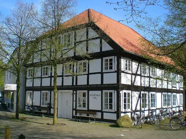
Heimathaus
27.8 kmMuseum
7.1 km · 11 benches
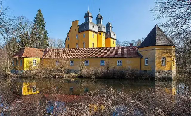
Schloss Holte
35 kmCastle
7.2 km · 3 benches
Public toilet
42.2 km4.6 km · 24 benches
Public toilet
46.8 km689 m · 29 benches
Public toilet
47.5 km3.8 km · 5 benches
Honesty box
51.3 km3.2 km · 5 benches
Bike pump
54.4 km1.6 km · 5 benches
Public toilet
56 km6.3 km · 12 benches
2 public toilets
62.3 km683 m
Public toilet
63 km12.6 km · 54 benches
Finish
75.6 km
Longest stretch without a toilet: 14.8 kmBetween 27.3 km and 42.2 km there is no public toilet within 100 m of the route.
The route with the pitstops and sights within 100 m of it.
2 sights along the way
In the order you pass them. With the Outdoor Pitstop app you hear their story on the spot.
i
Photo: C-we · Wikimedia Commons · CC BY-SA 3.0View the photo on Wikimedia CommonsMuseum · after 27.8 km
i
Photo: Grugerio · Wikimedia Commons · CC BY-SA 3.0View the photo on Wikimedia CommonsCastle · after 35 km
Elevation and terrain
- Up
- ↑ 209 m
- Down
- ↓ 150 m
- Highest point
- 216 m
- Lowest point
- 73 m
Nowhere steeper than 5%.
Elevation from Copernicus GLO-30 (European Union and ESA), smoothed.
produced using Copernicus WorldDEM-30 © DLR e.V. 2010-2014 and © Airbus Defence and Space GmbH 2014-2018 provided under COPERNICUS by the European Union and ESA; all rights reserved
Way types
75.6 km in total- Path: 21.9 km
- Street: 21.4 km
- Road: 19.8 km
- Track: 10 km
- Footpath (walk your bike): 1.3 km
- Busy road: 1.1 km
- Cycle path: 25 m
Surfaces
75.6 km in total- Asphalt: 50.9 km
- Gravel: 15.4 km
- Paved: 8.2 km
- Natural: 375 m
- Unknown: 625 m
About the cycle route D-Netz Route 3
Updated on 14 November 2026, with data from OpenStreetMap, the AHN and Copernicus.
Where do you cycle?
D-Netz Route 3 is a cycle route of 75.6 km that starts in Rheda-Wiedenbrück. It does not end where it starts. You start in Rheda-Wiedenbrück and finish in Detmold. Along the way you pass Heimathaus (after 27.8 km) and Schloss Holte (after 35 km).
How hard is the route?
You climb 209 m in total and descend 150 m. Allow ± 5:00 h, without breaks. The level is hard.
What roads do you cycle on?
The longest part is path (21.9 km), street (21.4 km) and road (19.8 km). Of the surface, 50.9 km asphalt and 15.4 km gravel. For 625 m the surface is not known.
Pitstops along the way
Within 100 metres of the route there are 238 benches, 16 public toilets, 2 bike pumps and 1 honesty box. The longest stretch without a toilet is 14.8 km. The Outdoor Pitstop app navigates you there.
Part of Europaroute (D-Route 3)
Cycle routes nearby
6- Werse Radweg HauptrouteHard · From A to B107 km
- EmsRadwegHard · From A to B381 km
- Historische Stadtkerne - Etappe 1 (Warendorf - Rietberg)Moderate · From A to B47.8 km
- EuroVelo 2 - Germany part 1Hard · From A to B201.3 km
- D-Netz Route 3Hard · From A to B75 km
- Europaradweg R1 - Abschnitt Deutschland Teil 2Hard · From A to B204.4 km
Sights nearby
Within 10 km of the route, best known first.
- 1
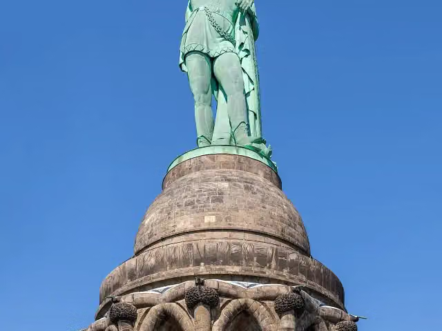 Hermann MemorialAttraction · 3.4 km from the route
- 2
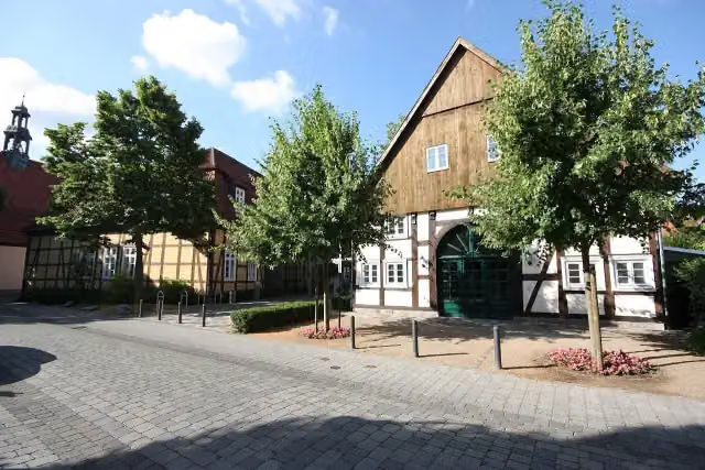 Kunsthaus Rietberg - Museum Wilfried KochMuseum · 113 m from the route
- 3
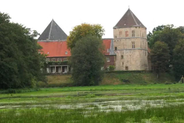 Schloss RhedaCastle · 220 m from the route
- 4
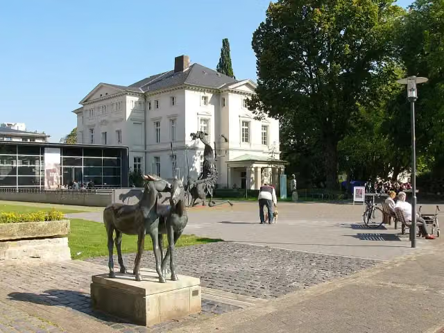 Lippisches LandesmuseumMuseum · 288 m from the route
- 5
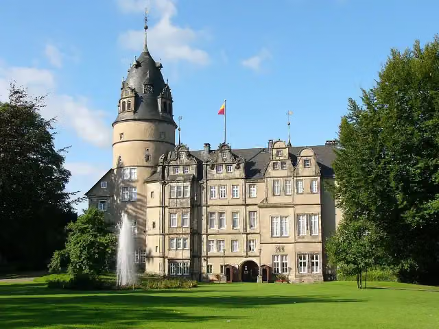 Fürstliches Residenzschloss DetmoldAttraction · 413 m from the route
- 6
 Flying TigerAttraction · 593 m from the route
- 7
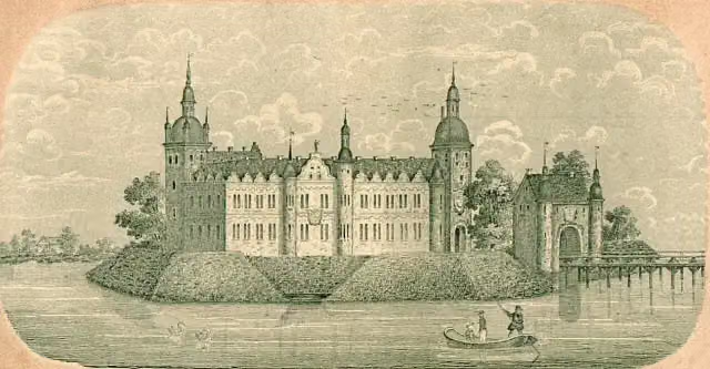 Schloss RietbergArchaeological site · 869 m from the route
- 8
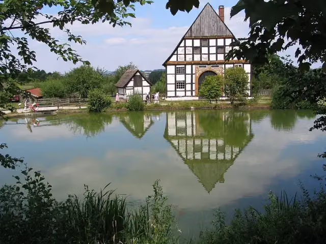 LWL-Freilichtmuseum Detmold - Westfälisches Landesmuseum für VolkskundeMuseum · 1.7 km from the route
- 9
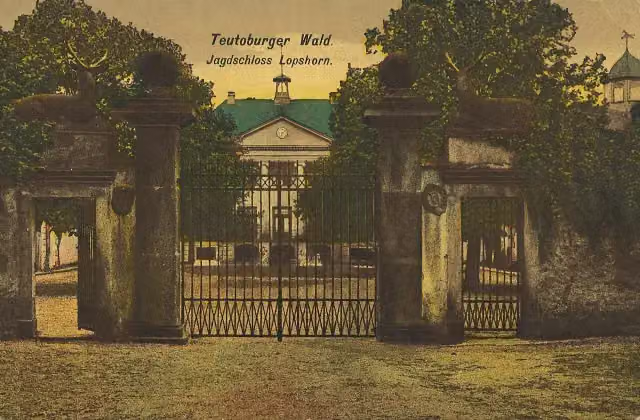 Ruine Jagdschloss LopshornArchaeological site · 2.5 km from the route
- 10
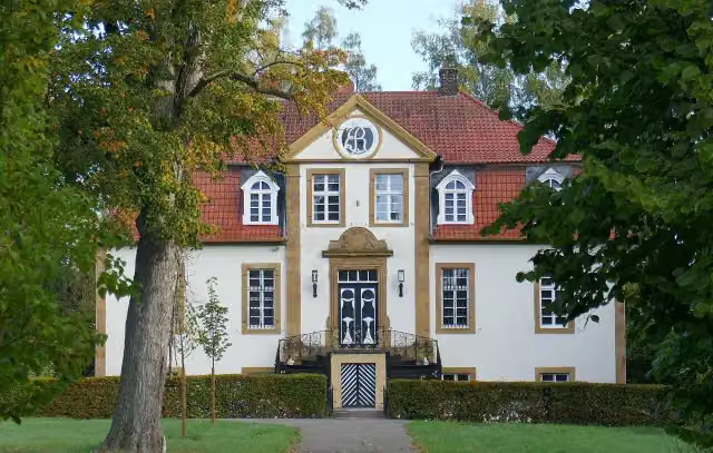 Haus BosfeldCastle · 2.9 km from the route
- 11
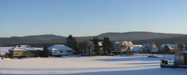 GrotenburgAttraction · 3.3 km from the route
- 12
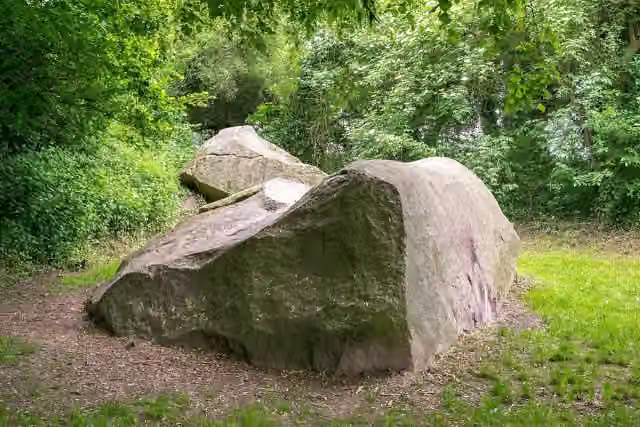 JohannissteineArchaeological site · 3.8 km from the route
- 13
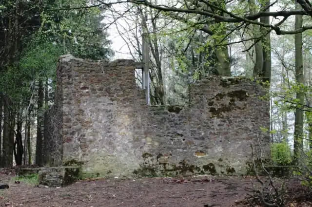 HünenkapelleArchaeological site · 5 km from the route
- 14
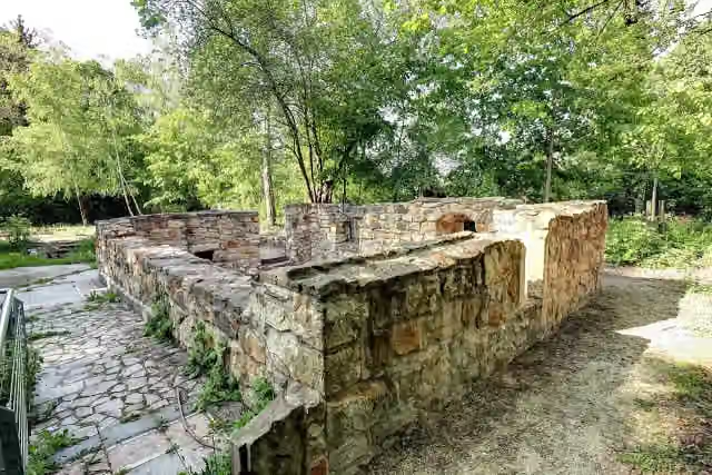 Alte BurgArchaeological site · 5.1 km from the route
- 15
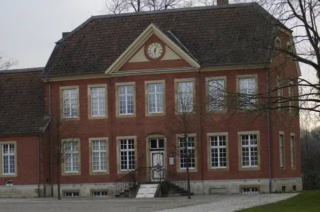 Museum für westfälische Literatur (Haus Nottbeck)Museum · 5.5 km from the route
- 16
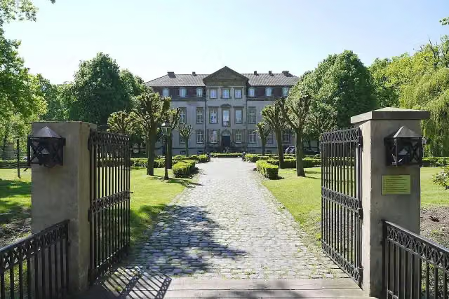 Schloss MöhlerCastle · 5.7 km from the route
- 17
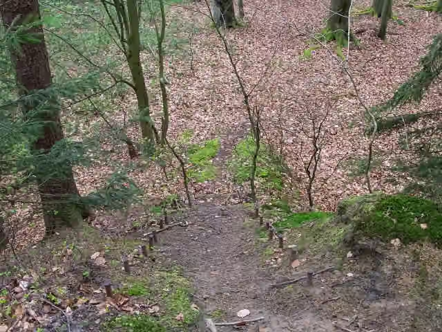 Großer Opferstein im Leistruper WaldAttraction · 6.3 km from the route
- 18
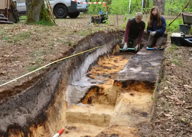 RömerlagerArchaeological site · 6.4 km from the route
- 19
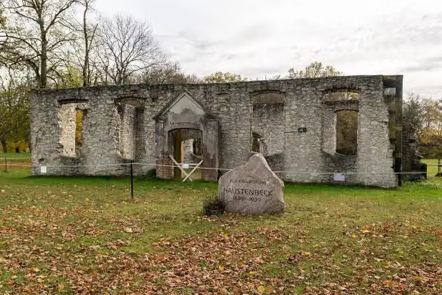 Kirchenruine HaustenbeckRuins · 6.8 km from the route
- 20
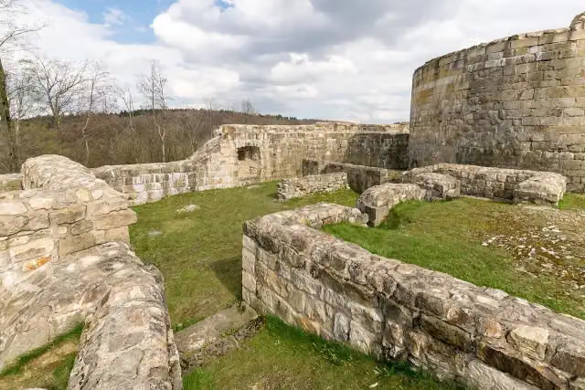 FalkenburgArchaeological site · 6.9 km from the route
- 21
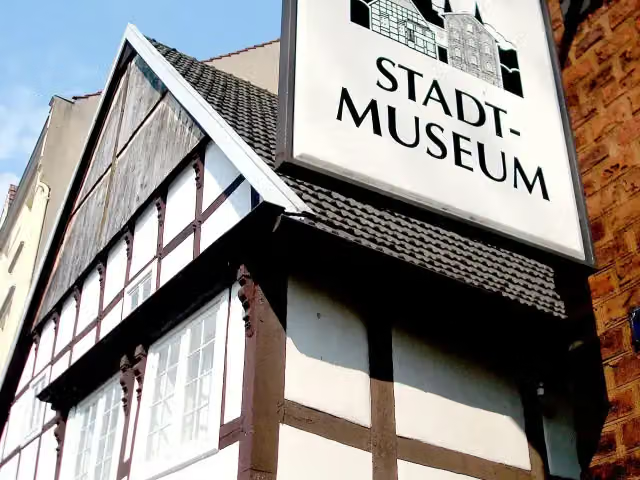 StadtmuseumMuseum · 7.4 km from the route
- 22
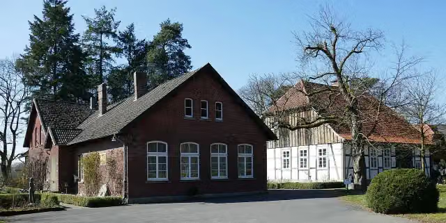 Museum OsthusschuleMuseum · 7.6 km from the route
- 23
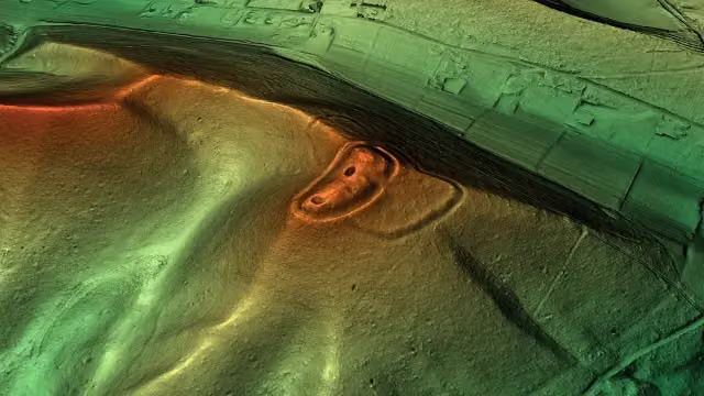 HünensautAttraction · 7.7 km from the route
- 24
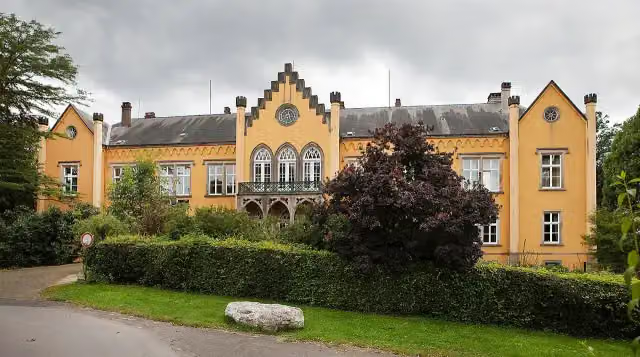 Schloss IggenhausenAttraction · 8 km from the route
- 25
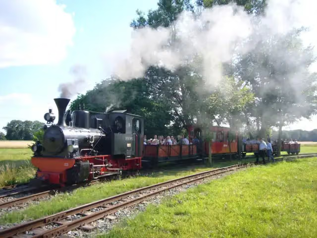 Dampfkleinbahn MühlenstrothMuseum · 8.2 km from the route
Explore more
More cycle routes around Rheda-Wiedenbrück
Frequently asked questions
How long is D-Netz Route 3?
D-Netz Route 3 is 75.6 km long. Allow ± 5:00 h of riding: 15 km an hour, without breaks.
Is this route a circular ride?
No, the route runs from Rheda-Wiedenbrück to Detmold.
Where does this route start?
The route starts in Rheda-Wiedenbrück.
How hard is this route?
Hard, with 209 m of climbing.
Are there toilets along this route?
Yes, there are 16 public toilets within 100 m of the route. The longest stretch without a toilet is 14.8 km.
Can you fill up with water along this route?
No, there is no water point within 100 m of the route. Bring enough water.
What is there to see along this route?
Along the way you pass Heimathaus and Schloss Holte.
Can I download this route as a GPX file?
Yes. Sign in with your Outdoor Pitstop account and choose Download GPX at the top of this page: 10 routes a month for free, unlimited with Pro.
Starting point
More routes from this place
Route data © OpenStreetMap contributors





