 Outdoor Pitstop
Cycle route · Stralsund · Updated on 14 November 2026
EuroVelo 13 - Iron Curtain Trail - part 2 cycle route
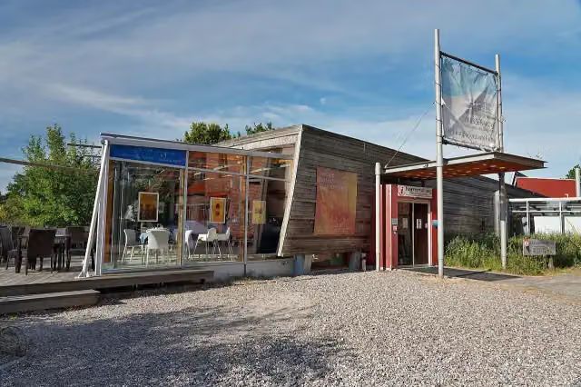
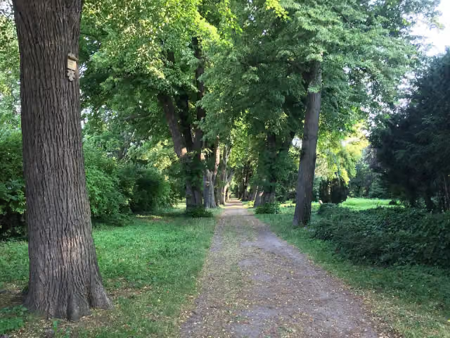
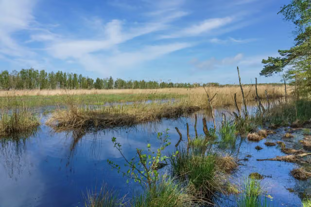
EuroVelo 13 - Iron Curtain Trail - part 2 is a cycle route of 113.1 km from Stralsund. Along the way you'll find 376 benches, 5 water fountains and refill points, 43 public toilets and 2 bike pumps.
i
i
i
The route step by step
From start to finish, with what you pass along the way and the distance in between.
- 113.1 km
- ± 7:35 h
- ↑ 135 m · ↓ 131 m
- Hard
- From A to B
- International route
- Colour of the signs
Start in Stralsund
0 kmAt the start: 2 public toilets.
13.5 km · 48 benches
Bike pump
13.5 km2.7 km · 3 benches

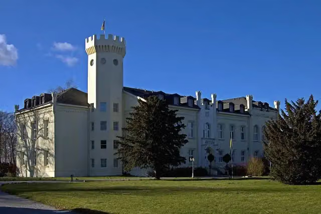
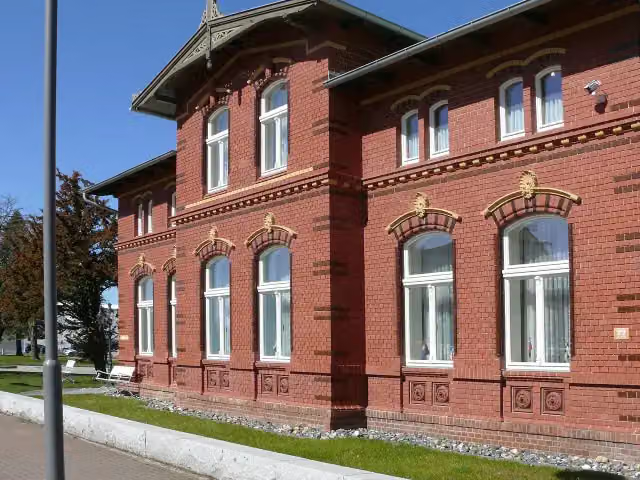
Schloss Hohendorf
16.2 kmCastle
7.7 km · 5 benches
Bike pump
24 km5.3 km · 7 benches
Public toilet
29.3 km11.3 km · 8 benches
Public toilet
40.5 km2.6 km · 25 benches
Public toilet and water point
43.1 km186 m · 14 benches
Windjammer-Museum
43.3 km2 public toilets
167 m · 10 benches
DOK Barth
43.5 kmMuseum
242 m · 7 benches
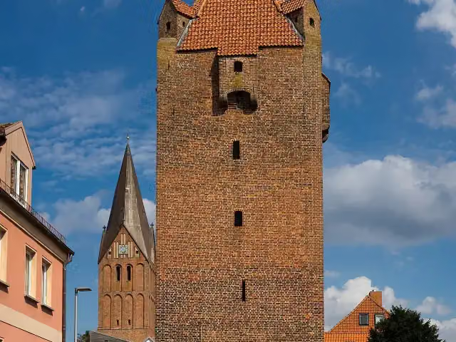
Dammtor
43.7 kmAttraction
12.4 km · 14 benches
2 public toilets
56.1 km325 m · 4 benches
Public toilet
56.4 km361 m · bench
Public toilet
56.8 km4.6 km · 11 benches
Public toilet
61.4 km1.6 km · 14 benches
Public toilet
63 km6.8 km · 15 benches
Public toilet
69.7 km159 m · bench
Darßer Arche
69.9 kmPublic toilet
5.7 km · 7 benches
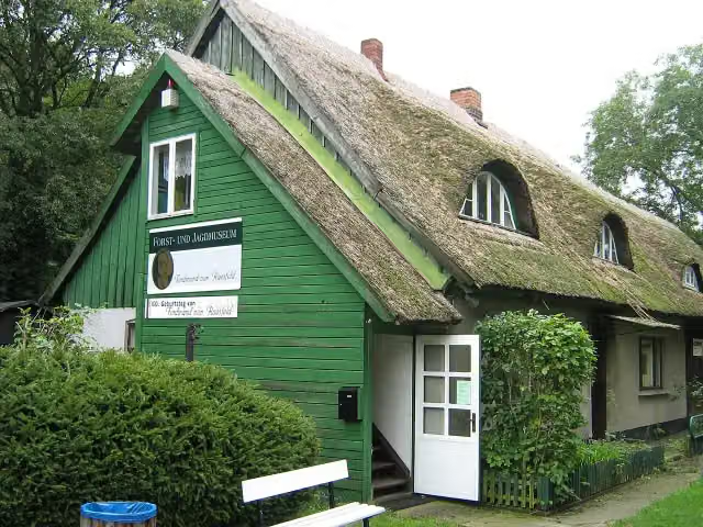
Forst- und Jagdmuseum “Ferdinand von Raesfeld”
75.6 km2 public toilets
520 m · 6 benches
Public toilet
76.1 km2.3 km · 4 benches
Public toilet and water point
78.4 km155 m
Public toilet
78.5 km5.8 km · 21 benches
Public toilet
84.3 km1.5 km · 8 benches
Public toilet
85.8 km1.7 km · 5 benches
Public toilet
87.6 km262 m · 2 benches
Public toilet
87.8 km2.6 km · 3 benches
Public toilet
90.4 km2.6 km · 5 benches
Public toilet
93 km903 m · 3 benches
2 public toilets
93.9 km1.1 km · 7 benches
Public toilet
94.9 km747 m · 11 benches
Public toilet
95.7 km
Show the other 10 steps
2 km · 29 benches
2 public toilets
97.7 km3.5 km · 12 benches
Public toilet and water point
101.2 km819 m · 8 benches
Public toilet
102 km262 m · bench
Public toilet
102.3 km373 m · 4 benches
Public toilet
102.7 km426 m · 3 benches
2 public toilets
103.1 km771 m · 13 benches
Public toilet and water point
103.9 km342 m · 3 benches
Public toilet and water point
104.2 km179 m · 13 benches
3 public toilets
104.4 km8.8 km · 19 benches
Finish
113.1 km
Longest stretch without a toilet: 29.3 kmBetween 0 km and 29.3 km there is no public toilet within 100 m of the route.
The route with the pitstops and sights within 100 m of it.
6 sights along the way
In the order you pass them. With the Outdoor Pitstop app you hear their story on the spot.
i
Photo: Simon Koopmann · Wikimedia Commons · CC BY-SA 2.0 deView the photo on Wikimedia CommonsCastle · after 16.2 km
i
Photo: Linus2017 · Wikimedia Commons · CC BY-SA 4.0View the photo on Wikimedia CommonsMuseum · after 43.4 km

Museum · after 43.5 km
i
Photo: Jörg Braukmann · Wikimedia Commons · CC BY-SA 4.0View the photo on Wikimedia CommonsAttraction · after 43.7 km
i
Photo: Axel Thiessenhusen · Wikimedia Commons · CC BY-SA 4.0View the photo on Wikimedia CommonsMuseum · after 69.9 km
i
Photo: (User:Alma) · Wikimedia Commons · CC BY-SA 3.0View the photo on Wikimedia CommonsMuseum · after 75.7 km
Elevation and terrain
- Up
- ↑ 135 m
- Down
- ↓ 131 m
- Highest point
- 23 m
- Lowest point
- -0 m
- 1 flight of stairs
Elevation from Copernicus GLO-30 (European Union and ESA), smoothed.
produced using Copernicus WorldDEM-30 © DLR e.V. 2010-2014 and © Airbus Defence and Space GmbH 2014-2018 provided under COPERNICUS by the European Union and ESA; all rights reserved
Way types
113.1 km in total- Path: 56 km
- Road: 17.9 km
- Track: 16.8 km
- Street: 14.8 km
- Cycle path: 5.9 km
- Footpath (walk your bike): 1.6 km
- Steps (carry your bike): 1 flight of stairs
Surfaces
113.1 km in total- Asphalt: 64.2 km
- Paved: 22.5 km
- Gravel: 20.7 km
- Unpaved: 4.6 km
- Unknown: 925 m
About the cycle route EuroVelo 13 - Iron Curtain Trail - part 2
Updated on 14 November 2026, with data from OpenStreetMap, the AHN and Copernicus.
Where do you cycle?
EuroVelo 13 - Iron Curtain Trail - part 2 is a cycle route of 113.1 km that starts in Stralsund. It does not end where it starts. Along the way you pass Schloss Hohendorf (after 16.2 km), Windjammer-Museum (after 43.4 km) and DOK Barth (after 43.5 km).
How hard is the route?
You climb 135 m in total and descend 131 m. There is 1 flight of steps along the way. Allow ± 7:35 h, without breaks. The level is hard.
What roads do you cycle on?
The longest part is path (56 km), road (17.9 km) and track (16.8 km). Of the surface, 64.2 km asphalt and 22.5 km paved. For 925 m the surface is not known.
Pitstops along the way
Within 100 metres of the route there are 376 benches, 5 water fountains and refill points, 43 public toilets and 2 bike pumps. You can fill your bottle after 43.1 km, after 78.5 km, after 101.2 km, after 103.9 km and after 104.2 km. The longest stretch without a toilet is 29.3 km. The Outdoor Pitstop app navigates you there.
Part of EuroVelo 13 - Iron Curtain Trail - Inner German part
Website of the routeCycle routes nearby
6- D2 Ostseeküsten-Radweg - Abschnitt MV-NordostHard · From A to B128.8 km
- EV10 Ostseeküsten-Radweg - Abschnitt Deutschland MV-NordHard · From A to B115.7 km
- Radweg Hamburg-RügenHard · From A to B422.9 km
- D2 Ostseeküsten-Radweg - Abschnitt MV-NordHard · From A to B112.7 km
- EuroVelo 13 - Iron Curtain Trail - part 1Hard · From A to B142.4 km
- EV10 Ostseeküsten-Radweg - Abschnitt Deutschland Rügen-NordHard · From A to B139.5 km
Sights nearby
Within 10 km of the route, best known first.
- 1
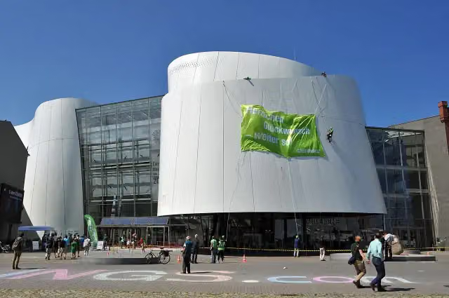 OzeaneumMuseum · 1 km from the route
- 2
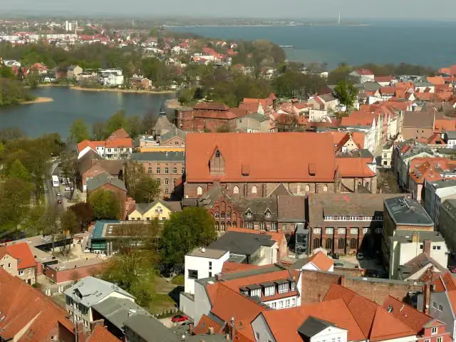 Maritime MuseumMuseum · 464 m from the route
- 3
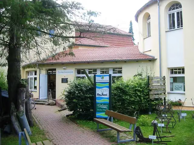 HeimatmuseumMuseum · 233 m from the route
- 4
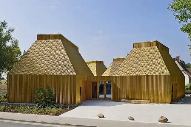 Kunstmuseum AhrenshoopMuseum · 319 m from the route
- 5
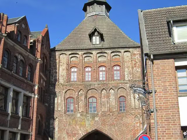 KütertorAttraction · 403 m from the route
- 6
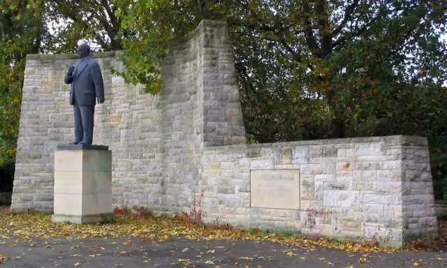 Ernst-Thälmann-DenkmalMemorial · 420 m from the route
- 7
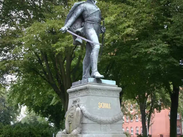 Schill-DenkmalMemorial · 436 m from the route
- 8
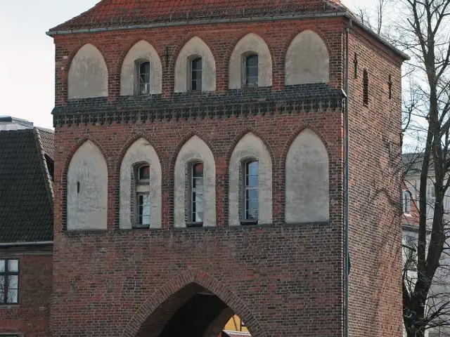 KniepertorAttraction · 534 m from the route
- 9
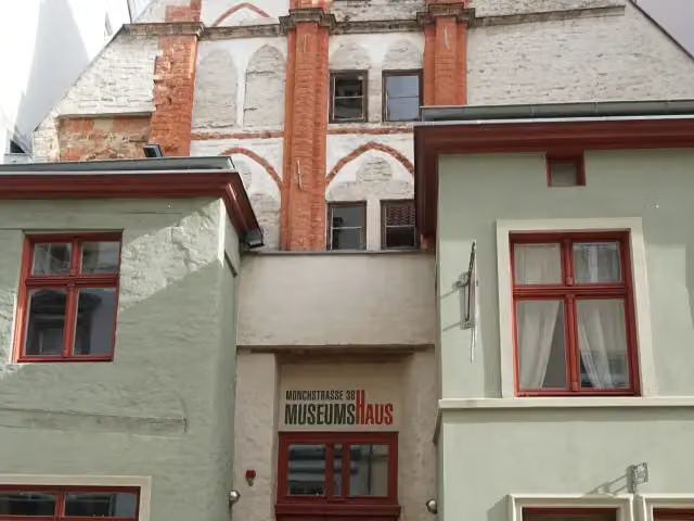 MuseumshausMuseum · 590 m from the route
- 10
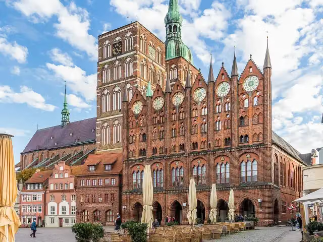 Altes RathausAttraction · 618 m from the route
- 11
 SchwedenschanzeFort · 678 m from the route
- 12
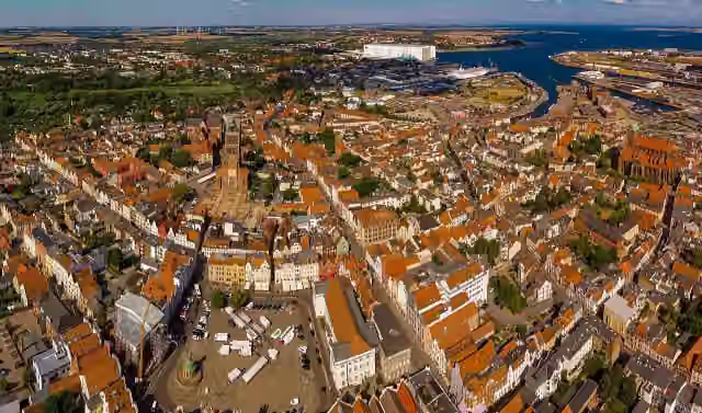 UNESCO World Heritage: Historic Centre of StralsundAttraction · 741 m from the route
- 13
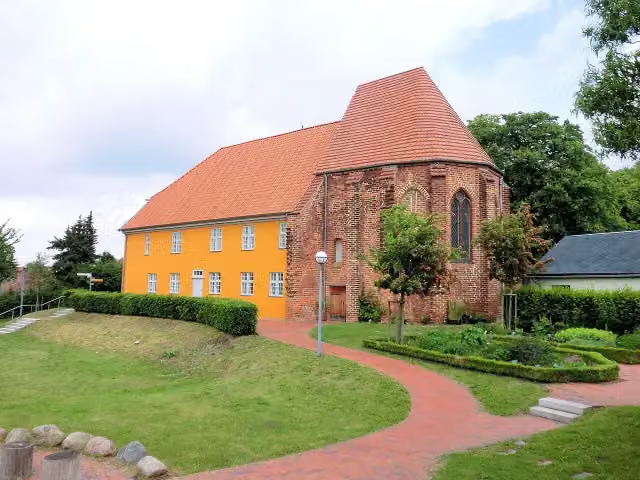 Bibelzentrum BarthMuseum · 746 m from the route
- 14
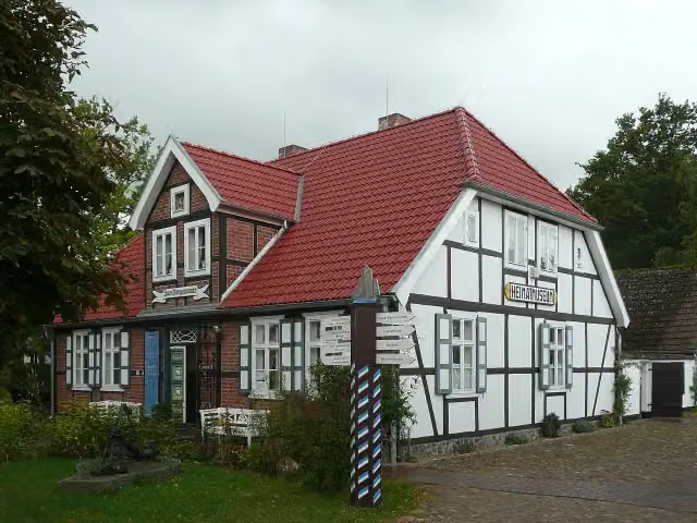 HeimatmuseumMuseum · 811 m from the route
- 15
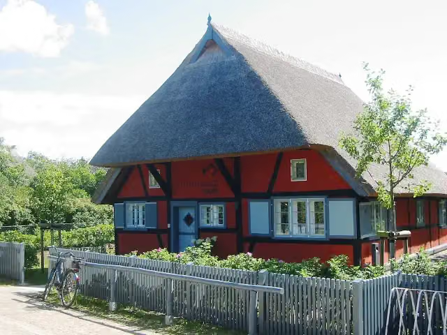 FischlandhausMuseum · 853 m from the route
- 16
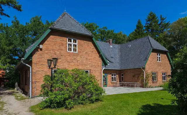 Darß-MuseumMuseum · 995 m from the route
- 17
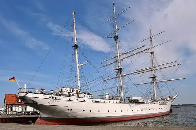 Gorch Fock IAttraction · 1.1 km from the route
- 18
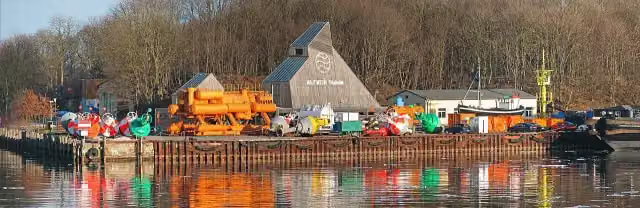 Nautineum StralsundMuseum · 2.6 km from the route
- 19
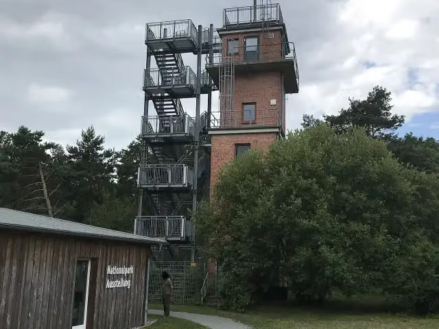 Aussichtsturm BarhöftObservation tower · 3.6 km from the route
- 20
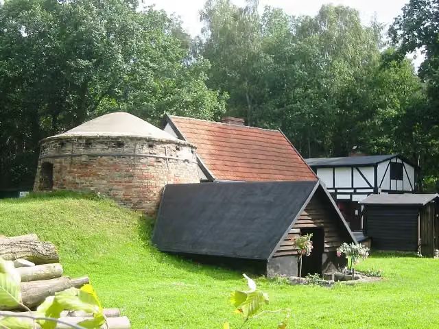 Forst- und Köhlerhof WiethagenMuseum · 4 km from the route
- 21
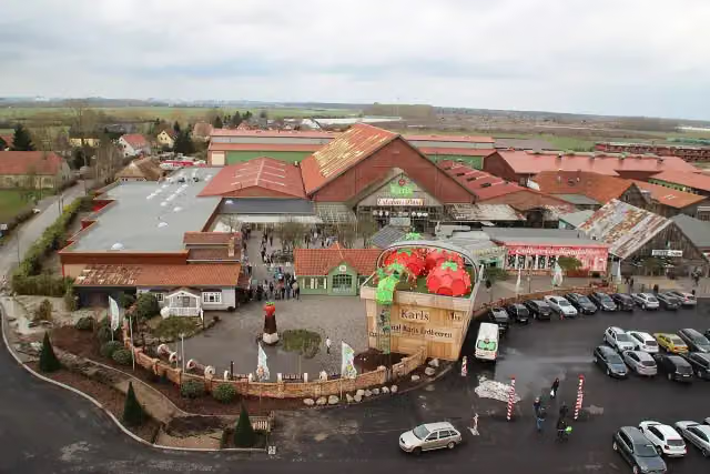 Karls Erlebnis-DorfAttraction · 4.6 km from the route
- 22
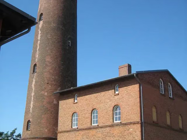 NatureumMuseum · 5.4 km from the route
- 23
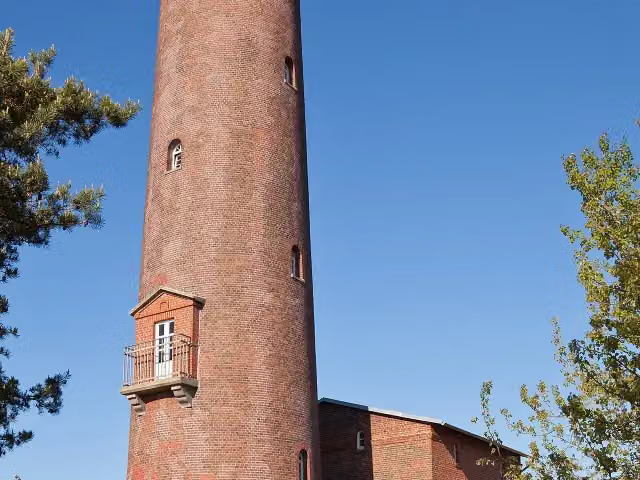 Darßer OrtViewpoint · 5.4 km from the route
- 24
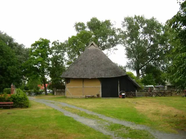 Freilichtmuseum KlockenhagenMuseum · 5.4 km from the route
- 25
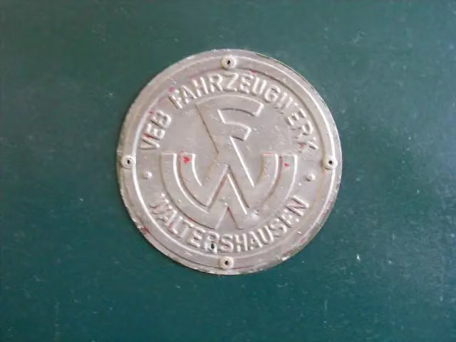 Technik-Museum PütnitzMuseum · 6 km from the route
Explore more
More cycle routes around Stralsund
Frequently asked questions
How long is EuroVelo 13 - Iron Curtain Trail - part 2?
EuroVelo 13 - Iron Curtain Trail - part 2 is 113.1 km long. Allow ± 7:35 h of riding: 15 km an hour, without breaks.
Is this route a circular ride?
No, the route starts and ends at different spots.
Where does this route start?
The route starts in Stralsund.
How hard is this route?
Hard, with 135 m of climbing.
Are there toilets along this route?
Yes, there are 43 public toilets within 100 m of the route. The longest stretch without a toilet is 29.3 km.
Can you fill up with water along this route?
Yes, there are 5 water fountains and refill points within 100 m of the route.
What is there to see along this route?
Along the way you pass Schloss Hohendorf, Windjammer-Museum and DOK Barth.
Can I download this route as a GPX file?
Yes. Sign in with your Outdoor Pitstop account and choose Download GPX at the top of this page: 10 routes a month for free, unlimited with Pro.
Starting point
More routes from this place
Route data © OpenStreetMap contributors





