 Outdoor Pitstop
Cycle route · Sassnitz · Updated on 14 November 2026
Radweg Hamburg-Rügen cycle route
Radweg Hamburg-Rügen is a cycle route of 422.9 km from Sassnitz. Along the way you'll find 449 benches, 3 water fountains and refill points, 25 public toilets and 1 bike pump.
i
i
i
The route step by step
From start to finish, with what you pass along the way and the distance in between.
- 422.9 km
- ± 28:10 h
- ↑ 1,520 m · ↓ 1,510 m
- Hard
- From A to B
- Regional route
- Colour of the signs
Start in Sassnitz
0 kmAt the start: public toilet.
342 m · 2 benches
2 public toilets
342 m187 m

Lenin-Denkmal
529 mMemorial
168 m · 3 benches
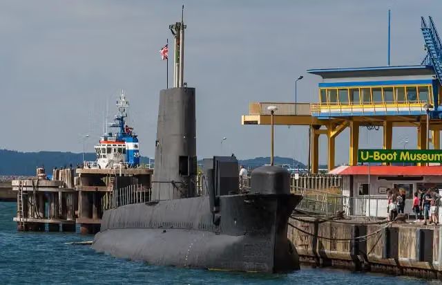
H.M.S. Otus
697 mAttraction
13.1 km · 10 benches
Public toilet
13.8 km10.1 km · 2 benches
Public toilet
23.9 km740 m · 4 benches
Public toilet
24.6 km19.5 km · 29 benches
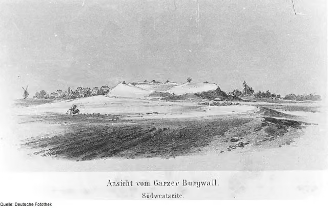
Slawenburg Garz
44.1 kmCastle
8.5 km · 4 benches
Public toilet
52.7 km22.7 km · 11 benches
2 public toilets
75.4 km2 km · 24 benches
2 public toilets
77.4 km48.6 km · 29 benches
Public toilet
126 km1.5 km
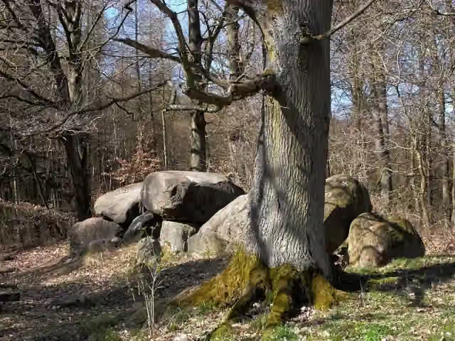
Großsteingrab Klein Methling 1
127.5 kmArchaeological site
18.3 km
Public toilet
145.7 km1.1 km
Public toilet
146.8 km92.3 km · 10 benches
Public toilet
239.1 km3.4 km · 30 benches
Public toilet
242.5 km15.9 km · 10 benches
Public toilet
258.4 km275 m · 6 benches
Water point
258.6 km439 m · 5 benches
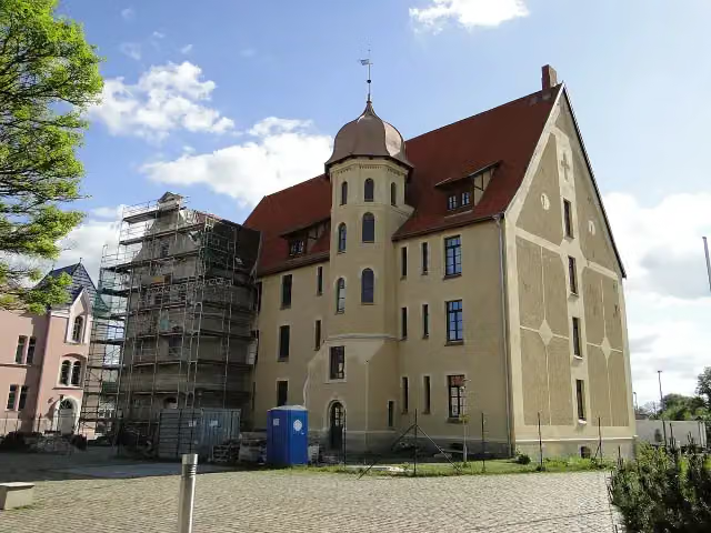
Schloss Bützow
259.1 kmCastle
26 km · 10 benches
Observation tower
285.1 kmObservation tower
2 km
Großsteingrab Klein Görnow
287 kmArchaeological site
10.1 km · 2 benches
Public toilet
297.2 km21.9 km · 2 benches
Burgwall Dobin
319 kmArchaeological site
6.6 km · 22 benches
Public toilet and bike pump
325.6 km4.2 km · 3 benches
2 public toilets
329.7 km14.2 km · 46 benches
Arsenal am Pfaffenteich and 1 more
344 kmDemmlerhaus
193 m · bench
Water point
344.2 km163 m · bench
Schwerin Cathedral and 2 more
344.3 kmFachwerkhaus Buschstraße and Löwendenkmal
199 m · 7 benches
2 public toilets and water point
344.5 km
Show the other 7 steps
295 m · 12 benches
Altes Palais and 1 more
344.8 kmSiegessäule
843 m · 33 benches
Public toilet
345.7 km66.8 km · 81 benches
Schlagsdorf Border House Museum
412.4 kmMuseum
1.5 km · 3 benches
Aussichtsturm Mechower See
413.9 kmObservation tower
4 km · 7 benches
Public toilet
417.9 km1.5 km · 7 benches
Jägerdenkmal
419.4 kmMemorial
3.6 km · 31 benches
Finish
422.9 km
Longest stretch without a toilet: 92.3 kmBetween 146.8 km and 239.1 km there is no public toilet within 100 m of the route.
The route with the pitstops and sights within 100 m of it.
18 sights along the way
In the order you pass them. With the Outdoor Pitstop app you hear their story on the spot. 10 more along the route are on the map.

Memorial · after 529 m
i
Photo: Derzno · Wikimedia Commons · CC BY-SA 4.0View the photo on Wikimedia CommonsAttraction · after 697 m
i
Photo: Wikimedia Commons · Wikimedia Commons · CC BY-SA 3.0 deView the photo on Wikimedia CommonsCastle · after 44.1 km
Archaeological site · after 127.5 km
i
Photo: Niteshift (talk) · Wikimedia Commons · CC BY-SA 3.0View the photo on Wikimedia CommonsCastle · after 259.1 km
Observation tower · after 285.1 km
i
Photo: Ch.Pagenkopf · Wikimedia Commons · CC BY-SA 3.0View the photo on Wikimedia CommonsArchaeological site · after 287 km
Archaeological site · after 319 km
Elevation and terrain
- Up
- ↑ 1,520 m
- Down
- ↓ 1,510 m
- Highest point
- 95 m
- Lowest point
- 2 m
Nowhere steeper than 5%.
Elevation from Copernicus GLO-30 (European Union and ESA), smoothed.
produced using Copernicus WorldDEM-30 © DLR e.V. 2010-2014 and © Airbus Defence and Space GmbH 2014-2018 provided under COPERNICUS by the European Union and ESA; all rights reserved
Way types
422.9 km in total- Road: 162.4 km
- Path: 90.5 km
- Cycle path: 44.7 km
- Busy road: 40.8 km
- Track: 40.5 km
- Street: 38.9 km
- Footpath (walk your bike): 4.7 km
Surfaces
422.9 km in total- Asphalt: 263.7 km
- Paved: 53.5 km
- Gravel: 21.8 km
- Natural: 12.3 km
- Unpaved: 10 km
- Unknown: 61.1 km
About the cycle route Radweg Hamburg-Rügen
Updated on 14 November 2026, with data from OpenStreetMap, the AHN and Copernicus.
Where do you cycle?
Radweg Hamburg-Rügen is a cycle route of 422.9 km that starts in Sassnitz. It does not end where it starts. You start in Hamburg Hauptbahnhof and finish in Sassnitz Hafen auf Rügen. Along the way you pass Lenin-Denkmal (after 529 m), H.M.S. Otus (after 697 m) and Slawenburg Garz (after 44.1 km).
How hard is the route?
You climb 1,520 m in total and descend 1,510 m. Allow ± 28:10 h, without breaks. The level is hard.
What roads do you cycle on?
The longest part is road (162.4 km), path (90.5 km) and cycle path (44.7 km). Of the surface, 263.7 km asphalt and 53.5 km paved. For 61.1 km the surface is not known.
Pitstops along the way
Within 100 metres of the route there are 449 benches, 3 water fountains and refill points, 25 public toilets and 1 bike pump. You can fill your bottle after 258.6 km, after 344.2 km and after 344.5 km. The longest stretch without a toilet is 92.3 km. The Outdoor Pitstop app navigates you there.
Cycle routes nearby
3Sights nearby
Within 10 km of the route, best known first.
- 1
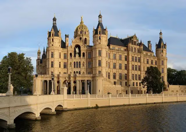 Schwerin CastleAttraction · 246 m from the route
- 2
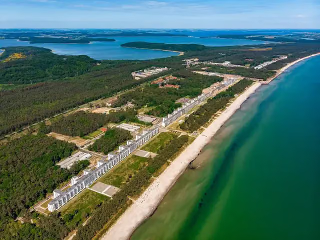 Koloss von Prora - Nordflügel 3Ruins · 3.9 km from the route
- 3
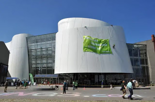 OzeaneumMuseum · 1 km from the route
- 4
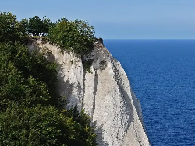 KönigsstuhlAttraction · 6.5 km from the route
- 5
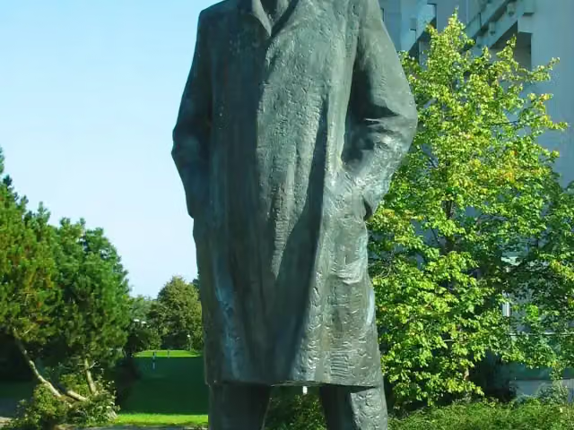 Schwerin Lenin MemorialAttraction · 4.2 km from the route
- 6
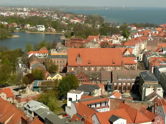 Maritime MuseumMuseum · 455 m from the route
- 7
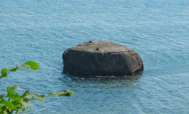 UskamAttraction · 889 m from the route
- 8
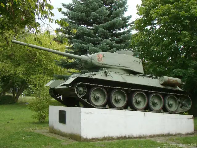 Russian Tank MemorialMemorial · 7 km from the route
- 9
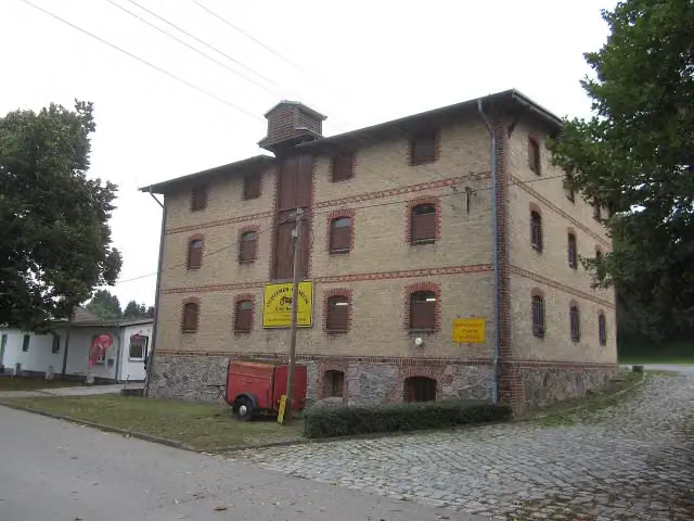 Oldtimer-MuseumMuseum · 116 m from the route
- 10
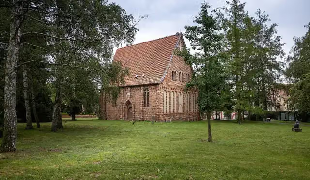 GertrudenkapelleMuseum · 132 m from the route
- 11
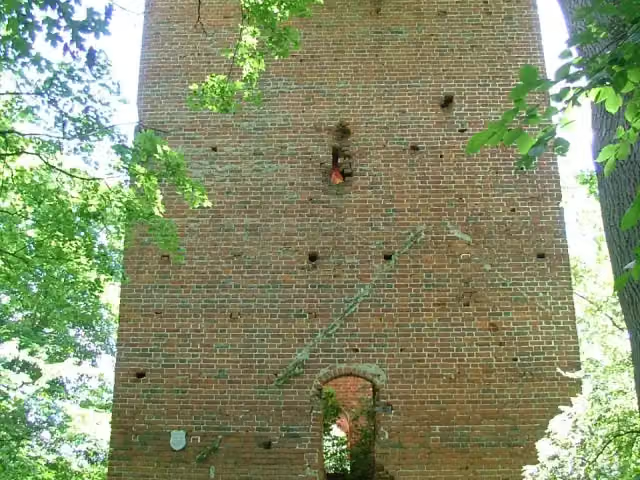 CastleCastle · 133 m from the route
- 12
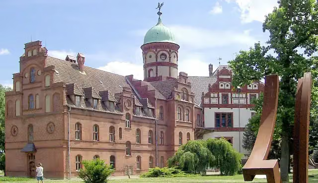 Schloss WiligradCastle · 152 m from the route
- 13
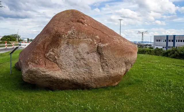 JastorAttraction · 155 m from the route
- 14
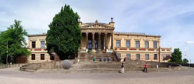 Staatliches Museum SchwerinMuseum · 164 m from the route
- 15
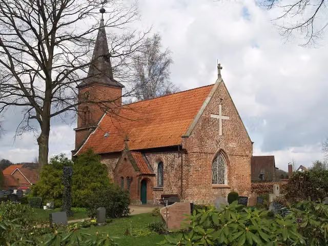 Burg Farchau, MarienhöheArchaeological site · 185 m from the route
- 16
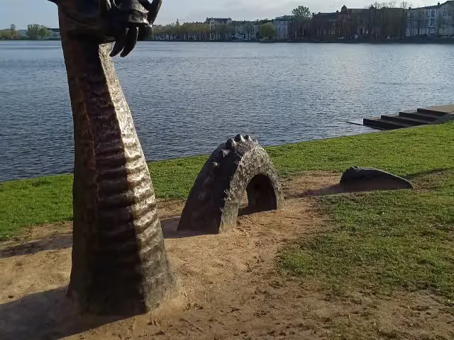 Denkmal der 1870/71 in Gefangenschaft gestorbenen FranzosenMemorial · 190 m from the route
- 17
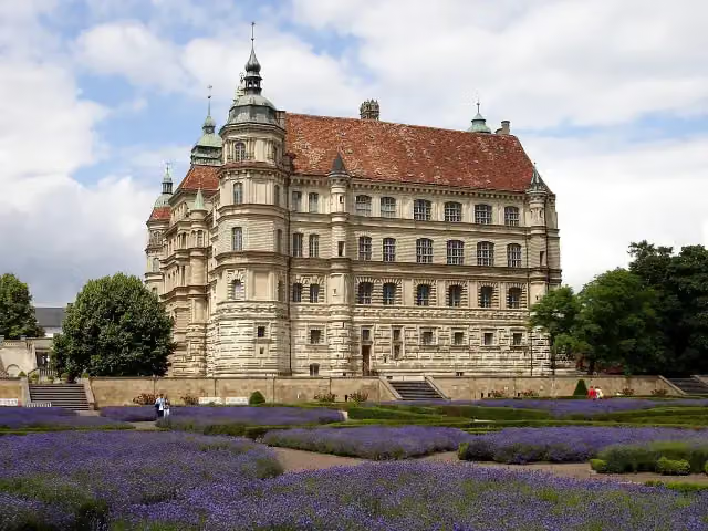 Schloss GüstrowCastle · 198 m from the route
- 18
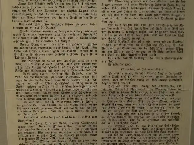 Landesdenkmal für die BefreiungskriegerMemorial · 233 m from the route
- 19
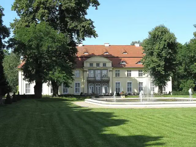 Schloss HasenwinkelAttraction · 239 m from the route
- 20
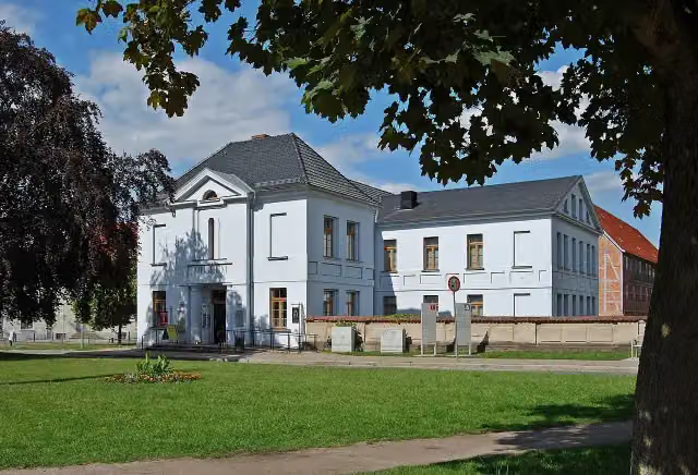 Stadtmuseum GüstrowMuseum · 247 m from the route
- 21
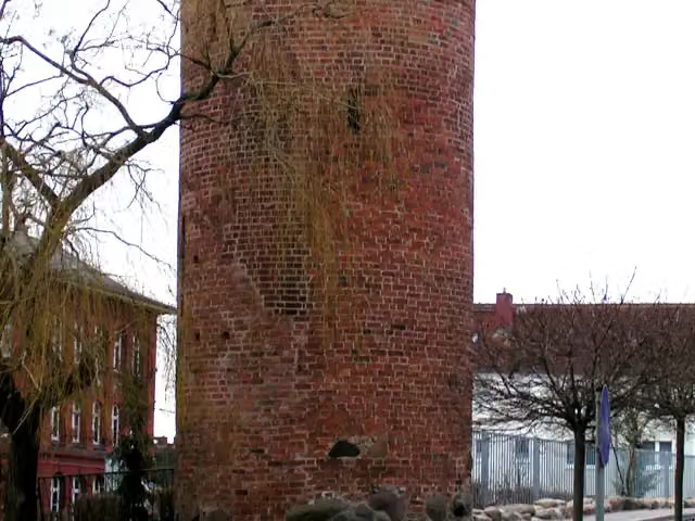 PulverturmAttraction · 293 m from the route
- 22
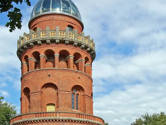 Ernst-Moritz-Arndt-TurmObservation tower · 294 m from the route
- 23
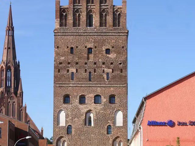 LuisentorAttraction · 323 m from the route
- 24
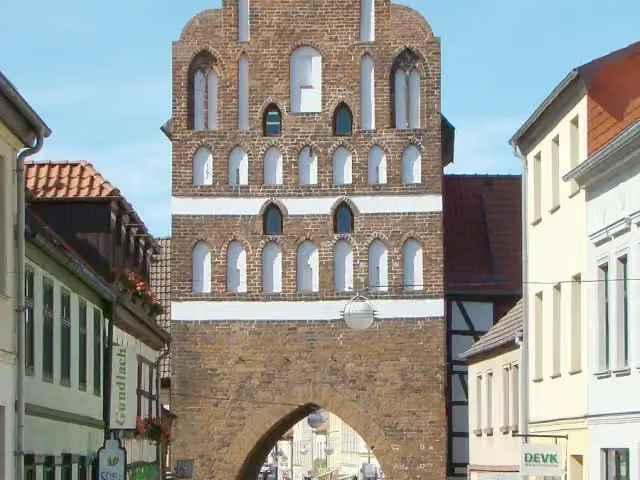 Malchiner TorMuseum · 335 m from the route
- 25
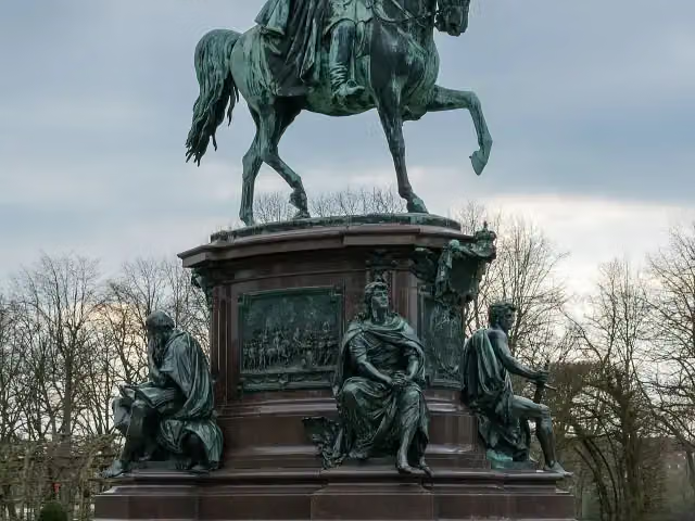 Friedrich Franz IIMemorial · 357 m from the route
Explore more
More cycle routes around Sassnitz
More nearby
Frequently asked questions
How long is Radweg Hamburg-Rügen?
Radweg Hamburg-Rügen is 422.9 km long. Allow ± 28:10 h of riding: 15 km an hour, without breaks.
Is this route a circular ride?
No, the route runs from Hamburg Hauptbahnhof to Sassnitz Hafen auf Rügen.
Where does this route start?
The route starts in Sassnitz.
How hard is this route?
Hard, with 1,520 m of climbing.
Are there toilets along this route?
Yes, there are 25 public toilets within 100 m of the route. The longest stretch without a toilet is 92.3 km.
Can you fill up with water along this route?
Yes, there are 3 water fountains and refill points within 100 m of the route.
What is there to see along this route?
Along the way you pass Lenin-Denkmal, H.M.S. Otus and Slawenburg Garz.
Can I download this route as a GPX file?
Yes. Sign in with your Outdoor Pitstop account and choose Download GPX at the top of this page: 10 routes a month for free, unlimited with Pro.
Starting point
More routes from this place
Route data © OpenStreetMap contributors





