 Outdoor Pitstop
Cycle route · Sassnitz · Updated on 14 November 2026
EV10 Ostseeküsten-Radweg - Abschnitt Deutschland Rügen-Nord cycle route
EV10 Ostseeküsten-Radweg - Abschnitt Deutschland Rügen-Nord is a cycle route of 139.5 km from Sassnitz. Along the way you'll find 184 benches, 2 water fountains and refill points, 14 public toilets and 1 bike pump.
i
i
The route step by step
From start to finish, with what you pass along the way and the distance in between.
- 139.5 km
- ± 9:20 h
- ↑ 225 m · ↓ 382 m
- Hard
- From A to B
- International route
- Colour of the signs
Start in Sassnitz
0 km5.3 km · 10 benches
Public toilet and water point
5.3 km11.1 km · 7 benches

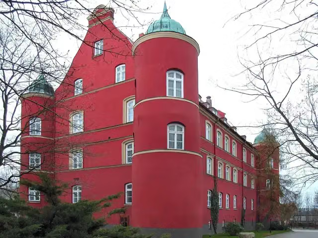
Schloss Spyker
16.4 kmCastle
4.2 km · 8 benches
Public toilet
20.6 km586 m · 13 benches
Ostseeperle
21.1 kmPublic toilet
11 km · 17 benches
Public toilet
32.1 km299 m
Water point
32.4 km2.1 km
Großsteingrab Nobbin
34.5 kmArchaeological site
3.4 km · 15 benches
Public toilet
37.9 km1.2 km · 22 benches
Jaromarsburg and 1 more
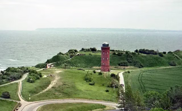
39.1 kmPeilturm Kap Arkona
356 m · 5 benches
Schinkelturm and 1 more
39.5 kmSüdperd and public toilet
170 m · 11 benches
Public toilet and bike pump
39.7 km10.9 km · 15 benches
Public toilet
50.6 km1.3 km
Großsteingrab Starrvitz
51.9 kmArchaeological site
13.1 km · 15 benches
2 public toilets
64.9 km8.5 km · 12 benches
Public toilet
73.5 km11.5 km · 8 benches
Public toilet
85 km521 m · 4 benches
Public toilet
85.5 km18.8 km
Denkmal des Ortsbrandes von 1950
104.3 kmMemorial
797 m
Public toilet
105.1 km14.8 km · bench
Observation tower
119.9 kmObservation tower
18.8 km · 17 benches
Marinemuseum
138.6 kmMuseum
900 m · 4 benches
Finish
139.5 km
Longest stretch without a toilet: 34.4 kmBetween 105.1 km and 139.5 km there is no public toilet within 100 m of the route.
The route with the pitstops and sights within 100 m of it.
11 sights along the way
In the order you pass them. With the Outdoor Pitstop app you hear their story on the spot. 3 more along the route are on the map.
i
Photo: Lapplaender · Wikimedia Commons · CC BY-SA 3.0 deView the photo on Wikimedia CommonsCastle · after 16.4 km
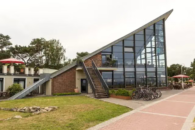
i
Photo: Derzno · Wikimedia Commons · CC BY 3.0View the photo on Wikimedia CommonsAttraction · after 21.1 km
i
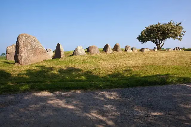
Photo: Unukorno · Wikimedia Commons · CC BY 3.0View the photo on Wikimedia CommonsArchaeological site · after 34.5 km
i
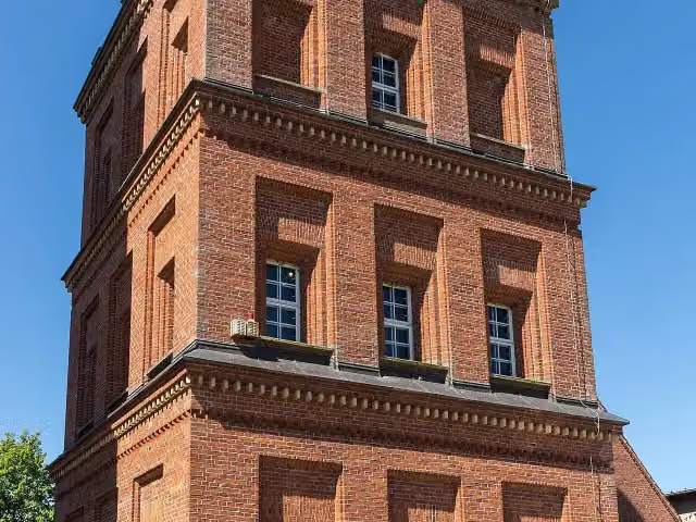
Photo: Jörg Blobelt · Wikimedia Commons · CC BY-SA 4.0View the photo on Wikimedia CommonsArchaeological site · after 39.1 km
i
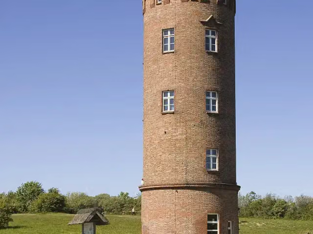
Photo: Unukorno · Wikimedia Commons · CC BY-SA 3.0View the photo on Wikimedia CommonsObservation tower · after 39.2 km
i
Photo: Ansgar Koreng · Wikimedia Commons · CC BY-SA 3.0 deView the photo on Wikimedia CommonsViewpoint · after 39.6 km
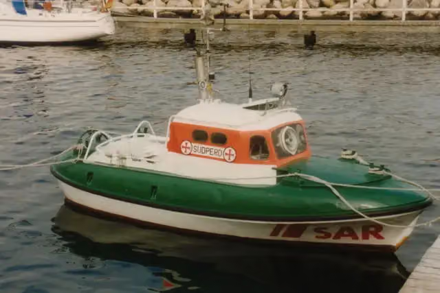
i
Photo: Chris Hartmann · Wikimedia Commons · CC BY-SA 3.0View the photo on Wikimedia CommonsAttraction · after 39.6 km
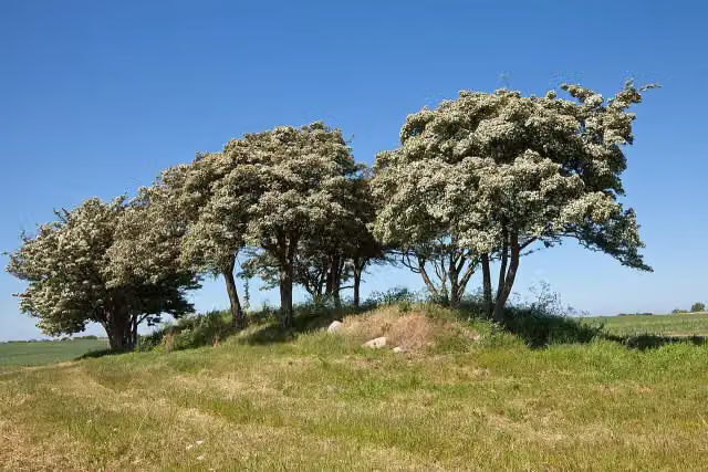
i
Photo: Unukorno · Wikimedia Commons · CC BY-SA 3.0View the photo on Wikimedia CommonsArchaeological site · after 51.9 km
Elevation and terrain
- Up
- ↑ 225 m
- Down
- ↓ 382 m
- Highest point
- 160 m
- Lowest point
- -0 m
Nowhere steeper than 5%.
Elevation from Copernicus GLO-30 (European Union and ESA), smoothed.
produced using Copernicus WorldDEM-30 © DLR e.V. 2010-2014 and © Airbus Defence and Space GmbH 2014-2018 provided under COPERNICUS by the European Union and ESA; all rights reserved
Way types
139.5 km in total- Path: 38.9 km
- Track: 35.2 km
- Road: 33.1 km
- Street: 21.1 km
- Busy road: 6 km
- Cycle path: 3.6 km
- Footpath (walk your bike): 1.1 km
- Unknown: 375 m
Surfaces
139.5 km in total- Asphalt: 69.6 km
- Paved: 34.6 km
- Gravel: 19 km
- Unpaved: 7 km
- Natural: 3.1 km
- Unknown: 6.1 km
About the cycle route EV10 Ostseeküsten-Radweg - Abschnitt Deutschland Rügen-Nord
Updated on 14 November 2026, with data from OpenStreetMap, the AHN and Copernicus.
Where do you cycle?
EV10 Ostseeküsten-Radweg - Abschnitt Deutschland Rügen-Nord is a cycle route of 139.5 km that starts in Sassnitz. It does not end where it starts. Along the way you pass Schloss Spyker (after 16.4 km), Ostseeperle (after 21.1 km) and Großsteingrab Nobbin (after 34.5 km).
How hard is the route?
You climb 225 m in total and descend 382 m. Allow ± 9:20 h, without breaks. The level is hard.
What roads do you cycle on?
The longest part is path (38.9 km), track (35.2 km) and road (33.1 km). Of the surface, 69.6 km asphalt and 34.6 km paved. For 6.1 km the surface is not known.
Pitstops along the way
Within 100 metres of the route there are 184 benches, 2 water fountains and refill points, 14 public toilets and 1 bike pump. You can fill your bottle after 5.3 km and after 32.4 km. The longest stretch without a toilet is 34.4 km. The Outdoor Pitstop app navigates you there.
Cycle routes nearby
3Sights nearby
Within 10 km of the route, best known first.
- 1
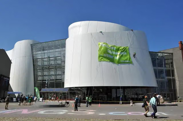 OzeaneumMuseum · 1.2 km from the route
- 2
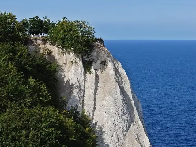 KönigsstuhlAttraction · 485 m from the route
- 3
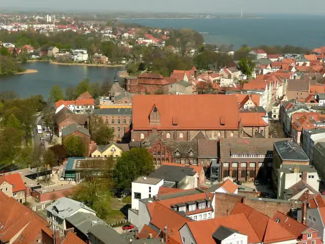 Maritime MuseumMuseum · 1.5 km from the route
- 4
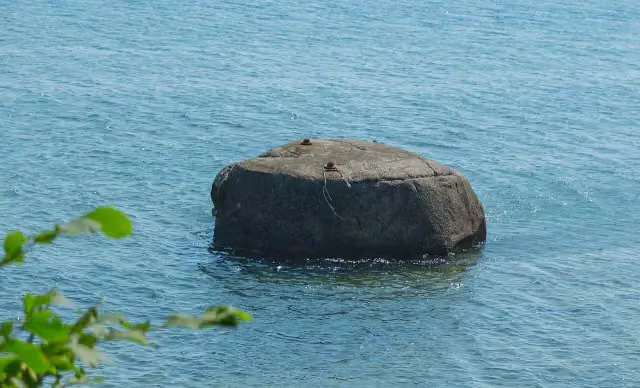 UskamAttraction · 4.9 km from the route
- 5
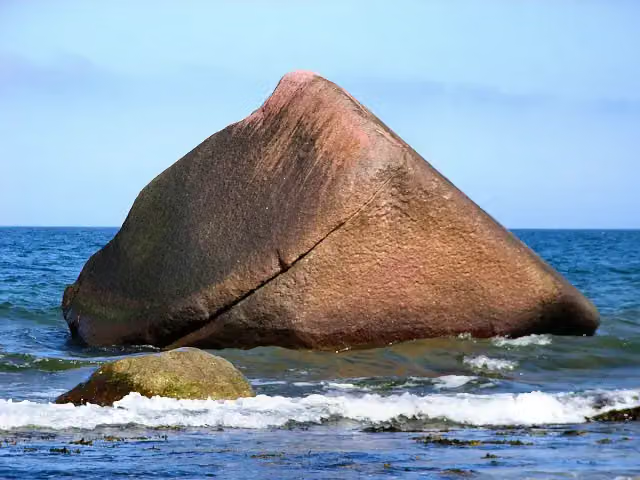 SchwanensteinAttraction · 288 m from the route
- 6
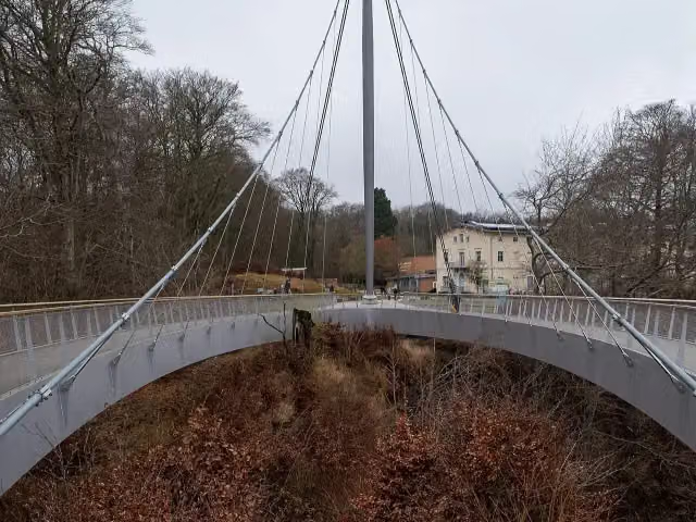 Skywalk KönigsstuhlAttraction · 417 m from the route
- 7
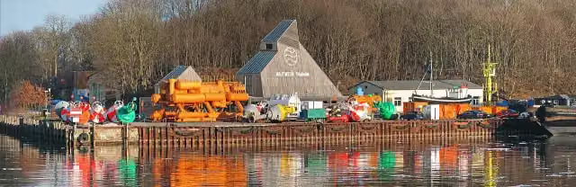 Nautineum StralsundMuseum · 451 m from the route
- 8
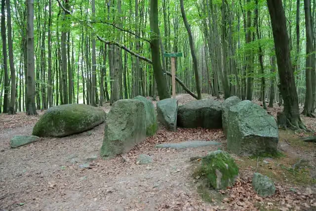 Großsteingrab Hagen-Stubnitz 1Archaeological site · 626 m from the route
- 9
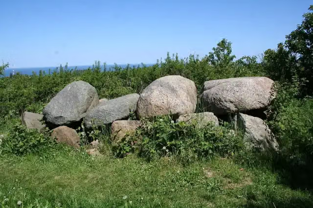 Großsteingrab Nipmerow 5Attraction · 759 m from the route
- 10
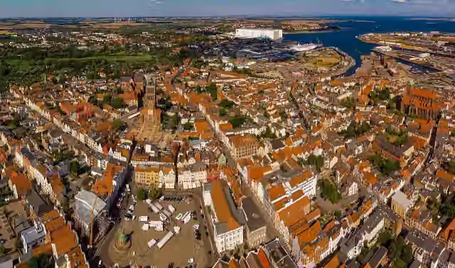 UNESCO World Heritage: Historic Centre of StralsundAttraction · 1.2 km from the route
- 11
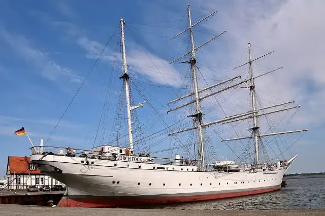 Gorch Fock IAttraction · 1.3 km from the route
- 12
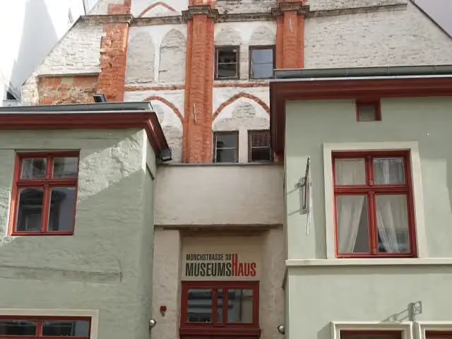 MuseumshausMuseum · 1.3 km from the route
- 13
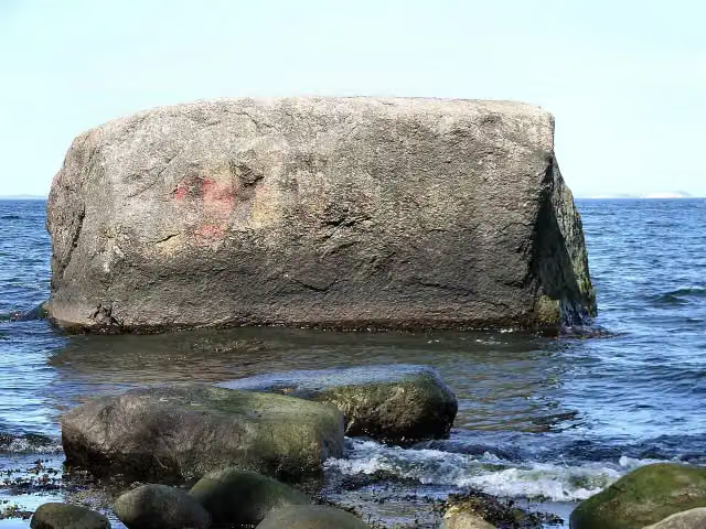 Findling BlandowAttraction · 1.4 km from the route
- 14
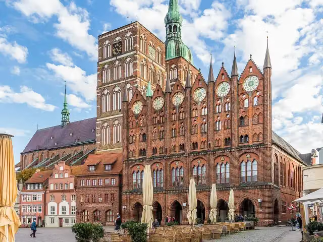 Altes RathausAttraction · 1.5 km from the route
- 15
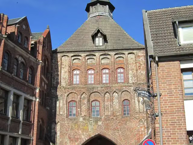 KütertorAttraction · 1.6 km from the route
- 16
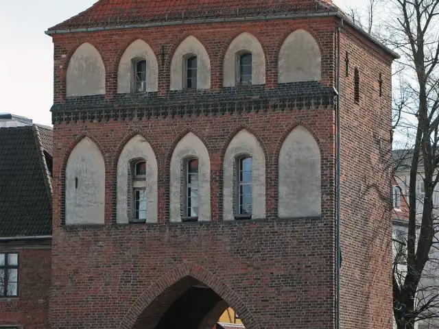 KniepertorAttraction · 1.7 km from the route
- 17
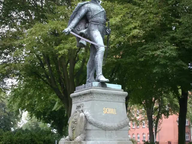 Schill-DenkmalMemorial · 1.8 km from the route
- 18
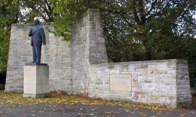 Ernst-Thälmann-DenkmalMemorial · 2.2 km from the route
- 19
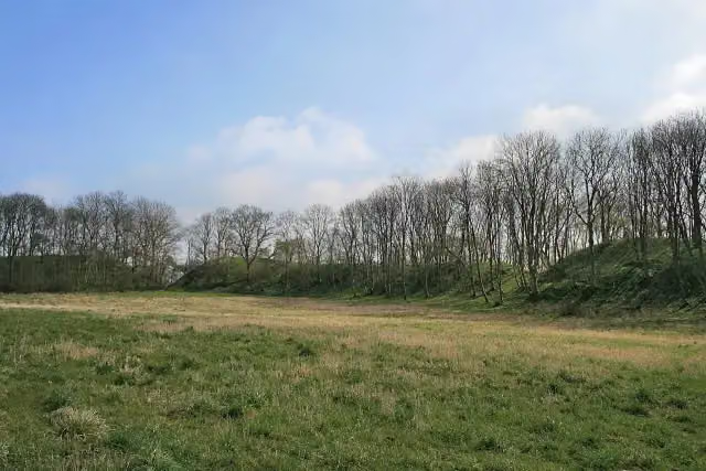 CharenzaArchaeological site · 2.3 km from the route
- 20
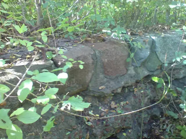 SchwedenschanzeFort · 2.3 km from the route
- 21
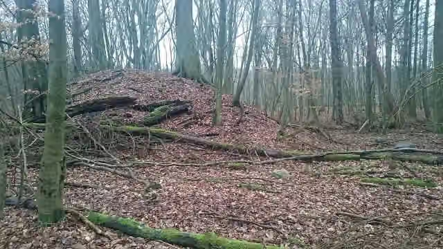 Schlossberg (Werder)Archaeological site · 3.5 km from the route
- 22
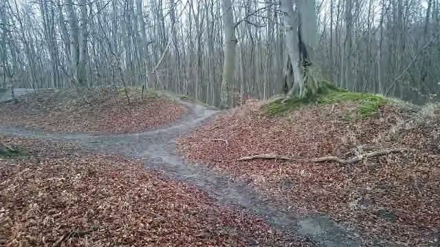 HengstArchaeological site · 4.4 km from the route
- 23
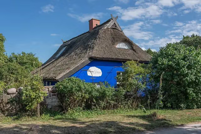 Blaue ScheuneAttraction · 4.5 km from the route
- 24
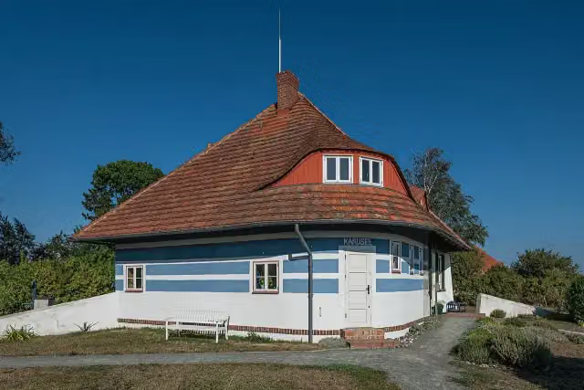 Asta-Nielsen-Haus KaruselAttraction · 4.7 km from the route
- 25
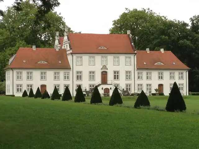 Gutshaus BoldevitzCastle · 5.1 km from the route
Explore more
More cycle routes around Sassnitz
Frequently asked questions
How long is EV10 Ostseeküsten-Radweg - Abschnitt Deutschland Rügen-Nord?
EV10 Ostseeküsten-Radweg - Abschnitt Deutschland Rügen-Nord is 139.5 km long. Allow ± 9:20 h of riding: 15 km an hour, without breaks.
Is this route a circular ride?
No, the route starts and ends at different spots.
Where does this route start?
The route starts in Sassnitz.
How hard is this route?
Hard, with 225 m of climbing.
Are there toilets along this route?
Yes, there are 14 public toilets within 100 m of the route. The longest stretch without a toilet is 34.4 km.
Can you fill up with water along this route?
Yes, there are 2 water fountains and refill points within 100 m of the route.
What is there to see along this route?
Along the way you pass Schloss Spyker, Ostseeperle and Großsteingrab Nobbin.
Can I download this route as a GPX file?
Yes. Sign in with your Outdoor Pitstop account and choose Download GPX at the top of this page: 10 routes a month for free, unlimited with Pro.
Starting point
More routes from this place
Route data © OpenStreetMap contributors





