 Outdoor Pitstop
Cycle route · Aa en Hunze · Updated on 5 November 2026
Hunzeroute cycle route
Hunzeroute is a cycle route of 47.8 km from Aa en Hunze that starts and ends at the same spot. Along the way you'll find 75 benches and picnic tables, 2 water fountains and refill points and 1 public toilet.
The route step by step
From start to finish, with what you pass along the way and the distance in between.
- 47.8 km
- ± 3:10 h
- ↑ 19 m · ↓ 16 m
- Moderate
- Circular ride
- Local route
Start in Aa en Hunze
0 km3.4 km · 13 benches
Water point
3.4 km34 km · 43 benches
Public toilet
37.4 km4.8 km · 12 benches
Water point
42.2 km5.5 km · 7 benches
Back at the start
47.8 km
Longest stretch without a toilet: 37.4 kmBetween 0 km and 37.4 km there is no public toilet within 100 m of the route.
The route with the pitstops and sights within 100 m of it.
Elevation and terrain
- Up
- ↑ 19 m
- Down
- ↓ 16 m
- Highest point
- 20 m
- Lowest point
- 2 m
Nowhere steeper than 5%.
Elevation from AHN (Rijkswaterstaat), smoothed.
Way types
47.8 km in total- Road: 25.9 km
- Cycle path: 19.8 km
- Street: 1.6 km
- Path: 425 m
Surfaces
47.8 km in total- Asphalt: 26.1 km
- Paved: 8.2 km
- Gravel: 2 km
- Unknown: 11.5 km
About the cycle route Hunzeroute
Updated on 5 November 2026, with data from OpenStreetMap and the AHN.
Where do you cycle?
Hunzeroute is a circular ride of 47.8 km from Aa en Hunze: it starts and ends in the same place.
How hard is the route?
The route is almost flat. You climb 19 m in total and descend 16 m. Allow ± 3:10 h, without breaks. The level is moderate.
What roads do you cycle on?
The longest part is road (25.9 km), cycle path (19.8 km) and street (1.6 km). Of the surface, 26.1 km asphalt and 8.2 km paved. For 11.5 km the surface is not known.
Pitstops along the way
Within 100 metres of the route there are 75 benches and picnic tables, 2 water fountains and refill points and 1 public toilet. You can fill your bottle after 3.4 km and after 42.2 km. The longest stretch without a toilet is 37.4 km. The Outdoor Pitstop app navigates you there.
The Hunzeroute is a circular ride of almost 48 km in Drenthe, in the municipalities of Aa en Hunze and Borger-Odoorn. You cycle past Gieten, Eexterzandvoort, Eexterveen, Gieterveen, Gasselternijveen and Gasselte, across the Gasselterveld and partly through Drentsche Aa National Park. Over two fifths is cycle path and most of it is asphalt. The route is run by Recreatieschap Drenthe. We know of two water taps and one toilet on the way.
Cycle routes nearby
6- Saksenroute - 02 - Groningen - BorgerModerate · From A to B56.6 km
- RoldertorenrouteModerate · Circular ride50.3 km
- Tour de TT - FietsrouteHard · Circular ride64.7 km
- LentenrouteModerate · Circular ride40.5 km
- FlintenrouteModerate · Circular ride45.2 km
- De Groene As - Vriezerbrug - AssenEasy · From A to B9.7 km
Sights nearby
Within 10 km of the route, best known first.
- 1
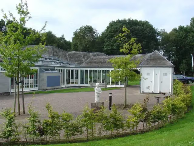 HunebedcentrumMuseum · 4.4 km from the route
- 2
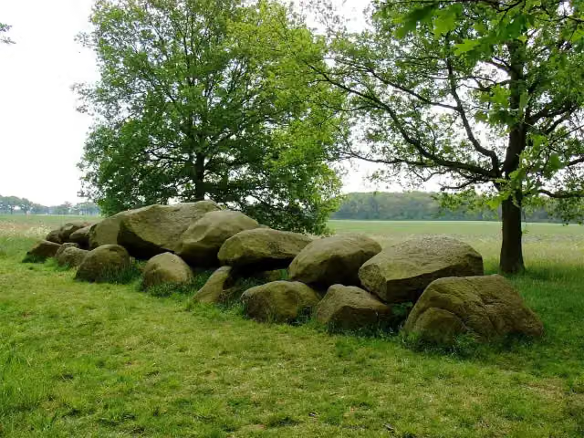 Hunebed D16 BallooArchaeological site · 7.2 km from the route
- 3
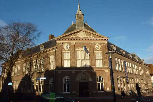 Veenkoloniaal museumMuseum · 7.7 km from the route
- 4
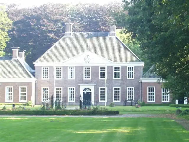 LaarwoudCastle · 7.9 km from the route
- 5
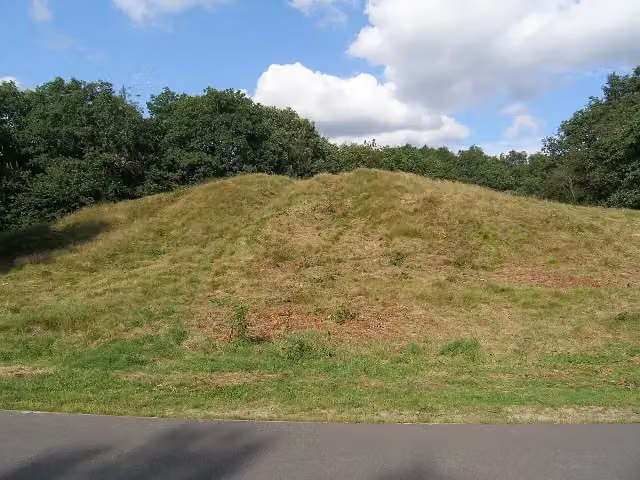 KymmelsbergViewpoint · 7.8 km from the route
- 6
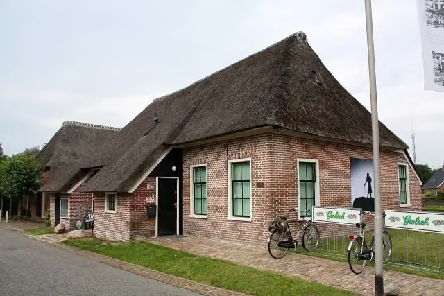 C+B MuseumMuseum · 6.6 km from the route
- 7
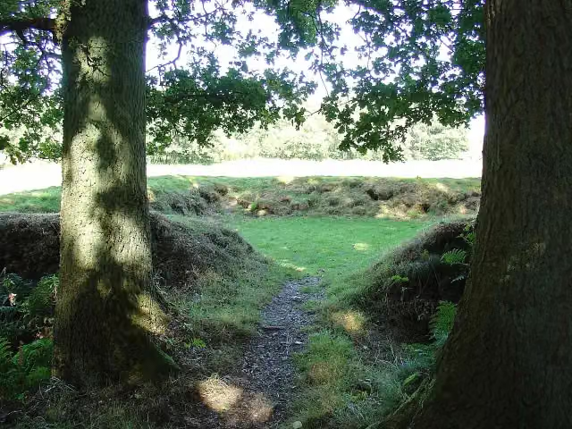 PoepenhemeltjeAttraction · 8.1 km from the route
- 8
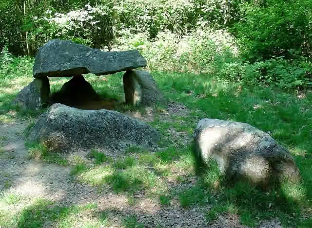 Hunebed D23 BronnegerArchaeological site · 2.9 km from the route
- 9
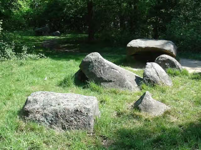 Hunebed D24 BronnegerArchaeological site · 2.9 km from the route
- 10
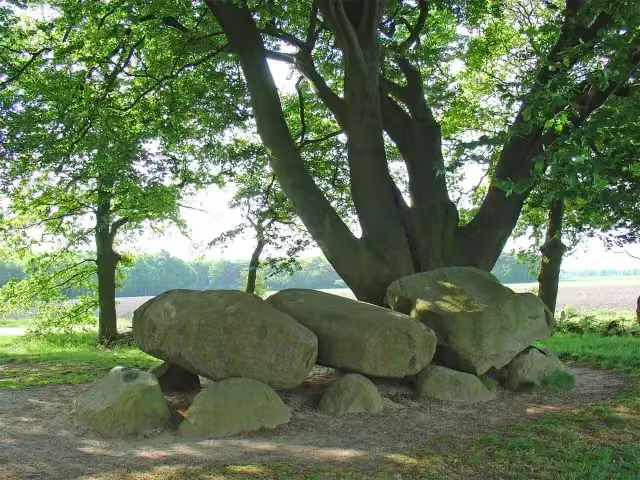 Hunebed D21 BronnegerArchaeological site · 2.9 km from the route
- 11
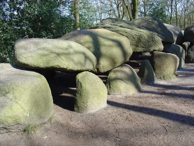 Hunebed D27 BorgerArchaeological site · 4.5 km from the route
- 12
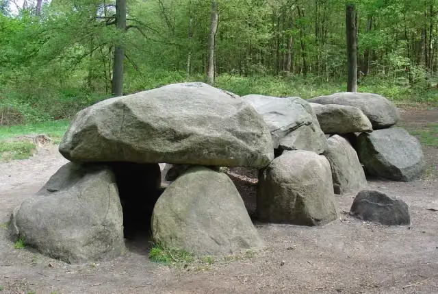 Hunebed D8 Boswachterij SchipborgArchaeological site · 5.8 km from the route
- 13
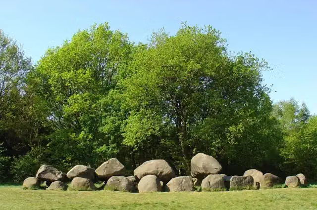 Hunebed D19 DrouwenArchaeological site · 2.1 km from the route
- 14
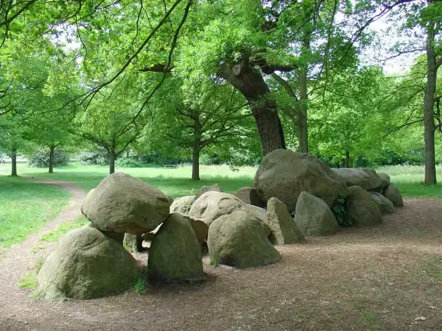 Hunebed D17 RoldeArchaeological site · 5.1 km from the route
- 15
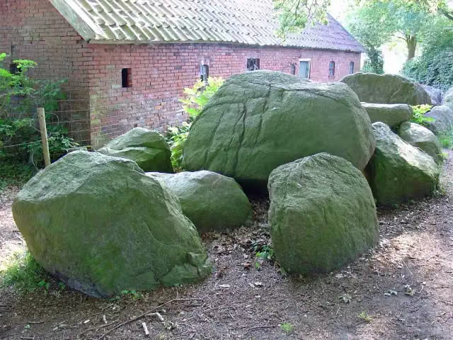 hunebed D4 HunenborgArchaeological site · 9.7 km from the route
- 16
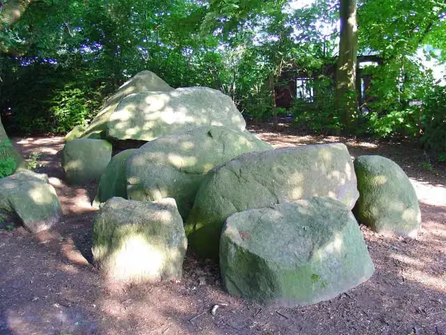 Hunebed D3 MidlarenArchaeological site · 9.7 km from the route
- 17
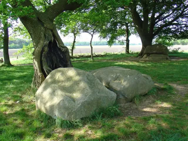 Hunebed D22 BronnegerArchaeological site · 2.9 km from the route
- 18
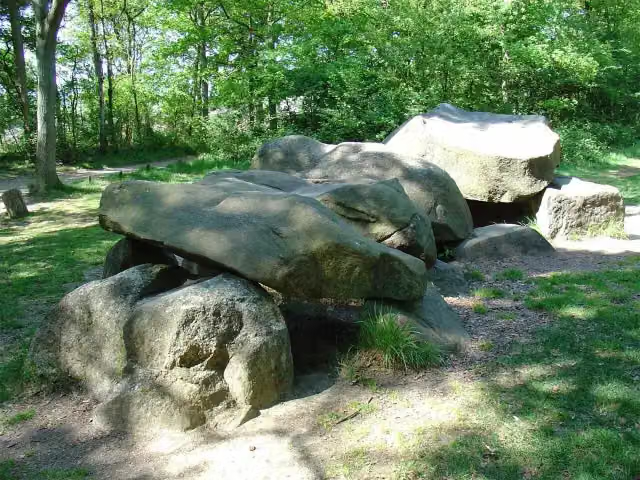 Hunebed D25 BronnegerArchaeological site · 2.9 km from the route
- 19
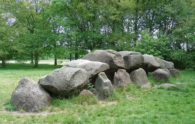 Hunebed D18 RoldeArchaeological site · 5.2 km from the route
- 20
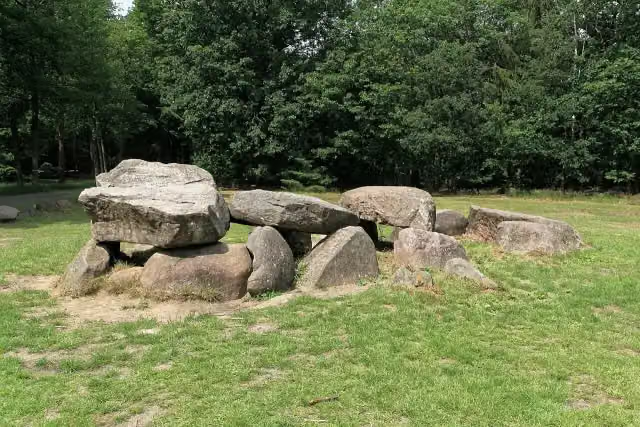 Hunebed D30 Boswachterij ExlooArchaeological site · 9 km from the route
- 21
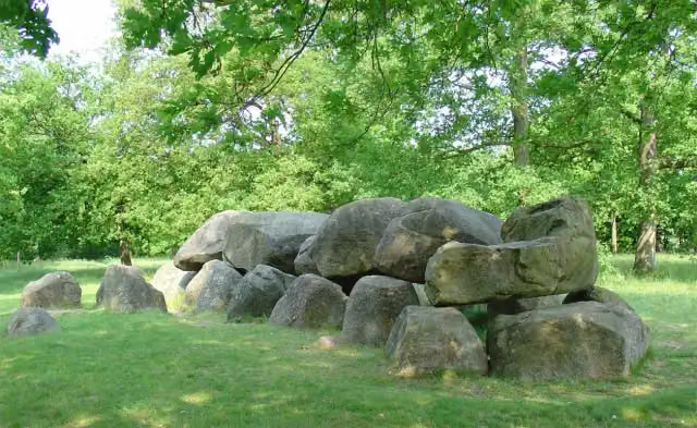 Hunebed D14 EexterhalteArchaeological site · 177 m from the route
- 22
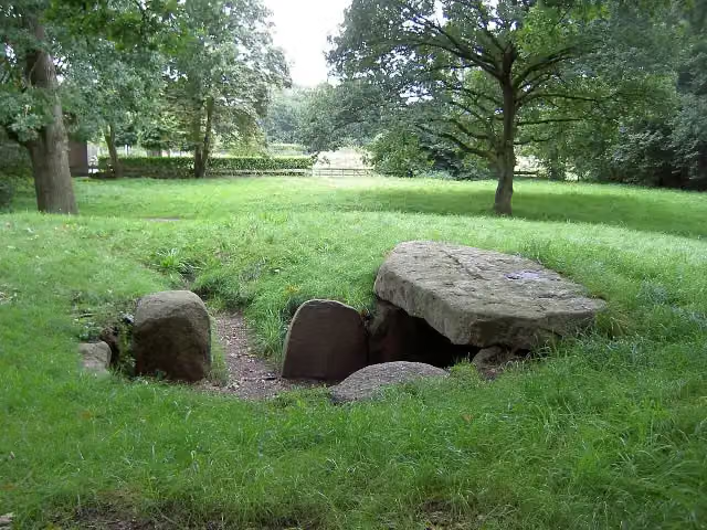 Hunebed D13 EextArchaeological site · 1.3 km from the route
- 23
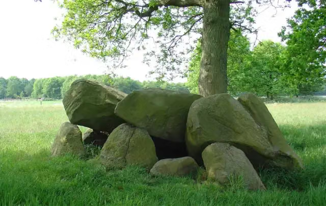 Hunebed D12 Eexter EsArchaeological site · 1.7 km from the route
- 24
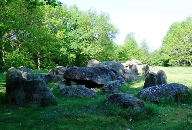 Hunebed D20 DrouwenArchaeological site · 2.1 km from the route
- 25
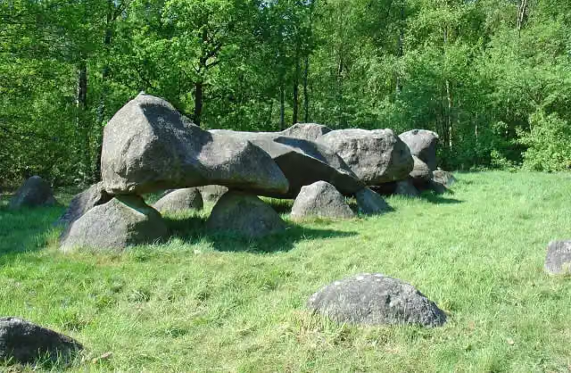 Hunebed D26 DrouwenerveldArchaeological site · 3.1 km from the route
Explore more
Frequently asked questions
How long is Hunzeroute?
Hunzeroute is 47.8 km long. Allow ± 3:10 h of riding: 15 km an hour, without breaks.
Is this route a circular ride?
Yes, the route starts and ends at the same spot.
Where does this route start?
The route starts in Aa en Hunze.
How hard is this route?
Moderate, with 19 m of climbing.
Are there toilets along this route?
Yes, there are 1 public toilet within 100 m of the route. The longest stretch without a toilet is 37.4 km.
Can you fill up with water along this route?
Yes, there are 2 water fountains and refill points within 100 m of the route.
Starting point
More routes from this place
Route data © OpenStreetMap contributors





