 Outdoor Pitstop
Walking route · Het Hogeland · Frisian Woods Trail - All variants · Updated on 5 November 2026
Friese Woudenpad - Alle varianten walk
Friese Woudenpad - Alle varianten is a walk of 247.6 km from Het Hogeland. Along the way: 283 benches and picnic tables, 6 water fountains and refill points, 14 public toilets and 1 bike pump.
i
i
The route step by step
From start to finish, with what you pass along the way and the distance in between.
- 247.6 km
- From A to B
- National route
Pick a stage to see the pitstops per kilometre. Along the way: 283 benches and picnic tables, 6 water fountains and refill points, 14 public toilets and 1 bike pump.
Follow these steps in the appThe route with the water points, toilets and sights within 100 m of it.
3 sights along the way
In the order you pass them. With the Outdoor Pitstop app you hear their story on the spot.
- Audio story · 1 min
Museum Dokkum
Museum
i
Photo: A. J. van der Wal · Wikimedia Commons · CC BY-SA 4.0View the photo on Wikimedia CommonsCastle
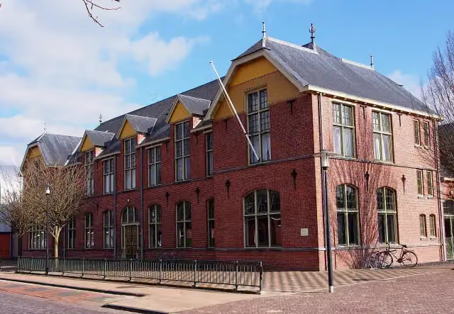
Nationaal Vlechtmuseum
Museum
Stages (4)
- 1Friese Woudenpad - HoofdrouteFrisian Woods Trail - Main route161.8 km
- 2Friese Woudenpad - 10 - Variant Holwerd-DokkumFrisian Woods Trail - 10 - Variant Holwerd-Dokkum14.5 km
- 3Friese Woudenpad - 11 - Variant-Ureterp-HoornsterzwaagFrisian Woods Trail - 11 - Variant-Ureterp-Hoornsterzwaag19.5 km
- 4Friese Woudenpad - Variant De Hoeve-OldemarktFrisian Woods Trail - Variant De Hoeve-Oldemarkt51.7 km
About the walking route Friese Woudenpad - Alle varianten
Updated on 5 November 2026, with data from OpenStreetMap and the AHN.
Where do you walk?
Friese Woudenpad - Alle varianten is a walking route of 247.6 km that starts in Het Hogeland. It does not end where it starts.
Pitstops along the way
Within 100 metres of the route there are 283 benches and picnic tables, 6 water fountains and refill points, 14 public toilets and 1 bike pump. The Outdoor Pitstop app navigates you there.
Walks nearby
6- Nederlands Kustpad deel 3, sectie 07Moderate · From A to B18.1 km
- Wadlooproute Holwerd - Ameland (Oerd Blinkert)Easy · From A to B9.1 km
- Wadlooproute Holwerd - Ameland (Kooiduinen)Easy · From A to B9.2 km
- Elfstedenpad - 12 - Hallumerhoek-Dokkum, JaachpaadHard · From A to B23.1 km
- Nederlands Kustpad deel 3, sectie 08Moderate · From A to B16 km
- Nederlands Kustpad deel 3, sectie 06Moderate · From A to B18.5 km
Sights nearby
Within 10 km of the route, best known first.
- 1
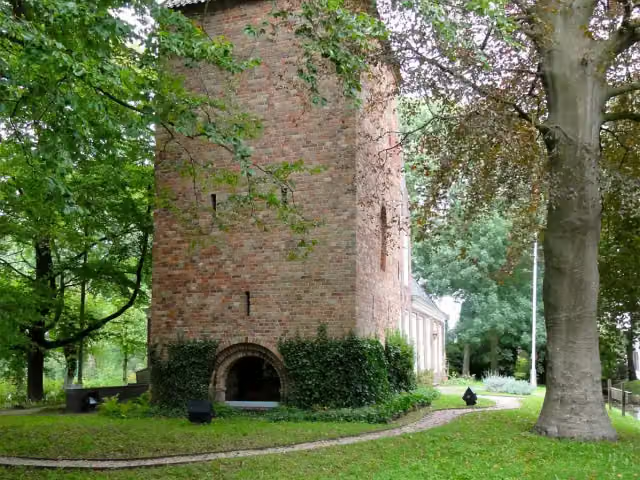 SchierstinsCastle · 950 m from the route
- 2
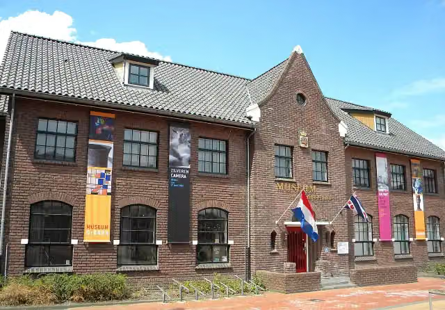 Museum DrachtenMuseum · 3.4 km from the route
- 3
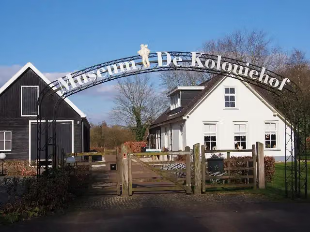 Museum De ProefkolonieMuseum · 1.7 km from the route
- 4
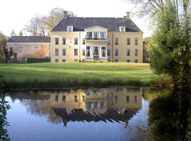 FogelsanghstateMuseum · 6.5 km from the route
- 5
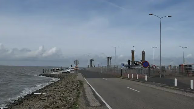 Dam Holwerd-AmelandRuins · 3.6 km from the route
- 6
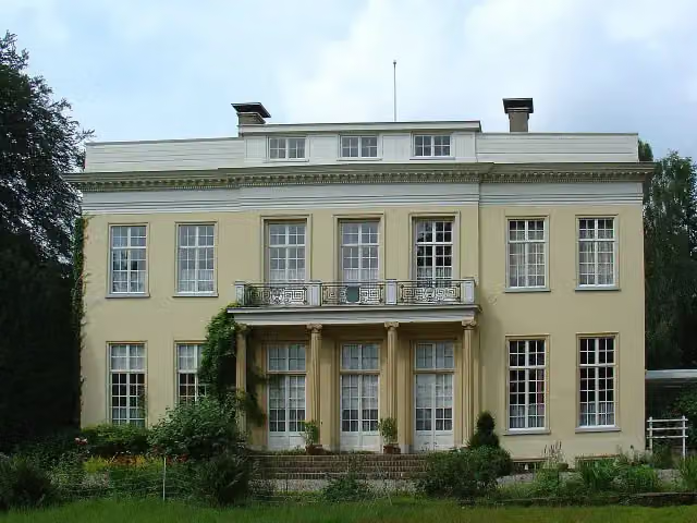 HarinxmastateCastle · 201 m from the route
- 7
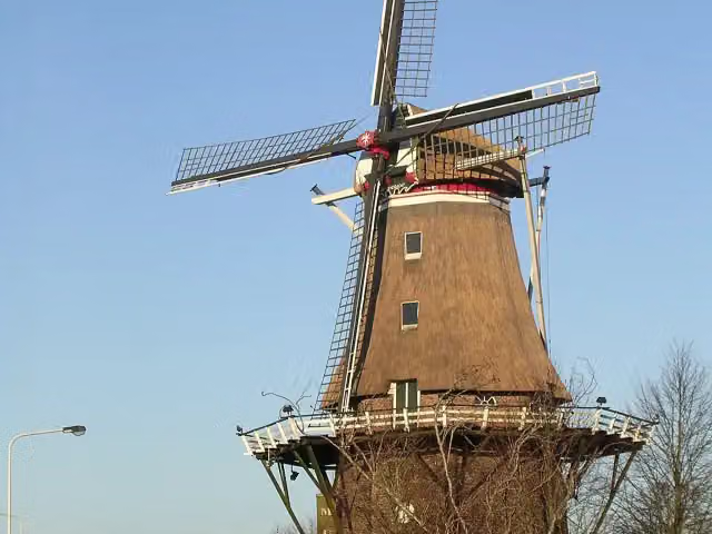 Molenmuseum De EendrachtMuseum · 309 m from the route
- 8
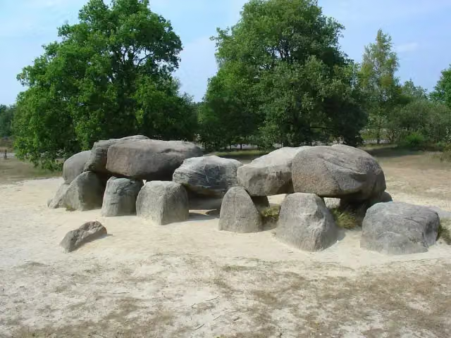 Hunebed D54 HavelterbergArchaeological site · 6.4 km from the route
- 9
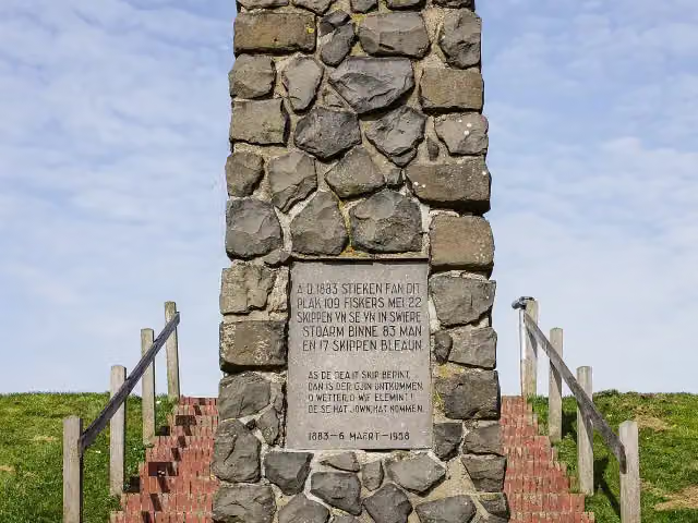 VissersmonumentMemorial · 3.6 km from the route
- 10
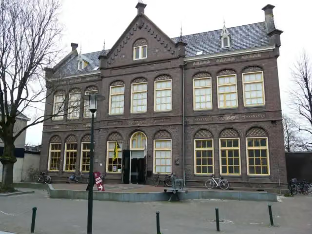 Streekmusuem OpsterlandMuseum · 3.8 km from the route
- 11
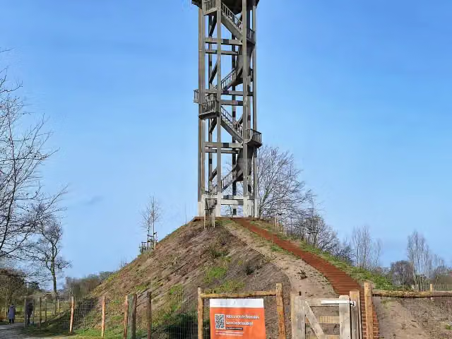 BelvedèreObservation tower · 9.4 km from the route
- 12
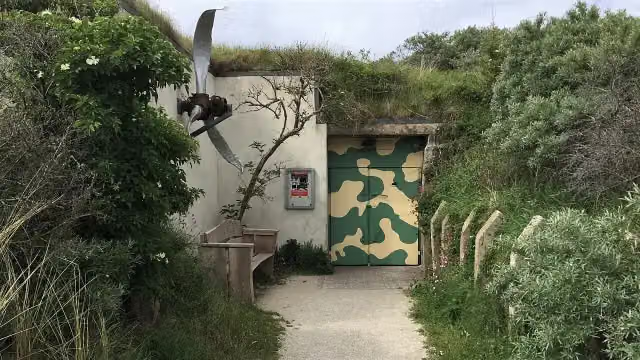 Bunkermuseum SchleiMuseum · 9.2 km from the route
- 13
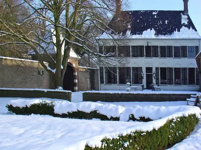 OvercingeCastle · 7.6 km from the route
- 14
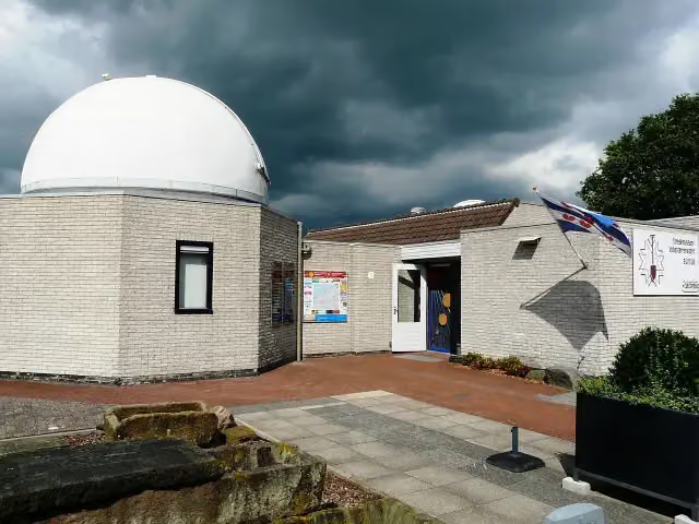 ObserveumMuseum · 2.6 km from the route
- 15
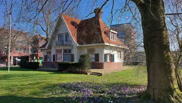 Oudheidkamer WeststellingwerfMuseum · 2.2 km from the route
- 16
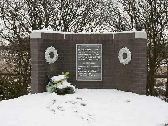 Monument DoldersumMemorial · 3.8 km from the route
- 17
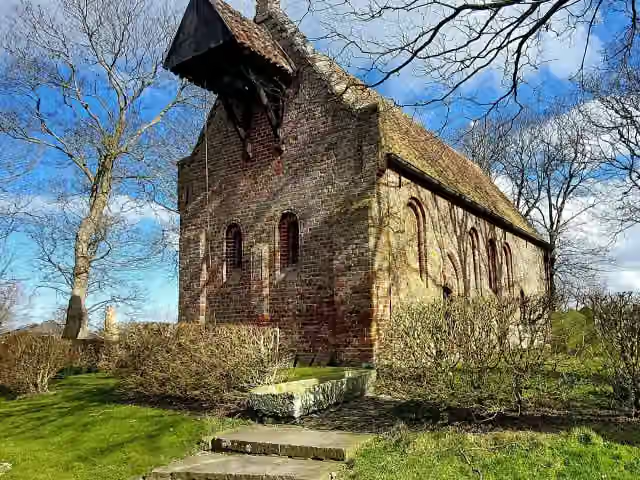 Kerkmuseum JannumMuseum · 4.6 km from the route
- 18
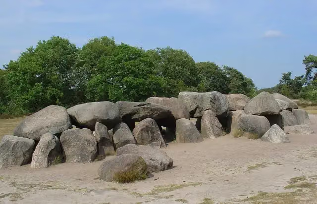 Hunebed D53 HavelterbergArchaeological site · 6.3 km from the route
- 19
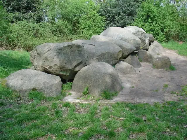 Hunebed D52 DieverArchaeological site · 8.2 km from the route
- 20
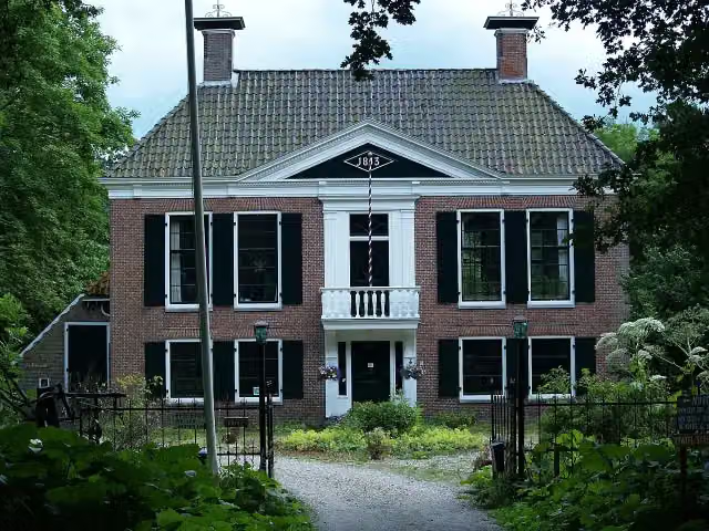 CoendersborgCastle · 8.4 km from the route
- 21
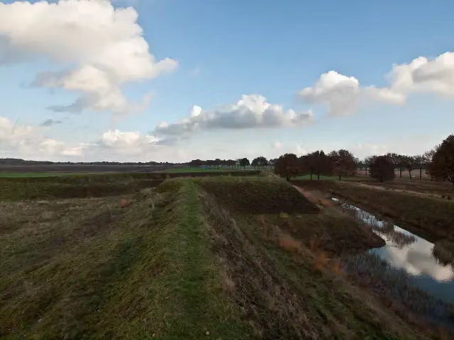 ZwartendijksterschansArchaeological site · 8 km from the route
- 22
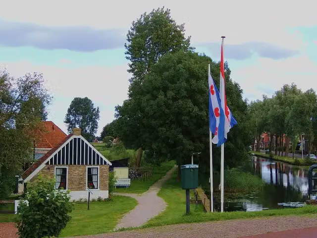 Openluchtmuseum It DamshûsMuseum · 5.3 km from the route
- 23
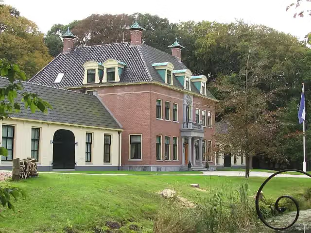 Rinsma StateCastle · 2.9 km from the route
- 24
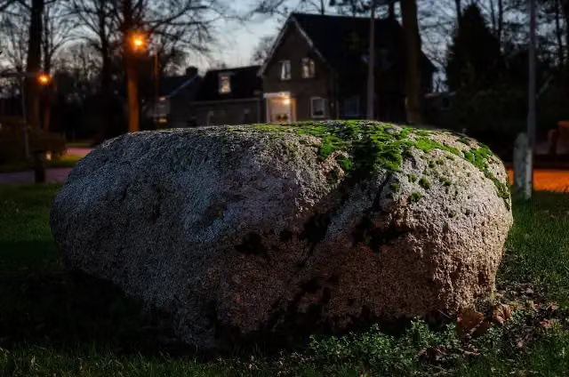 De PoppestienAttraction · 4.3 km from the route
- 25
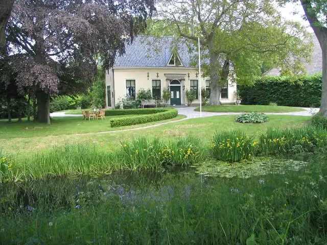 HarstastateCastle · 4.5 km from the route
Explore more
Frequently asked questions
How long is Friese Woudenpad - Alle varianten?
Friese Woudenpad - Alle varianten is 247.6 km long, split into several parts and stages.
Is this route a circular walk?
No, the route starts and ends at different spots.
Where does this route start?
The route starts in Het Hogeland.
Are there toilets along this route?
Yes, there are 14 public toilets within 100 m of the route.
Can you fill up with water along this route?
Yes, there are 6 water fountains and refill points within 100 m of the route.
What is there to see along this route?
Along the way you pass Museum Dokkum, Lyndenstein and Nationaal Vlechtmuseum.
Start place
More routes from this place
Route data © OpenStreetMap contributors





