 Outdoor Pitstop
Walking route · Apeldoorn · Updated on 14 November 2026
Klompenpad Holhorsterpad walk
Klompenpad Holhorsterpad is a walk of 11.4 km from Apeldoorn that starts and ends at the same spot. Along the way you'll find 5 benches.
The route step by step
From start to finish, with what you pass along the way and the distance in between.
- 11.4 km
- ± 2:35 h
- ↑ 6 m · ↓ 6 m
- Moderate
- Circular walk
- Local route
- Colour of the signs
This route is in pieces in OpenStreetMap, so there are no kilometres per pitstop. Along the way you'll find 5 benches.
Follow these steps in the appNo public toilet along the wayThere is no public toilet within 100 m of the route. Go before you start, or find one a bit further away in the app.
The route with the pitstops and sights within 100 m of it.
Elevation and terrain
- Up
- ↑ 6 m
- Down
- ↓ 6 m
- Highest point
- 12 m
- Lowest point
- 4 m
- 4 stairs
Elevation from AHN (Rijkswaterstaat), smoothed.
Way types
11.4 km in total- Road: 4.6 km
- Path: 4.4 km
- Cycleway: 1.2 km
- Track: 900 m
- Stairs: 4 stairs
- Footpath: 125 m
Surfaces
11.4 km in total- Asphalt: 5.2 km
- Natural: 2.3 km
- Gravel: 1.7 km
- Unpaved: 1.1 km
- Paved: 975 m
- Unknown: 200 m
About the walking route Klompenpad Holhorsterpad
Updated on 14 November 2026, with data from OpenStreetMap, the AHN and Copernicus.
Where do you walk?
Klompenpad Holhorsterpad is a circular walk of 11.4 km from Apeldoorn: it starts and ends in the same place.
How hard is the route?
The route is almost flat. You climb 6 m in total and descend 6 m. There are 4 flights of steps along the way. Allow ± 2:35 h, without breaks. The level is moderate.
What paths do you walk on?
The longest part is road (4.6 km), path (4.4 km) and cycleway (1.2 km). Of the surface, 5.2 km asphalt and 2.3 km natural. For 200 m the surface is not known.
Pitstops along the way
Within 100 metres of the route there are 5 benches. There is no public toilet within 100 metres of the route. The Outdoor Pitstop app navigates you there.
Holhorsterpad: local 11 km walking route
The Holhorsterpad is a local walking route of 11 km. You start and finish in the same place, so you walk a circular route. This page tells you everything about the klompenpad Holhorsterpad walk. The route is almost flat: in total you climb 6 m and descend 6 m. The map shows you how the route runs, and the elevation profile shows how little height difference there is. You will also find the pitstops along the way, such as public toilets, drinking water and benches, so you can decide in advance where to take a break.
Surface and type of path along the way
Almost half of the route, 46% of all kilometres, runs over asphalt. Another 20% is natural ground, 15% gravel, 10% unpaved and 9% paved. So you walk mostly on firm ground, with some softer and looser stretches. After heavy rain, the unpaved sections can be a little muddy, so wear shoes that cope with damp ground. The type of road also varies. 40% of the route is ordinary road and 39% is footpath. You also walk 11% along a cycle path and 8% along a farm track or forest track. Watch out for traffic on the road and cycle path sections, and step aside when cyclists or cars pass.
Stops along the way: 5 benches to rest
Along the route there are 5 benches. These are the spots where you can sit down for a moment, for example to have something to eat or drink. In the app you can see where they are, so you can choose your rest stops in advance. For this route, only benches are listed as pit stops. You should therefore bring enough drinks and food for the whole walk yourself.
Walks nearby
4Sights nearby
Within 10 km of the route, best known first.
- 1
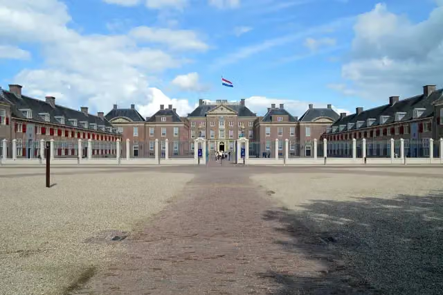 Paleis het LooCastle · 2 km from the route
- 2
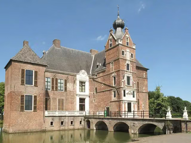 Kasteel CannenburchMuseum · 4.2 km from the route
- 3
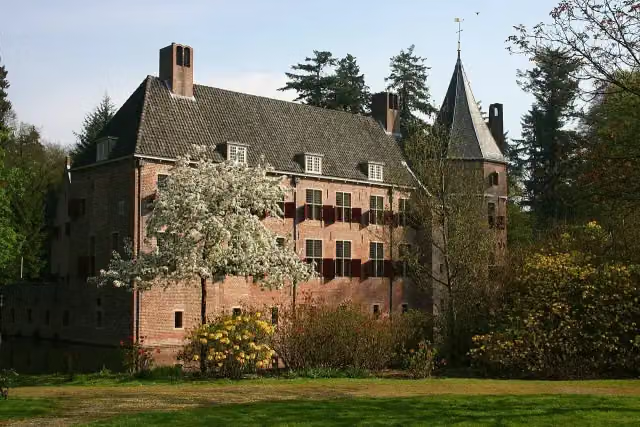 Kasteel Het Oude LooCastle · 2.3 km from the route
- 4
 Veluwsche Stoomtrein MaatschappijMuseum · 8.8 km from the route
- 5
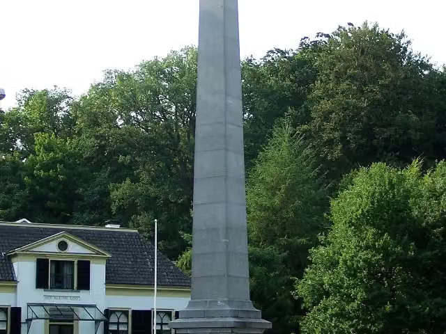 De NaaldMemorial · 2.3 km from the route
- 6
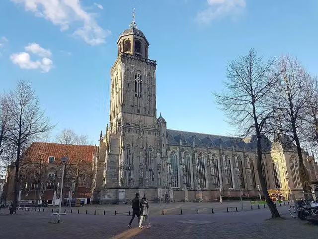 Grote of LebuinuskerkAttraction · 9.6 km from the route
- 7
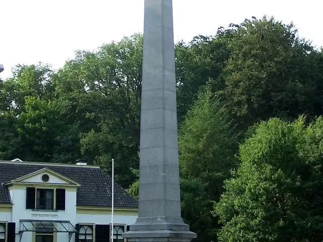 30 april 2009Memorial · 2.4 km from the route
- 8
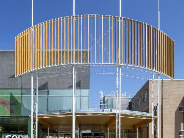 CODAMuseum · 2.9 km from the route
- 9
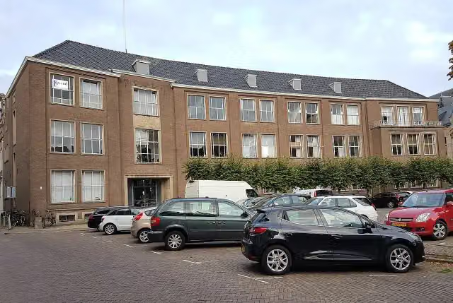 Museum EICASMuseum · 9.5 km from the route
- 10
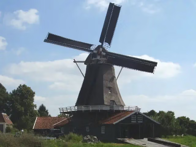 BolwerksmolenAttraction · 9.5 km from the route
- 11
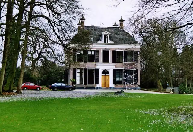 Het HolthuisCastle · 6.9 km from the route
- 12
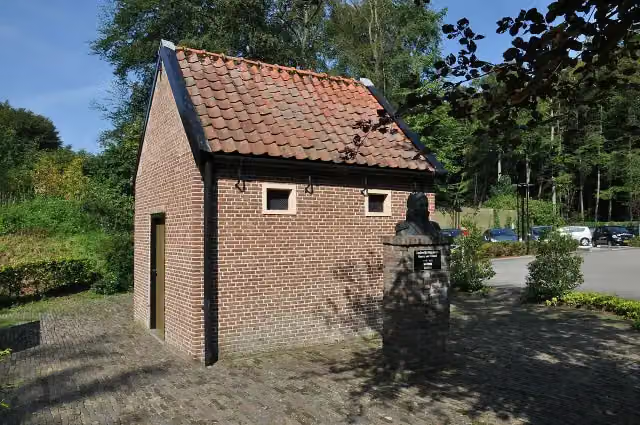 De EchoputAttraction · 6.7 km from the route
- 13
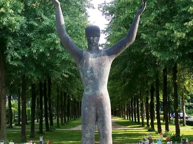 Man With Two HatsMemorial · 2.4 km from the route
- 14
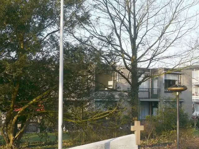 Verzetsmonument BeekbergenMemorial · 9.1 km from the route
- 15
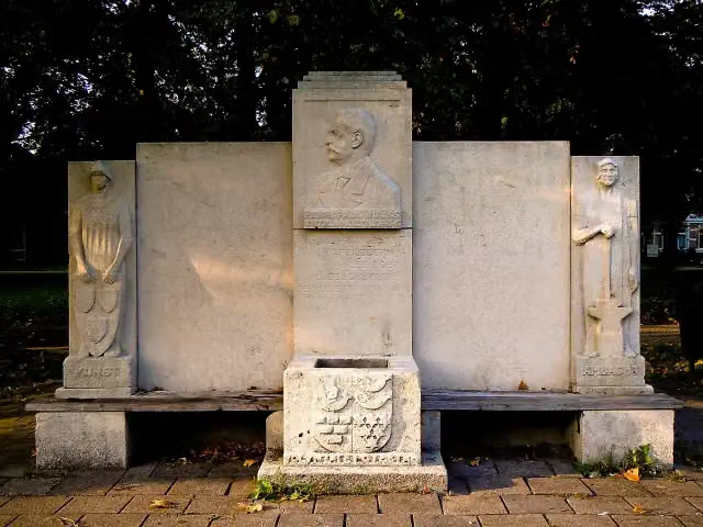 MemorialMemorial · 2.1 km from the route
- 16
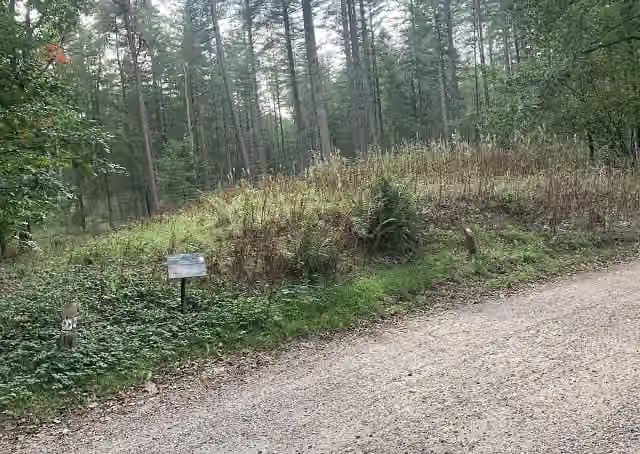 Archaeological siteArchaeological site · 3.3 km from the route
- 17
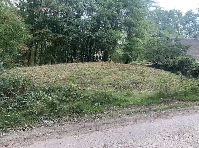 Archaeological siteArchaeological site · 3.3 km from the route
- 18
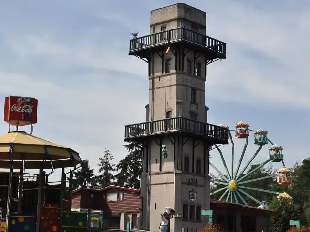 JulianatorenObservation tower · 4.2 km from the route
- 19
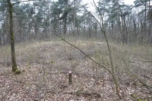 Archaeological siteArchaeological site · 8.2 km from the route
- 20
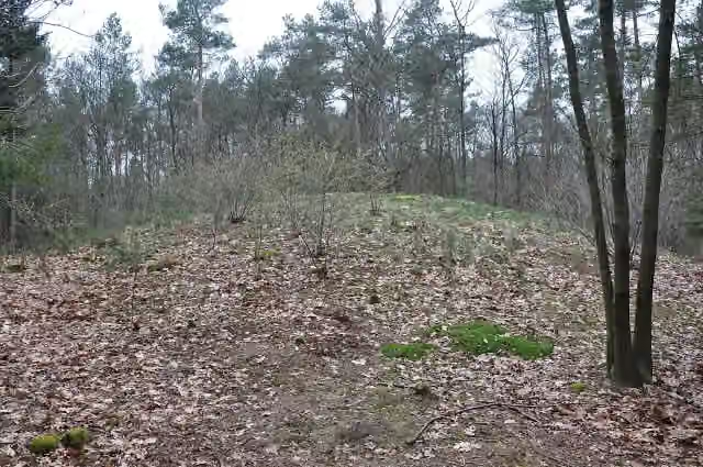 Het BisschopsbergjeArchaeological site · 8.3 km from the route
- 21
 Museum De WaagMuseum · 9.9 km from the route
- 22Toy MuseumMuseum · 9.9 km from the route
- 23Observation towerObservation tower · 2.3 km from the route
- 24Archaeological siteArchaeological site · 2.9 km from the route
- 25Archaeological siteArchaeological site · 3.2 km from the route
Explore more
Frequently asked questions
How long is the Holhorsterpad walk?
The Holhorsterpad walk is 11 km long. It is a local walking route.
Is the Holhorsterpad walk a circular route?
Yes, the Holhorsterpad walk is a circular route, so you start and finish in the same place.
How much elevation gain does the Klompenpad Holhorsterpad walk have?
The Klompenpad Holhorsterpad walk has 6 metres of ascent and 6 metres of descent. The route is therefore very flat.
How many benches are there along the Holhorsterpad walk?
There are 5 benches along the Holhorsterpad walk where you can stop for a rest.
What kind of surface do you walk on along the Holhorsterpad walk?
The majority is asphalt (46%), followed by natural surface (20%), gravel (15%), unpaved (10%) and paved (9%).
Do you mainly walk on paths or roads along the Holhorsterpad walk?
You mainly walk on roads (40%) and paths (39%). In addition, 11% is cycle path and 8% is field or forest track.
Starting point
More routes from this place
Route data © OpenStreetMap contributors





