 Outdoor Pitstop
Walking route · Marktredwitz · Updated on 13 November 2026
Goldsteig walk
Goldsteig is a walk of 812.4 km from Marktredwitz. Along the way you'll find 2,436 benches, 68 water fountains and refill points, 133 public toilets, 7 bike pumps and 5 honesty boxes and farm vending machines.
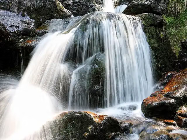
i
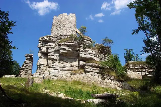
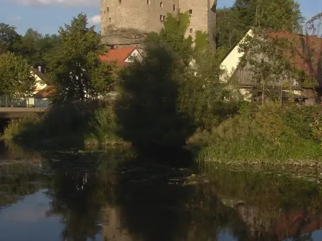
i
The route step by step
From start to finish, with what you pass along the way and the distance in between.
- 812.4 km
- From A to B
- National route
Pick a stage to see the pitstops per kilometre. Along the way you'll find 2,436 benches, 68 water fountains and refill points, 133 public toilets, 7 bike pumps and 5 honesty boxes and farm vending machines.
Follow these steps in the appThe route with the water points, toilets and sights within 100 m of it.
59 sights along the way
In the order you pass them. With the Outdoor Pitstop app you hear their story on the spot. 51 more along the route are on the map.
Castle
i
Photo: Walter J. Pilsak, Waldsassen · Wikimedia Commons · CC BY-SA 3.0View the photo on Wikimedia CommonsCastle
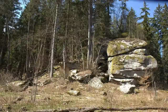
Archaeological site
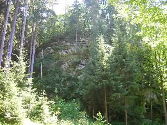
Archaeological site
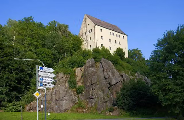
i
Photo: Grenzlandstern · Wikimedia Commons · CC BY-SA 4.0View the photo on Wikimedia CommonsMuseum
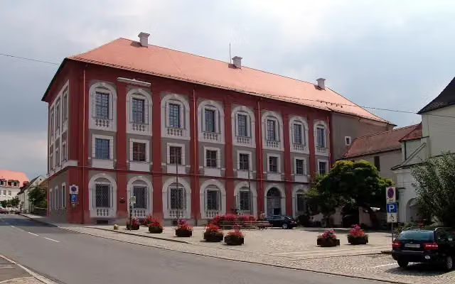
i
Photo: btr · Wikimedia Commons · GFDLView the photo on Wikimedia CommonsCastle
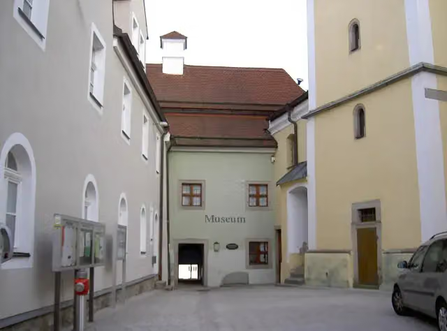
i
Photo: Allexkoch · Wikimedia Commons · CC BY-SA 4.0View the photo on Wikimedia CommonsMuseum

Observation tower
Stages (53)
- 1Goldsteig im Oberpälzer Wald140.2 km
- 2Südroute236.1 km
- 3Nordroute277.3 km
- 4Goldsteig Alternative Nr.1 Waldsassen → Waldmünchen (Nurtschweg)133.6 km
- 5Goldsteig Zuweg Nr.1A Marktredwitz → Kappl24.8 km
- 6Goldsteig Zuweg Nr.1B Waldershof → Walbenreuth4.9 km
- 7Goldsteig Alternative Nr.2 Burgruine Weißenstein → Waldeck → Parkstein → Neustadt a.d.Waldnaab49.2 km
- 8Goldsteig Zuweg Nr.2A Waldeck → Burgruine Weißenstein15.4 km
- 9Goldsteig Zuweg Nr.3A Tirschenreuth → Griesbach12.6 km
- 10Goldsteig Zuweg Nr.3B Tirschenreuth → Falkenberg9.6 km
- 11Goldsteig Zuweg Nr.4 Silberhütte → Plössberg → Neuhaus23.4 km
- 12Goldsteig Zuweg Nr.5 Silberhütte → Wilchenreuth16.1 km
- 13Goldsteig Zuweg Nr.5A Ritzlersreuth → Neustadt a.d.Waldnaab6.9 km
- 14Goldsteig Zuweg Nr.6A Weiden → Wilchenreuth6.4 km
- 15Goldsteig Zuweg Nr.6B Weiden → Muglhof7.3 km
- 16Goldsteig Zuweg Nr.7 Eslarn → Elm31.5 km
- 17Goldsteig Zuweg Nr.8 Wernberg-Köblitz → Pfreimdtal10.4 km
- 18Goldsteig Zuweg Nr.8A Pfreimd → Trausnitz10.2 km
- 19Goldsteig Zuweg Nr.9A Nabburg → Obermurach22 km
- 20Goldsteig Zuweg Nr.9B Oberviechtach → Stadlern22.4 km
- 21Goldsteig Zuweg Nr.9C Katharinenthal12.4 km
- 22Goldsteig Verbindungsweg Nr.9D Oberpfälzer Seenweg71.6 km
- 23Goldsteig Rundweg Nr.10 Waldmünchen16 km
- 24Goldsteig Zuweg Nr.11 Gibacht → Arnschwang13.4 km
- 25Goldsteig Zuweg Nr.11A Arnschwang → Goldsteig2.4 km
- 26Goldsteig Zuweg Nr.11C Steinbruchsee5.2 km
- 27Goldsteig Zuweg Nr.12 Neukirchen beim Heiligen Blut → Diensthütte Hohen Bogen6.3 km
- 28Goldsteig Alternative Nr.1334.8 km
- 29Goldsteig Zuweg Nr.14 Kötzting → Reitenberg6.5 km
- 30Goldsteig Zuweg Nr.15 Arrach → Kaitersberg5.6 km
- 31Goldsteig Zuweg Nr.16 Höbing - Eck2.7 km
- 32Goldsteig Zuweg Nr.17 Drachselried-Heugstatt6.5 km
- 33Goldsteig Zuweg Nr.18 Bodenmais - Chamer Hütte6.1 km
- 34Goldsteig Alternative Nr.1962.4 km
- 35Goldsteig Zuweg Nr.24A Bodenwöhr Nord → Blechhammer4.2 km
- 36Goldsteig Zuweg Nr.24B Bodenwöhr → Birkhof2.3 km
- 37Goldsteig Zuweg Nr.25A Nittenau → Goldsteig9.9 km
- 38Goldsteig Zuweg Nr.25B Nittenau → Waldhaus Einsiedl7.1 km
- 39Goldsteig Zuweg Nr.26 Wiesent → Höllbachtal15.9 km
- 40Goldsteig Rundweg Nr.27A Haibach11.4 km
- 41Goldsteig Zuweg Nr.27D Elisabethszell → Maibrunn3.7 km
- 42Goldsteig Zuweg Nr.28 Viechtach → Pröller11.2 km
- 43Goldsteig Verbindungsweg Nr.28A Pröller → Arnbruck30.9 km
- 44Goldsteig Zuweg Nr.37 Falkenfels → Riedelhänge2.9 km
- 45Goldsteig Zuweg Nr.38 Hohenwarth → Kaitersberg4.1 km
- 46Goldsteig Zuweg Nr.39 Goldsteig → Grafenwiesen2.6 km
- 47Goldsteig Zuweg Nr.40 Russelabsatz → Datting14.1 km
- 48Goldsteig Zuweg Wiesau - Badeseen3.9 km
- 49Goldsteig Einkehrtour Rötz5.7 km
- 50Goldsteig Verbindungsweg Baierweg106.6 km
- 51Böhmweg54.3 km
- 52Gunthersteig71.3 km
- 53Goldsteig Verbindungsweg Unterer Goldener Steig38 km
About the walking route Goldsteig
Updated on 13 November 2026, with data from OpenStreetMap, the AHN and Copernicus.
Where do you walk?
Goldsteig is a walking route of 812.4 km that starts in Marktredwitz. It does not end where it starts. You start in Marktredwitz and finish in Passau.
Pitstops along the way
Within 100 metres of the route there are 2,436 benches, 68 water fountains and refill points, 133 public toilets, 7 bike pumps and 5 honesty boxes and farm vending machines. The Outdoor Pitstop app navigates you there.
Walks nearby
6- Oberfälzer SeenwegHard · From A to B71.6 km
- Erzweg, Etappe 9: Paulsdorf - TheuernModerate · From A to B16.5 km
- VilstalwanderwegHard · From A to B91.6 km
- Amberg Ringweg (Gelbring)Hard · From A to B56.2 km
- Erzweg, Etappe 10: Theuern - HeimhofHard · From A to B19.6 km
- Erzweg, Etappe 8: Amberg - PaulsdorfModerate · From A to B10.9 km
Sights nearby
Within 10 km of the route, best known first.
- 1
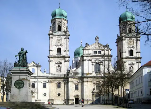 St. Stephen's CathedralAttraction · 461 m from the route
- 2
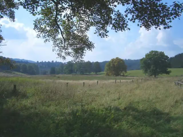 Zaniklá Česká VesAttraction · 726 m from the route
- 3
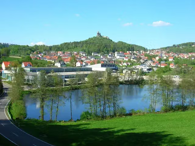 Flossenbürg castle ruinsCastle · 929 m from the route
- 4
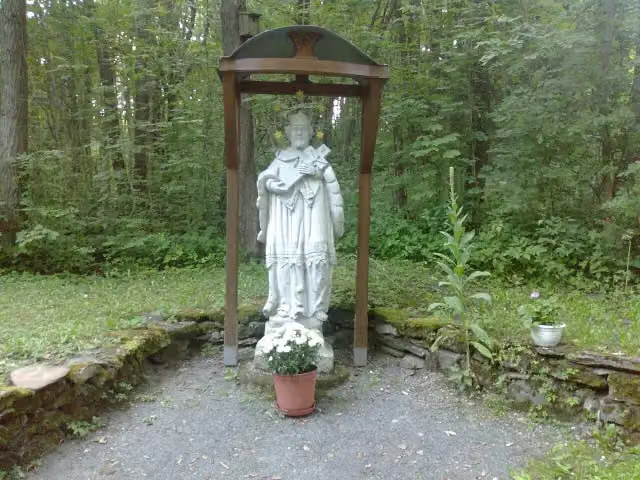 svatý Jan NepomuckýMemorial · 1.4 km from the route
- 5
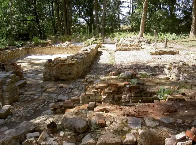 LučinaArchaeological site · 1.6 km from the route
- 6
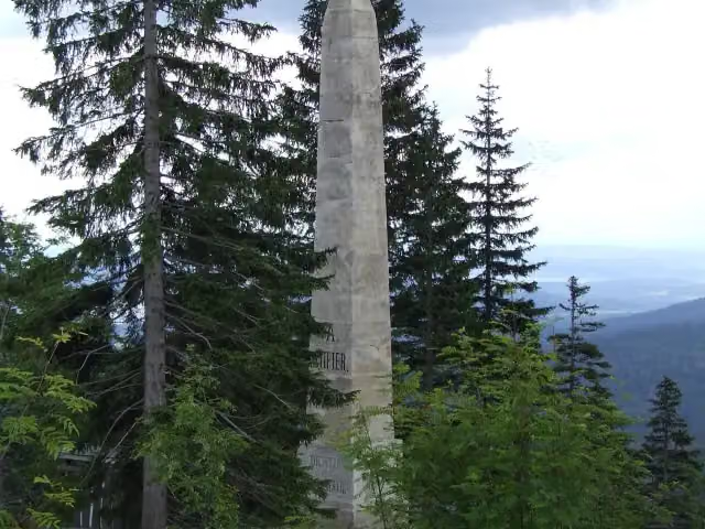 Stifterův památníkMemorial · 1.8 km from the route
- 7
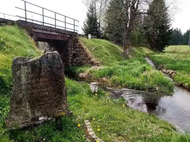 Krajina roku ŠumavaMemorial · 2 km from the route
- 8
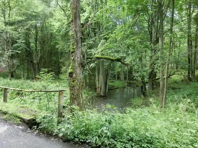 Zaniklá ves HraničkyAttraction · 2.6 km from the route
- 9
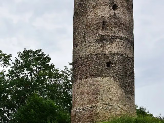 ŠelmberkCastle · 3.1 km from the route
- 10
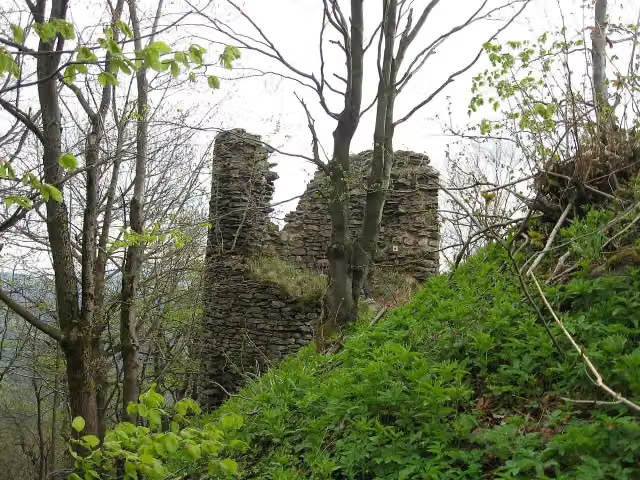 Starý HerštejnCastle · 5.8 km from the route
- 11
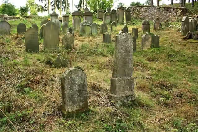 židovský hřbitovRuins · 7.5 km from the route
- 12
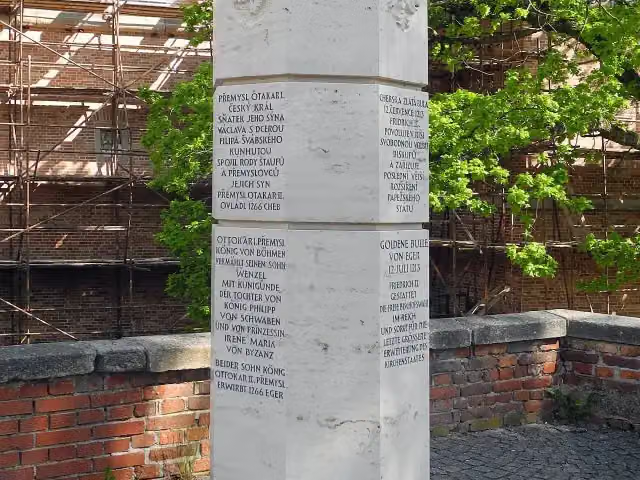 Štaufský sloupMemorial · 8.6 km from the route
- 13
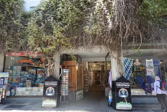 KristallmuseumMuseum · 135 m from the route
- 14
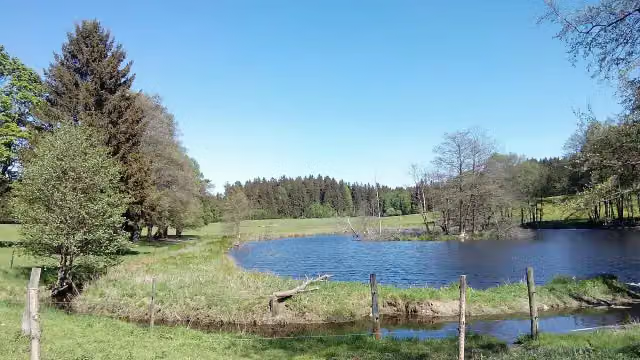 bývalé Zadní ZahájíAttraction · 768 m from the route
- 15
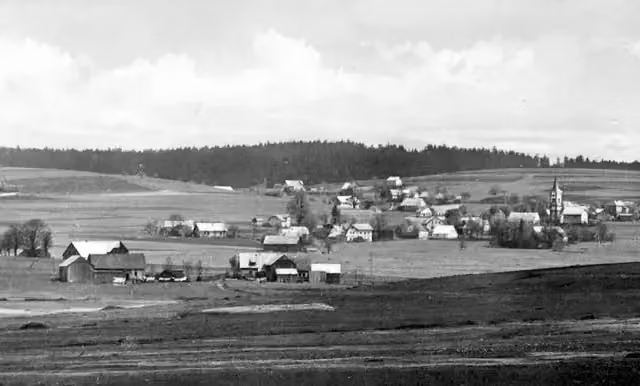 bývalá JedlinaAttraction · 1.1 km from the route
- 16
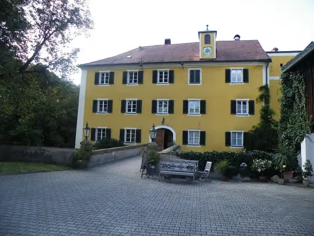 Schloss BodensteinCastle · 1.8 km from the route
- 17
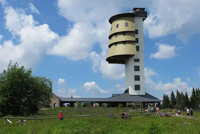 PoledníkObservation tower · 2.5 km from the route
- 18
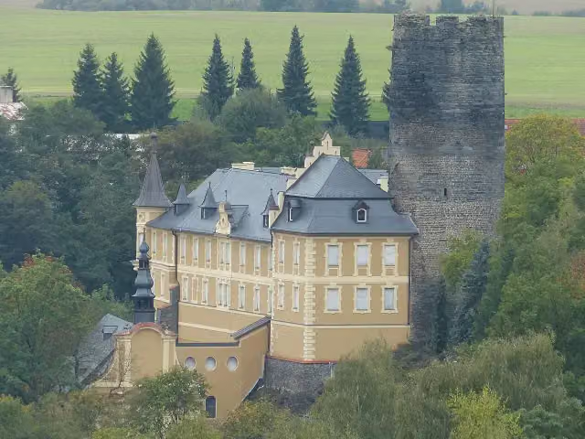 Starý HrozňatovCastle · 4.4 km from the route
- 19
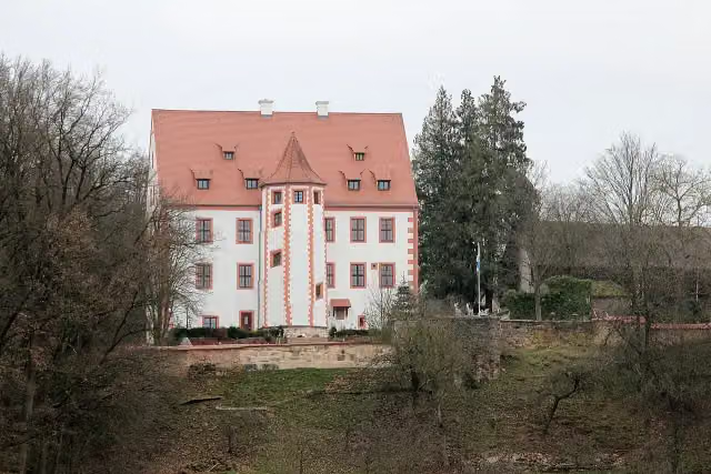 Castle WeihersbergCastle · 4.6 km from the route
- 20
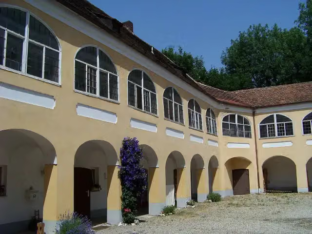 Schloss GeltolfingCastle · 5.1 km from the route
- 21
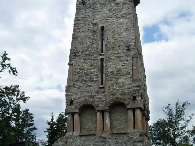 Bismarckova rozhlednaObservation tower · 5.1 km from the route
- 22
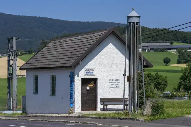 Water MuseumMuseum · 5.8 km from the route
- 23
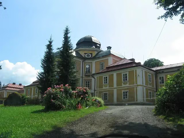 zámek DianaCastle · 7.2 km from the route
- 24
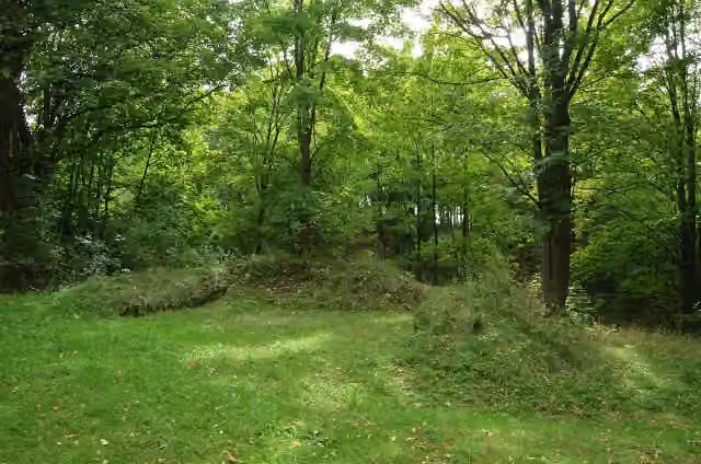 zřícenina hradu BoršengrýnRuins · 7.6 km from the route
- 25
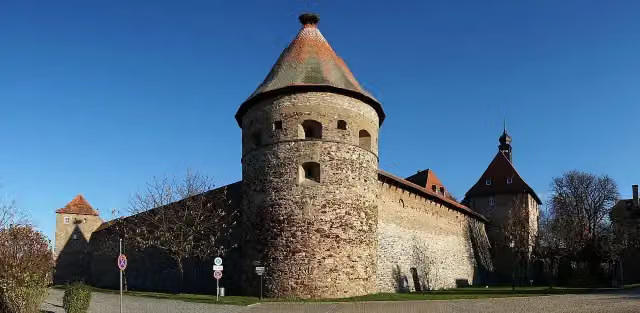 Burg HohenbergCastle · 8.5 km from the route
Explore more
More walks around Marktredwitz
Frequently asked questions
How long is Goldsteig?
Goldsteig is 812.4 km long, split into several parts and stages.
Is this route a circular walk?
No, the route runs from Marktredwitz to Passau.
Where does this route start?
The route starts in Marktredwitz.
Are there toilets along this route?
Yes, there are 133 public toilets within 100 m of the route.
Can you fill up with water along this route?
Yes, there are 68 water fountains and refill points within 100 m of the route.
What is there to see along this route?
Along the way you pass Ruine Weißenstein, Burg Falkenberg and Burgstall Schwarzenschwal.
Can I download this route as a GPX file?
Yes. Sign in with your Outdoor Pitstop account and choose Download GPX at the top of this page: 10 routes a month for free, unlimited with Pro.
Starting point
More routes from this place
Route data © OpenStreetMap contributors





