 Outdoor Pitstop
Walking route · Echt-Susteren · Elen Orange Circle · Updated on 5 November 2026
Elen Oranje bol walk
Elen Oranje bol is a walk of 3 km from Echt-Susteren. Along the way you'll find 2 benches and picnic tables.
The route step by step
From start to finish, with what you pass along the way and the distance in between.
- 3 km
- ± 40 min
- Easy
- From A to B
- Local route
- Colour of the signs
Start in Echt-Susteren
0 km3 km · 2 benches
Finish
3 km
No public toilet along the wayThere is no public toilet within 100 m of the route. Go before you start, or find one a bit further away in the app.
The route with the pitstops and sights within 100 m of it.
Elevation and terrain
Way types
3 km in total- Track: 3 km
Surfaces
3 km in total- Gravel: 3 km
About the walking route Elen Oranje bol
Updated on 5 November 2026, with data from OpenStreetMap and the AHN.
Where do you walk?
Elen Oranje bol is a walking route of 3 km that starts in Echt-Susteren. It does not end where it starts.
How hard is the route?
Allow ± 40 min, without breaks. The level is easy.
What paths do you walk on?
The longest part is track (3 km). Of the surface, 3 km gravel.
Pitstops along the way
Within 100 metres of the route there are 2 benches and picnic tables. There is no public toilet within 100 metres of the route. The Outdoor Pitstop app navigates you there.
Walks nearby
6- Rivierpark Maasvallei LangeafstandswandelingHard · From A to B107.8 km
- Pelgrimspad 2 - 9Moderate · From A to B17.7 km
- RVN 5 - Pe 2 - 09 Sittard station-RoosterenModerate · From A to B18.1 km
- Sittard-Geleen SG4 Grevenbicht langs ObbichtModerate · Circular walk10.2 km
- Via LimburgicaEasy · From A to B4.2 km
- Pelgrimspad 2 - 8Moderate · From A to B16.5 km
Sights nearby
Within 10 km of the route, best known first.
- 1
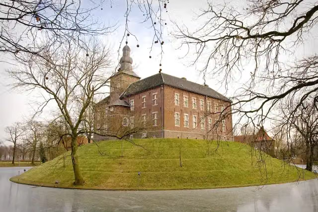 Kasteel LimbrichtCastle · 5.8 km from the route
- 2
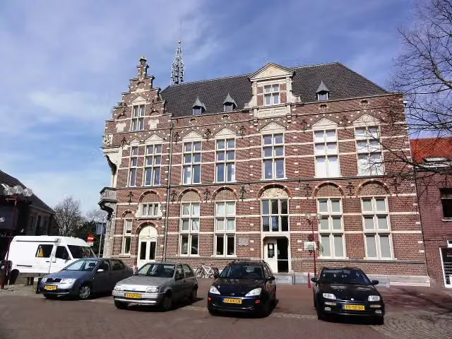 Museum van de VrouwMuseum · 6.8 km from the route
- 3
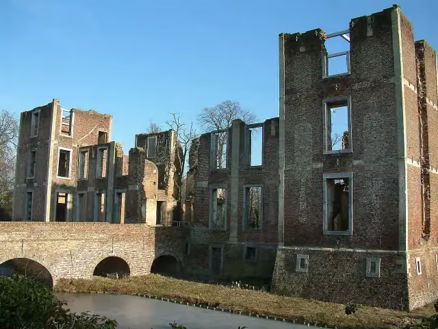 Kasteel BornAttraction · 3.5 km from the route
- 4
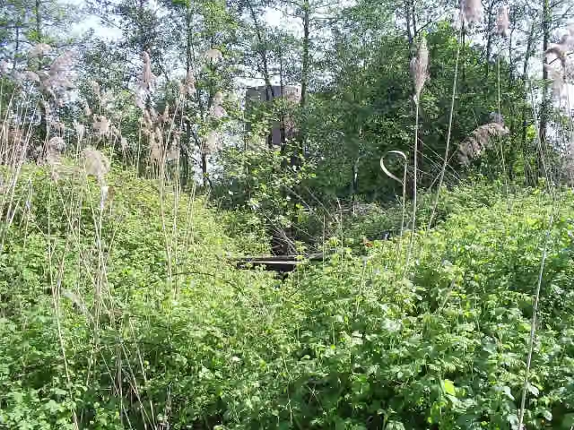 Kasteel MillenCastle · 6.9 km from the route
- 5
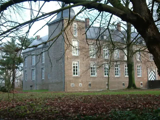 Kasteel WolfrathCastle · 3.1 km from the route
- 6
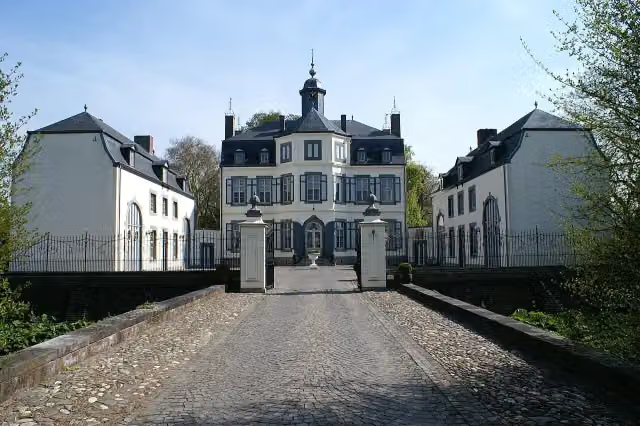 Kasteel ObbichtCastle · 4.1 km from the route
- 7
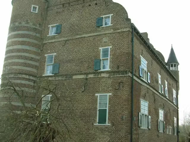 Kasteel GrasbroekCastle · 4.5 km from the route
- 8
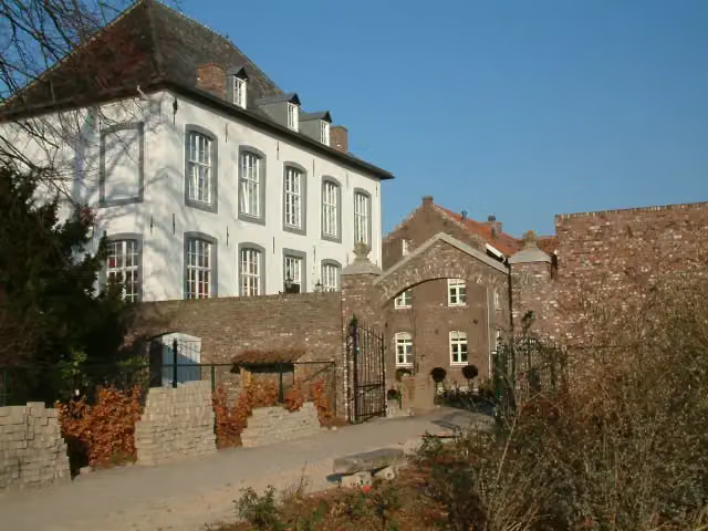 Huize WithamCastle · 5.1 km from the route
- 9
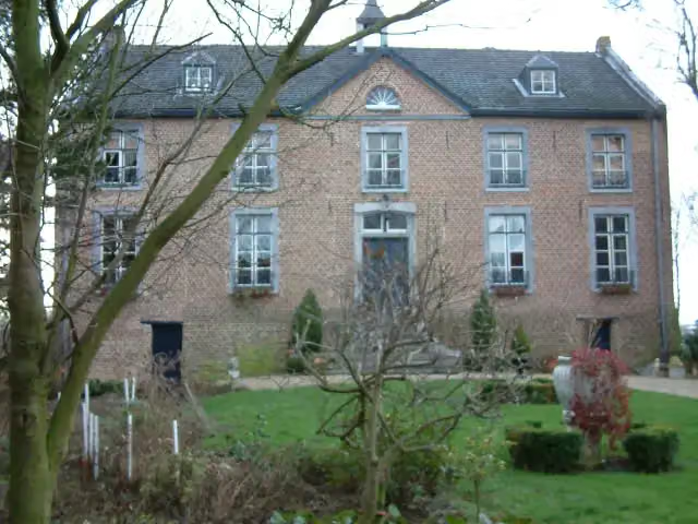 Huize HoltumCastle · 2.2 km from the route
- 10
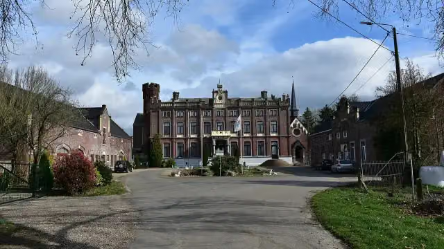 Kasteel SipernauCastle · 2.1 km from the route
- 11
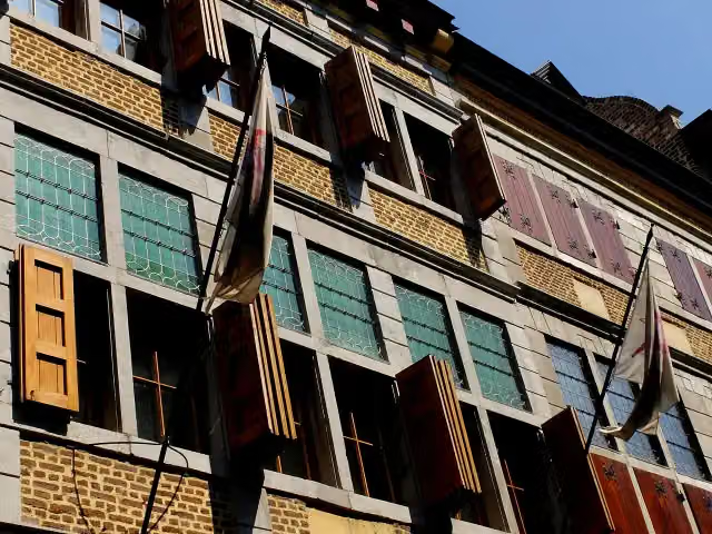 ApotheekmuseumMuseum · 3.4 km from the route
- 12
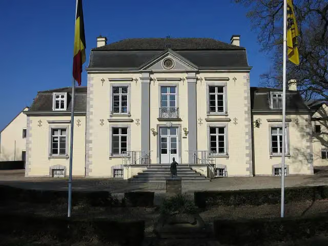 Gemeentehuis Dilsen-StokkemCastle · 3.7 km from the route
- 13
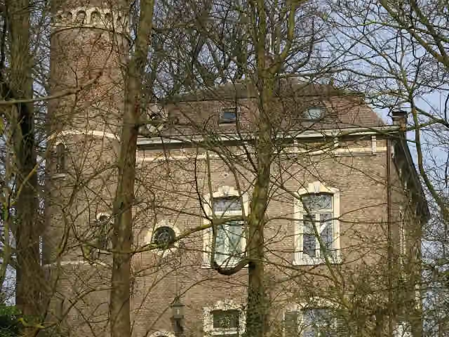 Kasteel CarolinabergCastle · 4.3 km from the route
- 14
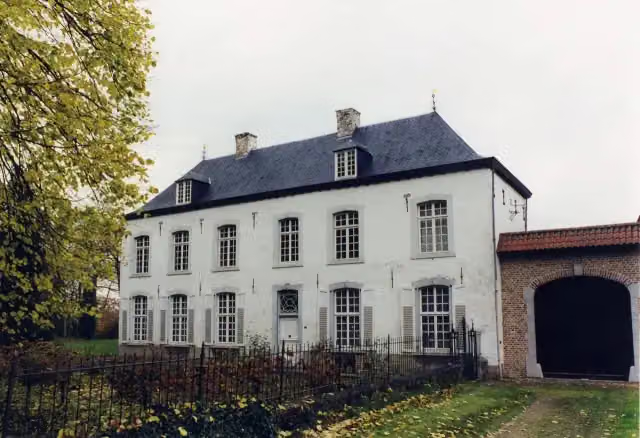 NieuwenhofCastle · 5.8 km from the route
- 15
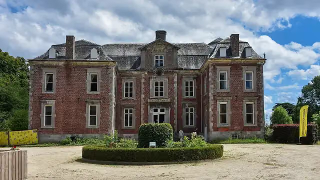 Kasteel Vilain XIIIICastle · 7.2 km from the route
- 16
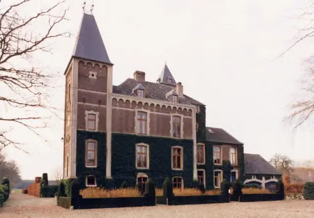 Kasteel De Oude KuilCastle · 7.5 km from the route
- 17
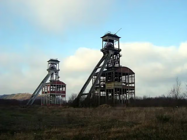 Schachtbok 2 Steenkoolmijn EisdenObservation tower · 7.6 km from the route
- 18
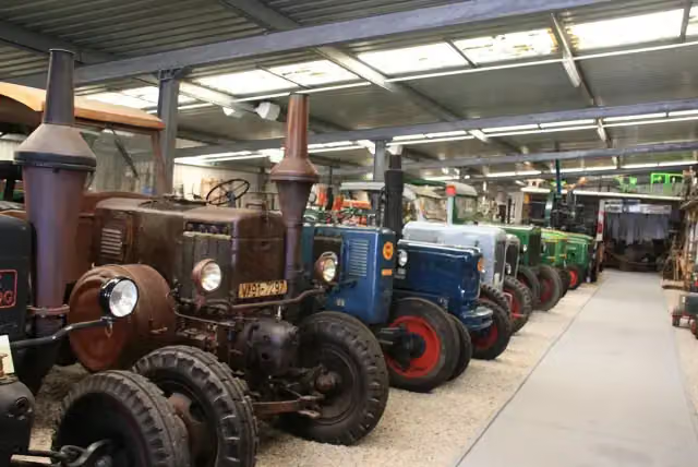 Bauernmuseum SelfkantMuseum · 8.5 km from the route
- 19
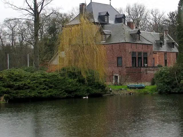 Kasteel De SchansCastle · 9 km from the route
- 20
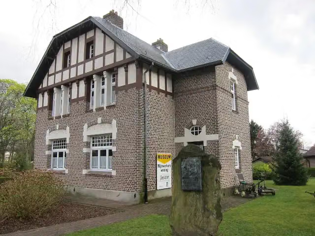 Museum van de MijnwerkerswoningMuseum · 9.2 km from the route
- 21
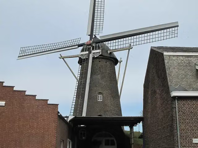 LemmensmolenAttraction · 9.3 km from the route
- 22
 Kasteel OmmersteinCastle · 2.2 km from the route
- 23Regionaal Archeologisch MusuemMuseum · 3.4 km from the route
- 24Uitkijktoren Nenenoord-KerkeweerdObservation tower · 3.9 km from the route
- 25Stoel van SwentiboldAttraction · 4.8 km from the route
Explore more
Frequently asked questions
How long is Elen Oranje bol?
Elen Oranje bol is 3 km long. Allow ± 40 min of walking: 4.5 km an hour and 10 minutes more per 100 metres of climbing, without breaks.
Is this route a circular walk?
No, the route starts and ends at different spots.
Where does this route start?
The route starts in Echt-Susteren.
How hard is this route?
Easy.
Are there toilets along this route?
No, there is no public toilet within 100 m of the route. Go before you start.
Can you fill up with water along this route?
No, there is no water point within 100 m of the route. Bring enough water.
Starting point
More routes from this place
Route data © OpenStreetMap contributors





