 Outdoor Pitstop
Walking route · Renswoude · Updated on 13 November 2026
Klompenpad Daatselaarsepad walk
Klompenpad Daatselaarsepad is a walk of 11.1 km from Renswoude that starts and ends at the same spot. Along the way you'll find 27 benches and 1 public toilet.
i
i
i
The route step by step
From start to finish, with what you pass along the way and the distance in between.
- 11.1 km
- ± 2:30 h
- ↑ 0 m · ↓ 0 m
- Moderate
- Circular walk
- Local route
This route is in pieces in OpenStreetMap, so there are no kilometres per pitstop. Along the way you'll find 27 benches and 1 public toilet.
Follow these steps in the appThe route with the pitstops and sights within 100 m of it.
3 sights along the way
In the order you pass them. With the Outdoor Pitstop app you hear their story on the spot.
- Audio story · 2 min
i
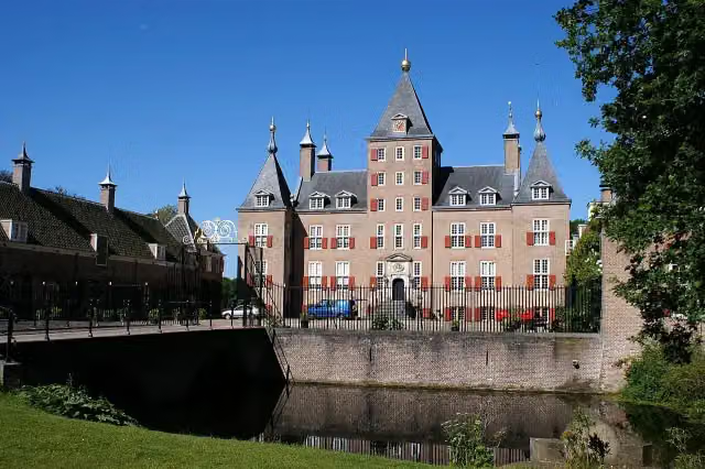
Photo: Kasteelbeer · Wikimedia Commons · CC BY-SA 3.0 nlView the photo on Wikimedia CommonsKasteel Renswoude
Castle
Elevation and terrain
- Up
- ↑ 0 m
- Down
- ↓ 0 m
- Highest point
- 10 m
- Lowest point
- 6 m
Nowhere steeper than 5%.
Elevation from AHN (Rijkswaterstaat), smoothed.
Way types
11.1 km in total- Path: 5.1 km
- Road: 2.4 km
- Track: 1.9 km
- Footpath: 1 km
- Street: 425 m
- Cycleway: 179 m
Surfaces
11.1 km in total- Unpaved: 4.1 km
- Gravel: 2.6 km
- Asphalt: 2.3 km
- Natural: 275 m
- Paved: 53 m
- Unknown: 1.8 km
About the walking route Klompenpad Daatselaarsepad
Updated on 13 November 2026, with data from OpenStreetMap, the AHN and Copernicus.
Where do you walk?
Klompenpad Daatselaarsepad is a circular walk of 11.1 km from Renswoude: it starts and ends in the same place.
How hard is the route?
The route is almost flat. You climb 0 m in total and descend 0 m. Allow ± 2:30 h, without breaks. The level is moderate.
What paths do you walk on?
The longest part is path (5.1 km), road (2.4 km) and track (1.9 km). Of the surface, 4.1 km unpaved and 2.6 km gravel. For 1.8 km the surface is not known.
Pitstops along the way
Within 100 metres of the route there are 27 benches and 1 public toilet. The Outdoor Pitstop app navigates you there.
Daatselaarsepad: a local walking route of 11 km
Daatselaarsepad is a local walking route of 11 km. It is a circular route, so you start and finish in the same place. On this page you will find everything about the klompenpad Daatselaarsepad, so you can plan your walk well. The route is shown on the map, and you can view the elevation profile. The pit stops along the way are also marked: the public toilets, the drinking water and the benches. That way you know in advance where you can take a break.
Surface and elevation on the Daatselaarsepad
The route is mainly on soft ground. Of the 11 km, 44% is unpaved and 28% is gravel. Asphalt is the least common surface, at 24% of the route, so for much of the walk you are not on a hard road. The type of path is also varied. Nearly half of the distance, 46%, runs along a footpath. For 22% of the route you follow a road, and for 17% a field track or forest track. Pavements are also present, but they cover only 9% of the route. We cannot say anything about the elevation change here, as we have no data on it. For that, see the elevation profile on this page.
Pit stops and points of interest along the way
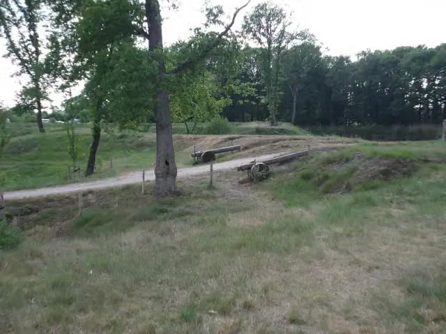
Along the route you will find 1 public toilet and 27 benches, so there are plenty of places to sit down for a moment. There are also a few points of interest along the way. You pass the Werk aan de Daatselaar and the Voorwerk aan de Engelaar, both forts, and Kasteel Renswoude is also on the route. Plan your breaks carefully, as there is plenty to see along the way.
Walks nearby
6- BreeschoterpadEasy · From A to B6.4 km
- JufferpadModerate · Circular walk15.7 km
- Grebbeliniepad - 06 - Werk aan de Daatselaar-De GroepEasy · From A to B7 km
- Utrechtpad etappe 6Moderate · From A to B18.5 km
- NederwoudsepadModerate · Circular walk13.9 km
- Grebbeliniepad - 05 - Roode Haan-Werk aan de DaatselaarEasy · From A to B7.9 km
Sights nearby
Within 10 km of the route, best known first.
- 1
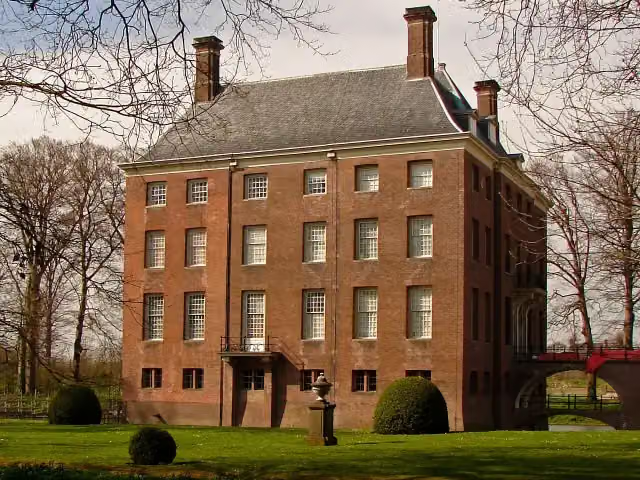 Kasteel AmerongenCastle · 8.6 km from the route
- 2
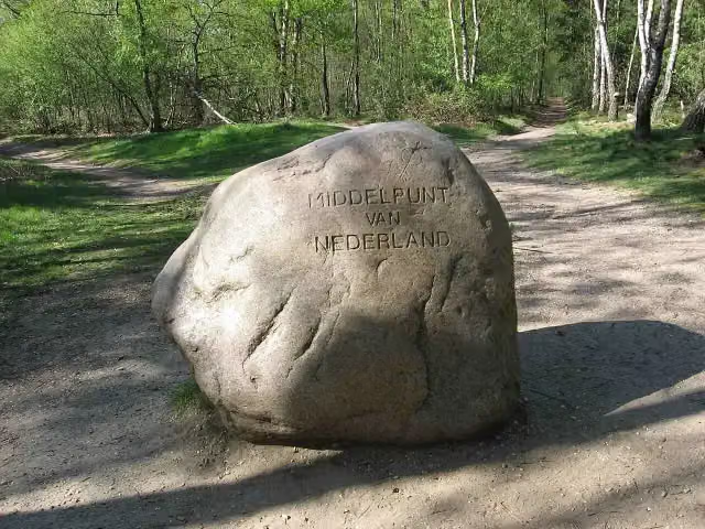 Middelpunt van NederlandViewpoint · 6.1 km from the route
- 3
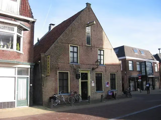 Nairac MuseumMuseum · 6.3 km from the route
- 4
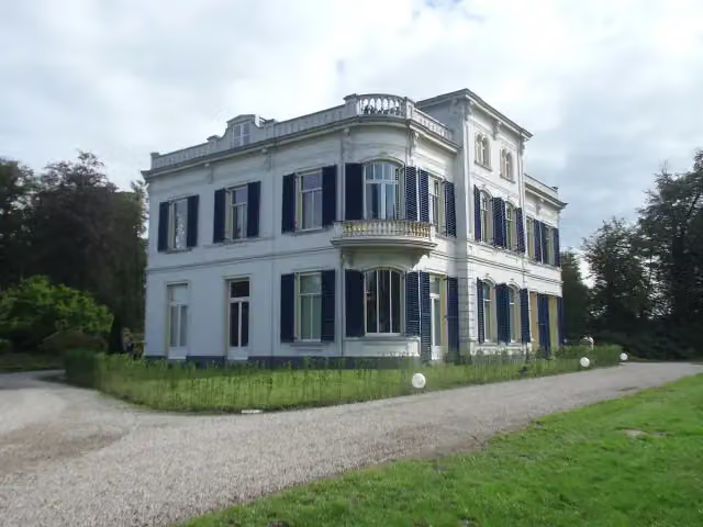 De BoomCastle · 7.4 km from the route
- 5
 Nederlands PluimveemuseumMuseum · 6 km from the route
- 6
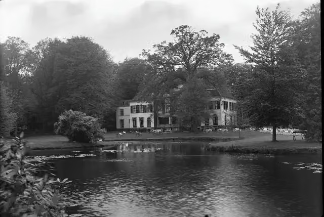 Huize Den TreekCastle · 9.4 km from the route
- 7
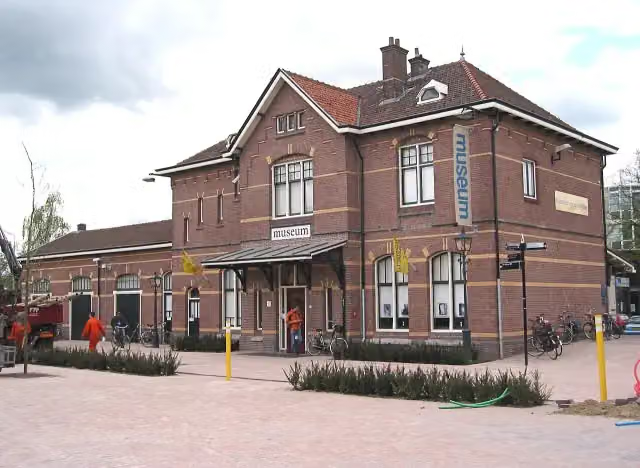 Historisch Museum EdeMuseum · 7.8 km from the route
- 8
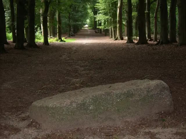 Blood StoneAttraction · 7.9 km from the route
- 9
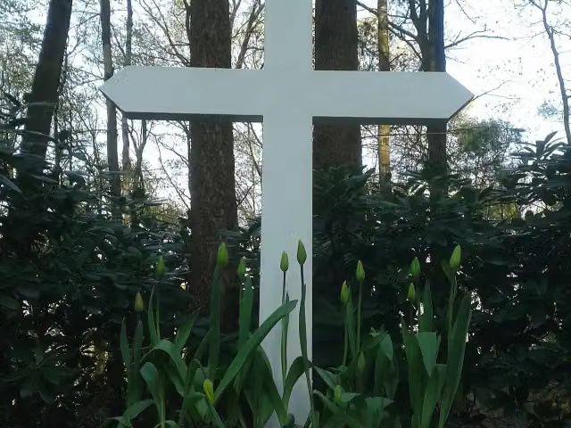 Het kruis op de bergMemorial · 6.8 km from the route
- 10
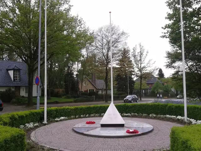 Bevrijdingsmonument EdeMemorial · 8.7 km from the route
- 11
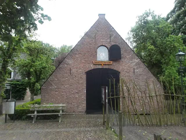 TabaksteeltmuseumMuseum · 8.2 km from the route
- 12
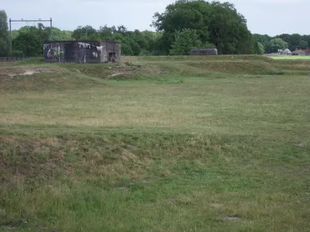 Linie van JuffrouwwijkFort · 1.6 km from the route
- 13
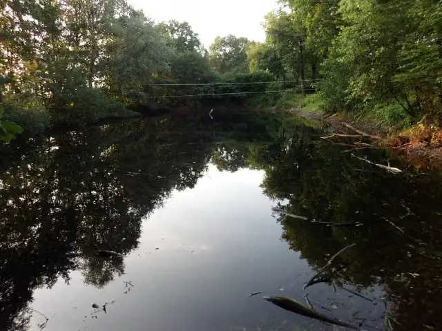 Fort aan de Buursteeg NoordFort · 2.3 km from the route
- 14
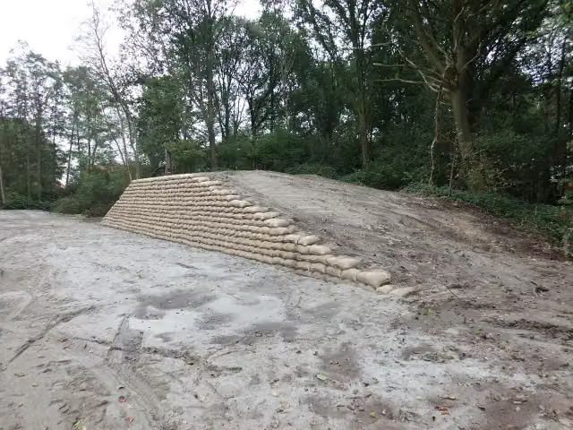 Voorwerk op de AsschatterkeerkadeFort · 6.9 km from the route
- 15
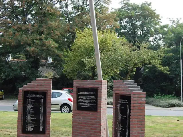 Monument voor BombardementsslachtoffersMemorial · 8.6 km from the route
- 16
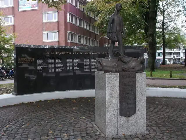 Monument voor de GevallenenMemorial · 5.1 km from the route
- 17
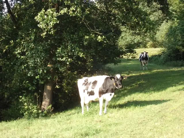 Batterij op den SchalmdijkFort · 1.8 km from the route
- 18
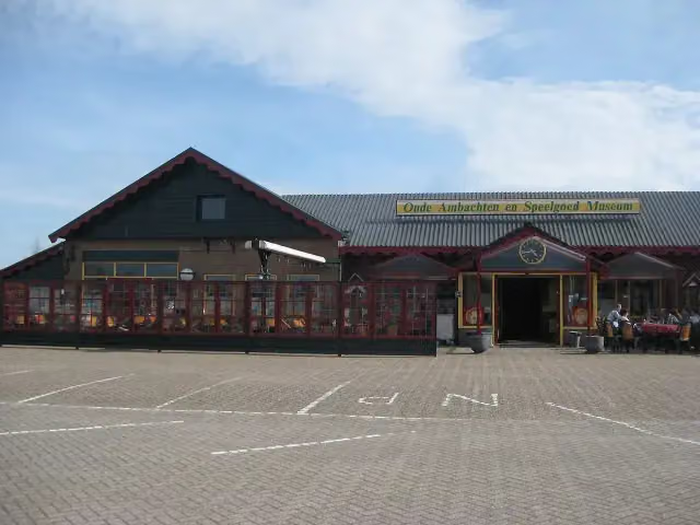 Old Crafts & Toys MuseumMuseum · 9.3 km from the route
- 19
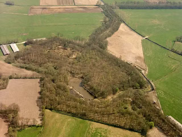 FortFort · 179 m from the route
- 20
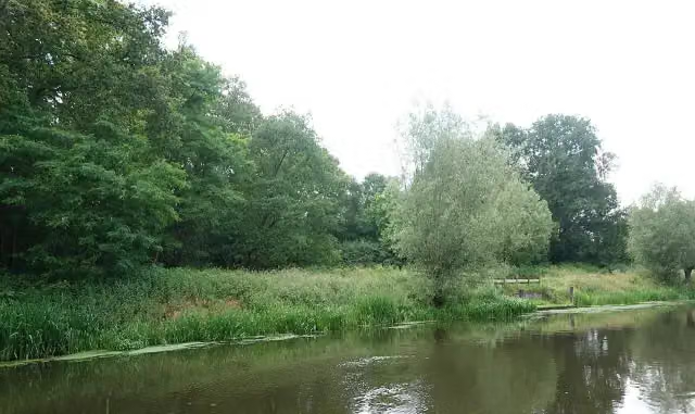 Werk aan de Roode HaanFort · 2.5 km from the route
- 21
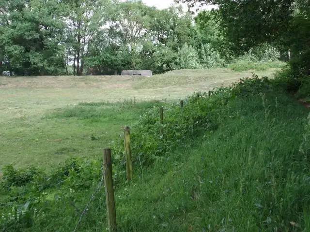 Fort aan de Buursteeg ZuidFort · 2.5 km from the route
- 22
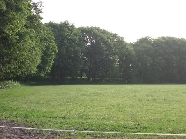 Voorwerk op de RoffelaarskadeFort · 4.8 km from the route
- 23
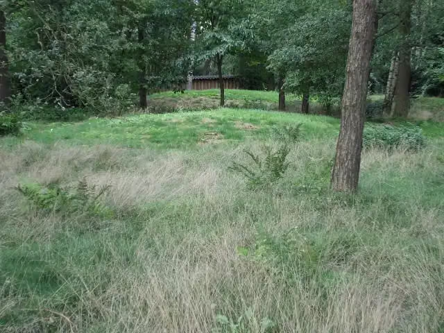 Archaeological siteArchaeological site · 6.9 km from the route
- 24
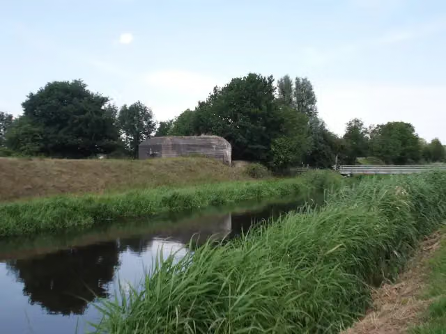 Museumbunker GrebbelinieMuseum · 7 km from the route
- 25
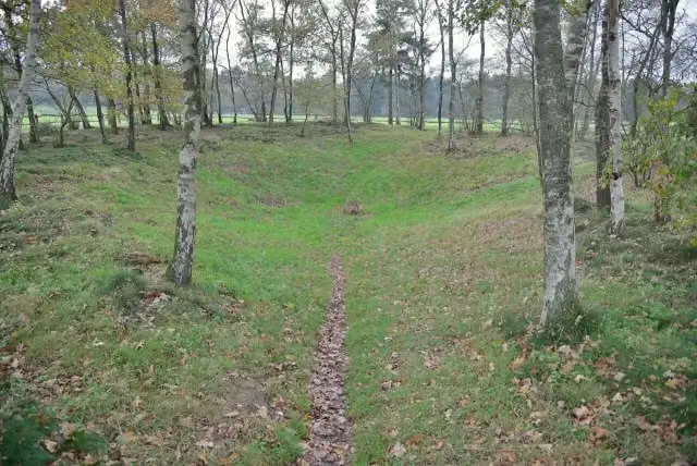 De Germaanse PutArchaeological site · 7 km from the route
Explore more
Frequently asked questions
How long is the Daatselaarsepad klompenpad walk?
The Daatselaarsepad is 11 km long. It is a local walking route.
Is the Daatselaarsepad klompenpad walk a circular route?
Yes, the Daatselaarsepad is a circular route. You start and finish in the same place.
What surfaces does the Daatselaarsepad klompenpad walk have?
44% of the route is unpaved, 28% is gravel and 24% is asphalt.
How many benches and toilets are there along the Daatselaarsepad klompenpad walk?
There are 27 benches along the route and 1 public toilet.
What points of interest can you see on the Daatselaarsepad klompenpad walk?
Along the way you pass Werk aan de Daatselaar (fort), Kasteel Renswoude (kasteel) and Voorwerk aan de Engelaar (fort).
What types of path does the Daatselaarsepad klompenpad walk follow?
46% of the route is path, 22% is road, 17% is field or forest track and 9% is footpath.
Starting point
More routes from this place
Route data © OpenStreetMap contributors





