 Outdoor Pitstop
Walking route · Wustermark · Updated on 14 November 2026
66-Seen-Wanderweg walk
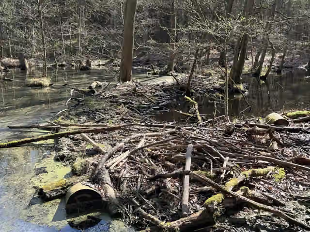
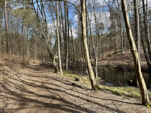
66-Seen-Wanderweg is a walk of 107 km from Wustermark that starts and ends at the same spot. Along the way you'll find 144 benches, 1 water point, 4 public toilets, 5 bike pumps and 1 honesty box.
i
i
i
The route step by step
From start to finish, with what you pass along the way and the distance in between.
- 107 km
- ± 24:20 h
- ↑ 322 m · ↓ 324 m
- Hard
- Circular walk
- Regional route
This route is in pieces in OpenStreetMap, so there are no kilometres per pitstop. Along the way you'll find 144 benches, 1 water point, 4 public toilets, 5 bike pumps and 1 honesty box.
Follow these steps in the appThe route with the pitstops and sights within 100 m of it.
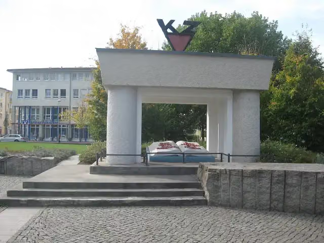
1 sight along the way
In the order you pass them. With the Outdoor Pitstop app you hear their story on the spot.
i
Photo: Jumbo1435 · Wikimedia Commons · CC BY-SA 3.0View the photo on Wikimedia CommonsMemorial
Elevation and terrain
- Up
- ↑ 322 m
- Down
- ↓ 324 m
- Highest point
- 108 m
- Lowest point
- 30 m
- 10-15% slope · 538 m
- 6 stairs
Elevation from Copernicus GLO-30 (European Union and ESA), smoothed.
produced using Copernicus WorldDEM-30 © DLR e.V. 2010-2014 and © Airbus Defence and Space GmbH 2014-2018 provided under COPERNICUS by the European Union and ESA; all rights reserved
Way types
107 km in total- Track: 51 km
- Street: 22.2 km
- Path: 20.5 km
- Footpath: 6 km
- Road: 3.6 km
- Busy road: 3.2 km
- Stairs: 6 stairs
Surfaces
107 km in total- Unpaved: 28.4 km
- Asphalt: 28 km
- Gravel: 24.5 km
- Paved: 10.7 km
- Natural: 8.9 km
- Unknown: 6.1 km
About the walking route 66-Seen-Wanderweg
Updated on 14 November 2026, with data from OpenStreetMap, the AHN and Copernicus.
Where do you walk?
66-Seen-Wanderweg is a circular walk of 107 km from Wustermark: it starts and ends in the same place.
How hard is the route?
You climb 322 m in total and descend 324 m. There are 6 flights of steps along the way. Allow ± 24:20 h, without breaks. The level is hard.
What paths do you walk on?
The longest part is track (51 km), street (22.2 km) and path (20.5 km). Of the surface, 28.4 km unpaved and 28 km asphalt. For 6.1 km the surface is not known.
Pitstops along the way
Within 100 metres of the route there are 144 benches, 1 water point, 4 public toilets, 5 bike pumps and 1 honesty box. The Outdoor Pitstop app navigates you there.
Part of 66-Seen-Wanderweg
Website of the routeWalks nearby
5Sights nearby
Within 10 km of the route, best known first.
- 1
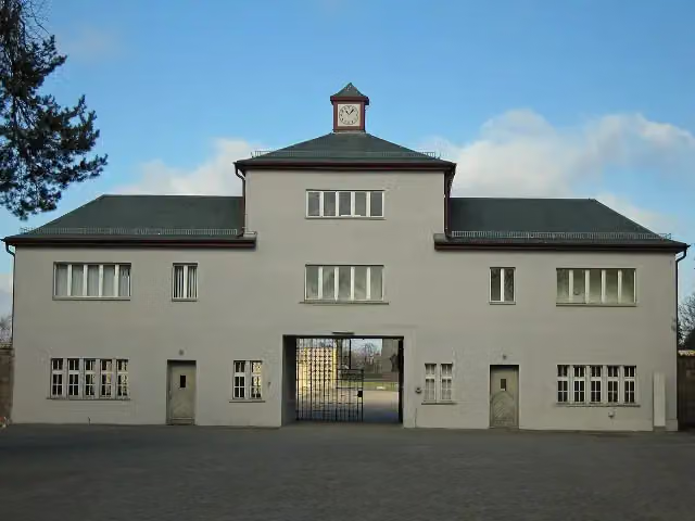 Memorial SachsenhausenMuseum · 7 km from the route
- 2
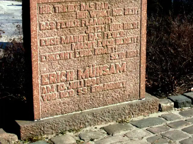 KZ OranienburgMemorial · 5.9 km from the route
- 3
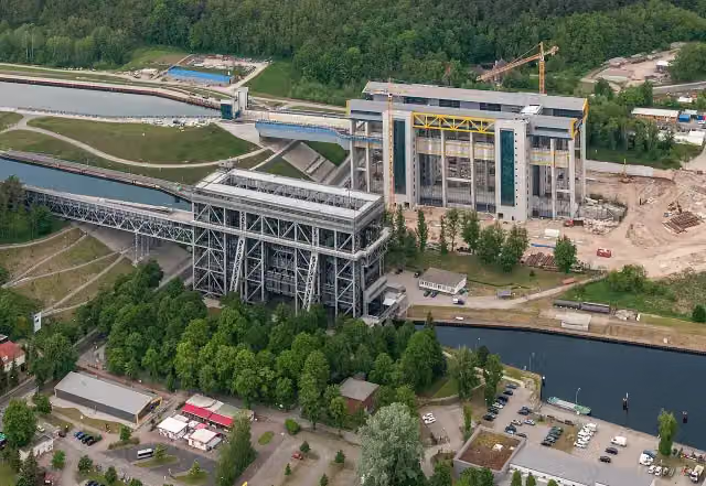 Boat Lift NiederfinowAttraction · 7.8 km from the route
- 4
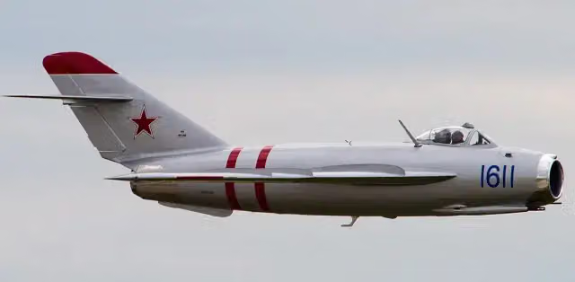 Mikojan-Gurewitsch MiG-17 „Fresco-C“Attraction · 6.4 km from the route
- 5
 Fire Departnent Museum BerlinMuseum · 7.2 km from the route
- 6
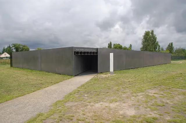 Museum "Sowjetisches Speziallager"Museum · 7.4 km from the route
- 7
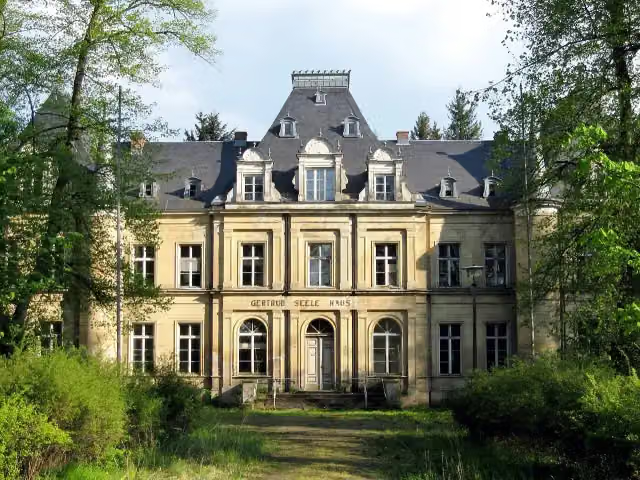 Schloss LankeCastle · 140 m from the route
- 8
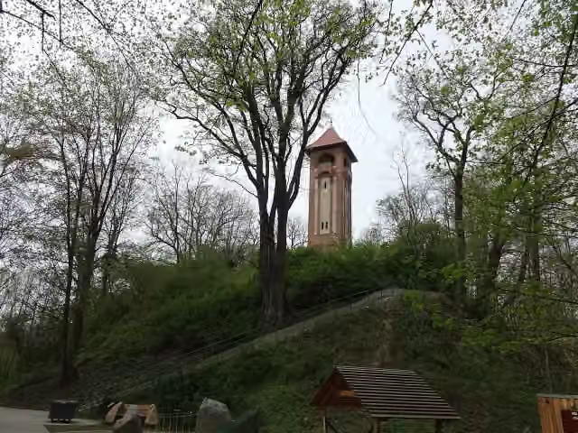 Kaiser-Friedrich-TurmObservation tower · 392 m from the route
- 9
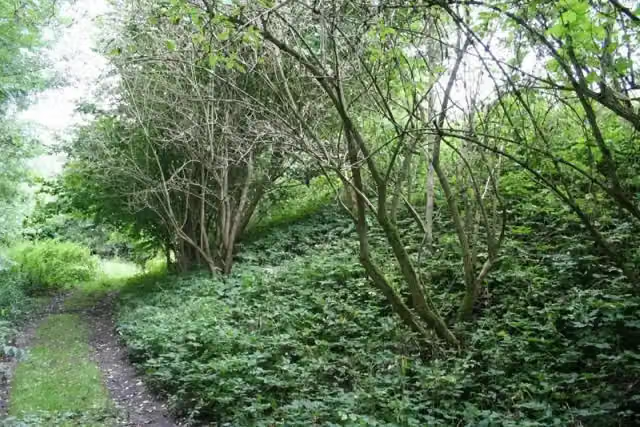 Burg BiesenthalCastle · 406 m from the route
- 10
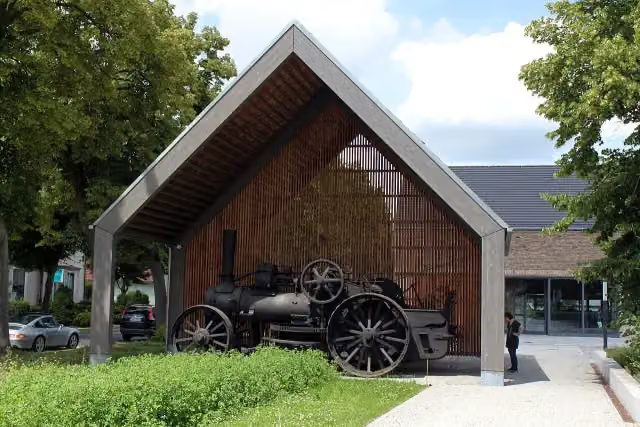 BARNIM PANORAMA Naturparkzentrum Agrarmuseum WandlitzMuseum · 1.2 km from the route
- 11
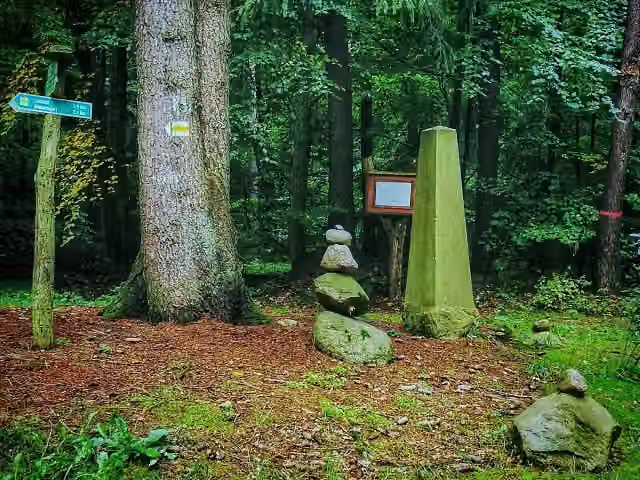 PrinzensteinMemorial · 1.8 km from the route
- 12
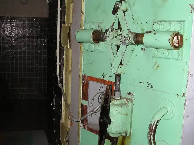 Object 17/5001 Primary control center for the East German National Defence CouncilAttraction · 2.1 km from the route
- 13
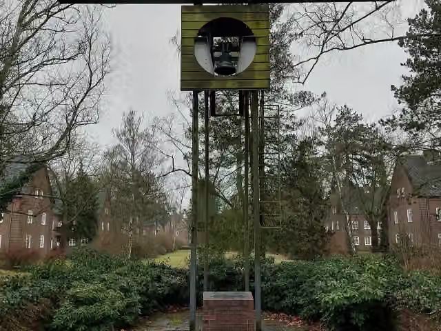 Oberst Wilhelm StaehleMemorial · 3.1 km from the route
- 14
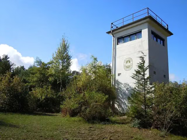 Naturschutzturm BergfeldeObservation tower · 3.3 km from the route
- 15
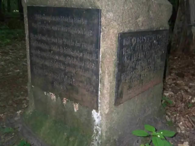 KronprinzenbucheMemorial · 3.5 km from the route
- 16
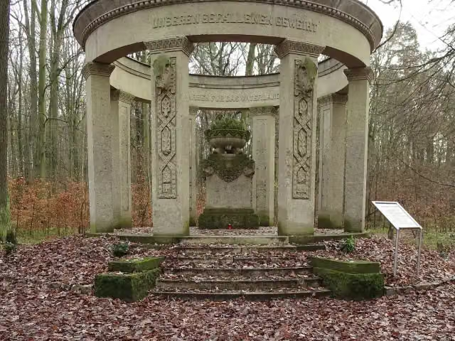 HeldenhainMonument · 4 km from the route
- 17
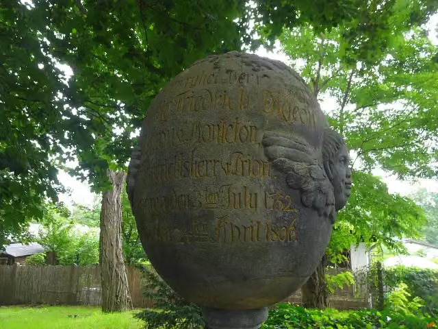 Jean Louis Frederic Digeon von MontetonMemorial · 4.1 km from the route
- 18
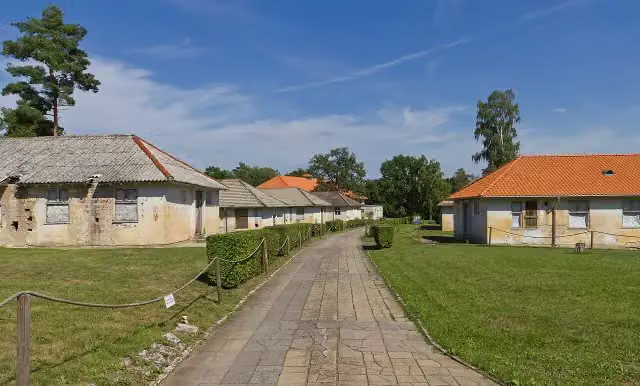 1936 Olympic VillageAttraction · 4.1 km from the route
- 19
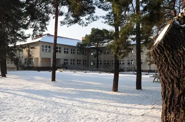 WaldschuleMonument · 4.4 km from the route
- 20
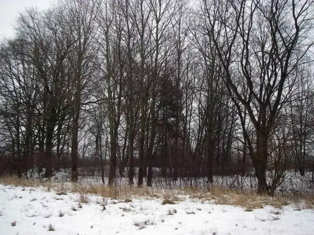 Burgwall LeegebruchArchaeological site · 4.5 km from the route
- 21
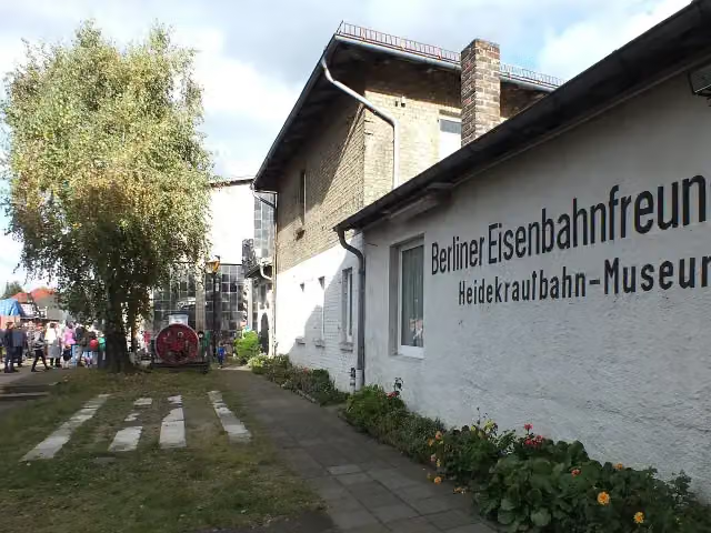 Heidekrautbahn MuseumMuseum · 4.6 km from the route
- 22
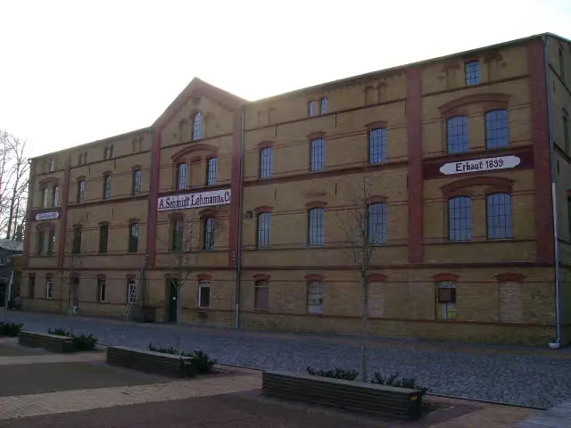 Ofen- und KeramikmuseumMuseum · 4.6 km from the route
- 23
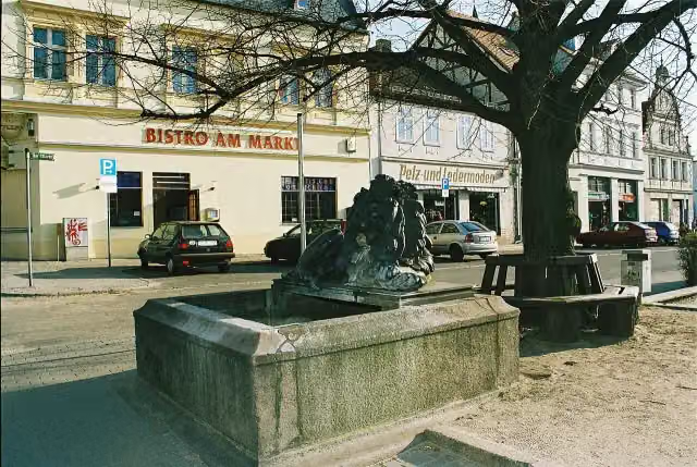 LöwenbrunnenAttraction · 4.7 km from the route
- 24
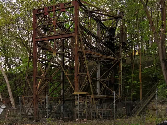 Waggonaufzug EberswaldeRuins · 4.8 km from the route
- 25
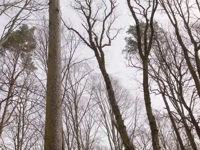 Burgsdorff-LärcheAttraction · 4.8 km from the route
Explore more
More walks around Wustermark
Frequently asked questions
How long is 66-Seen-Wanderweg?
66-Seen-Wanderweg is 107 km long. Allow ± 24:20 h of walking: 4.5 km an hour and 10 minutes more per 100 metres of climbing, without breaks.
Is this route a circular walk?
Yes, the route starts and ends at the same spot.
Where does this route start?
The route starts in Wustermark.
How hard is this route?
Hard, with 322 m of climbing.
Are there toilets along this route?
Yes, there are 4 public toilets within 100 m of the route.
Can you fill up with water along this route?
Yes, there are 1 water point within 100 m of the route.
What is there to see along this route?
Along the way you pass Ehrenmal für die Opfer des Faschismus (OdF).
Can I download this route as a GPX file?
Yes. Sign in with your Outdoor Pitstop account and choose Download GPX at the top of this page: 10 routes a month for free, unlimited with Pro.
Starting point
More routes from this place
Route data © OpenStreetMap contributors





