 Outdoor Pitstop
Walking route · Utrechtse Heuvelrug · Updated on 13 November 2026
Klompenpad Cotlandenpad walk
Klompenpad Cotlandenpad is a walk of 11.7 km from Utrechtse Heuvelrug that starts and ends at the same spot. Along the way you'll find 16 benches and 1 water point.
i
The route step by step
From start to finish, with what you pass along the way and the distance in between.
- 11.7 km
- ± 2:40 h
- ↑ 16 m · ↓ 17 m
- Moderate
- Circular walk
- Local route
This route is in pieces in OpenStreetMap, so there are no kilometres per pitstop. Along the way you'll find 16 benches and 1 water point.
Follow these steps in the appNo public toilet along the wayThere is no public toilet within 100 m of the route. Go before you start, or find one a bit further away in the app.
The route with the pitstops and sights within 100 m of it.
1 sight along the way
In the order you pass them. With the Outdoor Pitstop app you hear their story on the spot.
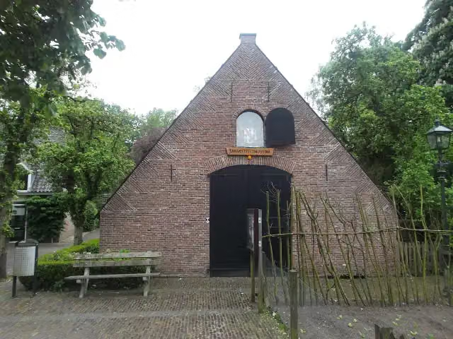
Tabaksteeltmuseum
Museum
Elevation and terrain
- Up
- ↑ 16 m
- Down
- ↓ 17 m
- Highest point
- 18 m
- Lowest point
- 5 m
- 1 flight of stairs
Elevation from AHN (Rijkswaterstaat), smoothed.
Way types
11.7 km in total- Path: 6.9 km
- Road: 1.6 km
- Track: 1.2 km
- Street: 872 m
- Busy road: 790 m
- Footpath: 250 m
- Cycleway: 50 m
- Stairs: 1 flight of stairs
Surfaces
11.7 km in total- Unpaved: 4.6 km
- Paved: 2.4 km
- Gravel: 1.5 km
- Asphalt: 1.1 km
- Natural: 25 m
- Unknown: 2.1 km
About the walking route Klompenpad Cotlandenpad
Updated on 13 November 2026, with data from OpenStreetMap, the AHN and Copernicus.
Where do you walk?
Klompenpad Cotlandenpad is a circular walk of 11.7 km from Utrechtse Heuvelrug: it starts and ends in the same place.
How hard is the route?
The route is almost flat. You climb 16 m in total and descend 17 m. There is 1 flight of steps along the way. Allow ± 2:40 h, without breaks. The level is moderate.
What paths do you walk on?
The longest part is path (6.9 km), road (1.6 km) and track (1.2 km). Of the surface, 4.6 km unpaved and 2.4 km paved. For 2.1 km the surface is not known.
Pitstops along the way
Within 100 metres of the route there are 16 benches and 1 water point. There is no public toilet within 100 metres of the route. The Outdoor Pitstop app navigates you there.
Klompenpad Cotlandenpad walk: a 12 km route
The klompenpad Cotlandenpad walk is a local walking route of 12 km. It is a circular route, so you start and finish in the same place. Along the way you climb 16 m in total and descend 17 m, so the height difference is small. On this page you can see the route on the map and view the elevation profile. The pit stops along the way are also shown: public toilets, drinking water and benches. That way you know in advance where you can take a break along the route.
Surface and elevation change
On this route you mostly walk over soft ground. Of all the kilometres, 48% is unpaved. In addition, 26% is paved, 15% gravel and 11% asphalt. So for a large part of the route you are not walking on stone or asphalt. The type of path also shows that you walk a lot on narrow trails: 64% of the route is footpath. Furthermore, 15% is road, 11% is farm or forest track and 8% is street. Over the 12 km you climb only 16 m. That means you do little climbing and the route is easy to walk. After rain, the unpaved sections can be wet or muddy, so wear shoes that can cope with a wet surface.
Pitstops and sights along the way
Along the route there are 16 benches where you can stop for a rest, and 1 water tap, so you can refill your bottle as you go. The map shows exactly where these spots are, so you can plan your breaks in advance. The Tabaksteeltmuseum lies along the route. This museum is a good reason to pause your walk for a while. You pass it on the way, so you don't need to make a detour. If you prefer to split the walk into shorter stages, combine a rest on one of the benches with a stop at the museum.
Walks nearby
6- Trekvogelpad - 13Moderate · From A to B17 km
- TVP 13 Alternatieve route broedseizoen en met hondEasy · From A to B4.7 km
- Trekvogelpad - 14Moderate · From A to B17.1 km
- GalgenbergrouteEasy · Circular walk8.3 km
- Utrechtpad etappe 4Moderate · From A to B13.6 km
- Maarten van Rossumpad - 7Moderate · From A to B17 km
Sights nearby
Within 10 km of the route, best known first.
- 1
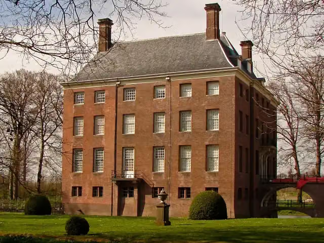 Kasteel AmerongenCastle · 137 m from the route
- 2
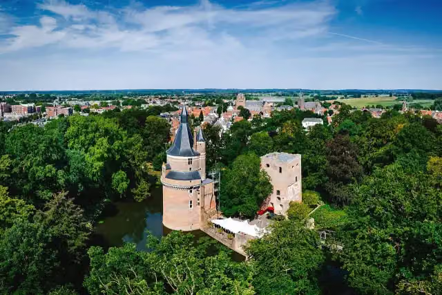 Duurstede CastleCastle · 6 km from the route
- 3
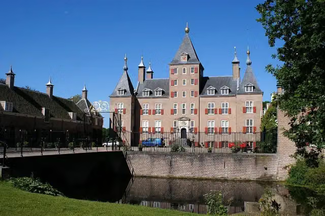 Kasteel RenswoudeCastle · 9.3 km from the route
- 4
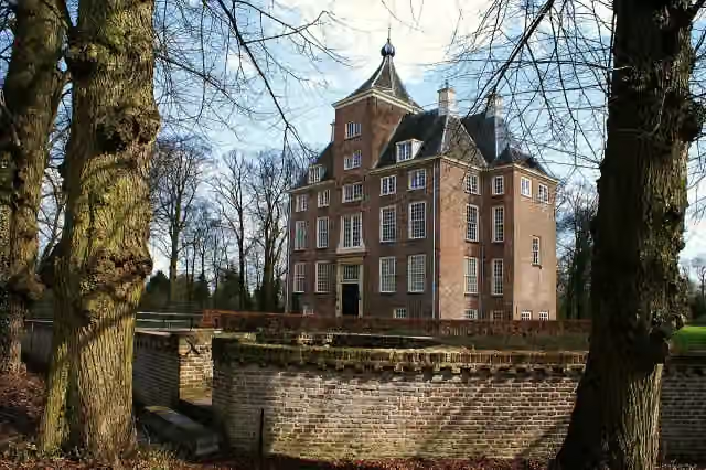 Kasteel SoelenCastle · 9.2 km from the route
- 5
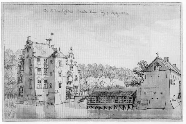 Kasteel SandenburgCastle · 5.6 km from the route
- 6
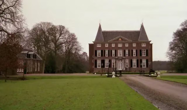 HardenbroekCastle · 9.6 km from the route
- 7
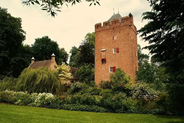 Kasteel LunenburgCastle · 7.2 km from the route
- 8
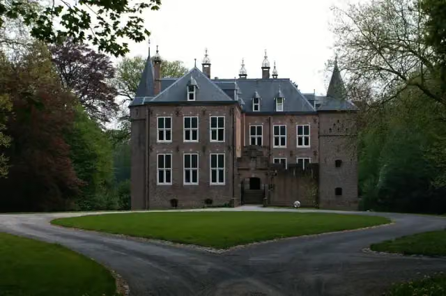 Kasteel MoersbergenCastle · 7.6 km from the route
- 9
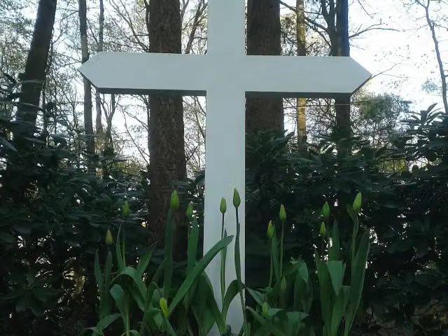 Het kruis op de bergMemorial · 4.5 km from the route
- 10
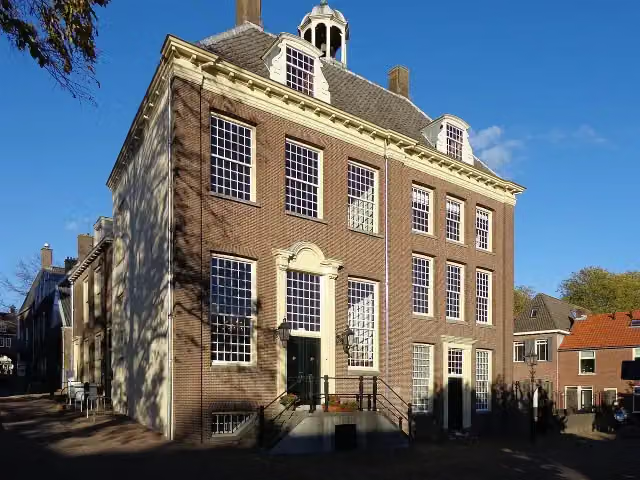 Stadsmuseum RhenenMuseum · 7.8 km from the route
- 11
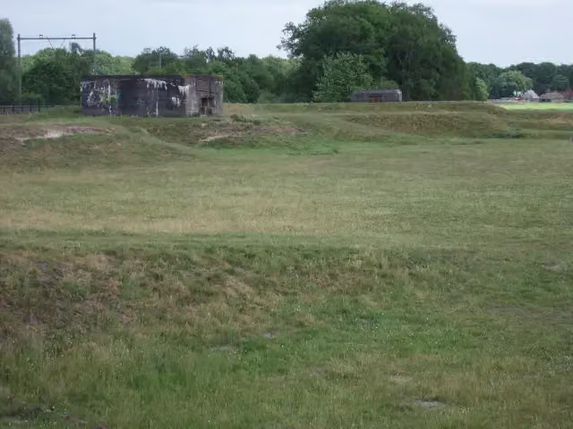 Linie van JuffrouwwijkFort · 7.3 km from the route
- 12
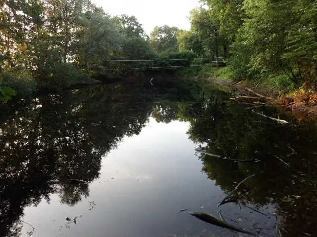 Fort aan de Buursteeg NoordFort · 8 km from the route
- 13
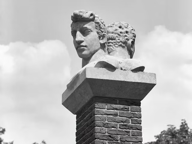 VerzetsmonumentMemorial · 6 km from the route
- 14
 Voorwerk aan de EngelaarFort · 8.3 km from the route
- 15
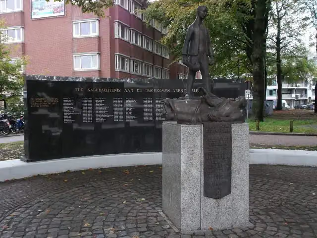 Monument voor de GevallenenMemorial · 5.7 km from the route
- 16
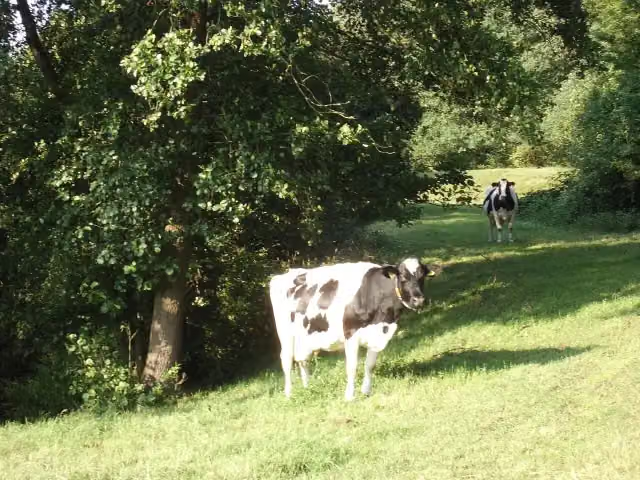 Batterij op den SchalmdijkFort · 7.6 km from the route
- 17
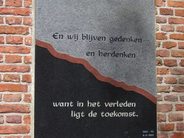 Monument aan de MarktMemorial · 5.7 km from the route
- 18
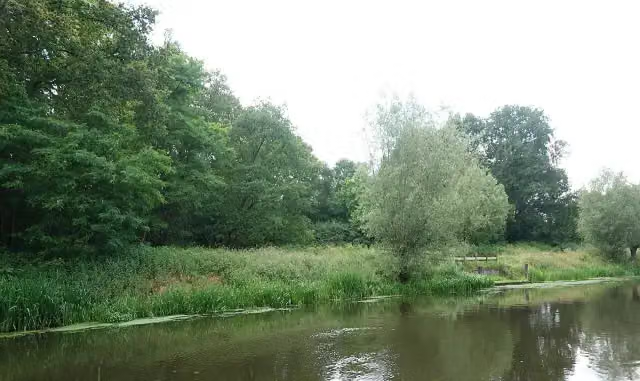 Werk aan de Roode HaanFort · 5.9 km from the route
- 19
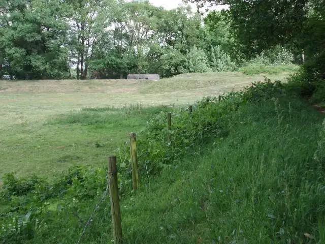 Fort aan de Buursteeg ZuidFort · 7.8 km from the route
- 20
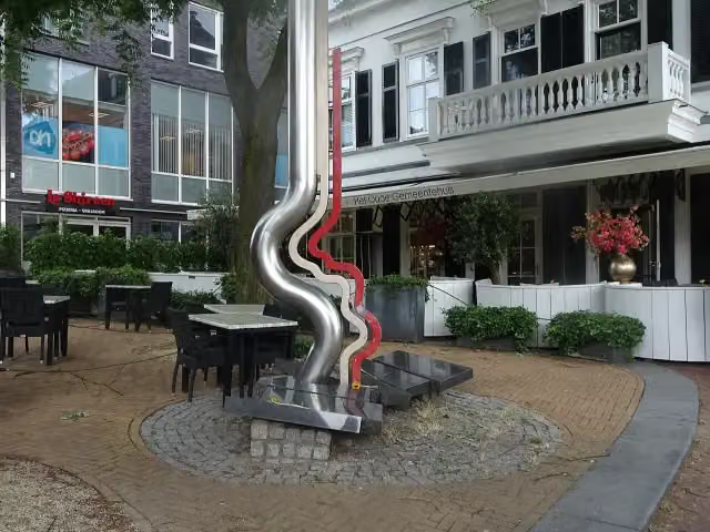 MemorialMemorial · 7.9 km from the route
- 21
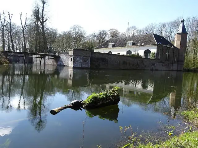 CastleCastle · 9.2 km from the route
- 22
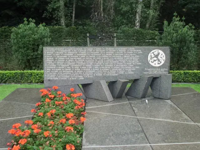 Monument voor vermisten van mei '40Memorial · 9.8 km from the route
- 23
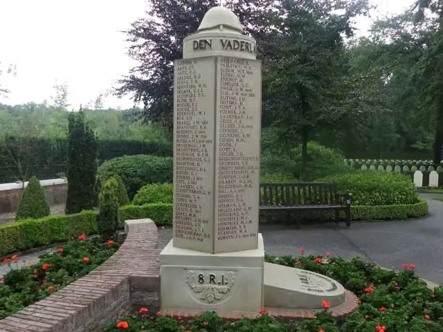 Gedenkzuil van het 8ste R.I.Memorial · 9.8 km from the route
- 24
 Kasteel De LichtenbergRuins · 8.2 km from the route
- 25UilentorenObservation tower · 1.7 km from the route
Explore more
Frequently asked questions
How long is the Cotlandenpad klompenpad walk?
The Cotlandenpad is 12 km long. It is a circular route, so you start and finish in the same place.
Is the Cotlandenpad a klompenpad walk?
That is not stated in the details of this route. It is, however, a local walking route of 12 km.
How much elevation gain is there on the Cotlandenpad?
The Cotlandenpad has 16 m of ascent and 17 m of descent. It is therefore an almost flat route.
What surface is the Cotlandenpad klompenpad walk on?
Of the 12 km, 48% is unpaved, 26% is paved, 15% is gravel and 11% is asphalt. Most of the route (64%) runs along a path.
What pitstops are along the Cotlandenpad?
Along the route you will find 1 water tap and 16 benches.
What point of interest is along the Cotlandenpad?
Along the way you pass the Tabaksteeltmuseum.
Starting point
More routes from this place
Route data © OpenStreetMap contributors





