 Outdoor Pitstop
Walking route · Freiberg · Updated on 14 November 2026
Fernwanderweg Ostsee–Saaletalsperren (Abschnitt Freiberg – Ziegenrück) walk
Fernwanderweg Ostsee–Saaletalsperren (Abschnitt Freiberg – Ziegenrück) is a walk of 269.8 km from Freiberg. Along the way you'll find 481 benches, 3 water fountains and refill points and 26 public toilets.
i
i
The route step by step
From start to finish, with what you pass along the way and the distance in between.
- 269.8 km
- ± 66:40 h
- ↑ 4,017 m · ↓ 4,114 m
- Hard
- From A to B
- National route
Start in Freiberg
0 kmAt the start: 3 public toilets.
8.2 km · 15 benches

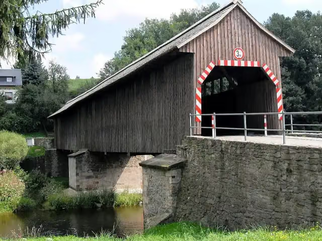
Dreibrüderschacht
8.2 kmAttraction
11.5 km · 15 benches
Water point
19.6 km4.7 km · 22 benches
Public toilet
24.3 km813 m · 6 benches
Public toilet
25.1 km13.3 km · 13 benches
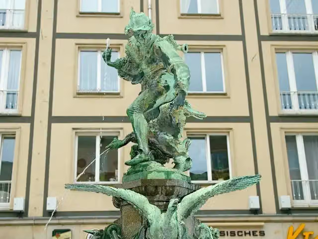
Metzdorfer Straße
38.4 kmAttraction
3.3 km · 4 benches
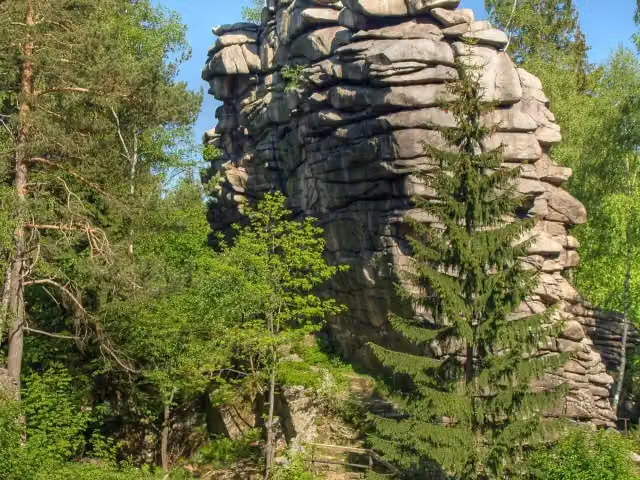
Gänsediebbrunnen
41.6 kmAttraction
21.4 km · 45 benches
Public toilet
63.1 km19.4 km · 65 benches
Aussichtsfelsen
82.4 km2 public toilets
9.2 km · 20 benches
Technisches Museum Papiermühle Niederzwönitz
91.6 kmMuseum
852 m · 12 benches
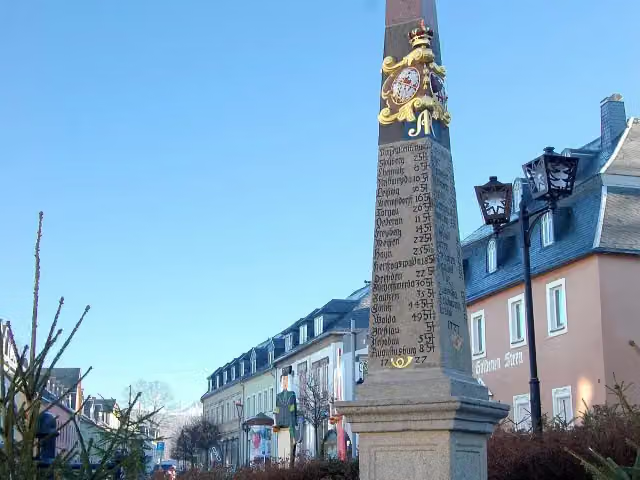
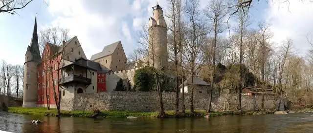
Kursächsische Postmeilensäule
92.5 kmPublic toilet
17.2 km · 31 benches
Public toilet
109.7 km990 m · 3 benches
Stein Castle
110.7 kmMuseum
6.9 km · 3 benches
Fürst-Bismarck-Turm Schneeberg
117.5 kmObservation tower
2.6 km · 11 benches
Museum für bergmännische Volkskunst
120.1 kmPublic toilet
233 m · 5 benches
Public toilet
120.4 km2 km · 13 benches
Köhlerturm
122.3 kmObservation tower
2.3 km · 4 benches
Public toilet
124.6 km2.1 km · 5 benches
Fundgrube Adam Heber
126.7 kmPublic toilet
387 m
Public toilet
127.1 km3.8 km · bench
Public toilet and water point
130.9 km8.3 km · 9 benches
2 public toilets
139.2 km8.5 km · 6 benches
Observation tower
147.7 kmObservation tower
6.6 km · 2 benches
Burg Schönfels and 1 more
154.3 kmBergfried and public toilet
933 m · 4 benches
ehem. Turmhügelburg Schönfels
155.3 kmCastle
2.6 km
Public toilet
157.9 km27.6 km · 31 benches
Public toilet
185.5 km703 m · 26 benches
Sommerpalais
186.2 kmMuseum
15 km · 13 benches
Public toilet
201.2 km2.7 km · 6 benches
Water point
204 km
Show the other 6 steps
8.1 km · 7 benches
Museum Hohenleuben
212 kmMuseum
13 km
Public toilet
225.1 km232 m · 8 benches
2 public toilets
225.3 km3.3 km · 27 benches
Public toilet
228.6 km33.3 km · 29 benches
Observation tower
261.9 kmObservation tower
7.9 km · 12 benches
Finish
269.8 km
Longest stretch without a toilet: 41.2 kmBetween 228.6 km and 269.8 km there is no public toilet within 100 m of the route.
The route with the pitstops and sights within 100 m of it.
18 sights along the way
In the order you pass them. With the Outdoor Pitstop app you hear their story on the spot. 10 more along the route are on the map.
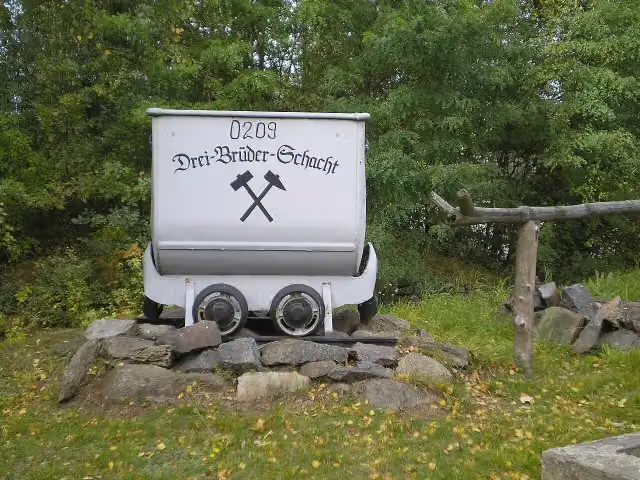
Attraction · after 8.2 km
i
Photo: Rauenstein · Wikimedia Commons · CC BY-SA 3.0View the photo on Wikimedia CommonsAttraction · after 38.4 km
i
Photo: MatthiasKabel · Wikimedia Commons · CC BY-SA 3.0View the photo on Wikimedia CommonsAttraction · after 41.6 km
i
Photo: Jörg Hempel · Wikimedia Commons · CC BY-SA 2.0 deView the photo on Wikimedia CommonsViewpoint · after 82.4 km

Museum · after 91.6 km
i
Photo: Felben · Wikimedia Commons · CC BY-SA 3.0View the photo on Wikimedia CommonsAttraction · after 92.6 km
i
Photo: Caulobacter subvibrioides · Wikimedia Commons · CC BY-SA 3.0View the photo on Wikimedia CommonsMuseum · after 110.7 km
Observation tower · after 117.5 km
Elevation and terrain
- Up
- ↑ 4,017 m
- Down
- ↓ 4,114 m
- Highest point
- 717 m
- Lowest point
- 261 m
- 5-10% slope · 32.5 km
- 10-15% slope · 1.4 km
- 9 stairs
Elevation from Copernicus GLO-30 (European Union and ESA), smoothed.
produced using Copernicus WorldDEM-30 © DLR e.V. 2010-2014 and © Airbus Defence and Space GmbH 2014-2018 provided under COPERNICUS by the European Union and ESA; all rights reserved
Way types
269.8 km in total- Track: 133.1 km
- Street: 56.1 km
- Road: 42.2 km
- Path: 22.5 km
- Busy road: 9.5 km
- Footpath: 4.6 km
- Stairs: 9 stairs
- Cycleway: 500 m
Surfaces
269.8 km in total- Asphalt: 103.5 km
- Gravel: 61.6 km
- Unpaved: 40.1 km
- Paved: 13.2 km
- Natural: 3 km
- Unknown: 47.7 km
About the walking route Fernwanderweg Ostsee–Saaletalsperren (Abschnitt Freiberg – Ziegenrück)
Updated on 14 November 2026, with data from OpenStreetMap, the AHN and Copernicus.
Where do you walk?
Fernwanderweg Ostsee–Saaletalsperren (Abschnitt Freiberg – Ziegenrück) is a walking route of 269.8 km that starts in Freiberg. It does not end where it starts. You start in Freiberg and finish in Ziegenrück. Along the way you pass Dreibrüderschacht (after 8.2 km), Metzdorfer Straße (after 38.4 km) and Gänsediebbrunnen (after 41.6 km).
How hard is the route?
You climb 4,017 m in total and descend 4,114 m. There are 9 flights of steps along the way. Allow ± 66:40 h, without breaks. The level is hard.
What paths do you walk on?
The longest part is track (133.1 km), street (56.1 km) and road (42.2 km). Of the surface, 103.5 km asphalt and 61.6 km gravel. For 47.7 km the surface is not known.
Pitstops along the way
Within 100 metres of the route there are 481 benches, 3 water fountains and refill points and 26 public toilets. You can fill your bottle after 19.6 km, after 130.9 km and after 204 km. The longest stretch without a toilet is 41.2 km. The Outdoor Pitstop app navigates you there.
Part of Ostsee–Saaletalsperren
Walks nearby
4Sights nearby
Within 10 km of the route, best known first.
- 1
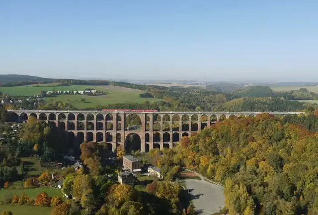 GöltzschtalbrückeAttraction · 136 m from the route
- 2
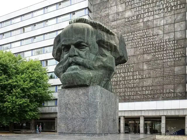 Karl Marx MonumentAttraction · 6.8 km from the route
- 3
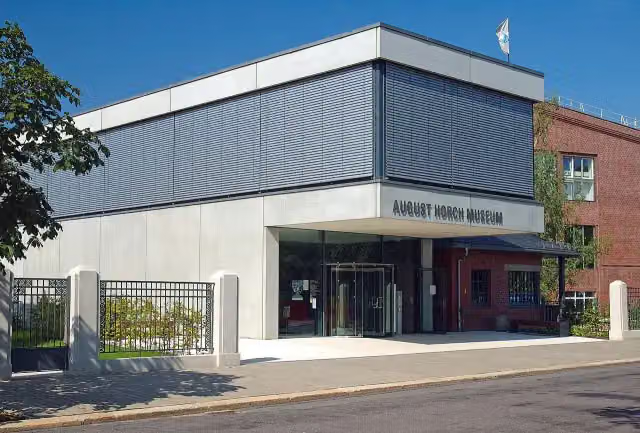 August Horch MuseumMuseum · 8.4 km from the route
- 4
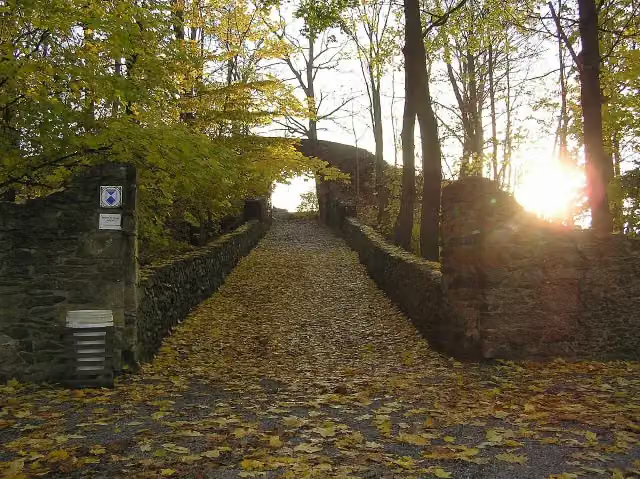 Burgruine ReichenfelsCastle · 105 m from the route
- 5
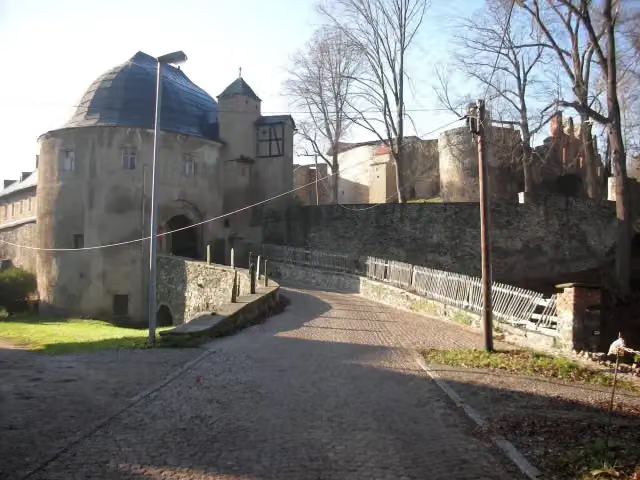 Schlossruine HartensteinCastle · 129 m from the route
- 6
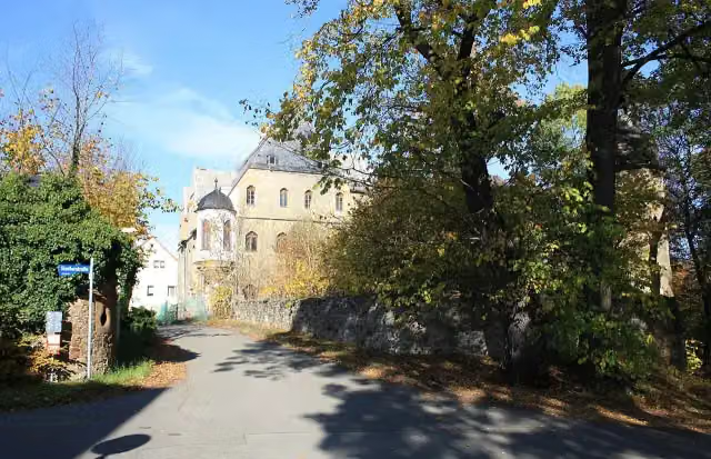 Schloss NeuschönfelsCastle · 132 m from the route
- 7
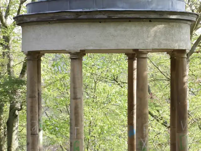 GasparinentempelAttraction · 141 m from the route
- 8
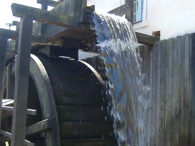 Wassermühle GospersgrünMuseum · 143 m from the route
- 9
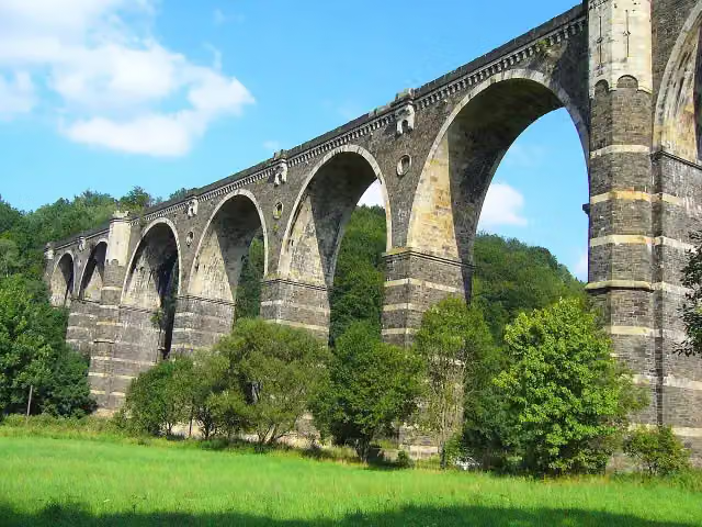 AttractionAttraction · 170 m from the route
- 10
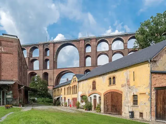 Ketzel's MühleMuseum · 188 m from the route
- 11
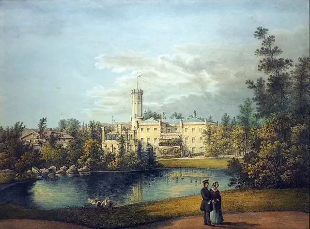 Schloss ErdmannsdorfCastle · 205 m from the route
- 12
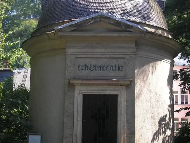 PorzellanrotundeMemorial · 242 m from the route
- 13
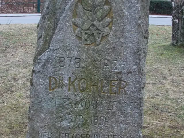 Dr. Köhler GedenksteinMemorial · 245 m from the route
- 14
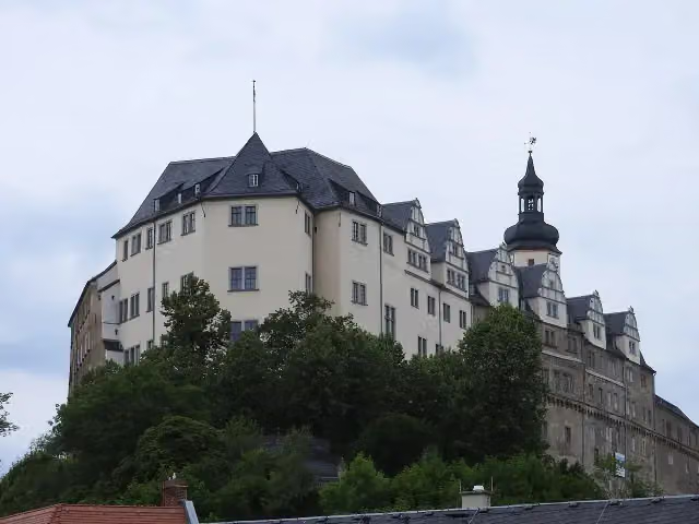 Oberes Schloss (Greiz)Castle · 298 m from the route
- 15
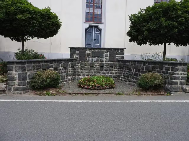 MemorialMemorial · 313 m from the route
- 16
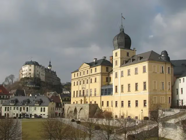 Unteres SchlossCastle · 329 m from the route
- 17
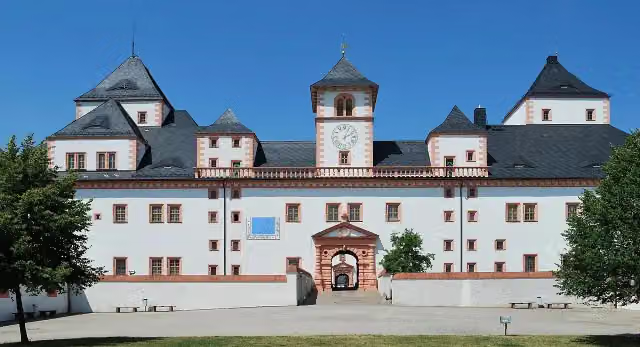 Schloss AugustusburgAttraction · 420 m from the route
- 18
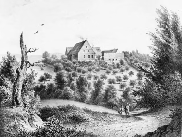 Edelhof AlberodaCastle · 431 m from the route
- 19
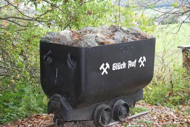 Bergstadt FürstenbergArchaeological site · 484 m from the route
- 20
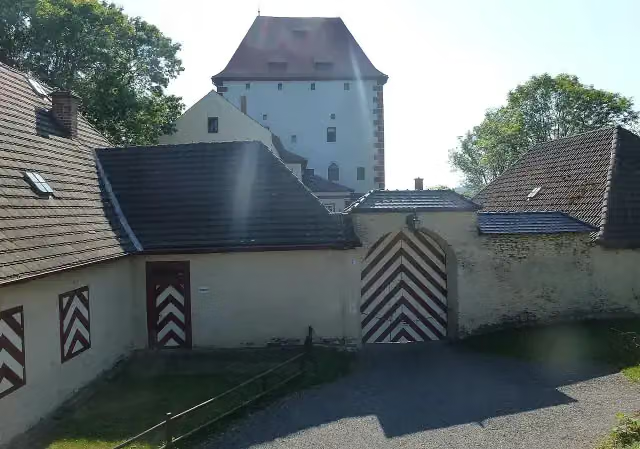 Kemenate ZiegenrückCastle · 533 m from the route
- 21
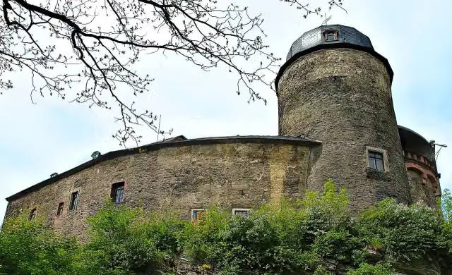 Burg MylauAttraction · 552 m from the route
- 22
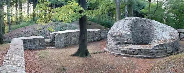 IsenburgCastle · 580 m from the route
- 23
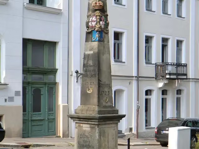 Kursächsische PostmeilensäuleAttraction · 702 m from the route
- 24
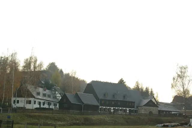 Siebenschlehener PochwerkMuseum · 822 m from the route
- 25
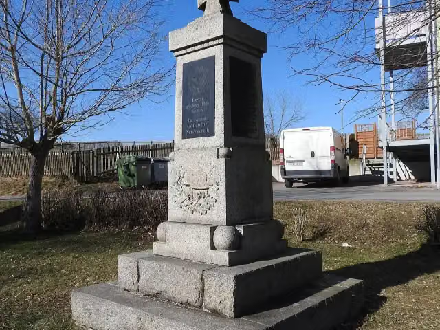 MemorialMemorial · 824 m from the route
Explore more
Frequently asked questions
How long is Fernwanderweg Ostsee–Saaletalsperren (Abschnitt Freiberg – Ziegenrück)?
Fernwanderweg Ostsee–Saaletalsperren (Abschnitt Freiberg – Ziegenrück) is 269.8 km long. Allow ± 66:40 h of walking: 4.5 km an hour and 10 minutes more per 100 metres of climbing, without breaks.
Is this route a circular walk?
No, the route runs from Freiberg to Ziegenrück.
Where does this route start?
The route starts in Freiberg.
How hard is this route?
Hard, with 4,017 m of climbing.
Are there toilets along this route?
Yes, there are 26 public toilets within 100 m of the route. The longest stretch without a toilet is 41.2 km.
Can you fill up with water along this route?
Yes, there are 3 water fountains and refill points within 100 m of the route.
What is there to see along this route?
Along the way you pass Dreibrüderschacht, Metzdorfer Straße and Gänsediebbrunnen.
Can I download this route as a GPX file?
Yes. Sign in with your Outdoor Pitstop account and choose Download GPX at the top of this page: 10 routes a month for free, unlimited with Pro.
Starting point
More routes from this place
Route data © OpenStreetMap contributors





