 Outdoor Pitstop
Walking route · Rechenberg-Bienenmühle · Updated on 14 November 2026
Fernwanderweg Zittau – Wernigerode (Sachsen West) walk
Fernwanderweg Zittau – Wernigerode (Sachsen West) is a walk of 243.8 km from Rechenberg-Bienenmühle. Along the way you'll find 513 benches, 4 water fountains and refill points, 9 public toilets and 1 bike pump.
i
i
The route step by step
From start to finish, with what you pass along the way and the distance in between.
- 243.8 km
- ± 61:25 h
- ↑ 4,361 m · ↓ 4,609 m
- Hard
- From A to B
- National route
Start in Rechenberg-Bienenmühle
0 km8.6 km · 27 benches

Burgruine Rechenberg
8.6 kmCastle
12.2 km · 28 benches
Public toilet
20.8 km15.6 km · 97 benches
Public toilet
36.4 km349 m · 22 benches
Public toilet
36.8 km3.6 km · bench
Water point
40.4 km5.3 km · 6 benches
Kupferhammer Museum Saigerhütte
45.7 kmPublic toilet
23.7 km · 31 benches
Burg Nonnenfelsen
69.4 kmArchaeological site
46.4 km · 69 benches
Observation tower
115.9 kmPublic toilet and bike pump
2 km · 5 benches
Public toilet
117.9 km9.4 km · 11 benches
Anton-Günter-Gedenkstein
127.2 kmWater point
21.4 km · 35 benches
Zum Gedenken der Gef. von Steinbach 1939-1945
148.6 kmMemorial
25.3 km · 44 benches
Public toilet
173.9 km15.1 km · 15 benches
Zigarren- & Heimatmuseum Schöneck/Vogtland
189.1 kmMuseum
352 m
Burg Schöneck
189.4 kmRuins
26 km · 32 benches
Galerie e. o. plauen and 1 more
215.4 kmVogtlandmuseum and public toilet
165 m · 10 benches
Julius Mosen (1803 - 1867)
215.6 kmWater point
2 km · 62 benches
Public toilet
217.6 km7.9 km · 10 benches
Water point
225.5 km14.9 km · 7 benches
Schloss Mühltroff
240.4 kmCastle
3.4 km
Finish
243.8 km
Longest stretch without a toilet: 70 kmBetween 45.8 km and 115.9 km there is no public toilet within 100 m of the route.
The route with the pitstops and sights within 100 m of it.
12 sights along the way
In the order you pass them. With the Outdoor Pitstop app you hear their story on the spot. 4 more along the route are on the map.
i
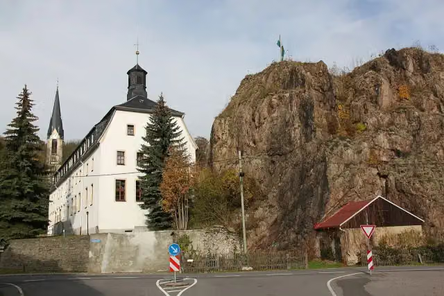
Photo: Miebner · Wikimedia Commons · CC BY-SA 3.0 deView the photo on Wikimedia CommonsCastle · after 8.6 km
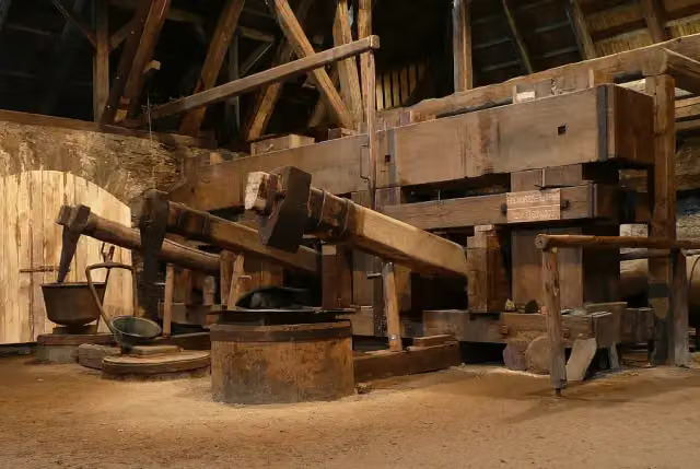
i
Photo: Norbert Kaiser · Wikimedia Commons · CC BY-SA 3.0View the photo on Wikimedia CommonsMuseum · after 45.7 km

Archaeological site · after 69.4 km
Observation tower · after 115.9 km
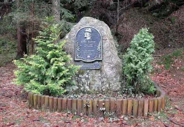
i
Photo: Devilsanddust · Wikimedia Commons · CC BY-SA 3.0View the photo on Wikimedia CommonsMemorial · after 127.2 km
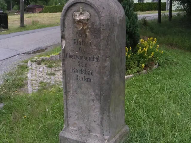
i
Photo: Oxensepp (talk) · Wikimedia Commons · CC BY-SA 3.0View the photo on Wikimedia CommonsMemorial · after 148.6 km
Museum · after 189.1 km
Ruins · after 189.4 km
Elevation and terrain
- Up
- ↑ 4,361 m
- Down
- ↓ 4,609 m
- Highest point
- 1,172 m
- Lowest point
- 339 m
- 5-10% slope · 49 km
- 10-15% slope · 4.9 km
- 4 stairs
Elevation from Copernicus GLO-30 (European Union and ESA), smoothed.
produced using Copernicus WorldDEM-30 © DLR e.V. 2010-2014 and © Airbus Defence and Space GmbH 2014-2018 provided under COPERNICUS by the European Union and ESA; all rights reserved
Way types
243.8 km in total- Track: 154.7 km
- Street: 38.9 km
- Road: 17.4 km
- Path: 16.6 km
- Busy road: 8.7 km
- Footpath: 4.3 km
- Cycleway: 1.7 km
- Stairs: 4 stairs
- Unknown: 625 m
Surfaces
243.8 km in total- Gravel: 110.6 km
- Asphalt: 61.4 km
- Unpaved: 20.1 km
- Natural: 8.7 km
- Paved: 7 km
- Unknown: 35.3 km
About the walking route Fernwanderweg Zittau – Wernigerode (Sachsen West)
Updated on 14 November 2026, with data from OpenStreetMap, the AHN and Copernicus.
Where do you walk?
Fernwanderweg Zittau – Wernigerode (Sachsen West) is a walking route of 243.8 km that starts in Rechenberg-Bienenmühle. It does not end where it starts. You start in Neuhermsdorf and finish in Mühltroff. Along the way you pass Burgruine Rechenberg (after 8.6 km), Kupferhammer Museum Saigerhütte (after 45.7 km) and Burg Nonnenfelsen (after 69.4 km).
How hard is the route?
You climb 4,361 m in total and descend 4,609 m. There are 4 flights of steps along the way. Allow ± 61:25 h, without breaks. The level is hard.
What paths do you walk on?
The longest part is track (154.7 km), street (38.9 km) and road (17.4 km). Of the surface, 110.6 km gravel and 61.4 km asphalt. For 35.3 km the surface is not known.
Pitstops along the way
Within 100 metres of the route there are 513 benches, 4 water fountains and refill points, 9 public toilets and 1 bike pump. You can fill your bottle after 40.4 km, after 127.2 km, after 215.6 km and after 225.5 km. The longest stretch without a toilet is 70 km. The Outdoor Pitstop app navigates you there.
Walks nearby
6- Fernwanderweg Zittau – Wernigerode (Sachsen Ost)Hard · From A to B263.3 km
- Europäischer Fernwanderweg E3, Sachsen (Ost)Hard · From A to B116.7 km
- Internationaler Bergwanderweg Eisenach–Budapest (Sachsen Ost-Ost)Hard · From A to B116.7 km
- Kammweg Erzgebirge - Vogtland (Ost)Hard · From A to B58.1 km
- Wanderweg der Deutschen Einheit (Görlitz - Seiffen)Hard · From A to B194.1 km
- Grenzüberschreitender Lehrpfad - NeugrabenflößeHard · From A to B18.1 km
Sights nearby
Within 10 km of the route, best known first.
- 1
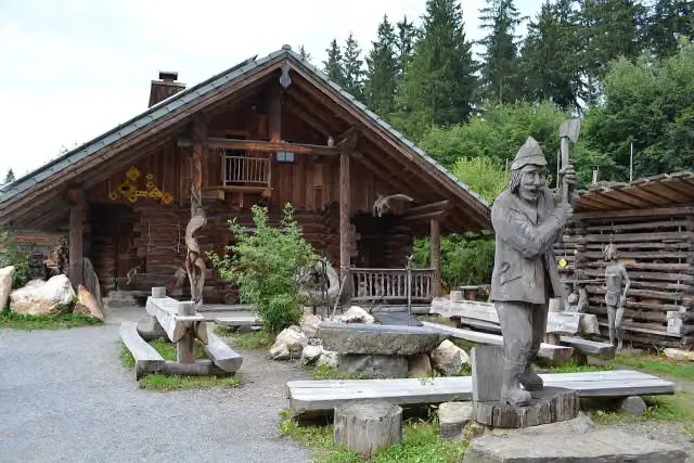 Longest wooden table in the worldAttraction · 6.9 km from the route
- 2
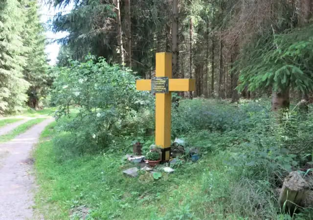 FlájeMemorial · 4 km from the route
- 3
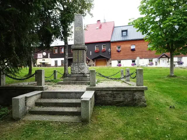 1st WWMemorial · 864 m from the route
- 4
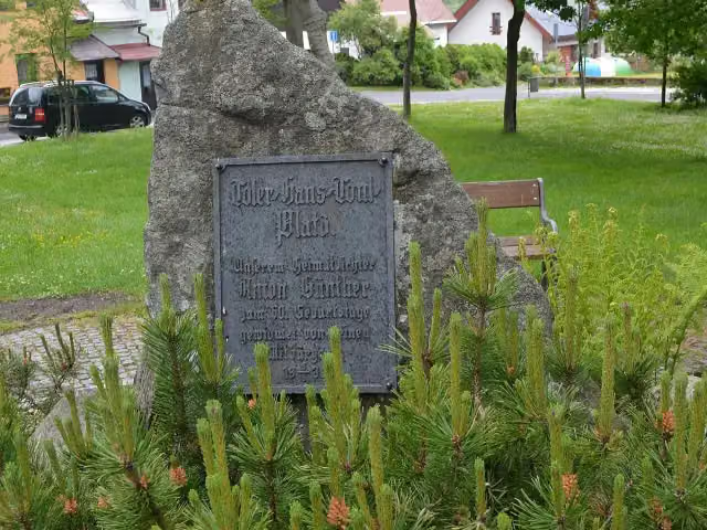 Pomník Antona GüntheraAttraction · 879 m from the route
- 5
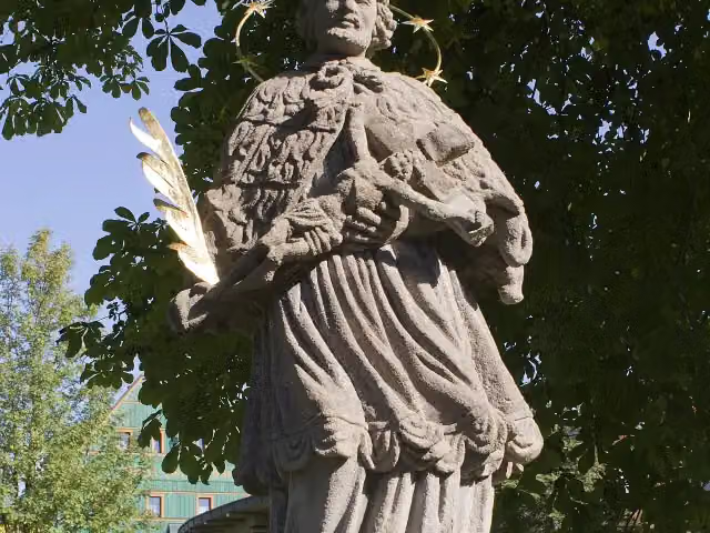 sv. Jan NepomuckýMemorial · 890 m from the route
- 6
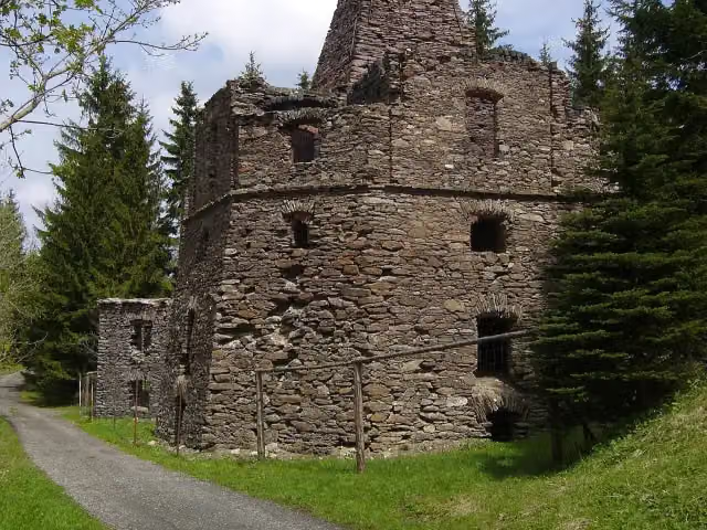 VápenkaRuins · 3 km from the route
- 7
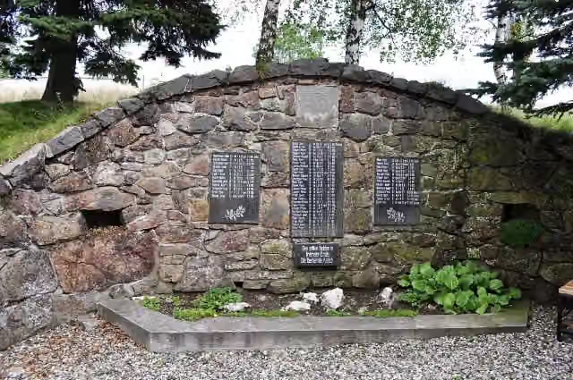 Památník obětem I. světové válkyMemorial · 3.1 km from the route
- 8
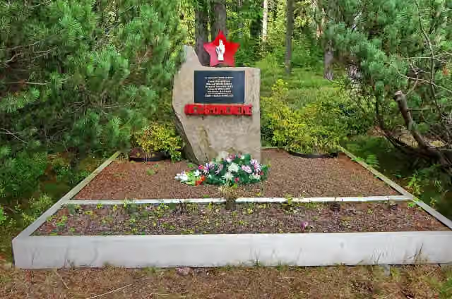 Memorial Prisoncamp SauersackMemorial · 3.7 km from the route
- 9
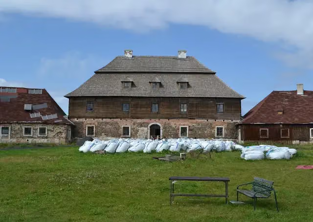 Zámeček LichtenvaldCastle · 4.3 km from the route
- 10
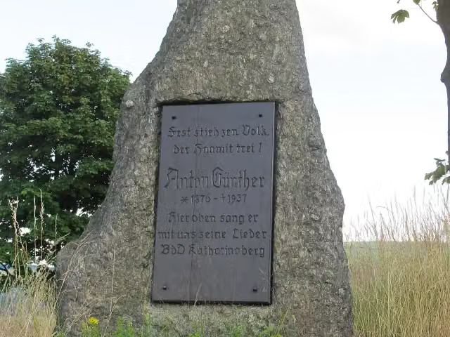 Pomník Antona GüntheraMemorial · 4.7 km from the route
- 11
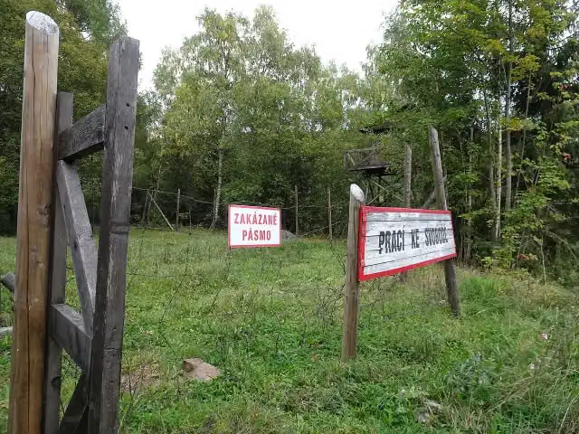 Labor camp SvornostAttraction · 5 km from the route
- 12
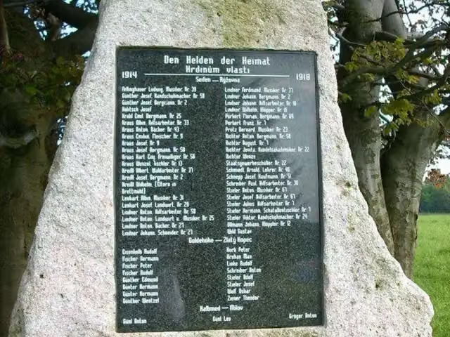 Hrdinům vlastiMemorial · 5 km from the route
- 13
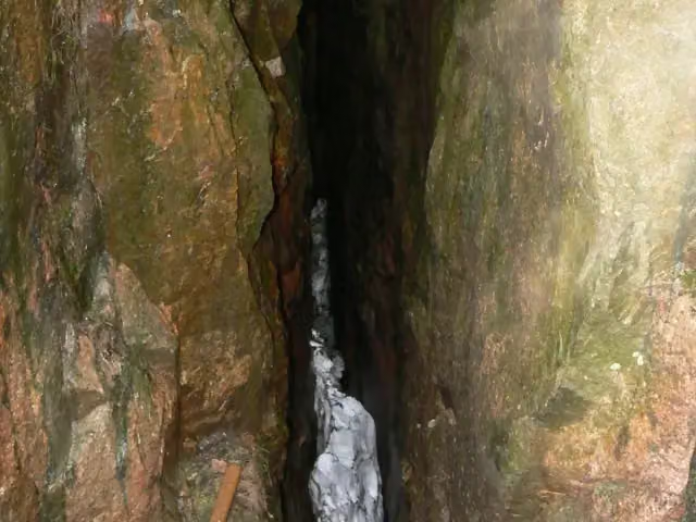 Ledová jámaAttraction · 5 km from the route
- 14
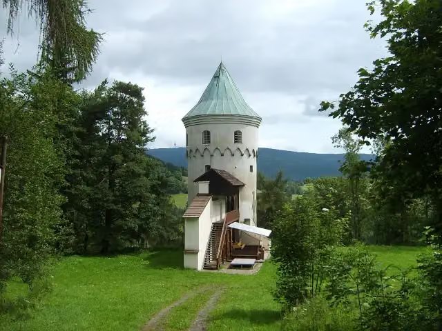 Hrad FreudensteinCastle · 5.4 km from the route
- 15
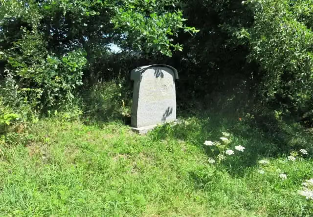 Pomník na památku zaniklého města PřísečniceMemorial · 5.5 km from the route
- 16
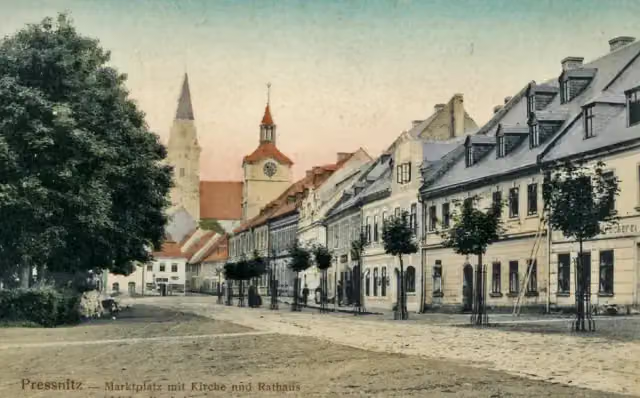 Nanebevzetí Panny MarieRuins · 5.7 km from the route
- 17
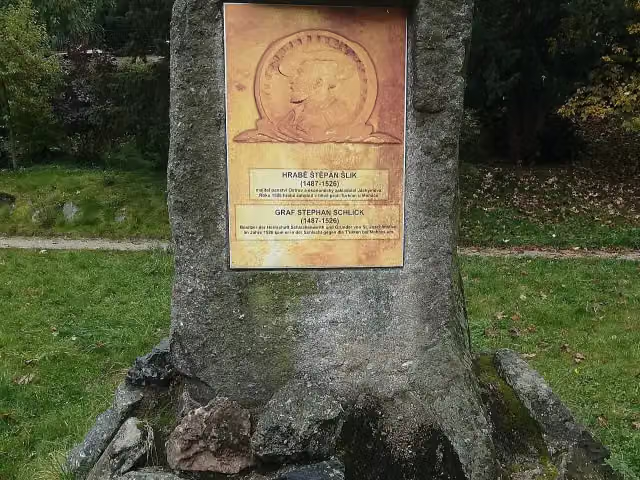 Štěpán ŠlikMemorial · 5.7 km from the route
- 18
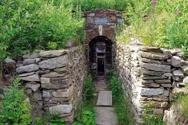 Důl MauritiusMuseum · 6.4 km from the route
- 19
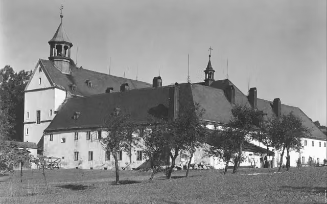 Kapucínský klášter v MariánskéAttraction · 7.3 km from the route
- 20
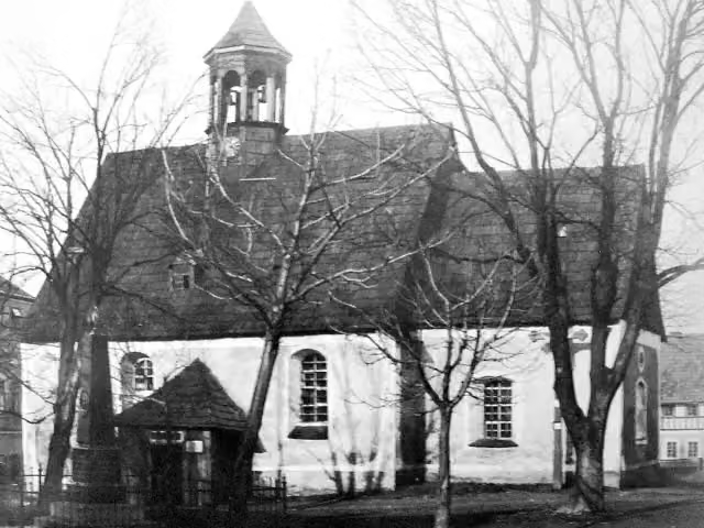 Svatý Martin (starý)Ruins · 7.9 km from the route
- 21
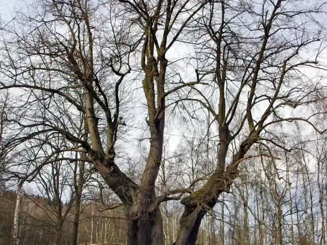 Dolní Popovská lípaAttraction · 8.5 km from the route
- 22
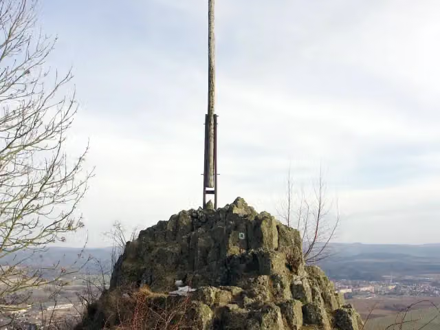 Popovský křížViewpoint · 8.6 km from the route
- 23
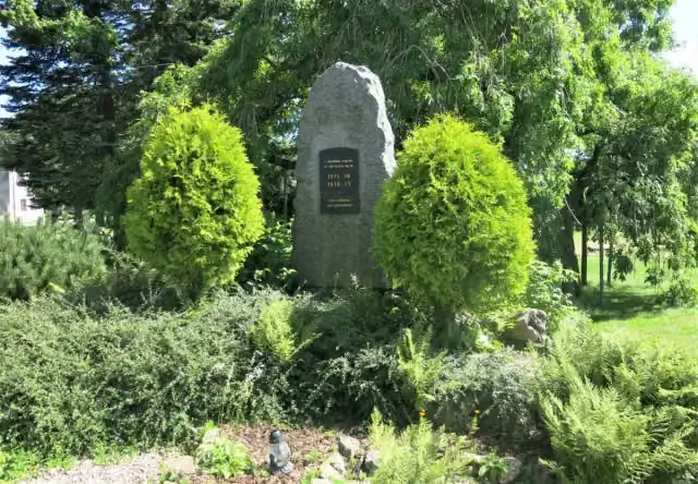 Padlým ze světových válekMemorial · 9.1 km from the route
- 24
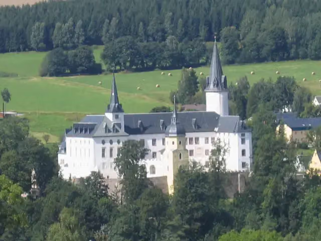 Schloß PurschensteinCastle · 106 m from the route
- 25
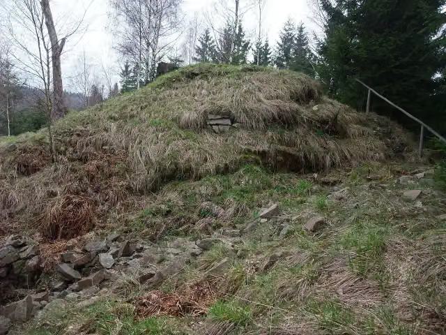 Raubschloss LiebensteinArchaeological site · 149 m from the route
Explore more
More walks around Rechenberg-Bienenmühle
Frequently asked questions
How long is Fernwanderweg Zittau – Wernigerode (Sachsen West)?
Fernwanderweg Zittau – Wernigerode (Sachsen West) is 243.8 km long. Allow ± 61:25 h of walking: 4.5 km an hour and 10 minutes more per 100 metres of climbing, without breaks.
Is this route a circular walk?
No, the route runs from Neuhermsdorf to Mühltroff.
Where does this route start?
The route starts in Rechenberg-Bienenmühle.
How hard is this route?
Hard, with 4,361 m of climbing.
Are there toilets along this route?
Yes, there are 9 public toilets within 100 m of the route. The longest stretch without a toilet is 70 km.
Can you fill up with water along this route?
Yes, there are 4 water fountains and refill points within 100 m of the route.
What is there to see along this route?
Along the way you pass Burgruine Rechenberg, Kupferhammer Museum Saigerhütte and Burg Nonnenfelsen.
Can I download this route as a GPX file?
Yes. Sign in with your Outdoor Pitstop account and choose Download GPX at the top of this page: 10 routes a month for free, unlimited with Pro.
Starting point
More routes from this place
Route data © OpenStreetMap contributors





