 Outdoor Pitstop
Walking route · Rechenberg-Bienenmühle · Updated on 13 November 2026
Internationaler Bergwanderweg Eisenach–Budapest (Sachsen Ost-Ost) walk
Internationaler Bergwanderweg Eisenach–Budapest (Sachsen Ost-Ost) is a walk of 116.7 km from Rechenberg-Bienenmühle. Along the way you'll find 344 benches, 1 water point, 19 public toilets, 1 bike pump and 2 honesty boxes and farm vending machines.
i
i
The route step by step
From start to finish, with what you pass along the way and the distance in between.
- 116.7 km
- ± 30:10 h
- ↑ 2,534 m · ↓ 3,146 m
- Hard
- From A to B
- International route
Start in Rechenberg-Bienenmühle
0 km21.1 km · 49 benches

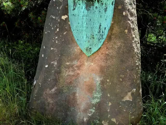
Max-Gross-Denkmal
21.1 kmMemorial
512 m · 3 benches
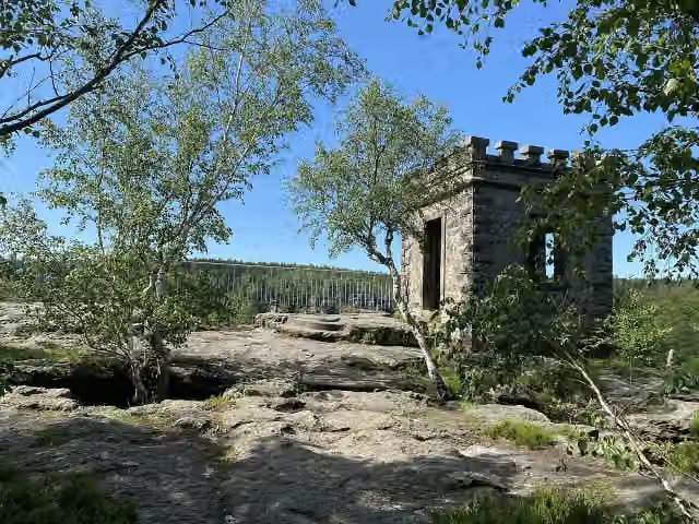
Römerschacht
21.6 kmRuins
375 m
2 public toilets
22 km11.9 km · 28 benches
2 honesty boxes and farm vending machines
33.8 km25.5 km · 23 benches
Kaiser-Wilhelm-Feste
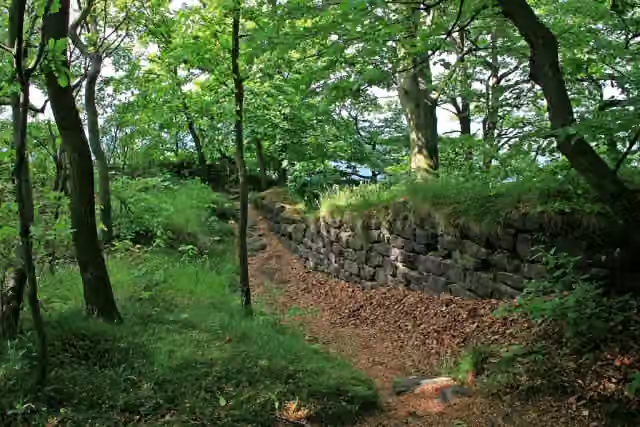
59.3 kmObservation tower
13.7 km · 23 benches
Public toilet
73 km608 m · 4 benches
2 public toilets
73.7 km1.5 km · 17 benches
2 public toilets, water point and bike pump
75.2 km2.3 km · 41 benches
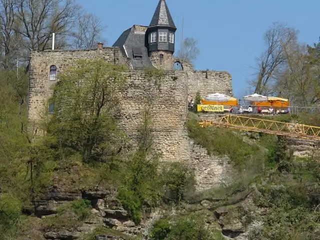
Burg Lilienstein
77.5 kmPublic toilet
4.5 km · 21 benches
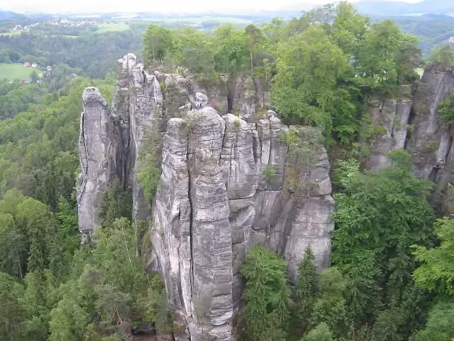
Burg Altrathen
82 km2 public toilets
1.1 km · 25 benches
Felsenburg Neurathen
83.1 kmRuins
229 m · 2 benches
2 public toilets
83.3 km10.2 km · 71 benches
Public toilet
93.5 km3.1 km · 13 benches
Public toilet
96.7 km6.4 km · 2 benches
Schillerdenkmal
103.1 kmMemorial
10.6 km · 13 benches
Aussichtsturm Großer Winterberg
113.6 km2 public toilets
2.4 km · bench
2 public toilets
116 km160 m · 8 benches
Public toilet
116.2 km508 m
Finish
116.7 km
Longest stretch without a toilet: 51.1 kmBetween 22 km and 73 km there is no public toilet within 100 m of the route.
The route with the pitstops and sights within 100 m of it.
8 sights along the way
In the order you pass them. With the Outdoor Pitstop app you hear their story on the spot.
Memorial · after 21.1 km

Ruins · after 21.6 km
i
Photo: Geoprofi Lars · Wikimedia Commons · CC BY-SA 4.0View the photo on Wikimedia CommonsObservation tower · after 59.3 km
i
Photo: Norbert Kaiser · Wikimedia Commons · CC BY-SA 3.0View the photo on Wikimedia CommonsCastle · after 77.5 km
i
Photo: User:Kolossos · Wikimedia Commons · CC BY-SA 3.0View the photo on Wikimedia CommonsCastle · after 82.1 km
i
Photo: Andreas Steinhoff · Wikimedia Commons · AttributionView the photo on Wikimedia CommonsRuins · after 83.1 km
i
Photo: Rigorius · Wikimedia Commons · CC BY-SA 4.0View the photo on Wikimedia CommonsMemorial · after 103.1 km
Observation tower · after 113.6 km
Elevation and terrain
- Up
- ↑ 2,534 m
- Down
- ↓ 3,146 m
- Highest point
- 899 m
- Lowest point
- 123 m
- 5-10% slope · 32.8 km
- 10-15% slope · 4.7 km
- 15-20% slope · 4.1 km
- 20% slope or steeper · 1.2 km
- 51 stairs
Elevation from Copernicus GLO-30 (European Union and ESA), smoothed.
produced using Copernicus WorldDEM-30 © DLR e.V. 2010-2014 and © Airbus Defence and Space GmbH 2014-2018 provided under COPERNICUS by the European Union and ESA; all rights reserved
Way types
116.7 km in total- Track: 61.6 km
- Path: 22.5 km
- Street: 14.8 km
- Road: 7 km
- Stairs: 51 stairs
- Busy road: 2.5 km
- Footpath: 825 m
- Unknown: 50 m
Surfaces
116.7 km in total- Asphalt: 32.4 km
- Gravel: 30.1 km
- Unpaved: 24.4 km
- Paved: 9.1 km
- Natural: 3.7 km
- Unknown: 16.4 km
About the walking route Internationaler Bergwanderweg Eisenach–Budapest (Sachsen Ost-Ost)
Updated on 13 November 2026, with data from OpenStreetMap, the AHN and Copernicus.
Where do you walk?
Internationaler Bergwanderweg Eisenach–Budapest (Sachsen Ost-Ost) is a walking route of 116.7 km that starts in Rechenberg-Bienenmühle. It does not end where it starts. You start in Rechenberg-Bienenmühle and finish in Schmilka/Hřensko. Along the way you pass Max-Gross-Denkmal (after 21.1 km), Römerschacht (after 21.6 km) and Kaiser-Wilhelm-Feste (after 59.3 km).
How hard is the route?
You climb 2,534 m in total and descend 3,146 m. There are 51 flights of steps along the way. Allow ± 30:10 h, without breaks. The level is hard.
What paths do you walk on?
The longest part is track (61.6 km), path (22.5 km) and street (14.8 km). Of the surface, 32.4 km asphalt and 30.1 km gravel. For 16.4 km the surface is not known.
Pitstops along the way
Within 100 metres of the route there are 344 benches, 1 water point, 19 public toilets, 1 bike pump and 2 honesty boxes and farm vending machines. You can fill your bottle after 75.2 km. The longest stretch without a toilet is 51.1 km. The Outdoor Pitstop app navigates you there.
Walks nearby
6- Internationaler Bergwanderweg Eisenach–Budapest (Sachsen Ost-West)Hard · From A to B72.8 km
- Europäischer Fernwanderweg E3, Sachsen (Ost)Hard · From A to B116.7 km
- Europäischer Fernwanderweg E3, Sachsen (Mitte)Hard · From A to B105 km
- Fernwanderweg Zittau – Wernigerode (Sachsen West)Hard · From A to B243.8 km
- Kammweg Erzgebirge - Vogtland (Ost)Hard · From A to B58.1 km
- Grenzüberschreitender Lehrpfad - NeugrabenflößeHard · From A to B18.1 km
Sights nearby
Within 10 km of the route, best known first.
- 1
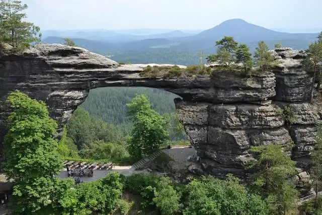 Pravčická bránaAttraction · 2.1 km from the route
- 2
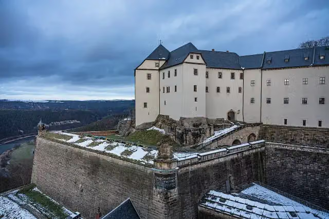 Königstein FortressAttraction · 198 m from the route
- 3
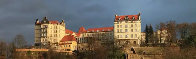 Schloss SonnensteinCastle · 8.5 km from the route
- 4
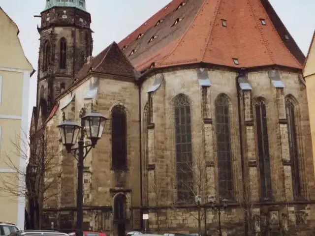 St. Mary's ChurchAttraction · 8.7 km from the route
- 5
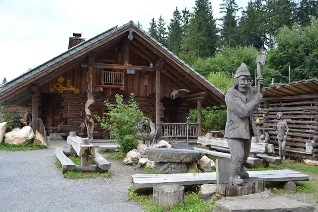 Longest wooden table in the worldAttraction · 9.5 km from the route
- 6
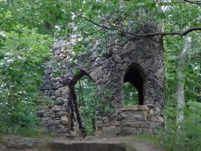 Ruins of Schomberg chateauRuins · 896 m from the route
- 7
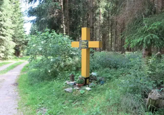 FlájeMemorial · 5.9 km from the route
- 8
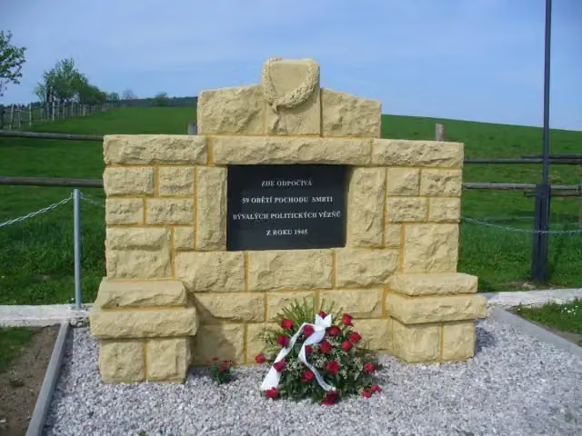 památník obětem pochodu smrtiMemorial · 6.3 km from the route
- 9
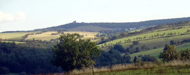 Komáří hůrkaViewpoint · 7.6 km from the route
- 10
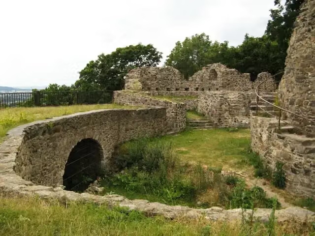 Hrad KrupkaCastle · 9.6 km from the route
- 11
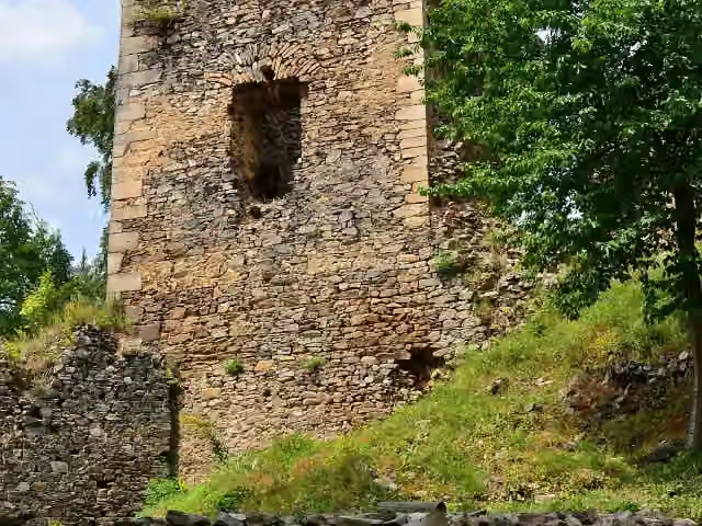 RýzmburkCastle · 9.8 km from the route
- 12
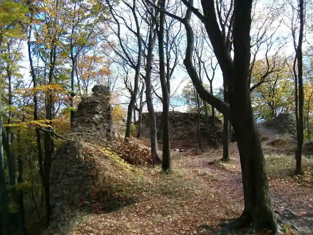 KyšperkAttraction · 9.8 km from the route
- 13
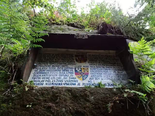 Olžin pád 1872Memorial · 1.8 km from the route
- 14
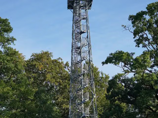 Rozhledna Janovský vrchObservation tower · 3.9 km from the route
- 15
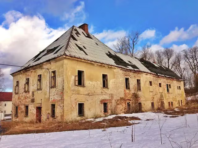 Zámek Krásný LesCastle · 3.9 km from the route
- 16
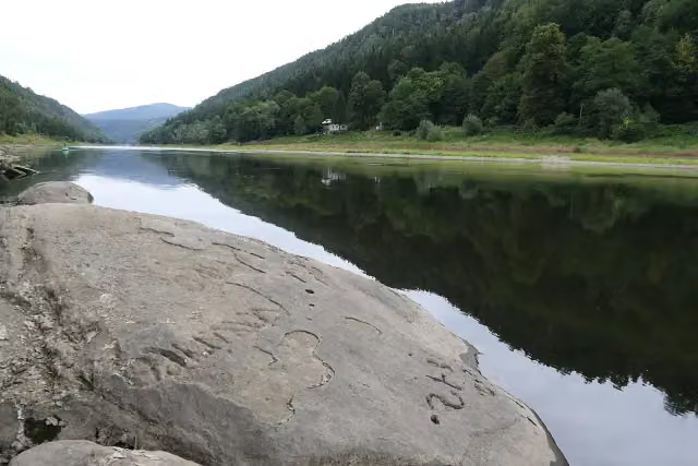 Hunger StoneAttraction · 4.5 km from the route
- 17
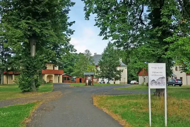 Kristin HrádekCastle · 4.5 km from the route
- 18
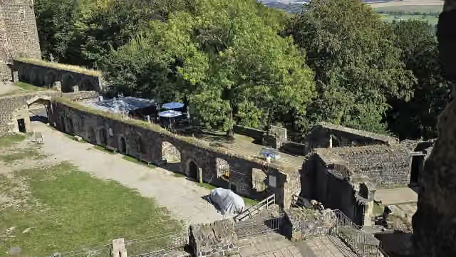 Elector's PalaceRuins · 5.6 km from the route
- 19
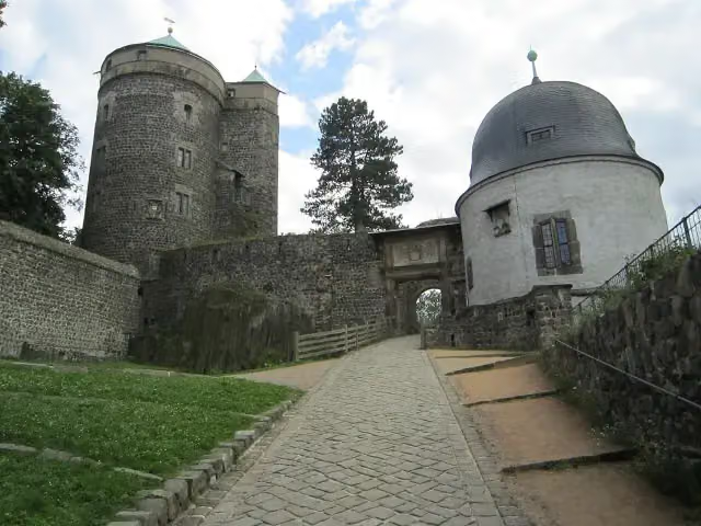 Stolpen CastleAttraction · 5.7 km from the route
- 20
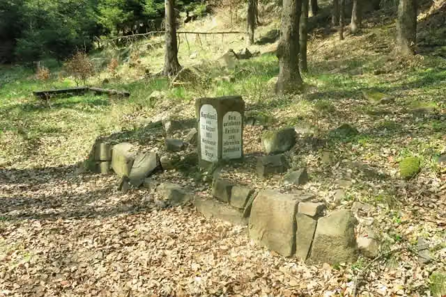 Francouzský kámenMemorial · 5.9 km from the route
- 21
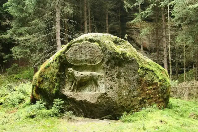 LuchssteinMemorial · 6 km from the route
- 22
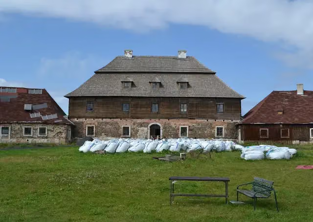 Zámeček LichtenvaldCastle · 6.2 km from the route
- 23
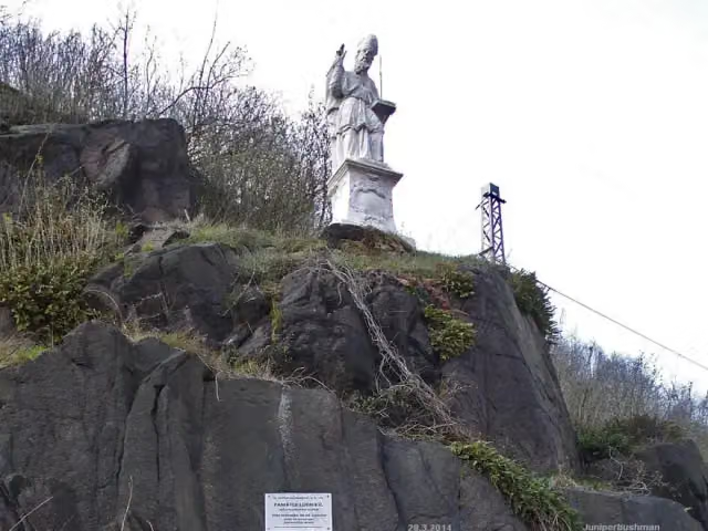 St. AdalbertMemorial · 6.4 km from the route
- 24
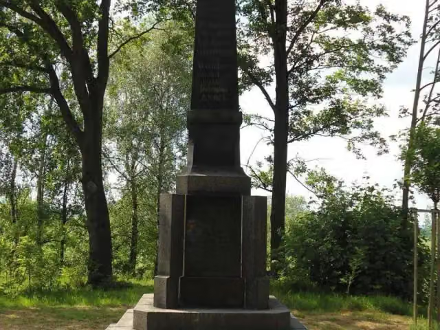 Pomník obětem 1. světové válkyMemorial · 6.7 km from the route
- 25
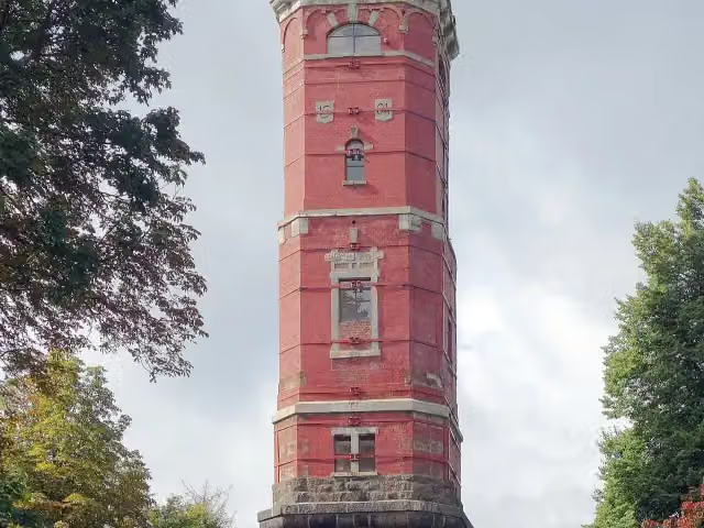 rozhledna Tanečníce;rozhledna TanečniceObservation tower · 8 km from the route
Explore more
More walks around Rechenberg-Bienenmühle
Frequently asked questions
How long is Internationaler Bergwanderweg Eisenach–Budapest (Sachsen Ost-Ost)?
Internationaler Bergwanderweg Eisenach–Budapest (Sachsen Ost-Ost) is 116.7 km long. Allow ± 30:10 h of walking: 4.5 km an hour and 10 minutes more per 100 metres of climbing, without breaks.
Is this route a circular walk?
No, the route runs from Rechenberg-Bienenmühle to Schmilka/Hřensko.
Where does this route start?
The route starts in Rechenberg-Bienenmühle.
How hard is this route?
Hard, with 2,534 m of climbing.
Are there toilets along this route?
Yes, there are 19 public toilets within 100 m of the route. The longest stretch without a toilet is 51.1 km.
Can you fill up with water along this route?
Yes, there are 1 water point within 100 m of the route.
What is there to see along this route?
Along the way you pass Max-Gross-Denkmal, Römerschacht and Kaiser-Wilhelm-Feste.
Can I download this route as a GPX file?
Yes. Sign in with your Outdoor Pitstop account and choose Download GPX at the top of this page: 10 routes a month for free, unlimited with Pro.
Starting point
More routes from this place
Route data © OpenStreetMap contributors





