 Outdoor Pitstop
Walking route · Hamburg · Updated on 14 November 2026
Heidschnuckenweg Hauptroute walk
Heidschnuckenweg Hauptroute is a walk of 220.5 km from Hamburg. Along the way you'll find 575 benches, 2 water fountains and refill points, 23 public toilets and 14 bike pumps.
i
i
i
The route step by step
From start to finish, with what you pass along the way and the distance in between.
- 220.5 km
- ± 4:15 h per stage
- ↑ 982 m · ↓ 962 m
- Moderate per stage
- From A to B
- National route
Start in Hamburg
0 km8.6 km · 20 benches

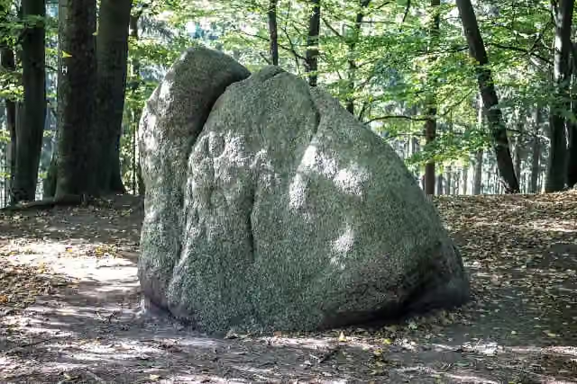
Karlstein
8.6 kmAttraction
4.1 km · 5 benches
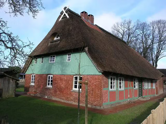
Stellmacherei Langenrehm
12.7 kmWater point
10.3 km · 17 benches
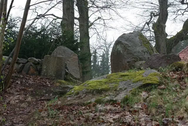
Hünenschloss
23 kmArchaeological site
2.6 km · 4 benches
Bike pump
25.5 km612 m · 3 benches
Water point
26.1 km307 m · 11 benches
4 public toilets and 2 bike pumps
26.4 km6.1 km · 17 benches
Brunsberg
32.5 kmViewpoint
8.7 km · 26 benches
Public toilet and bike pump
41.3 km249 m · 4 benches
2 public toilets
41.5 km13.7 km · 38 benches
Hingstberg
55.2 kmViewpoint
11.1 km · 66 benches
Heidemuseum Dat Ole Hus
66.3 km2 public toilets and 2 bike pumps
1.5 km · 13 benches
Wilseder Berg
67.9 kmAttraction
9.3 km · 62 benches
Bike pump
77.2 km1.8 km · 6 benches
Bike pump
79 km8.9 km · 43 benches
2 bike pumps
87.9 km15.7 km · 27 benches
Public toilet
103.6 km6.3 km · 18 benches
Public toilet
109.8 km530 m · 21 benches
Spielmuseum
110.4 kmMuseum
173 m · 2 benches
felto - Filzwelt Soltau
110.5 km2 public toilets and 2 bike pumps
18.3 km · 38 benches
2 public toilets and 2 bike pumps
128.9 km10.9 km · 28 benches
Public toilet
139.7 km2.9 km · 7 benches
Luftbrückenmuseum
142.6 kmPublic toilet
4 km · bench
Public toilet
146.6 km7.2 km · bench
Public toilet
153.8 km13.6 km · 15 benches
Public toilet
167.5 km7.2 km · 17 benches
Public toilet
174.6 km10.3 km · 32 benches
Public toilet
185 km27.6 km · 22 benches
Ehrenmal
212.6 kmMemorial
375 m
Albrecht-Thaer-Denkmal
213 kmMemorial
Show the other 2 steps
285 m · 7 benches
Bomann-Museum and 2 more
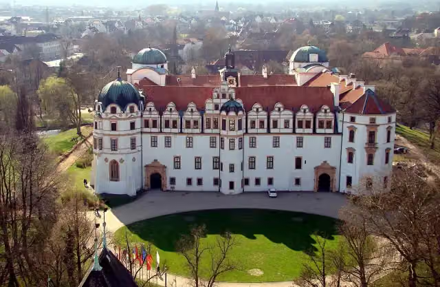
213.2 kmSchloss Celle, Residenzmuseum im Celler Schloss and public toilet
7.2 km · 4 benches
Finish
220.5 km
Longest stretch without a toilet: 37.2 kmBetween 66.4 km and 103.6 km there is no public toilet within 100 m of the route.
The route with the water points, toilets and sights within 100 m of it.
15 sights along the way
In the order you pass them. With the Outdoor Pitstop app you hear their story on the spot. 7 more along the route are on the map.
i
Photo: Aeroid · Wikimedia Commons · CC BY-SA 3.0View the photo on Wikimedia CommonsAttraction · after 8.6 km
i
Photo: PresseKiekeberg · Wikimedia Commons · CC BY-SA 4.0View the photo on Wikimedia CommonsMuseum · after 12.7 km
i
Photo: Einsamer Schütze · Wikimedia Commons · CC BY-SA 4.0View the photo on Wikimedia CommonsArchaeological site · after 23 km
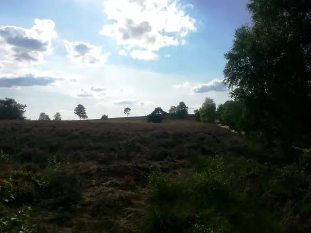
i
Photo: Heide-Daniel · Wikimedia Commons · CC BY-SA 3.0View the photo on Wikimedia CommonsViewpoint · after 32.5 km

Viewpoint · after 55.2 km
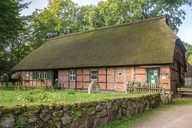
i
Photo: Derzno · Wikimedia Commons · CC BY-SA 4.0View the photo on Wikimedia CommonsMuseum · after 66.4 km
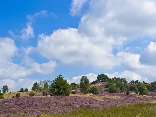
i
Photo: Willow · Wikimedia Commons · CC BY 2.5View the photo on Wikimedia CommonsAttraction · after 67.9 km
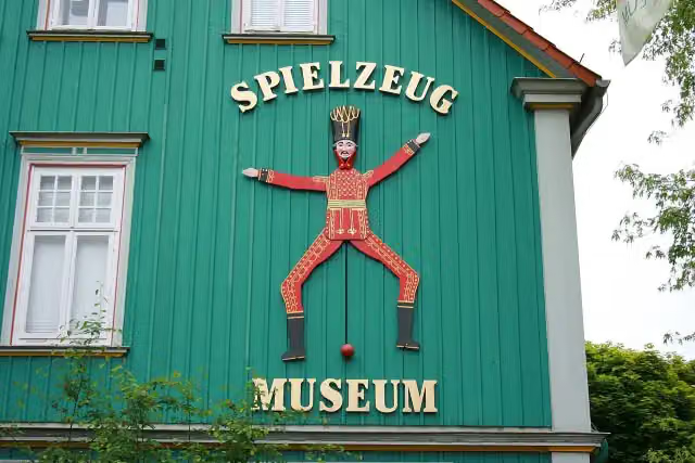
i
Photo: Frank Vincentz · Wikimedia Commons · CC BY-SA 3.0View the photo on Wikimedia CommonsMuseum · after 110.4 km
Stages (12)
- 1Heidschnuckenweg Etappe 1: Fischbek - Buchholz i.d. Nordheide26.5 km
- 2Heidschnuckenweg Etappe 2: Buchholz i.d. Nordheide - Handeloh15 km
- 3Heidschnuckenweg Etappe 3: Handeloh - Undeloh16.1 km
- 4Heidschnuckenweg Etappe 4: Undeloh - Niederhaverbeck13.6 km
- 5Heidschnuckenweg Etappe 5: Niederhaverbeck - Bispingen16.7 km
- 6Heidschnuckenweg Etappe 6 Bispingen - Soltau22.7 km
- 7Heidschnuckenweg Etappe 7: Soltau - Wietzendorf18.2 km
- 8Heidschnuckenweg Etappe 8: Wietzendorf - Müden (Örtze)13.2 km
- 9Heidschnuckenweg Etappe 10: Faßberg - Oberoher Heide18.8 km
- 10Heidschnuckenweg Etappe 11 Oberoher Heide - Weesen12.3 km
- 11Heidschnuckenweg Etappe 12: Weesen - Dehningshof12.8 km
- 12Heidschnuckenweg Etappe 13: Dehningshof - Residenzstadt Celle27.2 km
Elevation and terrain
- Up
- ↑ 982 m
- Down
- ↓ 962 m
- Highest point
- 168 m
- Lowest point
- 32 m
- 5-10% slope · 2.1 km
- 2 stairs
Elevation from Copernicus GLO-30 (European Union and ESA), smoothed.
produced using Copernicus WorldDEM-30 © DLR e.V. 2010-2014 and © Airbus Defence and Space GmbH 2014-2018 provided under COPERNICUS by the European Union and ESA; all rights reserved
Way types
220.5 km in total- Track: 111.8 km
- Path: 62.1 km
- Street: 19.6 km
- Road: 12.5 km
- Footpath: 4 km
- Busy road: 1.9 km
- Cycleway: 693 m
- Stairs: 2 stairs
Surfaces
220.5 km in total- Unpaved: 51.7 km
- Gravel: 44.5 km
- Natural: 30 km
- Asphalt: 26 km
- Paved: 10.9 km
- Unknown: 49.7 km
About the walking route Heidschnuckenweg Hauptroute
Updated on 14 November 2026, with data from OpenStreetMap, the AHN and Copernicus.
Where do you walk?
Heidschnuckenweg Hauptroute is a walking route of 220.5 km that starts in Hamburg. It does not end where it starts. You start in Fischbek and finish in Celle. Along the way you pass Karlstein (after 8.6 km), Stellmacherei Langenrehm (after 12.7 km) and Hünenschloss (after 23 km).
How hard is the route?
You climb 982 m in total and descend 962 m. There are 2 flights of steps along the way. Allow ± 4:15 h per stage, without breaks. Per stage the level is moderate.
What paths do you walk on?
The longest part is track (111.8 km), path (62.1 km) and street (19.6 km). Of the surface, 51.7 km unpaved and 44.5 km gravel. For 49.7 km the surface is not known.
Pitstops along the way
Within 100 metres of the route there are 575 benches, 2 water fountains and refill points, 23 public toilets and 14 bike pumps. You can fill your bottle after 12.7 km and after 26.1 km. The longest stretch without a toilet is 37.2 km. The Outdoor Pitstop app navigates you there.
Part of Heidschnuckenweg
Website of the routeWalks nearby
6- European Long distance path E1 - part Germany, HamburgHard · From A to B57.7 km
- Heidschnuckenweg, Zugangsweg FischbekEasy · From A to B1.9 km
- Heidschnuckenweg, Zugangsweg NeugrabenEasy · From A to B2.1 km
- Nord Süd Trail, Abschnitt Bergedorf - FischbekHard · From A to B49.3 km
- European Long distance path E1 - part Germany, NiedersachsenHard · From A to B324.5 km
- FreudenthalwegHard · From A to B154.4 km
Sights nearby
Within 10 km of the route, best known first.
- 1
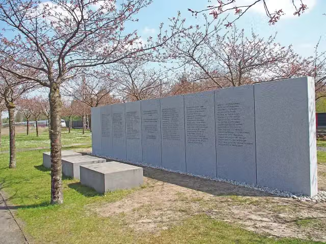 Gedenkstein Zugunglück Eschede 03. Juni 1998Memorial · 6 km from the route
- 2
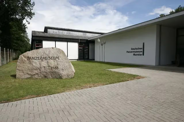 Deutsches PanzermuseumMuseum · 9.7 km from the route
- 3
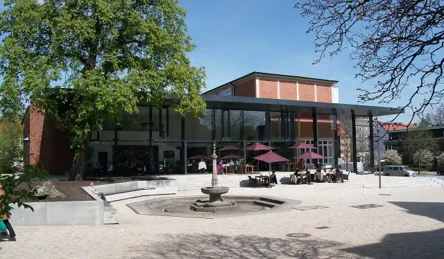 Hamburg Archaeological MuseumMuseum · 8.6 km from the route
- 4
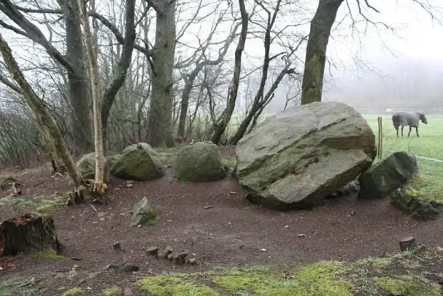 Großsteingrab EmsenArchaeological site · 108 m from the route
- 5
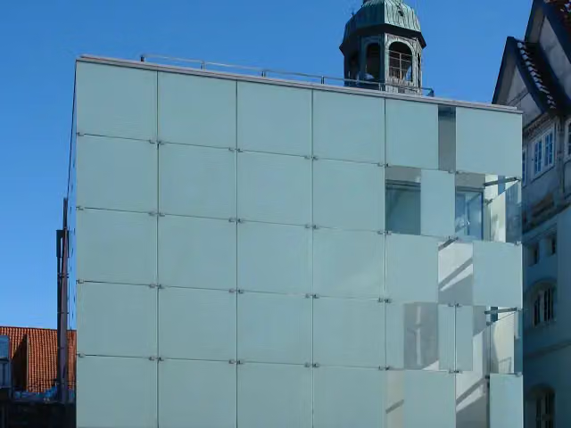 Kunstmuseum Celle mit Sammlung Robert SimonMuseum · 113 m from the route
- 6
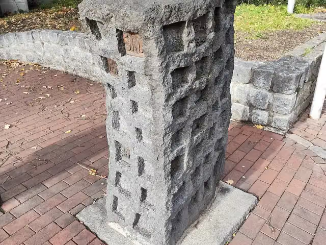 Mahnmal für die Opfer des Nationalsozialismus und GewaltherschaftMemorial · 161 m from the route
- 7
 Mutter mit KindMemorial · 192 m from the route
- 8
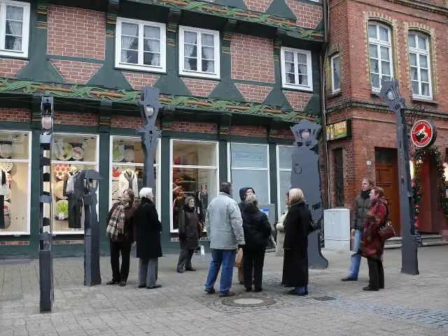 Sprechende LaternenAttraction · 224 m from the route
- 9
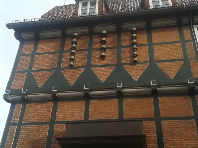 Celler GlockenspielAttraction · 250 m from the route
- 10
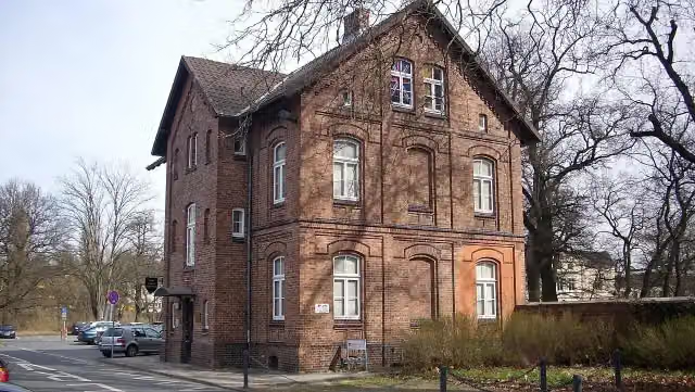 Garnison-MuseumMuseum · 330 m from the route
- 11
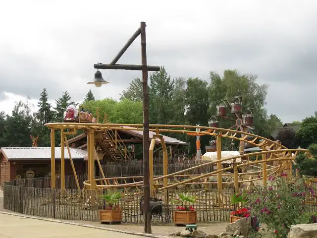 Indy-BlitzAttraction · 336 m from the route
- 12
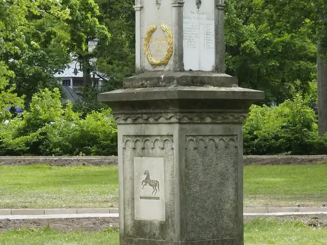 Langensalza-DenkmalMemorial · 358 m from the route
- 13
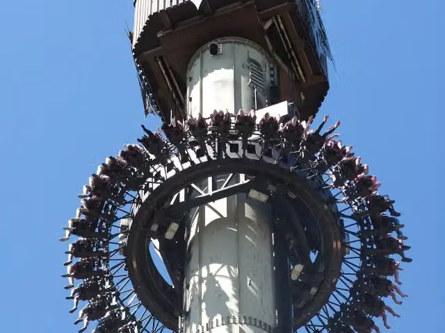 ScreamObservation tower · 361 m from the route
- 14
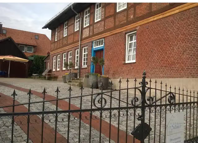 Soltauer SalzmuseumMuseum · 438 m from the route
- 15
 Caroline-Mathilde-DenkmalMemorial · 444 m from the route
- 16
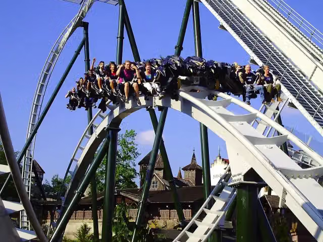 Flug der DämonenAttraction · 451 m from the route
- 17
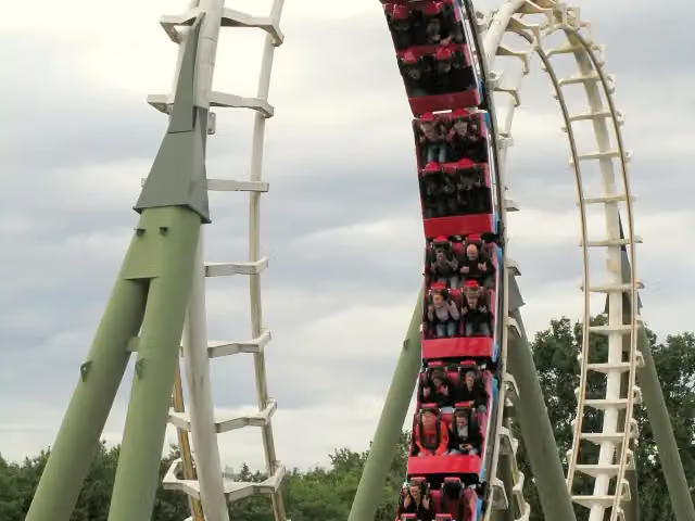 Big LoopAttraction · 455 m from the route
- 18
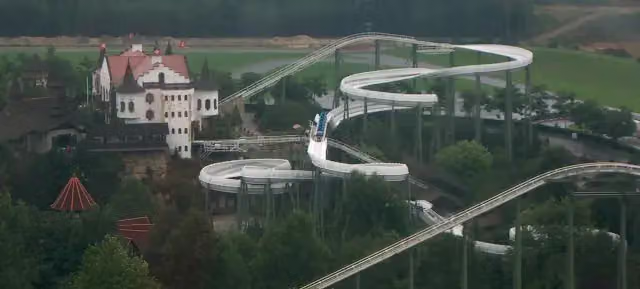 BobbahnAttraction · 476 m from the route
- 19
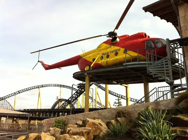 Desert RaceAttraction · 559 m from the route
- 20
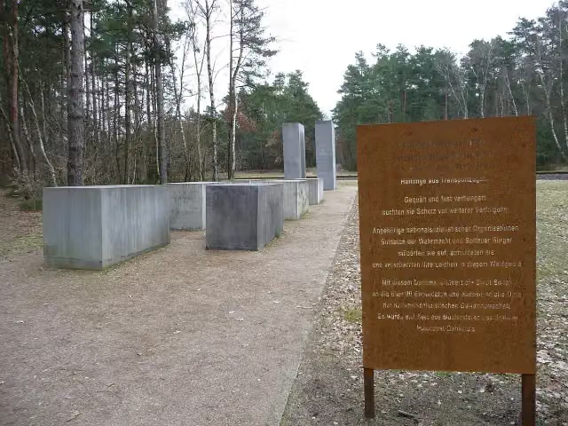 Soltauer MahnmalMemorial · 643 m from the route
- 21
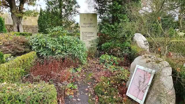 Gedenkstätte NS-OpferMemorial · 691 m from the route
- 22
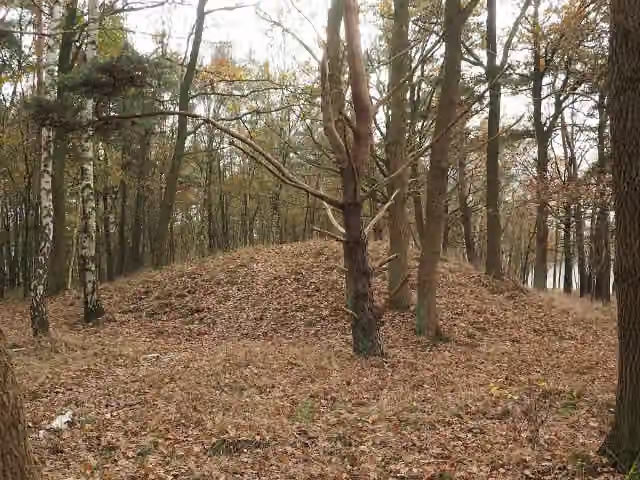 Grabhügelfeld von BonstorfArchaeological site · 720 m from the route
- 23
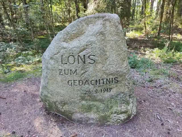 LönssteinMemorial · 989 m from the route
- 24
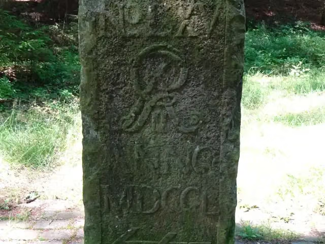 Moisburger Stein 1750, Georg IIMemorial · 1.1 km from the route
- 25
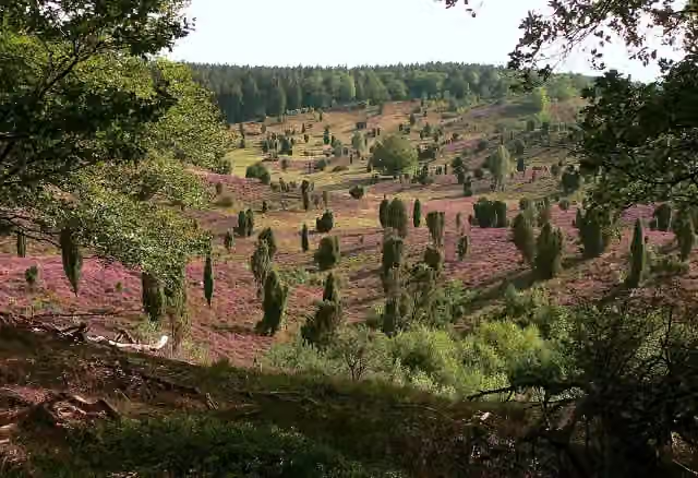 TotengrundViewpoint · 1.1 km from the route
Explore more
More walks around Hamburg
More nearby
Frequently asked questions
How long is Heidschnuckenweg Hauptroute?
Heidschnuckenweg Hauptroute is 220.5 km long, in 12 stages of 18.4 km on average. Allow ± 4:15 h per stage of walking: 4.5 km an hour and 10 minutes more per 100 metres of climbing, without breaks.
How many stages does this route have?
The route is split into 12 stages of 17.8 km on average, 213.3 km in all. The shortest stage is 12.3 km, the longest 27.2 km.
Is this route a circular walk?
No, the route runs from Fischbek to Celle.
Where does this route start?
The route starts in Hamburg.
How hard is this route?
Moderate per stage, with 82 m per stage of climbing.
Are there toilets along this route?
Yes, there are 23 public toilets within 100 m of the route. The longest stretch without a toilet is 37.2 km.
Can you fill up with water along this route?
Yes, there are 2 water fountains and refill points within 100 m of the route.
What is there to see along this route?
Along the way you pass Karlstein, Stellmacherei Langenrehm and Hünenschloss.
Which stage of this route has the most points of interest?
Stage 12 (27.2 km), with 5 points of interest along the route, such as Ehrenmal, Albrecht-Thaer-Denkmal and Bomann-Museum.
Can I download this route as a GPX file?
Yes. Sign in with your Outdoor Pitstop account and choose Download GPX at the top of this page: 10 routes a month for free, unlimited with Pro.
Starting point
More routes from this place
Route data © OpenStreetMap contributors





