 Outdoor Pitstop
Walking route · Hardenberg · Vechtdal walking network link route D56-20 · Updated on 6 November 2026
WNW Vechtdal verbindingsroute D56-20 walk
WNW Vechtdal verbindingsroute D56-20 is a walk of 2.8 km from Hardenberg.
The route step by step
From start to finish, with what you pass along the way and the distance in between.
- 2.8 km
- ± 35 min
- ↑ 3 m · ↓ 0 m
- Easy
- From A to B
- Local route
Start in Hardenberg
0 km2.8 km
Finish
2.8 km
No public toilet along the wayThere is no public toilet within 100 m of the route. Go before you start, or find one a bit further away in the app.
The route with the pitstops and sights within 100 m of it.
Elevation and terrain
- Up
- ↑ 3 m
- Down
- ↓ 0 m
- Highest point
- 11 m
- Lowest point
- 7 m
Nowhere steeper than 5%.
Elevation from AHN (Rijkswaterstaat), smoothed.
Way types
2.8 km in total- Road: 2.8 km
Surfaces
2.8 km in total- Asphalt: 2.8 km
About the walking route WNW Vechtdal verbindingsroute D56-20
Updated on 6 November 2026, with data from OpenStreetMap and the AHN.
Where do you walk?
WNW Vechtdal verbindingsroute D56-20 is a walking route of 2.8 km that starts in Hardenberg. It does not end where it starts.
How hard is the route?
The route is almost flat. You climb 3 m in total and descend 0 m. Allow ± 35 min, without breaks. The level is easy.
What paths do you walk on?
The longest part is road (2.8 km). Of the surface, 2.8 km asphalt.
Pitstops along the way
There are no pitstops within 100 metres of the route yet. There is no public toilet within 100 metres of the route.
Walks nearby
6- WNW Vechtdal - Sluis 7 -paarse routeEasy · Circular walk3 km
- WNW Vechtdal - Sluis 7 -groene routeEasy · Circular walk3.5 km
- WNW Vechtdal - verbinding B16-D84Easy · From A to B1.1 km
- WNW Vechtdal - Dedemsvaart -groene routeEasy · Circular walk9.3 km
- WNW Vechtdal - Slagharen - gele routeEasy · Circular walk3.4 km
- WNW Vechtdal - Slagharen - blauwe routeEasy · Circular walk5.5 km
Sights nearby
Within 10 km of the route, best known first.
- 1
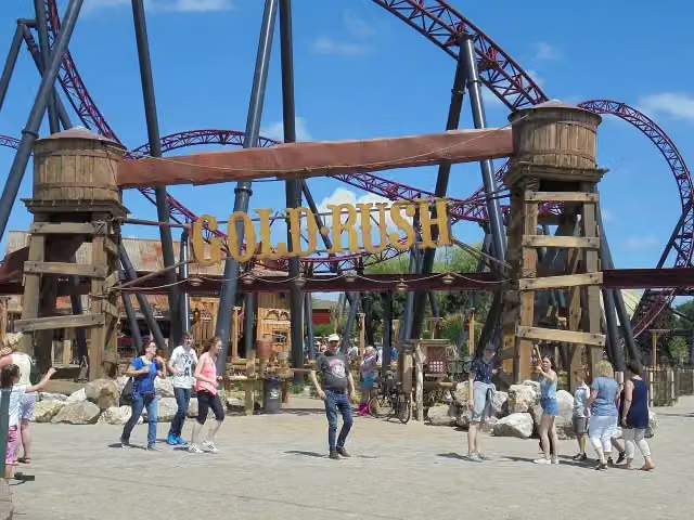 Gold RushAttraction · 1.2 km from the route
- 2
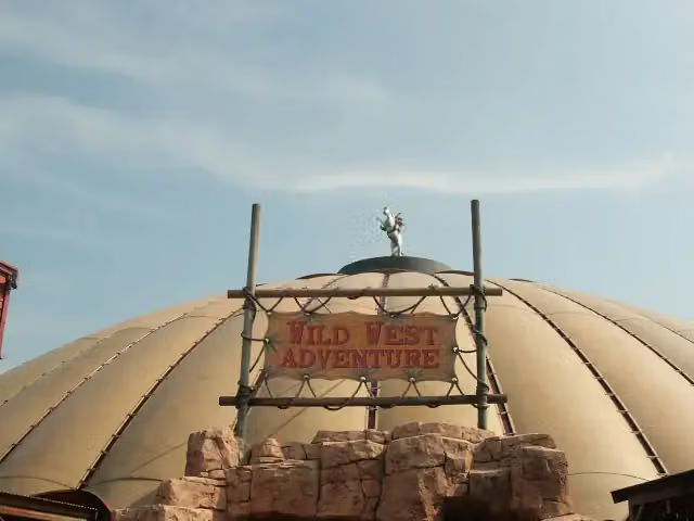 Red Bandits AdventureAttraction · 1.3 km from the route
- 3
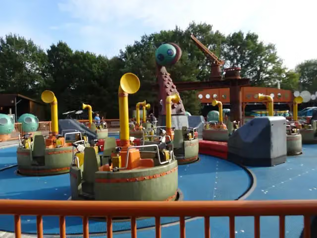 Expedition NautilusAttraction · 1.6 km from the route
- 4
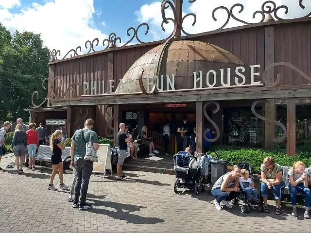 Phileas Fun HouseAttraction · 1.6 km from the route
- 5
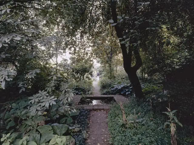 Tuinen Mien RuysAttraction · 3.8 km from the route
- 6
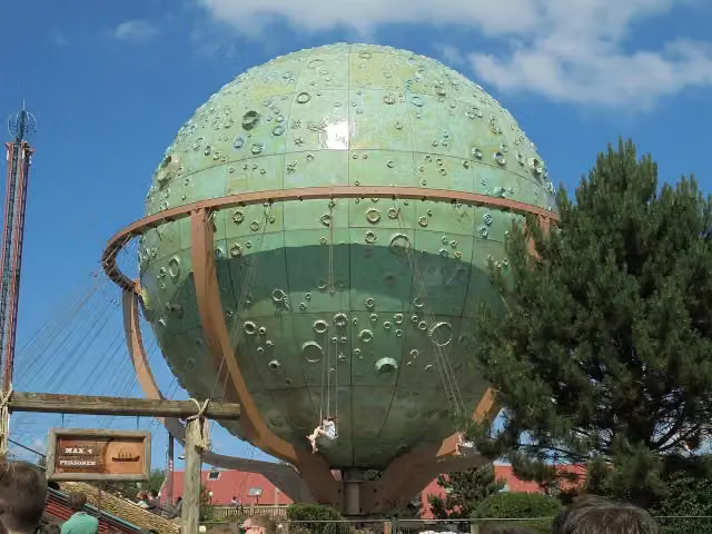 ApolloAttraction · 1.6 km from the route
- 7
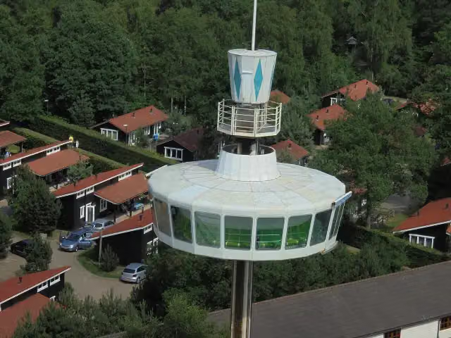 Sky TowerAttraction · 1.4 km from the route
- 8
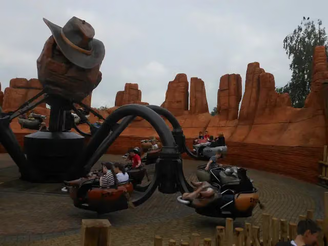 El ToritoAttraction · 1.6 km from the route
- 9
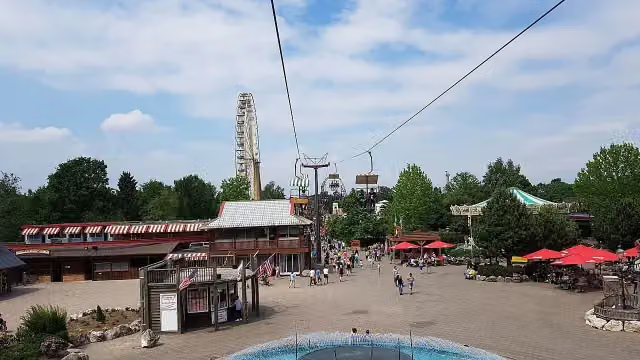 Cable CarAttraction · 1.1 km from the route
- 10
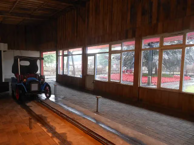 Old TimersAttraction · 1.2 km from the route
- 11
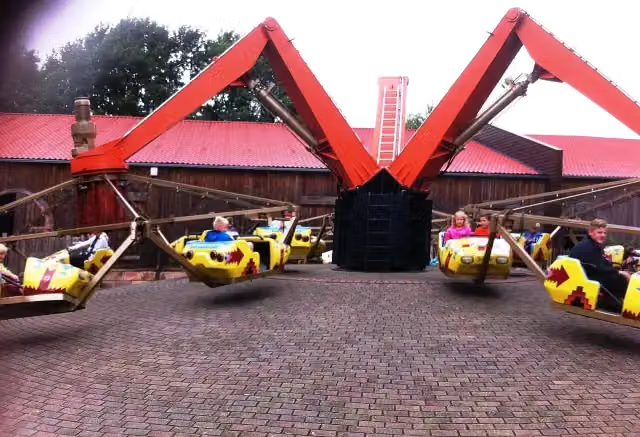 TomahawkAttraction · 1.2 km from the route
- 12
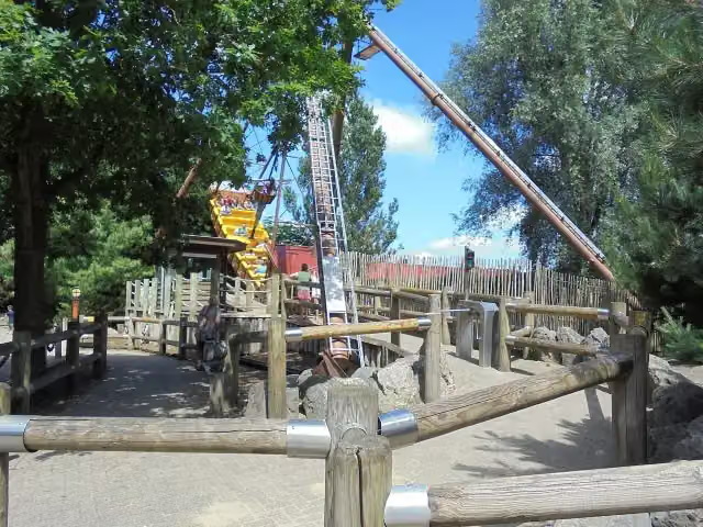 The PirateAttraction · 1.2 km from the route
- 13
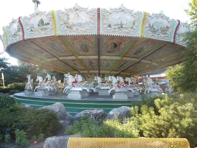 GallopersAttraction · 1.5 km from the route
- 14
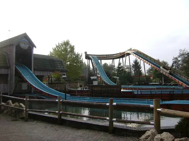 Ripsaw FallsAttraction · 1.5 km from the route
- 15
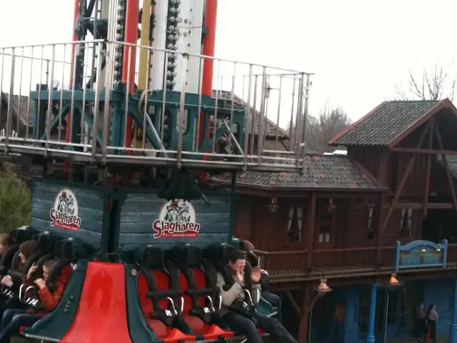 Free FallAttraction · 1.5 km from the route
- 16
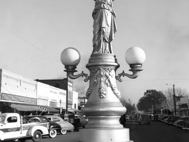 EnterpriseAttraction · 1.6 km from the route
- 17
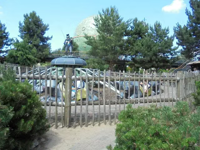 JumboAttraction · 1.6 km from the route
- 18
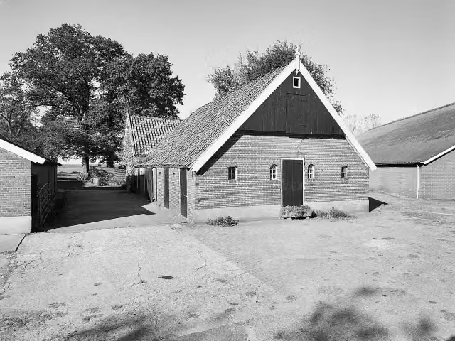 Loozensche LinieArchaeological site · 8.4 km from the route
- 19
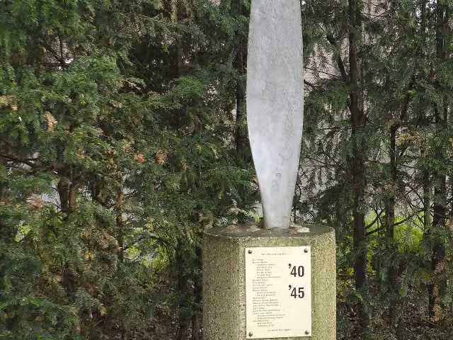 De KaarsMemorial · 8.9 km from the route
- 20
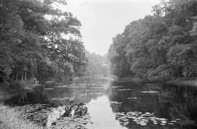 OmmerschansArchaeological site · 9.1 km from the route
- 21
 Chuck WagonAttraction · 1.2 km from the route
- 22Mine TrainAttraction · 1.5 km from the route
- 23Observation towerObservation tower · 8.6 km from the route
Explore more
Frequently asked questions
How long is WNW Vechtdal verbindingsroute D56-20?
WNW Vechtdal verbindingsroute D56-20 is 2.8 km long. Allow ± 35 min of walking: 4.5 km an hour and 10 minutes more per 100 metres of climbing, without breaks.
Is this route a circular walk?
No, the route starts and ends at different spots.
Where does this route start?
The route starts in Hardenberg.
How hard is this route?
Easy, with 3 m of climbing.
Are there toilets along this route?
No, there is no public toilet within 100 m of the route. Go before you start.
Can you fill up with water along this route?
No, there is no water point within 100 m of the route. Bring enough water.
Starting point
More routes from this place
Route data © OpenStreetMap contributors





