 Outdoor Pitstop
Walking route · Voorst · Updated on 14 November 2026
Klompenpad Woldermarkerpad walk
Klompenpad Woldermarkerpad is a walk of 6.5 km from Voorst that starts and ends at the same spot. Along the way you'll find 6 benches.
The route step by step
From start to finish, with what you pass along the way and the distance in between.
- 6.5 km
- ± 1:25 h
- ↑ 0 m · ↓ 0 m
- Easy
- Circular walk
- Local route
- Colour of the signs
This route is in pieces in OpenStreetMap, so there are no kilometres per pitstop. Along the way you'll find 6 benches.
Follow these steps in the appNo public toilet along the wayThere is no public toilet within 100 m of the route. Go before you start, or find one a bit further away in the app.
The route with the pitstops and sights within 100 m of it.
Elevation and terrain
- Up
- ↑ 0 m
- Down
- ↓ 0 m
- Highest point
- 6 m
- Lowest point
- 3 m
Nowhere steeper than 5%.
Elevation from AHN (Rijkswaterstaat), smoothed.
Way types
6.5 km in total- Path: 2.8 km
- Road: 1.4 km
- Track: 875 m
- Street: 824 m
- Busy road: 500 m
- Footpath: 96 m
Surfaces
6.5 km in total- Natural: 2.7 km
- Asphalt: 2.4 km
- Gravel: 525 m
- Paved: 443 m
- Unpaved: 400 m
- Unknown: 25 m
About the walking route Klompenpad Woldermarkerpad
Updated on 14 November 2026, with data from OpenStreetMap, the AHN and Copernicus.
Where do you walk?
Klompenpad Woldermarkerpad is a circular walk of 6.5 km from Voorst: it starts and ends in the same place.
How hard is the route?
The route is almost flat. You climb 0 m in total and descend 0 m. Allow ± 1:25 h, without breaks. The level is easy.
What paths do you walk on?
The longest part is path (2.8 km), road (1.4 km) and track (875 m). Of the surface, 2.7 km natural and 2.4 km asphalt. For 25 m the surface is not known.
Pitstops along the way
Within 100 metres of the route there are 6 benches. There is no public toilet within 100 metres of the route. The Outdoor Pitstop app navigates you there.
Woldermarkerpad: a local 6.5 km walking route
The Woldermarkerpad is a local walking route of 6.5 km. It is a circular route, so you start and finish in the same place. You don't need to walk back to your starting point afterwards or arrange another means of transport. If you are looking for the klompenpad Woldermarkerpad, this page has everything you need to prepare for the walk. The map shows the route, so you know where you are walking and where to turn. The elevation profile shows how the route changes along the way. The pitstops are marked too: the toilets, the drinking water and the benches along the route. This way you can decide in advance where to take a break, refill your bottle or simply sit down for a while. Take a look at the map and the elevation profile before you set off. That way you'll know what to expect on this 6.5 km walking route.
Surface and type of path along the way
The route alternates between soft paths and hard roads. Of all the kilometres, 42% is natural surface. Asphalt makes up 37% of the route. You also walk 8% on gravel, 7% on paved terrain and 6% on unpaved terrain. Roughly half of the route is therefore not on asphalt. The type of path also varies. Nearly half of the route, 47%, is footpath. You then walk 24% on a road and 15% on a field or forest track. The remaining 14% is street. After rain, the natural and unpaved sections can be softer, so wear shoes that give good grip. On the asphalt and the streets, walking is easy.
Along the way: pit stops and benches
On this route you will find 6 benches. These are places where you can sit down to rest for a moment, have something to eat or drink something. If the benches are spread evenly along the route, you will come across a place to sit roughly every kilometre on average. This is handy if you walk at a leisurely pace or prefer to take a short break more often. The map shows exactly where the benches are, so you can plan your breaks in advance and know where to sit down along the way.
Walks nearby
6- TuylermarkerpadModerate · Circular walk11.6 km
- NiebroekerpadModerate · Circular walk13.2 km
- WNW Salland - Nieuw Rande - blauwe routeEasy · Circular walk5.2 km
- Hanzestedenpad - 4/5/6Hard · From A to B55 km
- NS-Wandeling IJsselvalleiHard · From A to B32.5 km
- WNW Salland - Deventer/Nieuw Rande - paarse routeModerate · Circular walk11.6 km
Sights nearby
Within 10 km of the route, best known first.
- 1
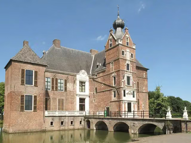 Kasteel CannenburchMuseum · 7.9 km from the route
- 2
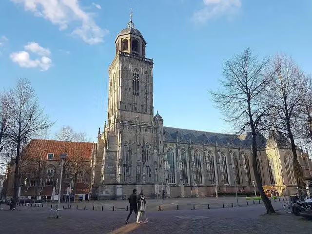 Grote of LebuinuskerkAttraction · 4.6 km from the route
- 3
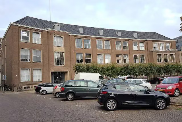 Museum EICASMuseum · 4.5 km from the route
- 4
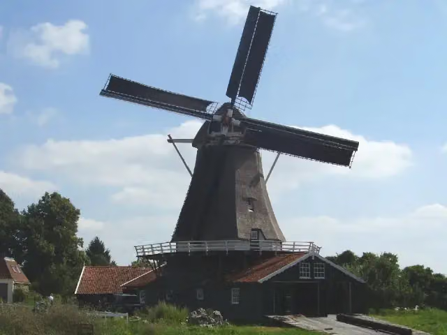 BolwerksmolenAttraction · 4.9 km from the route
- 5
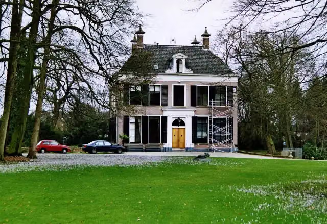 Het HolthuisCastle · 3.8 km from the route
- 6
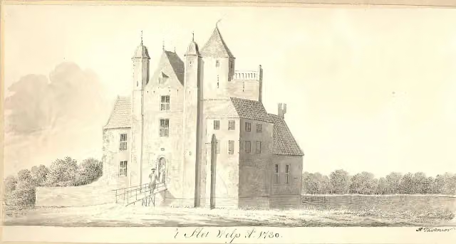 Slot WilpArchaeological site · 7.9 km from the route
- 7
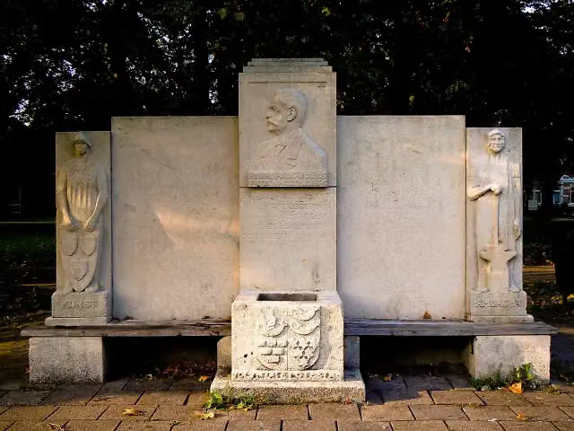 MemorialMemorial · 9.9 km from the route
- 8
 Museum De WaagMuseum · 4.9 km from the route
- 9Toy MuseumMuseum · 4.9 km from the route
- 10ProosdijAttraction · 4.5 km from the route
- 11Duursche Waarden - UitkijktorenObservation tower · 9.9 km from the route
- 12Observation towerObservation tower · 9.9 km from the route
Explore more
Frequently asked questions
How long is the Woldermarkerpad walk?
The Woldermarkerpad is 6.5 km long. It is a local walking route.
Is the Woldermarkerpad a circular route?
Yes, the Woldermarkerpad is a circular route. You start and finish in the same place.
How many benches are there along the klompenpad Woldermarkerpad?
There are 6 benches along the route. You can use them as a pit stop along the way.
What is the surface of the klompenpad Woldermarkerpad?
The largest part of the route, 42%, is natural surface. The rest is 37% asphalt, 8% gravel, 7% paved and 6% unpaved.
How much of the Woldermarkerpad is path?
47% of the route is path. The rest is 24% road, 15% field or forest track and 14% street.
Starting point
More routes from this place
Route data © OpenStreetMap contributors





