 Outdoor Pitstop
Walking route · Lübben (Spreewald) · Updated on 13 November 2026
Paul-Gerhardt-Weg Zubringerweg walk
Paul-Gerhardt-Weg Zubringerweg is a walk of 1.5 km from Lübben (Spreewald). Along the way you'll find 35 benches and 4 public toilets.
i
i
i
The route step by step
From start to finish, with what you pass along the way and the distance in between.
- 1.5 km
- ± 20 min
- ↑ 16 m · ↓ 10 m
- Easy
- From A to B
- Regional route
Start in Lübben (Spreewald)
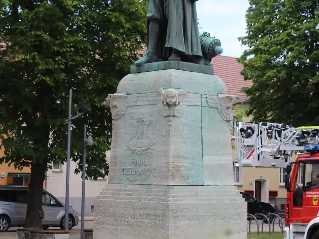
0 kmAt the start: Paul-Gerhardt-Denkmal and public toilet.
424 m · 16 benches

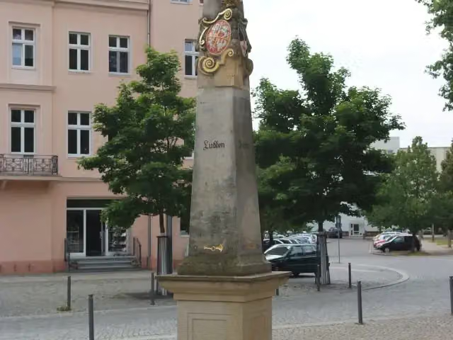
Kursächsische Postmeilensäule
424 mPublic toilet
200 m · 4 benches
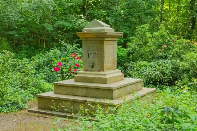
Liuba-Stein
624 mMemorial
842 m · 15 benches
Finish
1.5 kmAt the finish: 2 public toilets.
Longest stretch without a toilet: 1 kmBetween 424 m and 1.5 km there is no public toilet within 100 m of the route.
The route with the pitstops and sights within 100 m of it.
3 sights along the way
In the order you pass them. With the Outdoor Pitstop app you hear their story on the spot.
i
Photo: Dguendel · Wikimedia Commons · CC BY 4.0View the photo on Wikimedia CommonsMemorial · after 0 m
i
Photo: Oxensepp (talk) · Wikimedia Commons · CC BY-SA 3.0View the photo on Wikimedia CommonsAttraction · after 452 m
i
Photo: J.-H. Janßen · Wikimedia Commons · CC BY-SA 4.0View the photo on Wikimedia CommonsMemorial · after 624 m
Elevation and terrain
- Up
- ↑ 16 m
- Down
- ↓ 10 m
- Highest point
- 70 m
- Lowest point
- 53 m
- 1 flight of stairs
Elevation from Copernicus GLO-30 (European Union and ESA), smoothed.
produced using Copernicus WorldDEM-30 © DLR e.V. 2010-2014 and © Airbus Defence and Space GmbH 2014-2018 provided under COPERNICUS by the European Union and ESA; all rights reserved
Way types
1.5 km in total- Footpath: 675 m
- Path: 650 m
- Street: 125 m
- Stairs: 1 flight of stairs
Surfaces
1.5 km in total- Paved: 527 m
- Asphalt: 475 m
- Gravel: 450 m
About the walking route Paul-Gerhardt-Weg Zubringerweg
Updated on 13 November 2026, with data from OpenStreetMap, the AHN and Copernicus.
Where do you walk?
Paul-Gerhardt-Weg Zubringerweg is a walking route of 1.5 km that starts in Lübben (Spreewald). It does not end where it starts. You start in Paul-Gerhardt-Kirche and finish in Bahnhof Lübben (Spreewald). Along the way you pass Paul-Gerhardt-Denkmal (after 0 m), Kursächsische Postmeilensäule (after 452 m) and Liuba-Stein (after 624 m).
How hard is the route?
The route is almost flat. You climb 16 m in total and descend 10 m. There is 1 flight of steps along the way. Allow ± 20 min, without breaks. The level is easy.
What paths do you walk on?
The longest part is footpath (675 m), path (650 m) and street (125 m). Of the surface, 527 m paved and 475 m asphalt.
Pitstops along the way
Within 100 metres of the route there are 35 benches and 4 public toilets. The longest stretch without a toilet is 1 km. The Outdoor Pitstop app navigates you there.
Part of Paul-Gerhardt-Weg
Walks nearby
6- Paul-Gerhardt-Weg Etappe 9Moderate · From A to B15.1 km
- Jakobsweg Frankfurt/Oder - LeipzigHard · From A to B190.9 km
- Wanderweg Lübben-GoyatzHard · From A to B26.6 km
- Europäischer Fernwanderweg E10, Deutschland, BrandenburgHard · From A to B397.9 km
- Wanderweg Lübben-Straupitz-GoyatzHard · From A to B36.8 km
- Anschlußwanderweg E10Easy · From A to B1.1 km
Sights nearby
Within 10 km of the route, best known first.
- 1
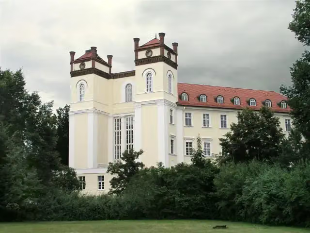 Schloß LübbenauCastle · 9.7 km from the route
- 2
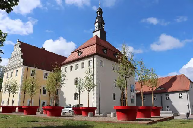 Museum Schloss LübbenMuseum · 295 m from the route
- 3
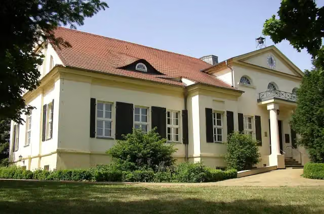 Schloß NeuhausCastle · 1.3 km from the route
- 4
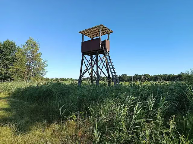 Aussichtsturm KockrowsbergObservation tower · 4.9 km from the route
- 5
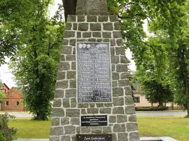 Gefallene beider WeltkriegeMemorial · 8.6 km from the route
- 6
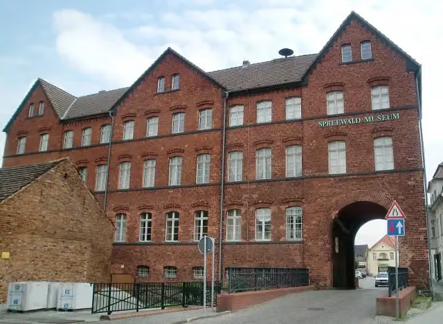 Spreewald-Museum LübbenauMuseum · 9.3 km from the route
- 7
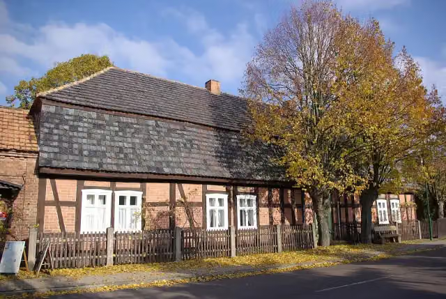 BauernmuseumMuseum · 9.5 km from the route
- 8
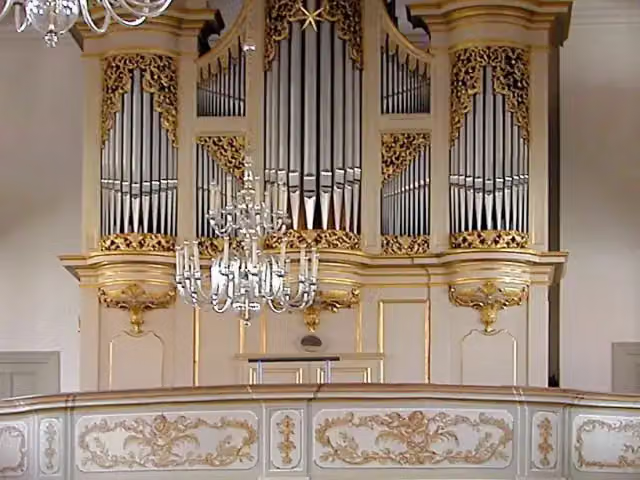 Historische OrgelAttraction · 9.6 km from the route
- 9Aussichtsturm WussegkObservation tower · 9.6 km from the route
- 10Weidendom SchlepzigAttraction · 9.8 km from the route
Explore more
More walks around Lübben (Spreewald)
Frequently asked questions
How long is Paul-Gerhardt-Weg Zubringerweg?
Paul-Gerhardt-Weg Zubringerweg is 1.5 km long. Allow ± 20 min of walking: 4.5 km an hour and 10 minutes more per 100 metres of climbing, without breaks.
Is this route a circular walk?
No, the route runs from Paul-Gerhardt-Kirche to Bahnhof Lübben (Spreewald).
Where does this route start?
The route starts in Lübben (Spreewald).
How hard is this route?
Easy, with 16 m of climbing.
Are there toilets along this route?
Yes, there are 4 public toilets within 100 m of the route. The longest stretch without a toilet is 1 km.
Can you fill up with water along this route?
No, there is no water point within 100 m of the route. Bring enough water.
What is there to see along this route?
Along the way you pass Paul-Gerhardt-Denkmal, Kursächsische Postmeilensäule and Liuba-Stein.
Can I download this route as a GPX file?
Yes. Sign in with your Outdoor Pitstop account and choose Download GPX at the top of this page: 10 routes a month for free, unlimited with Pro.
Starting point
More routes from this place
Route data © OpenStreetMap contributors





